Tag Archives: Ultrarunning

Olympic National Park: Hurricane Ridge to Sol Duc

Olympic National Park was founded in 1938, connecting the coastline to the temperate rainforest to the glacier lined high peaks of the Olympic peninsula. With over 900,000 acres of land and 600miles of trails, selecting a single day’s worth to visit as part of my National Parks project was a tall task. After combing through maps, talking to people with more experience in the park, I settled on connecting the sweeping alpine views of Hurricane Ridge to the deep forest of the Sol Duc valley. After a year of dealing with a chronic injury and rehabbing my way back to mostly functional, I decided to give the 39mi route a go, even though I was greatly undertrained, so the wheels started turning…

Sunrise from Hurricane Ridge in Olympic National Park

After landing in Seattle, I stocked up on supplies, grabbed my rental car, and headed straight to the Olympic Peninsula to meet up with my friend Jason, who had graciously (and excitedly) agreed to join for the long day ahead. We dropped a car shuttle at the bustling Sol Duc trailhead and headed back to Port Angeles to pack our gear and rest up for the long run. Sunday morning (8/25/24) we followed the Hurricane Ridge Rd to it’s end, parked our car, shouldered our packs and off we went. The clouds were swirling in the valleys below as the sun’s early morning glow illuminated the mountains, the whole scene felt very apt for a PNW adventure. We chatted as we cruised along the paved path to it’s end near Hurricane Hill, where our 5000ft descent to the Elwha River began.

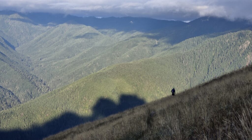
Alpine ridge running along Hurricane Ridge.

The first several miles of alpine tundra cruised by as we descended down the endless switchbacks into the dense forest below. Soft forest dirt, swooping switchbacks, calm and quiet trails, about as serene as we could have imagined. After about 1:45 we reached the decommissioned Elwha River Rd. In 2012 the Elwha River project began, removing the two dams along the river, returning the river back to its original channel, allowing the salmon to swim upstream, the silt to flow downstream and the valley to heal. With only foot traffic and bike traffic allowed, the 6.5mi on the road was incredibly quiet and pleasant as we quickly made our way to our next destination, Olympic Hot Springs.

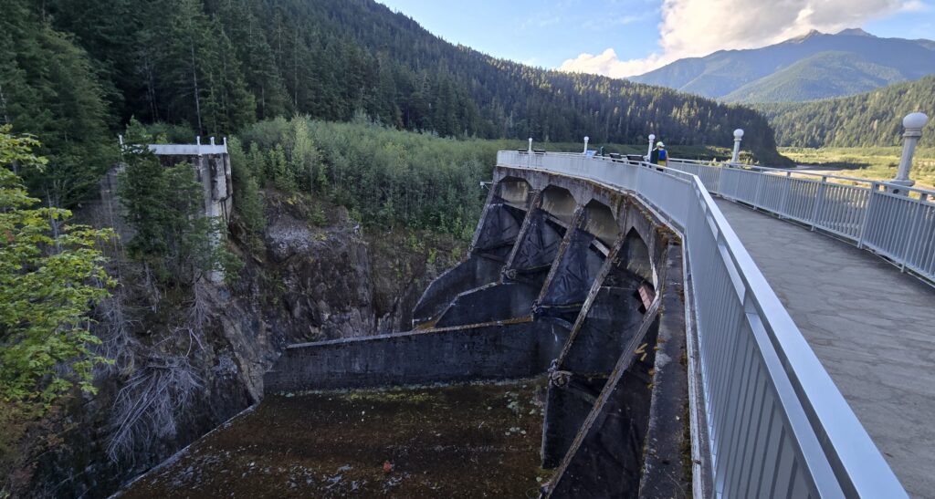
Gline Canyon Dam, decommissioned in 2014.
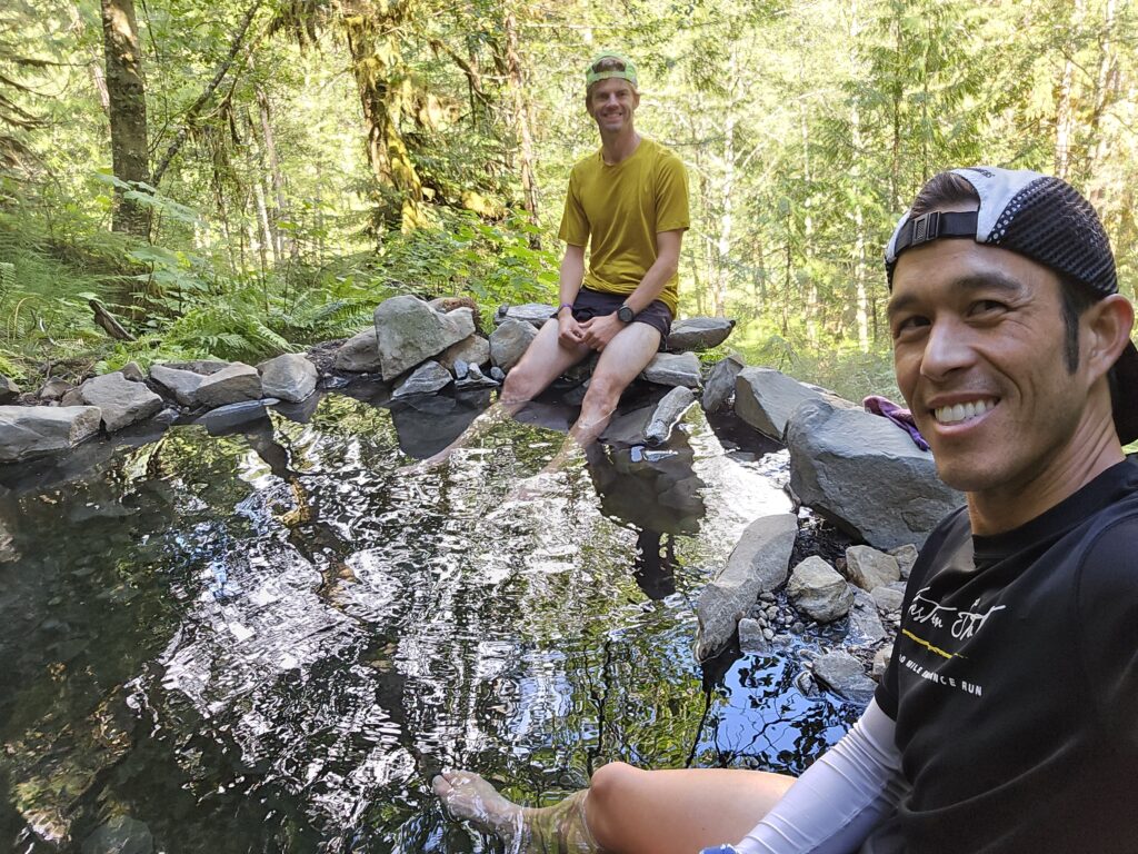
Soaking our legs in Olympic Hot Springs.

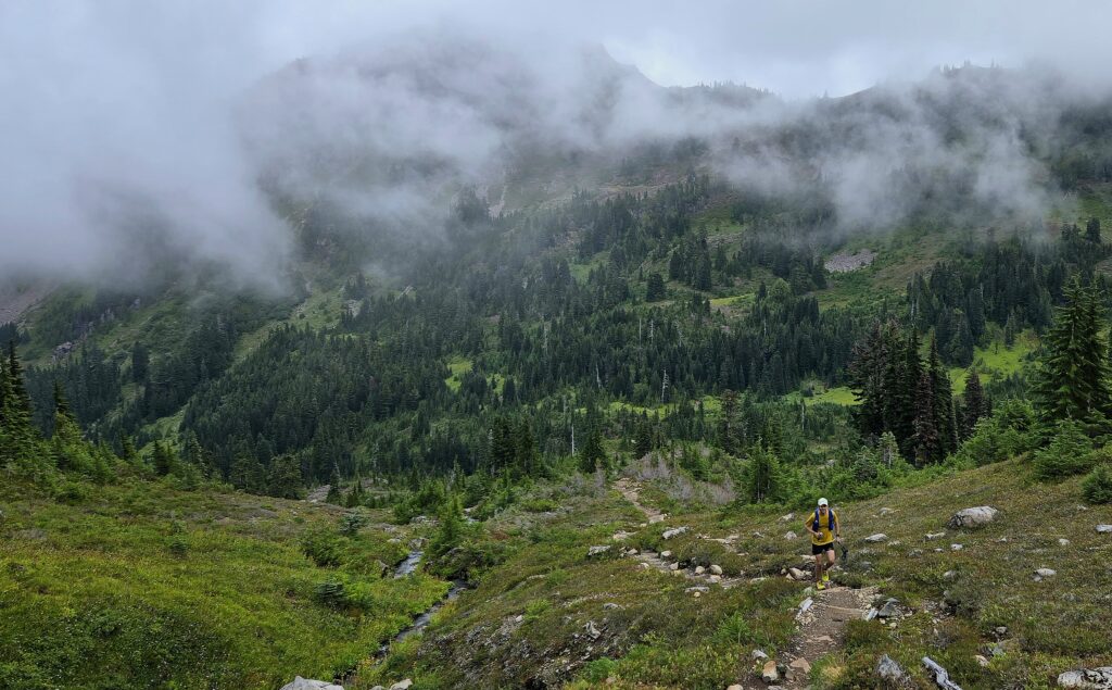
Olympic Hot Springs was long used by the Klallam Tribe, who introduced the first Europeans to the springs in 1907. A resort was then built to service the growing number of tourists visiting the area but was finally closed in 1966. This formerly busy hiking destination has now become quiet since the Elwha River project began in 2012, which turned the 1.5mi approach, into an 11mi haul. We stopped for quick soak in one of the toasty hot springs before continuing our 4500ft climb to Appleton Pass, it felt really nice to get our shoes off for a bit. Several miles after leaving the Hot Springs the trail finally kicked up as we pushed towards the pass. As we climbed over the pass, the trail changed from open grassland and tundra to deep dark forest as we descended into the fog that enshrouded the Western peninsula temperate rainforest.

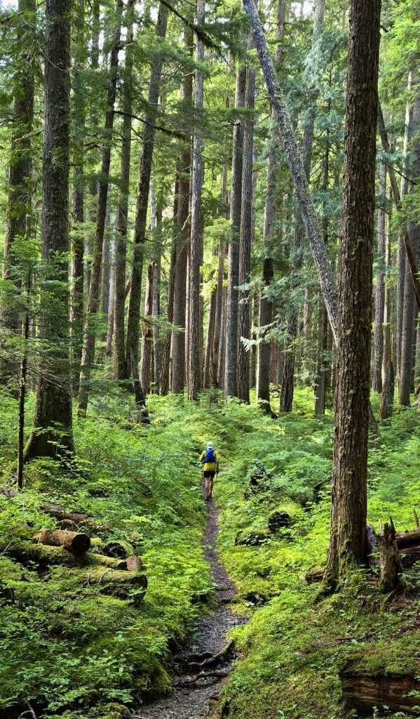
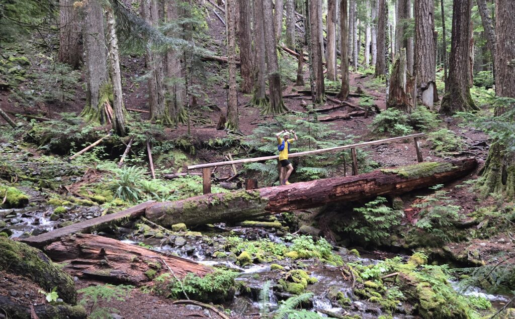
Lush green forest on the way to Appleton Pass.
Land of big trees along the Sol Duc river.

Back down we went to the Sol Duc river 2000ft below. Rain and dew dripped off the trees and bushes, while the spongy duff underfoot sunk with each footstep. From the Sol Duc river we climbed steadily back to Heart Lake, which marked the transition back into the alpine. It also marked the furthest I’d run in over a year (>29mi), since Cascade Crest 2023. Low clouds danced around the ridgelines, enveloping the surroundings mountains and lakes, only to just as suddenly part and reveal their secrets. Most of our run along the High Divide trail was in the clouds, a bit of a bummer as we were hoping for views, but enjoyable in its own right.

Climbing up towards Heart Lake as the clouds drop in.
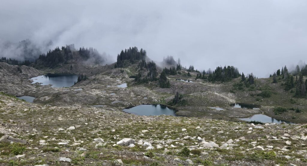
Seven Lakes Basin in Olympic National Park.

After a short wrong turn near Bogachiel Peak, we started our descent towards Deer Lake. As we descended the clouds began to part, and we got one final glimpse of the surrounding mountains before dropping back into the dense forest below. Now 32mi and 10:30 in to our day, my lack of training was starting to show. My legs were shelled, I was totally exhausted and it took all my remaining strength to just stay upright as we descended the rocky trail back to the Sol Duc River. We kept plodding along down, down, down, finally reaching the bridge across Sol Duc Falls. It was this spot 20 years ago, in a rainstorm, where I first fell in love with Olympic National Park. The calming thundering of the water, the beautiful contrast of the water, greenery and black rocks and the liveliness of the surrounding rain forest.

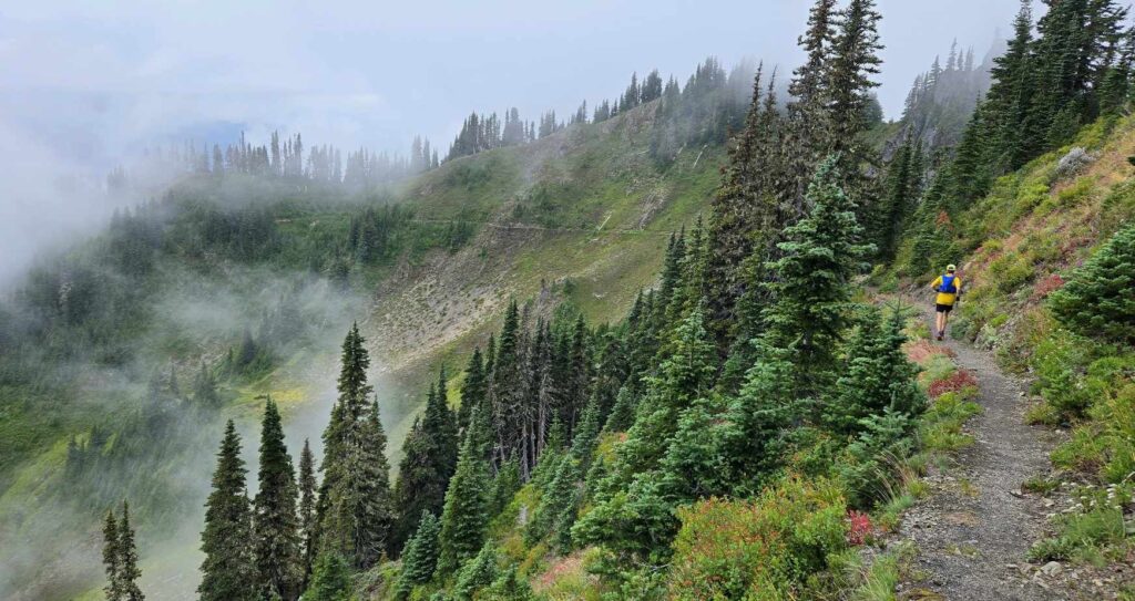
High Divide trail in Olympic National Park. A+ trail running.
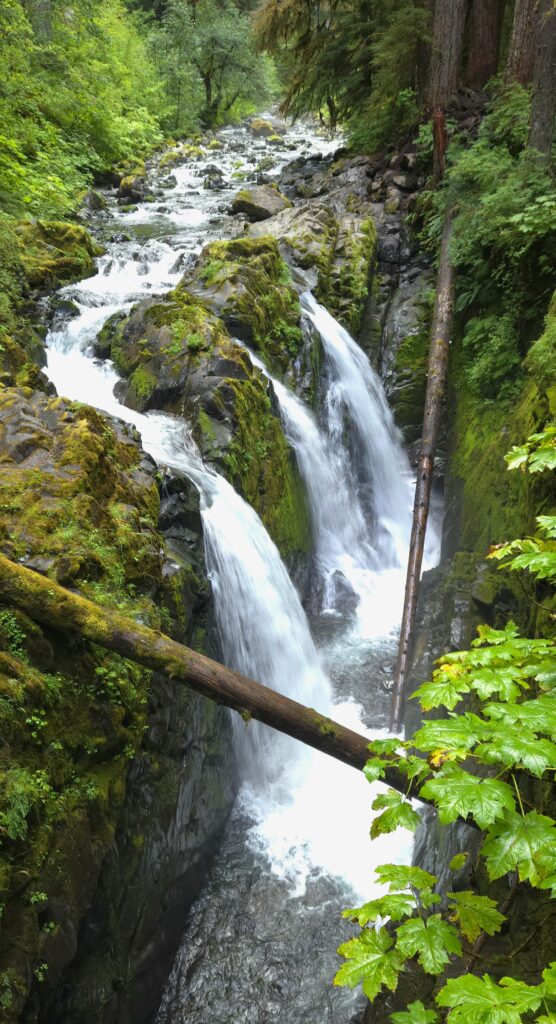
Sol Duc Falls in Olympic National Park.

We jogged the last 1/2mi back to the trailhead, soaking in the soft smooth trail through the rain forest, finally reaching the Sol Duc trailhead 39.9mi and 12h30min after we’d left the cars at Hurricane Ridge. I was elated to have been able to complete the adventure after such a challenging year, but at the same time utterly shelled after pushing my body further than it was trained for. The traverse had provided everything I could have hoped for from the day, even though we’d barely scratched the surface of what Olympic National Park has to offer. Olympic doesn’t have the hype of it’s more well known brothers and sisters (it’s 10th on the visitation list), but it has all the majesty, beauty and diversity to inspire endless wonder.

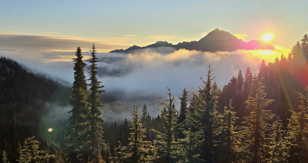
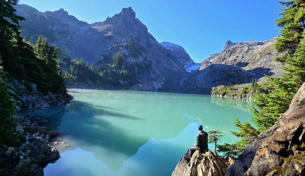
Jade Lake in the Alpine Lakes Wilderness (not Olympic National Park)

Kings Canyon National Park Ultra, 8/23/2020

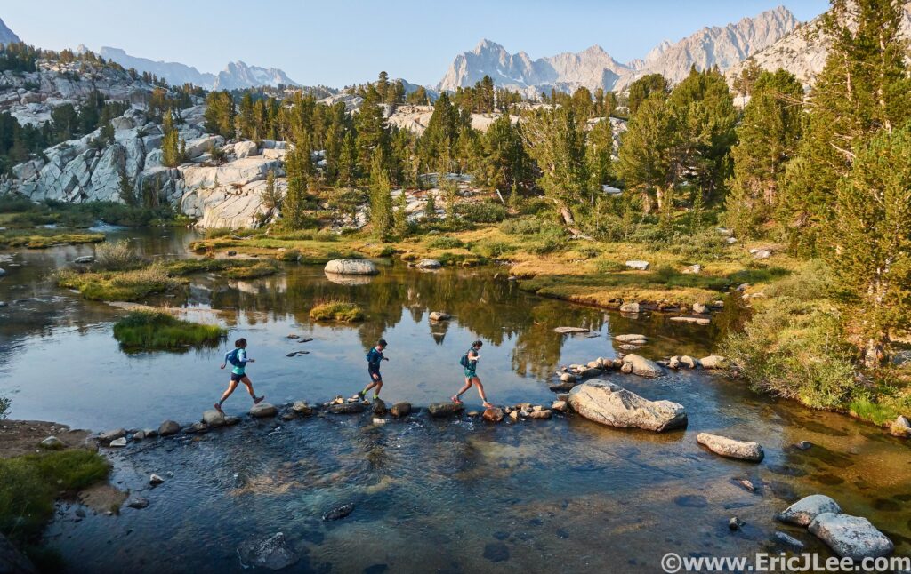
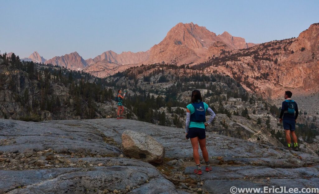
Erika, Adler and Flan crossing the river on the way to Echo Lake from Lake Sabrina.

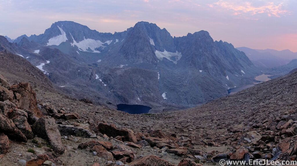
I grew up backpacking the deep canyons and rivers of Kings Canyon National Park, then later in life honed my mountaineering skills and scrambling head on the high peaks of the Range of Light. The remove alpine meadows, rugged peaks, crystal blue lakes and abundance of lonely places are all reasons that Kings Canyon National Park holds a special place in my heart. From the John Muir Trail to Mt Whitney, there are numerous well known landmarks that draw outdoor enthusiasts to the area, and rightfully so. In all of my exploring, one area that had eluded me was the infamous but remote valley of Ionian Basin. A high alpine granite playground, guarded by the hulking figures of the Black Giant, Charybdis, the Three Sirens, Scylla and Mt Gottard, containing numerous crystal blue alpine lakes and seen only by a handful of eyes each year, it’s a destination only for the most dedicated, hardy and adventurous. A place I’d only seen from the summit of Mt Solomon in 2004 while hiking the John Muir Trail.

Early morning light on Lake Sabrina.
Sierras we have arrived. Taking in the early morning light enroute to Kings Canyon NP.

With the Covid pandemic raging throughout the US, Flannery, Adler, Erika and I decided to plan a trip to the California mountains to explore a little not too far from home nature. The wheels went in motion to do some trail running, hot spring exploring, Whoa Nellie chowing, capped by two epic runs in Kings Canyon NP and the Yosemite NP High Country, ticking off two of my National Park Ultra Marathon project runs. I was excited to share a little of my former backyard and old stomping grounds with several of my best friends and craving a little new adventure. After quickly getting settled in to our Eastern Sierras campground outside of Bishop the night before our Kings Canyon adventure, we began to pour over maps for the proposed route.
Flan and Adler: “So how much of this route is off trail?”
Me: “Maybe 50%? It’s all fine.”
Flan: “Wait, what?”
Woops, I guess I had underplayed the amount of off trail navigation, talus and challenging terrain the run would entail, a lesson we’d all be learning the next day.

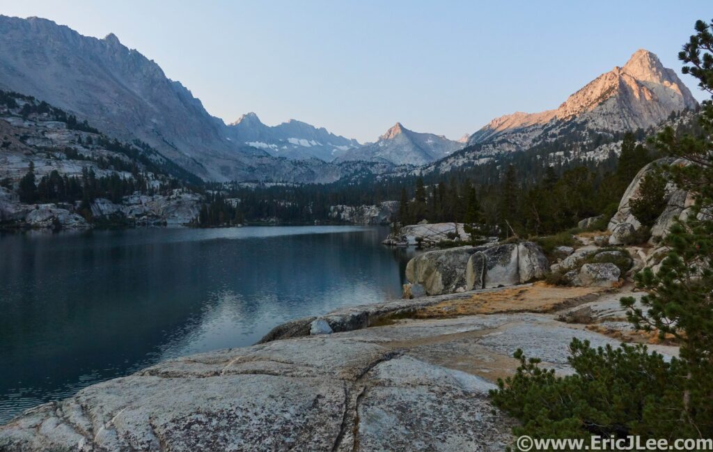
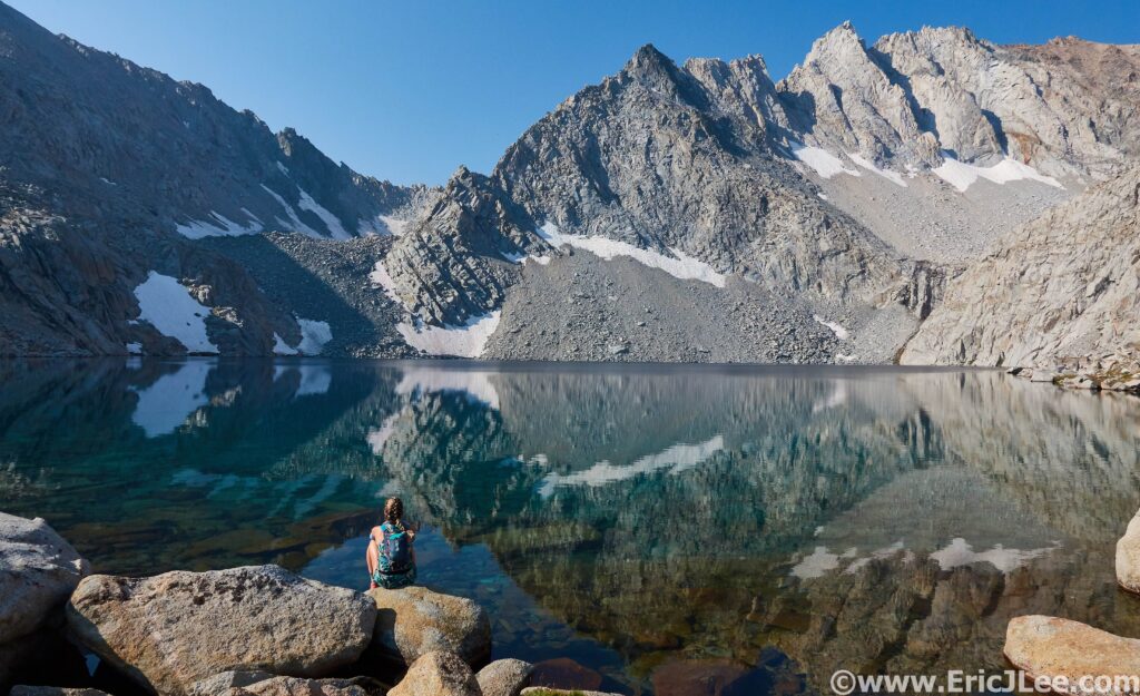
The beautiful reflection of Echo Lake with the SE ridge of Mt Wallace in the background.

We started out at sunrise from our car at the North Lake Trailhead, jogging the road across to Lake Sabrina, then on up the trail towards Echo Lake. The early morning light was hazy with all the smoke hanging in the air, but the scenery was stunning, and our spirits were running incredibly high. Our trail started to thin out as we neared Echo Lake, one of the most stunning turquoise blue granite lined lakes I’ve ever seen. From Echo Lake the fun began, with a loose talus scramble up to the elusive Echo Col, we missed the correct notch on our first try, getting cliffed out, but found easier passage through the cliff bands and down towards the JMT. Our route from Echo Col down to the JMT was some of the loosest and most heinous talus I’ve encountered, and the group was not too pleased (understandably so). Finally we stepped off the alpine tundra and back on to the well constructed trail of the JMT, now deep within the heart of Kings Canyon…. But our adventure was only beginning.

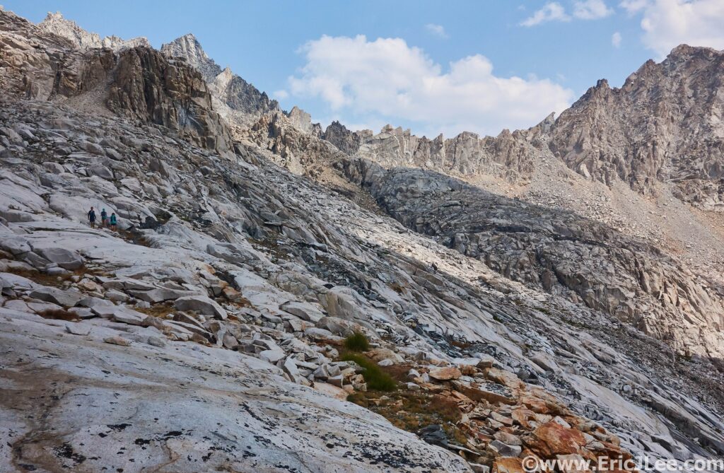
Navigating the complex landscape below Echo Col (back Right) on our way to the JMT.

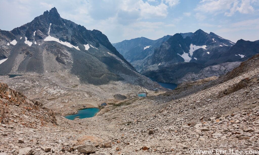
With a realization that the day was already quickly passing by, the travel had been tough and slow, the other three opted to follow the JMT directly over to Evolution Basin and Darwin Canyon, while I made a mad dash from the JMT southward up and over the divide and into Ionian Basin. We bid our farewells for the moment, and I powered up the hill as the others took a dip in the icy water of Helen Lake. As I crested the western saddle of the Black Giant and descended the talus into Ionian Basin I was greeted by a dozen beautiful shimmering alpine lakes and the imposing North face of Charybdis. I rocked hopped across the talus West through the basin towards the low point on the Goddard Divide that would drop me back to Wanda Lake. As I climbed away from Lake 11592 towards the saddle, taking in the expansively stunning views, dark clouds began to roll over head…. then a clap of thunder…. all of it way to close for comfort.

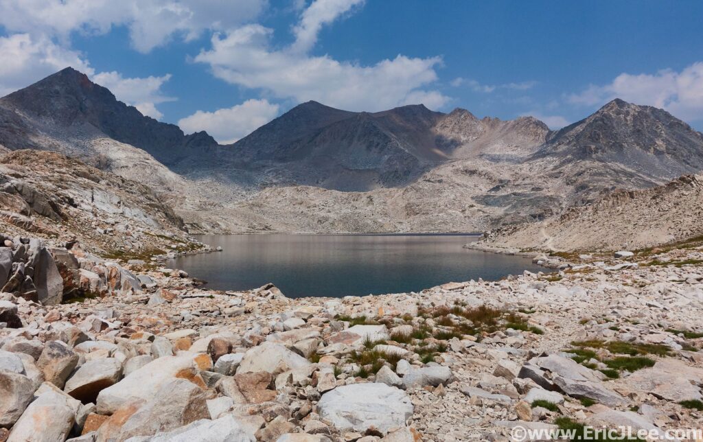
Looking back at Helen Lake as I climb towards Ionian Basin.
Ionian Basin in all it’s glory with Charybdis and The Three Sisters guarding it’s entrance.

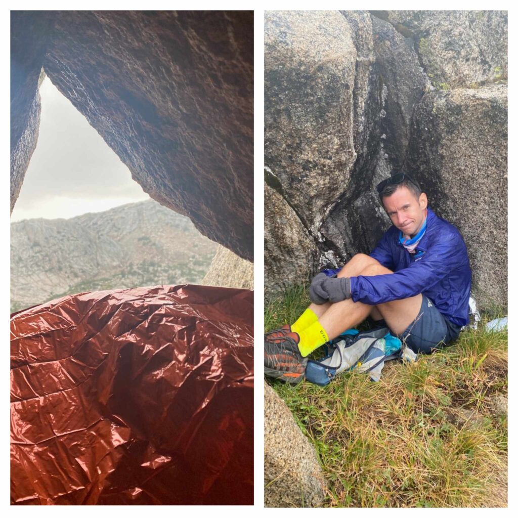
I put my head down and began to power up towards the saddle, cresting just in time to see the sky explode behind me as bolts of lightning hit the peaks directly across Ionian Basin, oh shit, must go faster, must go faster. The rain began to fall, thunder rolled overhead, and I was still miles from any significant amount of tree cover and safety. My heart raced and all the hairs on my arm stood on end as I raced down the now rain-soaked talus towards Wanda Lake. When I reached the lake shore at 11400ft, a bolt of lightning struck the ridge behind me and pea sized hail began to fall. I ducked under the nearest large boulder, which only provided marginal protection from the elements in the mostly barren landscape surrounding Muir Pass. Outside of my attempt on the Colorado 14ers in 2015, it was the most terrified I’ve been in the outdoors in my entire life. I donned all my clothing, rain jacket, rain pants and beanie, then crouched down under the small overhang, praying that it would provide me enough protection from the massive storm raging directly overhead.

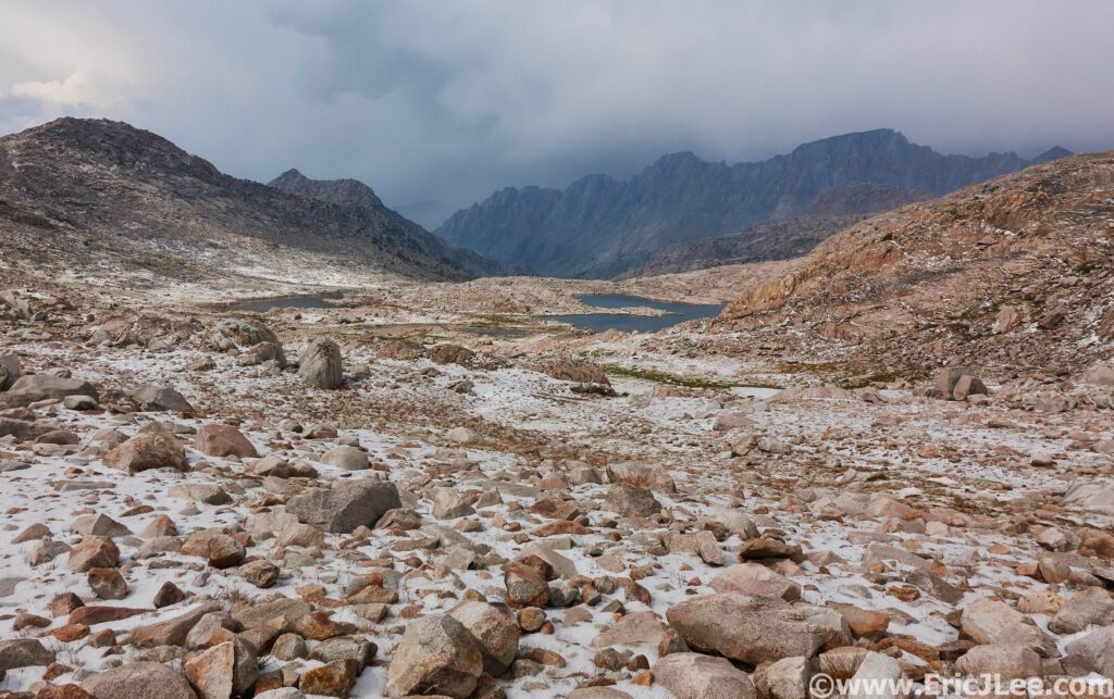
I sat wondering if this was going to be the day where my hubris got the better of me, how long was I going to be stuck under this rock, praying that my friends (who were ahead of me down valley) were faring better than I was, and that I’d get to see them again later that day. Finally, after what seemed like hours (probably was 40-50min) the storm passed on down Evolution Basin, and dissipated North as it cleared Mt Darwin. In it’s wake it had left everything coated in two inches of hail, my teeth chattering but an immense amount of gratitude that I had survived the ordeal. I jogged down the hail and rain soaked trail into Evolution Basin, one of the crown jewels of the John Muir Trail. At last I reached the climbers trail turn off into Darwin Basin that would take me to Lamarck Col, and eventually back to the car.

Flan’s view and Adler’s “Unhappy with Eric” face as they ride out the storm.
I was stuck in this landscape for almost an hour as the storm raged. It’s aftermath, clear skies and hail strewn boulder fields.

The challenging terrain, emotional distress of the storm and the long day were already wearing on me, but I soldiered onward with a single purpose, to get it done. As I rounded the first lake in Darwin Canyon I saw three figures on the far side of the lake: it was Adler, Flannery and Erika and we all let out cries of joy at seeing each other and being reunited after so many hours and the harrowing ordeal we’d all endured. They too had gotten ravaged by the storm and had been forced to hide under a few boulders for an hour as it passed directly overhead. We slogged our way up canyon, finally hitting the final 1300ft climb to Lamarck Col. By this point we were all pretty toasted, and it took all of our strength to navigate our way through the boulders upward to the pass. We crested the pass just as the sun’s final rays were illuminating the Western sky, and took that moment to express a little gratitude for the beauty of where we were and what we had experienced, despite the hardships of the day.

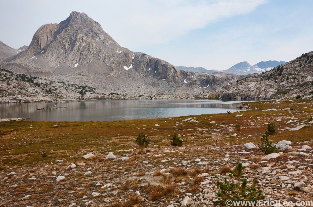
Sapphire Lake along the JMT in the heart of Evolution Basin.
Sunset from the top of Lamarck Col looking back into Darwin Basin. What an epic day, and what an epic journey.

We descended down the endless gravel and sand towards North Lake, finally collapsing at our car, 16hours after we had started. We were all exhausted, starving but ecstatic to be done running for the day. The day had been anything by smooth, but we had all come out of it, learning more about ourselves, our friends and with a profound respect for the unforgiving power of Mother Nature. Because along with her beauty, comes a sometimes uncontrollable fury that reminds us all, we are not in control and we are but guests in her amazing landscape. Kings Canyon still holds an incredibly special place in my heart, a place filled with so many wonderful memories, stunning vistas and unforgettable experiences at all levels. Being able to share it with my friends meant a lot, though I think we all could have done with a little less death talus and without the violent thunderstorm that soaked and shook us all. Kings Canyon National Park Ultra Run, 33mi, 8600ft vertical gain, 15h17min. From Lake Sabrina, over Echo Col, over Muir Pass, into Ionian Basin, through Evolution Basin, into Darwin Basin over Lamarck Col and back down.
Strava Segment #1
Strava Segment #2

Great Sand Dunes NP Ultra, 5/1/21

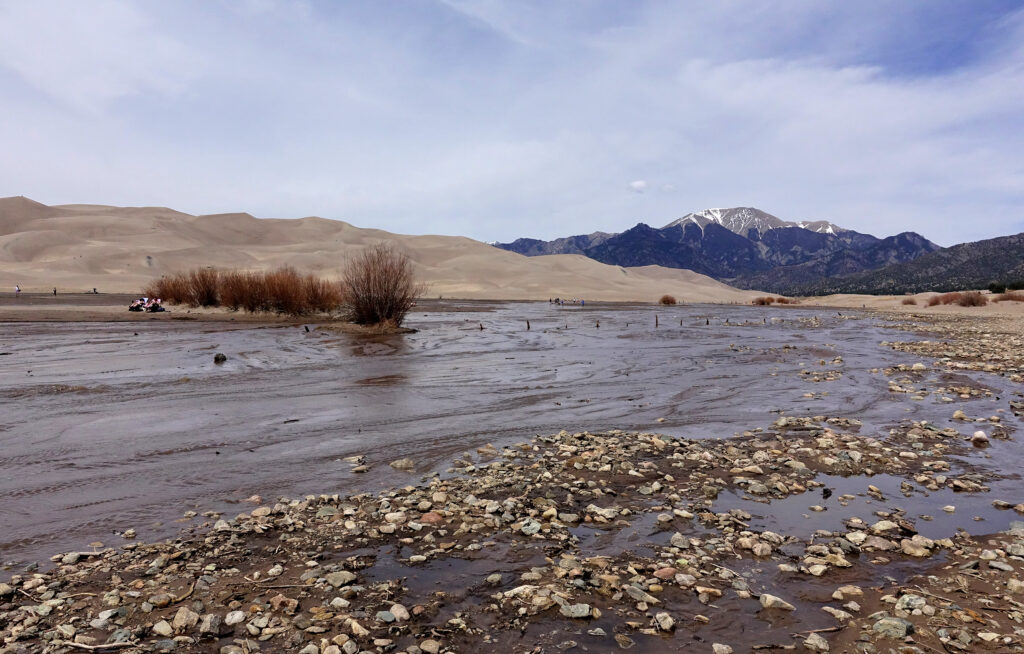
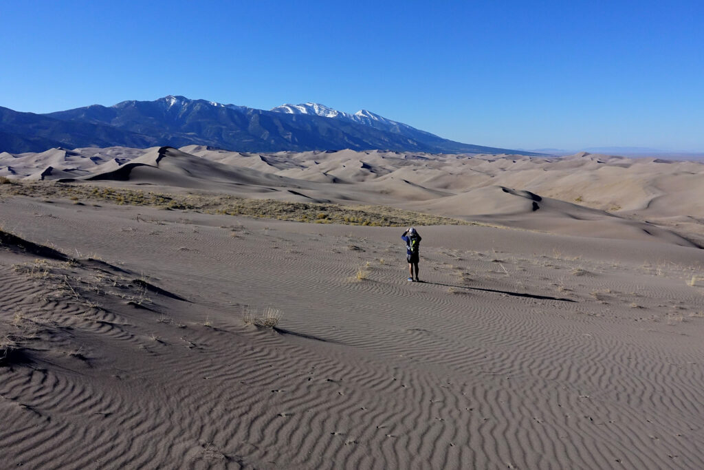
Nestled along the Western edge of the Sangre de Cristo Mt range is a wind-swept area of the San Luis Valley where the winds push the sand from Medano Creek into towering dunes.

Medano Creek in full flow in May at Great Sand Dunes NP.

Who knows what a pulse flow is? Unless you’ve been to Great Sand Dunes in the spring/early summer you’ve probably never heard of this term. A pulse flow is a phenomenon that happens when the river flowing through the dunes, dams itself up with sand, eventually breaking those dams, so you get pulses of increased flow (or mini floods) working their way down stream in a wave like pattern.

Great Sand Dunes National Park was established as a National Monument in 1932, and upgraded to a National Park in 2004 to protect the unique sand dunes forming at the base of the Sangre de Cristo Mts as Medano Creek flowed down. This ecosystem brings in a variety of flora and fauna not typically seen together and creating 500ft tall sand dunes! Most people come to this National Park to play in the river, climb the dunes and some to sandboard down. Very few get to experience the heart of the dunes or the mountains surrounding them. When I hatches the plan to do a Great Sand Dunes crossing (7mi of sand), I got lots of “Hell No” from friends, but not my friend Ben. Ben loves anything novel, and this sure was going to be a novel experience.

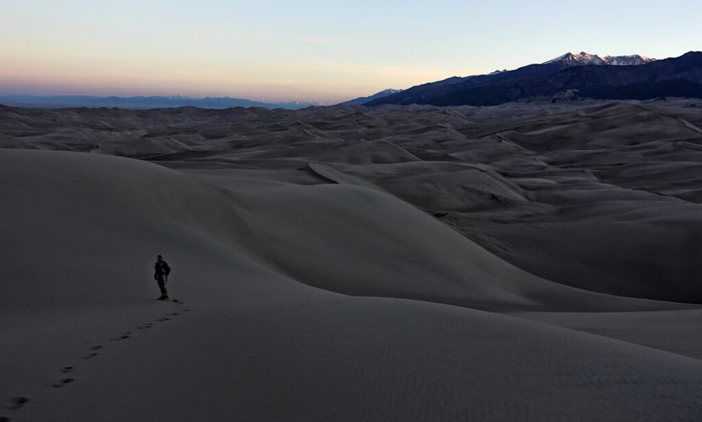
Sunrise over Great Sand Dunes NP with the Sangre de Cristos in the background.

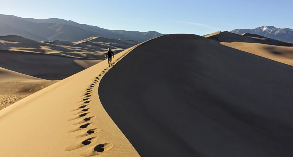
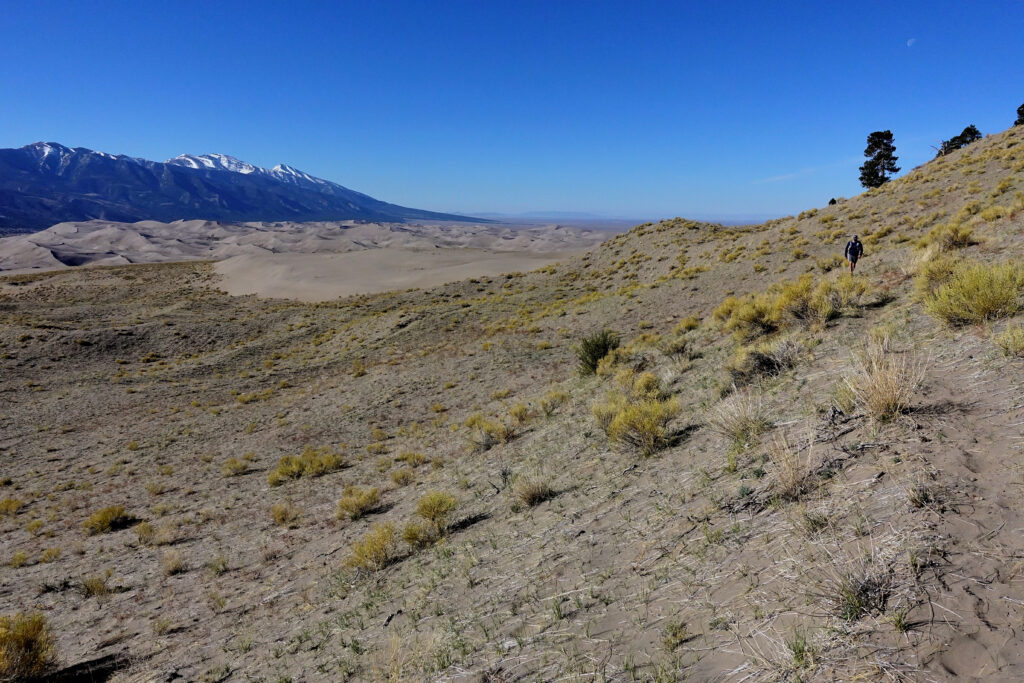
We set out just before sunrise, hopping across the sandy shallows of Medano Creek and on up Star Dune, the tallest in the park at 741ft. We quickly found if one stuck to the ridges and valleys the sand was actually not bad to walk on. As we crested the high dunes, the first rays of sun were lighting up the sky above the Sangres, leaving us far below in shadow. We cruised across the dune tops and through the massive valleys, slowly making our way North to the Sand Ramp trail. We made quick time across the dunes (3h for 7mi), reaching the ‘trail’, which was really more of a sandy path. We jogged/walked back to the Medano Pass 4×4 Rd, where Ben and I would part ways. After dumping a pound of sand out of our shoes, I continued up to Medano Pass, while Ben headed back to the visitor center.

Ben traversing the dune tops in the morning sunlight.
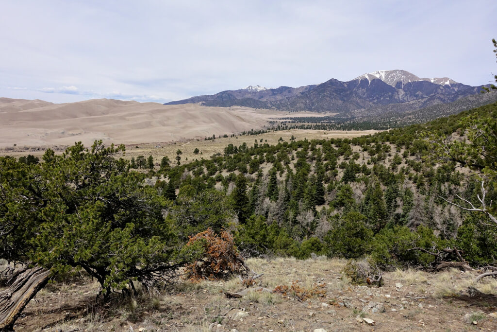
Sand dunes and snowy mountain tops.

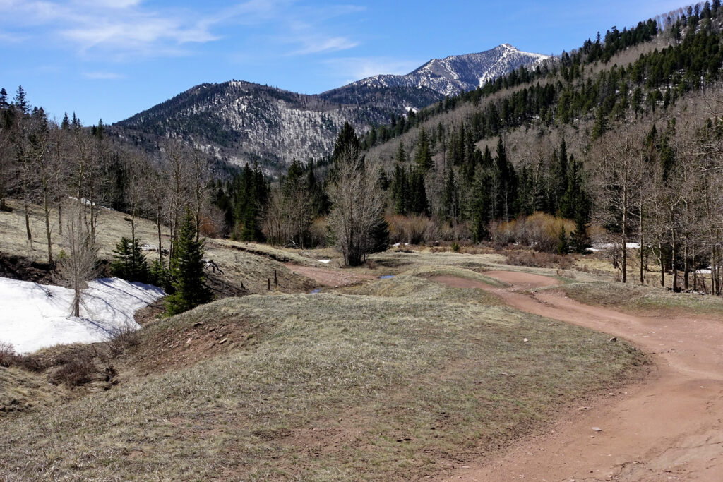
The road was smooth and went by quickly until about 500ft from the pass, where I started to hit patchy snow. Small at first, but they slowly grew bigger and deeper as I neared the pass. I reached the top of Medano Pass without too much difficulty, marked only by a sign describing the early pioneer’s efforts to get over the pass. It was early enough in the year that no cars were allowed up to the pass, so I had a quiet run down back to the Sand Ramp trail. From there it was the final grind back around the East side of the dunes, with a quick stop at the overlook to take in the immensity of the dunes. Then on back to the visitor center for a dip in the creek and a soda.

Making our way across the Sand Ramp ‘trail’.
Medano Pass Rd, climbing high into the Sangre de Cristo Mts. The source of Medano Creek and all the sand that makes up the dunes.

29mi and 4300ft later I pushed through the reeds growing along Medano Creek, arriving back at the beach party, closing my loop. I found the rest of our gang hanging out in Medano Creek: building sandcastles, dams and splashing in the water. It’s truly the closest thing Colorado gets to a beach day, and it’s such a unique way to experience it. I wouldn’t classify the Sand Dunes as a great running destination, but it is a unique place, especially in the late spring/early summer when the water flows and the days are warm. If you’re feeling bold, wander beyond the first 1/2mi into the heart of the dunes where you’ll have the park almost entirely to yourself. I promise you won’t be disappointed.

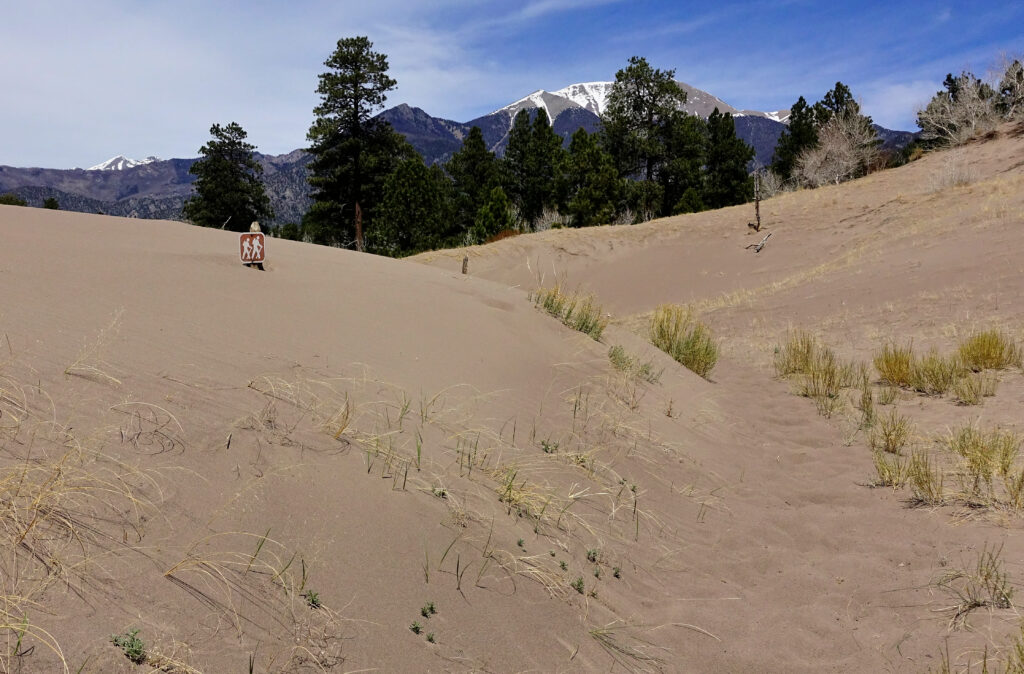
Reminder…sand dunes can move and cover the trail and bury signage.
View of the Sand Dunes from viewpoint near the end of the run.

Capitol Reef Ultra, 3/27/21

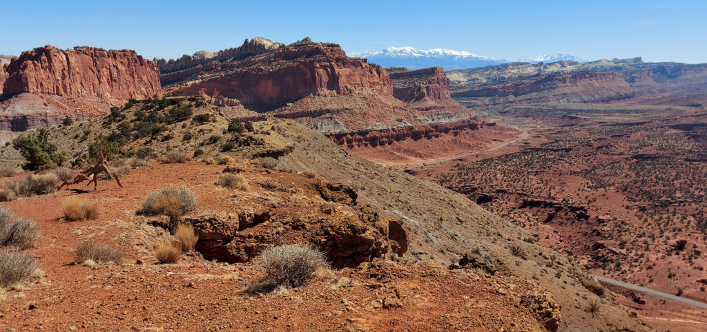
Capitol Reef from near Torrey with the Henry Mts in the background.

Utah has 5 National Parks, each encompassing a unique and amazing landscape. Of those 5, Capitol Reef definitely gets the least attention, and so many people are missing out. Take the slot canyons and washes of Zion, throw in a few arches and the cherry on top is the amazing geology of the 100mi long Waterpocket fold and you’ve got a slickrock wonderland, full of hidden passages and deep and narrow canyons. Capitol Reef National Park may not have just one thing that wows people or that draws tourist from around the world, but spend a little time there and you’ll start to unravel the mystery and magic that makes this National Park so spectacular.

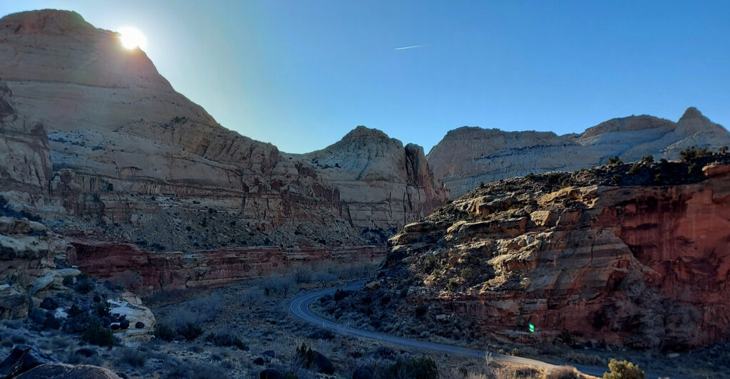
The heart of Capitol Reef in the middle of all the canyons.

I started my Capitol Reef NP run from the Visitor Center along Sulphur Creek, jogging South along the park road, across the Fremont River and starting up the Cohab Canyon trail. The trail quickly climbs along the cliffside, breaking a gap in the wall the trail enters a high canyon cutting into the heart of the reef. My first destination was Hickman Bridge, a well known natural bridge the trail passes right under. Looping back to Cohab Canyon, I quickly turned off onto Fryingpan Trail, climbing up to the top of the reef. The Fryingpan Trail undulates along the top of the reefs, rims of the slot canyons and across the top of the reef. Eventually dropping down to the iconic Cassidy Arch and into Grand Wash.
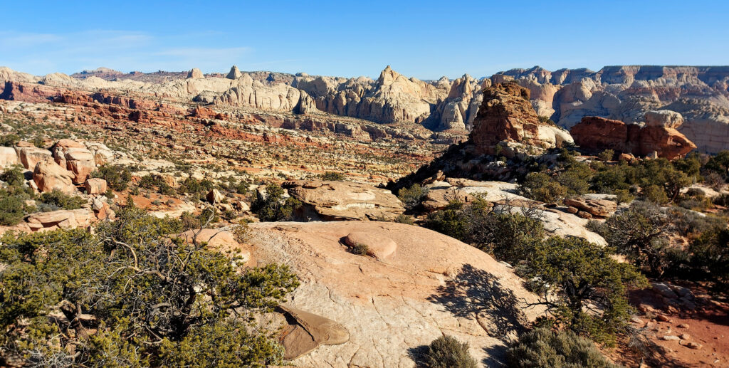
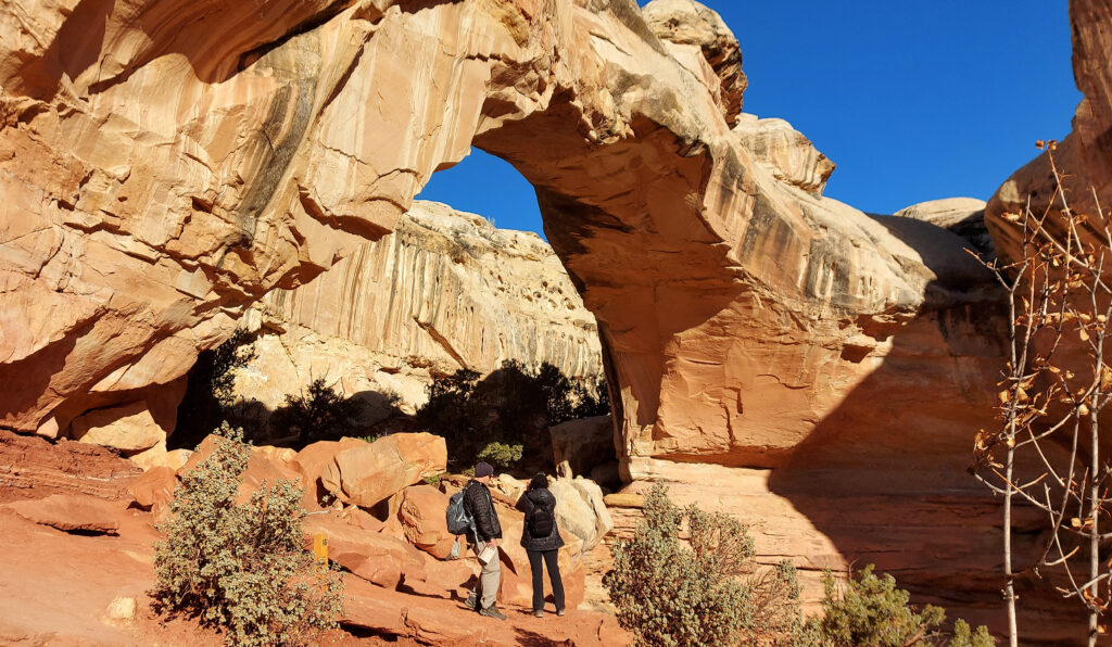
Hickman Bridge in Capitol Reef NP.
Views along the Frying Pan Trail in Capitol Reef.

Grand Wash’s massive walls rise hundreds of feet above the 20ft wash, terminating at the Fremont River. After a quick water and food resupply at the road crossing, I setup for the first technical obstacle, the ford of the Fremont River into Spring Canyon. The water was very chilly, about thigh deep and moving with some speed. Once across I bushwacked my way into Spring Canyon, and started the slow ascent up the 25mile long Spring Canyon. Trapped deep within the canyon, with no easy exit for 10mi, it’s a very quiet and isolated place in the heart of Capitol Reef, only a few miles from the park road. Soaring white and red sandstone walls, massive spires, narrow slot canyons and lots of hidden nooks. The canyon finally opens up after 10mi near Chimney Rock Canyon, and the trail splits up and over Chimney Rock, which offers fantastic views of the back side of Capitol Reef and towards the Aquarius Plateau.
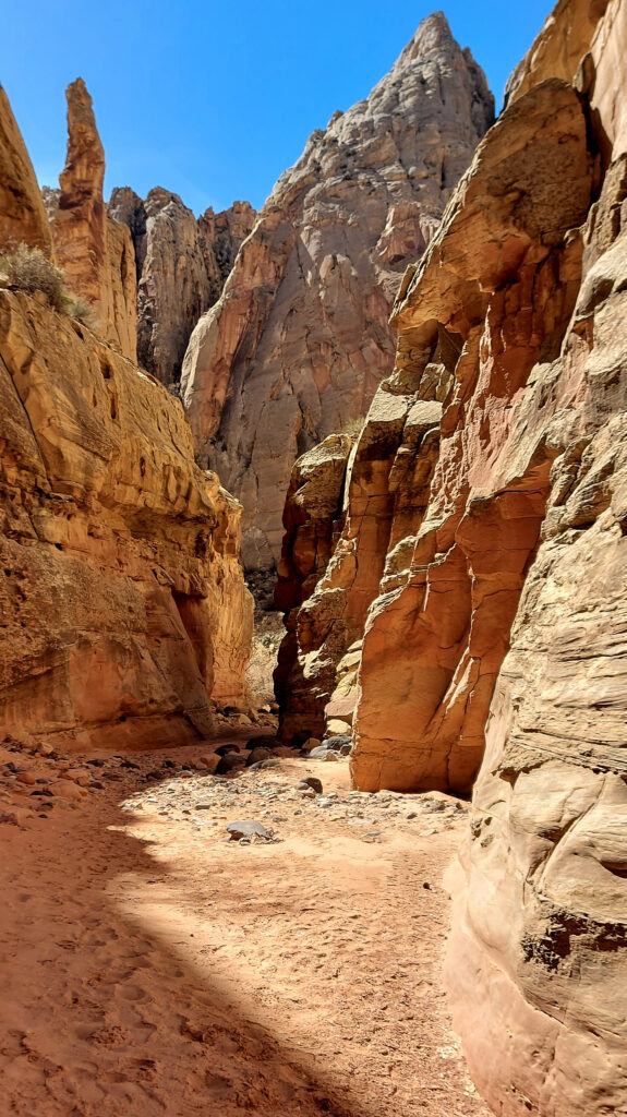
Grand Wash far below, driveable to the Cassidy Arch TH, then foot traffic only beyond that.
Spring Canyon’s long twisting hallways are seldom visited, but easily accessed from several sides.
The view from Chimney Rock back down towards Spring Canyon.

At the Chimney Rock TH my route crossed the highway, and the next section of the Capitol Reef adventure loop began, descending into Sulphur Creek. Sulphur Creek is carved by a cold water natural spring, deep into the eroding mudstone. After passing through the wide portion of the upper canyon, the creek bottom begins to narrow and takes on a more slot like appearance. As the canyon slots up, the options for travel become fewer, and one finds themselves splashing alongside the creek and scrambling on the cliff edges. All of a sudden I rounded a corner and came face to face with the swim, a 8-10ft wide, 50ft long chest deep pool. I undressed, packed all my gear into my drybag and waded into the chilly water. I cruised through and back into the sunshine, redressed and continued down the narrow fluted heart of Sulphur Creek Canyon. After climbing down the final small waterfall the canyon widens back out and terminates back at the Visitor Center.
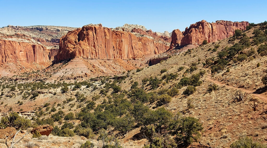
Entering the narrows of Sulphur Creek. The water starts out avoidable…for a bit.
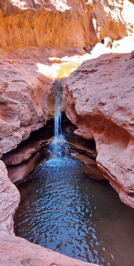
The final obstacle in Sulphur Creek, a short 4ft downclimb around this waterfall.

30mi and 7h later, I’d completed my ultramarathon loop of the Central Capitol Reef region. A fantastic mix of trail running, adventure, solitude and stunning scenery. With short car shuttles one could easily break the run into three distinct pieces. The Visitor Center to Grand Wash, Grand Wash through Spring Creek to Chimney Rock TH, and Chimney Rock TH through Sulphur Creek. Each section offers a unique, yet stunning view of Capitol Reef’s beauty; the lonely canyons, massive arches/bridges, sculpted walls, and intricate uplift of the reef formation.

After going for a little swim through the narrows of Sulphur Creek. The water is chest deep and chilly.

2022 Hardrock 100; Acceptance

The best crew and some of the best humans around.

Going into the 2022 Hardrock 100 I had grand aspirations and goals (which included a sub-30h finish). The quick answer is things went about as well as it could have, but not as well a I dreamed it would. I’ve always set big goals for myself, many of them born out of insufficiency and insecurities from past lives; You’re too slow, you’re not strong enough, you’re too short, too awkward, not smart enough…
Every person who steps foot on the line at Hardrock has dealt with their own challenges to get there and most likely still carries some of those challenges through the race and life in general. To claim we are all equal is a lie, we all are unique and none of us will ever have the same experience and that’s perfectly ok. Something I’ve struggled with for a long time is the idea that if I worked hard enough I could achieve some of the lofty aspirations, maybe not Killian level, but pretty high. 16 years after I started ultrarunning, I’m finally accepting that’s just not the case. To be clear, I’m not looking for a pity party, but rather through a recognition of my own weaknesses (and also my strengths), I can become the best version of that self and achieve whatever my personal limits may be.

Pre-race nervous shakeout and relaxation up at Hematite Lake with Jason.

Ok, back to Hardrock. Last year (2021) I went into the race determined to push hard and really find my potential, and a new level of success (time and place). What ended up happening was out running my capabilities early and suffering through the last 1/3 of the experience. 2022 brought a much different approach, listen to my body, be grateful for every experience (good and bad) and to enjoy a much as possible. In the past what’s done me in is running to others expectations, trying to keep up with others (not myself) and not fully listening to my body. The biggest challenge was admitting that my airways and lungs are my weak point and will always limit what I can do, especially at high altitude. This is not new (Nolans, past Hardrocks, 24h 14ers, Elks and others), but it’s been a hard thing to admit that it’s not something I can train past or “overcome”. I’ve found ways to cope and build other strengths; getting faster downhill, increasing overall fitness, running longer and slower, but none of these will ever remove this weak link of mine.

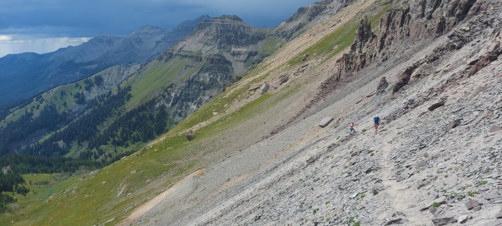
Cresting the Putnam Divide early in the race, mm10.
The infamous Island Lake near Grant Swamp Pass, always a worthwhile visit.

I slept terribly the week before the race (another temporary challenge) and work stresses had me a bit out of sorts, not the best way to start a super hard 100mi race. But I was promised to spend a long weekend running around some is the most beautiful mountains, with a crew of great friends, I was lucky indeed. The first climb went by smoothly, as I focused on just taking in as much of the experience as possible, soon finding myself in the familiar position of leap-frogging with Darcy. Maggie soon caught up to us not too much later and the three of us would spend the next 30miles leap frogging back and forth (them on the ups, me on the downs). Every time I rolled through an Aid Station the friendly faces would provide a boost, finally getting to see my crew in Telluride (mm28). The stoke was high, I was still feeling great and just doing my own thing. As we (Darcy, Maggie and I) left Telluride a big storm dropped in and pummeled us with rain and hail for 45min, but it was fine, we were below treeline and safe, just moist. The ominous skies still threatened as we approached Kroger’s Canteen. A couple of perogies, some coke and off down to Ouray I went. I was finding my own rhythm, playing to my strengths, listening to my body and just letting the miles roll by. Ouray was a wild circus full of energy. Tons of friends, spectators and confused tourist everywhere. For the first time at Hardrock I left an Aid Station without a pacer, focusing just on myself and the mountain experience I was seeking. Darkness fell as I led a group of us up and over Engineer Pass and down into Animas Forks. The aid station was a bit of a mess and I almost ran right by my crew without either of us realizing it. After a quick change into my nighttime gear, Jason and I were off to Handies, my white whale.

Nearing the summit of Virginius Pass, just after one thunderstorm had passed over, right before another one was about to hit.
Crew stop and refeul in Ouray before heading up to Engineer Pass.

As we headed up the Grouse saddle the work stress and lack of sleep were catching up with me and I’d spend the next 5h a walking zombie. My lungs strained in the cold air and I knew if I didn’t slow I was at risk of damaging the rest of my race, so upwards we crawled. After much bitching and moaning on my part (Jason was great) we made it to Burroughs AS where Jesus greeted us with open arms (no I want hallucinating yet). I kept trudging forward at what felt like a slow crawl, picked up Gwen at Sherman, then slowly staggered my sleepy way to sunrise at the pole creek divide. As the sun illuminated the surrounding mountains, my spirits began to lift. Gwen commented that she knew I was back when I made some very juvenile comment that only a 12yo would make, oops. So we ran (some) and walked (a bunch), enjoying what was a mostly lovely day. I probably groaned a bit when we hit the precipitous descent into Cunningham, but that meant only 1 AS left! I did my best to keep things fun at our last crew exchange, but I was just a wee bit tired, so who knows how well that came off. Bailee and I set off at a slow trudge up Dives/Little Giant, trying to keep my breathing in check (and not set off my asthma), but also wanting to get done. As we crested the top, I took one last look back at Green Mt and finally let myself believe I was going to get it done.

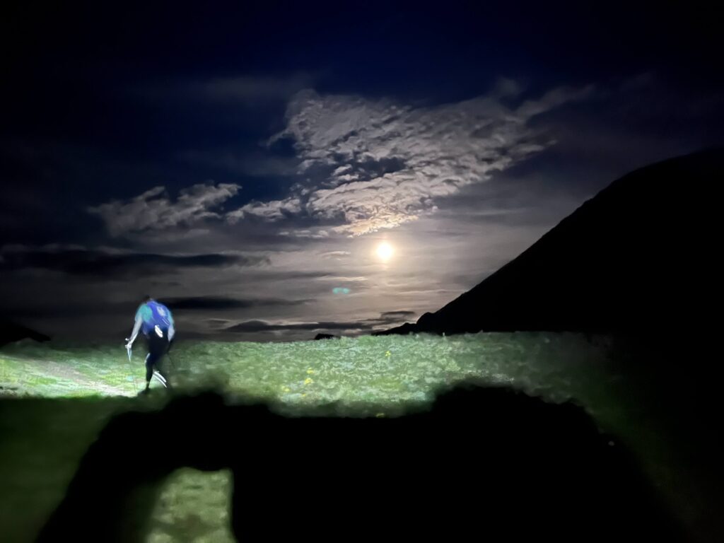
Full moon rising as Jason and I make our way over Handies Peak at 14000ft.
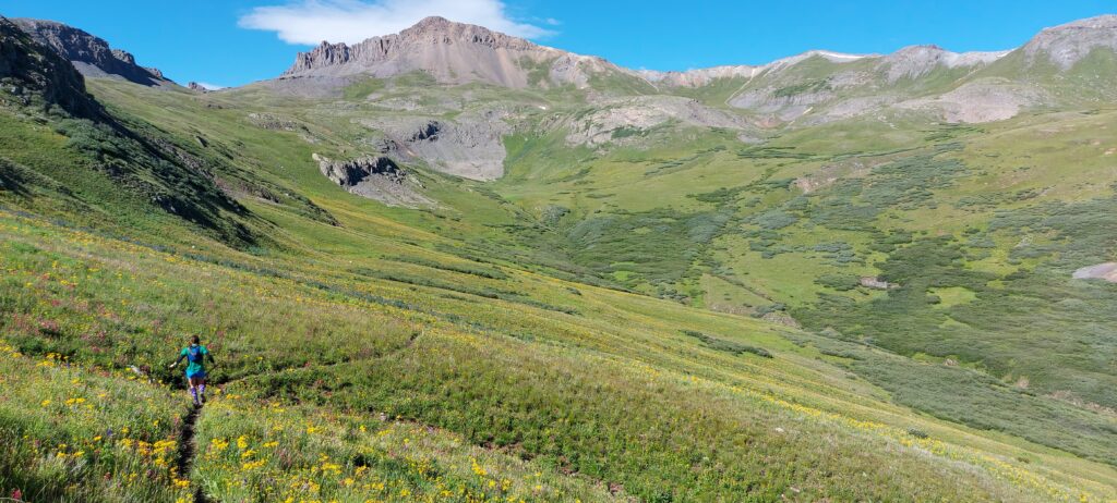
Down into Maggie we go, endless wildflowers all around and Day 2 sunshine.
Still kinda smiling and kinda having fun, final climb up and over Dives/Little Giant, almost done!

Whatever pain and fatigue I felt didn’t matter, all I had to do was will my way downhill to the finish. We ran as fast as I could down the technical descent, taking a few walk breaks to catch my breath. We stomped through the river and hit the final few miles into town, running into Jefferson along the way. I ran as hard as my lungs would allow, but with two miles to go I was sent into a coughing fit, diaphragm spasms and promptly threw up. This was the first time that’s ever happened during a race. Once I stopped coughing I felt fine, so we jogged it in. As we cruised through town we were greeted by many familiar faces, including my crew. It felt really good to kiss the rock for the 3rd time, but it felt even better to be in good spirits (despite puking) and to have enjoyed the experience (for the most part).

Finish line vibes.

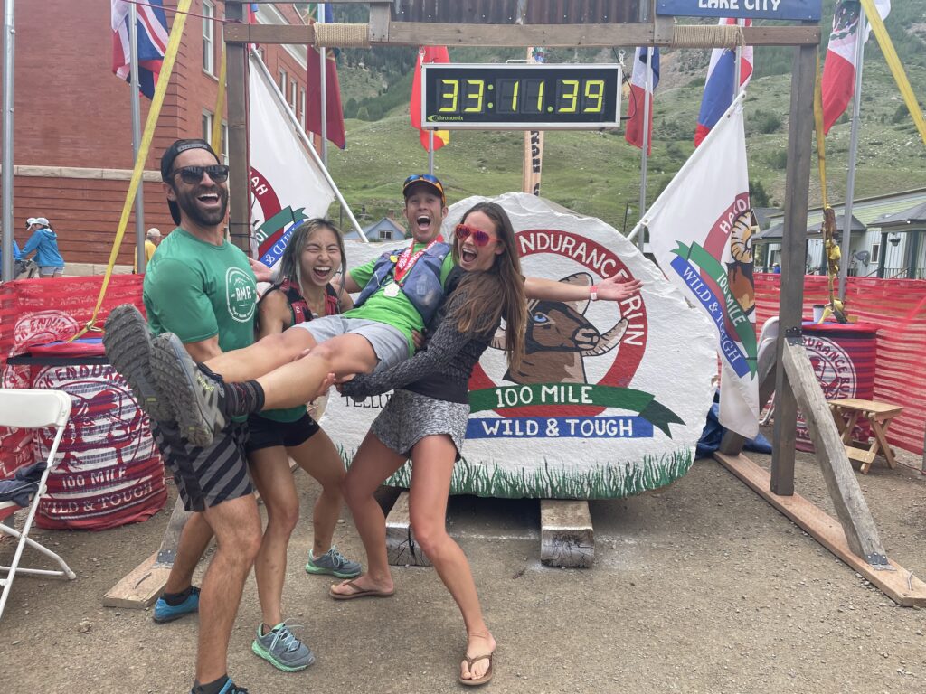
The rest of the day was spent on a quick nap, cheering on the multitude of friends finishing that afternoon/evening and eating all the food I could find (burrito, 2x burgers, cookies, soup, etc). My training had succeeded, my legs held up (my legs are never my limiting factor at elevation), and other than my 5h sleepy stretch so had my energy levels. I’ve learned that no matter how hard I train, at Hardrock I can’t outrun my lungs, so sub-30h may never be in the cards for me, and I’m ok with that. I had a great run with my good friends, and that is really what I wanted most out of the experience. Sure it would be awesome to run faster, but after 34:38, 33:52 and 33:10 finishes I’ve accepted this is who I am. On to other new adventures, different races and to enjoy crewing my friends at Hardrock in future years, where I get to eat all the food, take a few naps and not run 100miles of that crazy course all at once.
Big thanks to Vfuel for supporting my training and my Hardrock adventure, all the Rocky Mountain Runners for the training miles shared and my friends and crew for dragging my sometimes grumpy ass around the San Juans yet again.

Canyonlands Island in the Sky Ultra, 1/2/21

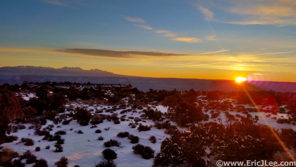
Sunrise from the Island in the Sky in Canyonlands, 1/2/21.

Better late than never? It’s been a whirlwind of a year and 8 months later I’m finally catching up on my early year projects. Winter motivation is often a hard thing to inspire, but the desert has definitely been my oasis in this department. Adler, Owen and I headed to Utah for New Years. After a couple of cold days in Central Utah exploring Capitol Reef (the next blog to come!) we made our way back to Moab for the next installment of the National Park Ultra series, Canyonlands Island in the Sky.

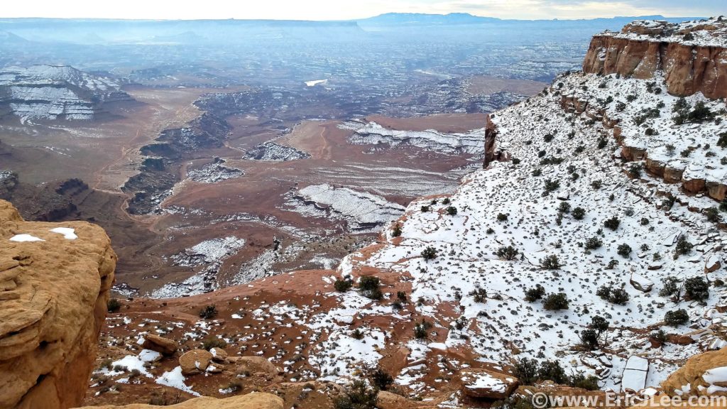
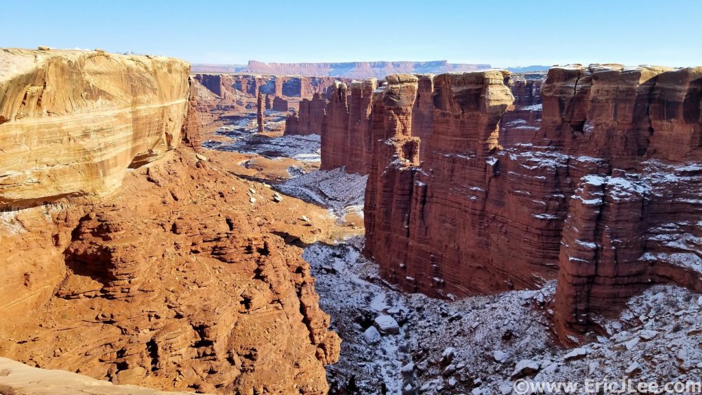
Canyonlands is divided into three distinct districts by the Colorado and Green Rivers; Island in the Sky to the North, Needles to the SE and The Maze to the SW. When I started my project to run an ultra in every National Park I decided that some parks just require more than one run, because one really can’t experience each unique landscape without dividing them up, and Canyonlands is a prime example. The Needles consists of a desertscape chopped up by giant rock fins and  slickrock canyons, The Maze is just that, a maze of narrow slots and deep chasms that carve up the landscape while The Island in the Sky consists of a high plateau guarded on all sides by imposing walls, dropping thousands of feet down to the rivers below. All three can seem impenetrable at first glance, but improbable breaks in the canyons allow one to move across the complex landscape.

Adler cruising around the White Rim Rd in Canyonlands, 1/2/21.

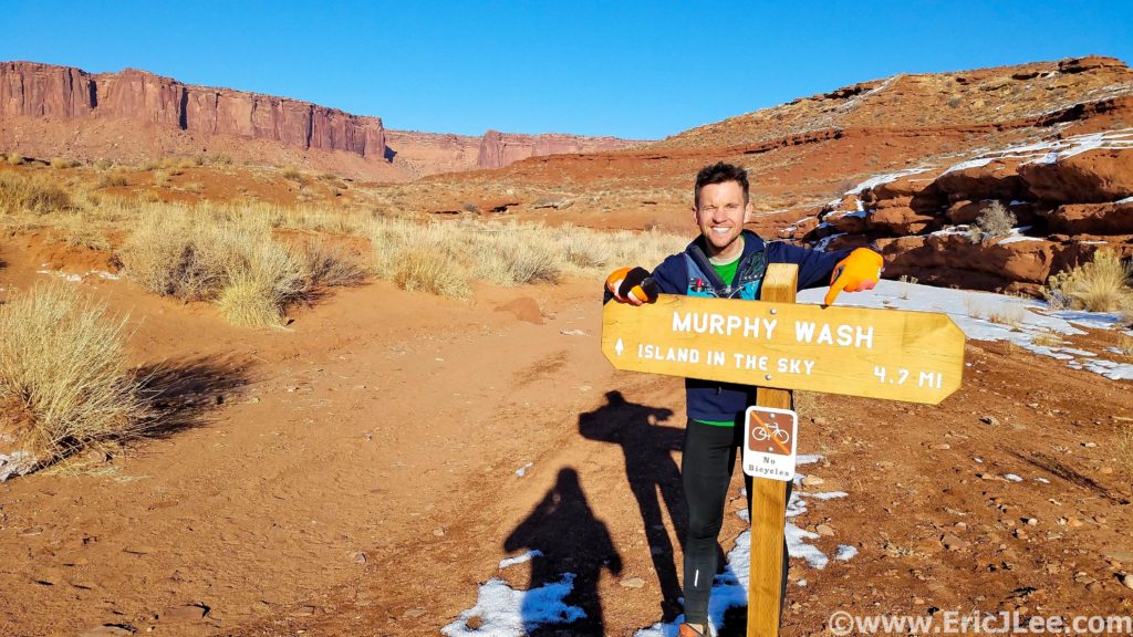
The most well known feature of the Island in the Sky district is the White Rim Road, this 71mile road follows the White Rim sandstone formation as it circles the Island in the Sky, 1500ft below the plateau and 1000ft above the Green and Colorado Rivers. I started my morning at the Murphy Hogback trailhead at sunrise jogging the paved road North as it traversed it’s way through the park. I passed the jam packed Mesa Arch TH and onward to the Lathrop TH where I met Adler and Owen (7mi in).

Descending down the Lathrop Trail into the depths of Canyonlands.

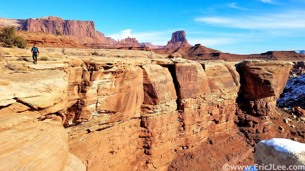
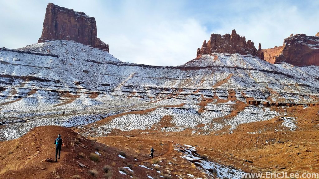
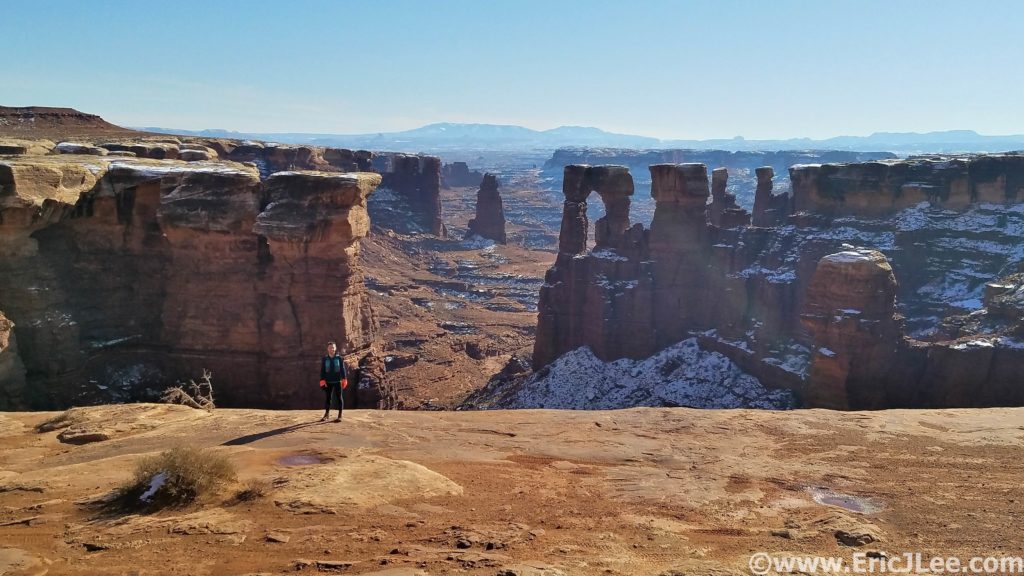
From there we began our descent down one of the improbable trails that switchbacked down the cliff bands into the depths of Canyonlands, 1500ft below. Across this ledge, down this seam, over this talus rock fall and finally down the rim of a small slot to the White Rim. The cool winter air was delightful to run in and we had this region of the park all to ourselves. We hit the White Rim Rd (mm13), bid Owen farewell (as he headed back up to the car), and took off CW on our journey. The White Rim is mostly very cruisy jeep road, trapped between the towering Chinle/Wingate/Navajo sandstone walls above and the Cedar Mesa sandstone below. When you run/ride/drive the road you truly get a sense of the immensity that is Canyonlands, and the isolation that one can find in it’s depths. We continued on the road past the Airport Tower, Washer Woman tower and several immense canyons to our left that dropped to the Colorado River, still miles away. At mm24 we intersected the Gooseberry trail, our only easy bail exit (ie trail) from the canyon. We were still feeling great so forged onward with the long looping traverse around Grand View Point at the head of the Island in the Sky.

A dusting of snow coats Canyonlands, Adler and Owen lead the way.
Monument Basin Canyonlands.

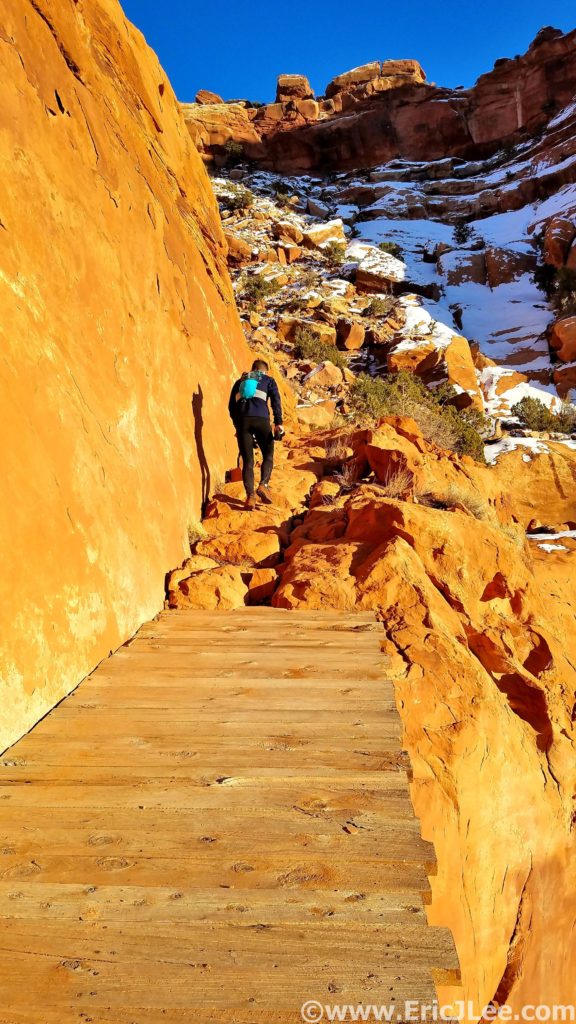
A few snack breaks, one floss break above Monument Basin and lots of photo-ops later we finally turned the corner and began to head back North towards Murphy Wash (mm35). The miles were starting to wear on both Adler and I, so we settled into a mixture of fast hiking and jogging, finally reaching our turn back up to the Rim. This run is what I describe as a ‘Pay Later’ run, as with only 5miles to go we had a long sandy wash and 1400ft to climb back to our finish line. The sand felt like cement to our tired legs, but when we finally reached the steep cliff-bands that marked our final ascent back to the rim the hiking actually felt really good after all the flat runnable miles. As we climbed our way up through the different layers of sandstone the views started to expand and the late afternoon light lit up the walls with a reddish/orange glow. We hit the top of the climb right as the sun started it’s descent below the horizon, what a way to end an amazing day in the canyons.

Looking down from the White Rim towards the Colorado River far far below.
25mi of White Rim Rd done, back up the Murphy Trail we go!

After a quick high five we booked it back to town to eat every single thing we could get our hands on (9h12min and 43.69mi of running makes one hungry!). On the surface the desert may not have the diversity or grandeur of the mountains, but look a little closer and she just might reveal her secrets to you. The Island in the Sky district is a wonderful example of the diversity of Canyonlands; juniper forest on the high plateau, massive sandstone cliffs, arid slicrkrock and two rivers that create an impassable oasis far below. So many sections of this park are nearly inaccessible to all but the most dedicated, and that’s what makes it so special, you earn what you get, and nothing is easily given up. Huge thanks to Adler and Owen for sharing this adventure with me, Vfuel for powering me through yet another 9h unsupported adventure and to being healthy enough to challenge the body in such spectacular ways. Strava Track.

Hiking the way up the Murphy Trail back to the top!
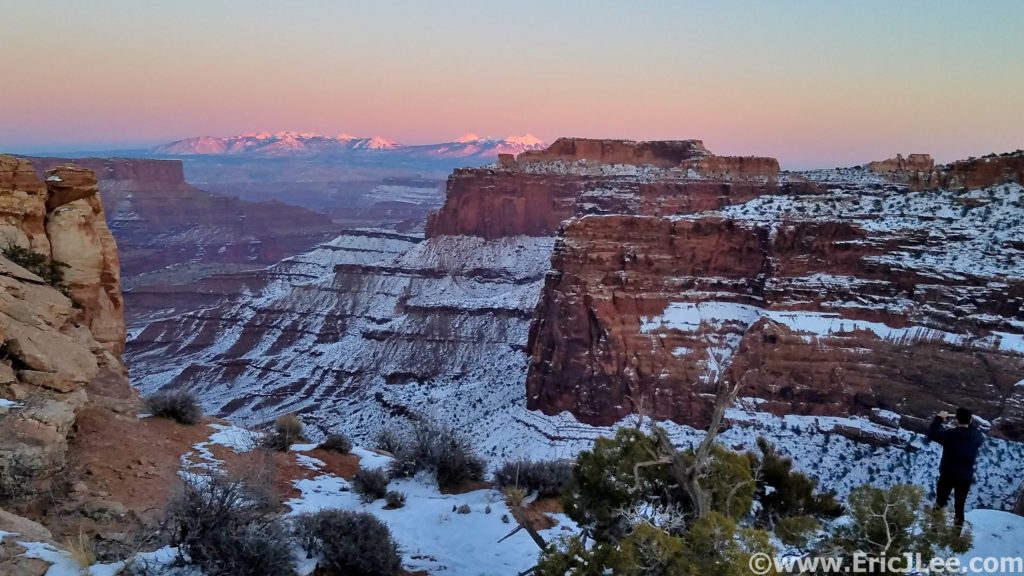
Sunset from Island in the Sky looking towards the Lasals. Winter in the desert is beautiful.

24hours of 14ers; Revisiting the Past

Seven years ago a crazy idea was hatched out of an online discussion on 14ers.com, how many 14,000ft peaks was it possible to climb in 24hours, and what would be the optimal linkup? I love 14ers, and I love logistical challenges, so I set out working some variations and timing, scouted a few lines and put some wheels in motion. I made my first go at the linkup in July 2013 as a training run leading up to UTMB, ultimately bowing out after tagging Sherman in 18h37min, for a total of 9 summits. At the time it was a good first effort, but I felt that I had a left a lot more potential out there and that 12 was feasible on a good day. Since 2013 several others have improved upon my original 9 summits, pushing the number to 11 summits in 22h, though still no one had crossed the 12 peak threshold.

Smokey views from the Mt Evans Rd, 9/18/20.

After a summer of running around the mountains, I was searching for a little inspiration, something to cap the summer and add a little extra motivation to the weird race-less Covid year it’s been. The opportunity presented itself, so I worked the schedules, lined up a driver and was set to go. Friday morning at 430a my friend Misti picked me up and we headed out for the Mt Evans Rd, the starting point for the journey. At 6:11am on 9/18/20 I clicked the watch and started jogging up the Rd to Mt Evans. It was cool and breezy, smoke hanging in the air from all the wildfires, but on I ran. I hit summit lake at 1:10 and busted up the NE slope to the summit (1:43). For some reason I thought I was behind schedule so I cranked my way across the Sawtooth, gasping as I scampered around the snow on Bierstadt, hitting the summit in 2:38. Even though it was a Friday it was a bit of a cluster, so I wasted no time and hammered down the trail, passing dozens upon dozens of onlookers, not even registering their comments or questions, reaching the Guanella Pass Rd, and eventually 11000ft at 3:25 (10min ahead of schedule).

Headed across the Sawtooth to Mt Bierstadt.
Finally a bit of downhill after dodging the crowds atop Mt Bierstadt.

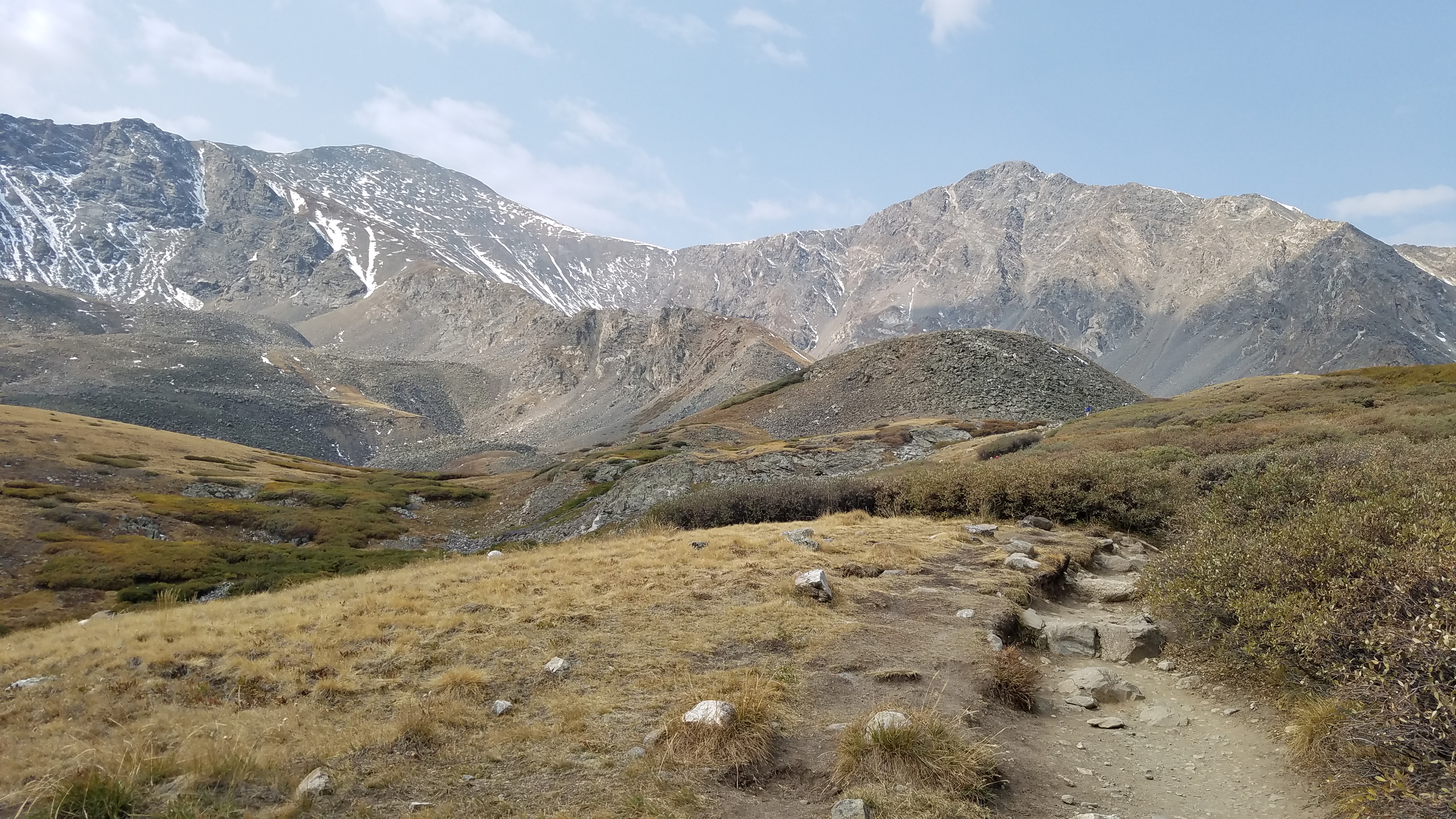
I jumped in the car, and Misti promptly took off for Stevens Gulch as I packed my water, food and gear for the next leg of the journey. The word of the day was ‘efficient’. We pulled up to the Stevens Gulch TH, I jumped out, poles in hand and headed straight onto the trail for Torreys Peak. I dug into the trail, and found a steady rhythm up and over Torreys (5:31) and over to Grays (5:55). Thankfully the trail wasn’t too busy and CFI has done some great work, allowing me to cruise at a quick pace back down to the car where Misti had a cup o’noodle waiting and off we bounced down the Stevens Gulch Rd, next stop Quandary!

Headed up Torreys and Grays Peak.

We had a good rhythm going, I’d stuff my pack with food, water and gear, eat something solid and do some recovery work on my legs while we drove. After a short nap we navigated our way onto the Blue Lakes Rd on the South side of Quandary Peak, where I again hopped out of the car at 11200ft, intent on making quick work out of the dirt road section. I soon crested the dam at Blue Lake, and struck off on the climbers trail headed for Cristo Couloir. My semi-secret shortcut and little known fact that it’s only 2mi from 11200ft to the summit of Quandary via Cristo (1mi gaining 2300ft!). I’ve always been good at digging my poles in and just grinding out slow vert, so that’s what I did. Reaching the summit of Quandary Peak at 9:06 (1:24 from the car) to cloudy cool skies with only one other person in site. I made quick work of the steep loose descent, getting back to the car in 37min (9:43)! Then began the frantic recovery and repacking effort before we hit the Kite Lake Rd, this would be the shortest turn around, and with a long loop of the DeCaLiBron to come.
Looking down Cristo Couloir on my way up Quandary.

Misti dropped me at 11100ft on the Kite Lake Rd at 10:07 (4:45pm) and I began the long slog up to Kite Lake and Mt Democrat. After 10hours I wasn’t feeling as spry but I just kept grinding away, for the first time starting to struggle a bit on the uphills, reaching the summit of Mt Democrat at 11:52 (1:45 from the car), slower than I’d hoped for, but still on pace overall. I made decent time over to Mt Lincoln (12:48), spurred on by a bitter cold wind that froze my fingertips. Soon after I crested Mt Bross as the evening light faded into blackness, I paused long enough to take in the fact that I’d had the entire DeCaLiBron to myself, a rare occurrence. The darkness made the rocky descent far tougher than I’d expected, and I rolled back to the car at 14:13. For the first time all day I was a bit beat up, and was looking forward to the long drive over to Missouri Gulch, a chance to rest and recharge before the long night ahead. I refueled and napped as Misti drove, and before I knew it we were bumping down the Winfield Rd, screeching to a halt because we’d flow right by the trailhead!

Cold and windy sunset run up Mt Lincoln, all by my lonesome.

After a quick double check of my gear and food stores I bid Misti farewell and set off into the darkness. I put on some music and just focused on strong and solid movement upwards. I was hitting my splits as I neared treeline, but I could feel the strain in my breathing. As I began to climb the endless switchbacks to Mt Belford I knew I was in for a challenging night. My lungs felt congested and I couldn’t seem to get a full breath, forcing me to take breaks far more often that I wanted just to catch my breath. The switchbacks seemed to drag on forever, made worse by the lingering snow and ice that further slowed progress. At this point I was feeling very demoralized, moving as fast as I could muster, reaching the summit of Belford in 2:31 from the trailhead (18:16). It was dark, cold and I was struggling mentally to stay motivated.

Final bit of light fading away on the Rocky Mountains.

I pushed on to Oxford, once again forced to dodge a bunch of awkward snow and ice blocking the trail, reaching Oxford in 0:47 (19:03), far slower than what I know I’m capable of. On the summit of Oxford I did some fuzzy math, realizing that at my current pace it was gonna be tough to break the current FKT of 11 summits in 22h. When I’d started up from the trailhead 11 summits seemed almost a certainty and 12 seemed very reasonable, but now I was struggling to fathom climbing 11 in the allotted time. As I descended back to Elkhead Pass I was able to talk myself out of the funk….you know these routes, there’s still time on the clock, so keep pushing forward until you run out of time, nothing is certain.

The grind up Missouri felt like death, but I pushed on as hard as I could. 13000ft…..13200ft….13500ft….. dodging a few more snow patches, and not happy to see that my scree shortcuts down the SW face of Missouri was blocked by drifted snow from the prior week’s storm, so I’d have to go around the long way. At last I crested the summit of Missouri Mt, summit #11 at 21:00, giving me an hour to traverse the ridge and drop 3000ft to Clohesy Lake, a task that felt nearly impossible at the moment, but still off I went.

The glory of sleep deprivation and the excitement of endurance events…nap time.

I pushed across Missouri’s NW ridge as fast as I could move in the dark, the whole things is a blur in my memory. I finally turned West and began to drop, astonished to find that the popularity of Nolans had hacked a real trail into the ridge (when I began scouting 13 years ago, no trail existed). This gave me a fighting chance, because descending 2800ft on a steep rough trail in 40min was definitely within the realm of possibility! I charged downhill as fast as my legs and lungs would allow, sliding out now and again, but losing elevation in a hurry. At last I dropped out of the upper basin and began descending to Clohesy Lake. The final mile of trail seemed to take forever, but as I neared 11200ft I turned my path straight down the tundra to the lake, collapsing on the edge of Clohesy Lake at 10991ft at 4:01am on 9/19/20, 21hours and 50min after starting my journey on the Mt Evans Rd the previous day. There had been so much doubt and uncertainty the previous 4hours that I’d actually make it to this point that I was relieved, excited, exhausted and beat to shit. The only thing left to do was trudge my way out of the mountains and back down to the Winfield Rd.

Since I don’t own a jeep this meant walking/yogging a slow 3mi back down the jeep road in the coldest part of the night. After wading through the river (twice) I walked up to Lana (my Rav4) and woke Misti to give her the good news… I’d done it, though barely. I’d set out the ultimate goal to climb 12 14ers in 24hours, and while I’d fallen short of that goal, I’d still managed to climb 11 summits and just squeeze in under the previous FKT by 10min, covering 22,300ft of gain and 48.7mi. It may not have been a perfect day; with all the physical struggles and the additional challenges added by the smoke and snow, but it had been one hell of a journey through the mountains. I’d over come the persevered despite the mental struggles and uncertainty, trusting in the process rather than giving in to the doubts. Though that 12th summit still lingers….Mt Huron, I’m coming for you.

Rocky Mountain National Park Skyline Traverse

We threw up our hoods, put our heads down and leaned into the wind as we left the Alpine Visitor Center. The wind ripped across the Continental Divide and we ran, partly to make good time, partly to stay warm. An already challenging route promised to be extra challenging on this day.

11hours in and I’d made it to the Narrows on Longs Peak!

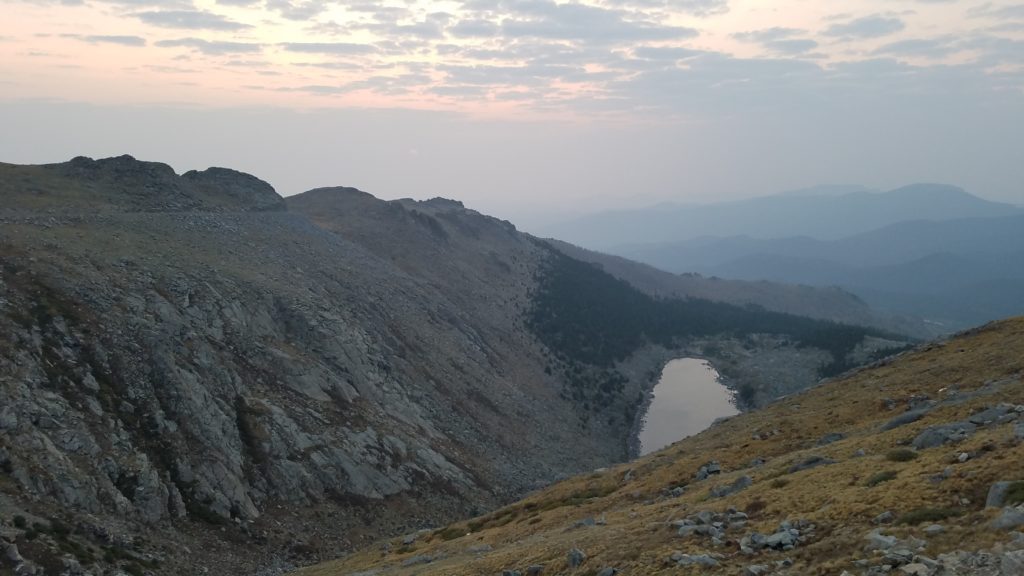
Twelve years after running my first National Park ultramarathon in the Grand Canyon I still hadn’t completed my Rocky Mountain National Park (RMNP) ultra, despite it being my home park. I’d spent a lot of time debating the best route, settling on a ridge traverse through the park’s interior. The difficulty of the route was that almost the entire route was above treeline, holding snow late into the summer and being exposed to thunderstorms for most of the summer. My friend Ben and I picked a nice clear crisp September day (9/22/19), the one factor we didn’t count on was the wind. As we traversed the Ute trail along the Continental Divide a bone chilling wind howled from the NW.

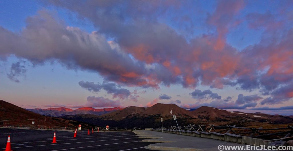
Sunrise from the Alpine Visitor Center with the Continental Divide stretched out in front of us.
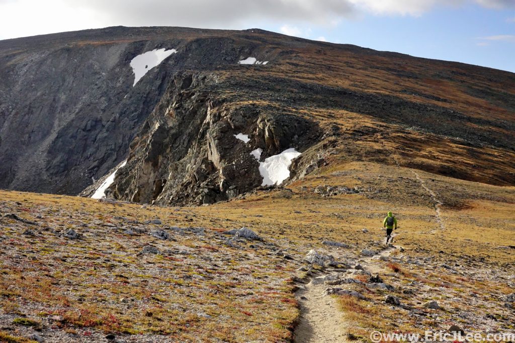
Following a section of the Ute trail early in the run. Most of the ridgeline was trailless.

We soon bailed off the trail and onto the ridge proper, where we’d stay for most of the day. As we made our way to Mt Ida, the first summit of the day, we had to duck onto the East side of the ridge to warm our hands and put on all our layers. The wind chill was brutal, and we could barely feel our hands and face. We trudged our way up and over Mt Ida to Chief Cheley (2:11, 7.3mi). Lake Azura and Highest lake were still crusted in ice and the views of the park were phenomenal. This section of the park is one of the most remote and seldom visited, miles from any trailhead and the nearest trail. We put our heads down and continued our trudge into the wind.

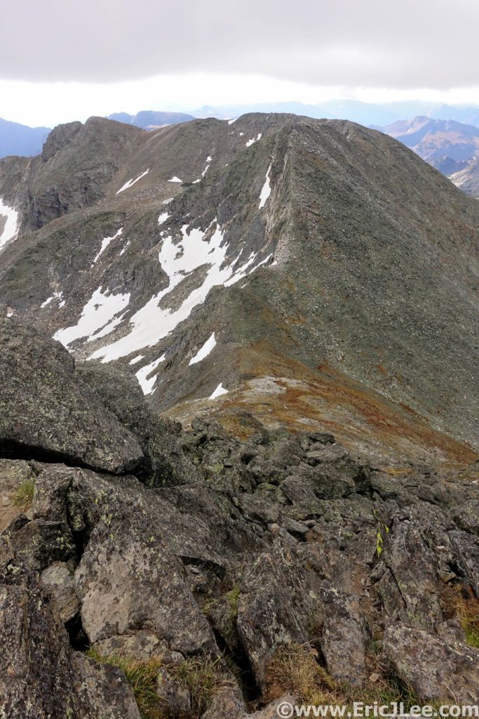
Proper Rocky Mountain ridge running near Mt Ida.
Highest Lake near the base of Chief Cheley, with Forest Canyon far below.
Tundra running near Sprague Mountain. Longs Peak still looks really far away (square top)

I tagged Sprague Mountain, Gabletop and Knobtop before finally reconnecting with the Flattop mountain trail (5:35, 15.6mi). Ben opted to bail off Flattop back to the car, as the wind was getting worse and there was uncertainty whether the route would go under the conditions. Solo, I crawled my way up Hallett and Otis, barely able to stand without being blown over. As I huddled in the wind block atop Otis peak, I debated my options….. Push on to the technical part of the route (the Class 5 McHenrys Notch), bail down the long East ridge of Otis Peak or return back the way I’d come to the Flattop mountain trail. Being over halfway across the traverse I opted to push on and try my luck.

Flattop Mountain with Hallet and Oatis in the background.
View from Taylor Peak towards Powell with Longs looming behind.

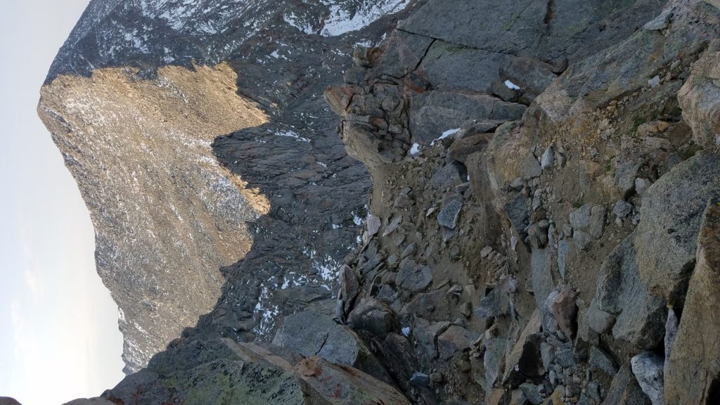
On the long slog up Taylor Peak (the first 13er of the day) my legs were starting to feel heavy, but the wind was actually lessening. From atop Taylor Peak (7:21, 19.1mi) I peered down on Skypond far below, and for the first time all day it looked as though the traverse would actually go! The traverse over to Powell Peak went slowly, but soon I found myself on the summit staring down the SE couloir, ready for the fun to begin. I descended a little over 200ft and located the grassy ledge system to skier’s left that would allow easy passage to McHenrys Notch. From McHenrys Notch the route is obvious, but far from easy. Directly across the Notch are two vertical Class 5 gulleys that lead to the NW ridge of McHenrys Peak.

Looking into McHenry’s Notch. The two gulleys in the middle are your class 5 options to reach the ridgeline above.

I scrambled my way up the lefthand ledge system to the broad ledge on the South side of the peak, and finished the easy traverse over to the summit of McHenrys Peak (8:39, 21.3mi). It felt great to have surmounted the crux, until I looked across Glacier Gorge at Longs Peak, oy vey, I still had a long way to go. I picked my way down through the talus field to Stoneman Pass (not the low point, but the first notch) and descended into Glacier Gorge. This would be the only time I descended into the valley. Glacier Gorge (especially the upper section) is an absolutely magical gem and one of the most iconic hiking destinations in all of Rocky Mountain National Park. Sheer granite faces surround one on all sides, Arrowhead and Spearhead jut abruptly out of the middle of the valley and numerous alpine lakes have carved out depressions amongst the barren white landscape.

Looking across Glacier Gorge from Stoneman Pass. The Trough is the obvious gulley that ascends just right of the Longs Peak summit block.
Frozen Lake tucked in the shadows of Chief’s Head Peak.

I refilled my water in one of the side streams, crossed over the head of Frozen Lake and made my way to the base of the Trough, a 2500ft gulley that swoops its way from Glacier Gorge up to the West face of Longs Peak. I felt like death as I crawled my way up through the talus and slabs just climbers right of the gulley. Time seemed to be passing in slow motion, 100 vertical feet at a time. At last I pulled myself through the windy notch at the top of the Trough and out onto the Narrows. For as many times as I’ve climbed Longs (30?), this was the first time I’d been on the Keyhole route in non-winter conditions alone. I pulled myself up the Homestretch and onto the summit block (11:16, 24.4mi), collapsing with exhaustion, but also with a smile on my face. It was 6:15pm, I was the only person on the summit, the wind had stopped, and long shadows draped themselves across the park.

Feeling like death as I slog my way up the Trough towards Longs.
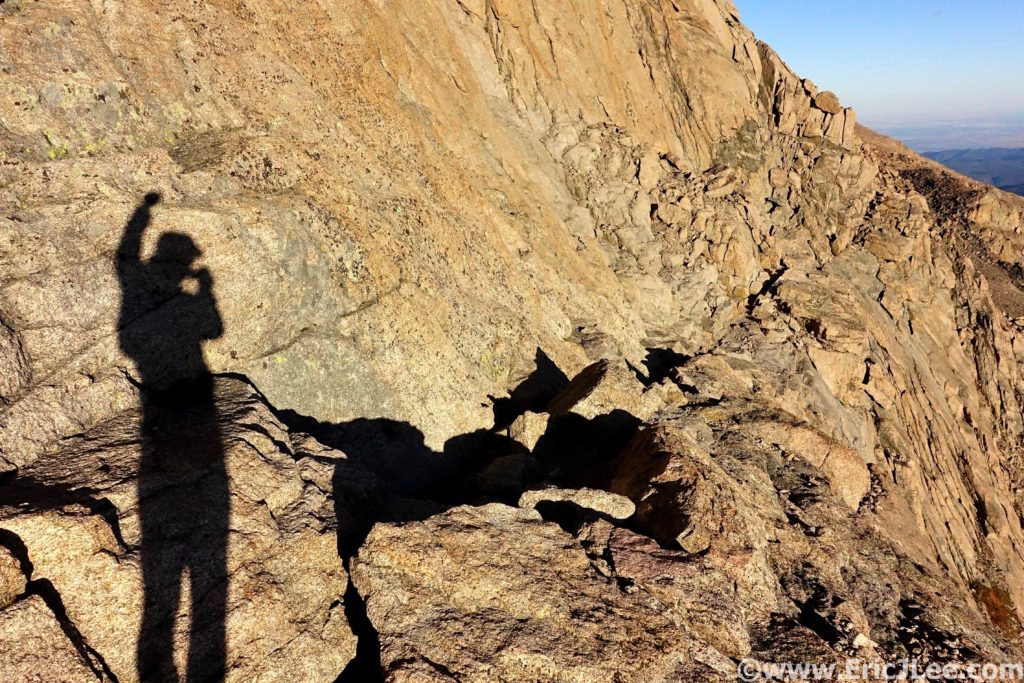
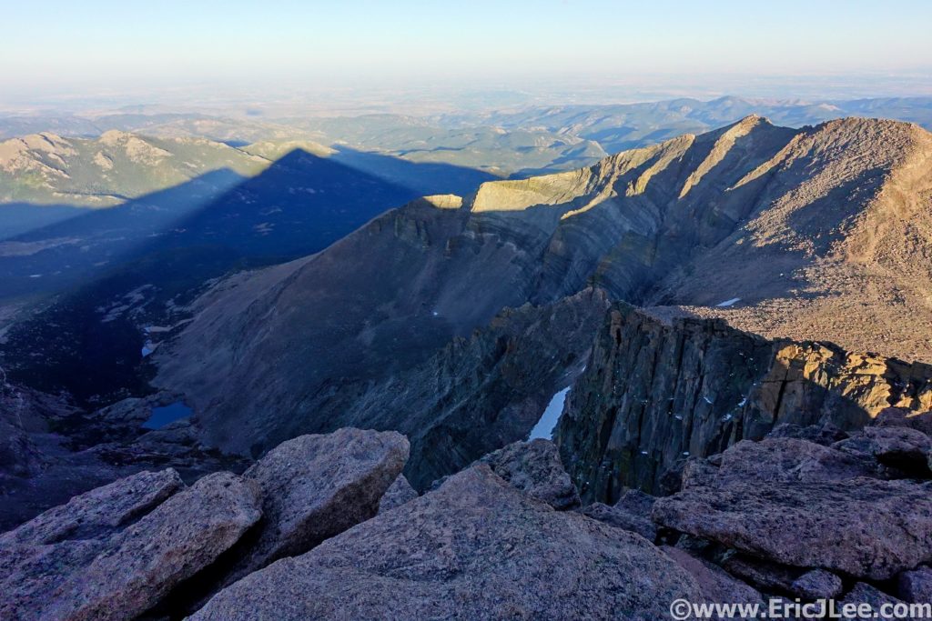
The shadows of Longs Peak stretching East into the foothills.

After taking a few long breaths in, I knew I had to get moving, sunset was only an hour away, and I wanted to be below the Loft before it got dark, so back down I went, dropping down Keplinger’s couloir, ascending up past Clark’s Arrow and into the Loft between Longs Peak and Mt Meeker. I summitted Mt Meeker just as the final rays of warm sunlight disappeared over the shoulder of Pagoda Peak (12:04, 25.6mi), bathing the talus in a soft orange glow. I took off at a fairly rapid pace down through the talus, in search of the climbers ledge that would lead below the cliffs. As the light began to fade, I started to panic a little bit as I hadn’t reached the climbers trail yet, but luckily, as the last bit of daylight turned to darkness I spotted the trail just below me. Once on the ledge I knew I would be able to navigate myself back down to trail, and in the end the Longs Peak Trailhead.

The Pallisades guarding easy entry to the Loft, down and around I go.
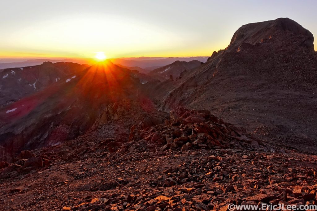
Sun flare over the shoulder of Pagoda Peak with the Longs Peak summit block on the right. What a day.

Progress was slow as I picked my way down the Class 3 slabs and into the talus below. Once I reached the trail in Chasm meadow I was finally able to jog again….it had been over 13miles since I’d last been on trail, so being able to slowly jog felt wonderful. Tired, beat down and totally satisfied I took my time jogging down the Longs Peak trail back to the trailhead. At 8:45pm, 13:46 after leaving the Alpine Visitor center early that morning I stumbled my way onto the pavement, sat on the bench and hung my head in exhaustion. I had only covered 30.6mi and 12000ft of vertical gain, but it had taken 13h46min and I was worked.

At first glance Rocky Mountain National Park may look just like the rest of the Colorado Rockies, but for those with the time and energy to delve a little deeper into it’s depths, the rewards are some of the most stunning scenery anywhere. From the 2000ft high Diamond of Longs Peak to the glacial carved valleys of Glacier Gorge, Sky Pond and Dream Lake to the deep forests teaming with wildlife of the North Boundary; RMNP has it all. I chose my route because it showcased some of the most remote sections of the park, the high alpine terrain, the crystal blue lakes, the glacial carved valleys and of course Longs Peak in all her majesty. There are countless number of adventures within the park, but for me this route offered a taste of all the best. For those looking for something less committing I highly recommend the hike to Glacier Gorge and Mills Lake, Dream Lake and Emerald Lake and for those with summit fever and some scrambling skills Longs Peak.

This route, being a point to point was not possible without the help of a couple of good friends. So a special thanks to Michael Hodges from McGregor Mtn Lodge for helping with the car shuttle and to my friend Ben for the company on the first half of the loop and for waiting patiently at the end for me to slog my way home. And as always a special thanks to Vfuel for keeping me trudging along through such crazy adventures. My RMNP traverse was National Park Ultra #20, and I completed #21 only 3 weeks later in the Great Smokey Mountains. Even after all the time, suffering and misery I can say I’m super excited to see where this project continues to take me.

Mt Rainier NP; Great Northern Loop Ultra Run

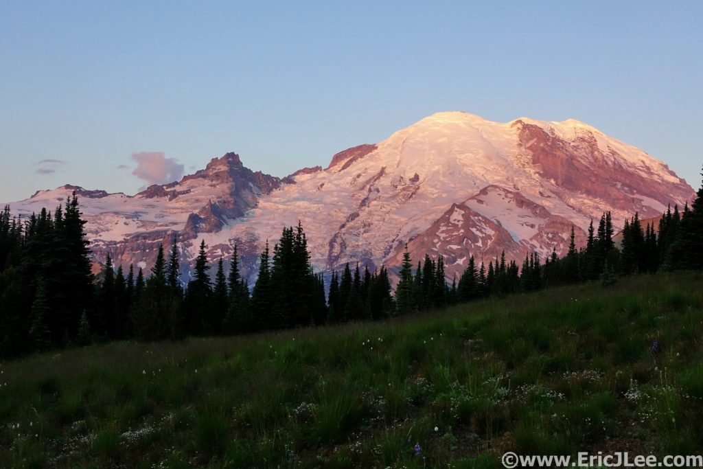
Wow…I just….wtf???? The scene in front of us was beyond words and comprehension, the glaciated massif of Mt Rainier glowed in the early morning light, fields of wildflowers surrounded us on all sides, and not a soul was in sight, this is what we had come for.

Running across the Sourdough Ridge Trail at sunrise, what a start to an epic run.

Mt Rainier National Park was created in 1899, America’s 5th National Park, to protect the glaciers, alpine meadows, roaring waterways and lush forests of the mountain known to the natives at Tahoma (or Tacoma). The last time I had visited Mt Rainier National Park had been in 2004, and on that trip I’d barely scratched the surface of what the park has to offer. This trip was to be a bit different, a whirlwind tour of the North side of the peak, somewhere in the range of 50miles on already tired legs, game on. I’d convinced my friend Ely Gerbin to join me for this epic adventure of stupidity, and what a day we were in for.

Mt Rainier as seen from the aptly named Sunrise parking lot.

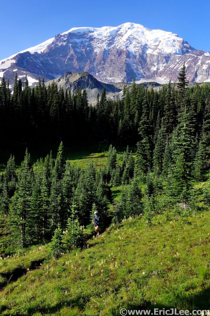
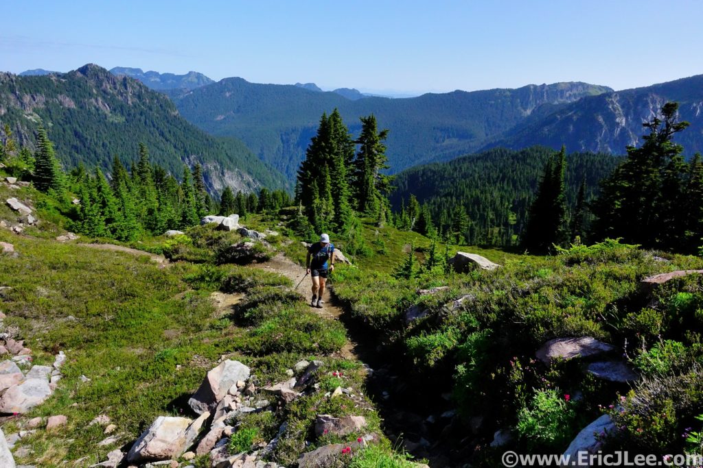
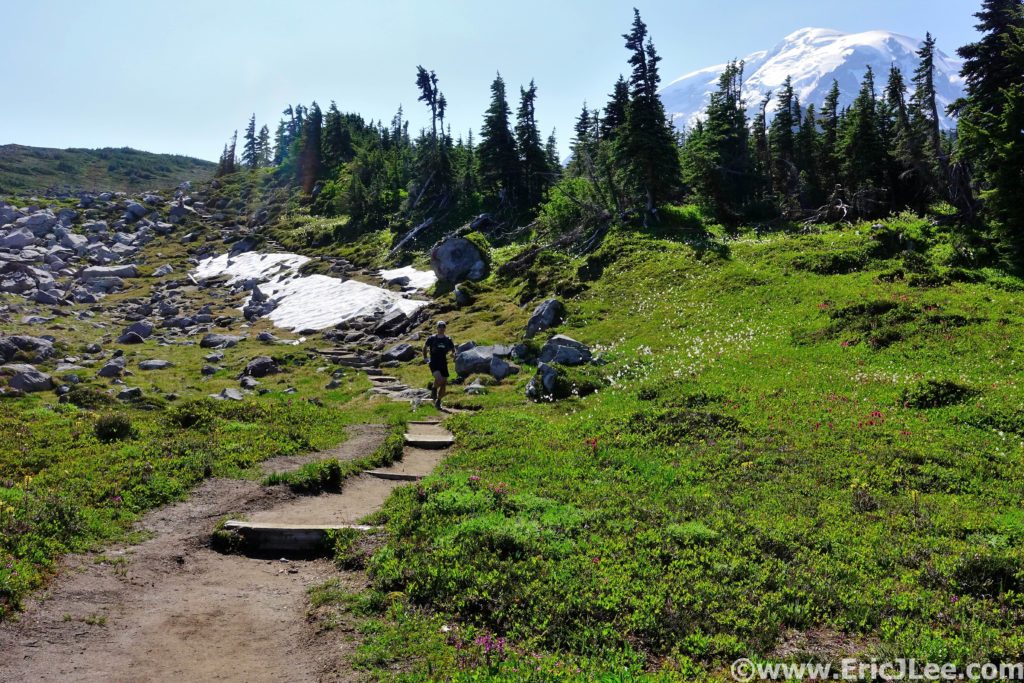
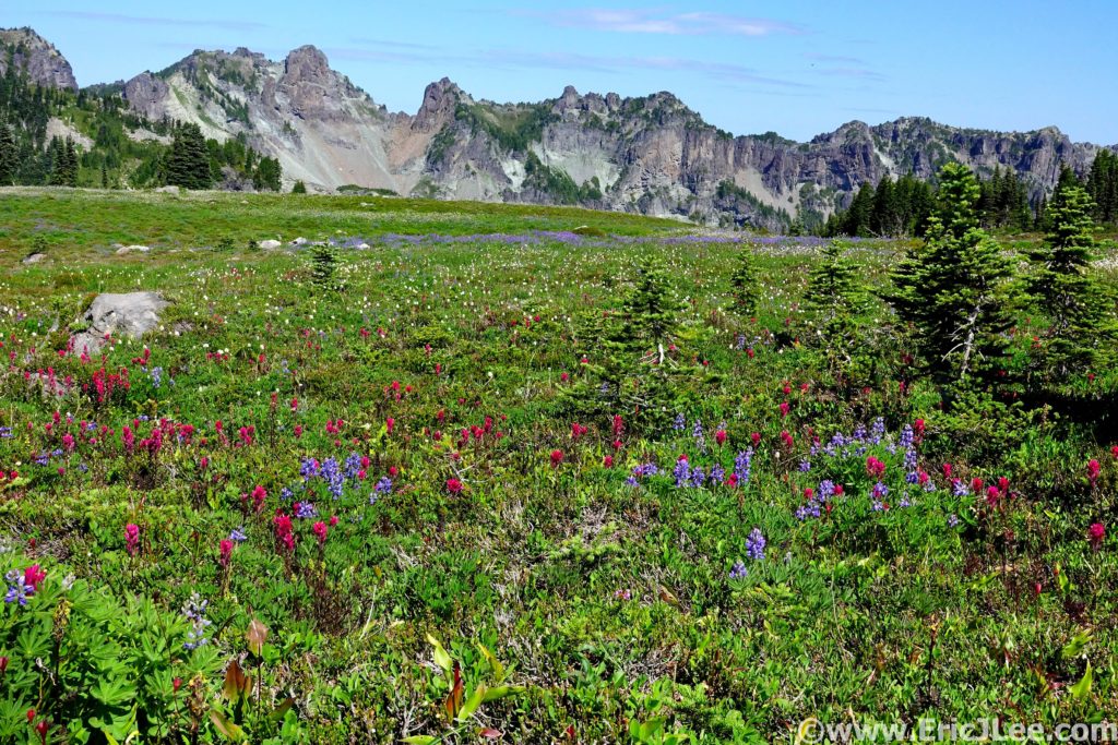
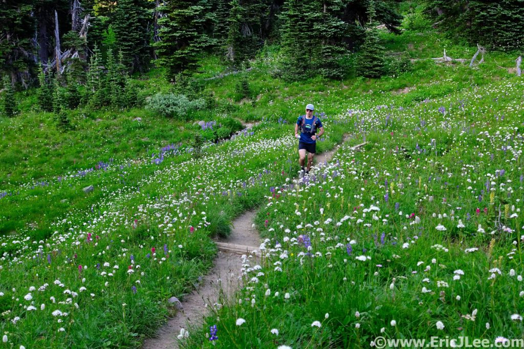
We left the Sunrise parking lot at the crack of dawn, just as the pink alpenglow lit up the hulking massive in front of us. As we jogged our way across the Sourdough Ridge trail the views were nothing short of spectacular, and we were only a mile in! Our route consisted of combining two loops; the Northern Loop with the Spray Park Loop. We opted to start by traversing the Southern portion of the loop first along the Wonderland trail, finishing with the Northern section along the Northern trail. As we rolled along the Wonderland trail through fields filled with wildflowers, the mountain loomed above in the sunlight. The trails were buttery smooth, the morning air was cool and the views were ever changing and stunning. Past the toe of the Winthrop Glacier, the clear reflection of Mystic Lake and on to the bridge over the Carbon River and the looming Carbon Glacier (mm13.4, 3:05). As we started the long climb up from the Carbon River the sun began to bake and the flowers were again popping. The creeks in Spray Park were our own private oasis, and we filled our bottles, drank our fill and dunked out heads (mm17.3, 4:37). Even during our brief stop the mosquitoes swarmed, so we couldn’t stop to smell the flowers for too long.

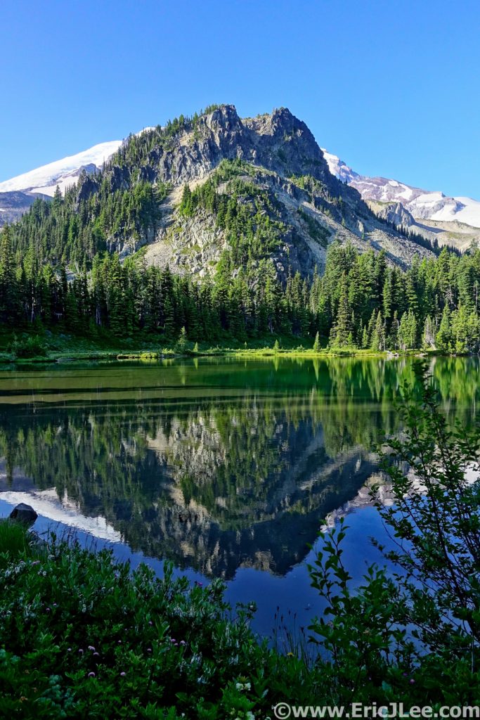
Reflection in Mystic Lake along the Wonderland Trail.
Ely running through fields of flowers with Mt Rainier looming behind us.
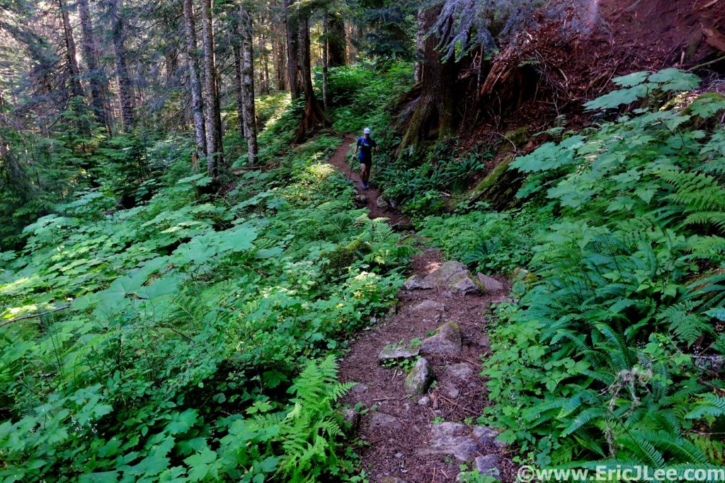
Ely cruising up the single track above the Carbon River.

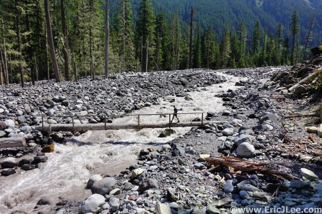
The views were spectacular as we rolled through the high alpine meadows, then began the slow descent back into the forest and Mowich Lake. Ely and I rolled past the masses at Mowich Lake (mm22, 5:50) and onward to Ipsut Pass (mm23.2, 6:06), the halfway point of our big loop. From the top of Ipsut Pass we stared straight down 2500ft to the Carbon River far below, time to get those quads working. We cruised down down down, through lush green forest, along cascading creeks and past towering evergreens, finally crossing the raging glacial grey Carbon River (mm28.7, 7:21). We took a few minutes to refill our water and to cool off in a small tributary before the long climb up to Windy Gap.

Trudging our way up into Spray Park, the flowers were poppin.
More fields of alpine flowers, all is good.
The alpine gardens of Mt Rainier NP, totally worth it.
Looking down from Ipsut Pass toward the Carbon River.
Ely taking pausing for a moment of serene splendor.

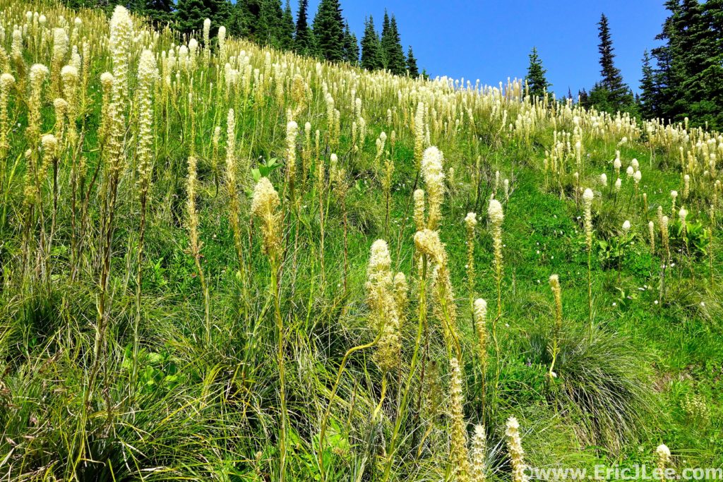
We plodded on up through the trees on what seemed like endless switchbacks, finally breaking out into alpine terrain near the Yellowstone Cliffs into a massive field of bear grass. It was a spectacular site, cruising through the green meadow dotted with white puff balls as far as the eye could see. We continued our trudge up to Windy Gap (mm33, 9:11) and down the other side on some beautiful single track to Lake James. After a little off trail wandering we hit the long and steep switchback descent back to the West Fork of the White River (mm36.7, 10:17). After another water refill we started our final climb of the day up the Northern Loop Trail. The long miles of the weekend hit me like a sledgehammer, and the death march was on. Ely was very patient with me as I slowly trudged up the trail, deep in the pain cave, but the scenery was too spectacular to be too grumpy (but maybe a little).

Ely crossing the Carbon River on the inbound part of our journey.
Ahhhhh, fields of Bear Grass!!!!
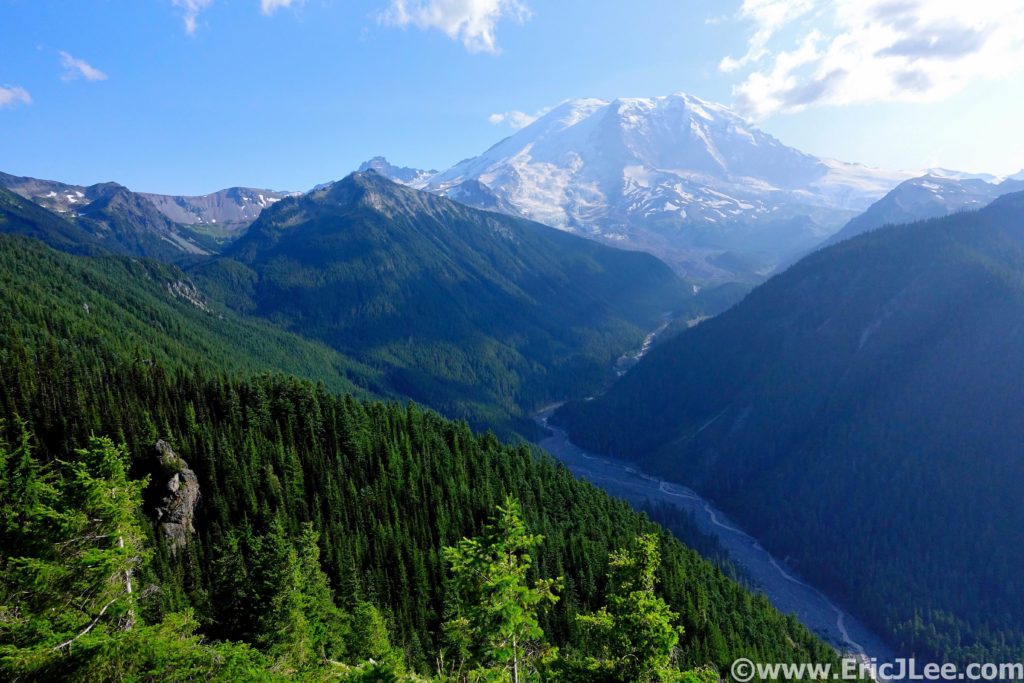
View of Mt Rainier from the final climb up above the West Fork of the White River. My grumpiness faded away pretty quickly.

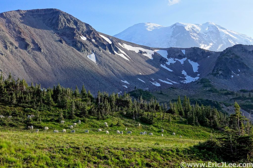
After what seemed like an eternity, we crested the climb to a spectacular view point of Mt Rainier looming high above the White River (mm39.8, 11:32), glowing in the afternoon light….a perfect moment to remind me of why I was enduring all the fatigue, all the suffering, all the soreness in my legs. I finally gained a little of my strength back as we rolled through the flat open plateau and down to Lodi creek. One last final little climb would take us back to Sunrise, and while it seemed to drag on, ambling along the creek through fields of wildflowers was a pretty spectacular way to end the day. As we neared Frozen Lake I was very ready to be done, and just at that moment Ely and I rounded a corner to a herd of mountain goats lazily grazing with the looming mass of Mt Rainier as the backdrop. The day wasn’t over, and the constant reminders of how spectacular the mountain and it’s surrounding environment was kept slapping us in the face. The final traverse back across the Sourdough Ridge trail was a fitting finish to an unbelievable day. Spectacular views and amazing trails start to finish, we’d been thoroughly brutalized (me more so than Ely) and had come out the other side, beaten but with our souls fully filled with an amazing appreciation for all that Mt Rainier National Park has to offer.

The amazing just didn’t stop, running our way up Lodi Creek to the finish of the loop.
Yeah that happened. A herd of mountain goats casually grazing along the Wonderland Trail in the shadow of Mt Rainier.

In the end our route totaled 46.5mi and 13,500ft, taking us a little over 13:30 (because of my slow death march finish). Without a doubt, my first real adventure in Mt Rainier National Park was a resounding success, and the route had been more than I’d ever have hoped for. For anyone who hasn’t had the pleasure of experiencing Mt Rainier National Park either half of our super loop would be spectacular, or any portion of the Wonderland Trail well worth the effort. I’m incredibly grateful for experiences like this, and for the fact that places like this have been protected for me to enjoy, hopefully for many years to come. Run fast, run healthy, but most importantly run happy.

North Cascades NP; Copper Ridge Loop

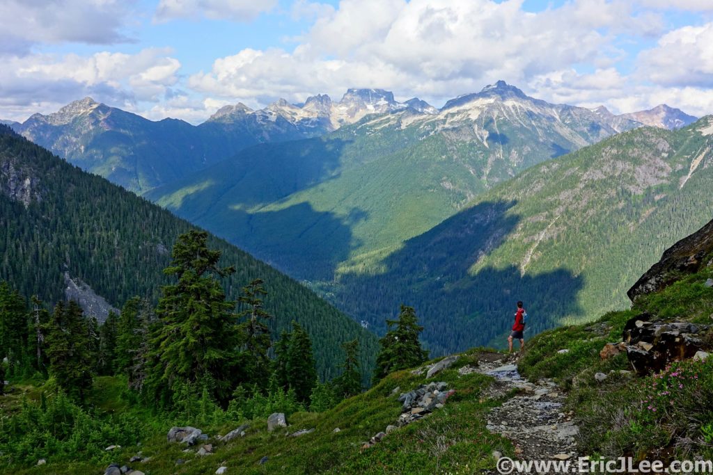
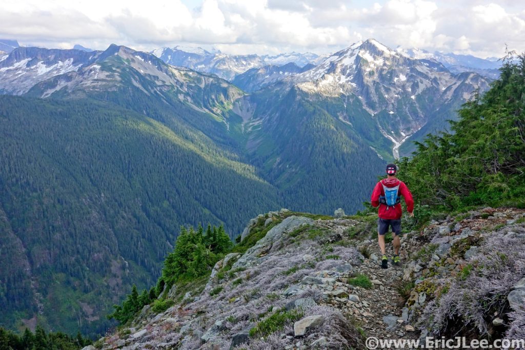
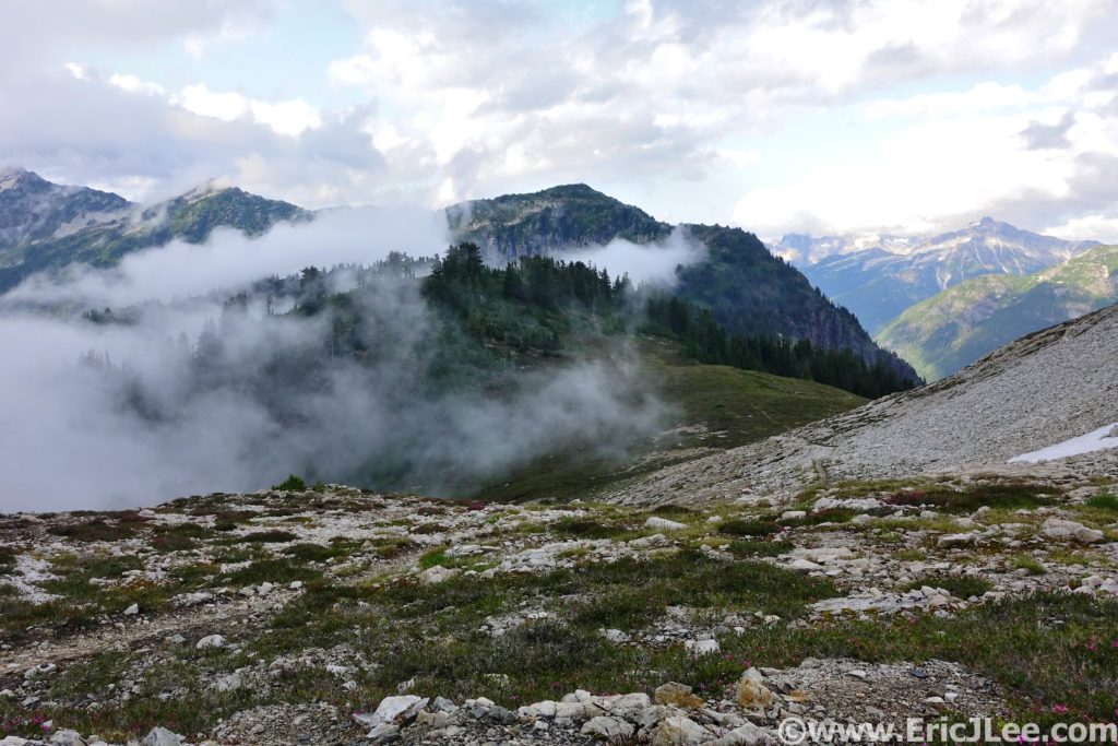
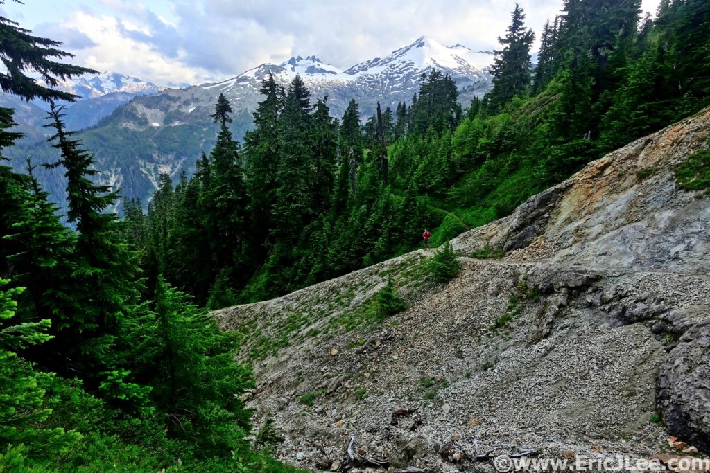
One of the many amazing views along the Copper Ridge Loop.

The North Cascades are a massive wilderness full of jagged peaks, alpine lakes, towering glaciers and some of the last true wilderness in the lower 48 states. The National Park portion of the North Cascades Complex (which also includes Lake Ross and Lake Chelan National Recreation areas) encompasses a 500,000 acre nearly roadless wilderness. One that can not be experienced from roadways and lookouts, but must be explored on foot (or boat). It seemed only natural to ultra run the park, but the question is what set of trails best represented everything that makes the North Cascades amazing?

After doing some of my own homework and asking several locals with more knowledge than I, one recommendation kept hitting the top of the list…the Copper Ridge Loop. Well, if everyone (even locals) think it’s that amazing, it must be the proper North Cascades experience? So planning was set in motion for an epic weekend in the Washington mountains (also see Mt Rainier Northern Loop). The first weekend in August (8/2/2019) I flew into SeaTac (2h delays), met my friend Jason and we started our drive North towards the Mt Baker Highway and the Nooksack River. After crashing in a rest stop for several hours, we awoke the next morning to light rain, but a forecast that promised clearing skies, so off we went for the trailhead. Jason and I spent the entire drive catching up, as he is still to this day one of the people with whom I’ve logged the most trail time (cumulative in the months!). He was very nervous though, as this was to be his longest run (by almost double) since badly breaking his leg several years ago, but he welcomed the challenged.

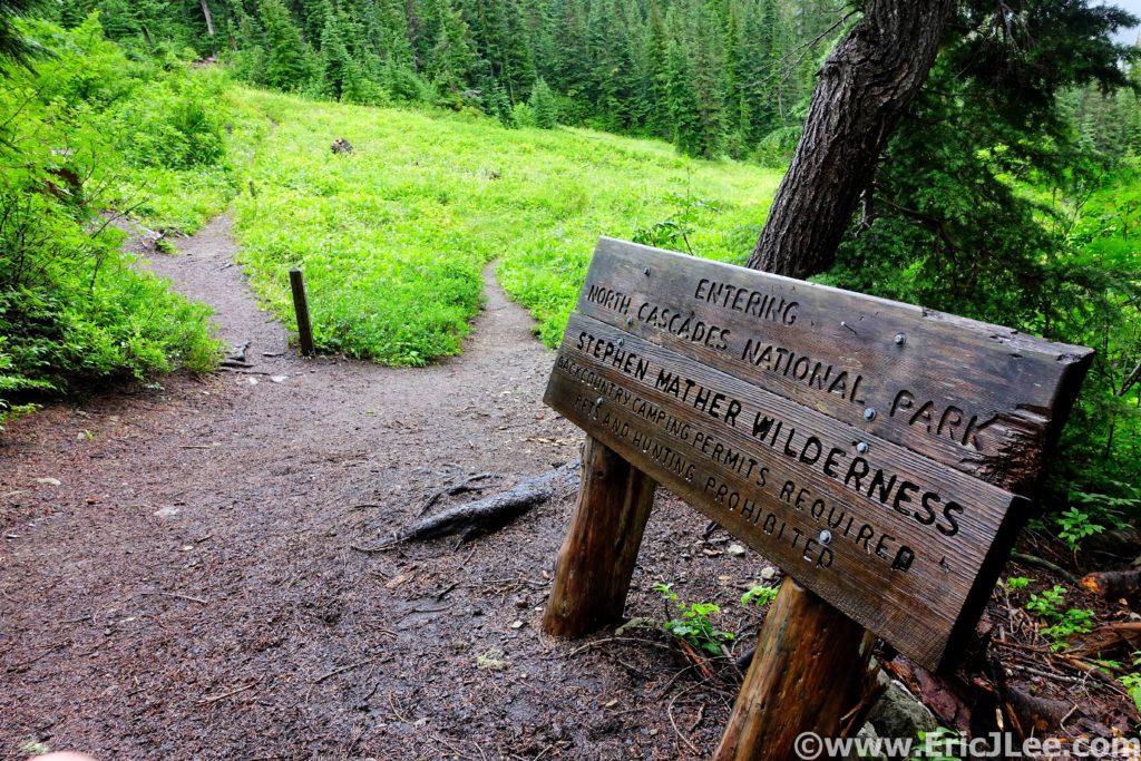
Officially entering North Cascades National Park.

When we rolled into the Hannegan Pass trailhead we were greeted by a road closed sign, marking a huge washout that had undermined the last 200ft of the road. So we parked and packed up our gear, in no rush as the drizzle continued to fall. We cruised out of the trailhead at 9:30am, slowly jogging our way up through the forest towards Hannegan Pass. The low clouds and light drizzled continued to swirl around us, but every once and a while we’d get a glimpse of the mountains looming overhead. From the pass (4.3mi) we opted to do the loop CCW, dropping down to the Chilliwack River first, before climbing to the ridge on the return. As we descended to the river we passed through sections of overgrown trail and sections of open forest, and soon we were soaked from the rain drenched leaves.

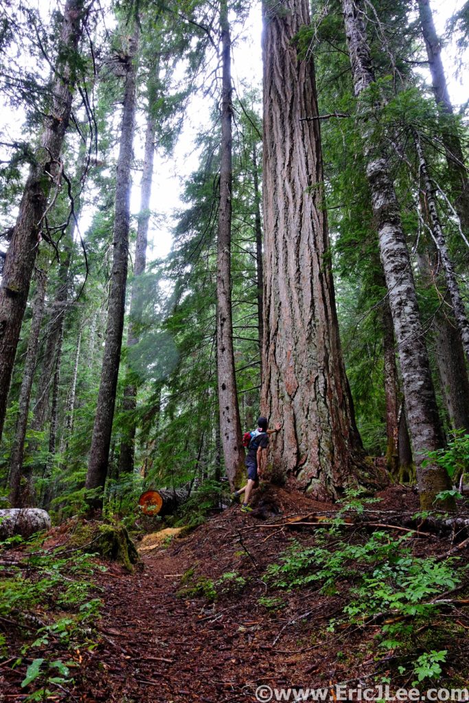
Jason getting in touch with his inner tree hugger. Colorado just doesn’t have big trees like this <3
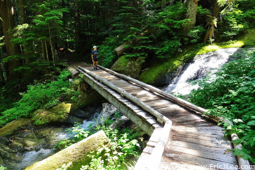
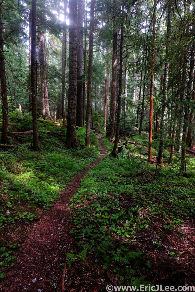
Buttery smooth forest single track in the North Cascades is so serene.

The weather was starting to clear, and we could see glimpses of blue sky overhead, we’d momentarily dry out, just to be drenched by another set of wet dense brush. The river trail was mostly smooth running (where we could see our feet) and we soon found ourselves at the first Chilliwack river crossing, the cable car (11mi)!! But I was a bit dismayed to discover the cable car was down for repairs, so we’d be fording the river instead, sad face. So Jason and I linked arms, and slowly shuffled our way across the knee deep rapidly flowing stream, thankfully making it across without incident. We continued our hike/jog on the undulating descent to the second ford (16.2mi), thankfully the water here was far more docile, making for an easy crossing. This was our first moment of full sun all day, so we basked in the warm glow along the rocky shore for a few minutes, treating water and savoring the moment.

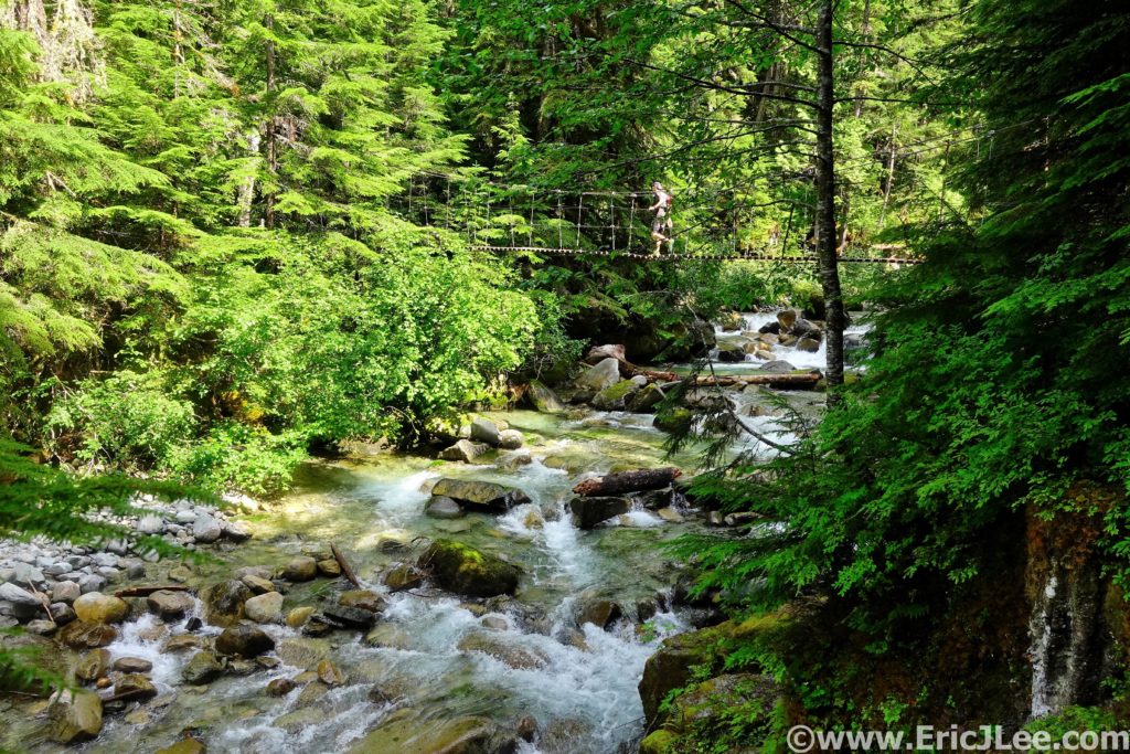
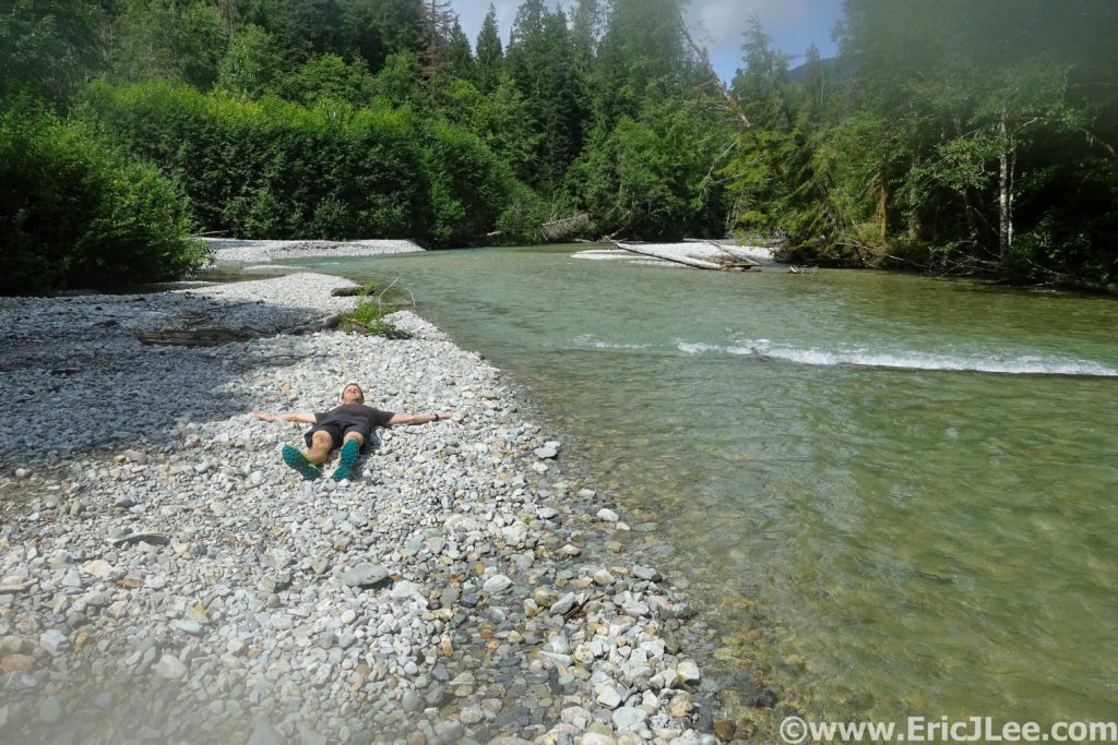
Crossing one of the side creeks along the Copper Ridge loop, somewhere deep in the Chilliwack valley.
Basking in some of that elusive PNW sunshine after our second crossing of the Chilliwack river.

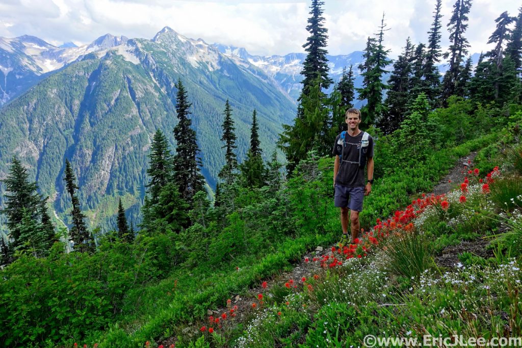
We knew that what came next would be our physical test of the day, a 4000ft climb straight up to the ridgeline. We settled in for the long haul, switchback after switchback up through the forest, the sun percolating through the slowly thinning trees. As we neared the final switchback below the ridgeline, the trees began to open and the views began to explode behind us. The clouds had finally lifted and the jagged glacier capped peaks of the Cascades loomed across the valley. When we finally reached the top of Copper Ridge the weather was beautiful mostly blue sky, and we were completely awe struck by both the verticality and the depth of the mountains surrounding us on all sides (19.2mi).

Mountain views and wildflowers, welcome to the North Cascades!
So amazing and so runnable we couldn’t help ourselves.

The single track along the ridge was a mix of beautiful flowing dirt and rocky steep climbs/descents. This was the wow factor part of the loop without a doubt. We finally reached Copper Lake, set in a steep walled cirque, it’s blue waters glittering in the sun. Jason’s legs were definitely feeling beat up (this being his longest run in 3 years!), but we put our heads down and trudged our way up to the Copper Ridge lookout tower (24.3mi), the high point of the day. We met up with several groups of backpackers, all of whom were soaking in the expansive vistas, oogling the craggy summits, marveling at the hanging glaciers. In the soft evening light it was truly a spectacular site, the only sounds of civilization being the chatter of our neighbors. Unfortunately we couldn’t linger long as we still had 10miles to go and darkness would soon be descending upon us, so we began the long jog back towards Hannegan Pass.

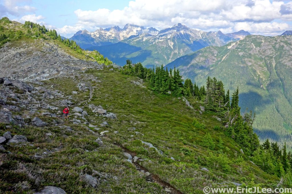
Some rocky trail running near the Lookout, oh and the views were pretty ok.

As we descended the ridge the clouds began to roll back in, completely enveloping the ridge, then bursting apart to reveal the mountains around (finally including Shuksan, but not Baker). It was truly a surreal experience and some of the most beautiful trail running I’ve ever done (right there with Four Pass loop). After dozens of photos stops we finally made it back to the base of Hannegan Pass, all we had to do was conquer this final 500ft climb and it was a short few miles of downhill back to the car. Thankfully the final uphill was littered with fields of lupine, lilies, columbine and wildflowers of every color, a welcome distraction for the tired minds. After a quick snack atop Hannegan Pass (30.3mi) and one last moment taking in the Chilliwack valley that stretched out below, we scooted our way back down towards the car. I ran ahead a little bit, rounded a bend and stopped dead in my tracks…. A noise off to my right had perked my ears up, and when I paused to assess I was astounded to see two baby black bears clambering up trees not 50ft away. Where babies play, mamma isn’t far away, so I slowly backed off, signaling to Jason to stop and do the same. Mamma came sauntering through the woods, finally coaxing the two babies down and they went crashing off through the brush when she finally caught our scent. Wow, did that really just happen????

Moody weather along the ridgeline, watching the clouds roll back and forth.
Almost back to Hannegan Pass, this place is a trail runner’s paradise!

We rolled back into the parking lot just as the last bit of sunlight was fading out of the sky, tired but our hearts so full from the amazing experiences of the day that instead of worrying about camp or cleaning up, we sat next to the car eating ‘dinner’ and just recapping all the memories of the day. The Copper Ridge loop (or lollipop) had lived up to its reputation; beautiful forest single track, meadows full of wildflowers, crystal blue glacial rivers, and stunning mountain vistas. While the North Cascades have far more to offer, if you only have one day, this loop definitely encompasses what makes the North Cascades so special. I was very fortunate to be able to share this experience with such a good friend, on such an imperfectly perfect day. We may not have gotten the clear blue skies (and thus no views of Mt Baker), but the mist and drizzle giving way to a mix of low clouds and blue sky made for such proper PNW experience. This loop has easily jumped into my top 10 for National Park Ultras (it was my 18th completed NP Ultra) and should be on every ultra runner’s to do list. 34.5miles, 8950ft gain/loss, 10h35min.

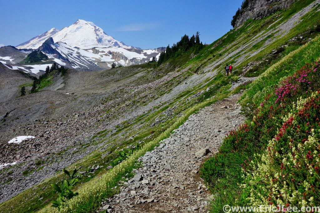
Bonus shot of Mt Baker from the Mt Baker Hwy the day after our Copper Ridge run. Sometimes being a tourist is pretty A-Ok.
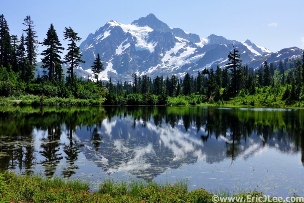
Mt Shuksan reflected in a small tarn along the Mt Baker Hwy. Just touristing around the day after our Copper Ridge run.