Tag Archives: Running

Great Sand Dunes NP Ultra, 5/1/21

Nestled along the Western edge of the Sangre de Cristo Mt range is a wind-swept area of the San Luis Valley where the winds push the sand from Medano Creek into towering dunes.

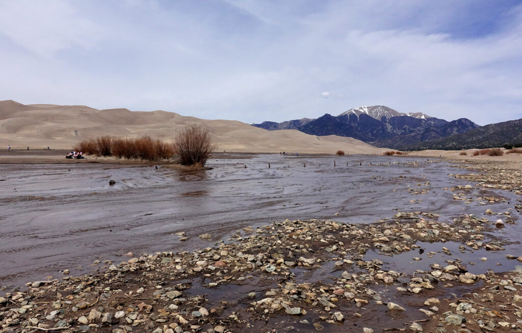
Medano Creek in full flow in May at Great Sand Dunes NP.

Who knows what a pulse flow is? Unless you’ve been to Great Sand Dunes in the spring/early summer you’ve probably never heard of this term. A pulse flow is a phenomenon that happens when the river flowing through the dunes, dams itself up with sand, eventually breaking those dams, so you get pulses of increased flow (or mini floods) working their way down stream in a wave like pattern.

Great Sand Dunes National Park was established as a National Monument in 1932, and upgraded to a National Park in 2004 to protect the unique sand dunes forming at the base of the Sangre de Cristo Mts as Medano Creek flowed down. This ecosystem brings in a variety of flora and fauna not typically seen together and creating 500ft tall sand dunes! Most people come to this National Park to play in the river, climb the dunes and some to sandboard down. Very few get to experience the heart of the dunes or the mountains surrounding them. When I hatches the plan to do a Great Sand Dunes crossing (7mi of sand), I got lots of “Hell No” from friends, but not my friend Ben. Ben loves anything novel, and this sure was going to be a novel experience.

Sunrise over Great Sand Dunes NP with the Sangre de Cristos in the background.

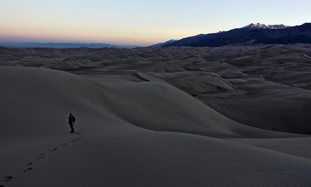
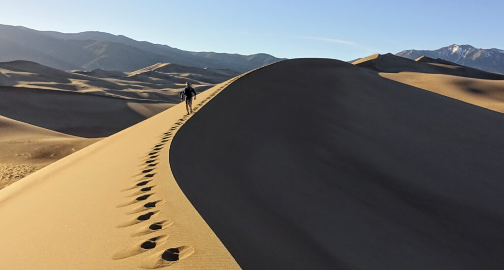
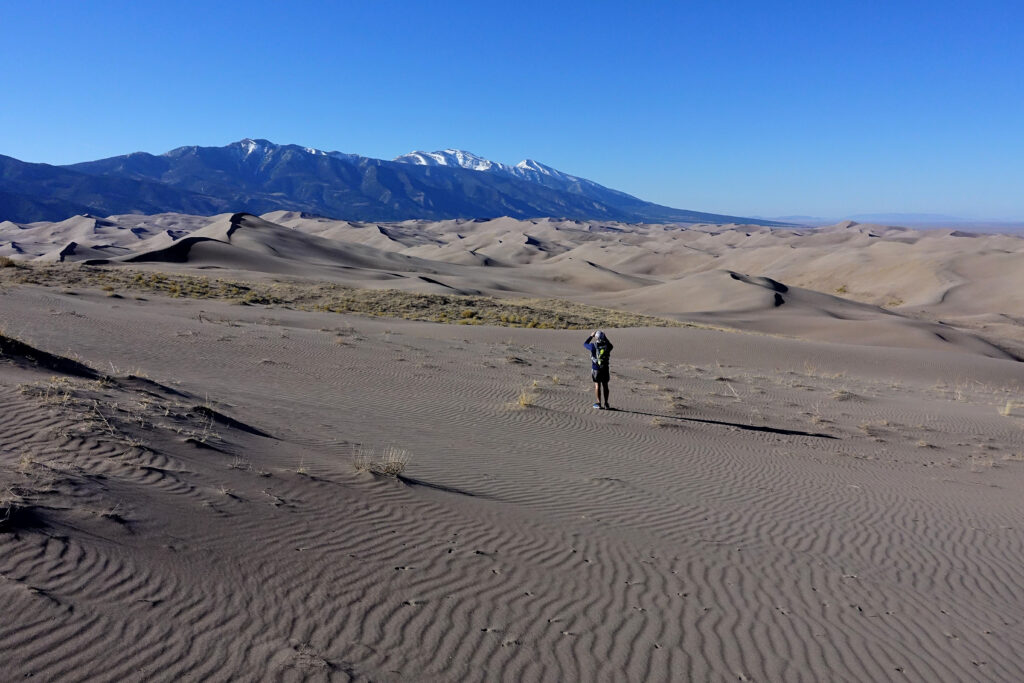
We set out just before sunrise, hopping across the sandy shallows of Medano Creek and on up Star Dune, the tallest in the park at 741ft. We quickly found if one stuck to the ridges and valleys the sand was actually not bad to walk on. As we crested the high dunes, the first rays of sun were lighting up the sky above the Sangres, leaving us far below in shadow. We cruised across the dune tops and through the massive valleys, slowly making our way North to the Sand Ramp trail. We made quick time across the dunes (3h for 7mi), reaching the ‘trail’, which was really more of a sandy path. We jogged/walked back to the Medano Pass 4×4 Rd, where Ben and I would part ways. After dumping a pound of sand out of our shoes, I continued up to Medano Pass, while Ben headed back to the visitor center.

Ben traversing the dune tops in the morning sunlight.
Sand dunes and snowy mountain tops.

The road was smooth and went by quickly until about 500ft from the pass, where I started to hit patchy snow. Small at first, but they slowly grew bigger and deeper as I neared the pass. I reached the top of Medano Pass without too much difficulty, marked only by a sign describing the early pioneer’s efforts to get over the pass. It was early enough in the year that no cars were allowed up to the pass, so I had a quiet run down back to the Sand Ramp trail. From there it was the final grind back around the East side of the dunes, with a quick stop at the overlook to take in the immensity of the dunes. Then on back to the visitor center for a dip in the creek and a soda.

Making our way across the Sand Ramp ‘trail’.
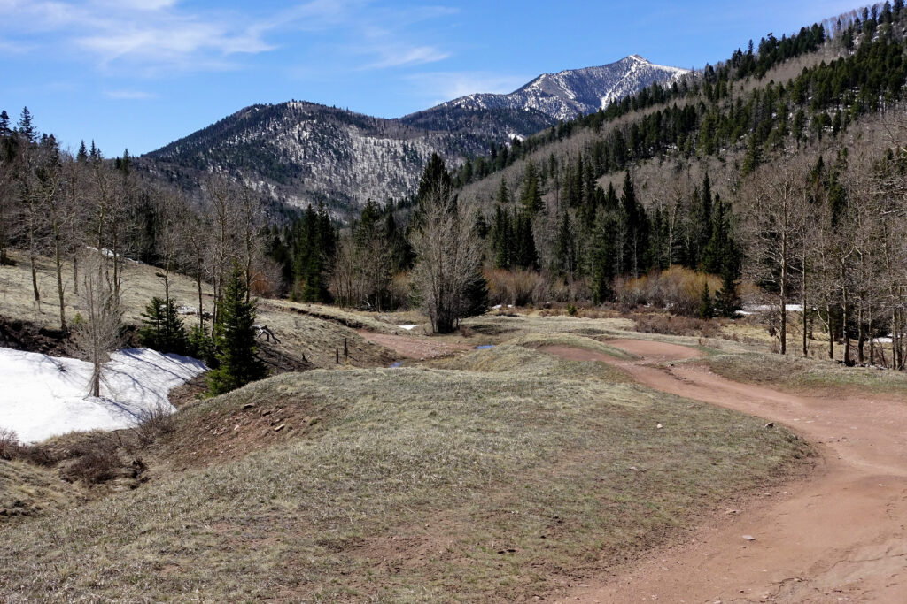
Medano Pass Rd, climbing high into the Sangre de Cristo Mts. The source of Medano Creek and all the sand that makes up the dunes.

29mi and 4300ft later I pushed through the reeds growing along Medano Creek, arriving back at the beach party, closing my loop. I found the rest of our gang hanging out in Medano Creek: building sandcastles, dams and splashing in the water. It’s truly the closest thing Colorado gets to a beach day, and it’s such a unique way to experience it. I wouldn’t classify the Sand Dunes as a great running destination, but it is a unique place, especially in the late spring/early summer when the water flows and the days are warm. If you’re feeling bold, wander beyond the first 1/2mi into the heart of the dunes where you’ll have the park almost entirely to yourself. I promise you won’t be disappointed.

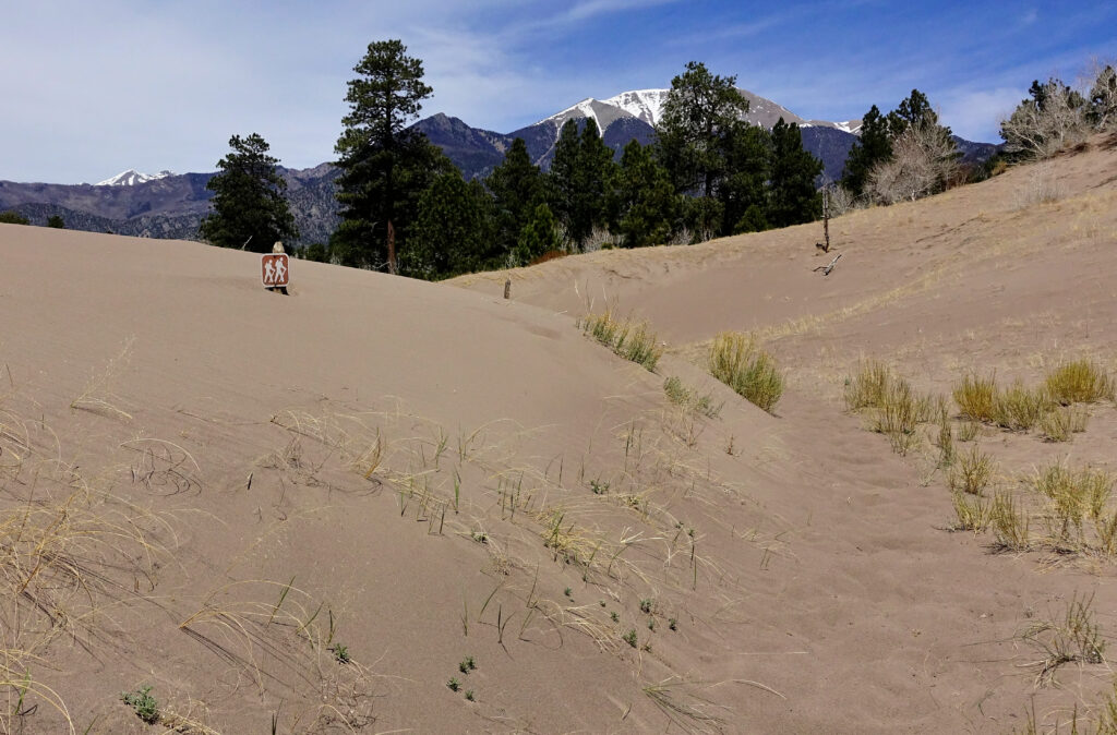
Reminder…sand dunes can move and cover the trail and bury signage.
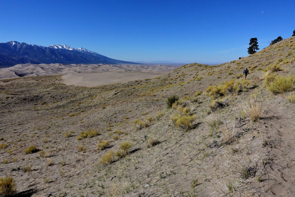
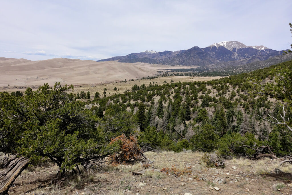
View of the Sand Dunes from viewpoint near the end of the run.

2022 Hardrock 100; Acceptance
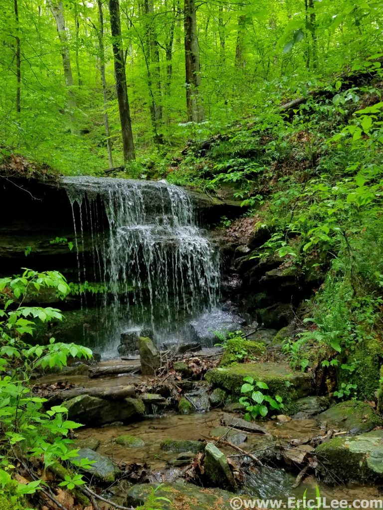
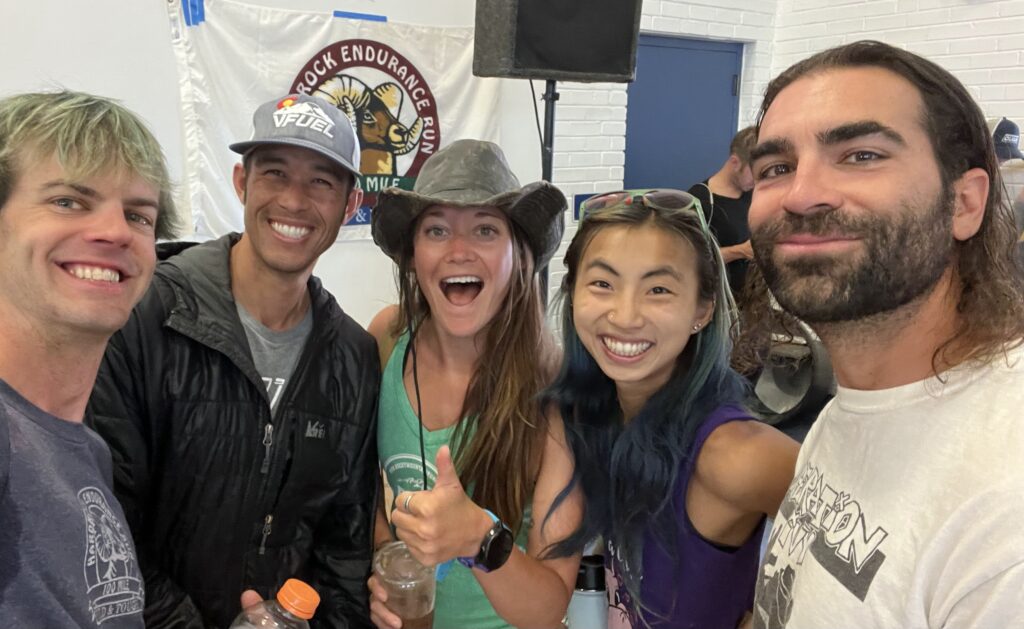
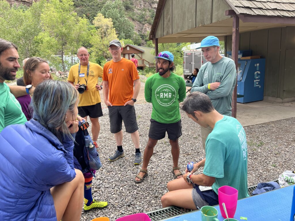
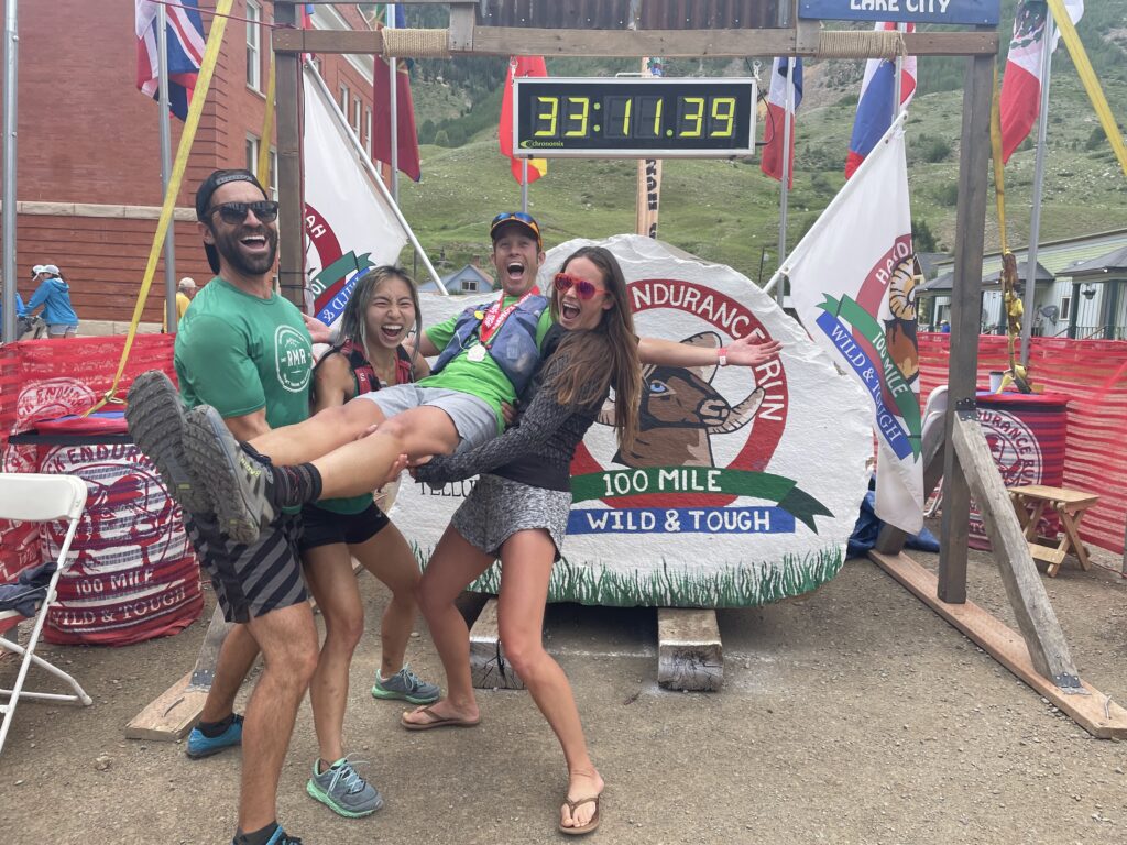
The best crew and some of the best humans around.

Going into the 2022 Hardrock 100 I had grand aspirations and goals (which included a sub-30h finish). The quick answer is things went about as well as it could have, but not as well a I dreamed it would. I’ve always set big goals for myself, many of them born out of insufficiency and insecurities from past lives; You’re too slow, you’re not strong enough, you’re too short, too awkward, not smart enough…
Every person who steps foot on the line at Hardrock has dealt with their own challenges to get there and most likely still carries some of those challenges through the race and life in general. To claim we are all equal is a lie, we all are unique and none of us will ever have the same experience and that’s perfectly ok. Something I’ve struggled with for a long time is the idea that if I worked hard enough I could achieve some of the lofty aspirations, maybe not Killian level, but pretty high. 16 years after I started ultrarunning, I’m finally accepting that’s just not the case. To be clear, I’m not looking for a pity party, but rather through a recognition of my own weaknesses (and also my strengths), I can become the best version of that self and achieve whatever my personal limits may be.

Pre-race nervous shakeout and relaxation up at Hematite Lake with Jason.

Ok, back to Hardrock. Last year (2021) I went into the race determined to push hard and really find my potential, and a new level of success (time and place). What ended up happening was out running my capabilities early and suffering through the last 1/3 of the experience. 2022 brought a much different approach, listen to my body, be grateful for every experience (good and bad) and to enjoy a much as possible. In the past what’s done me in is running to others expectations, trying to keep up with others (not myself) and not fully listening to my body. The biggest challenge was admitting that my airways and lungs are my weak point and will always limit what I can do, especially at high altitude. This is not new (Nolans, past Hardrocks, 24h 14ers, Elks and others), but it’s been a hard thing to admit that it’s not something I can train past or “overcome”. I’ve found ways to cope and build other strengths; getting faster downhill, increasing overall fitness, running longer and slower, but none of these will ever remove this weak link of mine.

Cresting the Putnam Divide early in the race, mm10.
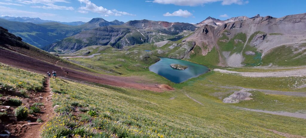
The infamous Island Lake near Grant Swamp Pass, always a worthwhile visit.

I slept terribly the week before the race (another temporary challenge) and work stresses had me a bit out of sorts, not the best way to start a super hard 100mi race. But I was promised to spend a long weekend running around some is the most beautiful mountains, with a crew of great friends, I was lucky indeed. The first climb went by smoothly, as I focused on just taking in as much of the experience as possible, soon finding myself in the familiar position of leap-frogging with Darcy. Maggie soon caught up to us not too much later and the three of us would spend the next 30miles leap frogging back and forth (them on the ups, me on the downs). Every time I rolled through an Aid Station the friendly faces would provide a boost, finally getting to see my crew in Telluride (mm28). The stoke was high, I was still feeling great and just doing my own thing. As we (Darcy, Maggie and I) left Telluride a big storm dropped in and pummeled us with rain and hail for 45min, but it was fine, we were below treeline and safe, just moist. The ominous skies still threatened as we approached Kroger’s Canteen. A couple of perogies, some coke and off down to Ouray I went. I was finding my own rhythm, playing to my strengths, listening to my body and just letting the miles roll by. Ouray was a wild circus full of energy. Tons of friends, spectators and confused tourist everywhere. For the first time at Hardrock I left an Aid Station without a pacer, focusing just on myself and the mountain experience I was seeking. Darkness fell as I led a group of us up and over Engineer Pass and down into Animas Forks. The aid station was a bit of a mess and I almost ran right by my crew without either of us realizing it. After a quick change into my nighttime gear, Jason and I were off to Handies, my white whale.

Nearing the summit of Virginius Pass, just after one thunderstorm had passed over, right before another one was about to hit.
Crew stop and refeul in Ouray before heading up to Engineer Pass.

As we headed up the Grouse saddle the work stress and lack of sleep were catching up with me and I’d spend the next 5h a walking zombie. My lungs strained in the cold air and I knew if I didn’t slow I was at risk of damaging the rest of my race, so upwards we crawled. After much bitching and moaning on my part (Jason was great) we made it to Burroughs AS where Jesus greeted us with open arms (no I want hallucinating yet). I kept trudging forward at what felt like a slow crawl, picked up Gwen at Sherman, then slowly staggered my sleepy way to sunrise at the pole creek divide. As the sun illuminated the surrounding mountains, my spirits began to lift. Gwen commented that she knew I was back when I made some very juvenile comment that only a 12yo would make, oops. So we ran (some) and walked (a bunch), enjoying what was a mostly lovely day. I probably groaned a bit when we hit the precipitous descent into Cunningham, but that meant only 1 AS left! I did my best to keep things fun at our last crew exchange, but I was just a wee bit tired, so who knows how well that came off. Bailee and I set off at a slow trudge up Dives/Little Giant, trying to keep my breathing in check (and not set off my asthma), but also wanting to get done. As we crested the top, I took one last look back at Green Mt and finally let myself believe I was going to get it done.

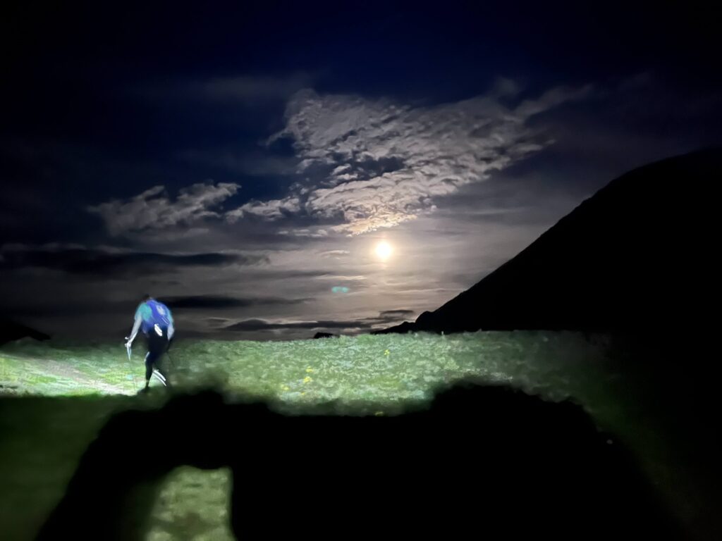
Full moon rising as Jason and I make our way over Handies Peak at 14000ft.
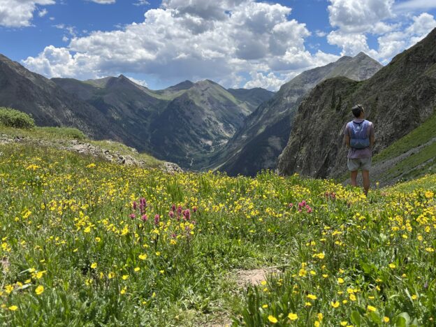
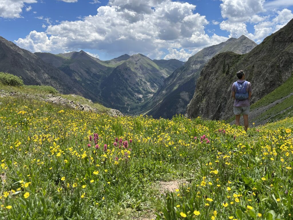
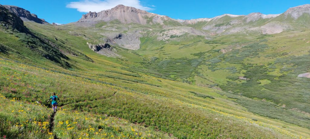
Down into Maggie we go, endless wildflowers all around and Day 2 sunshine.
Still kinda smiling and kinda having fun, final climb up and over Dives/Little Giant, almost done!

Whatever pain and fatigue I felt didn’t matter, all I had to do was will my way downhill to the finish. We ran as fast as I could down the technical descent, taking a few walk breaks to catch my breath. We stomped through the river and hit the final few miles into town, running into Jefferson along the way. I ran as hard as my lungs would allow, but with two miles to go I was sent into a coughing fit, diaphragm spasms and promptly threw up. This was the first time that’s ever happened during a race. Once I stopped coughing I felt fine, so we jogged it in. As we cruised through town we were greeted by many familiar faces, including my crew. It felt really good to kiss the rock for the 3rd time, but it felt even better to be in good spirits (despite puking) and to have enjoyed the experience (for the most part).

Finish line vibes.

The rest of the day was spent on a quick nap, cheering on the multitude of friends finishing that afternoon/evening and eating all the food I could find (burrito, 2x burgers, cookies, soup, etc). My training had succeeded, my legs held up (my legs are never my limiting factor at elevation), and other than my 5h sleepy stretch so had my energy levels. I’ve learned that no matter how hard I train, at Hardrock I can’t outrun my lungs, so sub-30h may never be in the cards for me, and I’m ok with that. I had a great run with my good friends, and that is really what I wanted most out of the experience. Sure it would be awesome to run faster, but after 34:38, 33:52 and 33:10 finishes I’ve accepted this is who I am. On to other new adventures, different races and to enjoy crewing my friends at Hardrock in future years, where I get to eat all the food, take a few naps and not run 100miles of that crazy course all at once.
Big thanks to Vfuel for supporting my training and my Hardrock adventure, all the Rocky Mountain Runners for the training miles shared and my friends and crew for dragging my sometimes grumpy ass around the San Juans yet again.

Great Smokies Challenge Adventure Run (SCAR)

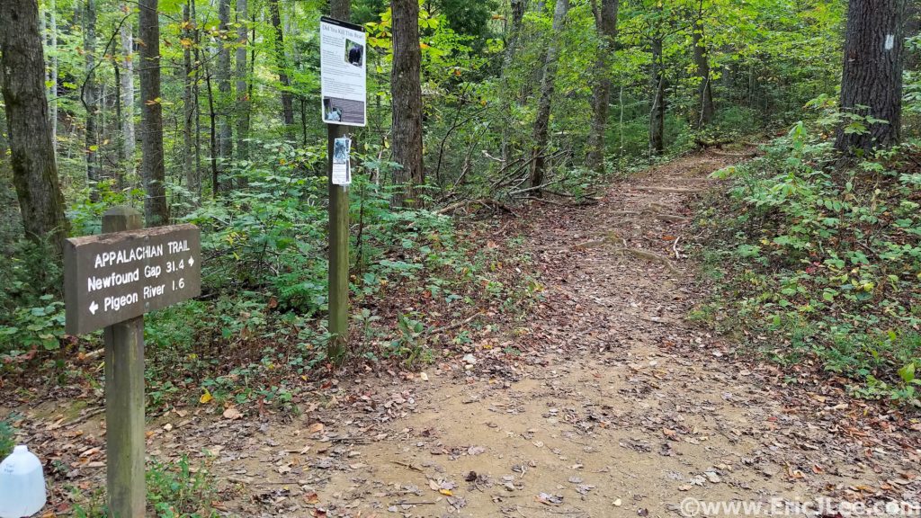
Well here goes nothing…. At 5am I set off into the darkness, slowly climbing my way up from Davenport Gap into the silence of the hardwood forest. It was Oct 14th, just over a month after my disappointing race at Ultra Trail Monte Rosa, a very unfulfilling would be end to a big year of training, so I immediately went searching for the next big challenge. Naturally my National Parks project came to the forefront, and at the very top of that list was the “Smokies Challenge Adventure Run” (SCAR). If you’re not from the East Coast I totally get your confusion at the name of the route, I was equally surprised when I first came across it in blogs in early 2019.

Pre-scouting Davenport Gap the day before the big dance. Oh boy, oh boy!

In short, the SCAR is a 72mile traverse of Great Smokies National Park from Davenport Gap to Fontana Dam (or the other way) along the Appalachian Trail, it was a logical, aesthetic and seriously challenging line (72mi, approx. 18000ft, current FKT 14h28min). My goal was to simply survive it, experience it, and take a lot of photos (it would be my first time in the Smokies). So as I power hiked and jogged up the hill from Davenport Gap, my head was swirling with doubts… was I trained enough, did I pack enough food/supplies, would the natural springs be flowing, would the weather hold? The only thing I was certain of was that I was in for one hell of an adventure.

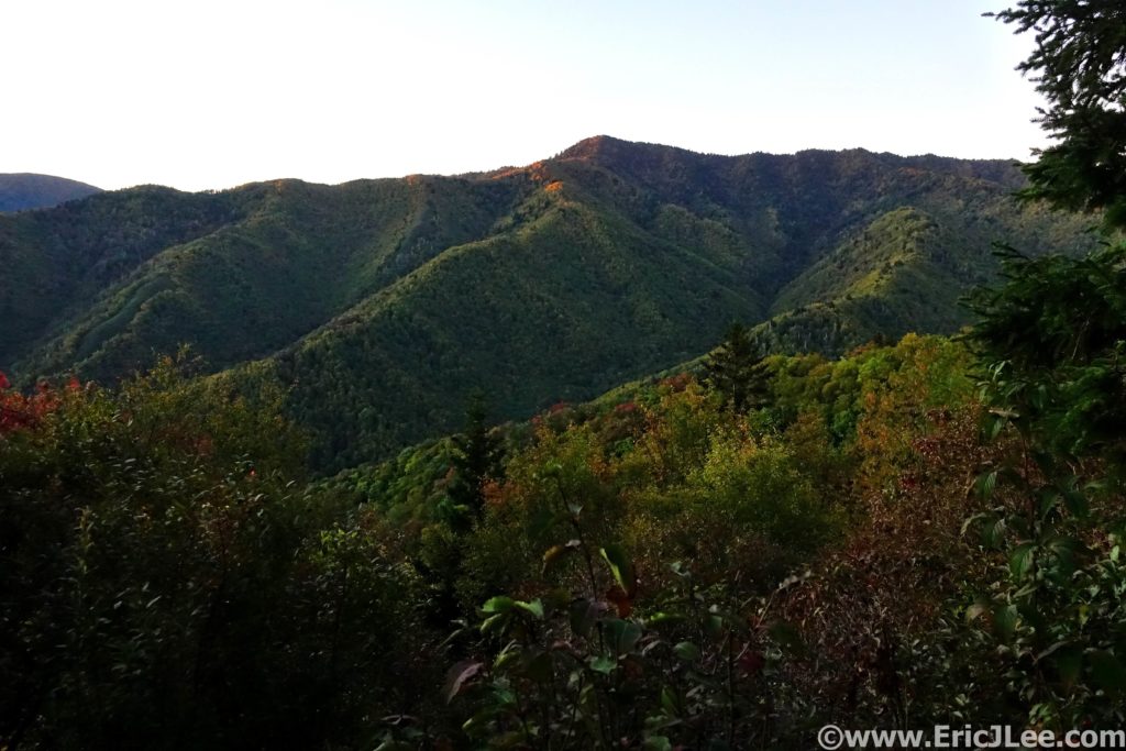
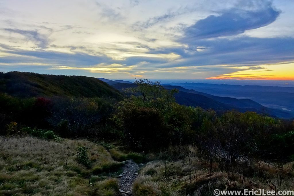
First light hitting hitting the Appalachian Mountains in Great Smoky National Park.
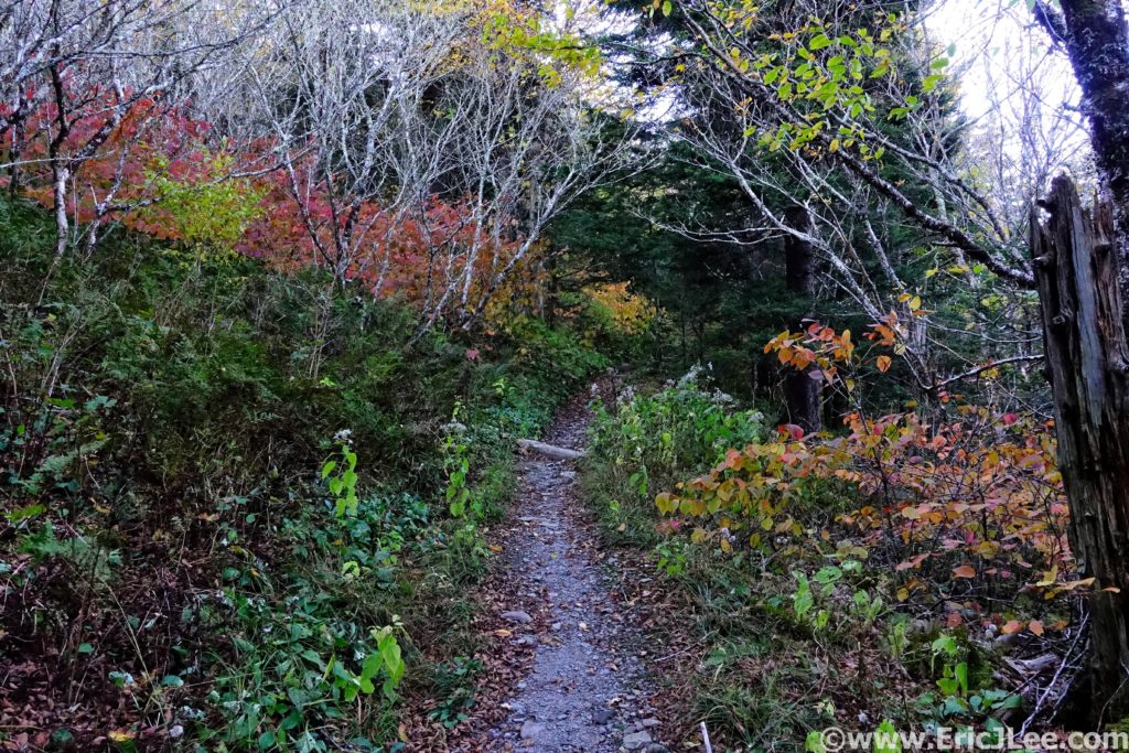
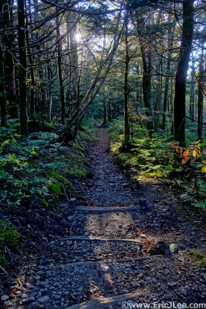
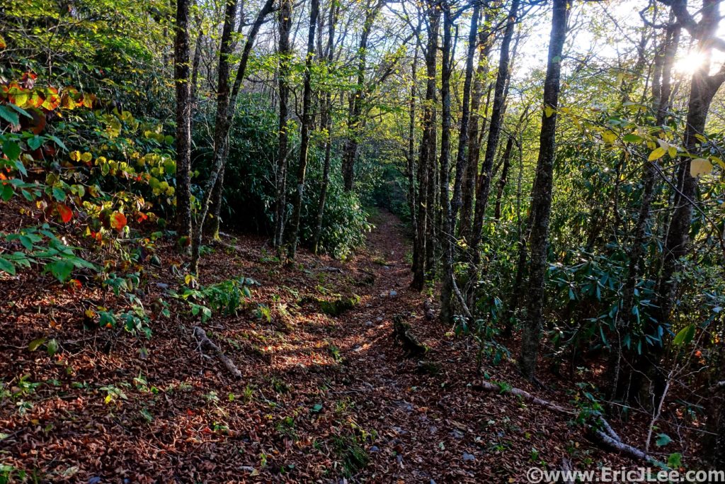
A little splash of fall colors along the AT.

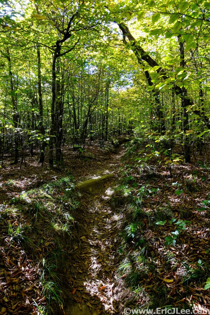
The initial climb went by fairly quickly, and as I crested the ridgeline near Mt Cammerer the first glow of sunrise was showing in the East (5.2mm, 2:45). Now atop the ridgeline I settled into my goal pace for the day, hike up each knob/peak, then jog the descents and flats. The trail was a mix of deep hardwood forest with fleeting views from the various lookouts and knobs along the trail. Finally, I crested Mt Guyot and jogged my way down to the Tricorner Knob shelter (15.7mm, 4:10), my first reliable water source. 2019 was a dry year in the Smokies, as such many of the springs had dried up, and even the ever reliable Tricorner Knob was reduced to a piped trickle, though just enough to treat a bottle before moving on.

Early morning light filtering through the deep forest.
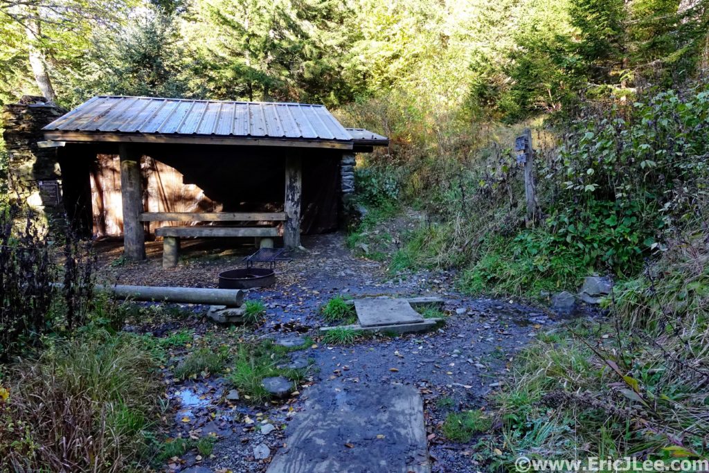
Tricorner Knob shelter, the trickle of water is on the right.

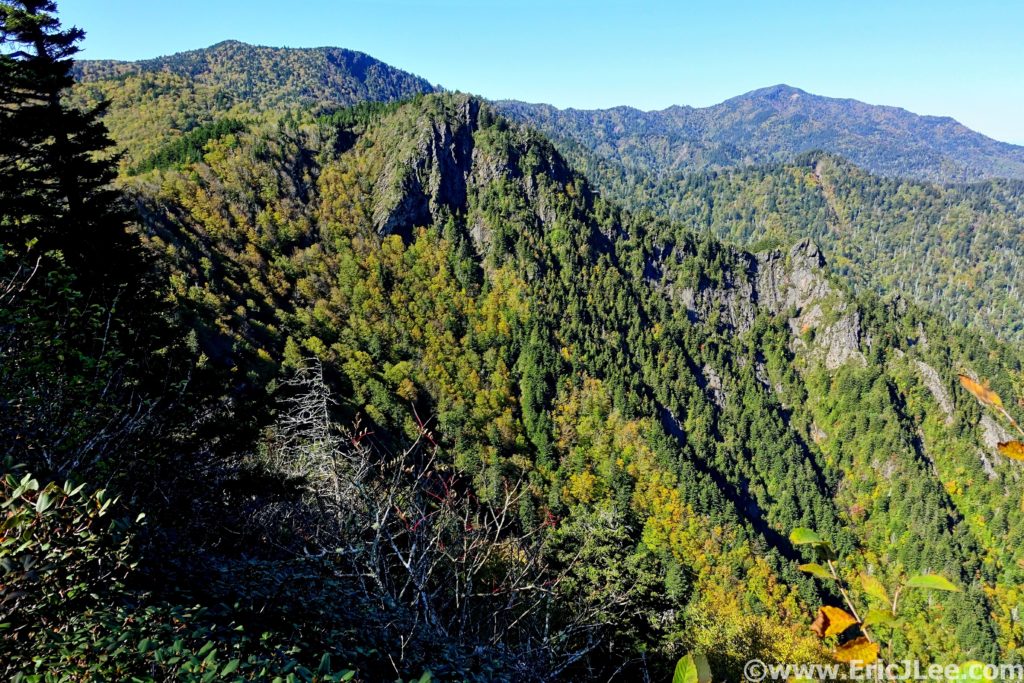
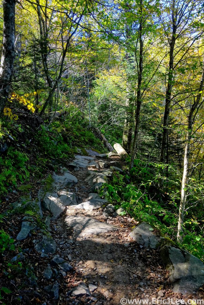
The route stuck pretty close to the ridge for the next section, with several beautiful narrow sections of ridgeline where one could look down both the North and South sides of the ridge. Over Mt Sequoyah, Eagle Rock, Laurel Top, Porter’s Gap and The Sawteeth. The foliage was several weeks behind, but the hillsides were dotted with yellows, oranges and reds, just enough to break up the endless sea of green. As I passed Charlie’s Bunion I began to encounter a steady stream of hikers. By the time I reached Ice Water Spring and Mt Kephart there was an almost endless line of hikers strung out along the trail. Thankfully most people were aware enough to allow me to cruise on by, and I soon popped out of the woods into the madness that was Newfound Gap (30.3mm, 7:15).

Splashes of yellow adorn the Great Smoky Mountains.
A little fun rocky single track along the AT.

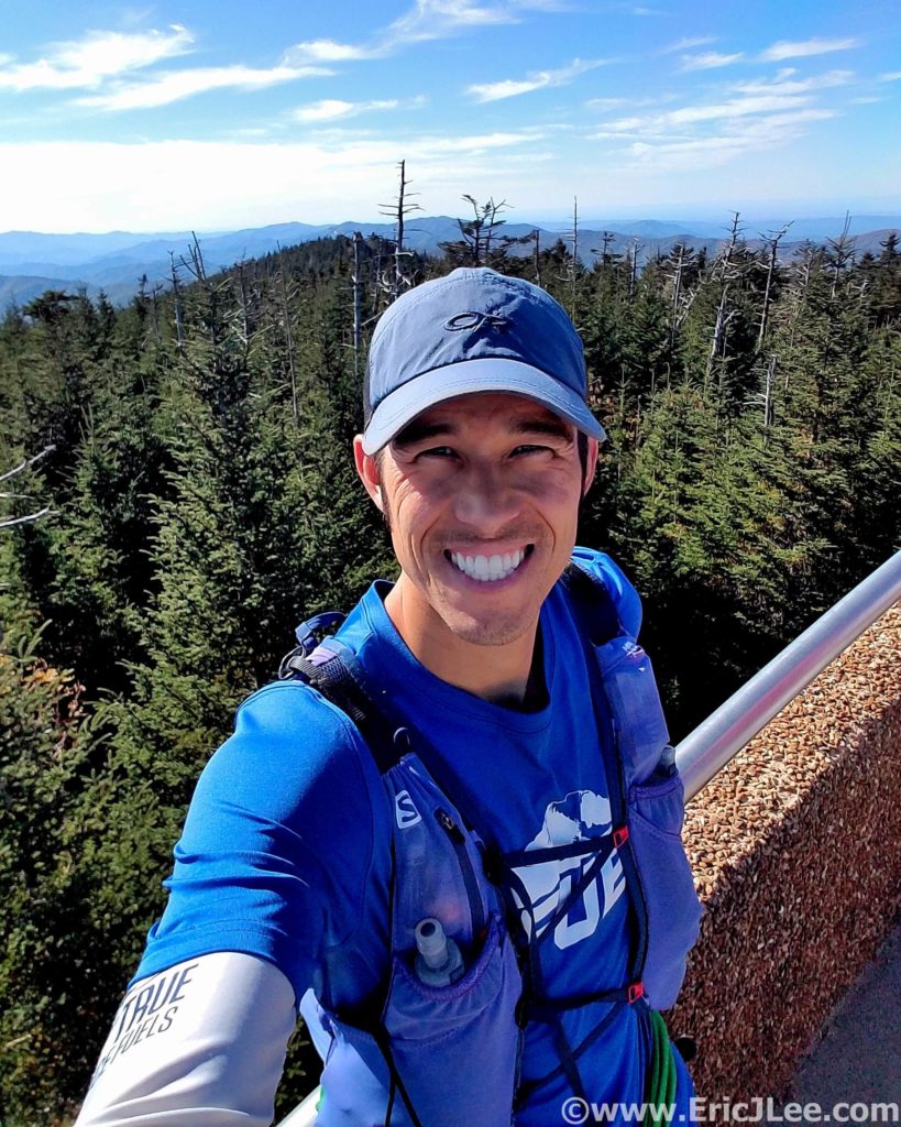
I knew Great Smoky NP was the most visited National Park in the US, but I was definitely not ready for crowds. Cars were backed up for a mile on either side of the pass as many more endlessly circled the parking lot. By a stroke of luck I was actually able to find my mom, who had offered to meet me at the trailhead for a food and water resupply. I reloaded my S-lab 12 and jogged out of the parking lot, quickly leaving the masses behind. I hike/jogged along the rolling forested AT up towards Clingmans Dome, the high point of Tennessee and the day. As I neared Clingmans Dome I had my first low point of the day, I bonked hard, slowly slogging my way up the Clingman Dome fire tower (39.6mm, 10:05).

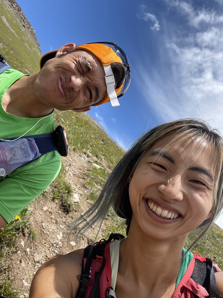
Selfie atop the lookout at Clingmans Dome, back from the dead….for now.
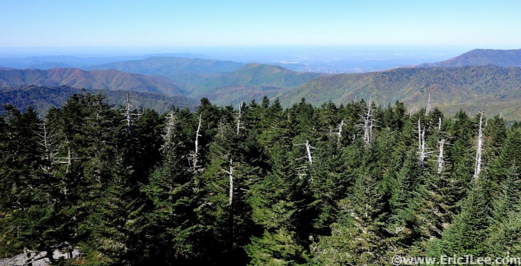
View from Clingmans Dome into Tennessee.
The soft afternoon light makes the forest glow.

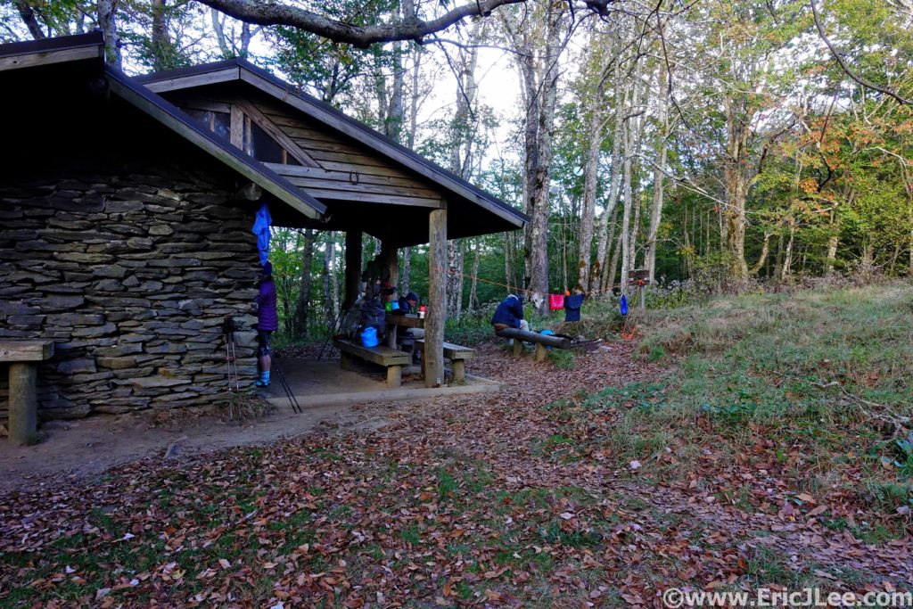
The views were 360 degree panoramic and the air was unusually clear, allowing one to see a long way into both Tennessee and North Carolina. After taking in the views I again disappeared back into the dense hardwood forest, losing all the crowds instantly. It was all downhill from here, literally and figuratively. The trail slowly became rockier, and my legs were definitely not getting any spunkier. Down, then up, then down again, then up…. I didn’t seem to be losing any elevation, even though I’d passed the high point? I finally reached the Derrick Knob shelter (49.3mm, 12:45) for a water resupply, the pipe was again trickling, just enough.

Derrick Knob shelter, water refill station and new friends.
A little solo silent single track running soothes the soul.

I paused for a moment to chat with the group staying at Derrick Knob, and the inevitable question came up…”So where are you coming from”….”Davenport”….”How many days did it take you”……”I started this morning”……”WHAT?!?!?”. I don’t know why I bother trying to explain, but they were nice enough to point me in the right direction, so off I went. The light was slowly fading away, and the end didn’t seem to be getting any closer. The short steep climbs up Thunder Mountain and Mt Squires were soul crushing, the last just as the sunset faded away in the West, it was going to be a long dark road (54.4mm, 15:15).

Sunset from Mt Squire on a long day, with many miles to go.

The miles seemed to drag on, over Mollies Ridge and down to Ekaneetlee Pass. I had been dreading the climb to Doe Knob, though knew it was my last significant uphill before what I hoped would be a cruiser downhill to the Fontana Dam. The power in my legs had disappeared on Thunder Mountain and it took all my concentration just to stay upright and on my feet. The dense forest seemed to wrap the darkness tight around me, and it felt as though there was nothing but me and the trail. Finally, I reached the turn where the AT leaves the ridgeline of the Great Smoky Mts and heads due South (64mm, 17:18). I started to jog down the overgrown track, only to find my legs were jello, and I was struggling to not stumble off the trail with every single step. I finally gave up and settled into a soul crushing 16min/mile stumble down the trail, frustrated I couldn’t run, usually my strength.

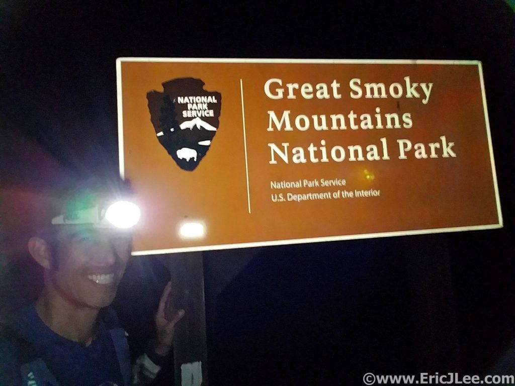
Just after midnight at the Fontana Dam, happy to be done, and completely worked.
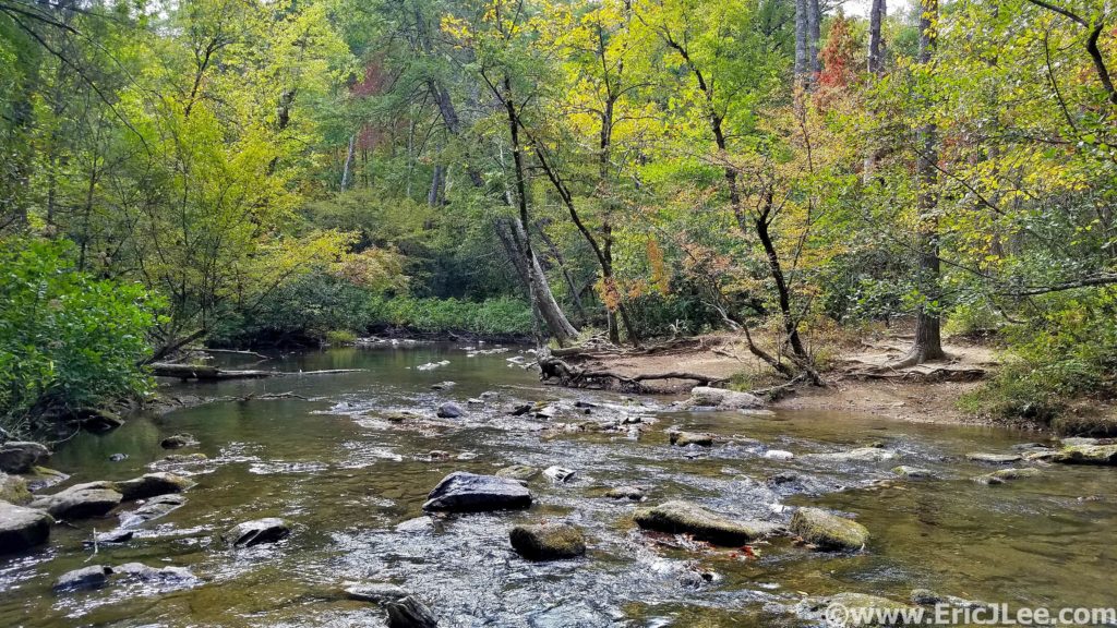
Spending the day after the SCAR quietly recovering along one of the many gentle rivers in Great Smoky National Park.

The miles seemed to pass be excruciatingly slow in the darkness, but at last I popped out of the dense woods at the trailhead, only 0.5mi of road left to the dam! Now back on smooth ground I was able to slow jog down to Fontana Dam and the sign marking the boundary of Great Smoky Mts National Park. 72miles (+/-), 18000ft (+/-) and 19h and 25min after leaving Davenport Gap I’d completed the SCAR. I had received a thorough ass whooping on some beautiful but challenging East Coast trail and my first introduction to the Great Smoky Mts had been one hell of a ride. I definitely underestimated the run, but was grateful to have had the opportunity to experience such a classic AT route. Special thanks to my Mom for helping me out with logistics and making the run possible, and to Vfuel for keeping my energy up throughout most of the run. 21 National Park ultramarathons down….only 35 more to go!

Forests of Green and Holes in the Ground; Mammoth Cave National Park Ultra

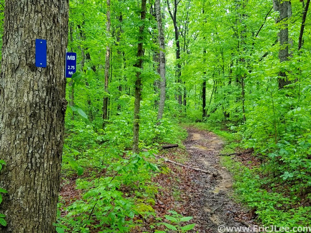
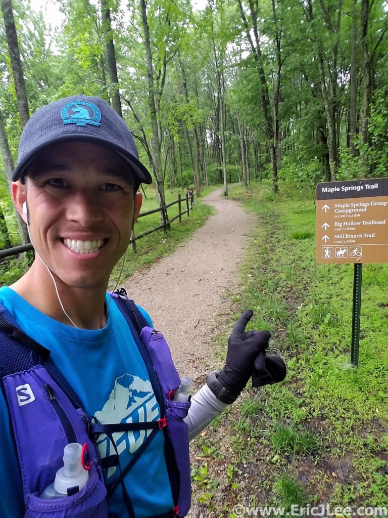
Squish, splash, splosh….what had started out as such a beautifully promising trail had quickly descended into a horse trodden mud bog….would the whole run be this way? The Maple Springs Trail had started out as beautifully cruiser crushed gravel meandering through the lush green forest, but as soon as I turned onto the Mill Branch Trail I found out what the ranger had warned me about, the horse trails were muddy….

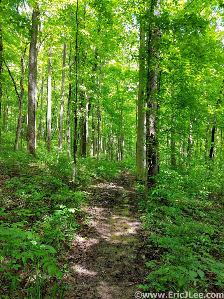
Lush green forests and muddy trails of Kentucky along the Mill Branch trail in Mammoth Cave NP.

Mammoth Cave National Park is best known because its currently (May 2019) the world’s longest cave system at over 406miles of passageway with more still being discovered. The cave system has a long history of human exploration and exploitation along with a hugely diverse ecosystem inside and out. While the cave itself may be the best known feature of the park, the park also has a beautiful trail system, covering over 70miles, exposing one to the surface geology and weather that makes the formation of the cave possible (more on the caves at the end).

My run set off from the Maple Springs Trailhead cruising the beautiful crushed gravel paths through some of the greenest forest I’ve ever run through. Several days of rain had really brought everything to life…. including the mud. As I transitioned onto the duel use horse trails, the smooth path turned into a chopped up muddy mess. I sloshed my way around the North edge of the park on the Mill Branch and Blair Springs trails, both of which consisted largely of ankle deep mud…bleh. I got a short reprieve as I passed the First Creek TH (7.6mi, 1:30) and climbed the ridgeline high above Second Creek. The foliage briefly transitioned to pines and hemlock, before returning back to the dense hardwood forest.

My starting point at the Maple Springs TH in Mammoth Cave NP.
One of many cascades along the trail in Mammoth Cave NP.

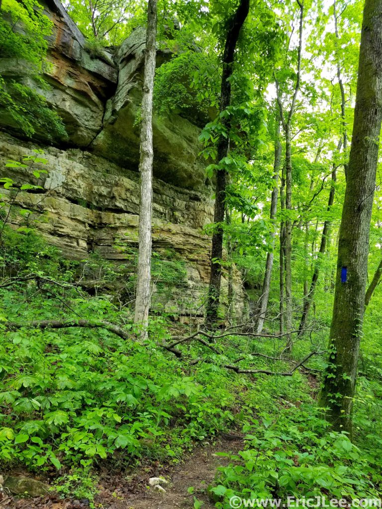
When the trails weren’t a mud bog they really were beautiful…rolling single track, swooping through the neon green forest and limestone rock formations randomly jutting out of the hillside. As I made a turn to parallel the Nolin River the trail transitioned back to the horrid mud bog, and I splashed my way passed First Creek Lake (nice campsites) and then up the steep hill to Temple Hill (14.3mi, 3:00).

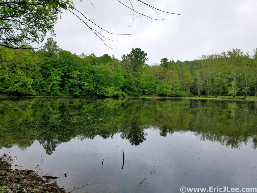
First Creek Lake, several lovely campsites.

Most of the terrain had been incredibly runnable to this point, so it was nice to have some hiking grade to break up the pace. I passed a few hikers on this stretch, the first people I’d seen all day! After a short but abrupt descent down the McCoy Hollow trail, the grade mellowed and the trail weaved in and out of various river drainages before descending to the Wet Prong of Buffalo Creek (20.4mi, 4:20). Another short steep ascent up to Collie Ridge before the trail plummeted straight down to the Dry Prong of Buffalo Creek. When I finally turned onto the Sal Hollow Trail (24.4mi, 5:25, final trail of the day) I was pretty ecstatic to see find it was a non-horse trail, meaning it was the most beautiful section of trail I’d been on all day.

Limestone formations and lots of greenery await you on the trails of Mammoth Cave NP.
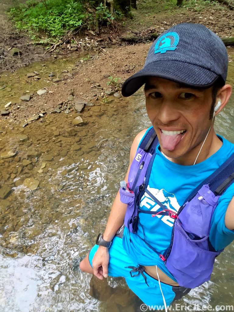
Soaking my legs in Sal Hollow to wash off a little mud and cool the feet.

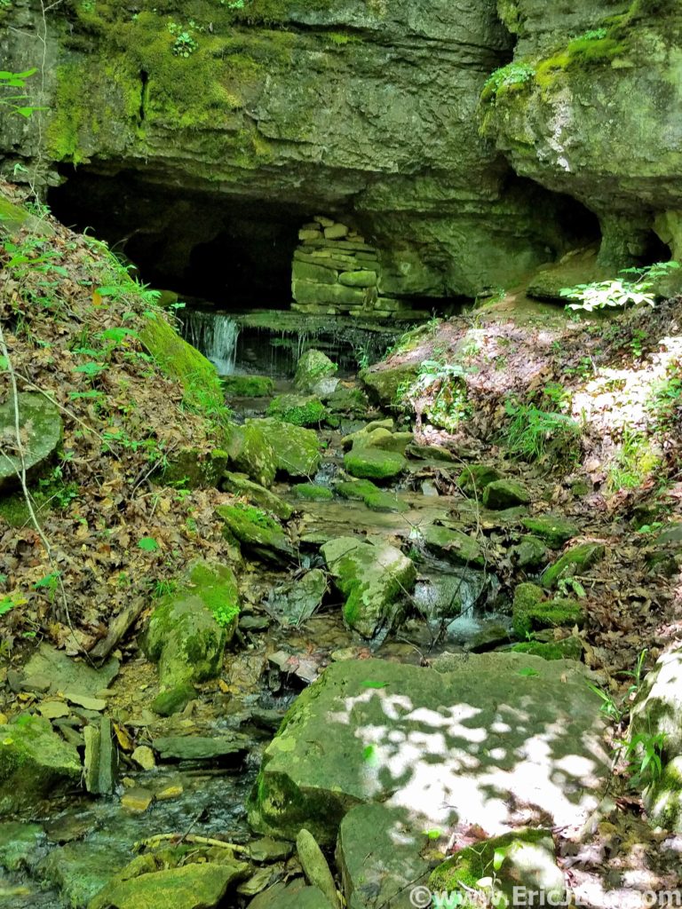
The damp single track weaved around trees and rocky limestone outcroppings, passing springs flowing out of caves and sink holes where the water was most likely draining into the cave system below. I even took a short break to crawl into one of the cave springs for 20-30ft, opting not to delve too deep on my own though. I splashed through a puddle now and again, but overall the footing was stellar, and my tired legs were glad for the reprieve from the mud bogs of earlier. This was the trail I’d been hoping to find all day, and despite being a tired and a little grumpy I was thoroughly enjoying the cruise through the forest, listen to the birds singing and the water cascading out of every hollow. It was on this stretch that the clouds finally broke and the first rays of sun shown through the foliage, dotting the green underbrush with its yellow glow. If only all of the trail system had been this lovely….After 33.1mi and 7:17 I popped out of the forest and back onto the Maple Springs Rd, what a day it had been. National Park Ultramarathon #15 complete.

One of several cave springs along the trail in Mammoth Cave…where did the water come from?
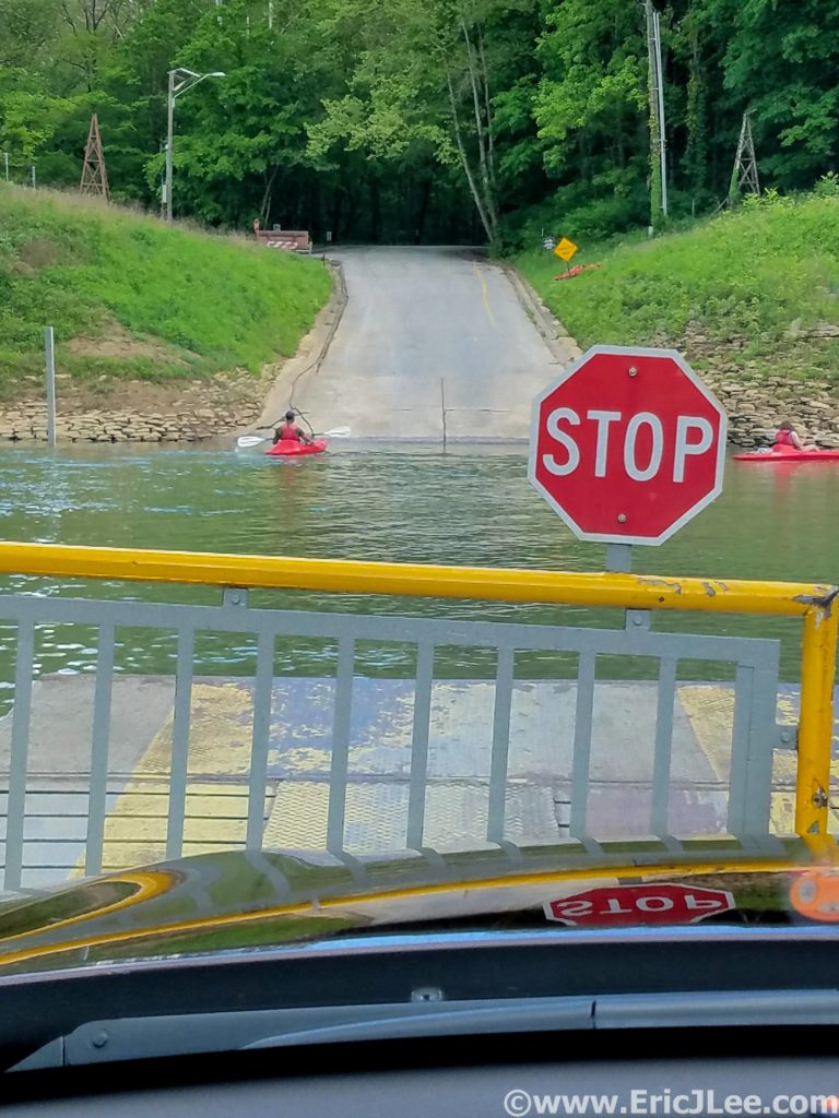
Riding the Green River vehicle ferry across, and me without my floaties.

This trip had been my first real exploration of Kentucky, and it further confirmed my belief that every single state has something beautiful and unique to offer. The rolling green hardwood forests are so unlike anything we have in the West it was a nice change of pace. While I could have done with a little less mud, I’ve never minded getting a little dirty on the run, sometimes you don’t get the perfect conditions, but that doesn’t mean you can’t have an amazing experience. The forests of Kentucky may not have the altitude or expansive views of some of the Western parks, but the beauty lies in much more subtle things. The millipedes crossing the trail, a heron flying across First Lake, unexpected caves dotting the hillsides or simply the ability to get lost in the forest for hours and only see a handful of people.

Sunlight trickling through the leaves of Mammoth Cave NP.

Now on to what brings most people to central Kentucky, the underground labyrinth that is Mammoth Cave….and it sure is mammoth! With a history dating back 1000s of years (to early Native Americans), Mammoth Cave was a known entity long before the Europeans arrived to exploit it. It wasn’t until the mid 1800s that people really began to explore the cave (Stephen Bishop) and cave tourism began to form. Mammoth Cave became a National Park in 1941, and now to visit the caves most people must participate in one of many organized cave tours. While I was not fortunate enough to get on one of the ‘Wild Cave tours’ (reserve early!, includes crawling and scrambling) I did get onto three different tours into very different parts of the cave. In the following paragraph I’ll describe the three tours I took and what I liked/disliked about them. Cave tour reservations can be made here.

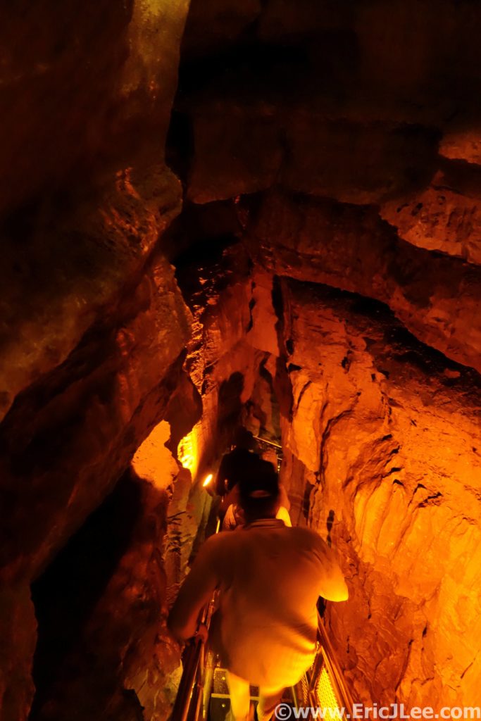
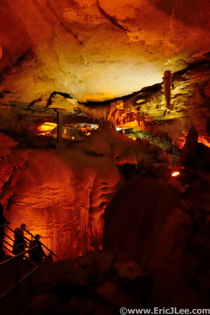
The first tour I got on was the ‘Domes and Dripstones tour’ that enters through the New Entrance, which is essentially a dynamite blasted hole into the cave. From this entrance one descends straight into the heart of the cave down a very steep narrow set of stairs. You get a sense of the size of the size of the massive domes where water seeps into the cave and underground rivers. The tour then winds through a variety of passages ending at the Frozen Niagara formation, one of the few formations in this section of the cave. While interesting and beautiful, it was my least favorite tour as it’s a very large group and moves pretty fast, giving one less time to enjoy sections of the cave.

Descending the steep stairs down from the New Entrance deep into Mammoth Cave.
The Frozen Niagara formation in Mammoth Cave.

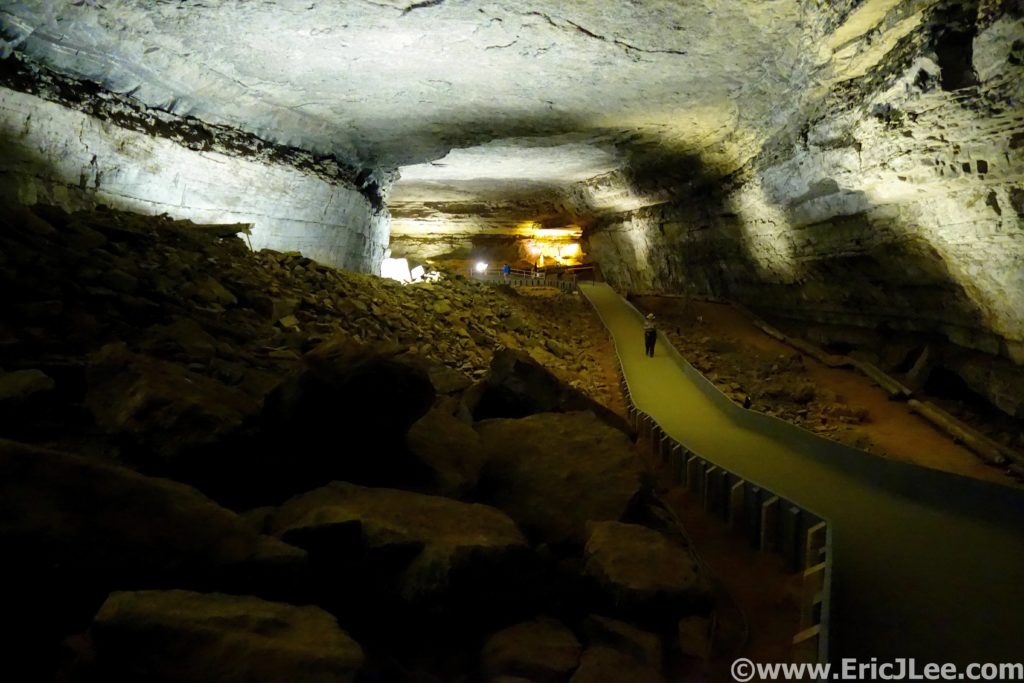
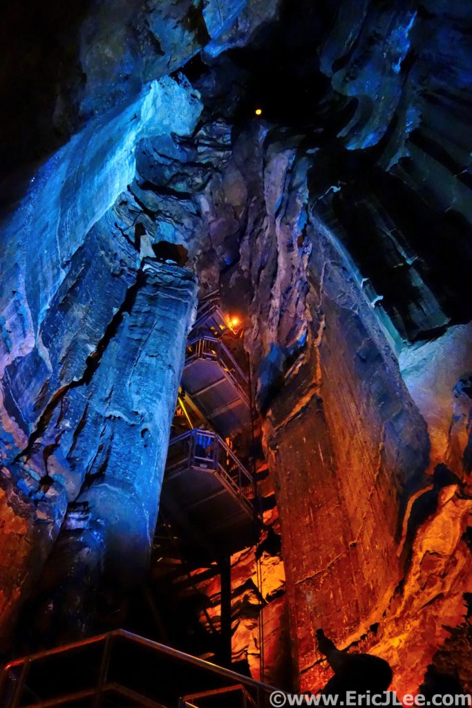
The second cave tour I took was the ‘Historic Tour’, this one enters through the original historic entrance in the center of the park. The initial passageways are massive, quickly letting one understand why people call it ‘Mammoth’. You then learn a good bit about the history of the cave, from early Native Americans to the salt peter mining and tourism of the 1800s. The walking tour then crosses the Bottomless Pit and into Fat Man’s Misery, a narrow section of passageway (all walkable, with a slight crouch). I found the Historic Tour more interesting than the Domes and Dripstones, partially because of the history, but also because you got a much better sense of the size and variety the cave offers.

The main hallway in Mammoth Cave is pretty darn big.
Looking up one of the giant silos in Mammoth Cave.

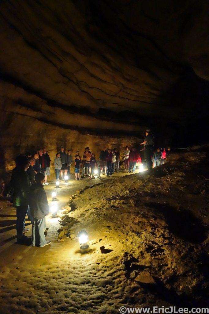
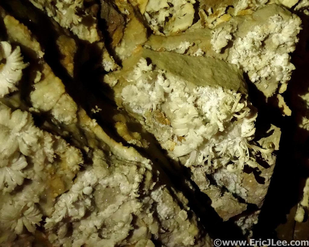
The last tour I took was the ‘Great Onyx Cave’ tour, part of the Flint Ridge cave system that as of this writing does not connect with the rest of Mammoth Cave (but is believed to). As we passed through the damp entrance, careful not to step on the cave salamanders (cool!) we quickly emerged into a room adorned with cave formations (drapes, columns, stalagmites/stalagtites, flow stone). As our small group of 20 slowly made our way deeper into the cave by lantern light the cave slowly dried out and the formation disappeared. Replacing the flow stone formations were delicate gypsum crystals, some of them assembled into the most beautiful gypsum flowers I’ve ever seen. While we didn’t cover as much cave passage on this tour I found that the time allotted allowed us to better appreciate the cave and the formations, as did the smaller group size. This was by far my favorite tour of the day.

Wandering Great Onyx Cave by lantern light.
Delicate gypsum flower formations in Great Onyx Cave.

It may be becoming cliché, but my National Parks project is taking me to areas of the country I otherwise may have never visited and explored. The rolling green hills of Kentucky and the always fascinating underground world of the cave truly exceeded my expectations. The US National Park system is not just a collection of big mountain landscapes or desert canyons, though those get most of the attention. Mammoth Cave is definitely worth exploring, both above ground and below. Because it’s the world above (the rain, the rocks, the ecosystem) that make the caves what they are. As always, special thanks to Vfuel for powering all my crazy ideas and adventures and to our National Park System for preserving such amazing places for all to see and experience in a responsible manner. Next up….Badlands National Park and Wind Cave National Park!