We threw up our hoods, put our heads down and leaned into the wind as we left the Alpine Visitor Center. The wind ripped across the Continental Divide and we ran, partly to make good time, partly to stay warm. An already challenging route promised to be extra challenging on this day.
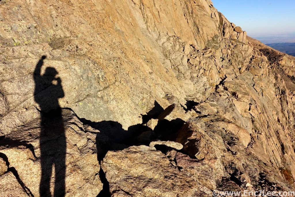
Twelve years after running my first National Park ultramarathon in the Grand Canyon I still hadn’t completed my Rocky Mountain National Park (RMNP) ultra, despite it being my home park. I’d spent a lot of time debating the best route, settling on a ridge traverse through the park’s interior. The difficulty of the route was that almost the entire route was above treeline, holding snow late into the summer and being exposed to thunderstorms for most of the summer. My friend Ben and I picked a nice clear crisp September day (9/22/19), the one factor we didn’t count on was the wind. As we traversed the Ute trail along the Continental Divide a bone chilling wind howled from the NW.
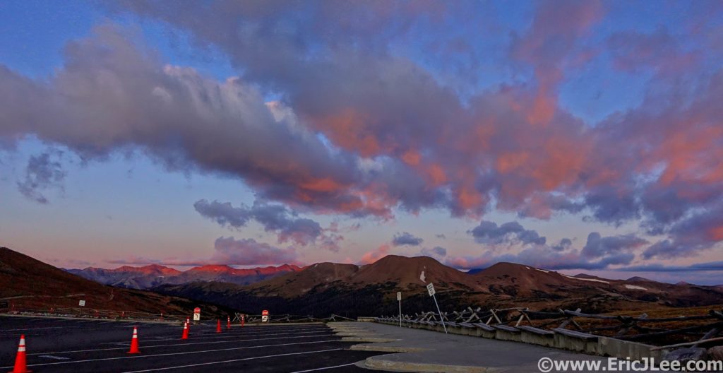
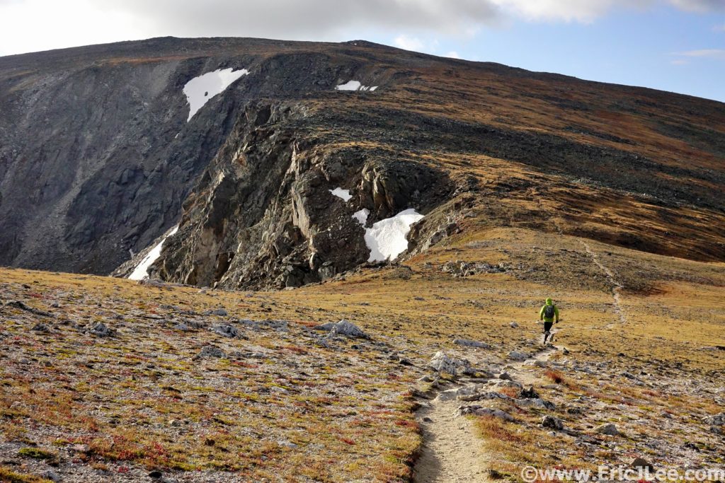
We soon bailed off the trail and onto the ridge proper, where we’d stay for most of the day. As we made our way to Mt Ida, the first summit of the day, we had to duck onto the East side of the ridge to warm our hands and put on all our layers. The wind chill was brutal, and we could barely feel our hands and face. We trudged our way up and over Mt Ida to Chief Cheley (2:11, 7.3mi). Lake Azura and Highest lake were still crusted in ice and the views of the park were phenomenal. This section of the park is one of the most remote and seldom visited, miles from any trailhead and the nearest trail. We put our heads down and continued our trudge into the wind.
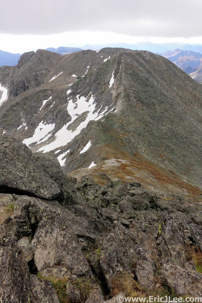
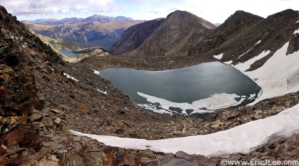
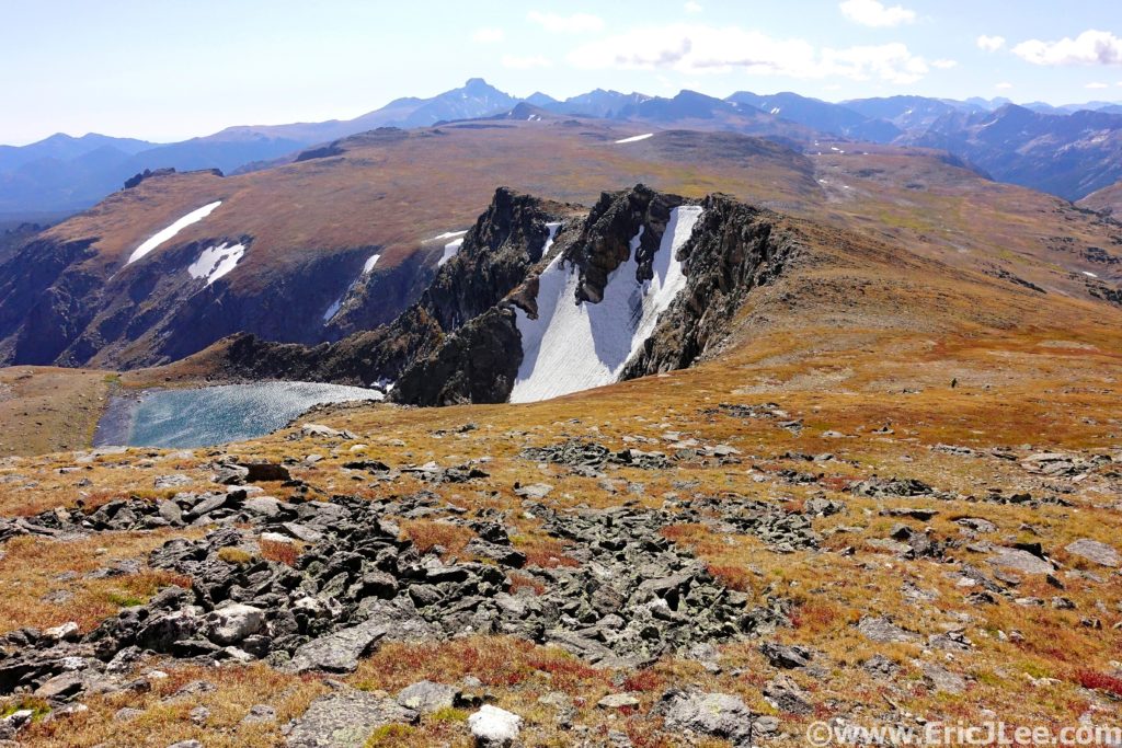
I tagged Sprague Mountain, Gabletop and Knobtop before finally reconnecting with the Flattop mountain trail (5:35, 15.6mi). Ben opted to bail off Flattop back to the car, as the wind was getting worse and there was uncertainty whether the route would go under the conditions. Solo, I crawled my way up Hallett and Otis, barely able to stand without being blown over. As I huddled in the wind block atop Otis peak, I debated my options….. Push on to the technical part of the route (the Class 5 McHenrys Notch), bail down the long East ridge of Otis Peak or return back the way I’d come to the Flattop mountain trail. Being over halfway across the traverse I opted to push on and try my luck.
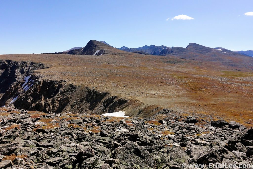
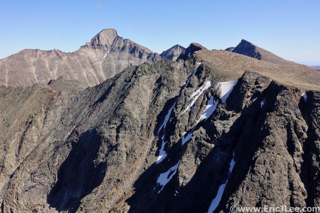
On the long slog up Taylor Peak (the first 13er of the day) my legs were starting to feel heavy, but the wind was actually lessening. From atop Taylor Peak (7:21, 19.1mi) I peered down on Skypond far below, and for the first time all day it looked as though the traverse would actually go! The traverse over to Powell Peak went slowly, but soon I found myself on the summit staring down the SE couloir, ready for the fun to begin. I descended a little over 200ft and located the grassy ledge system to skier’s left that would allow easy passage to McHenrys Notch. From McHenrys Notch the route is obvious, but far from easy. Directly across the Notch are two vertical Class 5 gulleys that lead to the NW ridge of McHenrys Peak.
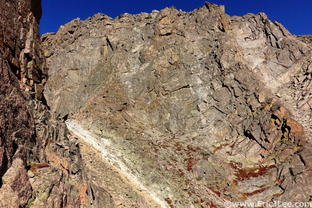
I scrambled my way up the lefthand ledge system to the broad ledge on the South side of the peak, and finished the easy traverse over to the summit of McHenrys Peak (8:39, 21.3mi). It felt great to have surmounted the crux, until I looked across Glacier Gorge at Longs Peak, oy vey, I still had a long way to go. I picked my way down through the talus field to Stoneman Pass (not the low point, but the first notch) and descended into Glacier Gorge. This would be the only time I descended into the valley. Glacier Gorge (especially the upper section) is an absolutely magical gem and one of the most iconic hiking destinations in all of Rocky Mountain National Park. Sheer granite faces surround one on all sides, Arrowhead and Spearhead jut abruptly out of the middle of the valley and numerous alpine lakes have carved out depressions amongst the barren white landscape.
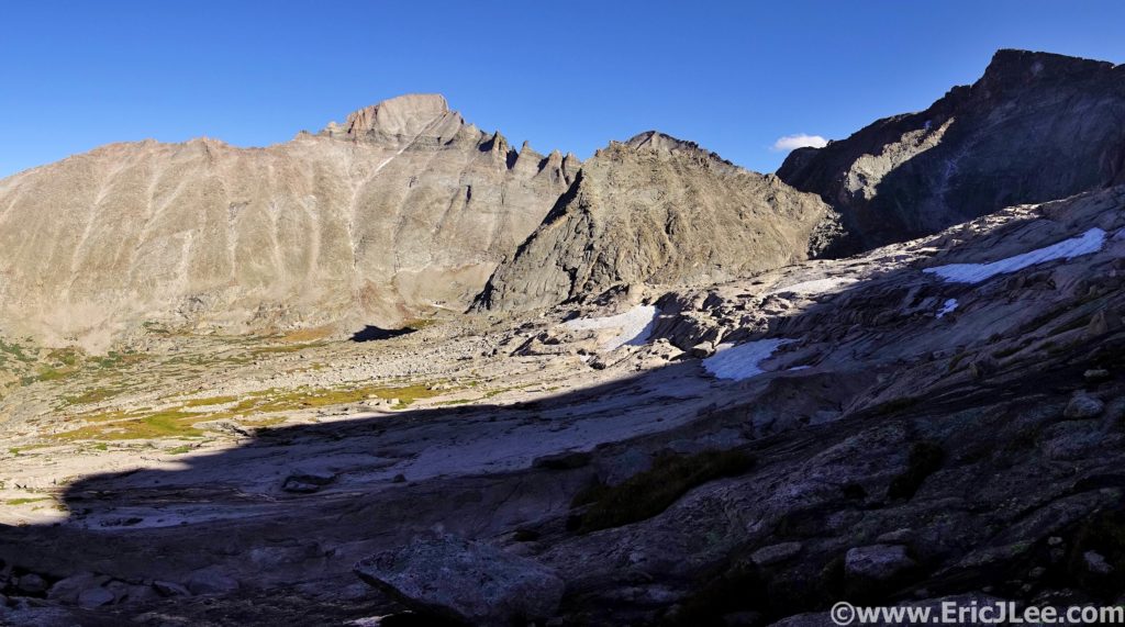
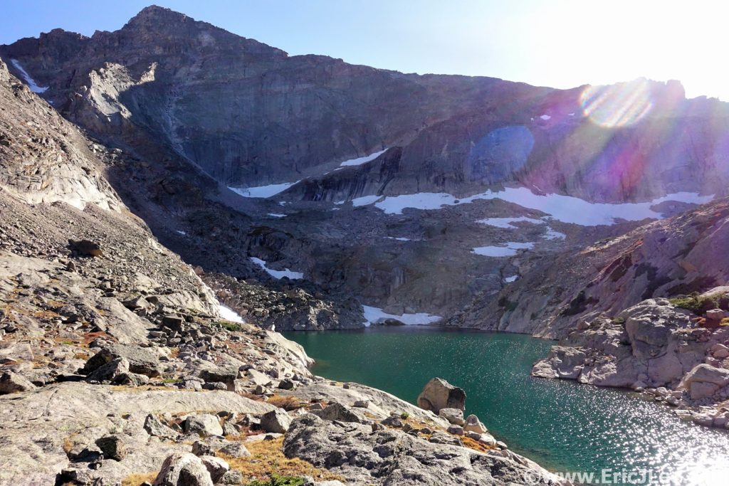
I refilled my water in one of the side streams, crossed over the head of Frozen Lake and made my way to the base of the Trough, a 2500ft gulley that swoops its way from Glacier Gorge up to the West face of Longs Peak. I felt like death as I crawled my way up through the talus and slabs just climbers right of the gulley. Time seemed to be passing in slow motion, 100 vertical feet at a time. At last I pulled myself through the windy notch at the top of the Trough and out onto the Narrows. For as many times as I’ve climbed Longs (30?), this was the first time I’d been on the Keyhole route in non-winter conditions alone. I pulled myself up the Homestretch and onto the summit block (11:16, 24.4mi), collapsing with exhaustion, but also with a smile on my face. It was 6:15pm, I was the only person on the summit, the wind had stopped, and long shadows draped themselves across the park.
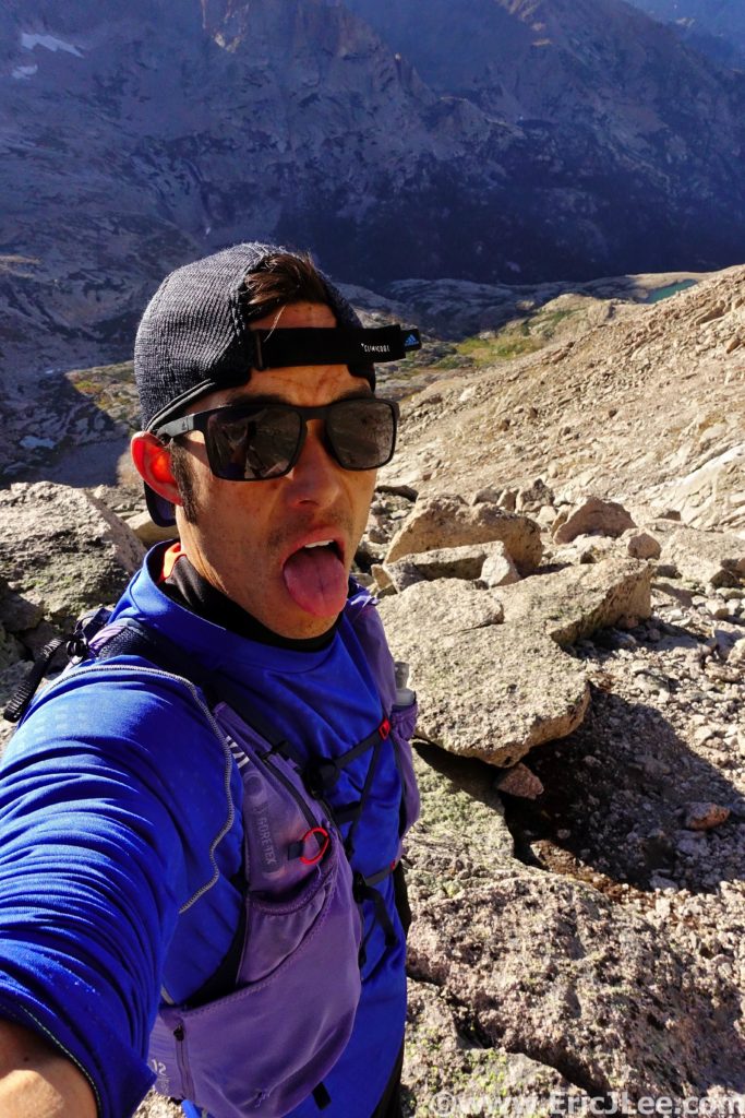
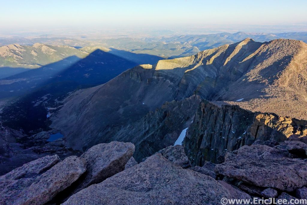
After taking a few long breaths in, I knew I had to get moving, sunset was only an hour away, and I wanted to be below the Loft before it got dark, so back down I went, dropping down Keplinger’s couloir, ascending up past Clark’s Arrow and into the Loft between Longs Peak and Mt Meeker. I summitted Mt Meeker just as the final rays of warm sunlight disappeared over the shoulder of Pagoda Peak (12:04, 25.6mi), bathing the talus in a soft orange glow. I took off at a fairly rapid pace down through the talus, in search of the climbers ledge that would lead below the cliffs. As the light began to fade, I started to panic a little bit as I hadn’t reached the climbers trail yet, but luckily, as the last bit of daylight turned to darkness I spotted the trail just below me. Once on the ledge I knew I would be able to navigate myself back down to trail, and in the end the Longs Peak Trailhead.
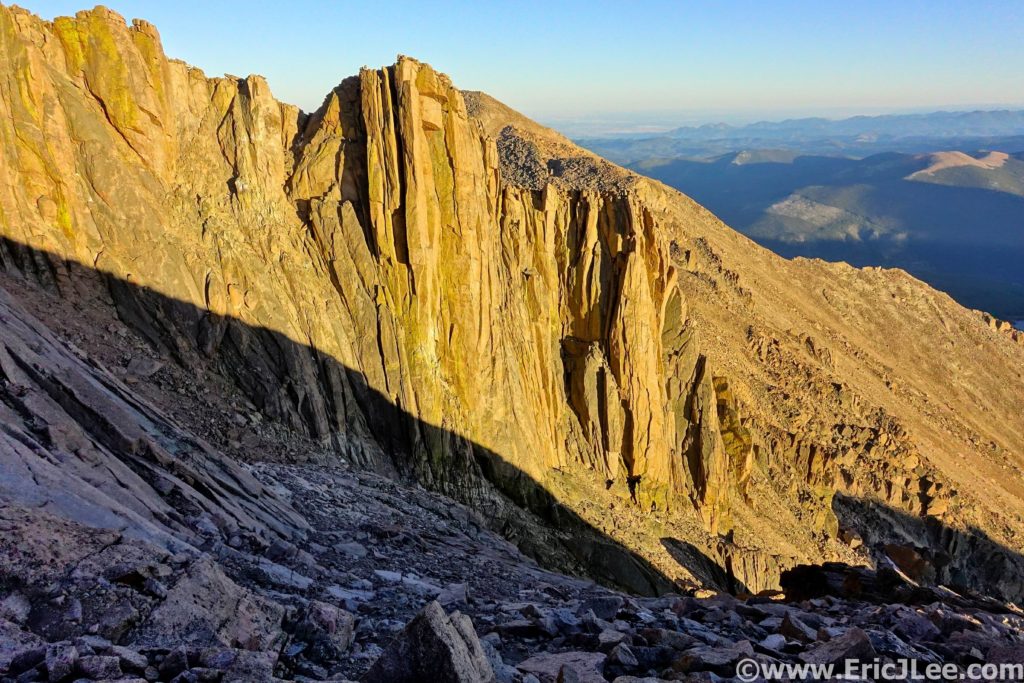
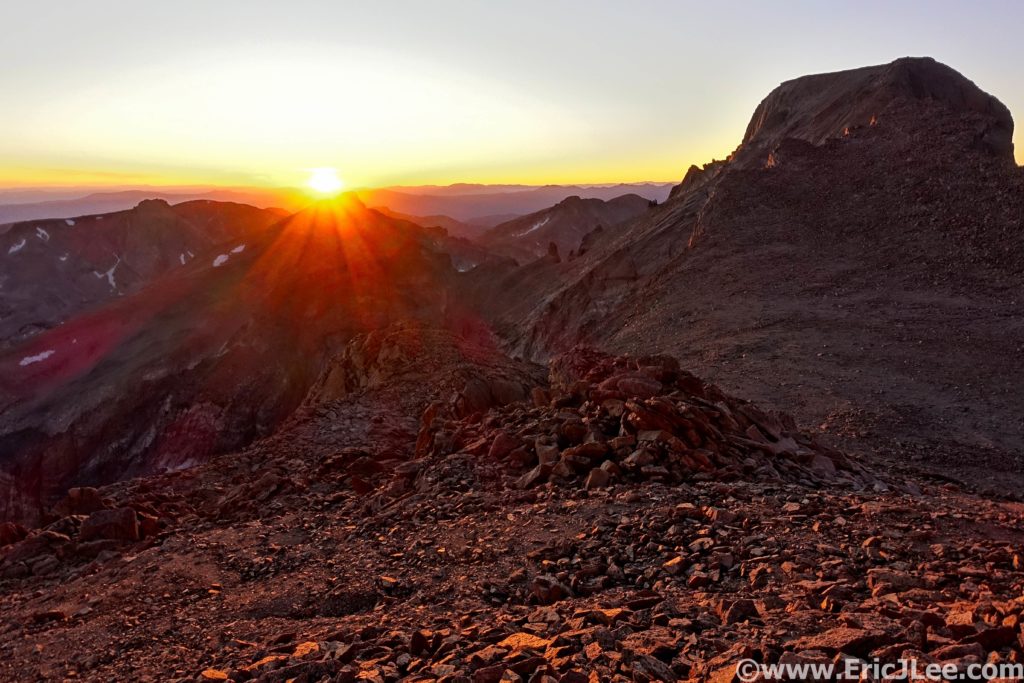
Progress was slow as I picked my way down the Class 3 slabs and into the talus below. Once I reached the trail in Chasm meadow I was finally able to jog again….it had been over 13miles since I’d last been on trail, so being able to slowly jog felt wonderful. Tired, beat down and totally satisfied I took my time jogging down the Longs Peak trail back to the trailhead. At 8:45pm, 13:46 after leaving the Alpine Visitor center early that morning I stumbled my way onto the pavement, sat on the bench and hung my head in exhaustion. I had only covered 30.6mi and 12000ft of vertical gain, but it had taken 13h46min and I was worked.
At first glance Rocky Mountain National Park may look just like the rest of the Colorado Rockies, but for those with the time and energy to delve a little deeper into it’s depths, the rewards are some of the most stunning scenery anywhere. From the 2000ft high Diamond of Longs Peak to the glacial carved valleys of Glacier Gorge, Sky Pond and Dream Lake to the deep forests teaming with wildlife of the North Boundary; RMNP has it all. I chose my route because it showcased some of the most remote sections of the park, the high alpine terrain, the crystal blue lakes, the glacial carved valleys and of course Longs Peak in all her majesty. There are countless number of adventures within the park, but for me this route offered a taste of all the best. For those looking for something less committing I highly recommend the hike to Glacier Gorge and Mills Lake, Dream Lake and Emerald Lake and for those with summit fever and some scrambling skills Longs Peak.
This route, being a point to point was not possible without the help of a couple of good friends. So a special thanks to Michael Hodges from McGregor Mtn Lodge for helping with the car shuttle and to my friend Ben for the company on the first half of the loop and for waiting patiently at the end for me to slog my way home. And as always a special thanks to Vfuel for keeping me trudging along through such crazy adventures. My RMNP traverse was National Park Ultra #20, and I completed #21 only 3 weeks later in the Great Smokey Mountains. Even after all the time, suffering and misery I can say I’m super excited to see where this project continues to take me.
