“Welcome to Gressoney, in case you haven’t heard your race is canceled…” -Aid worker
“Excuse me, what?” -Me
Shock, disbelief, confusion…. even four days later I’m still trying to process everything that happened at the 2019 Ultra Trail Monte Rosa. But let’s start from the beginning…. May 2019, after losing out on both the Hard Rock and Tor des Geants lotteries I committed to the 2019 Ultra Trail Monte Rosa. A little known 170km run around the Monte Rosa massif in Switzerland. It’s basically UTMB on steroids…170km, 37,000ft of elevation gain, 30h course record, 60h cutoff…
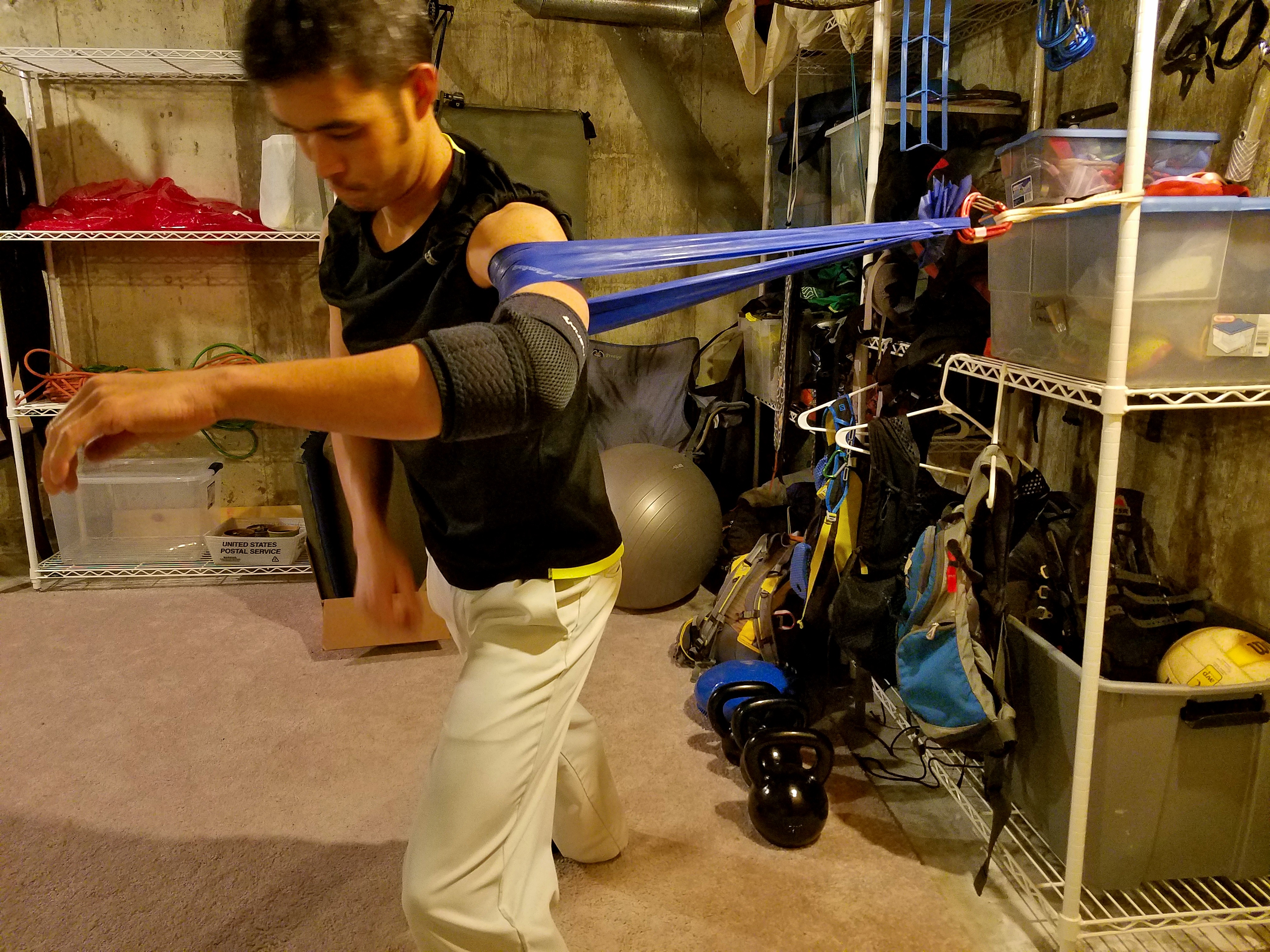
2019 brought unprecedented snow to Colorado, so my first trail race (San Juan Solstice) was canceled, then my replacement run (John Cappis) was shortened. Less than a month out from the race I recieved the unfortunate news that my company was laying off a large number of people, me included… well %*&@. Training hadn’t gone quite as expected, but I guess I’d have a lot of time to train and recover just before the race. After a lot of miles and all kinds of vertical (79,000ft of gain in August alone), I was feeling apprehensively ready to take on the race, though admittedly I was scared.
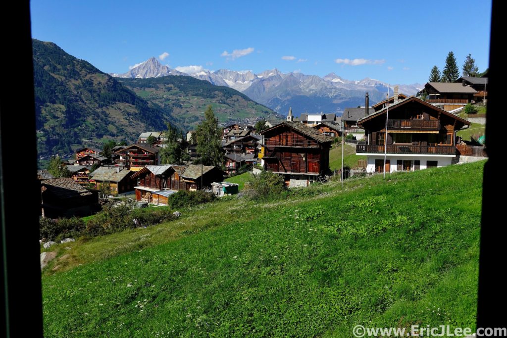
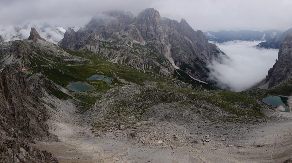
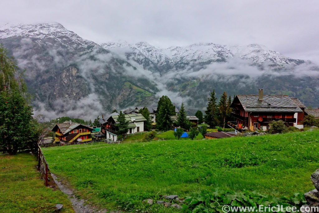
On August 23rd my friend Ellen and I hopped a series of planes to adventure; Denver-Salt Lake City-Amsterdam-Zurich-Ljubljana. After 10 days of traveling and play time in the Julian Alps and Dolomites (in a later blog) we made our way to Grächen to checkin and prepare for the races. The weather forecast for the races had progressively gotten worse, calling for rain and snow during night 1 and into day 2. We were warned to be prepared for changes and bad weather, ok can do, we had a whole assortment of mandatory gear we were going to get to use.
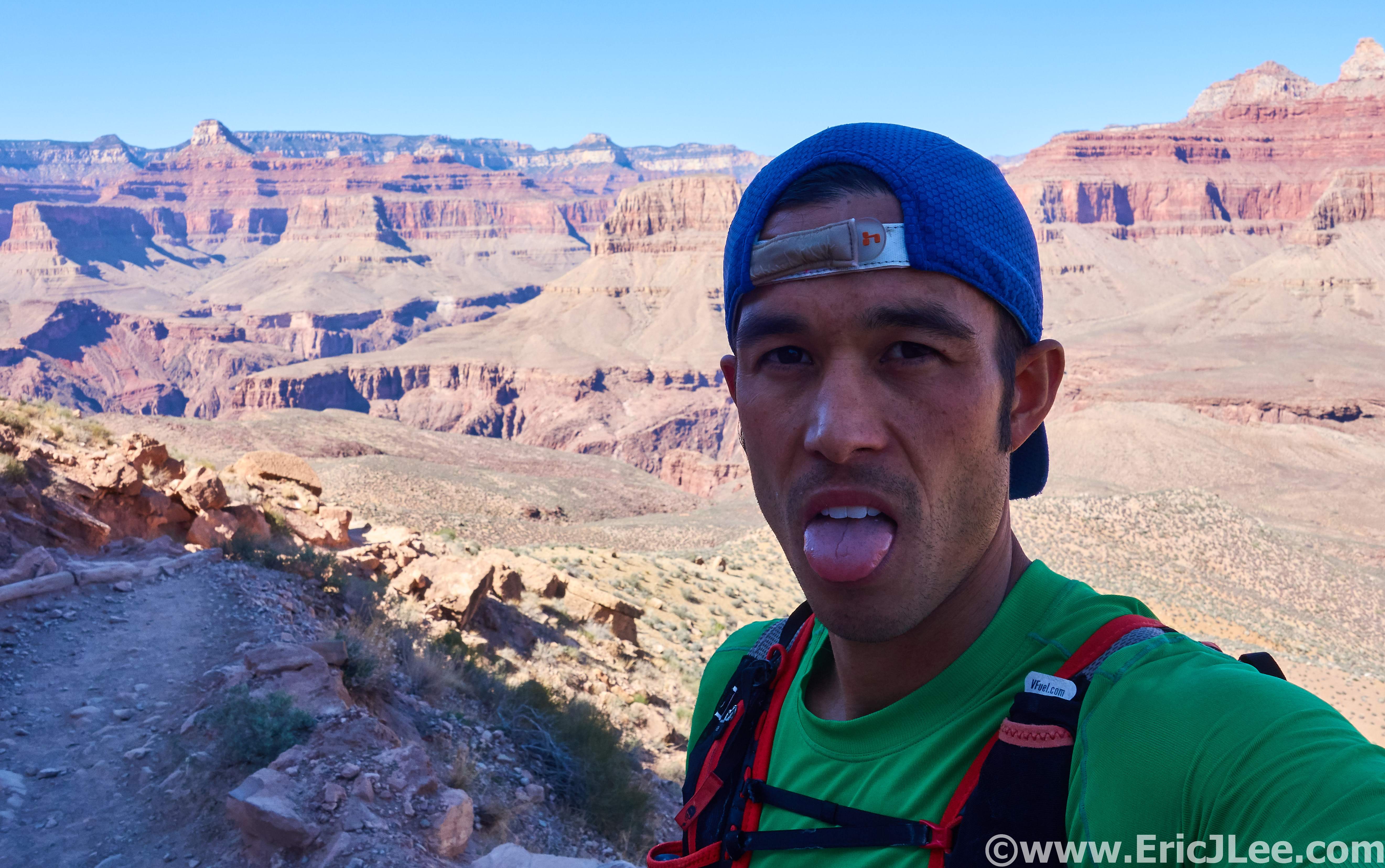
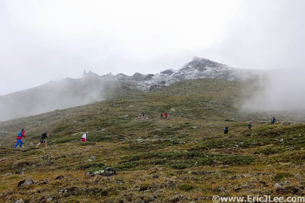
After the usual restless night of sleep the alarm went off at 3am Thursday 9/5 and last minute prep was made. We set off nervously from the start line into the foggy but pleasant and chilly morning. The pace started out fast as we cruised through the first 10km in an 1:15 to the start of the first climb, then up we went, 4300ft in just a few miles. I settled into a steady power hike, working my way up through the fast starters. The first light of day slowly began to percolate through the mist and fog as we neared the top of the climb and rolled into the Europahütte aid station (17.1km, 3:24)
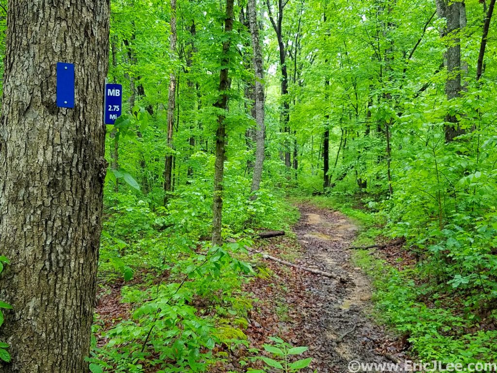
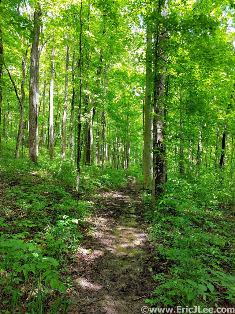
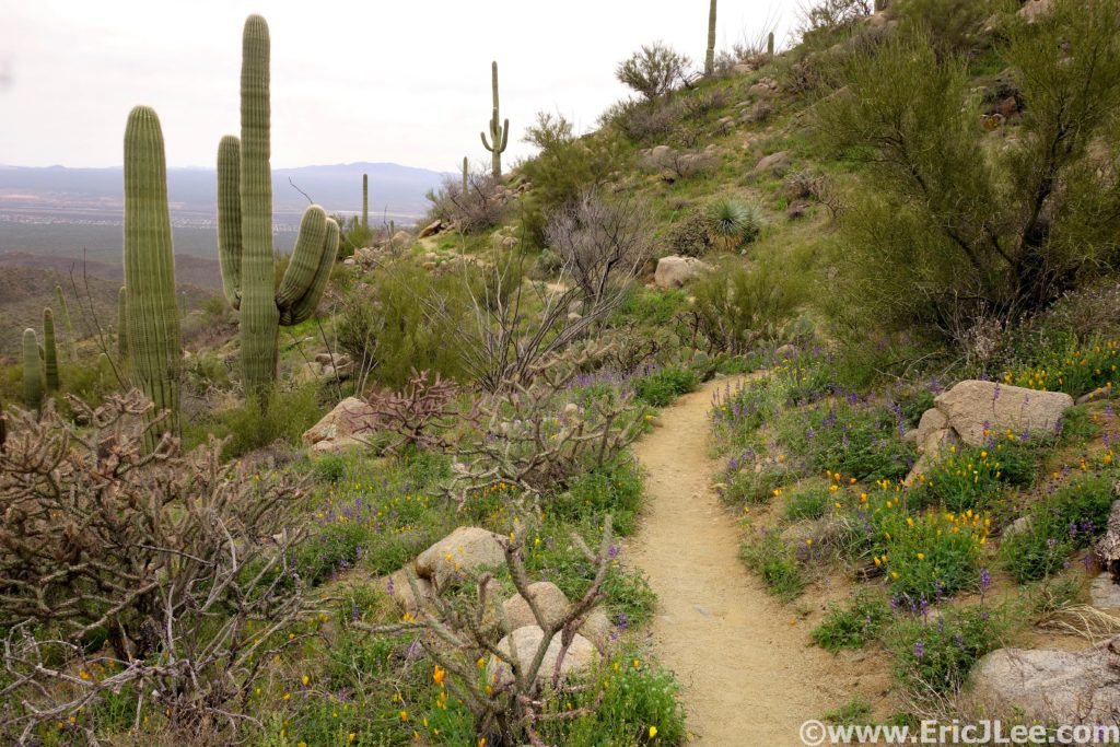
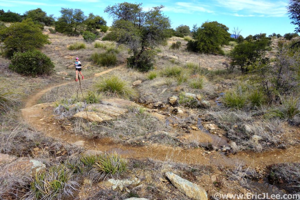
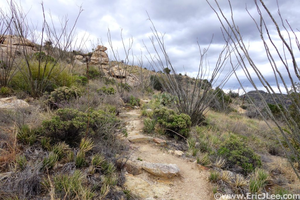
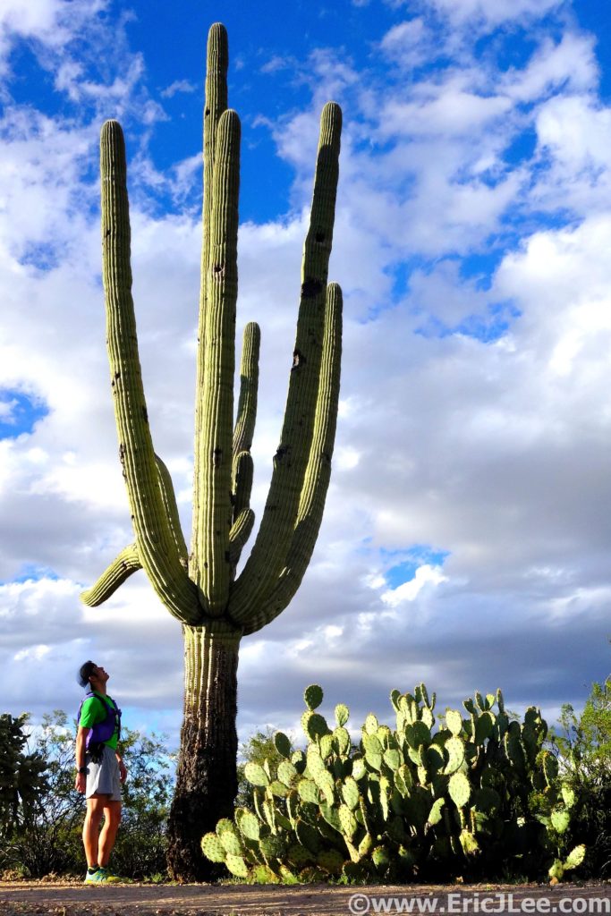
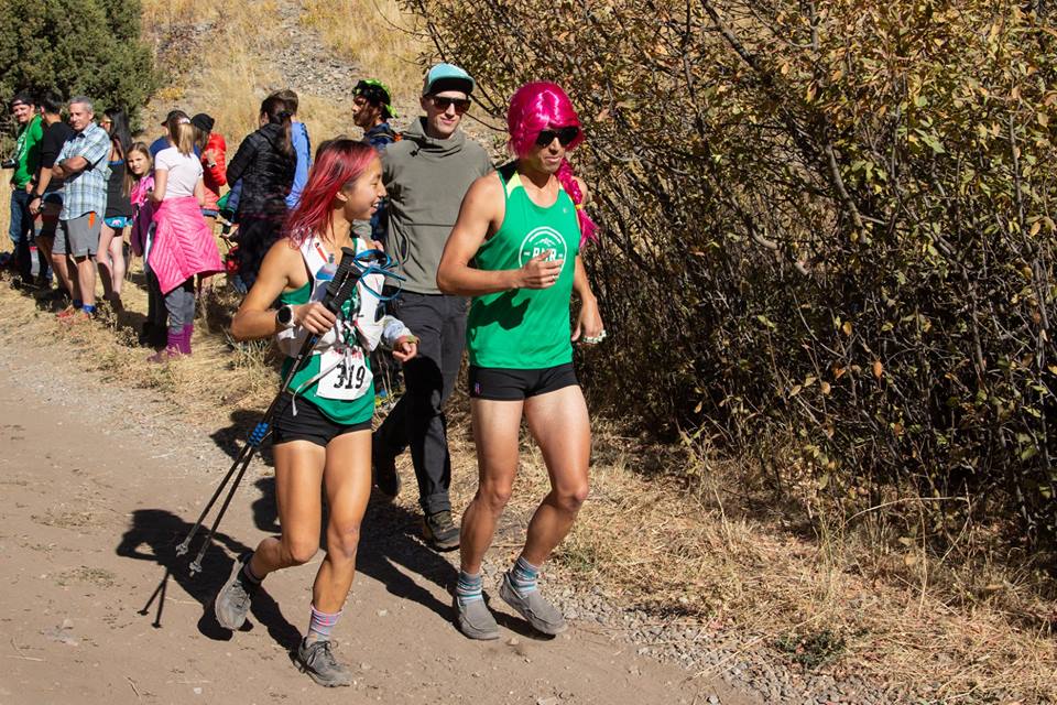
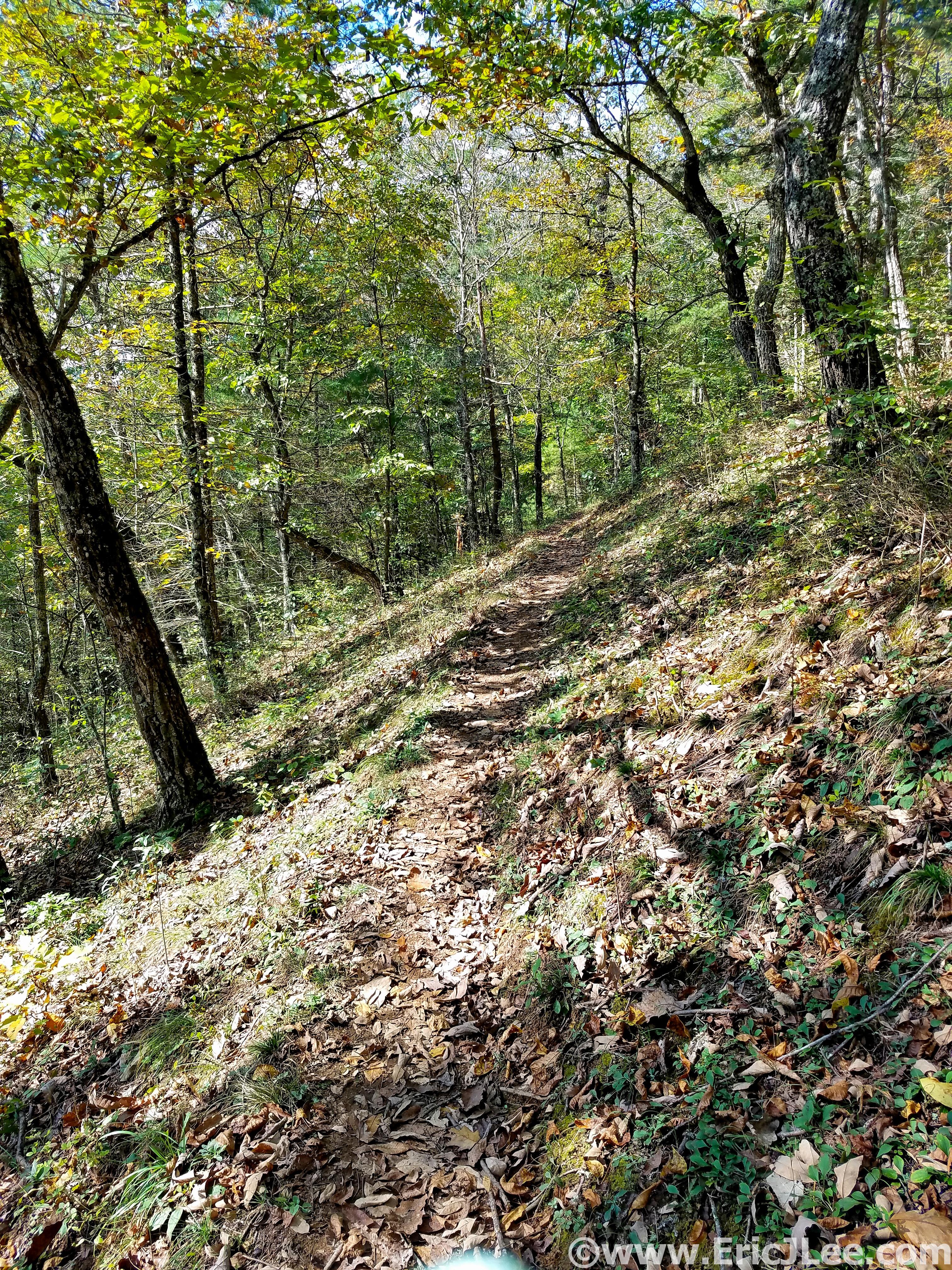
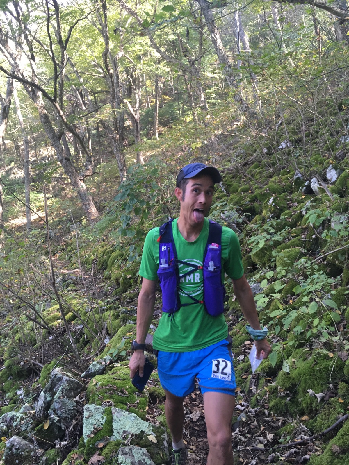
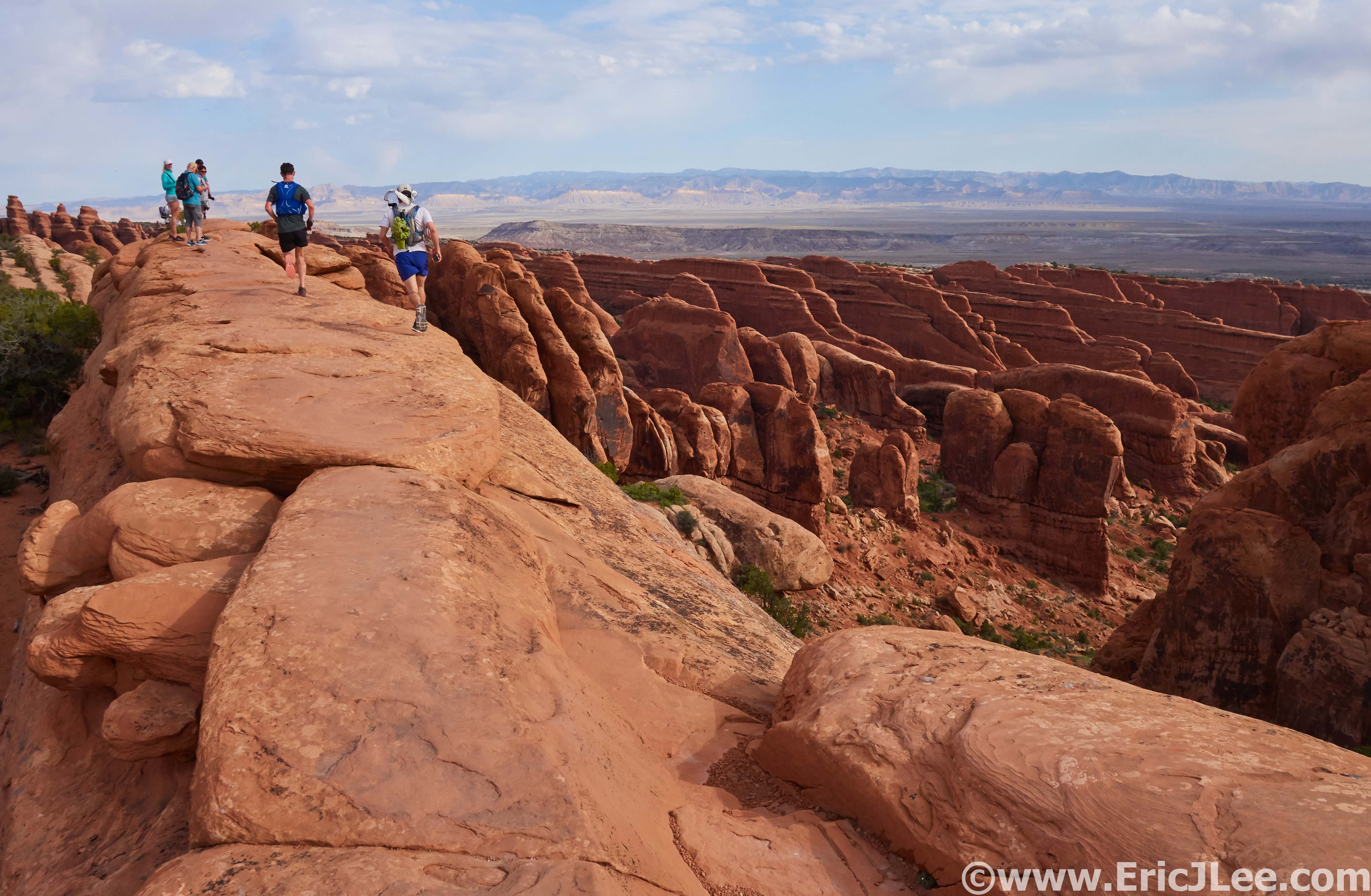
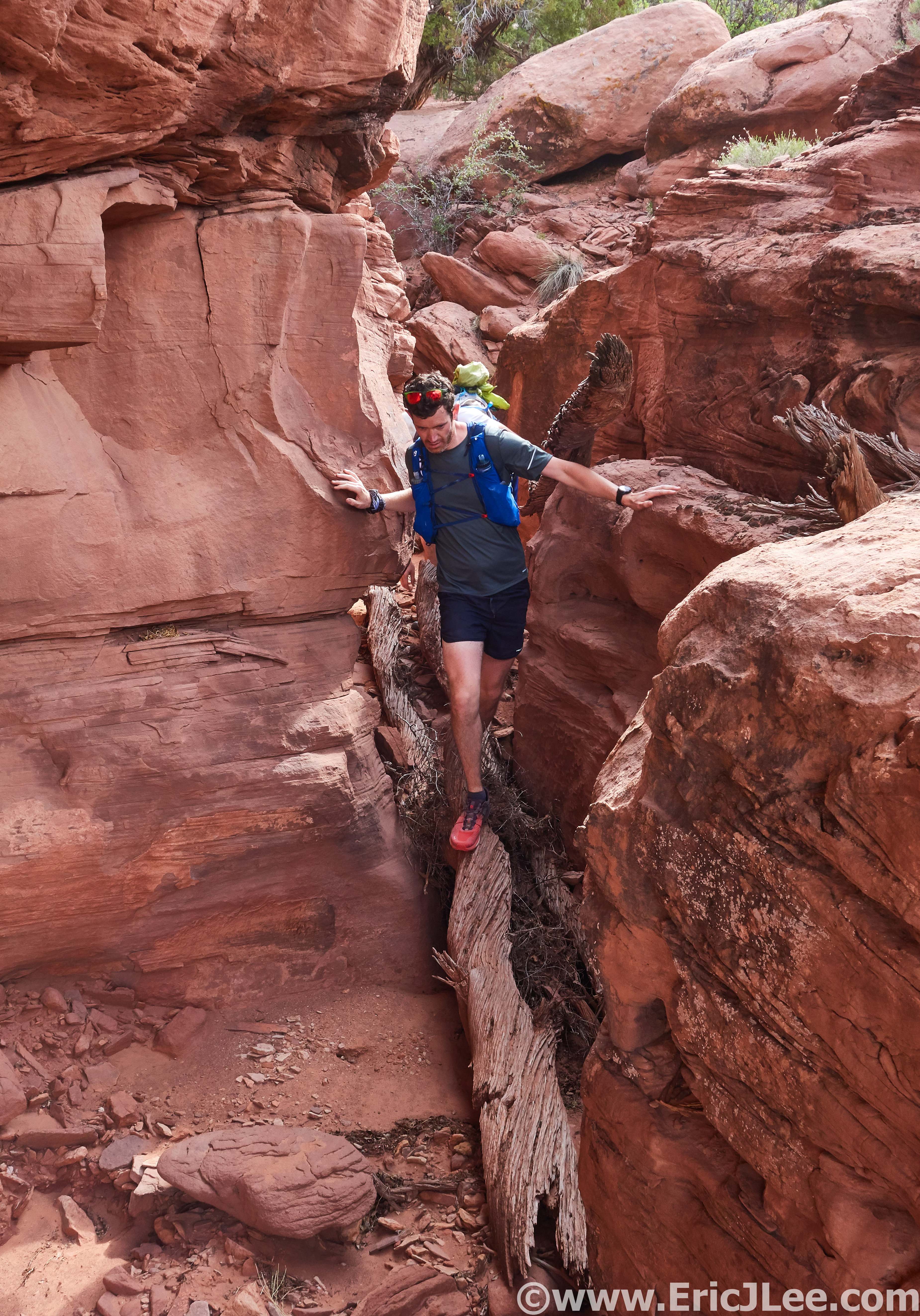
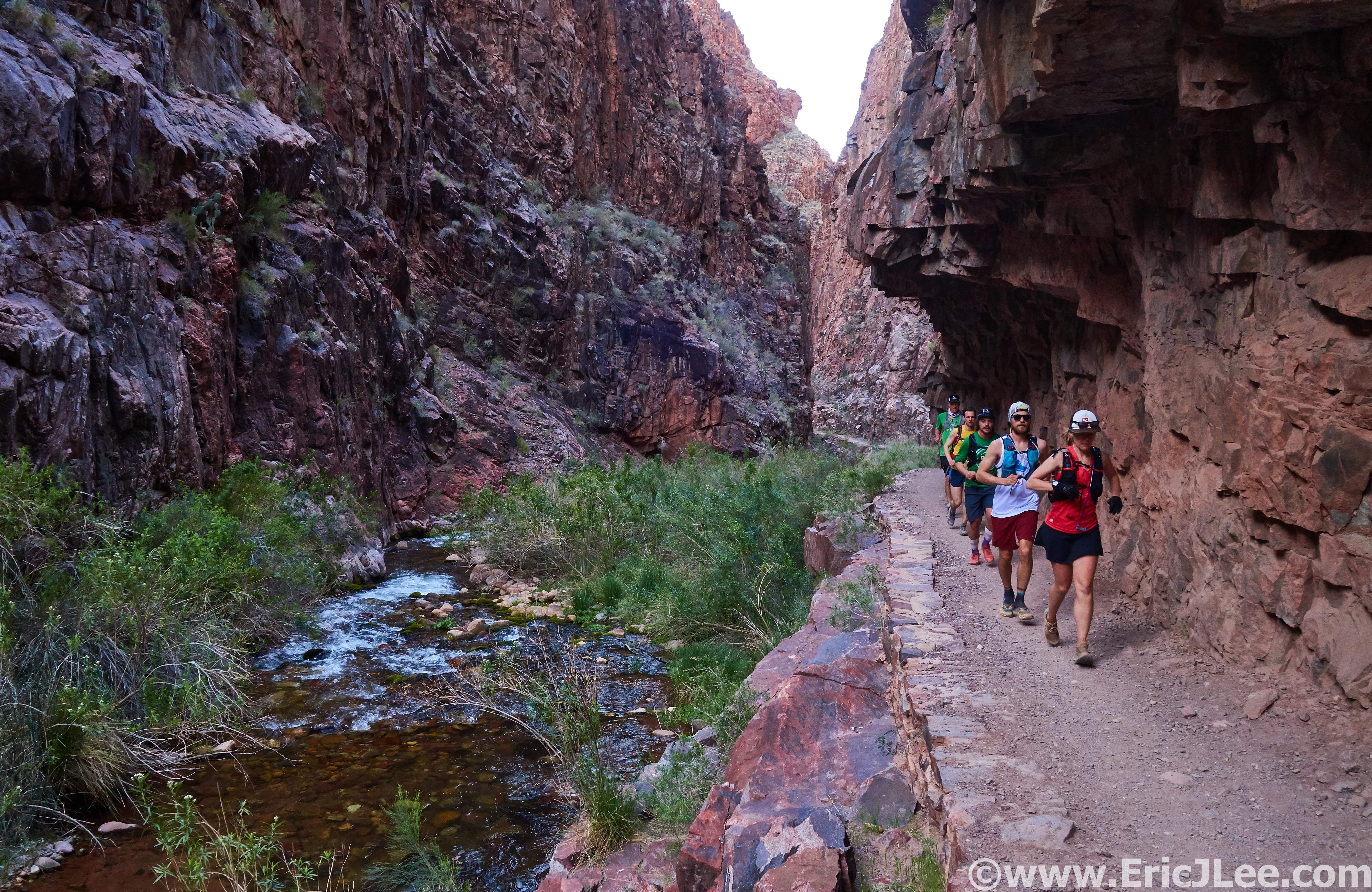
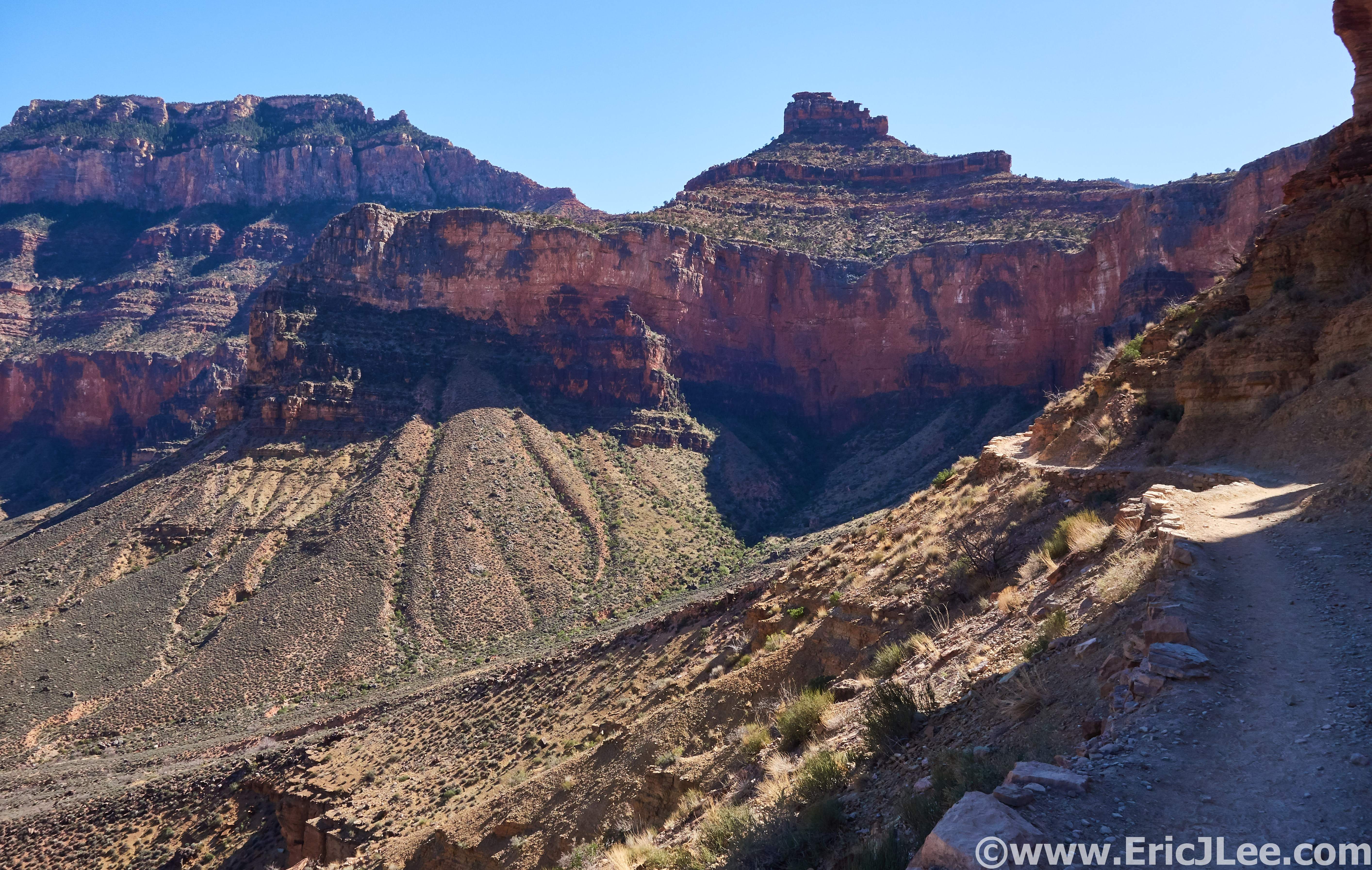
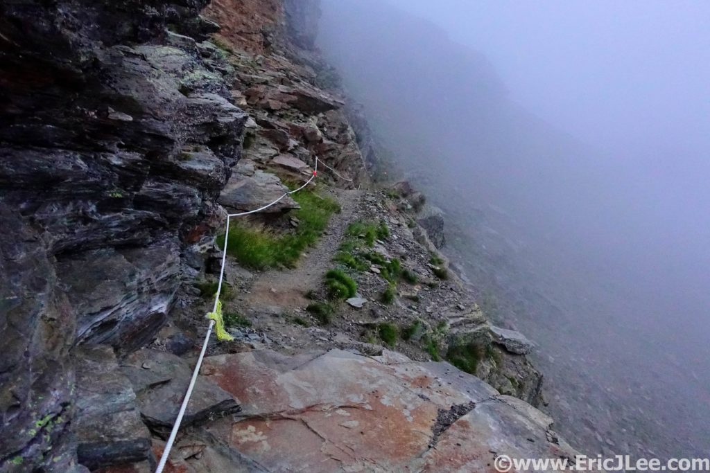
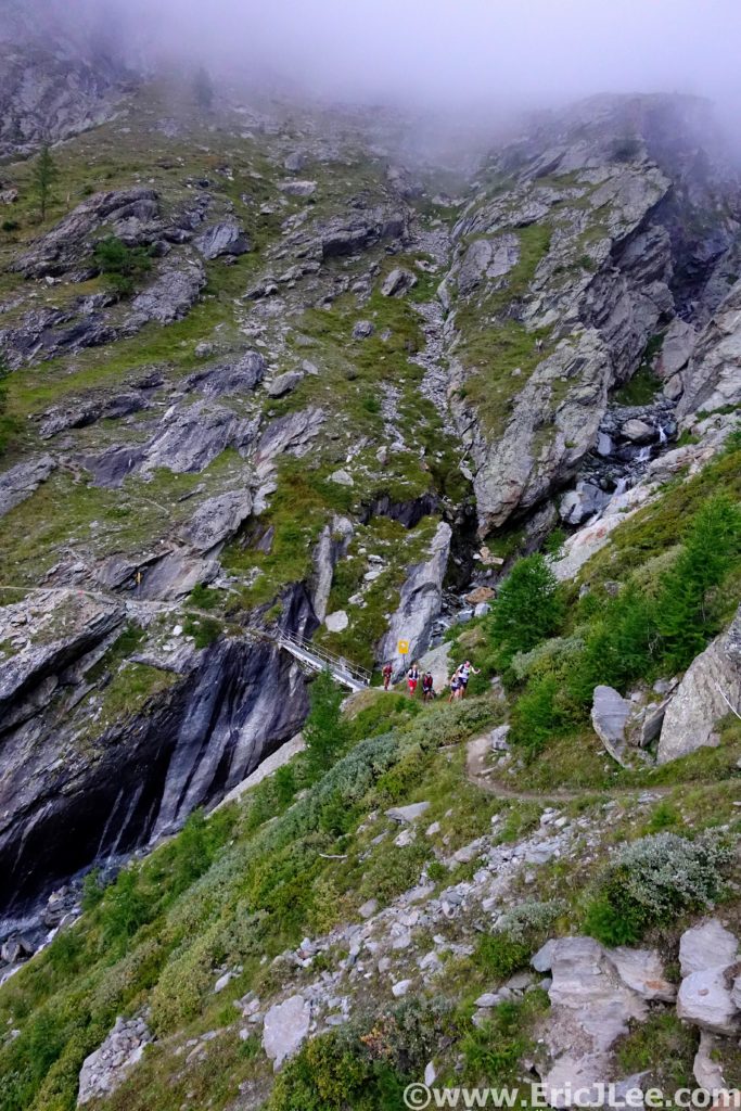
The next stretch was a narrow rolling traverse over to Taschalp. Some really cool single track cut into a steep hillside that had some runners nervous to run, but I found it awesomely fun (see photo). I was continuing to move up through the field, and cruised right through Taschalp (26.4km, 4:51) and on towards Zermatt. This next stretch was a blur as we rolled up and down, finally hitting the cruiser descent into Zermatt.

I was feeling good rolling into Zermatt (36.8km, 6:06), but had realized how much I’d underestimated the course, and there was a long way to go. At the aid station I calmly went about my business, and rolled on through, all packed up (microspikes included) bound for the Theodule glacier and the high point of the course. As I rolled through town I ran into Clare and Allister, it’s always nice to see friendly faces in random places.
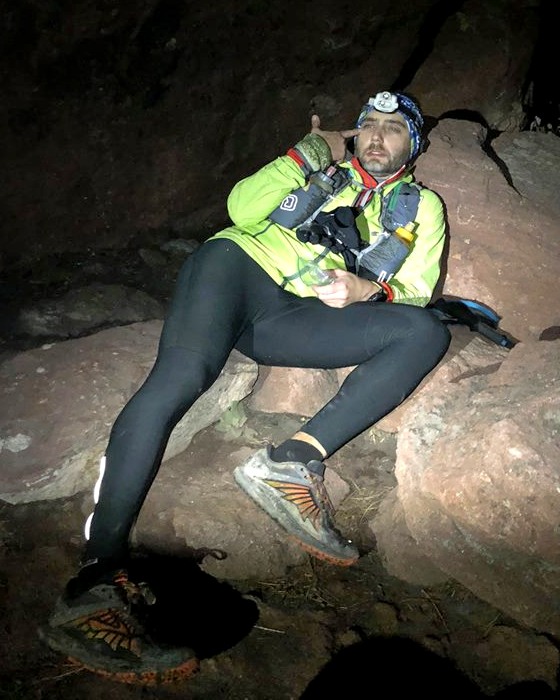
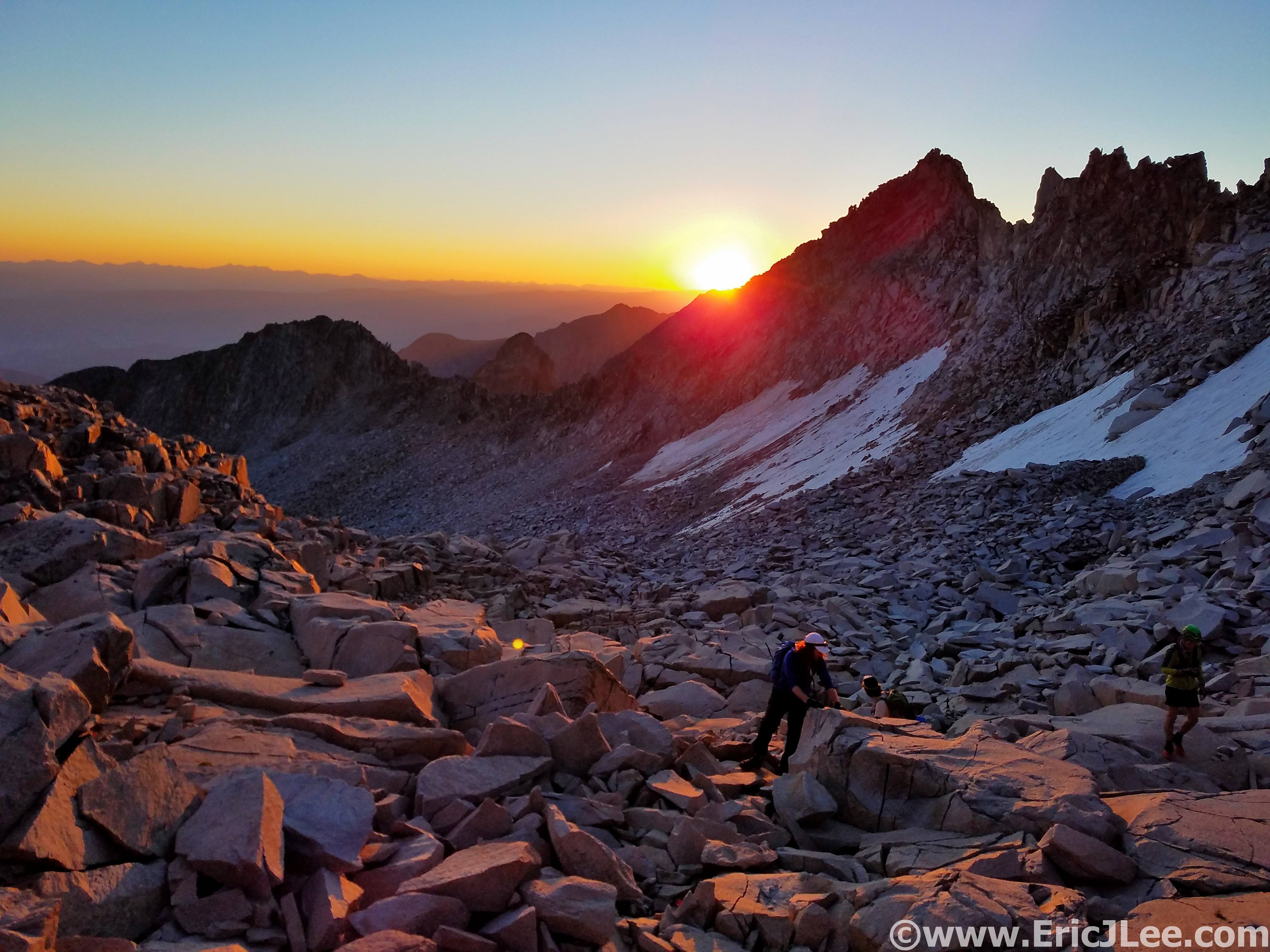
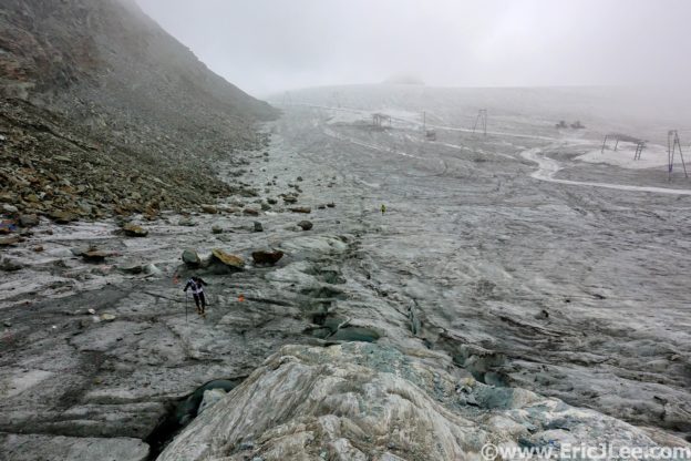
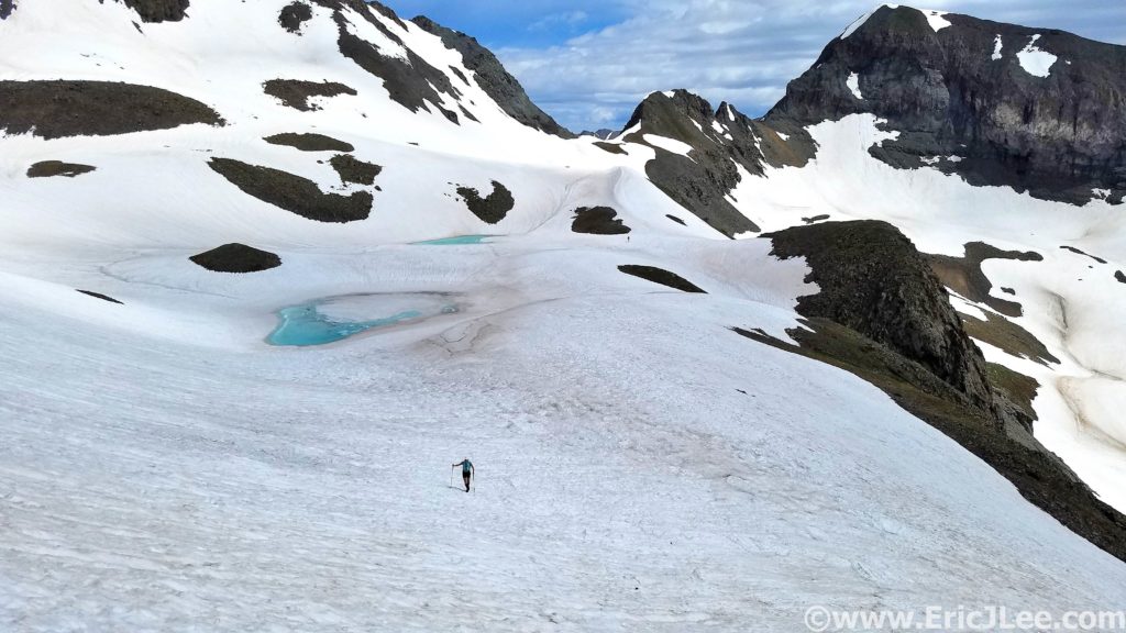
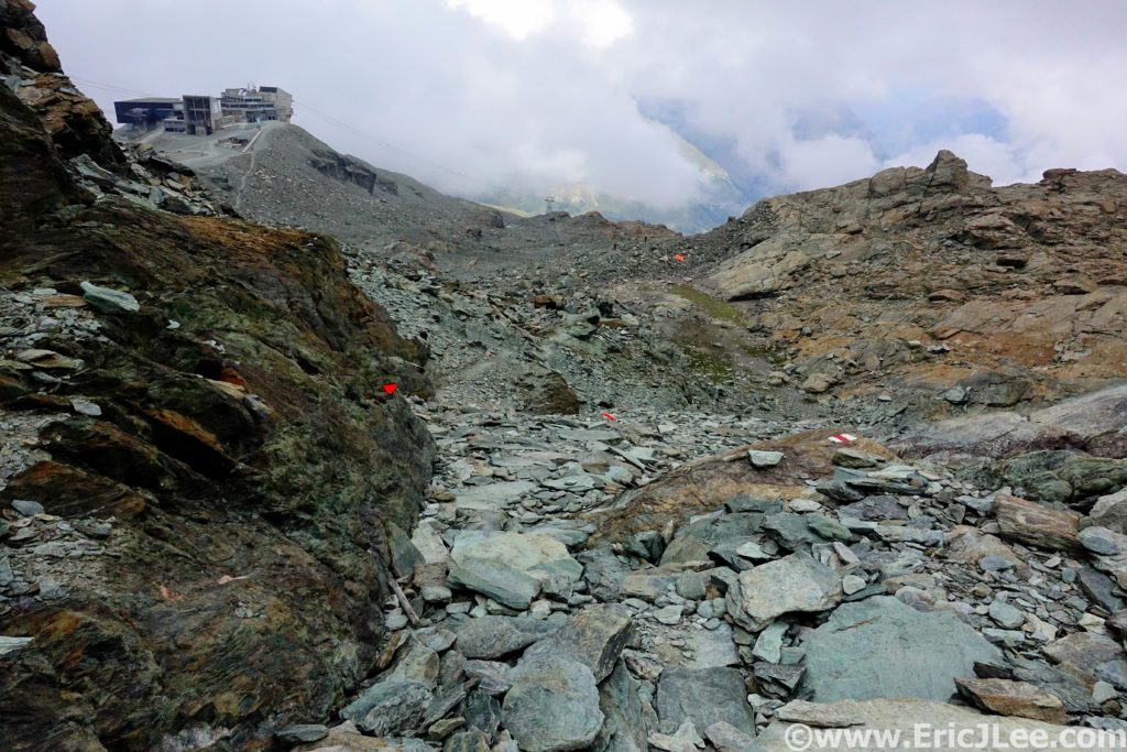
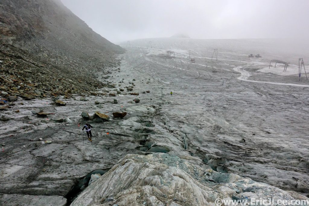
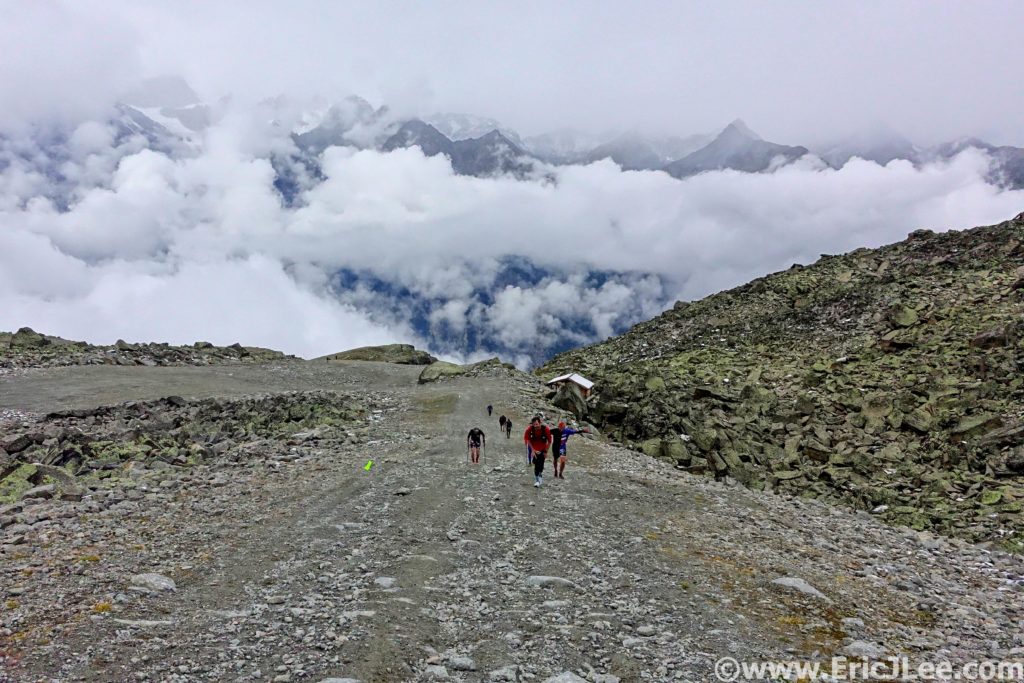
As I started the 1700m climb out of Zermatt I slowly drifted into the pain cave, dehydrated and fuel deficient. I spent the next hour trying to put myself back together and took a few extra minutes at Gangehütte (46.9km, 8:34) taking care of myself. Then I cruised up to the glacier, donned my microspikes and off we went across the ice. The fog dropped in, the temperature dropped and for the first time in 9h I got to use my jacket. We soon found ourselves at the high point of the course, Theodule pass, 3300m high (49.2km, 9:22)!
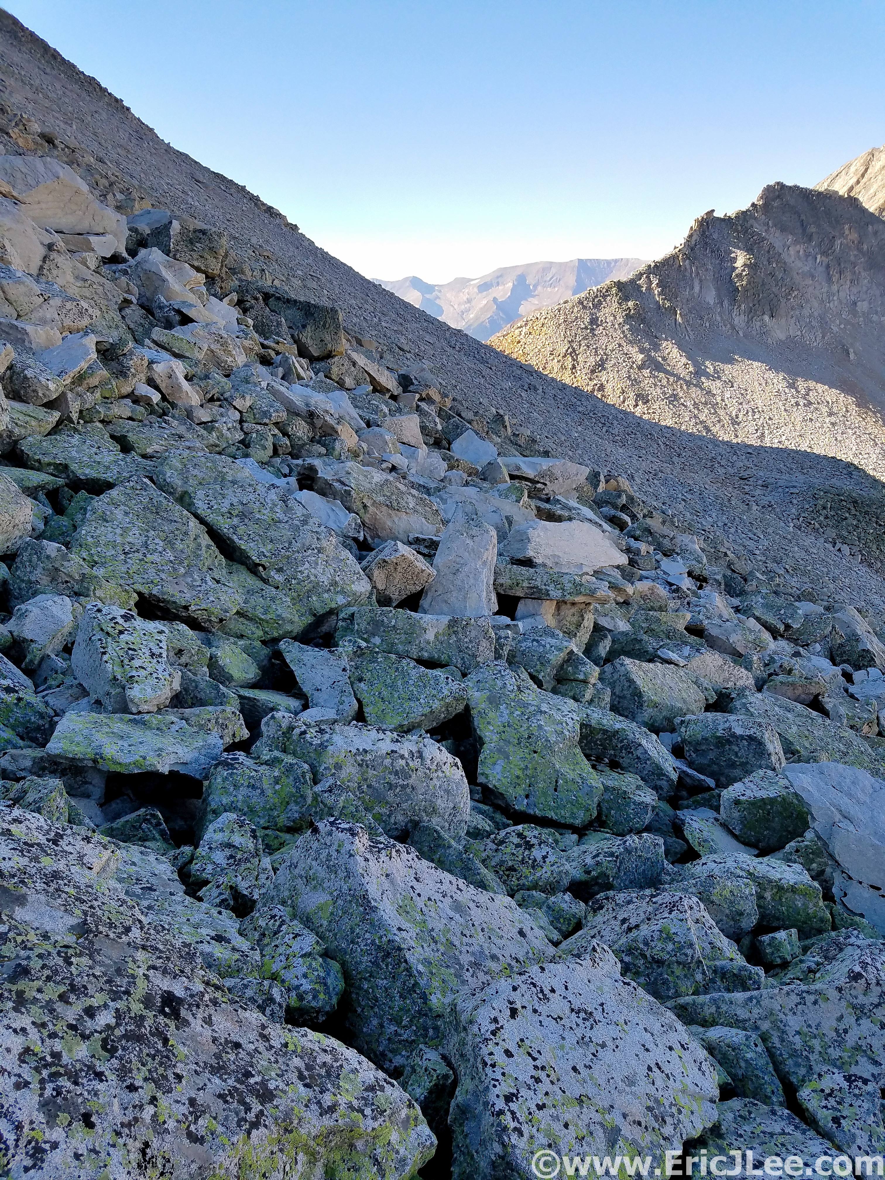
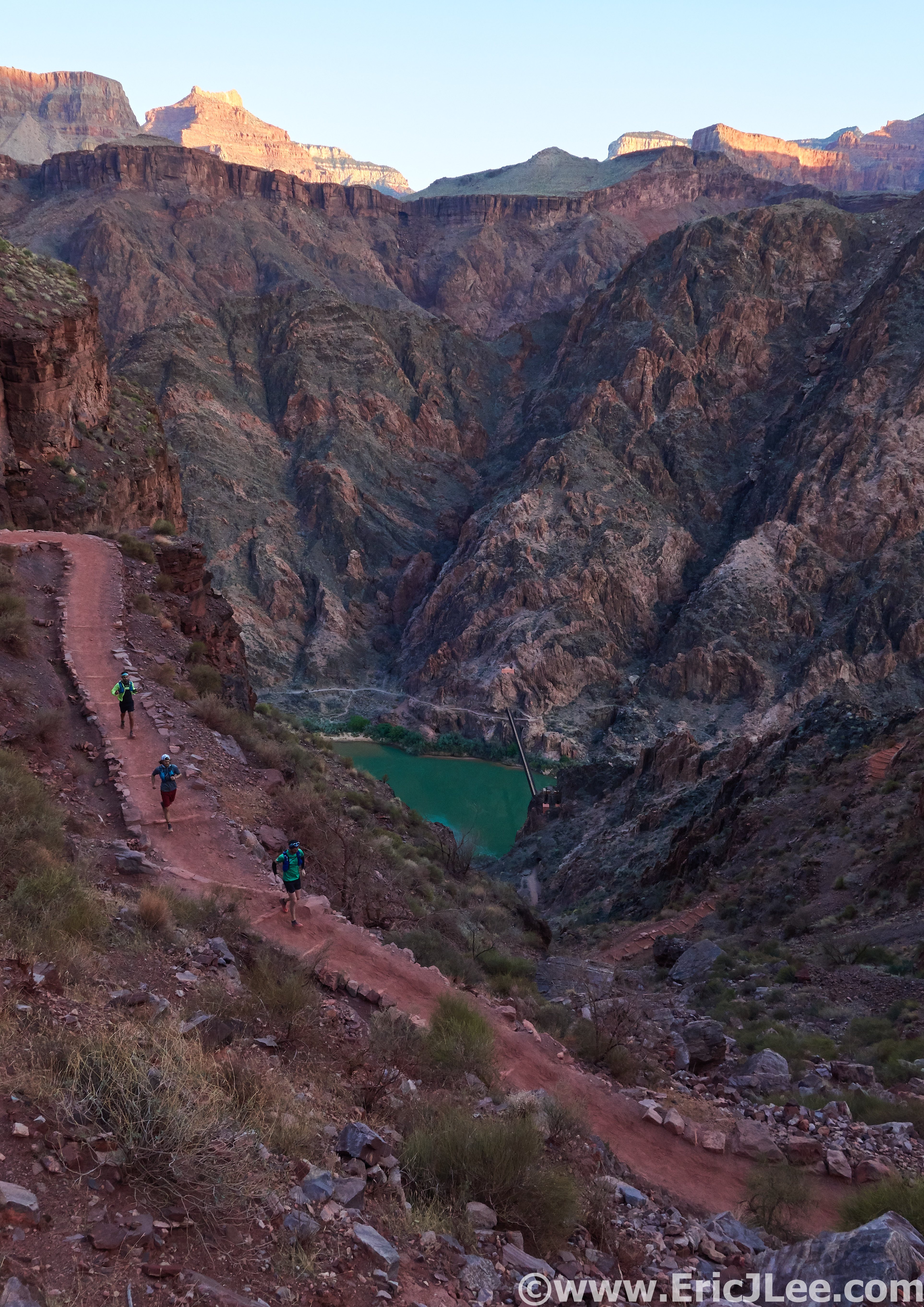
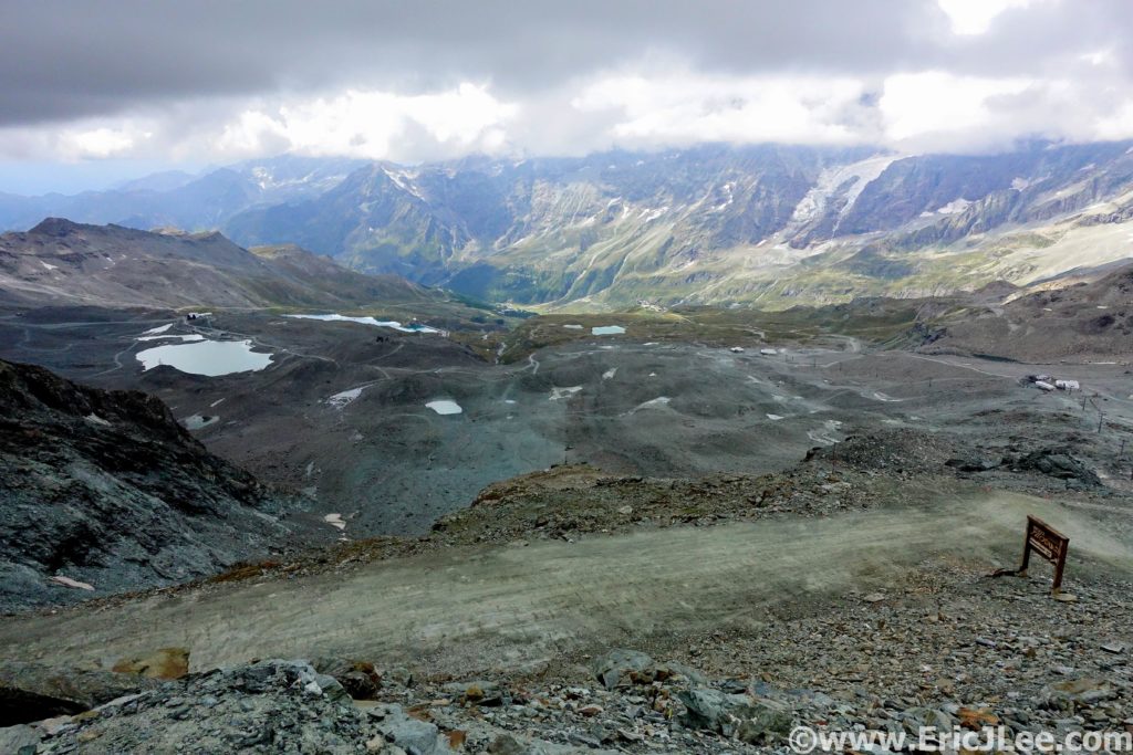
Down down down; note a theme, climb up, yog down? From the pass it was mostly dirt road through a quarry to Lago Cime Bianche (54.9km, 9:55). The fog had begun to lift and the skies were clearing up a little bit, for the first time all day we were actually getting some views! At the aid station I continued my self care, a little lentil soup and some cake, mmm. Then back uphill we went, again, just a short 300m up this time. Then began the long decent to Rifugio Ferraro. I continued to hop my way down the rocky terrain, that felt like a snail’s pace, but turned out to be about average for that section.
My quads were definitely starting to feel the burn, but I was still moving alright, so yogged on. The weather was looking a bit moody, but nothing beyond a few sprinkles. As myself and UK runner Philip Williams rolled into Rufugio Ferraro a steady rain began to fall so we popped on our rain jackets for the first time (67.5km, 12:00). We took a few moments fueling up before the long climb (800m) and even longer descent (1100m) into Gressoney. I had flipped my phone on for the first time, happy to find no texts from the race, onward we go!
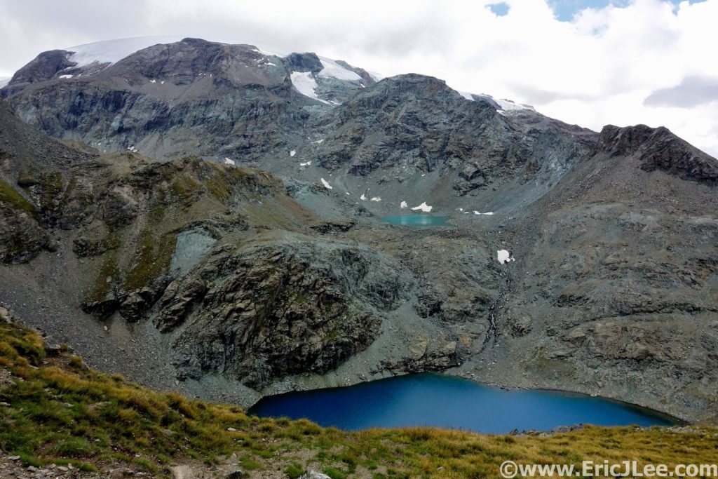
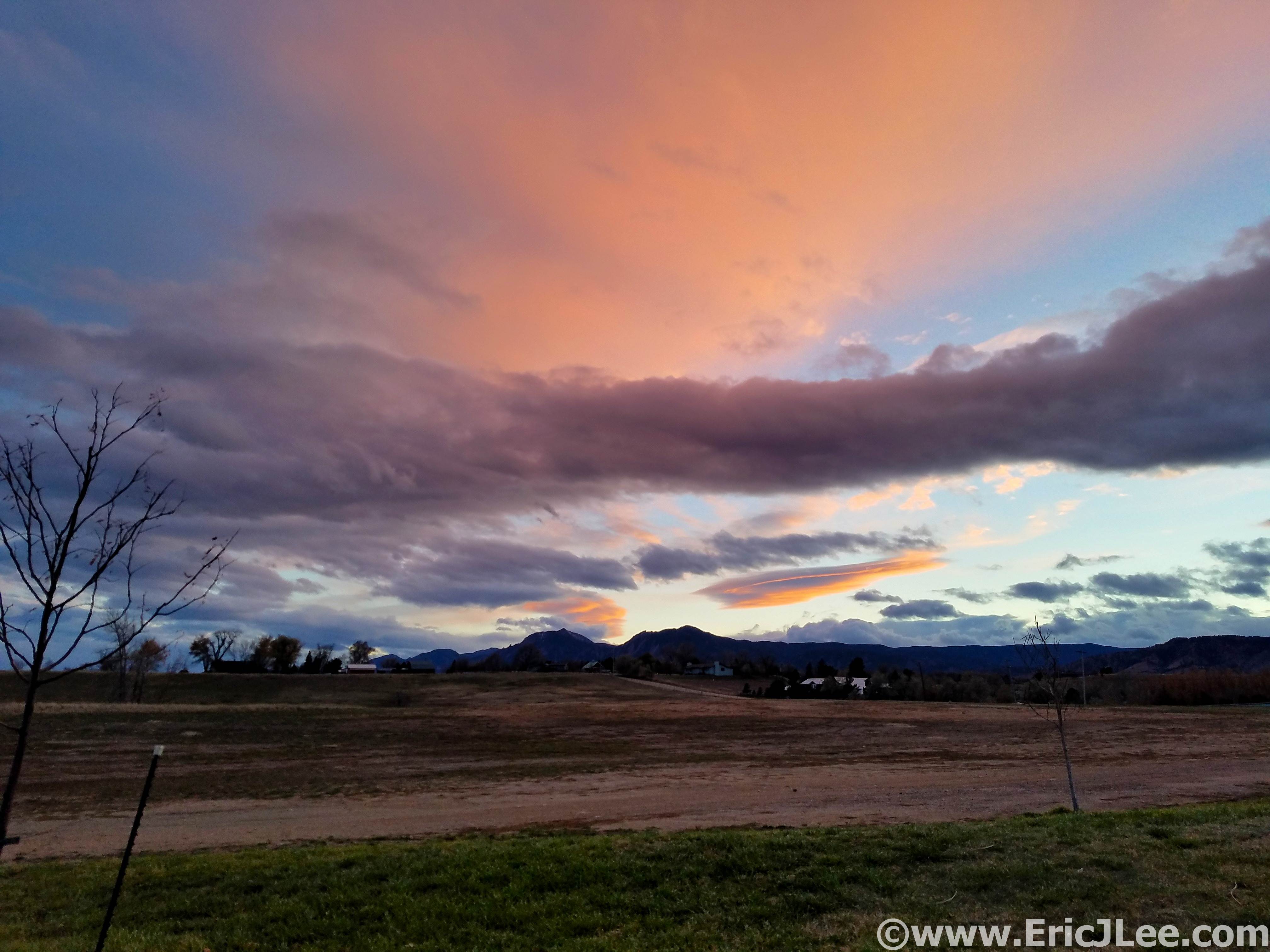
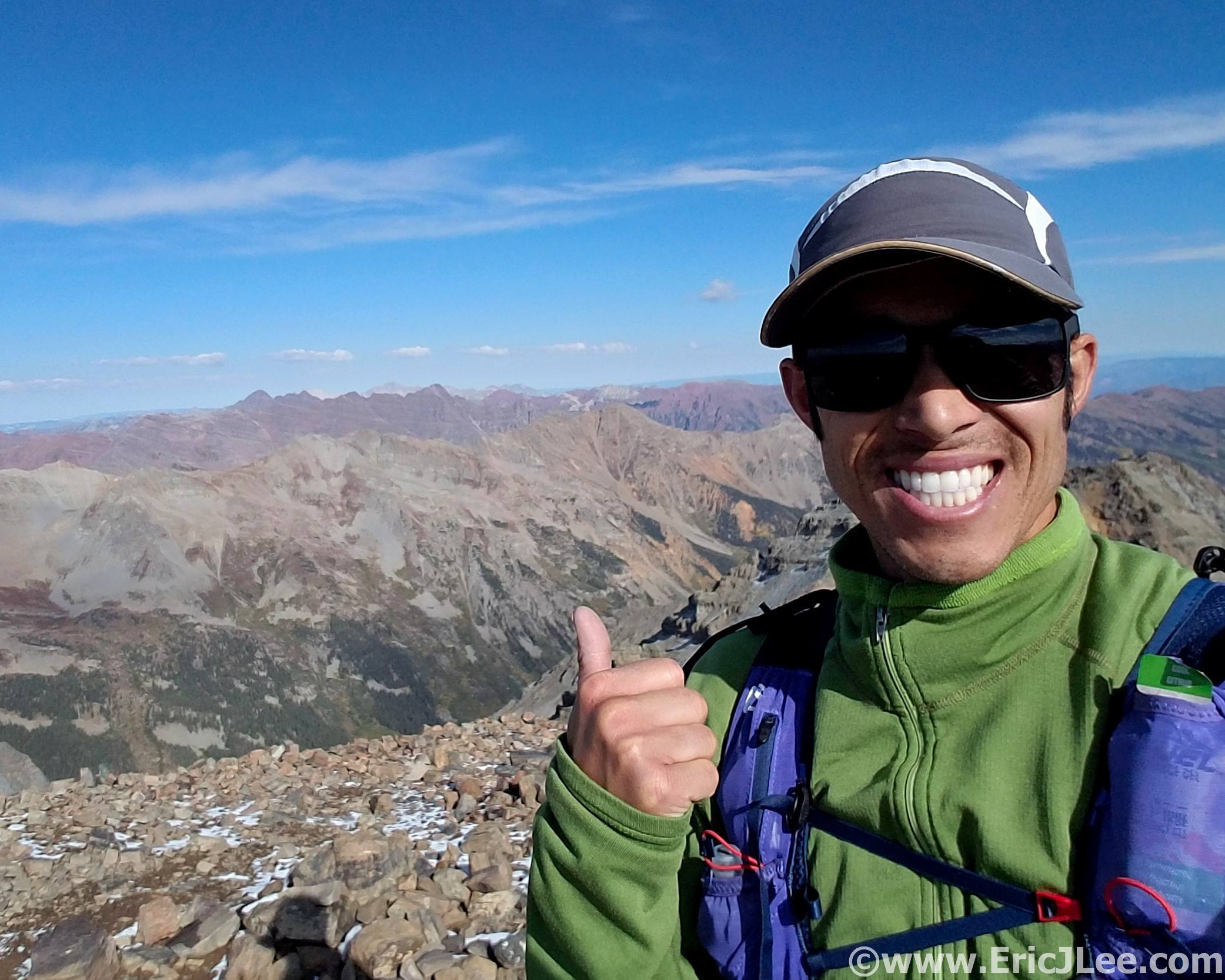
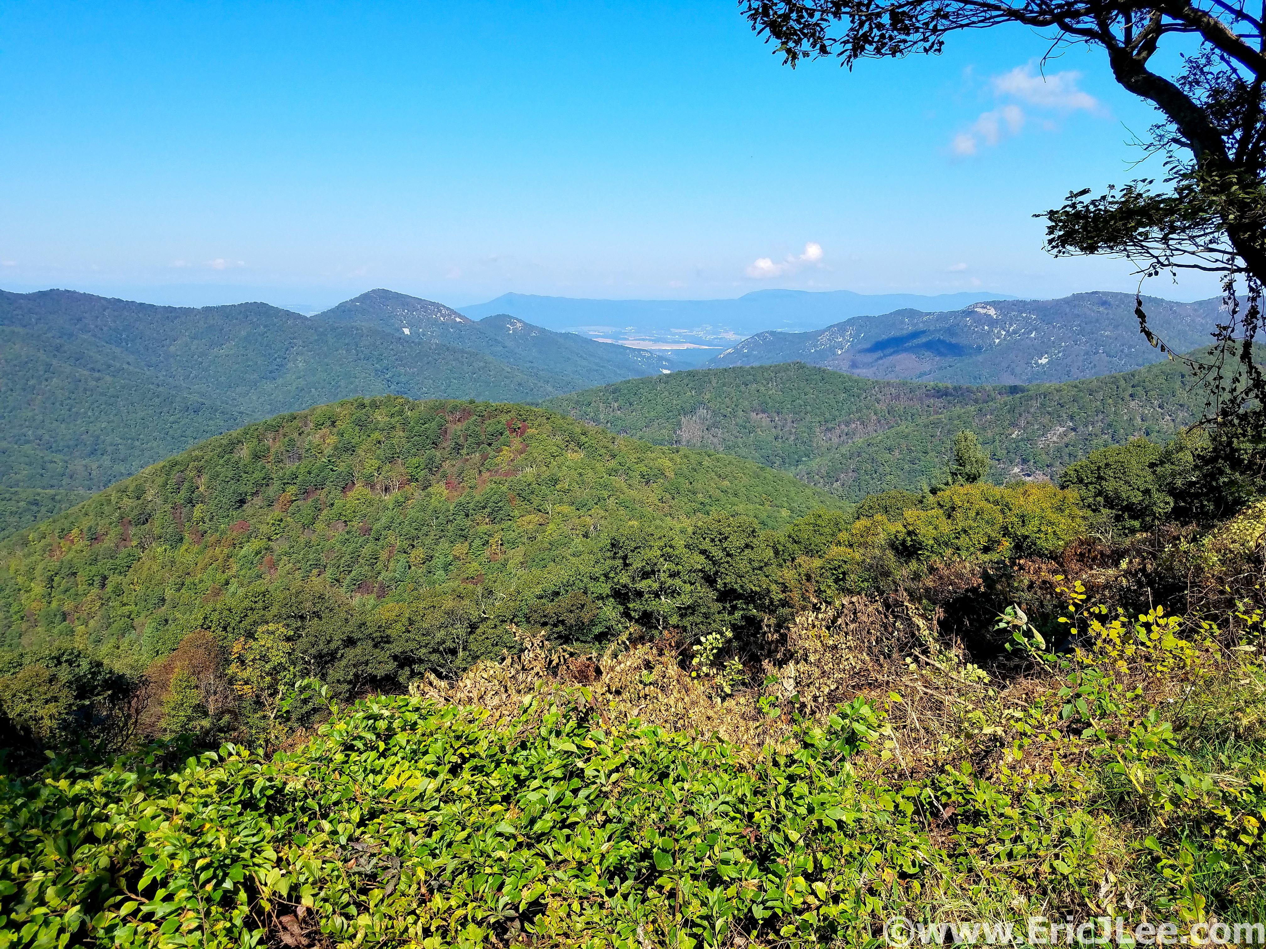
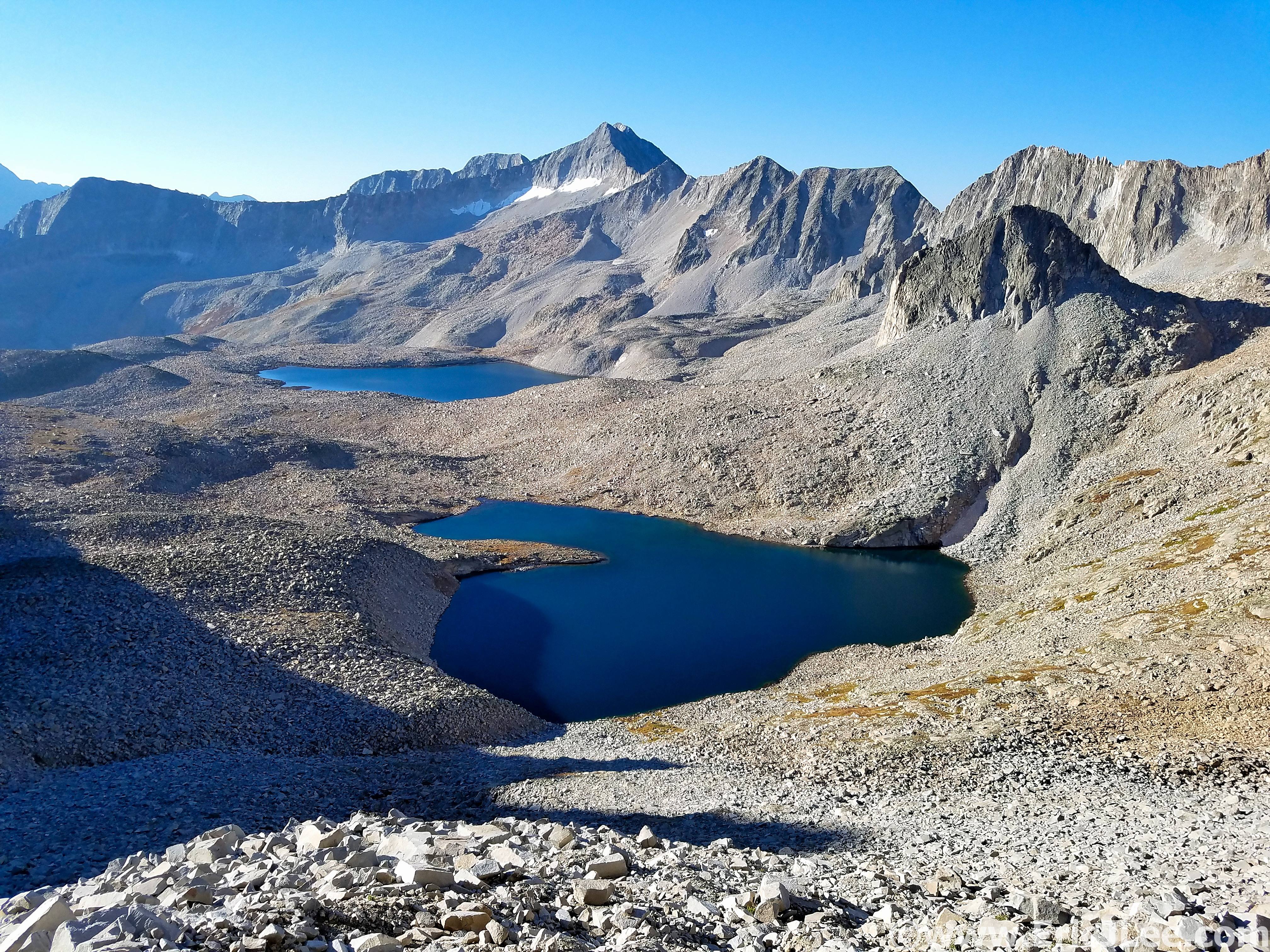
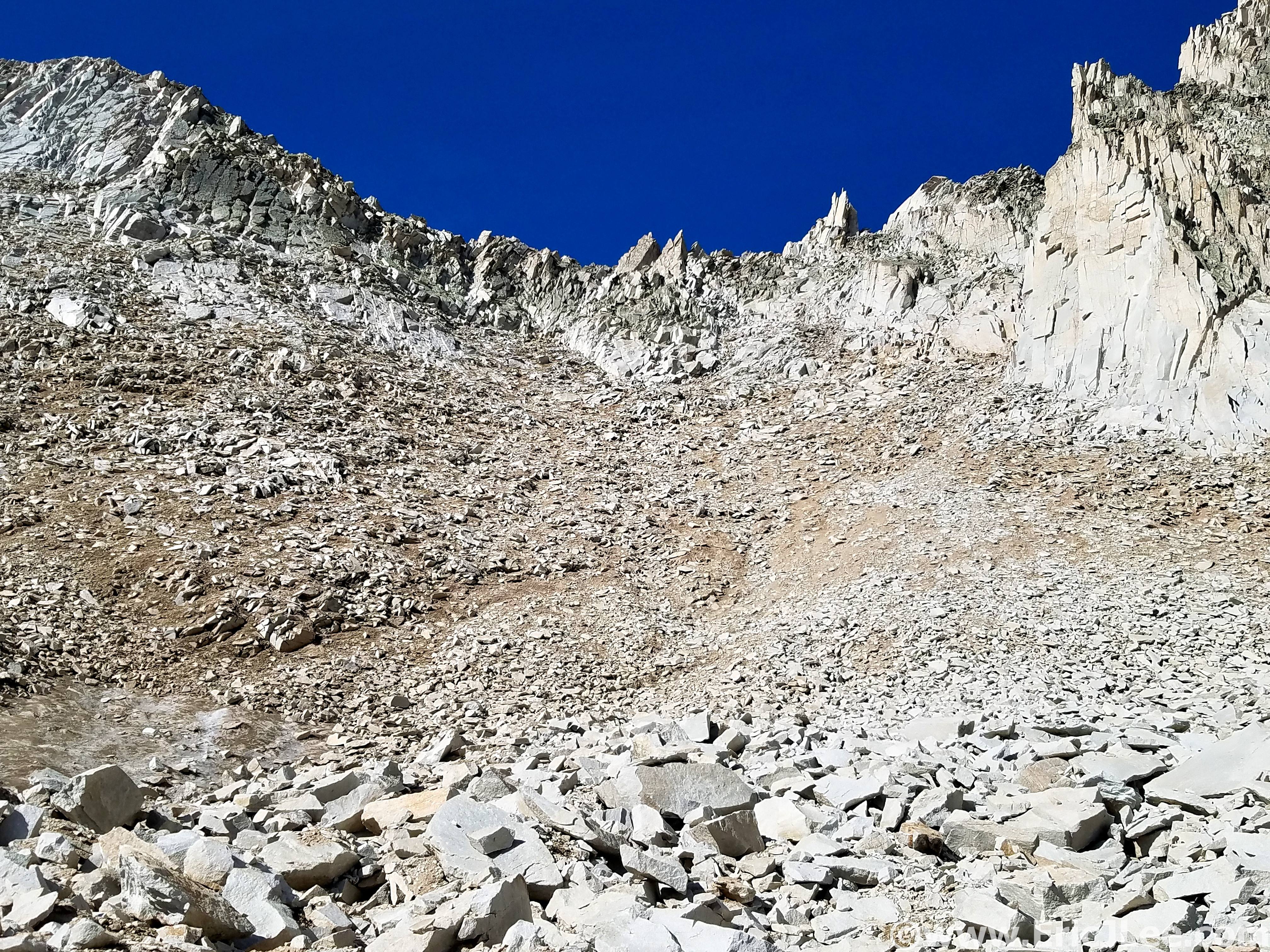
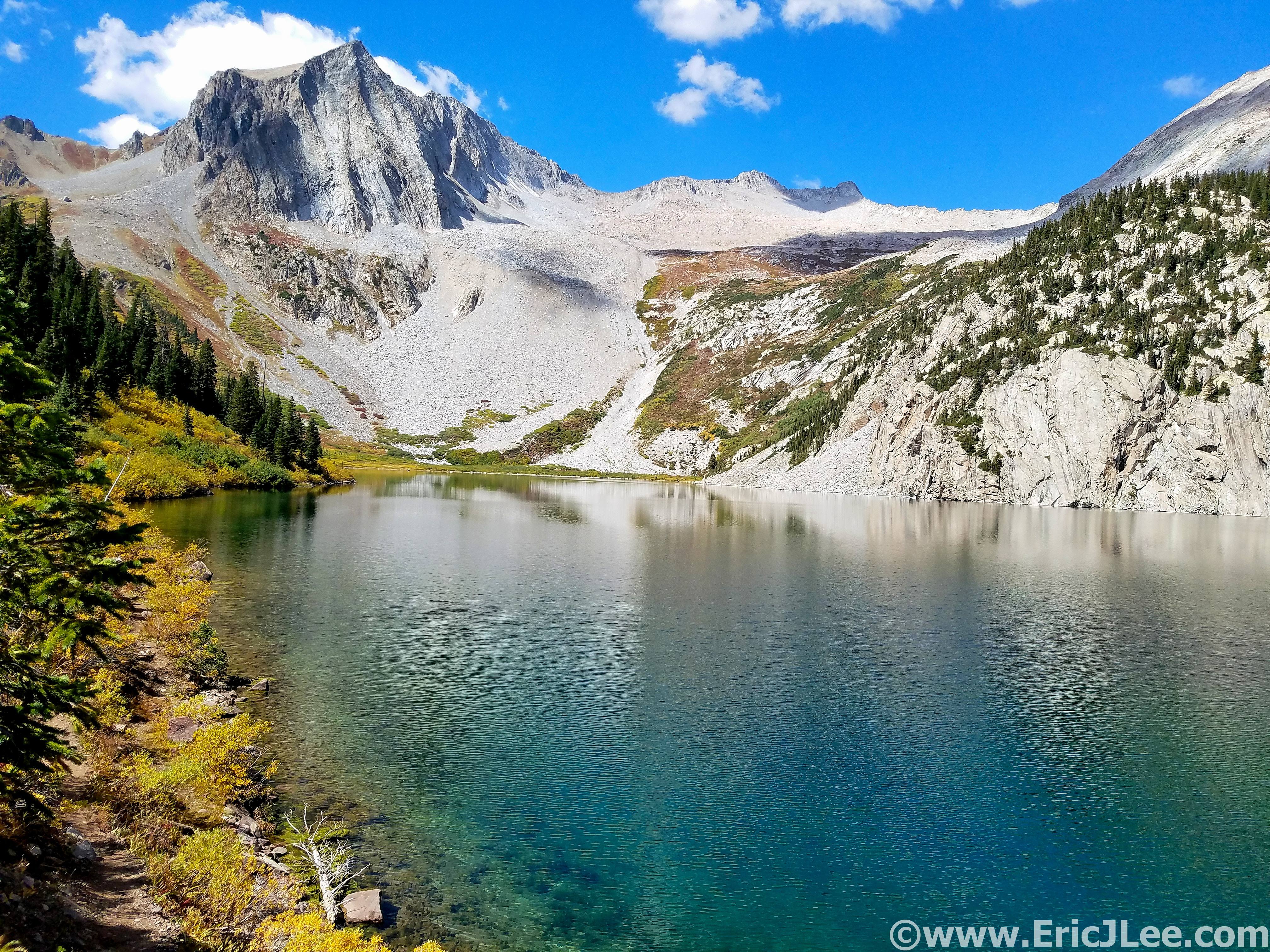
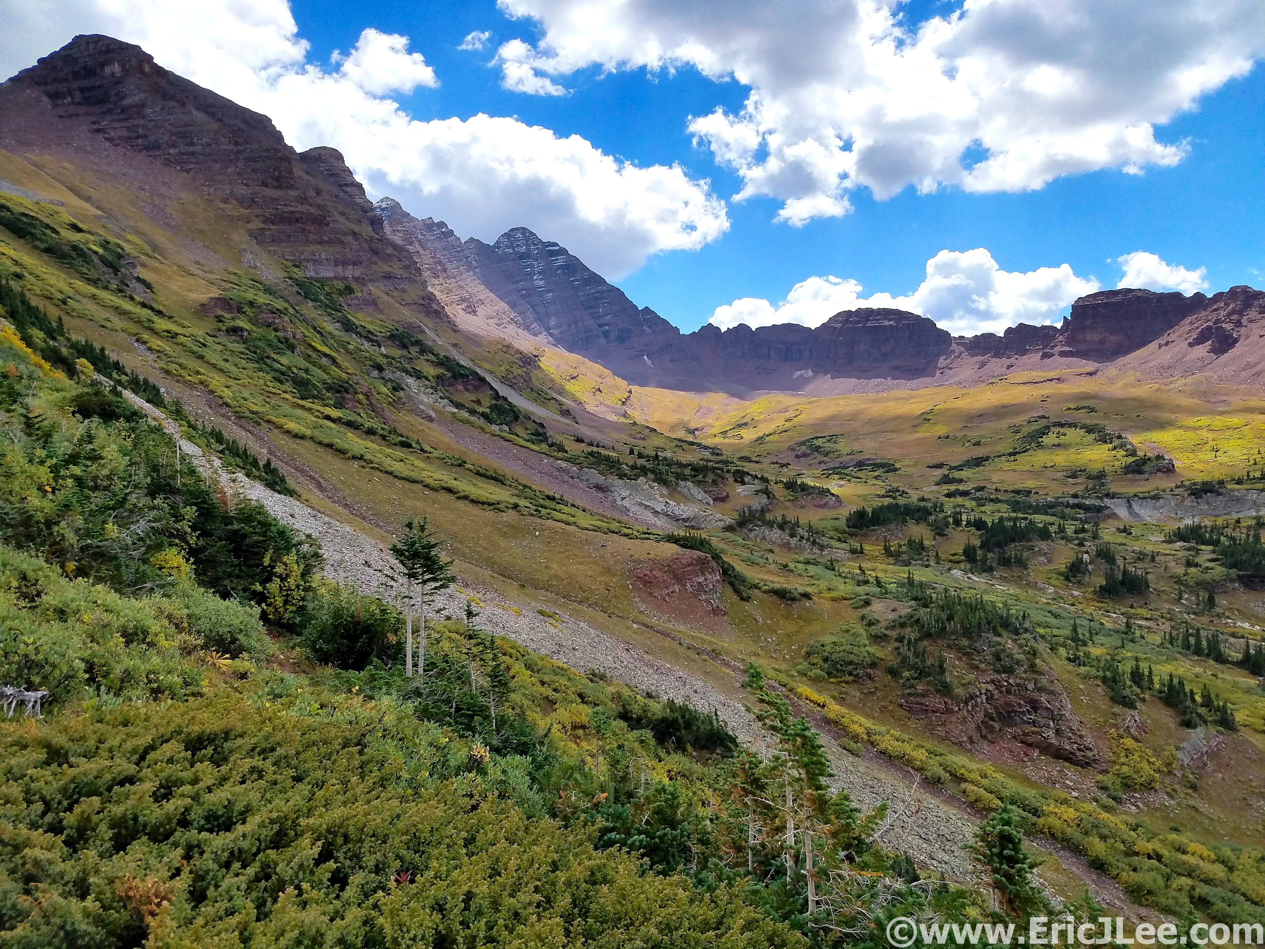
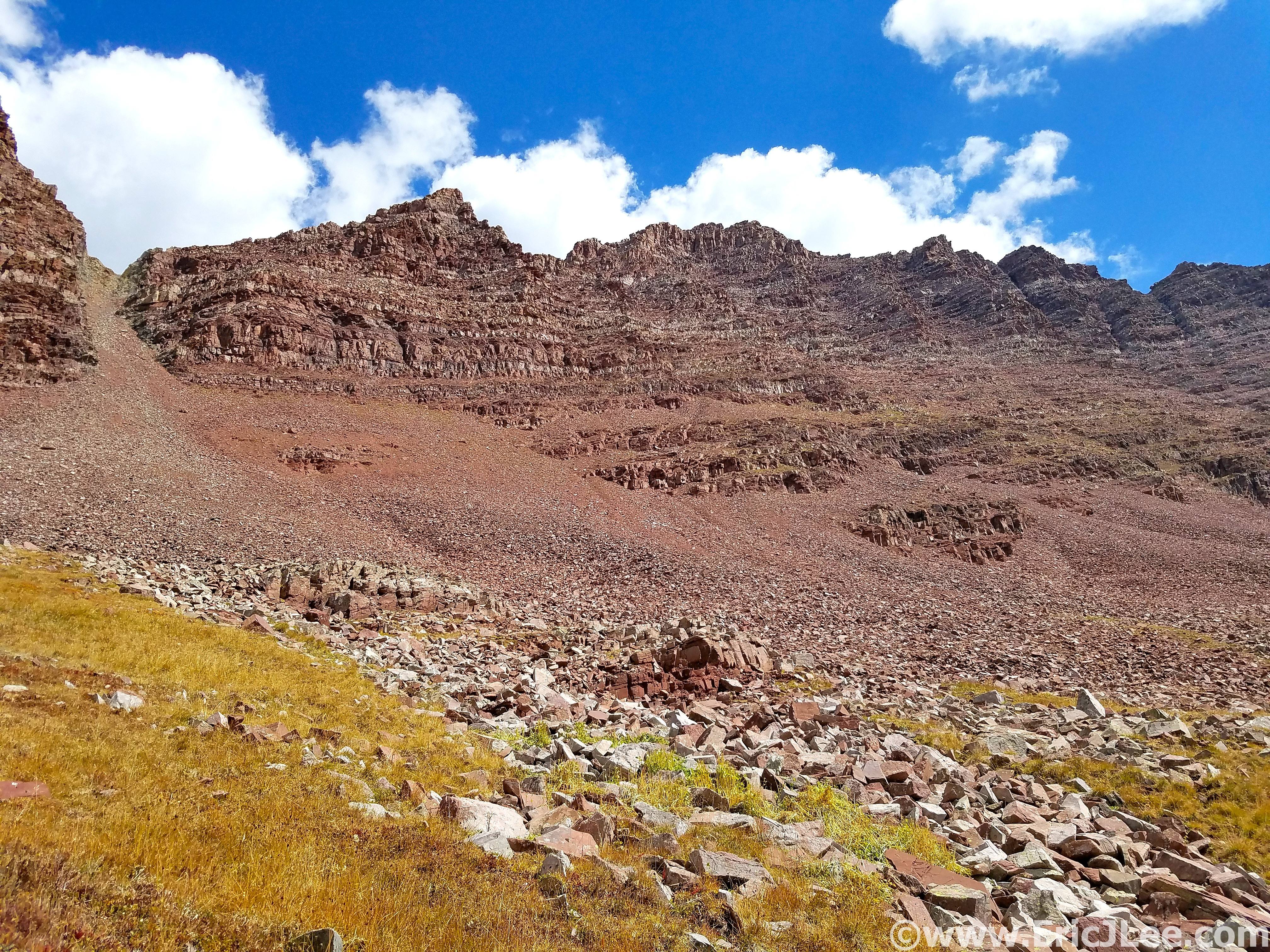
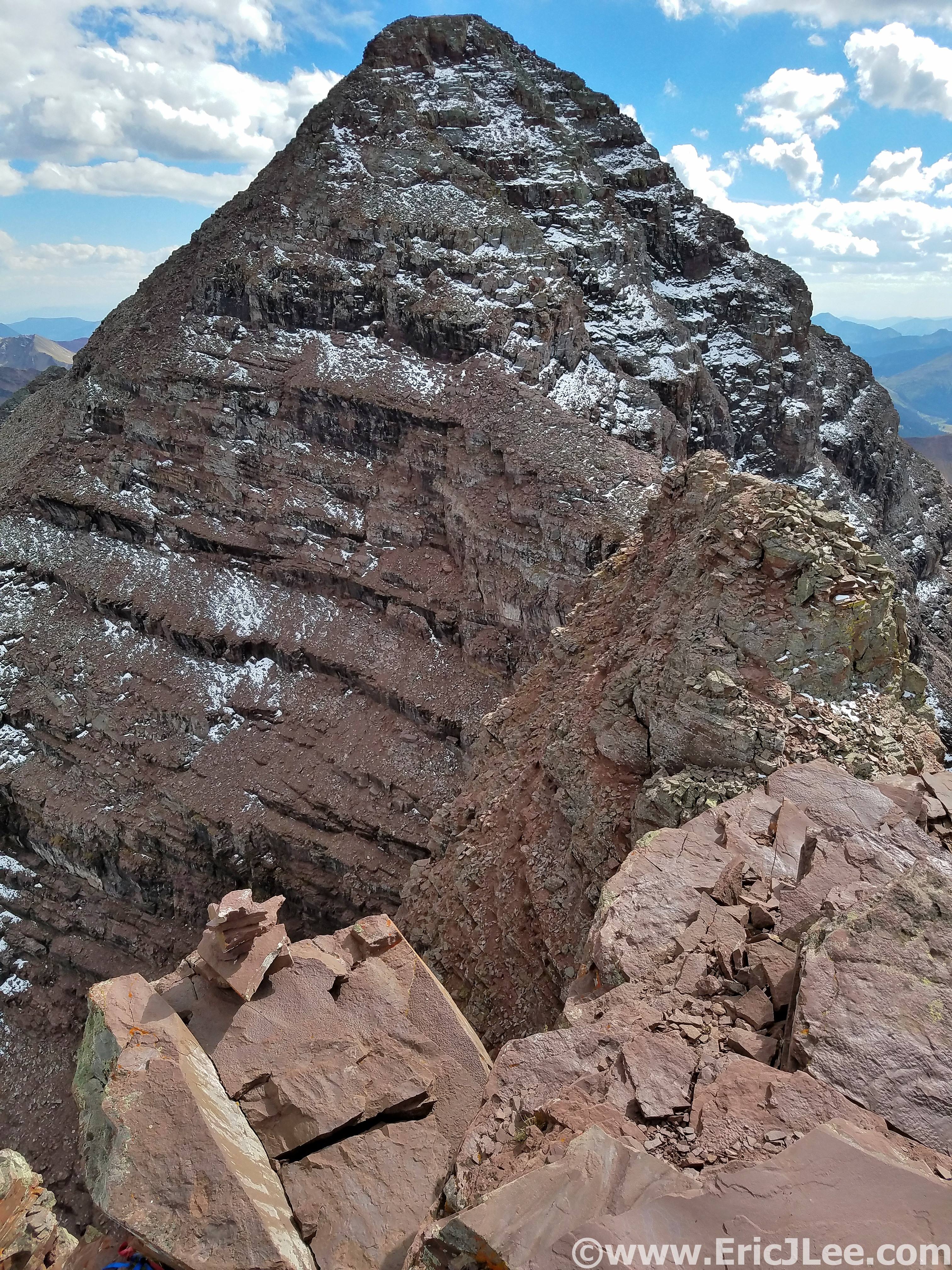
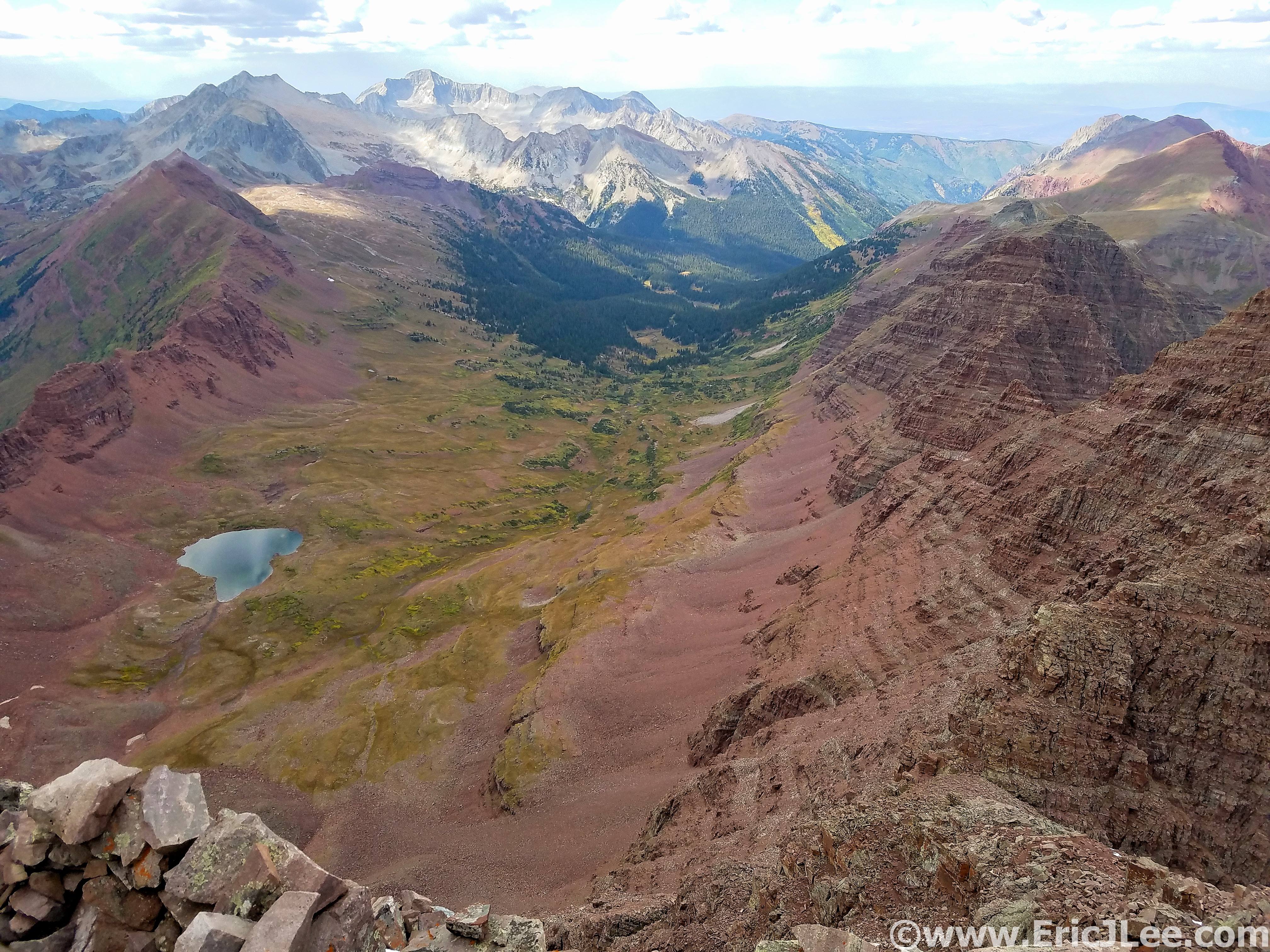
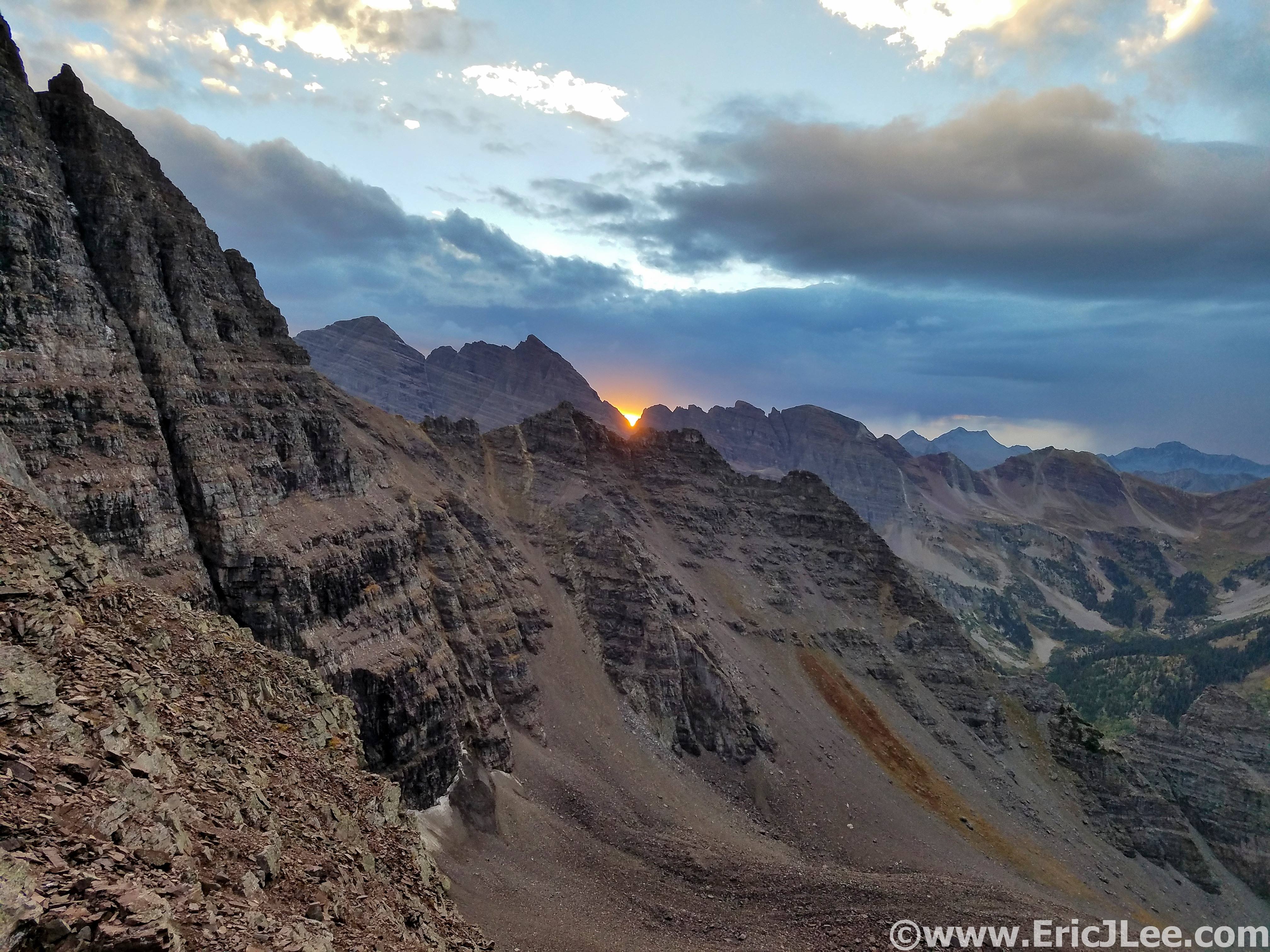
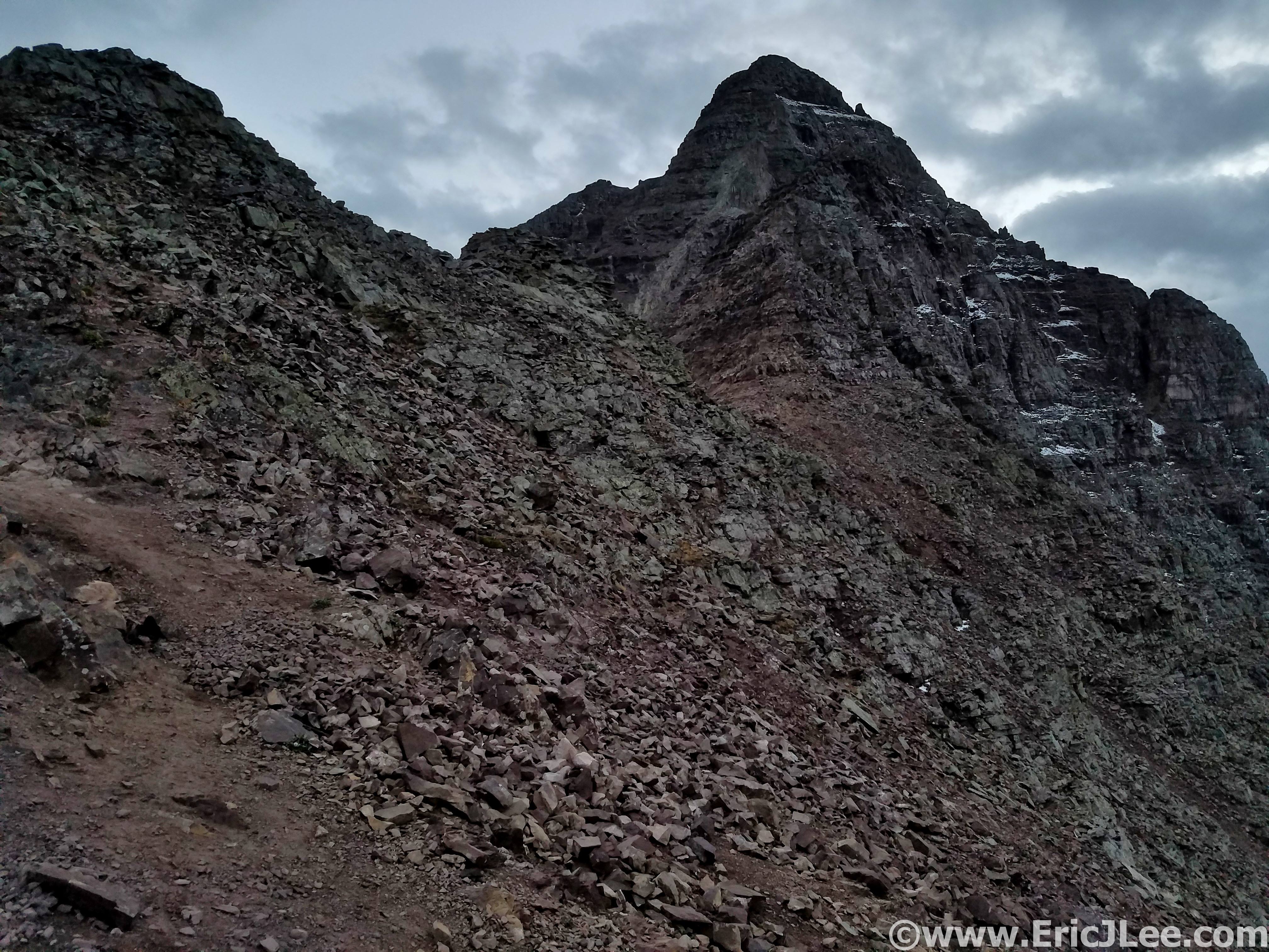
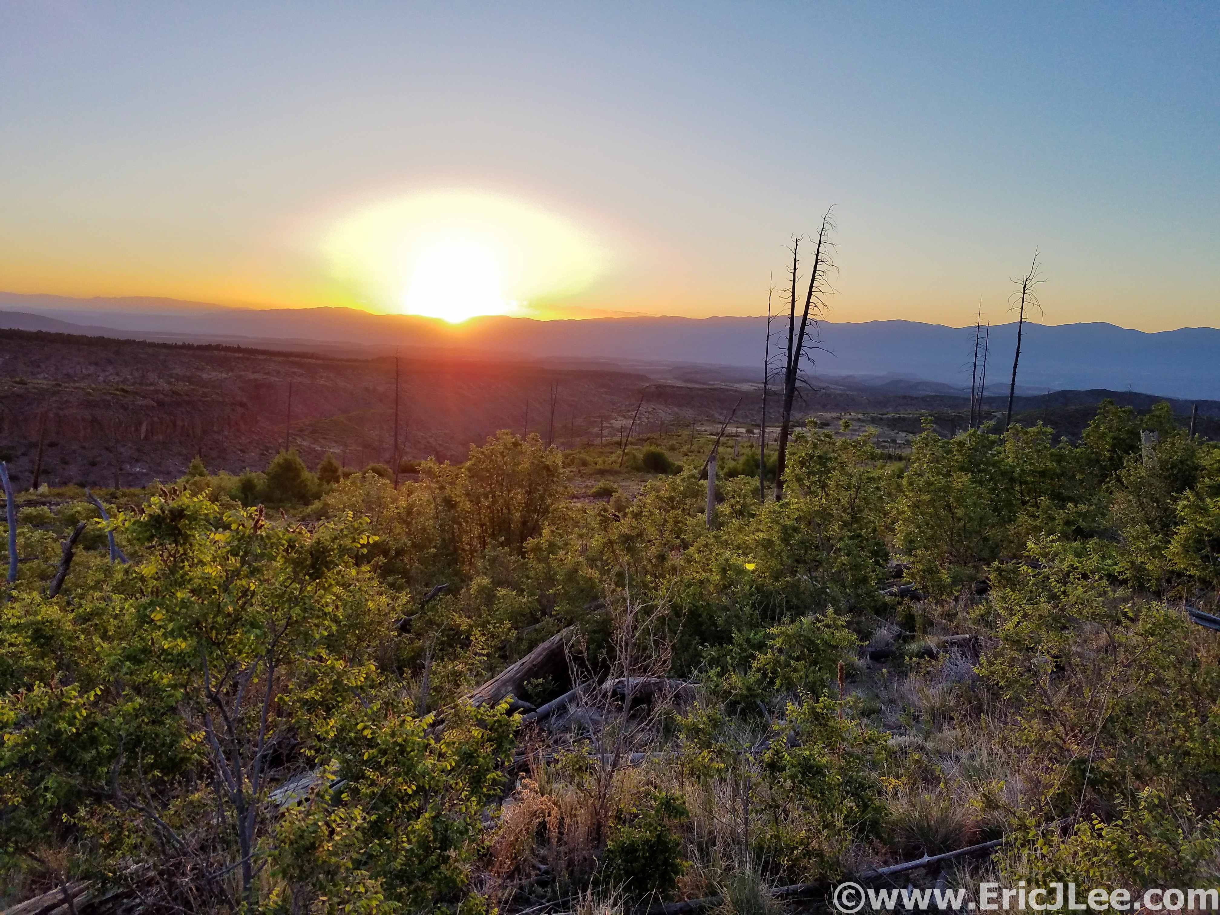
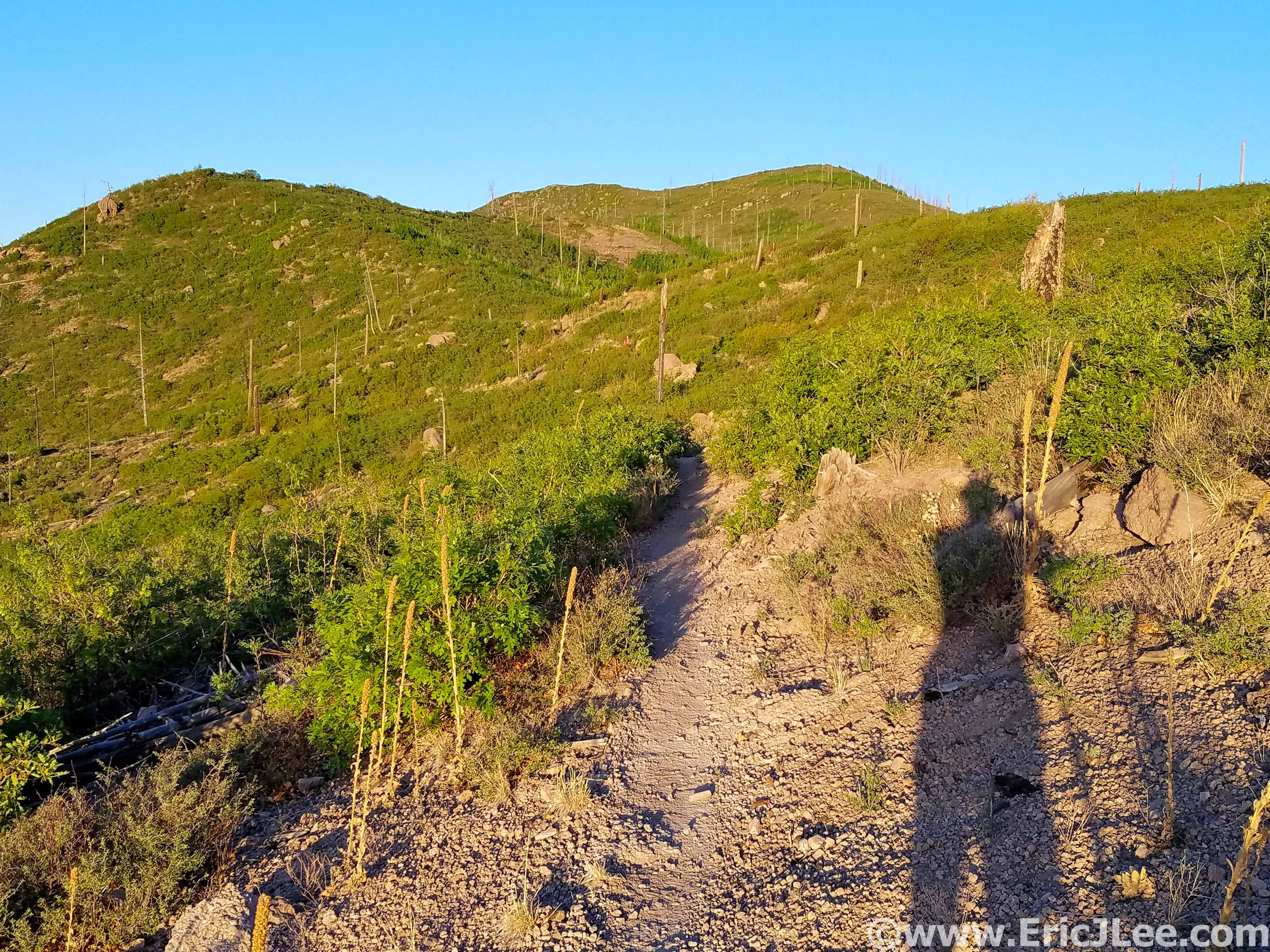
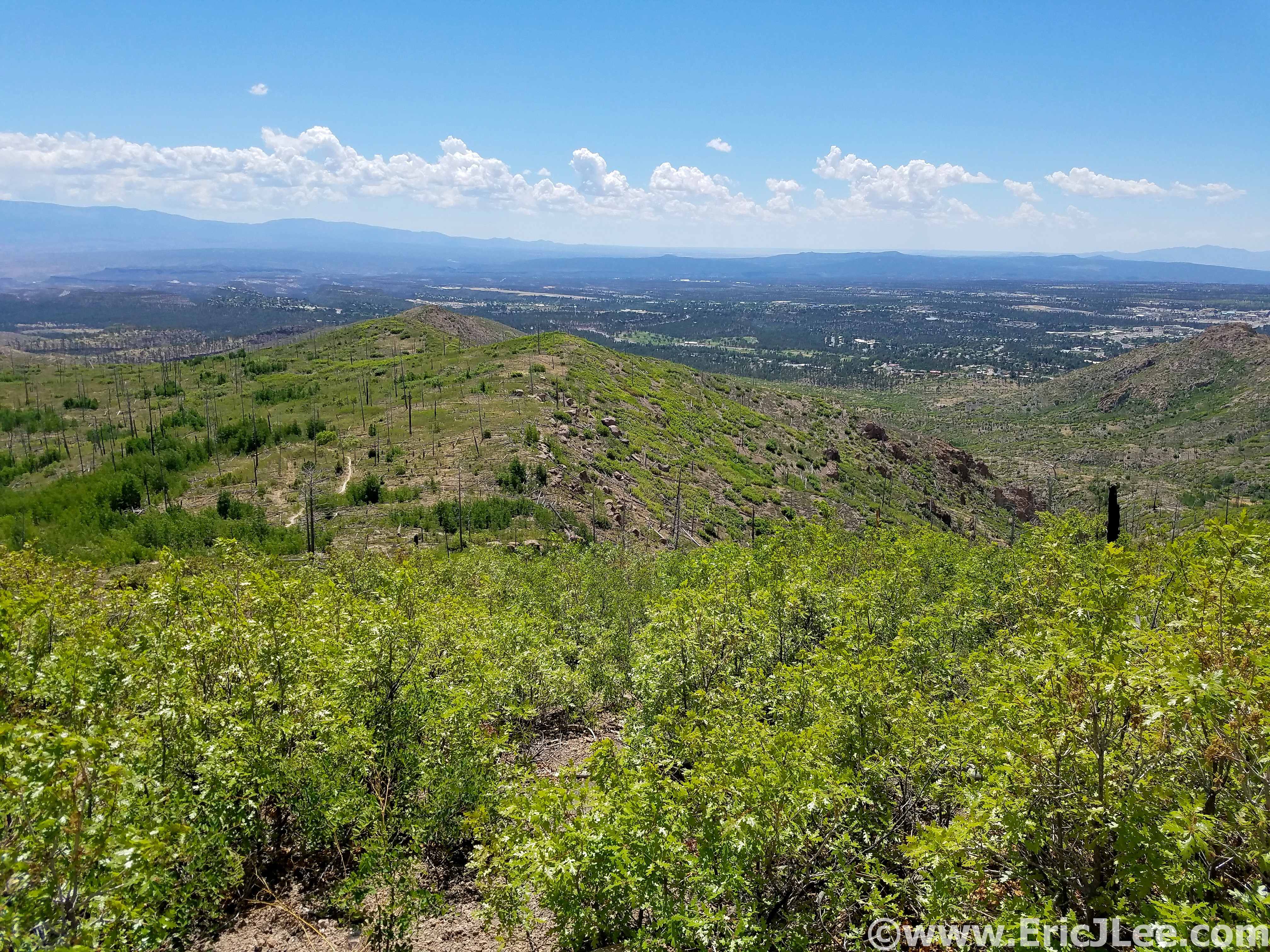
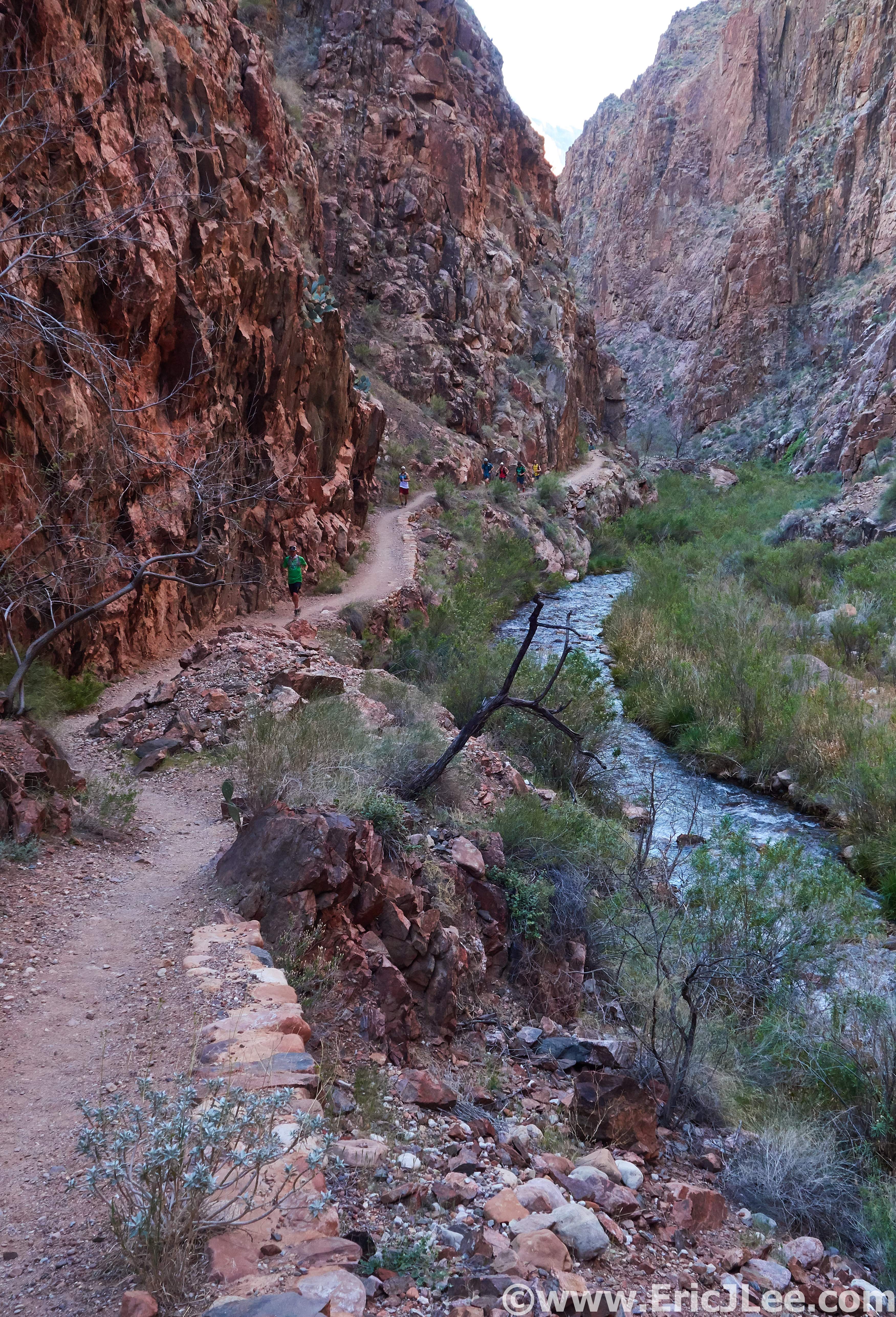
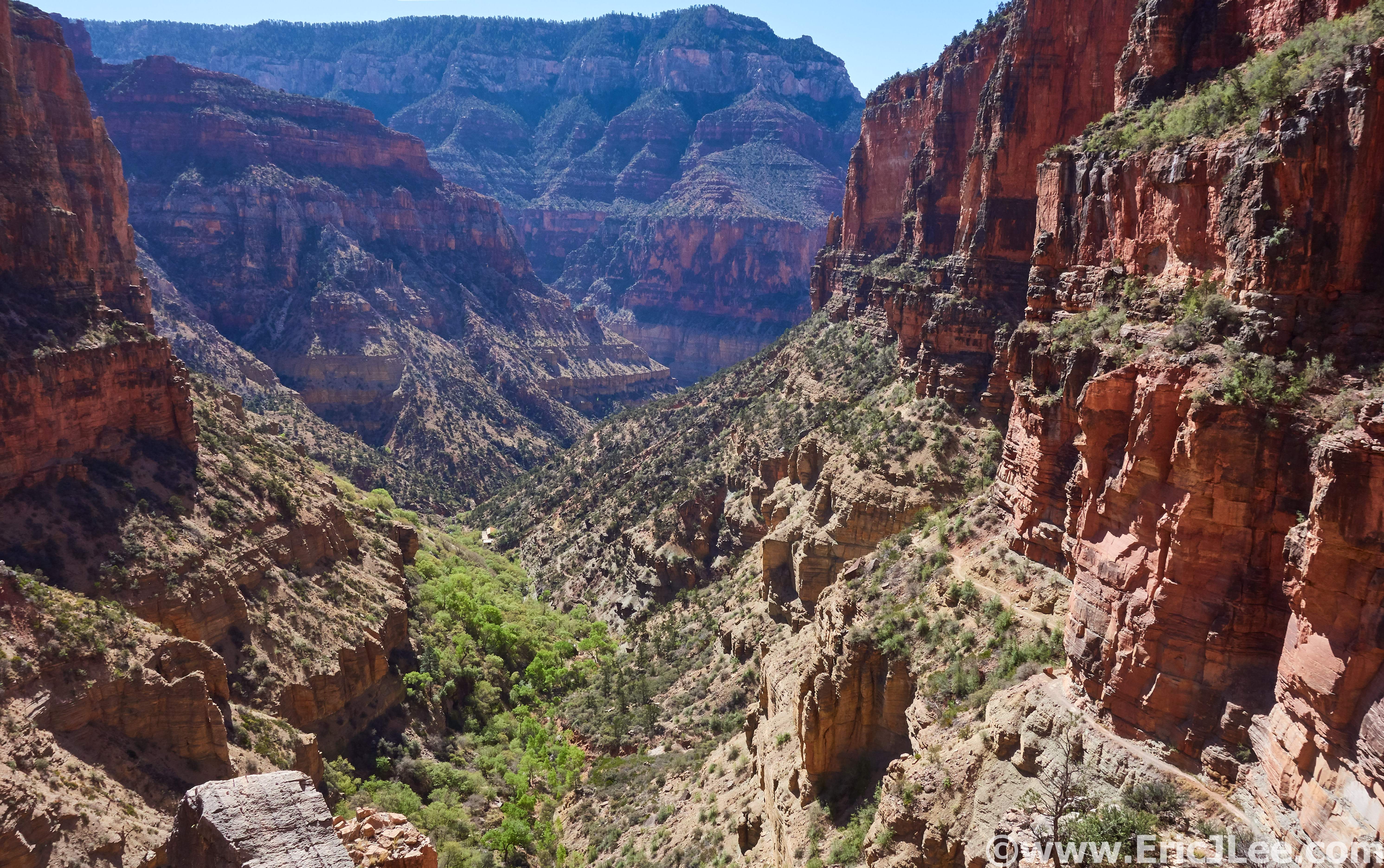
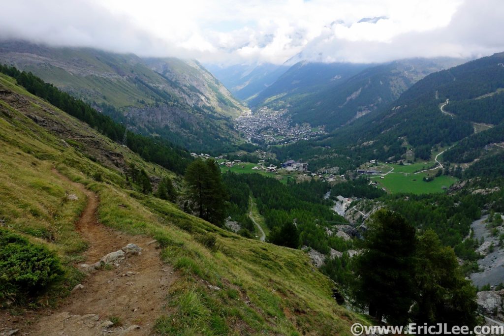
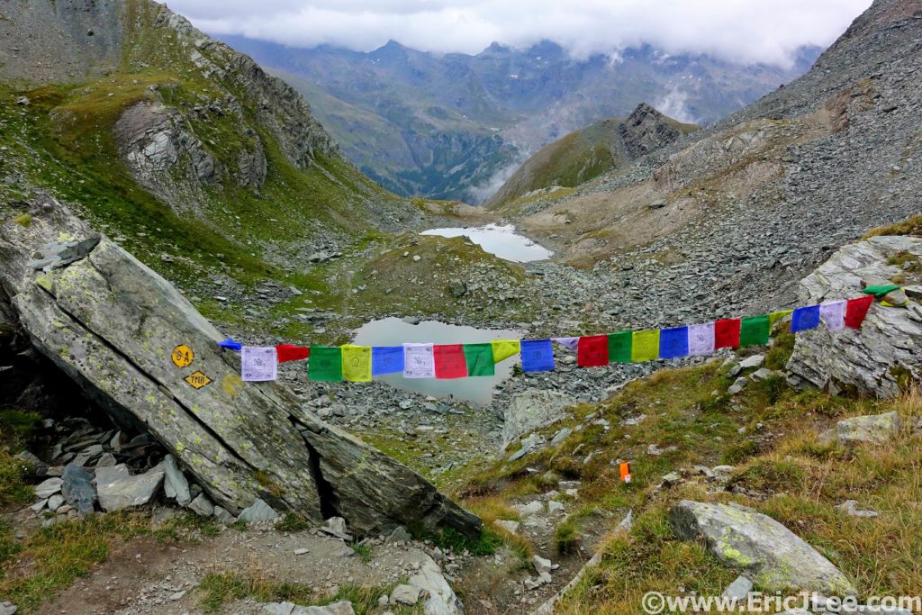
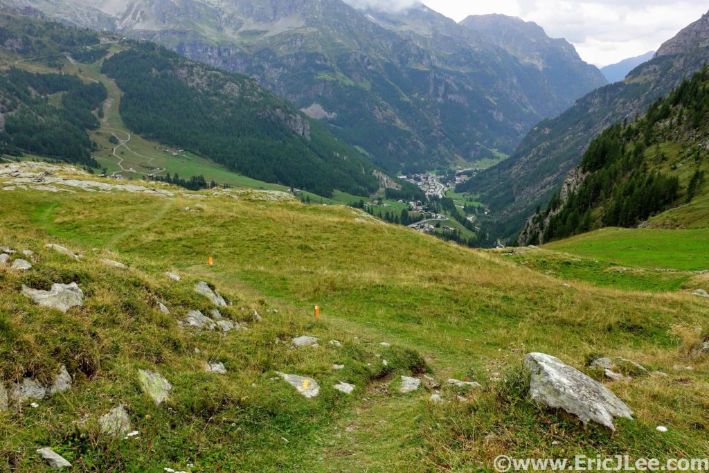
As we hiked out of the aid station up the jeep road, another runner and I noticed Philip ahead of us, but on a different flagged track? He checked his GPS and indeed we were on a parallel flagged route that was not the normal race course. So we cut back on course and continued upward towards the pass. The sun came out as we climbed, descended, then climbed steeply again on very rocky trail to the pass (73.9km, 13:27). The views looking down valley towards Gressoney, were spectacular as the clouds drifted around the mountain tops.
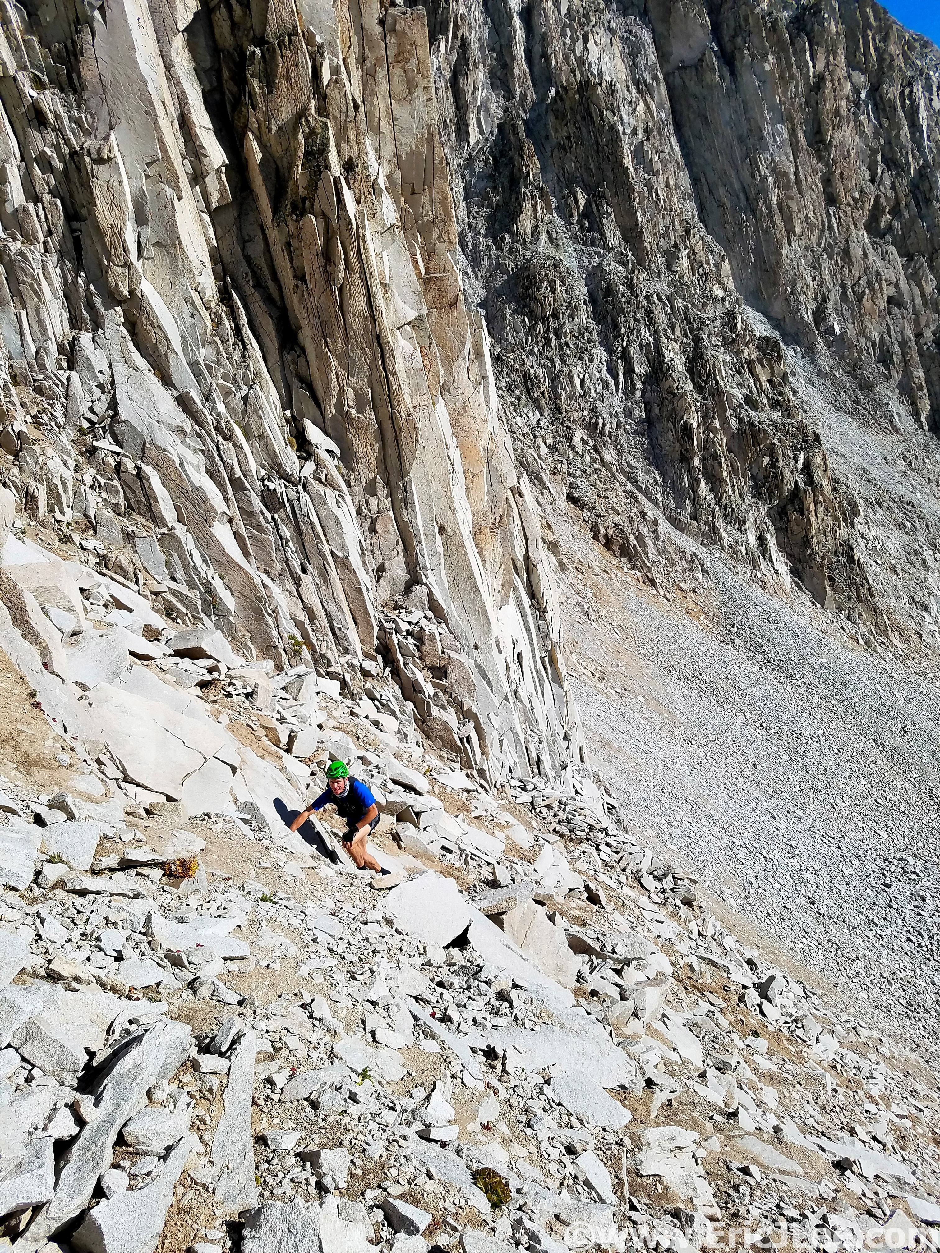
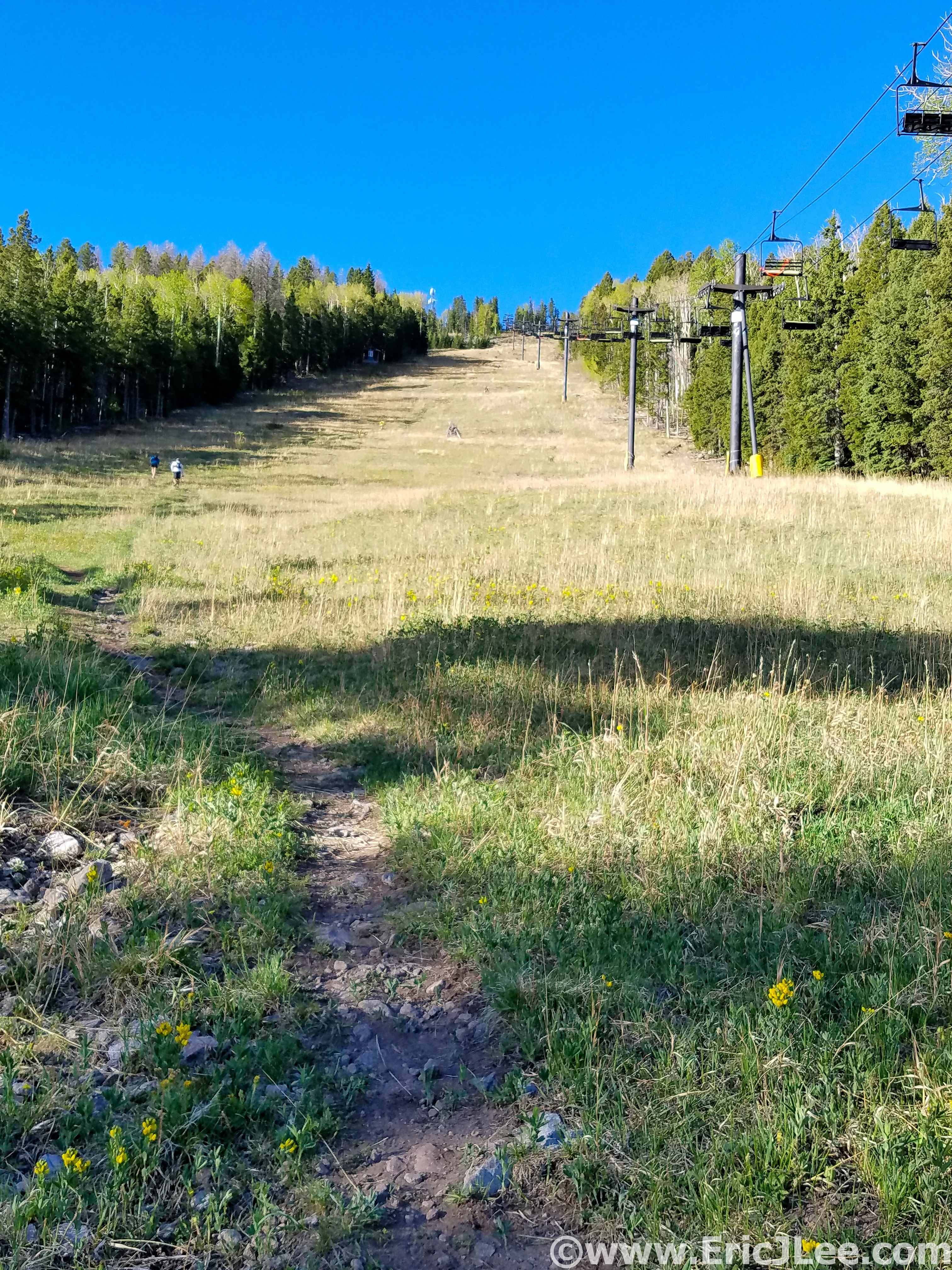
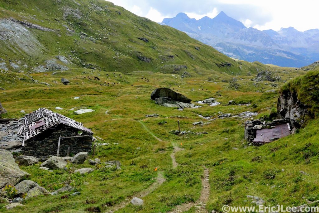
The descent was incredibly steep and rocky, but I managed a hop-jog down. Passing several small alpine lakes, through green meadows, around a large herd of sheep and down to the ski hill above Gressoney. As I cruised down the trail and onto the ski road I noticed a Japanese runner coming straight down the road above me, huh? He said he took ‘the other route’, nothing we could do now but keep running I guess? The final downhill into Gressoney was moderately technical and damp from the light rain that was falling again so I took it slowly.
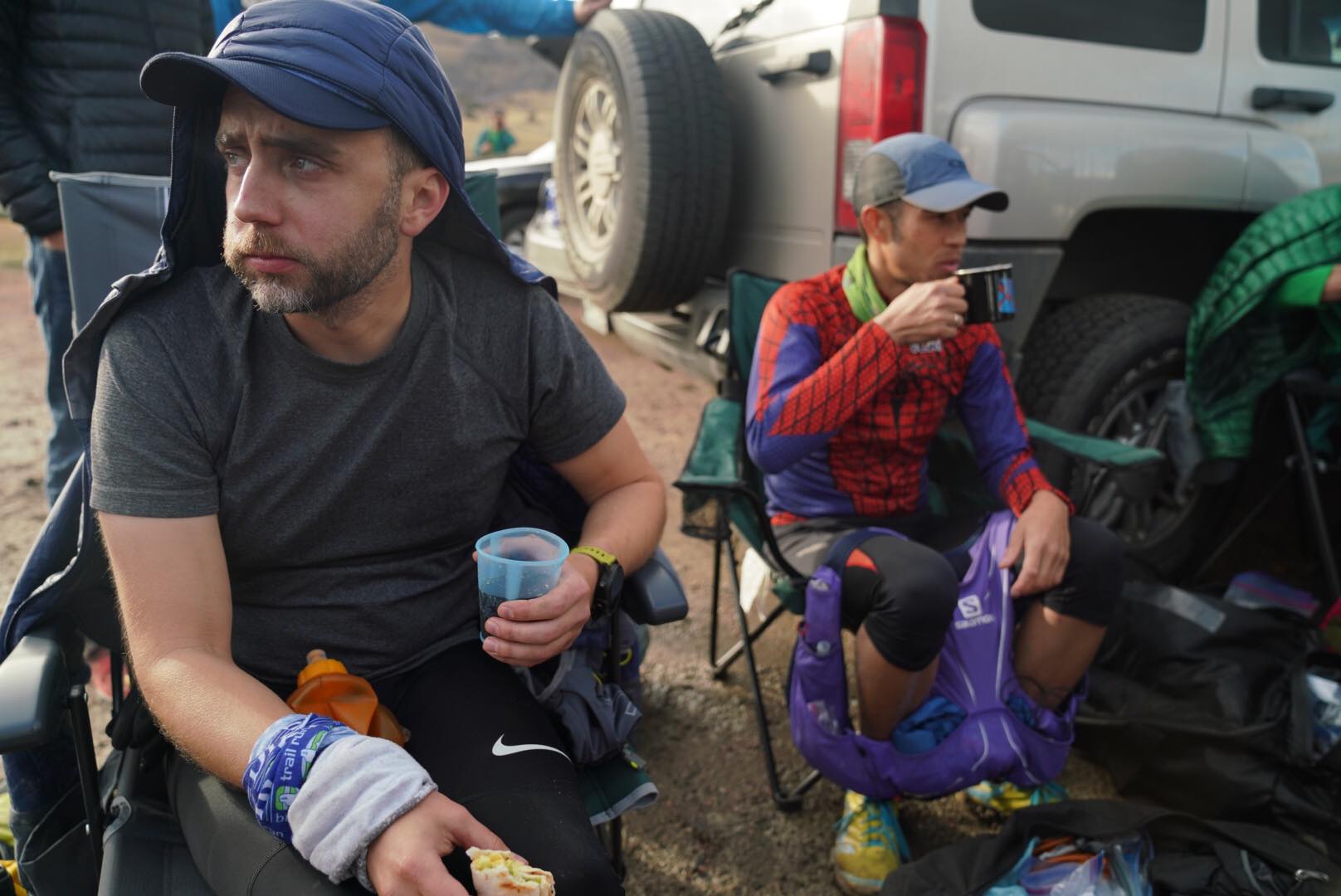
The trail dumped us onto the dirt road, <1km to the aid, SWEET! I began to take a mental tally of what I needed to do in Gressoney; eat a meal, hydrate, put on tights and overall just prepare myself for what appeared to be a long, cold, damp, dark night ahead. I rolled through town, hopped through the aid station door (79.8km, 14:27) with a smile on my face (I was feeling a bit spunkier), ready to keep rolling, that’s when it happened….
“Welcome to Gressoney, in case you haven’t heard your race is canceled…” -Aid worker
“Excuse me, what?” -Me
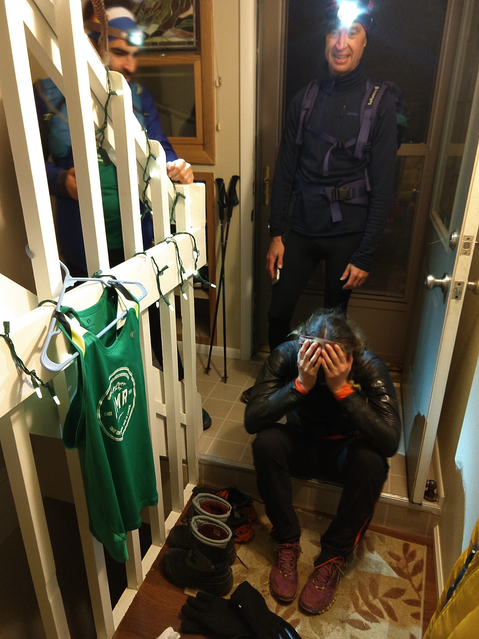
I was stunned and completely dumbfounded. I’d only used my rain jacket for a total of 45min, I was sweating and the weather wasn’t bad at all, wtf was going on???? I spent the next half hour trying to understand what was going, then pleading for them to let us continue, then trying to convince them to let us continue in the morning with the other races (Friday’s 100km and stage race hadn’t been canceled…yet). As those of us in the aid station commiserated, we watched the face of each new arrival go from excitement to disbelief to sadness. We were all still having trouble processing the news.
After much deliberation those of us waiting in the aid station decided to throw in the towel and catch the 9pm bus back to the start line in Grächen as there was a good chance they weren’t going to let people run from Gressoney on Friday morning either. We were trying to lighten the mood as much as possible, but it was evident how depressed many of us were that our race was so suddenly cut short, but the adventure didn’t end there…
Gressoney is the furthest point on the course from Grächen, 5h by bus, and our 9p departure, turned into 10:15p. Oh, and there was only one bus (48 seats) for the 80 something runners, meaning half the crew would be spending the night in the aid station on the benches and dozen mattresses available. The first priority was based on arrival time, and thankfully I fell squarely within that group. I dozed intermittently on the bus, and we finally arrived back in Grächen at 3:10a, to light rain. I quickly showered and went straight to bed.
I awoke the following morning to steady rain and a fresh coat of snow on the mountains above. As I chatted with other runners more stories began to trickle in; many were stopped at Gangehütte (47km) due to white out and snow. I then got a message from Ellen that there race was delayed until noon, then that a bus was coming to move runners to Macugnaga?, then the 100km was outright canceled!!! WTF was going on??? It took Ellen, Dana and a few other 100km runners until 4pm to get back to Grächen, all of them understandably frustrated and mad they hadn’t run a single step!
The 2019 UTMR event (all races) was a bit of a mess, not because of bad weather, but because of how it was handled (in my opinion). The weather was a known factor coming into the race (cold, wet, possible snow), but it was evident the race committee hadn’t laid out a definitive alternative plan in case of bad weather. When I asked the aid workers if the 170km runners would be allowed to continue if they started the 100km race the following day (a delay, not outright cancellation) they were surprised, because apparently no one had thought of that scenario??? Really???? When the 100km race was told the mountain passes weren’t safe so they’d just have to go home and NOT RUN A SINGLE STEP, how is it acceptable that no alternative was planned out ahead of time?
European races make runner safety a big priority; mandatory gear list, runner tracking, experience requirements (we all had to prove we’d run mountain 100k/100mi races before), but when it comes to actually putting runners in a situation where they’d need this gear….then it’s not safe? Anyone who’s spent time hiking/climbing/running in the mountains has been rained on, snowed on, had to escape storms….but this year at UTMR we were told that we couldn’t handle what POSSIBLY might happen. When they stopped the 170km race it was warm (60F/15C), partly cloudy, with a few showers around….but there was a forecast storm that night, so we had to be protected from the potential weather that might come?
I’m not saying that we should have been sent over the high passes with the impending forecast (yes it did snow), but with known bad weather coming in, how was there NO contingency plan created? How was the only option to pull the plug, throw in the towel and tell runners, sorry you trained so hard, spent all this time and money on this race, but bye??? That’s mostly what left a bad taste in my mouth, the lack of commitment to making the event the best it could be, even despite the poor weather. This is what frustrates me the most and many other runners as well (I know because I’ve spoken with dozens of them, even if they haven’t shared their stories/opinions yet). While UTMR seems like it might be a wonderful event, the handing of this year’s weather situation and cancellation has me doubting if I’ll ever come back. I’ve helped organize/put on races, volunteered at dozens more, and run numerous race course ‘reroutes’ because of bad weather/snow. But in all those previous circumstances I felt like the race organization did their best to not only look out for runner’s safety, but to make the race/run the best experience possible for it’s participants. I have no doubt the UTMR race committee had runners safety in mind when they cancelled, but the commitment to the latter was not apparent. In the end many of us jumped into the 20km race on Saturday 9/7 (also with a rerouted course, we didn’t touch a single drop of snow) just to get some sort of running in. This definitely helped to lighten the mood around town, as most of us were a bit run-gry from sitting around for 24-36h doing nothing (instead of running).
So now this leaves me (and several hundred other runners) in a very strange place. We’re fit and tapered with no where to go? I personally have a strong interest in personal unsupported, self-created adventure runs, so the wheels are already turning for how to use this untapped fitness. Others are stressing to find ways to cap off a season’s worth of training with something fulfilling and meaningful. In the end it’s just running, and any day you can come back from the mountains safely is a win, but most of the time we prefer to also enjoy some sort of adventure or experience as part of that process. Here’s to always moving forward, dreaming of the next big adventure, and not dwelling too much on the past that can not be changed. Huge thanks to all the volunteers who did everything they could to helped us run what we did, made every aid station stop I had a fantastic experience, and who really did try to help us navigate the mire of confusing messages and constantly changing news.
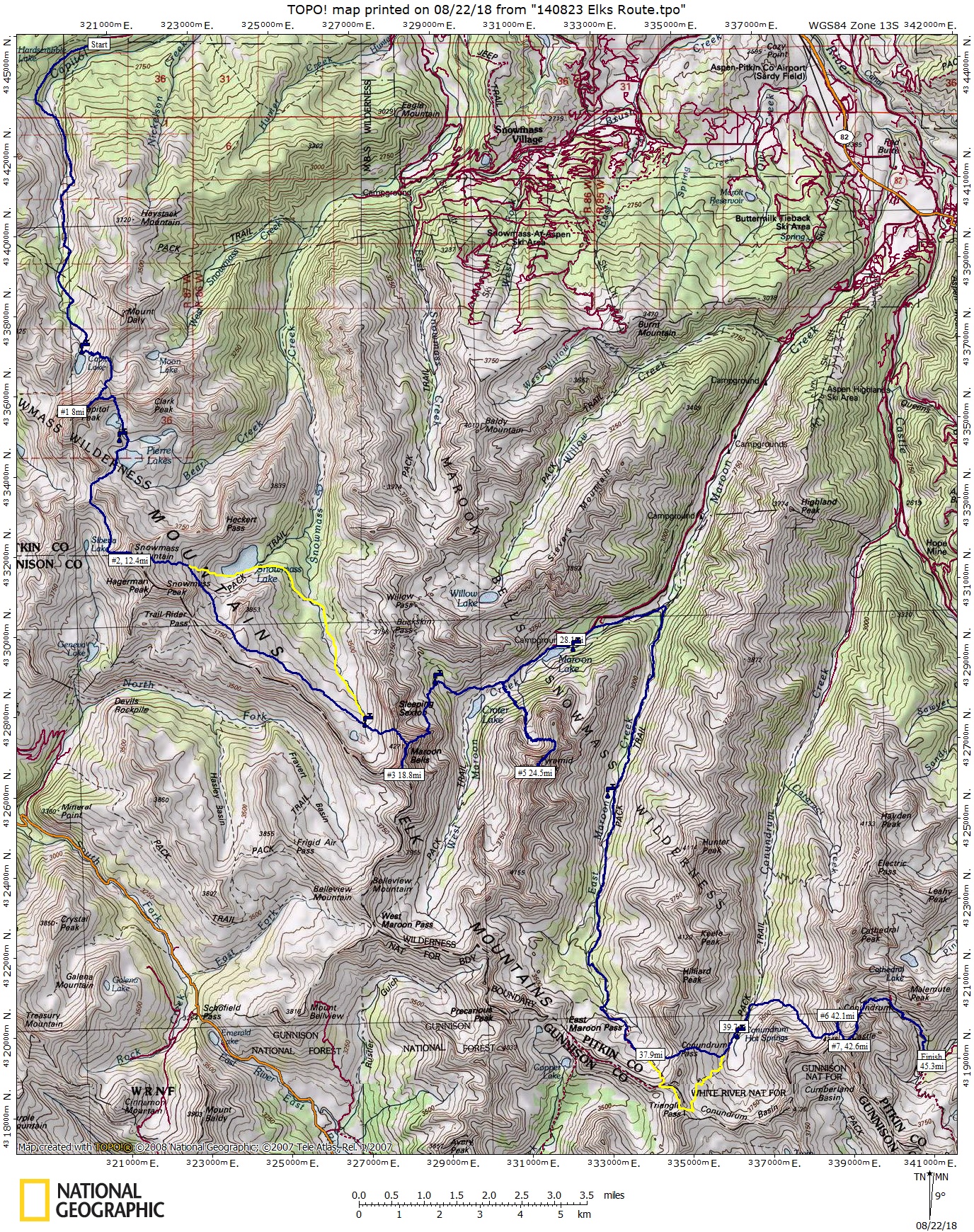
My Strava track for the route I ran.
I’m still working on a video from the 80km I ran on the course, so hopefully will have that put together by next week.