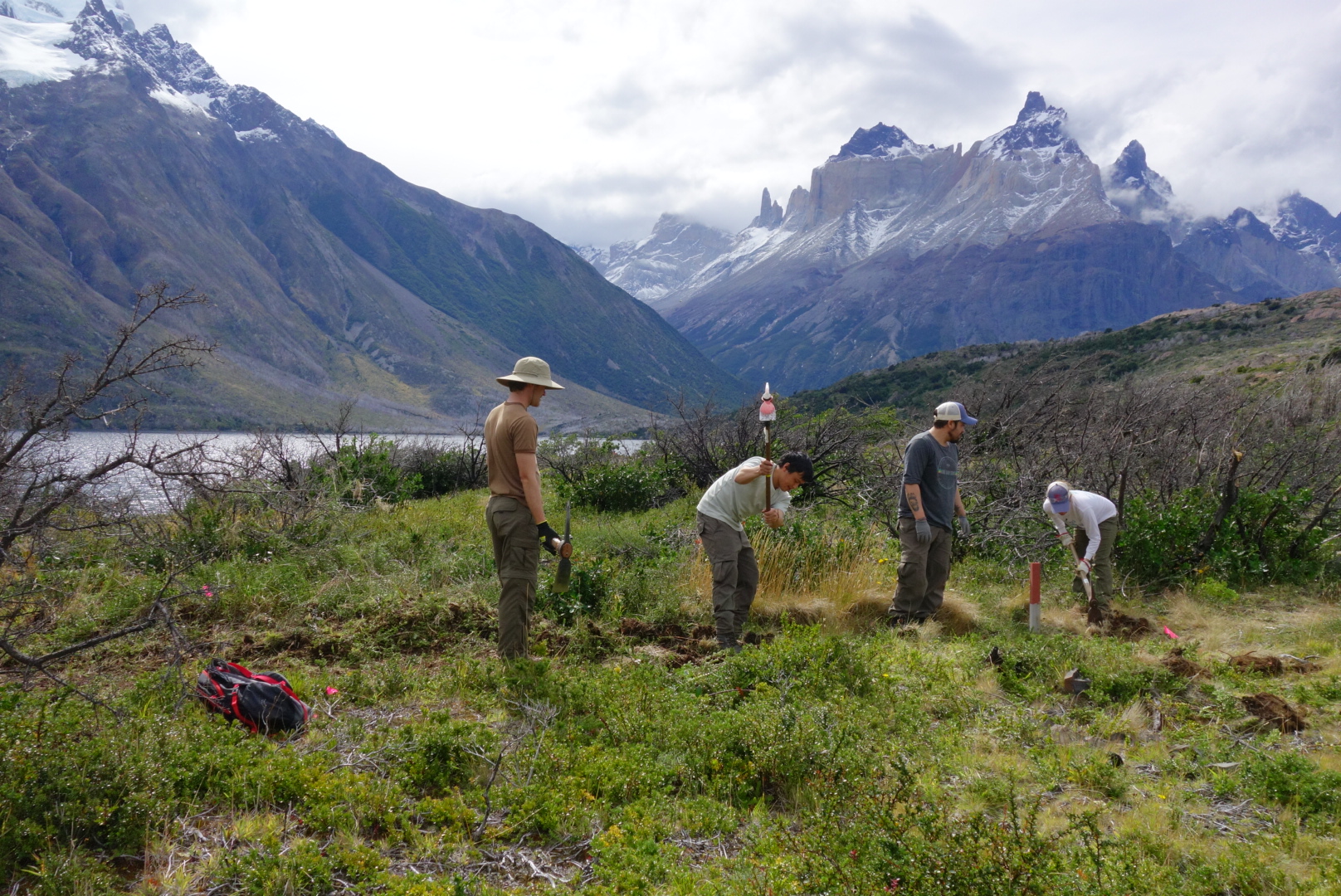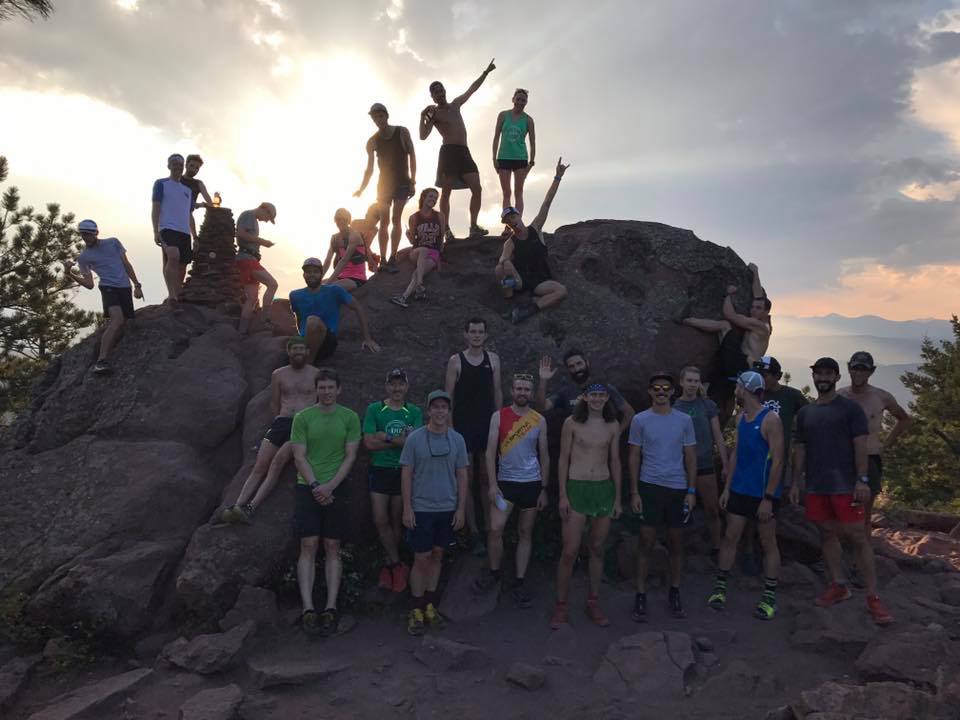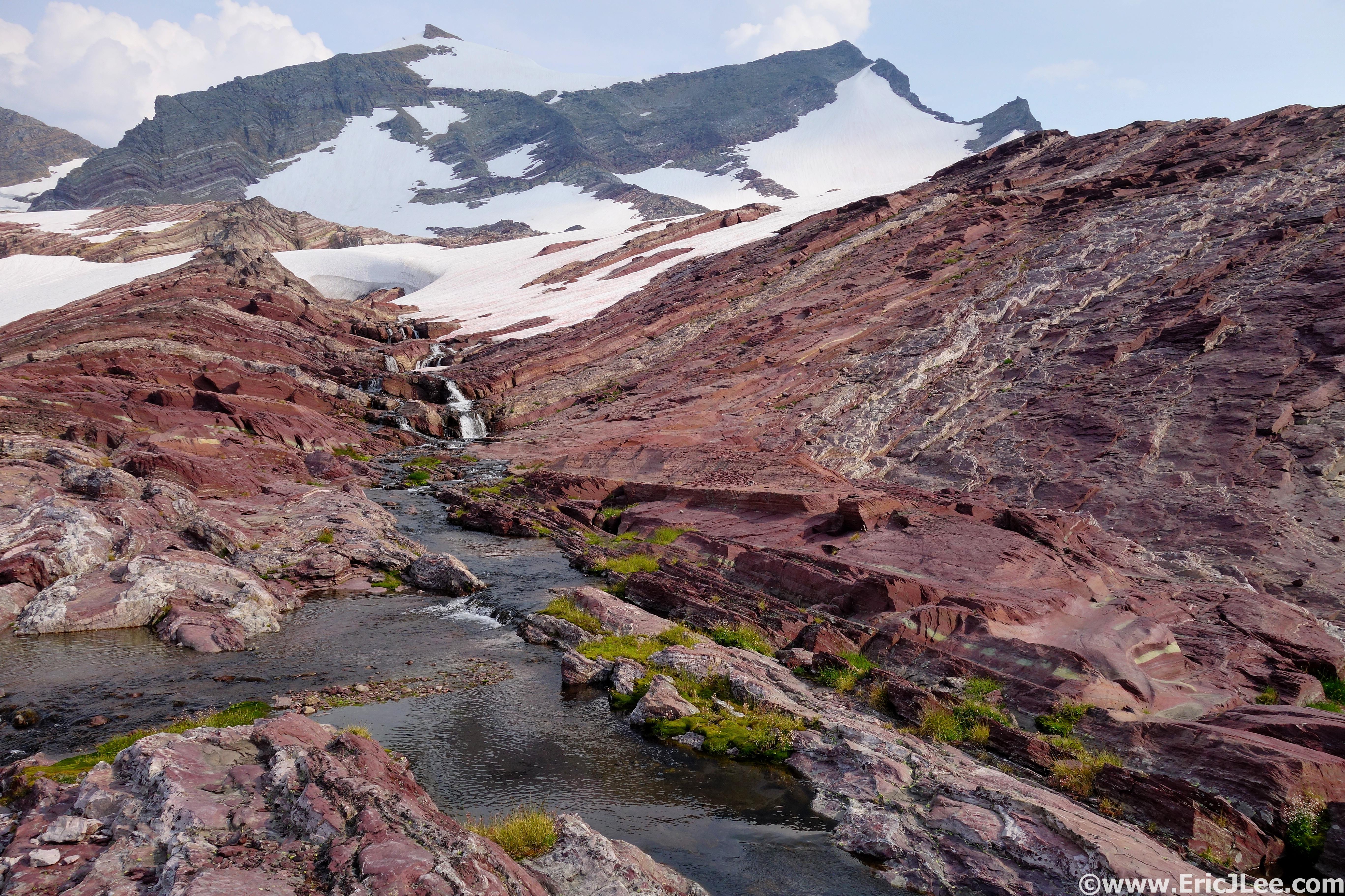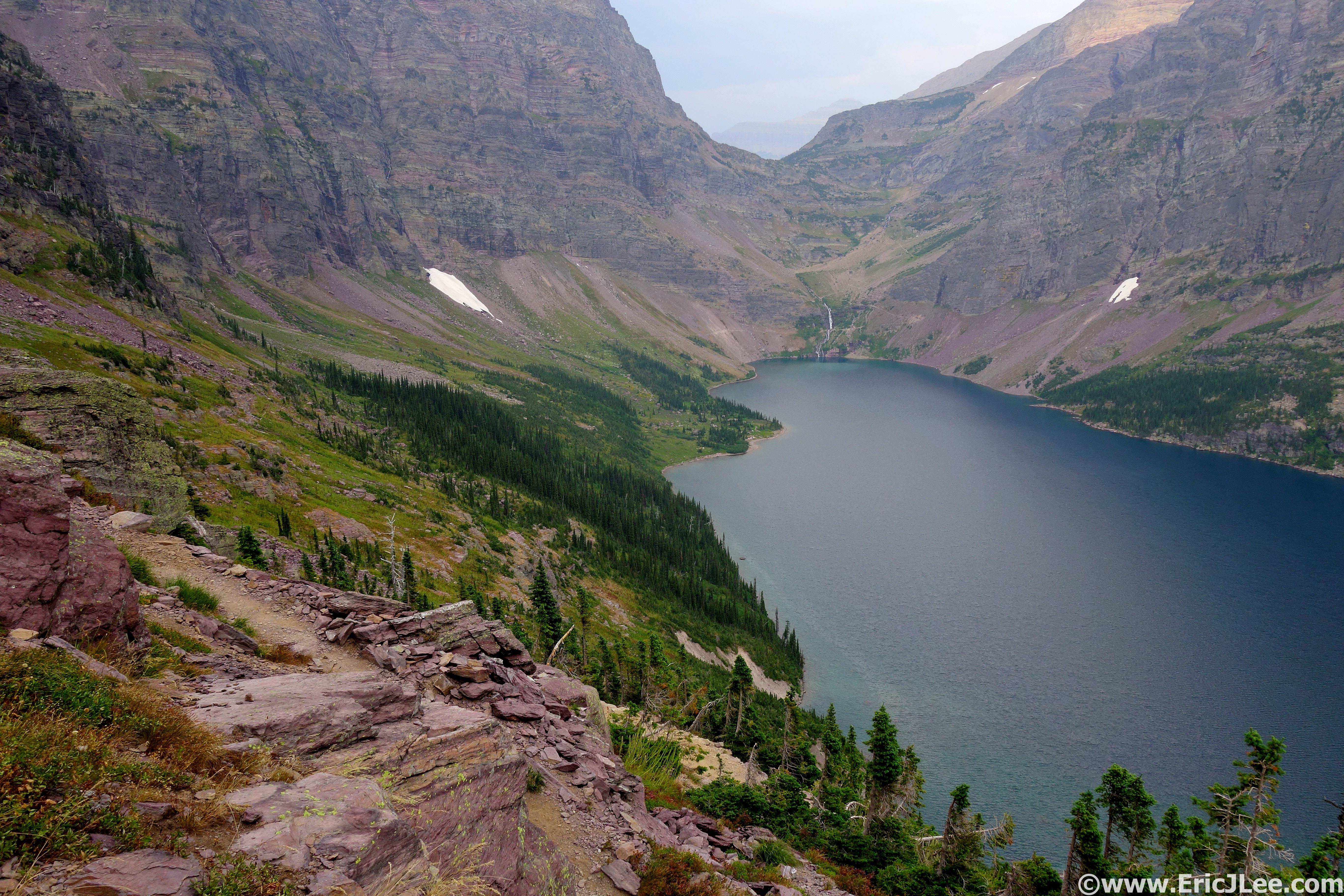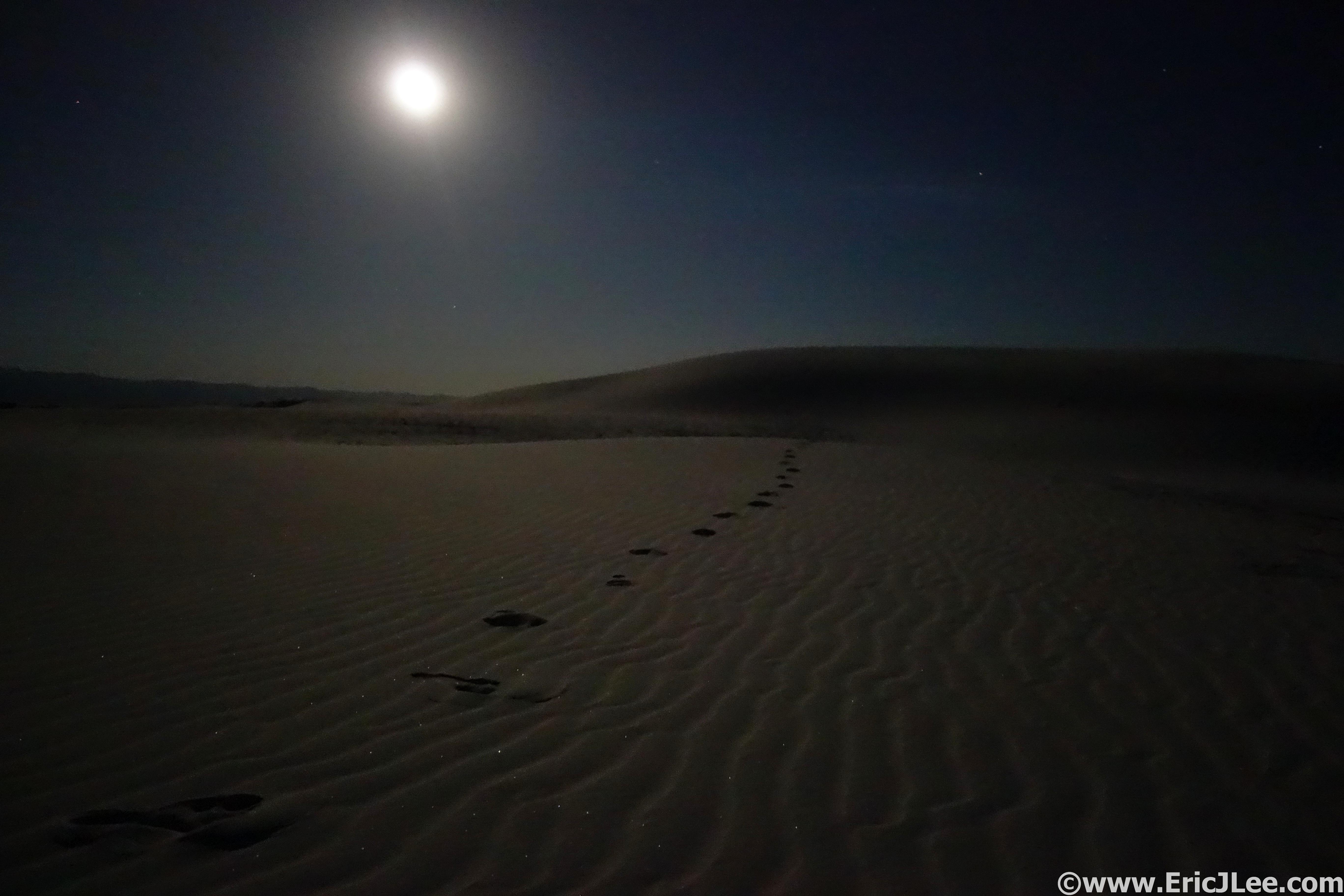
It’s been quite some time since I’ve written anything here, but life has been far from boring during the past three months. Mostly I’ve just been enjoying being home, catching up with friends, wandering around Colorado and Utah and even doing a bit of work. Though the international travels have been put on hold as I search for full time employment, it doesn’t mean the adventures have stopped. During a week long holiday visit back to California, I took advantage of some nice weather to head to Pinnacles National Park to complete my 11th National Park Ultramarathon (12/28/17).
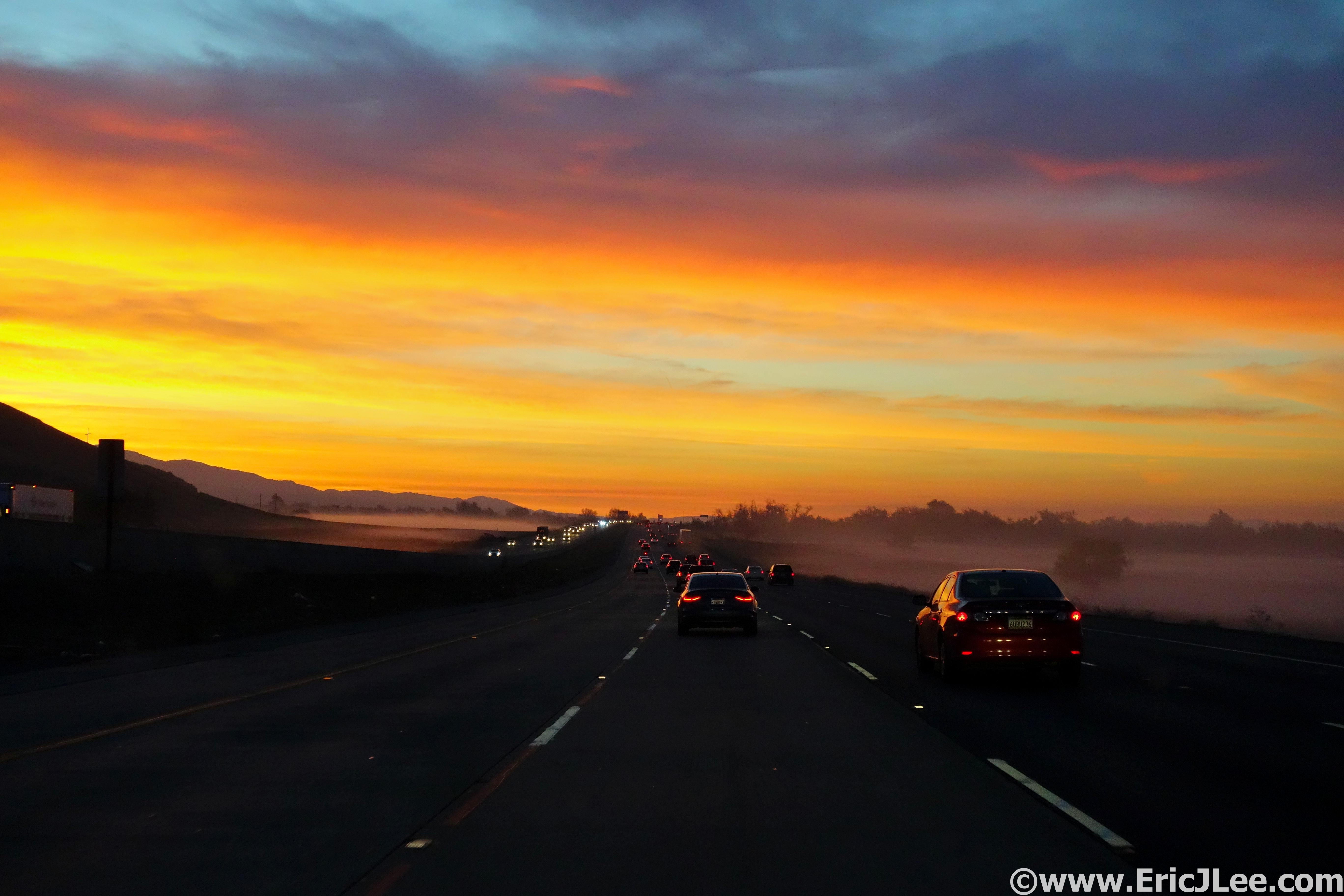
Sunrise along Hwy101 enroute to Pinnacles National Park.
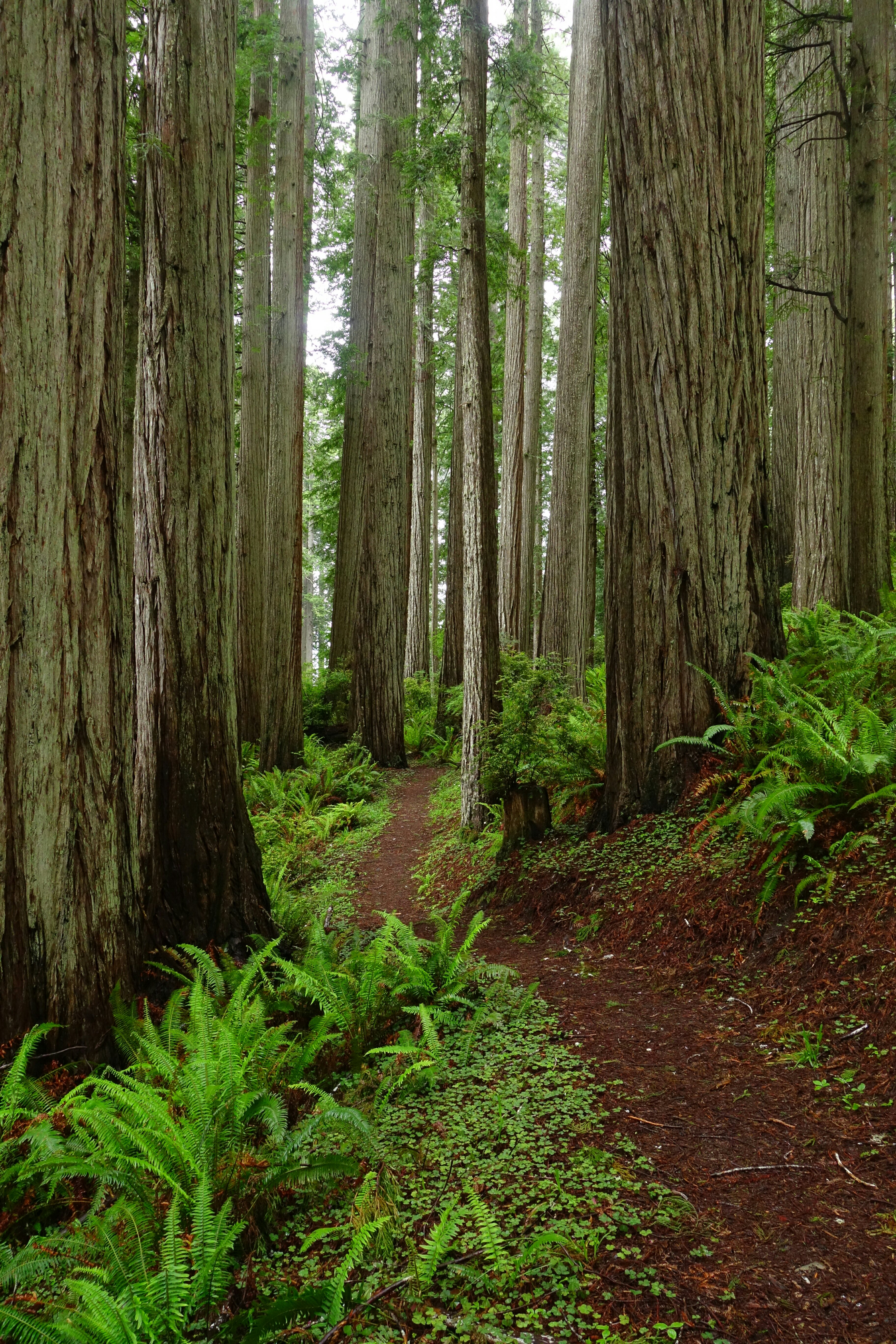
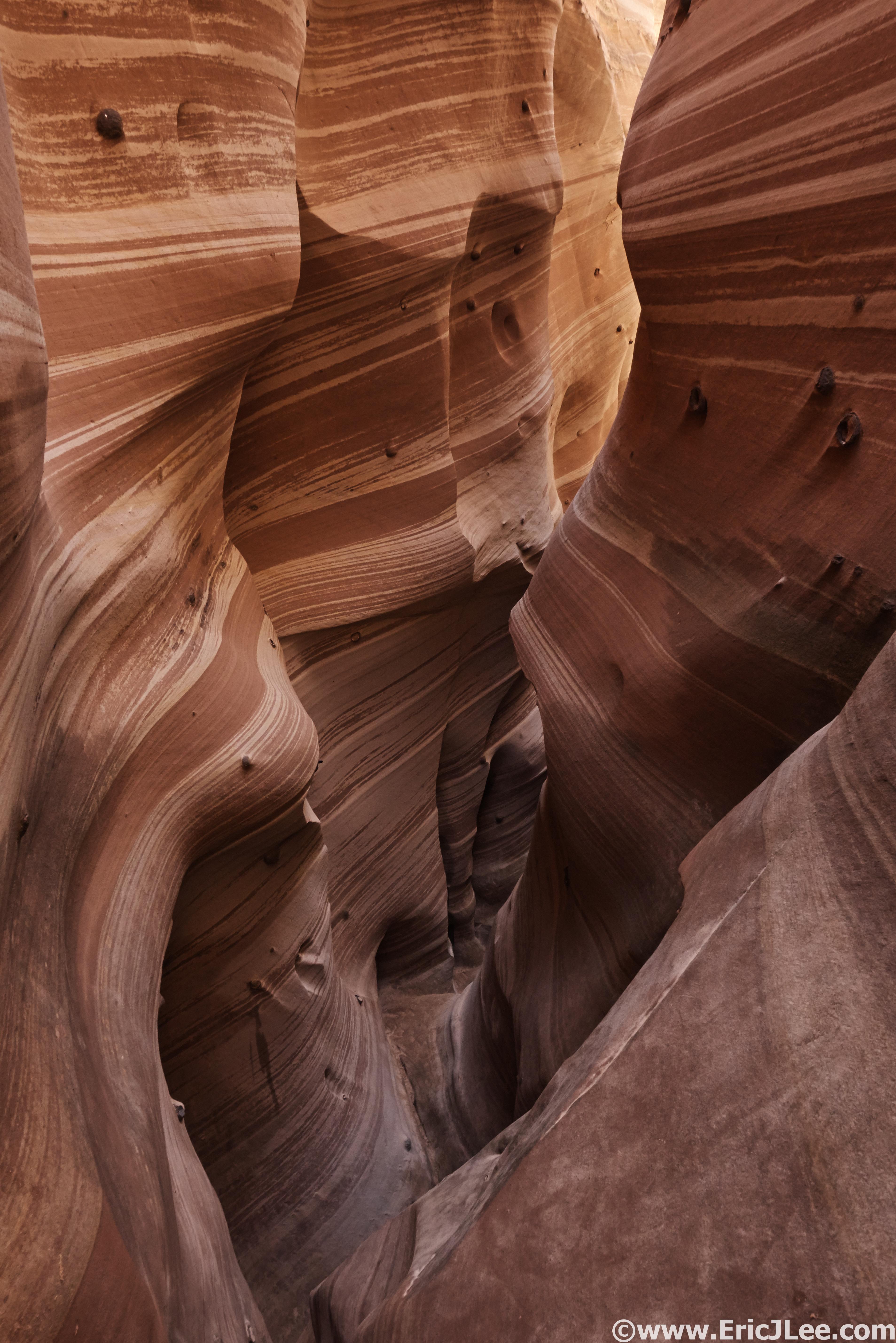
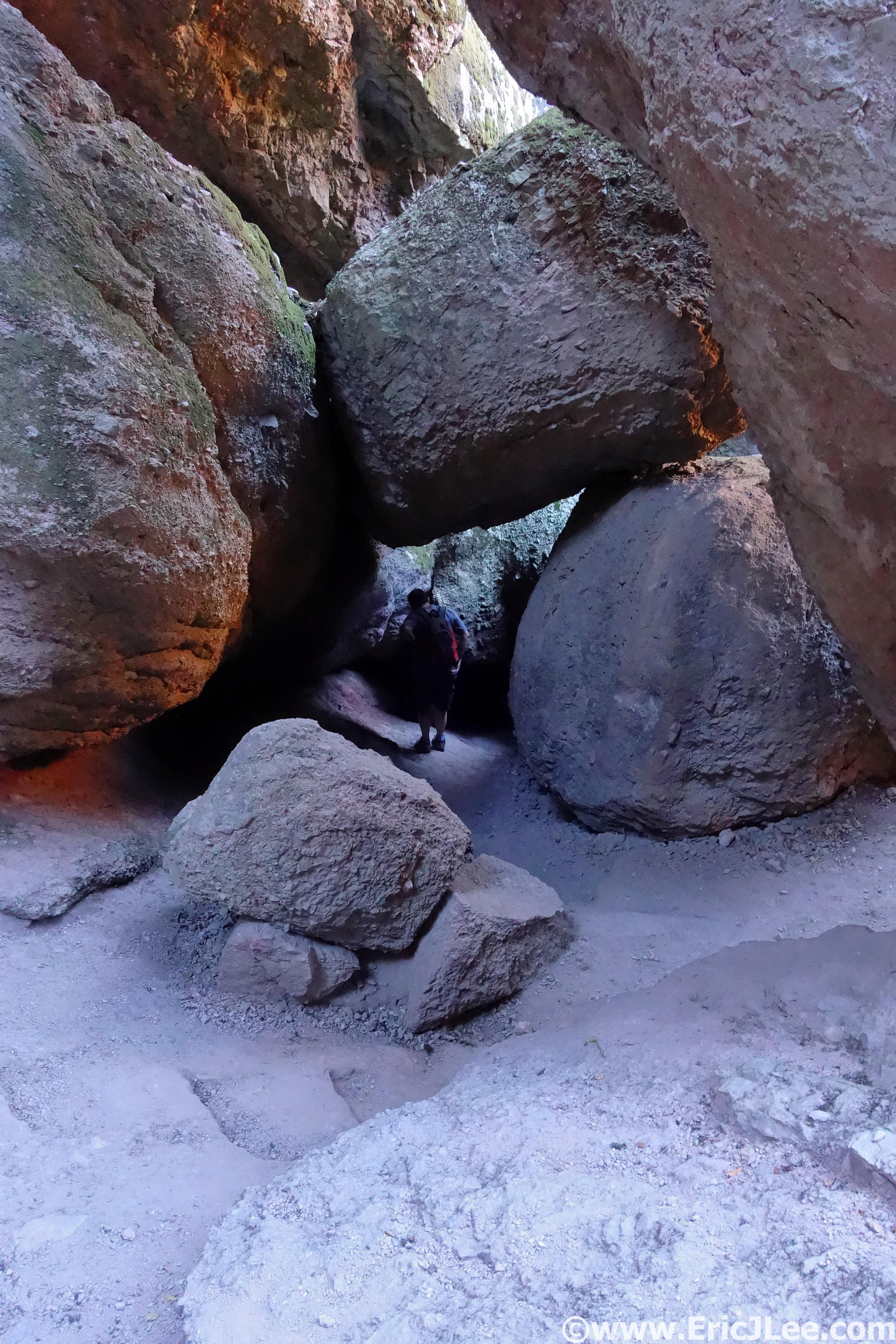
My mom and I made the drive down to this lesser known park just South of San Jose, CA where she dropped me off at the visitor center near the East Entrance. I began my morning jogging along the Bench trail into Pinnacles on a chilly (31F) California winter day. The trails were beautiful smooth double track as I cruised up the dry wash past the Old Pinnacles TH and onto the Balconies trail. Volcanic rock cliffs rose up all around me, and the dry river bed all of a sudden disappeared into Balconies Cave. I pulled out my headlamp and hopped my way into the darkness, twisting around giant boulders, scampering up rock staircases and ducking under a series of chock stones before finally reappearing on the other side. A neat little detour before returning to the smooth double track and arriving at the Chaparral TH (5.6mi, 1h1min) for a quick water refill.
Running along the Old Pinnacles trail enroute to Balconies Cave.
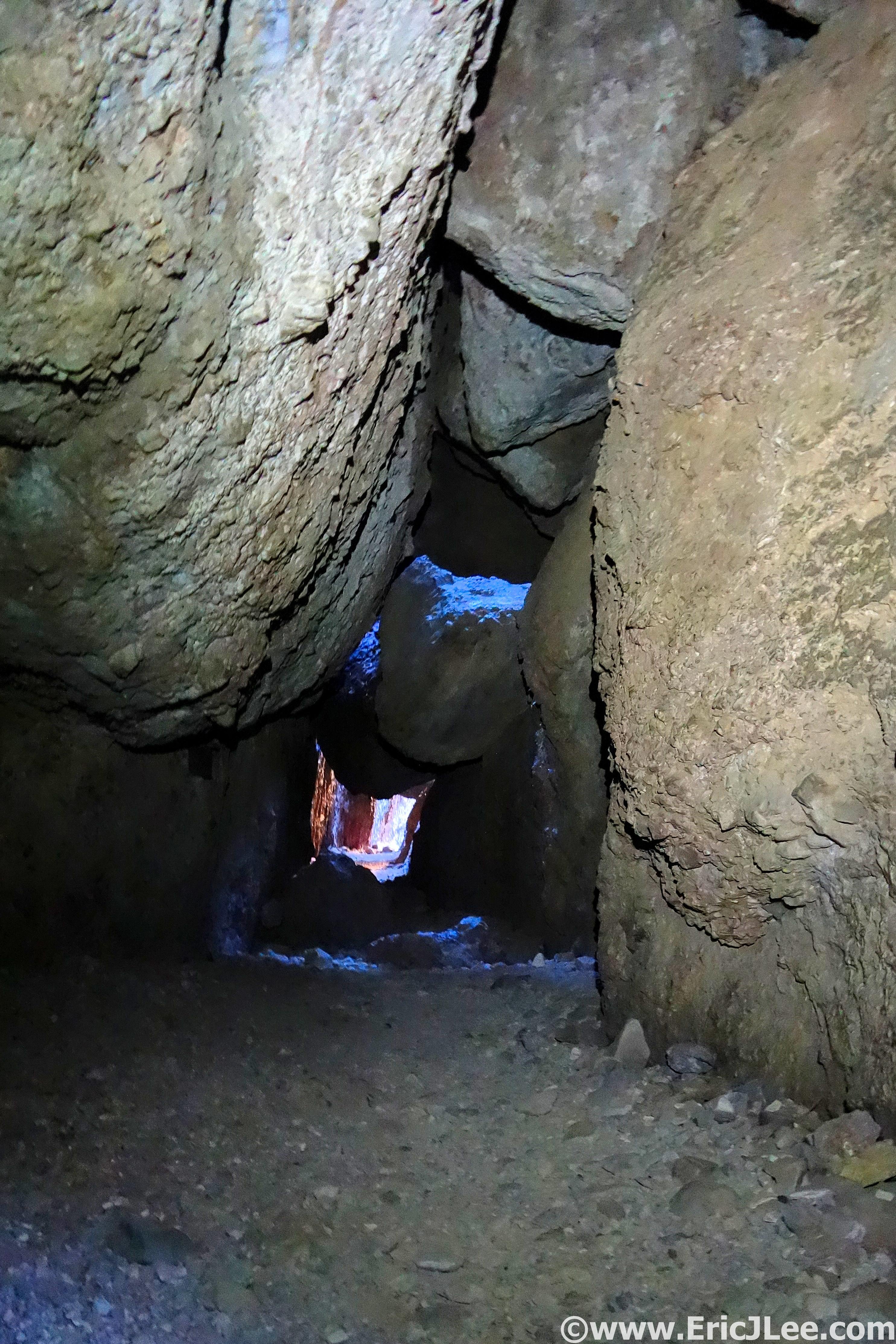
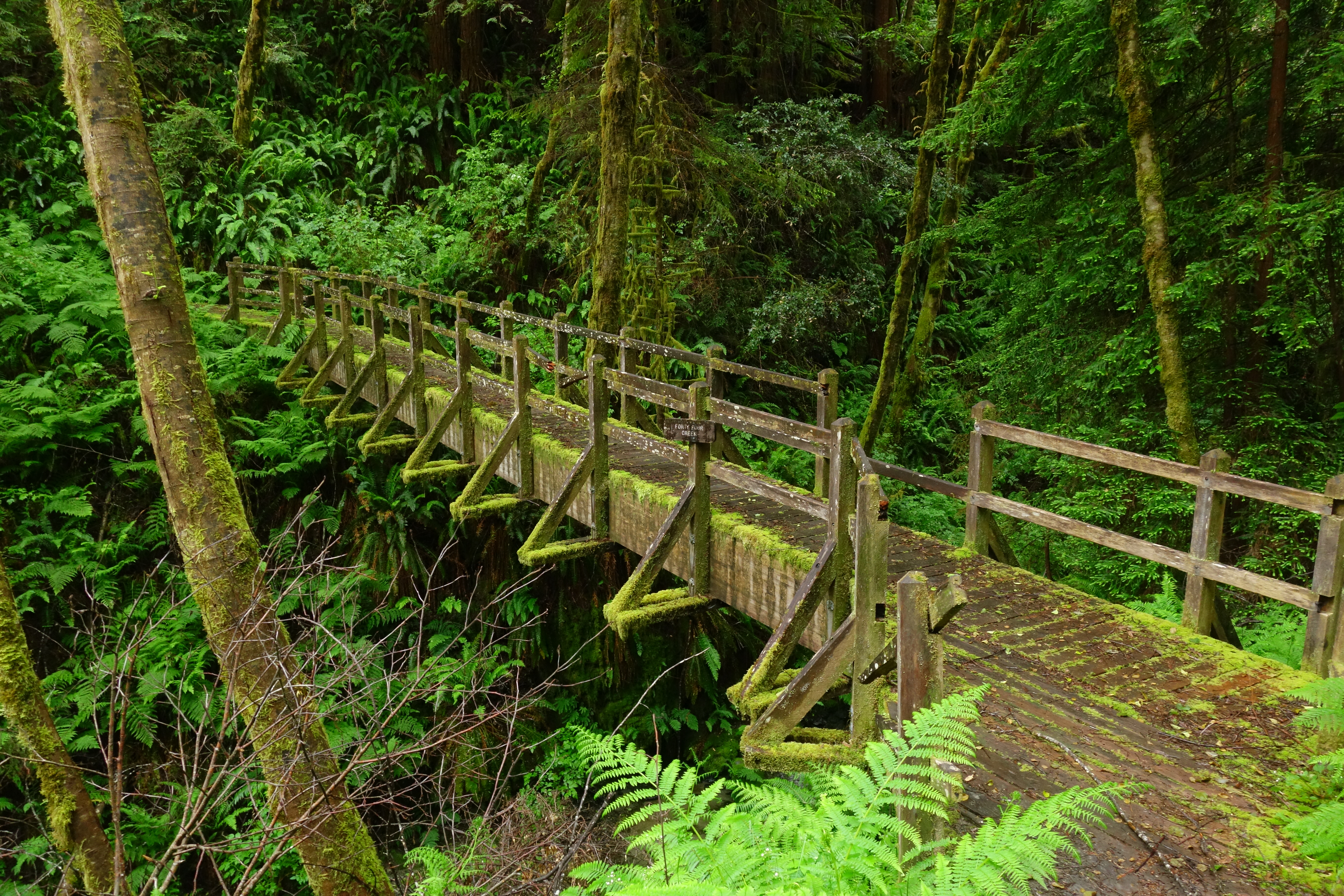
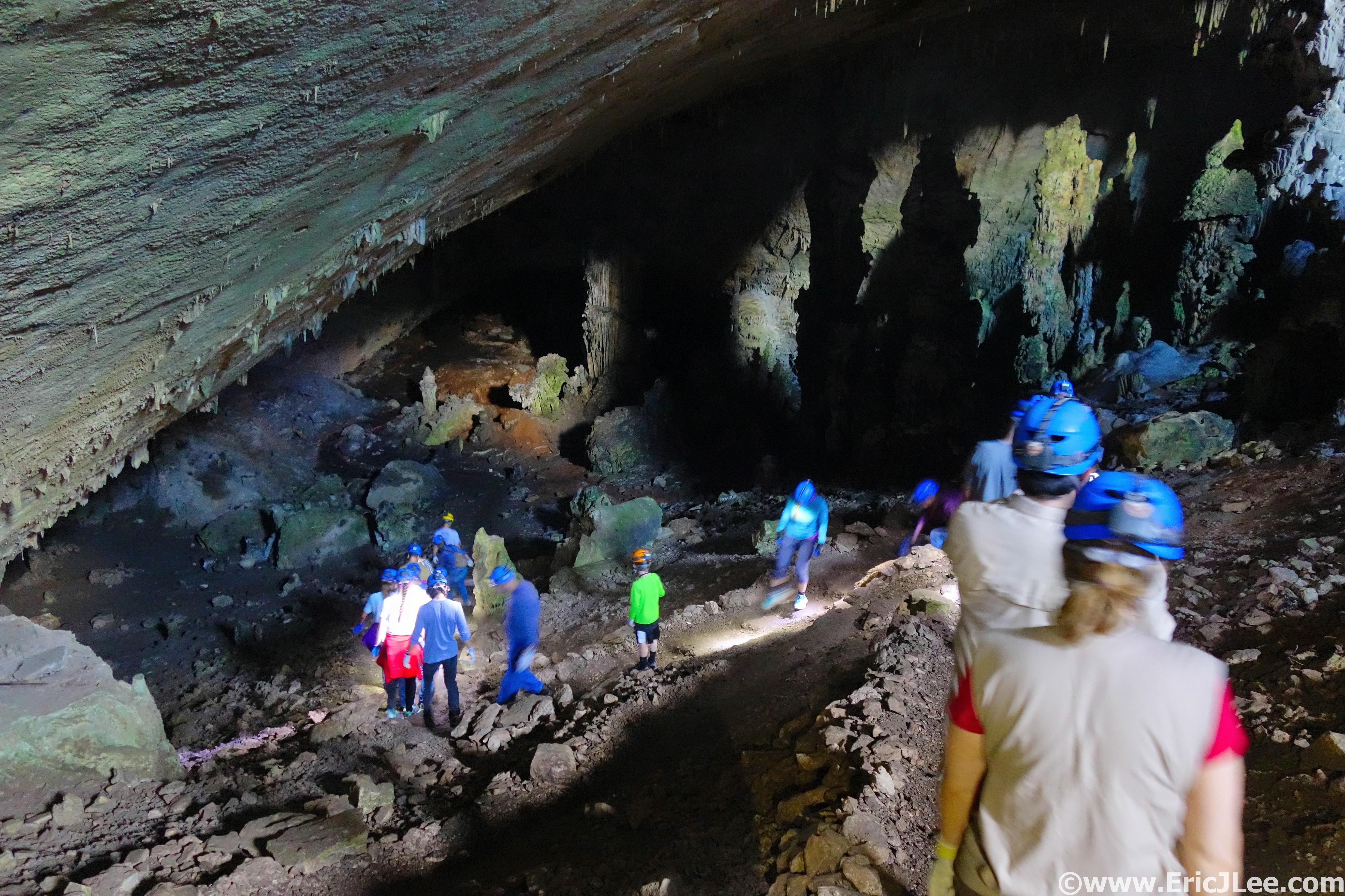
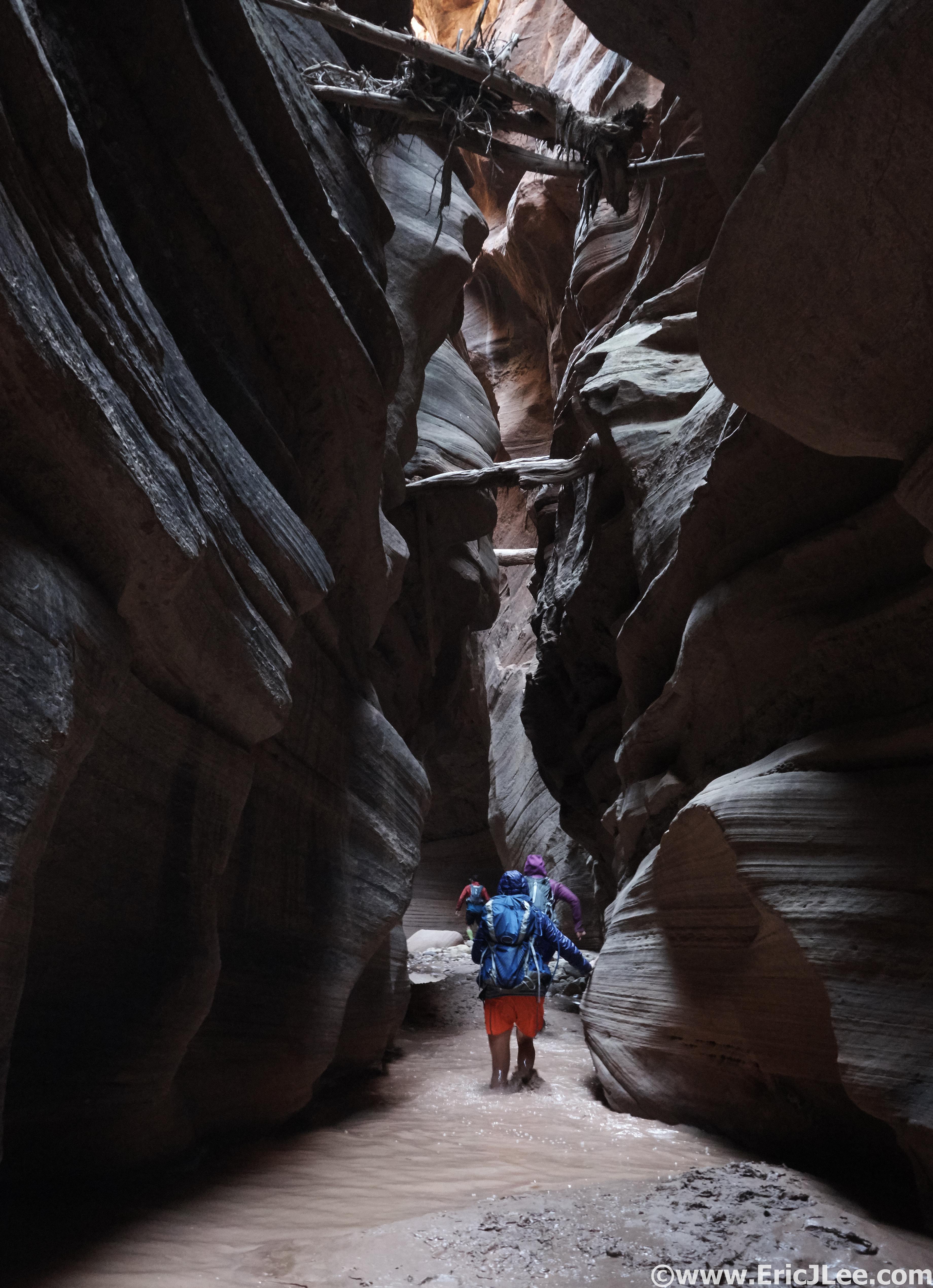
The hall of chockstones in Balconies Cave.
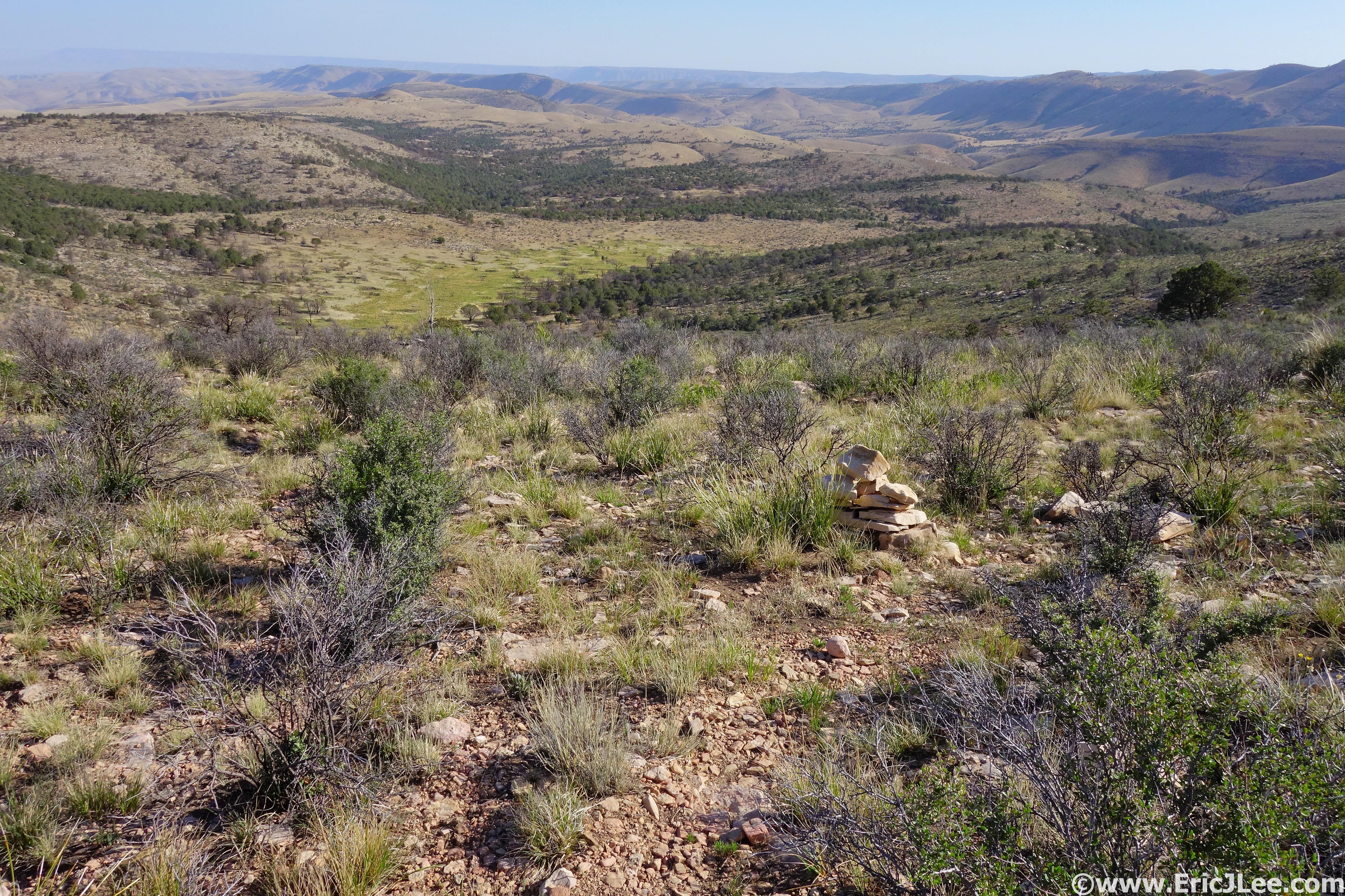
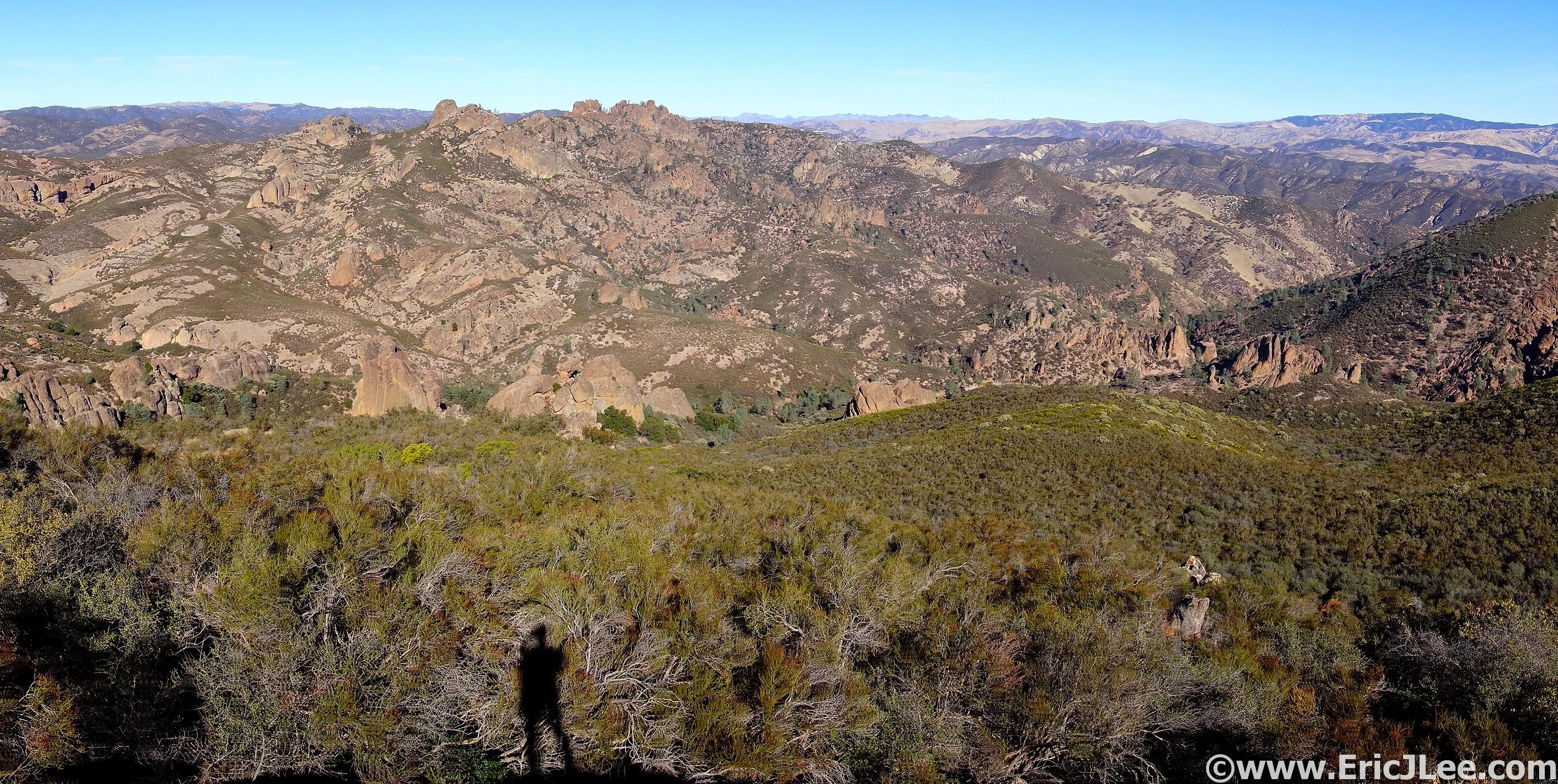
After the Chaparral TH is when the fun began, as I followed the swooping Juniper Trail up up up to the Tunnel trail and into the heart of the rock formations that make up Pinnacles National Park. The trail was never too steep, but steadily climbed up to the junction with the High Peaks trail where I hung a right and ascended some steep cut rock stairs to a spectacular view of the valley laid out below. Rock spires jutted out of the mountainside all around, though I wasn’t lucky enough to see one of the famed California condors soaring overhead. After another short section of rock stairs the trail smoothed out and I cruised on down toward Bear Gulch Reservoir, only briefly stopping for a few photos and to chat with my Mom as she hiked up the High Peaks trail.
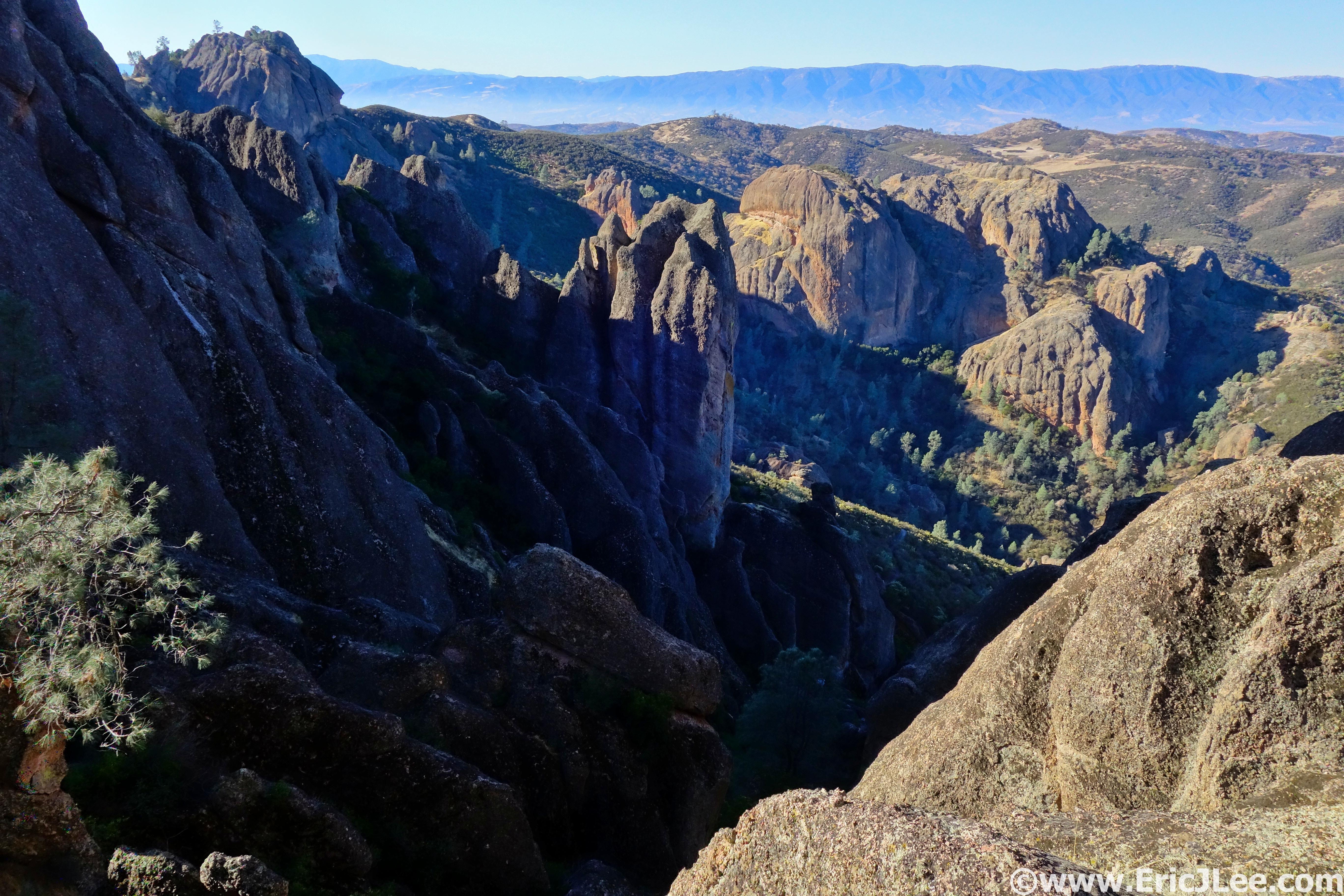
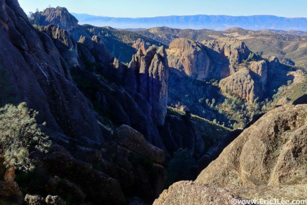
View down from the Tunnel trail, rocks rocks everywhere.
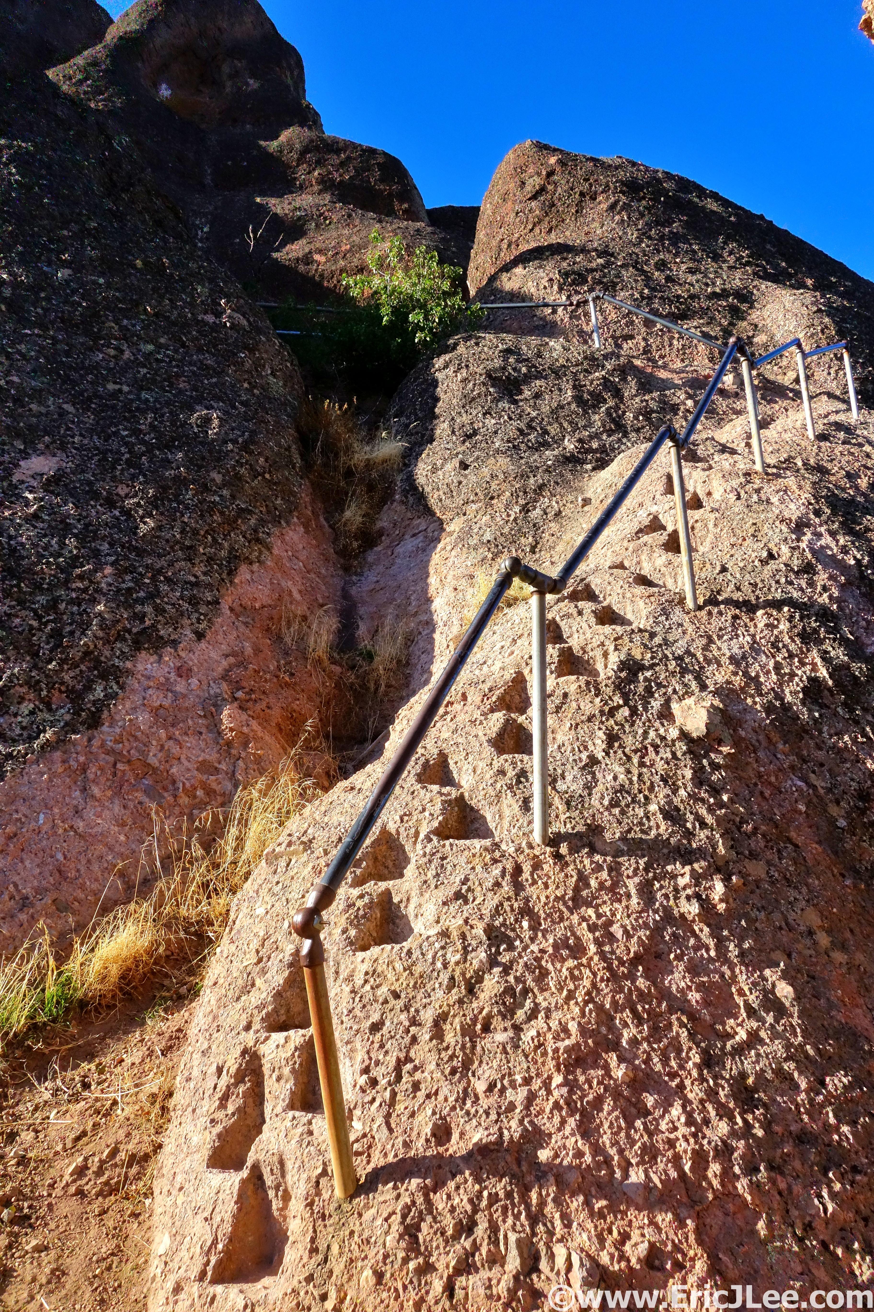
Some of the rock stairs cut into the High Peaks trail.
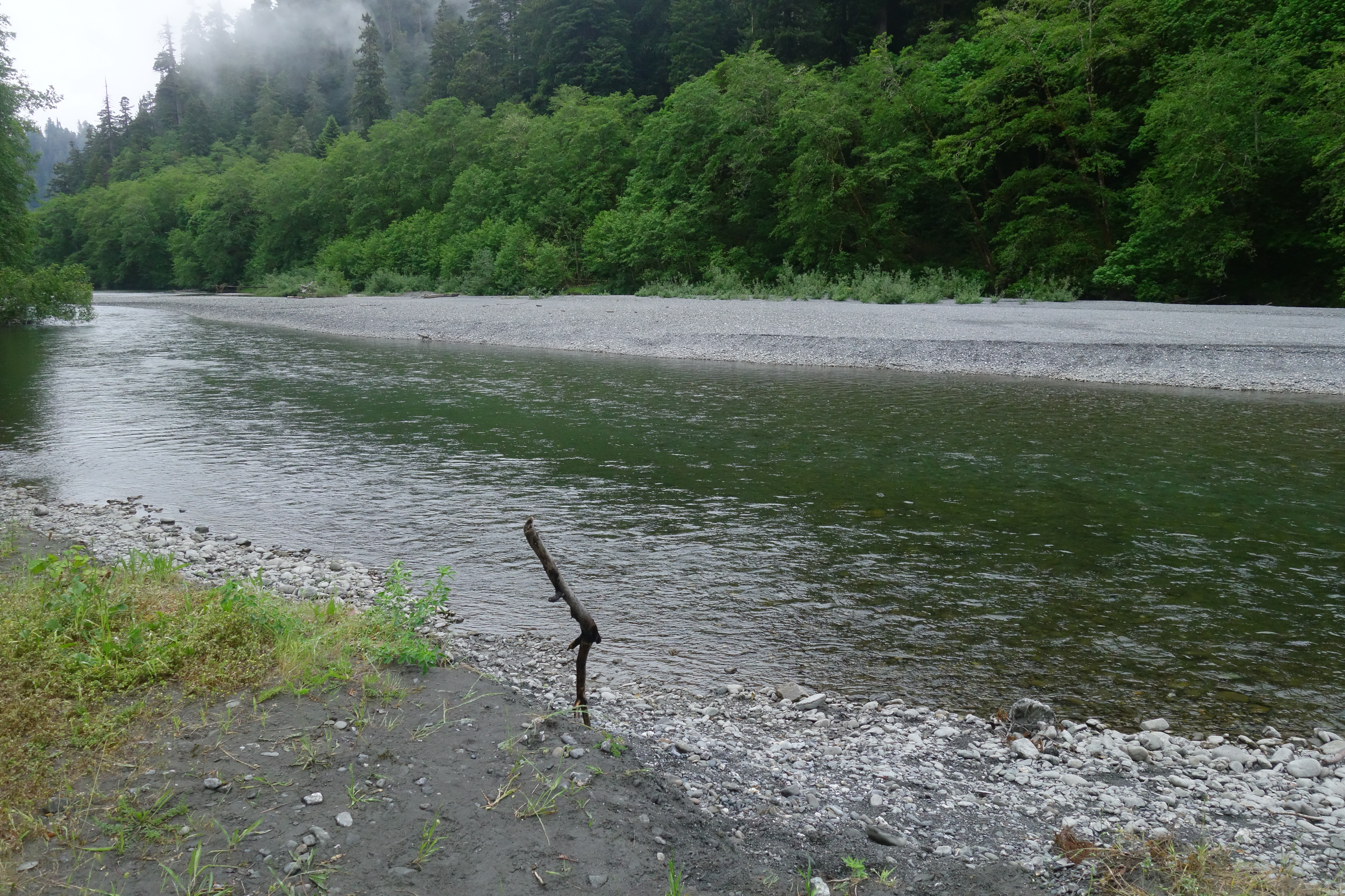
I paused briefly at Bear Gulch Reservoir (10mi, 2h) to take in the little oasis amongst the dry chaparral, and then promptly setoff on the trail to the Chalone Peaks, a steady 1800ft climb to the high point of the park. Though the sun was beating down on me the chaparral was tall enough in spots to provide a little shade from the December sunshine. I made good time hike/jogging my way up to the fire tower atop North Chalone peak (13.3mi, 2h50min), taking in the panoramic view of the High Peaks region of the park and the valley far below. After a quick snack I was off to South Chalone Peak on the ‘unmaintained’ trail, which turned out to be a pleasant rough single track. The view from the far point of South Chalone Peak was uninspiring and hazy, so I skipped the true summit and headed back the way I came.
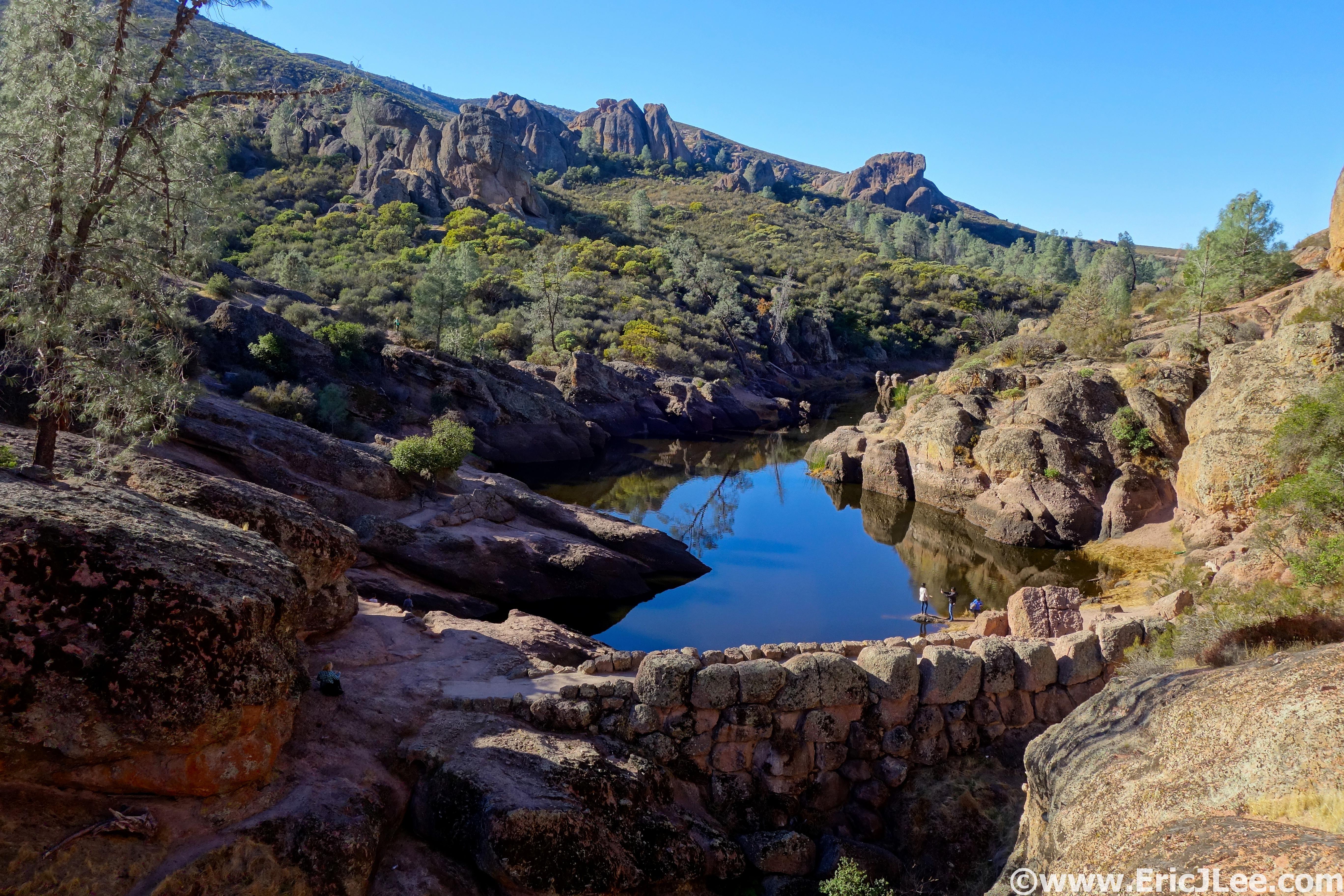
Bear Gulch Reservoir, tucked in amongst the rocks.
Panoramic views of the park from just below North Chalone Peak.
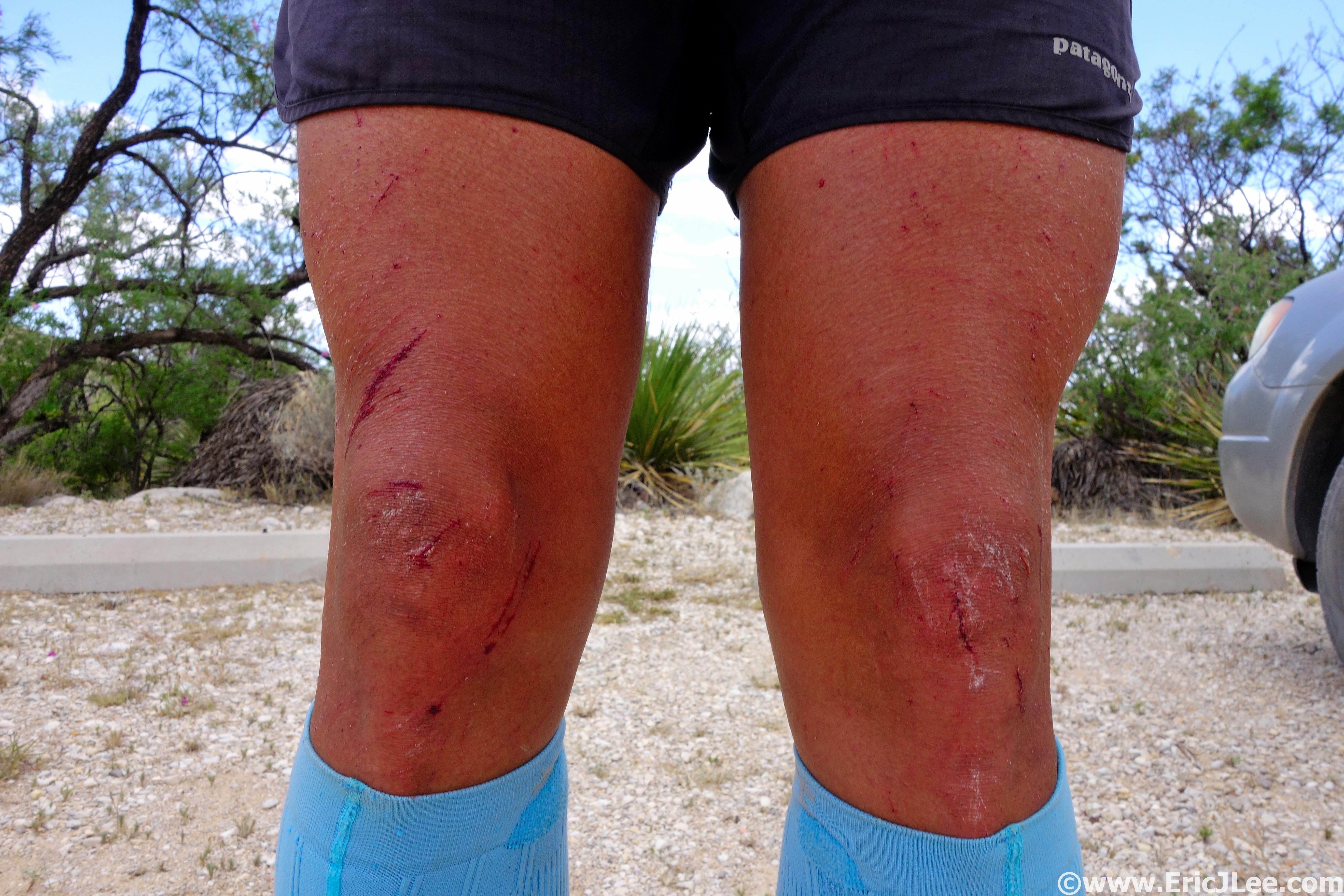
The jog back to Bear Gulch Res was uneventful as I cruised on down the smooth trail in the warm sunshine. This time around the reservoir was teaming with dozens of tourists, so I quickly scampered on by and down into Bear Gulch Cave. After winding my way around the giant boulders that plugged up the valley bottom I popped out on the Moses springs trail by accident, so followed that back into the madness that was the Bear Gulch day use area (20.7mi, 4h25min). I could feel the fatigue setting in at this point, as I definitely wasn’t trained for a 27mi trail day. As I ascended the Condor Gulch trail I again ran into my mother nearing the end of her hike. The trail was hot and sunny, but the views up into the rock formations of the High Peaks were stunning. I kept a sharp eye out for condors, but no such luck again. After cresting the climb at the High Peaks trail junction it was all downhill back to the East Entrance. The final bit went by uneventfully as I cruised the smooth double track down valley and into the campground. I finished off the 26.6mi (GPS Watch) loop in 5h41min, one could definitely run it faster, and there are many options to cut the distance down into smaller segments if you’re not up for 27miles.
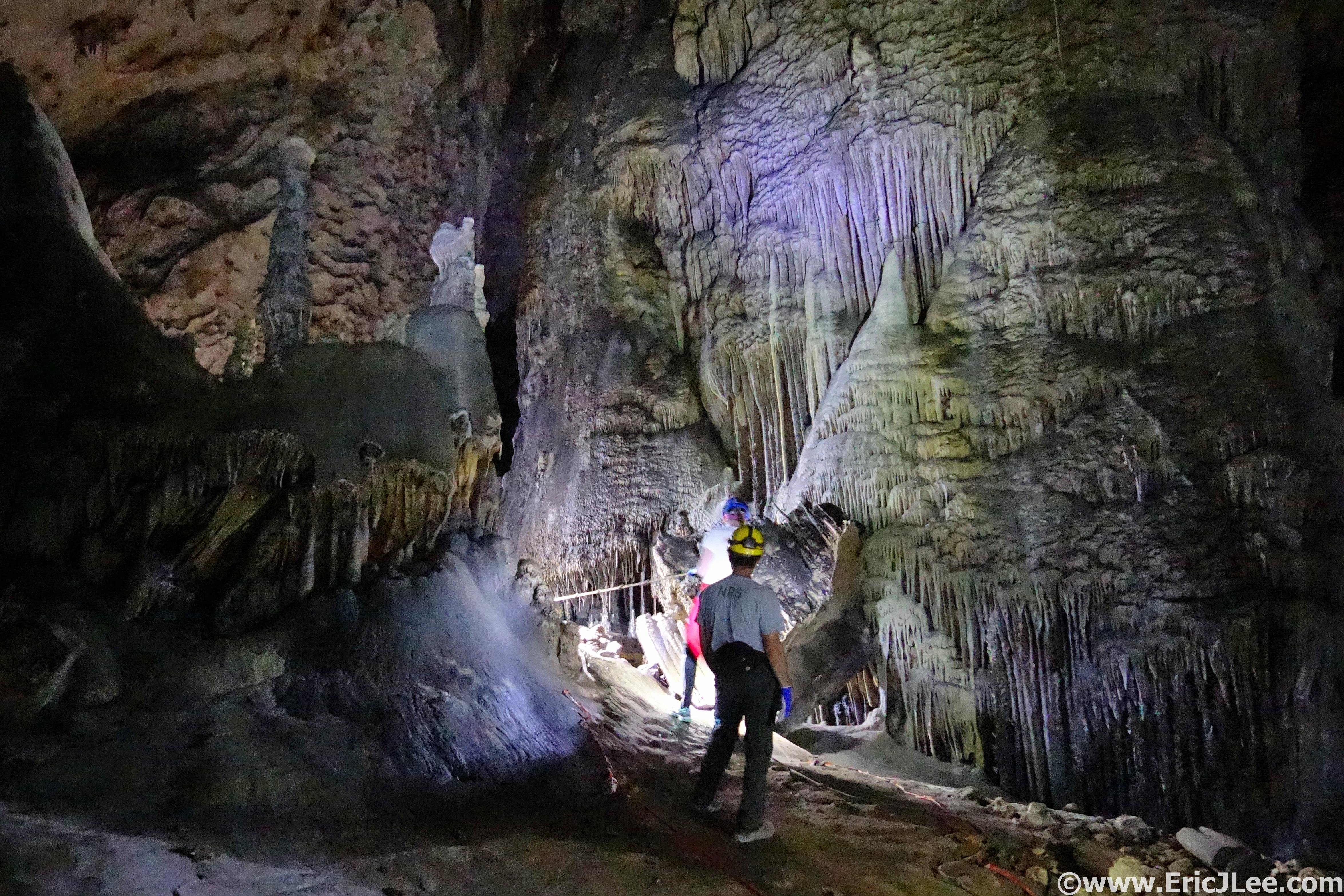
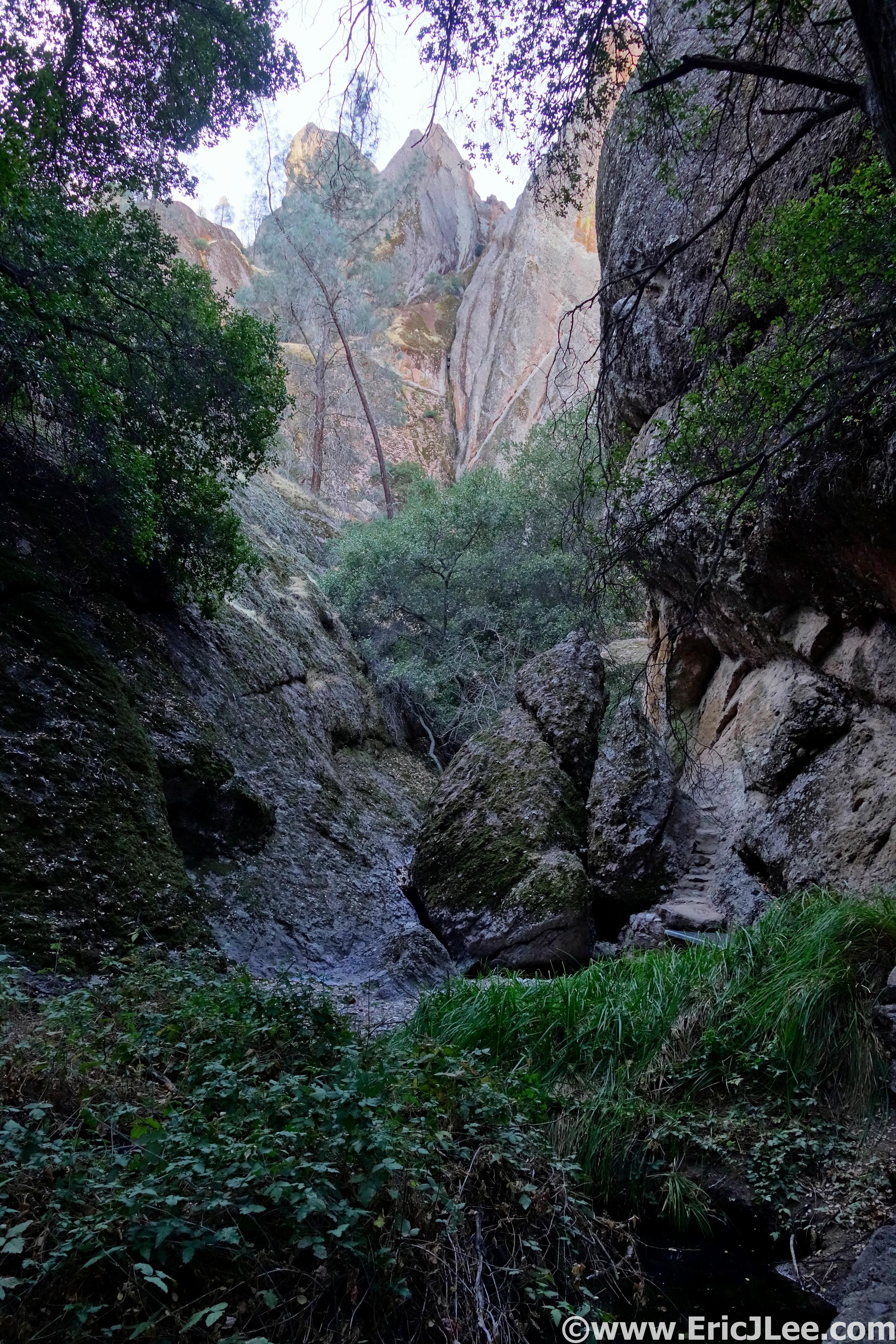
Bear Gulch Cave, more of a plugged up canyon, but still fun.
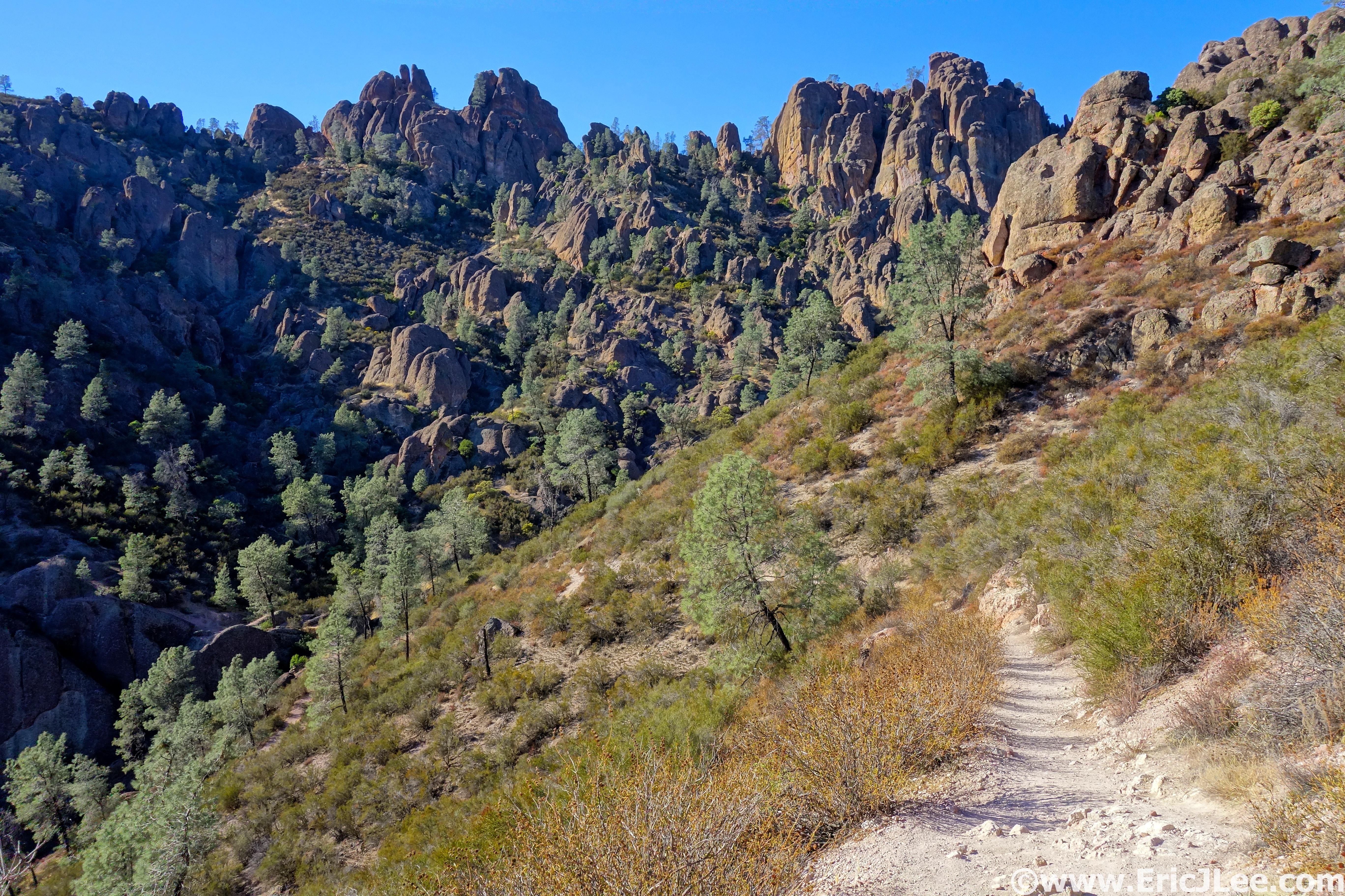
Looking up Condor Gulch toward the High Peaks section of the park.
My legs were tired and a bit sore, but it had been a beautiful day of running, scrambling and photographing one of America’s lesser known parks. While Pinnacles may not live up to the standard set by Yosemite, Glacier, Zion or Yellowstone it offers up a look into some beautiful volcanic formations, filled with elusive condors and lesser known species like the California Red-legged frog. This coupled with the fact that the trails are beautifully runnable make it a worthwhile destination if you’re visiting the Bay Area (or live there). As the National Park project moves forward I’m slowly learning more and more about the diverse ecosystems and geology that make our country so amazing and unique, each piece of the puzzle makes for the spectacular system of National Parks that I hope we can preserve for the future generations. Thanks to Vfuel for powering my runs and Ultrarnnner Training for keeping me focused, even when a definitive goal doesn’t exist.