
I grew up vacationing on the garden isle of Maui, splashing in the waves, building sand castles and occasionally fearfully snorkeling. As I grew older our vacation adventures grew a bit bolder, several times taking us to the summit of the mighty Haleakala to watch sunrise from 10000ft before screaming down the road on bicycles. That was when I first learned that some people rode bicycles UP the mountain!?!? Little did I know that the seed was planted for my own epic adventure on this island volcano.

Epic sunsets from Napili beach on Maui.
An unexpected turn in my travels brought me to the Hawaiian islands as a stop over between Asia and South America, starting my journey on Maui. Last year I set in motion a long term project to map out and run ultra distance routes in each of America’s National Parks. As of December 2016 I had completed four such runs; Grand Canyon R2R2R, Zion Traverse, Yosemite Valley circumnavigation and the Grand Tetons loop. This layover was going to be a perfect chance to explore two more National Parks; Haleakala and Volcanos. On December 20th with very little training under my belt I set out from Napili on the 2h drive to Kaupo for the start of the ‘Sea to Summit’ route of Haleakala.
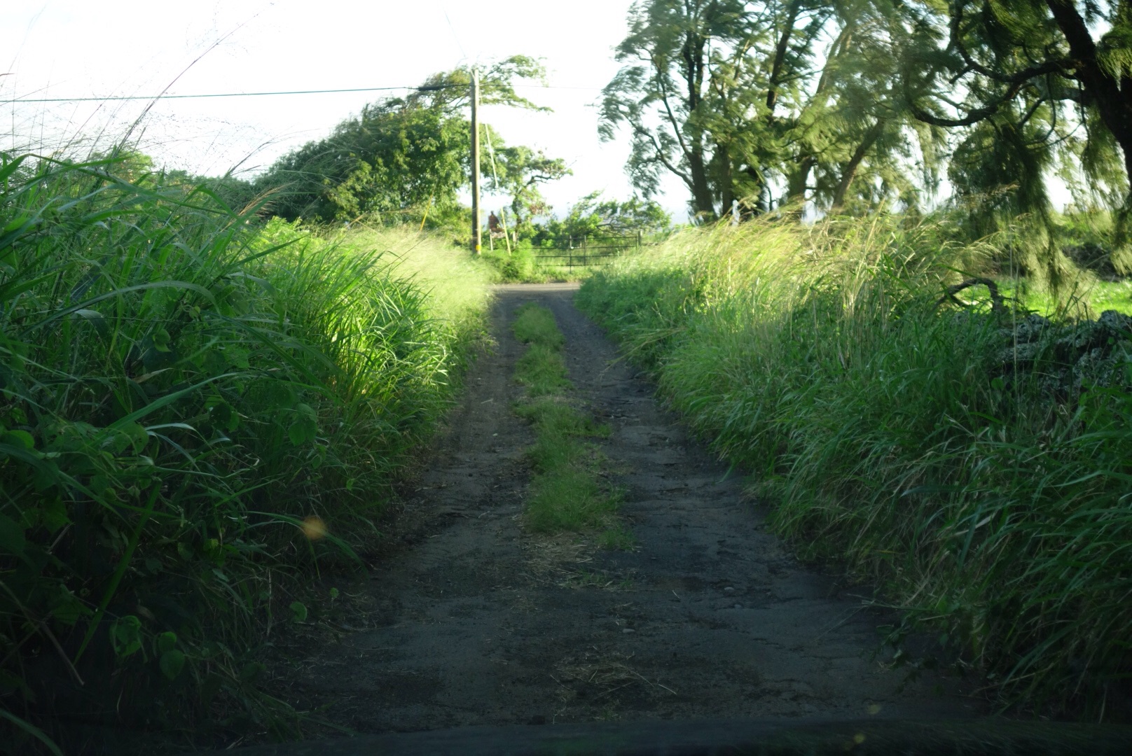
The jungle slowly absorbing the road to the Kaupo ranch.
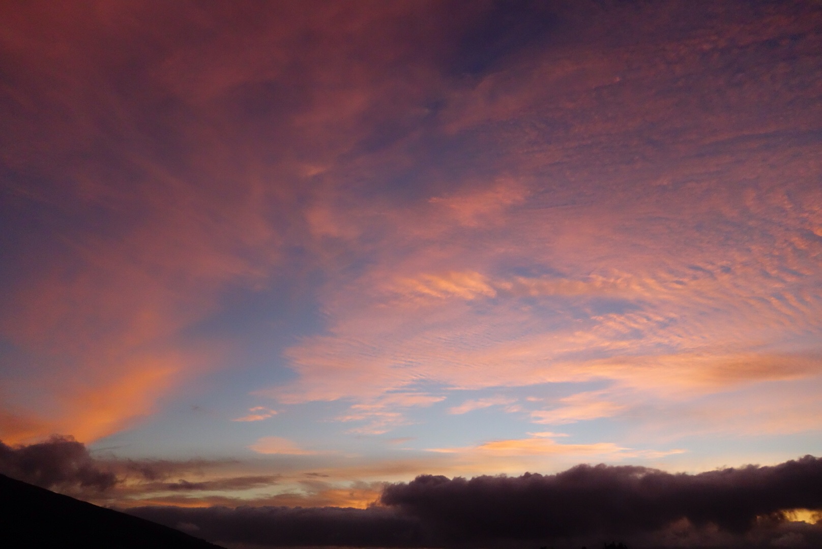
Sunrise from the Kaupo ranch trailhead
Just after passing the Kaupo store I turned left up an overgrown ‘paved’ road and headed up the mountain. After 1.5mi of driving through the tall grass and bumping along (2wd) I reached the ranch gate and parked on the side of the road at 1500ft above sea level. One can start at sea level and run 2.5mi of road to the TH, but I opted not to. I hopped the fence and followed the Kaupo ‘trail’ signs to a dense field of grass where I promptly lost the trail in the heavily bulldozed brush. I bushwhacked up random ranch roads finally stumbling across more trail signs leading up the maze of Kaupo ranch dirt roads. I lost the ‘trail’ several more times on the overgrown dirt roads before finally popping out in a large grassy cow pasture where I was able to easily follow the marked path all the way to the National Park boundary. The route had been brushy and muddy to this point, but my hopes of better trail inside the National Park were quickly dashed when I looked into the waist deep grass with only faint evidence of where the trail might be, ah shit. It had already taken me 1:30 to cover a supposed 3mi (more like >4mi w detours), and things weren’t about to speed up. I thrashed my way up the overgrown Kaupo trail, occasionally stumbling on hidden rocks or tripping on a root, unable to run.
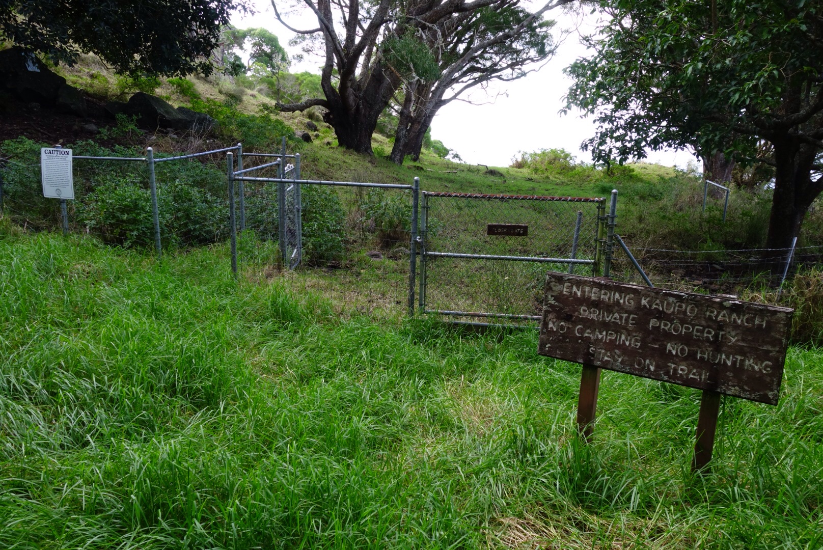
The trail at the National Park boundary, not really maintained.
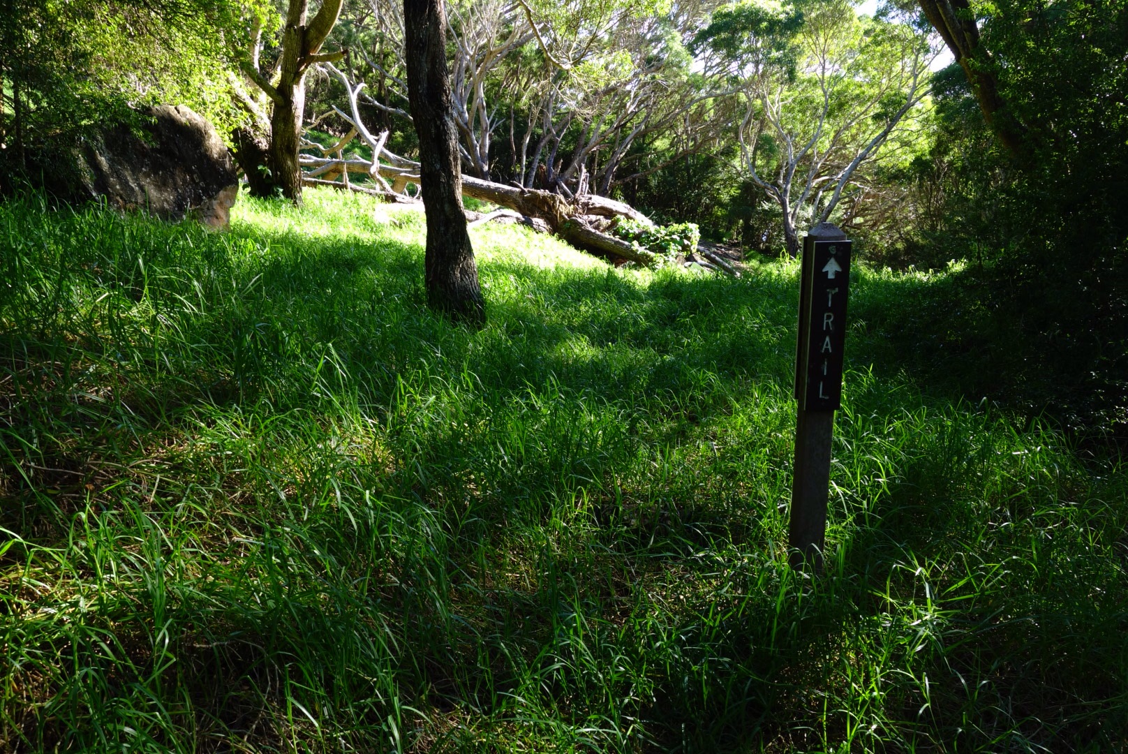
So that’s the trail? Looks like a grassy field to me.
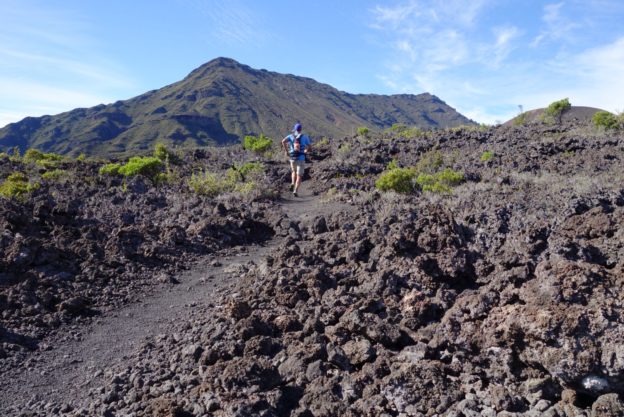
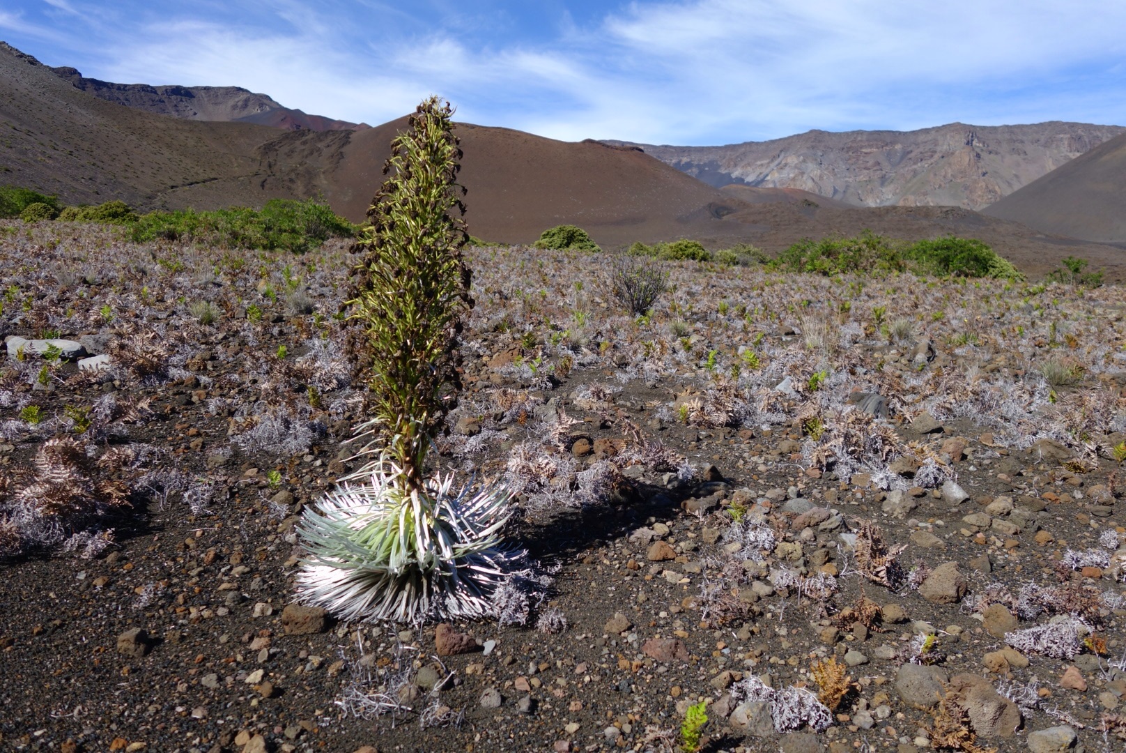
As I passed the 5000ft mark the terrain finally became more volcanic and the grass receded. My pace quickened and I finally reached the turn off for the Paliku shelter at 7mi and 6500ft (2:55). I was entering the crater and the terrain was fully volcanic, a mix of gravel and small volcanic rock. I was finally able to run, and made good time over to the Kapaloa shelter (10.1mi, 3:45). The trail was beautifully smooth packed gravel and I kept jogging all the way to the bottom of the Sliding Sands trail where the steep climb to the summit began. I passed several of Haleakala’s iconic silverswords and the crowd of tourist descending from the summit road slowly began to grow.
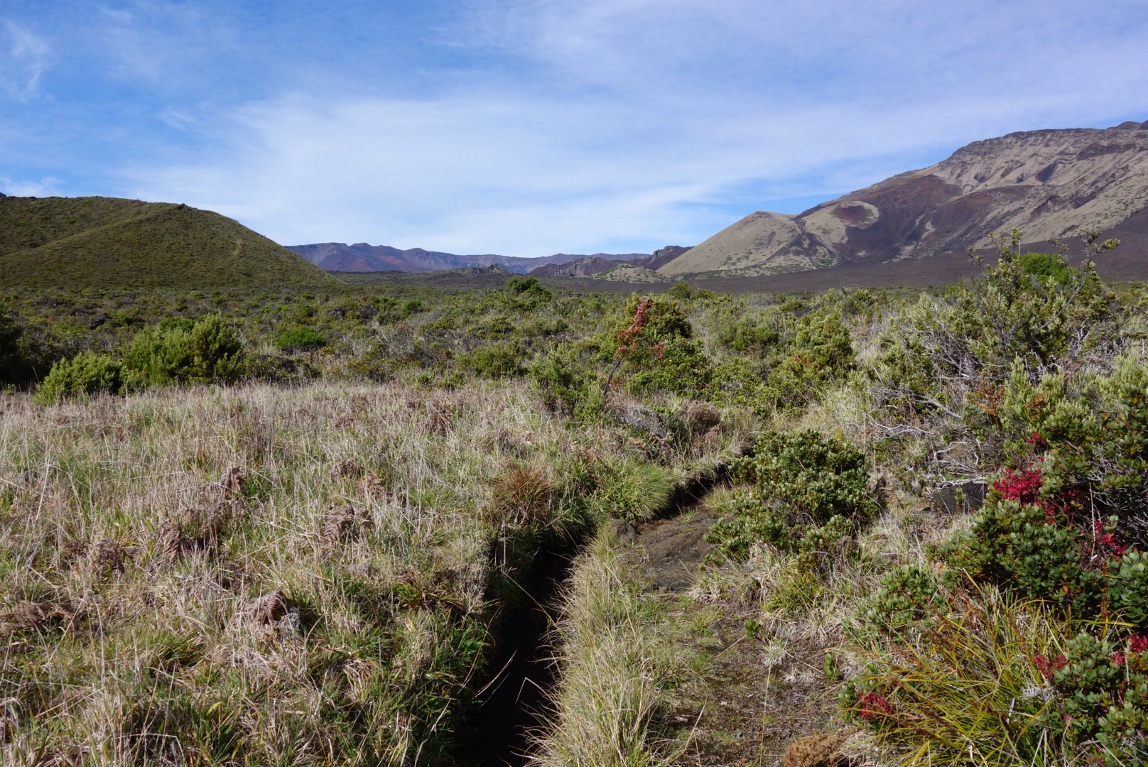
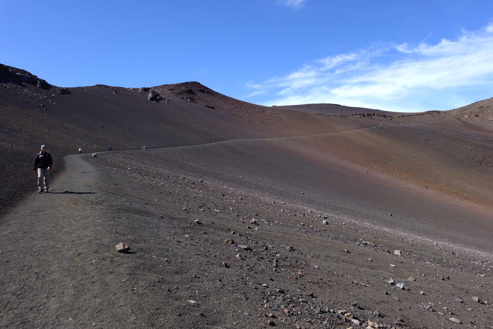
The brush clears and the trail opens as I entered the crater.

Running through volcanic lava fields, something a bit different.
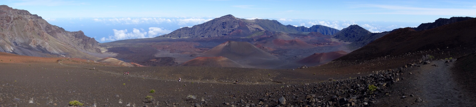
I chugged my way up the Sliding Sands trail finally reaching the summit road determined to finish off the final 0.5mi of road quickly. At 12:20p (5:35) I topped out at the Haleakala shelter at 10023ft above sea level after gaining almost 9000ft over 16miles (+2mi of detours). It was a clear and warm day, multicolored cinder cones dotted the crater and Paliku was barely visible at the far edge of the crater. Central Maui, the West Maui mountains and the ocean were all visible far below. After a few quick photos I jogged back down the road to the visitors center to refill water the went bombing down the smooth gravel of the Sliding Sands trail.
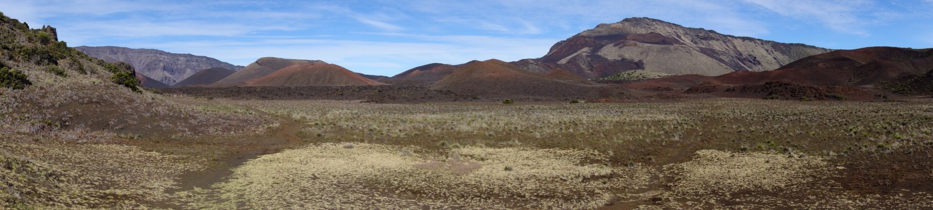
Entering the crater the scene is from another planet.
Silversword along the Sliding Sands trail.
The long smooth climb up the sliding sands trail.
The trail was fantastically fast and soon I was back in the heart of the crater slowly shuffling across. I was really starting to feel my lack of training now as the fatigue set in, but I still had 12mi to go, so go I did. The sun was relentless as it beat down on the black lava rock, finally back at the Kapaloa shelter I sat down for a short break (7:00, 22mi). It was dead quiet in the heart of the crater and I hadn’t seen another person for 3mi (and wouldn’t for the rest of the day). I took it easy across the rocky lava fields to Paliku (7:45, 25.1mi). Then back down the grass covered brushy trail to the Kaupo ranch boundary (8:50, 29mi). This time I managed to locate the proper route through the ranch roads (follow signs and blue flags), if you don’t see blue flags once you reach the brush you’re probably on the wrong route. 9h 15min after leaving my vehicle, I again hopped the fence and stopped my watch. It had been an exhaustingly beautiful day (32mi +>2mi of detours, 9000ft gain/loss) and for about 80% of the route I had the trail to myself.
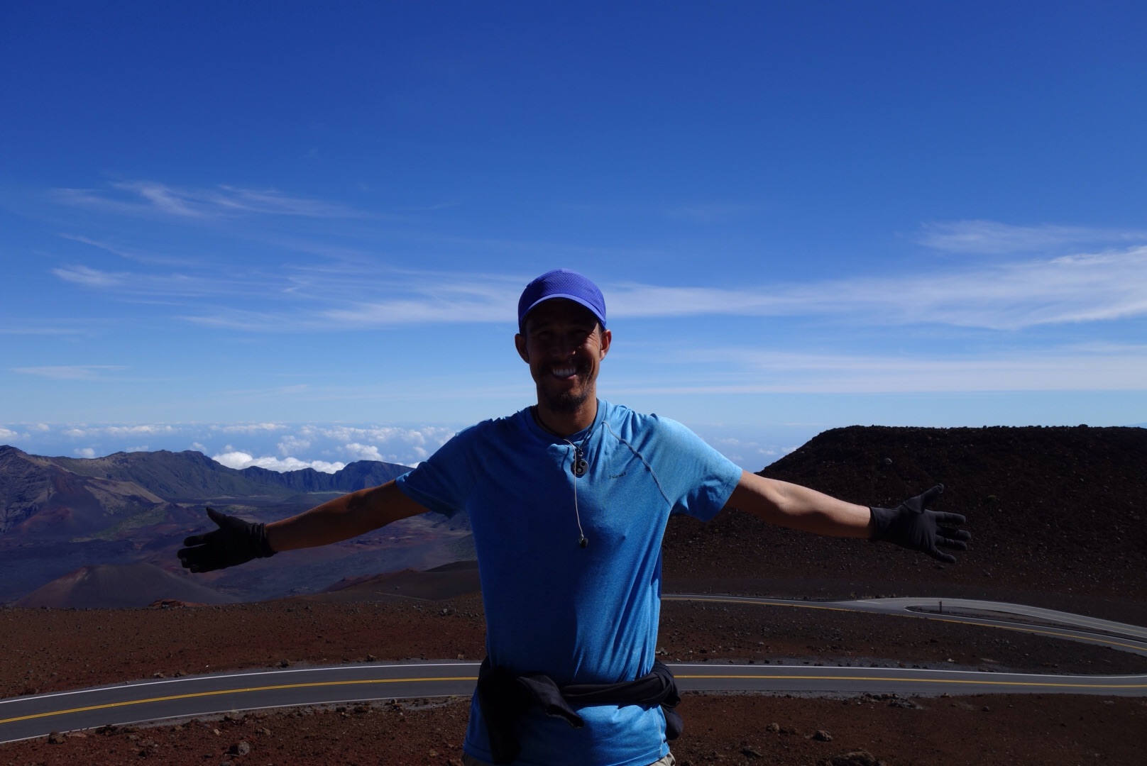
On the summit of Haleakala at 10023ft.
Descending back into the crater from the summit road.
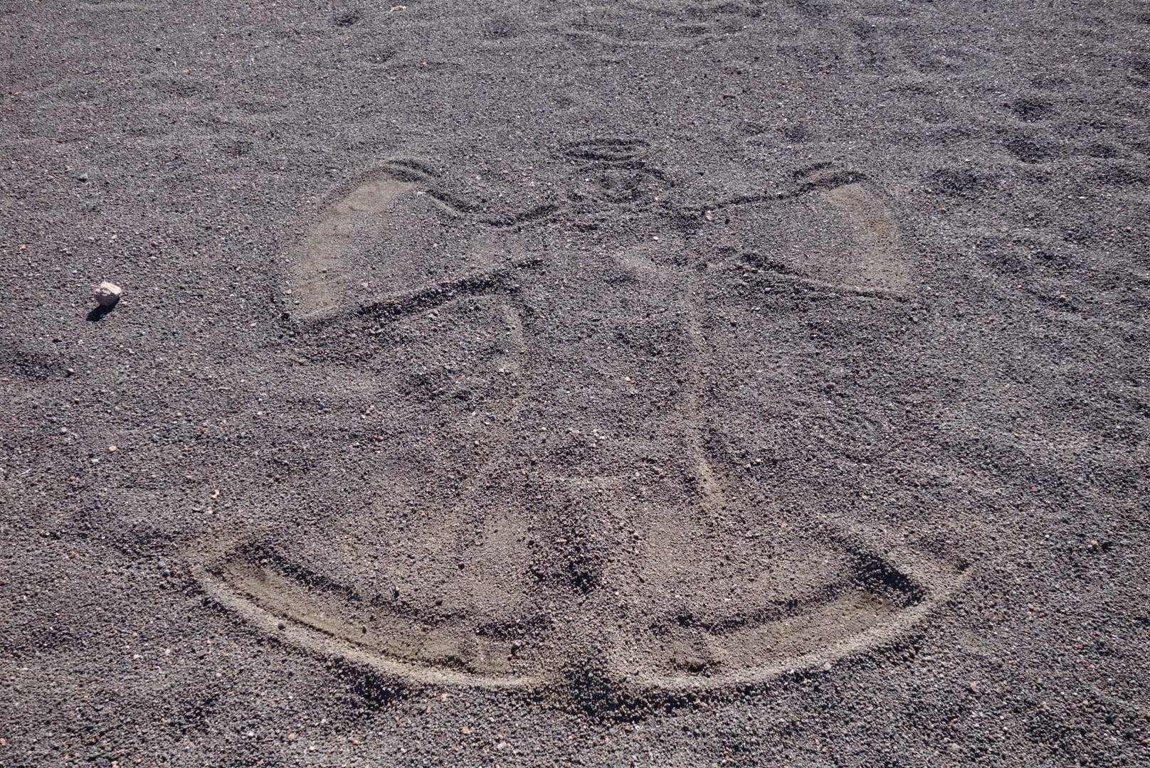
When there is no snow a volcanic sand angel is an acceptable alternative.
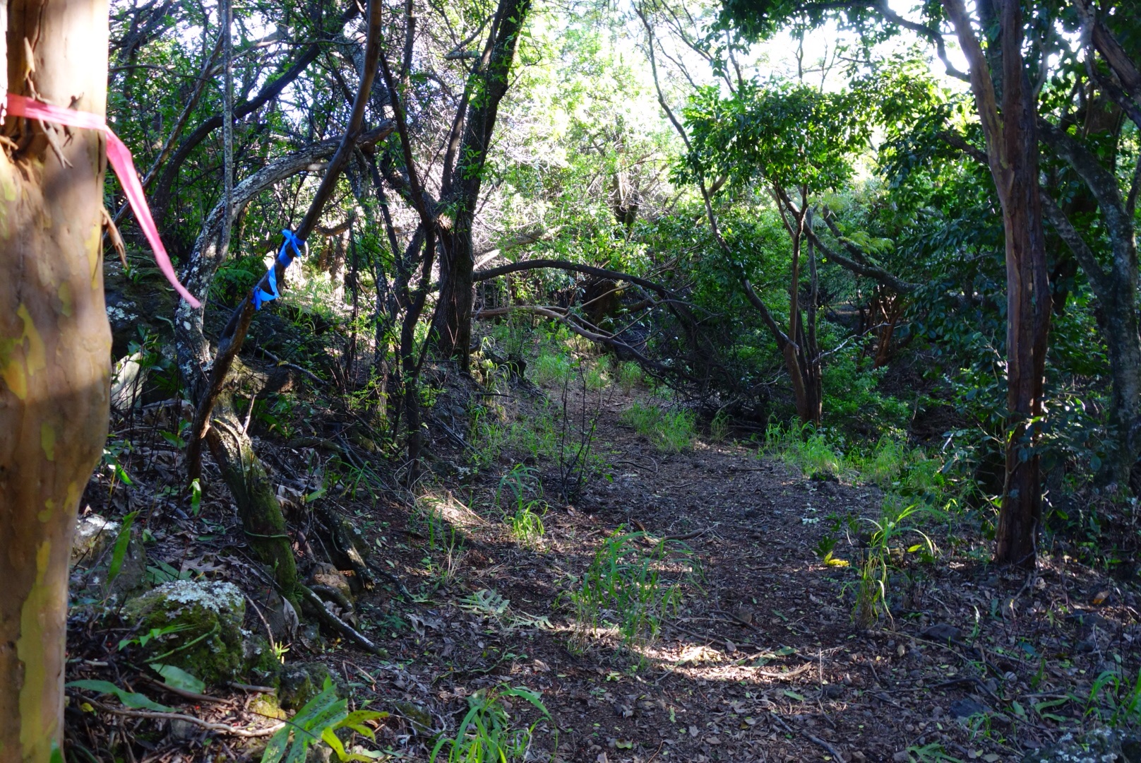
Found the ranch trail on the way down. Follow the blue flags for smooth sailing.
So went my fifth National Park ultra distance run. It was definitely the most trying to date, lots of bushwacking and route finding on unmaintained trails/roads. But it offered a unique glimpse into the variety of ecosystems 10,000ft of pacific island volcano creates. From dense forest to waist deep grasslands, rocky lava beds to weathered gravel and cinder of all different colors. This is definitely not a route for those looking for smooth trail (though the upper crater loop is beautifully runnable), but better suited for those looking for a unique adventure in a one of a kind environment. For the extra ambitious you can start from the road and run east and down to the beach before ascending a full 10,000ft to the summit.
As my National Parks project moves forward I am looking forward to more unique adventures in our amazingly diverse Park system. Coming soon to a blog near you a recount of my gnarly Volcano National Park run. Thanks to VFuel for powering my adventures and to all the hard working folks of our National Parks who make this project possible. To continued exploration into new and beautiful worlds.
Pingback: Ultramarathon Daily News, Mon, Jan 9 - UltrarunnerPodcast