My eyes darted left, then right, nervously responding to every sound I heard in the underbrush. I was only 2miles into my 50mile+ loop around Glacier but I’d been following a set of fresh bear prints for almost a mile through dense foliage. This is how my adventure started, thankfully Mr Bear decided to wander off elsewhere and the concerns were never realized.
When I first looked at the map of Glacier National Park I had trouble conceiving of a loop that showcased the central mountains and glaciers. I came up with several point to points (Highline Logan Pass to Canada, East to West to East) but couldn’t figure out a logical loop that really touched on most of what makes Glacier so amazing. One day while thumbing through backpacking trip reports I happened across a report talking about the often traveled ‘Floral Park traverse’, ah ha! This 9.5mile off-trail route connected Hidden Lake with Comeau Pass providing the missing link I’d been looking for, now all I needed was the time and energy to run 50miles in the mountains.
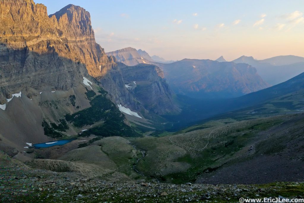
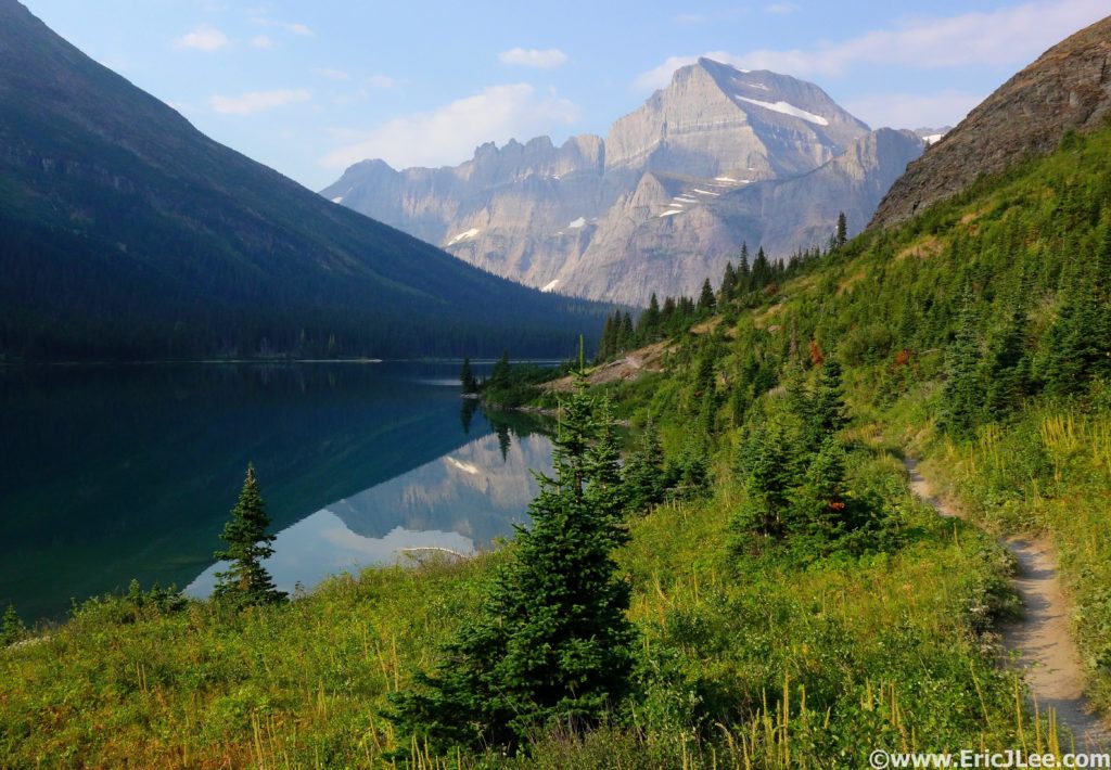
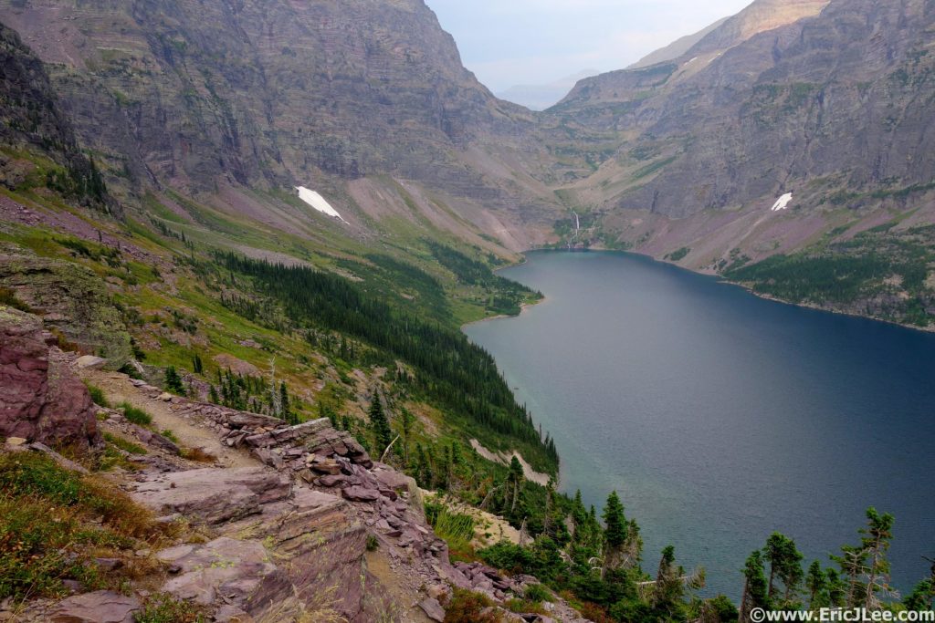
I awoke at 330am on Monday August 8th, immediately hopped in the car and began the 1.5h drive to the Jackson Overlook along Going-to-the-Sun Road. I left the road at 5:40am thrashing my way through the brush toward Piegan Pass. After unnervingly following some fresh grizzly prints for a little over a mile, the terrain finally opened up and I settled in to simply enjoying the beauty. The smokey rays of sunrise glowed orange on the surrounding mountains and a gentle breeze blew over the pass. As I crested Piegan Pass I was stopped dead in my tracks, a sheer 1000ft wall guarded the left side of the valley, green flower filled meadows (and the trail) arced down the right side, while turquoise lakes dotted the valley floor as waterfalls tumbled off cliffs in between, it was gonna be a good day. The trail down the North side of Piegan Pass can only be described as euphoric, beautifully swooping switchbacks through some of the most stunning scenery I’ve had a chance to lay eyes on. I cruised on past Grinnell Lake, around the West shore of Josephine Lake (following more bear tracks) and finally reached the Swiftcurrent Lake TH (13mi, 3:15), refilled my water and jogged on down the road to the Swiftcurrent Pass trail.
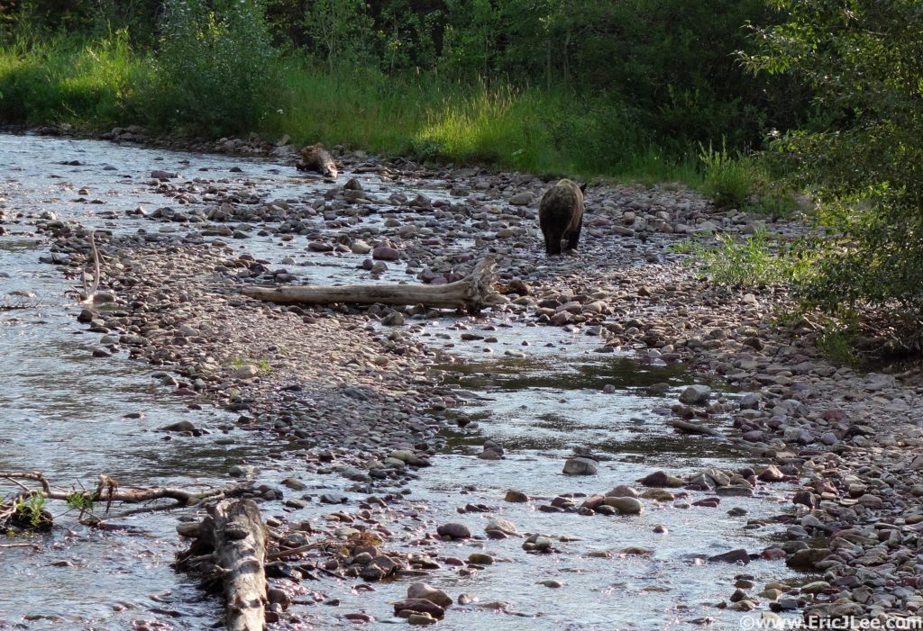
Half a mile down the trail I came across a large group of people standing on the bridge across Wilbur Creek, and was a bit surprised to see them all gawking at a grizzly bear lumbering on up the river. One guy even had a camera in one hand and his uncapped bear spray canister in the other….really people? I left them behind and jogged along the rolling trail up Swiftcurrent creek, past numerous glacial lakes, until I finally reached the end of the valley and looked straight up 2300ft of switchbacks to Swiftcurrent Pass somewhere high above. I zig zagged my way up to the pass (stream about ½ way up) and was greeted by Heaven’s Peak front and center (20.5miles, 5:20). After a brief stop in at the Glacier Chalet it was off on the Highline trail toward Logan Pass. This was the first truly busy section of trail I hit, with constant traffic both directions, but everyone was friendly and most let me jog on past. This undulating section of trail hugs a high traverse along the Garden Wall and is beautifully runnable with fantastic views, deserving of its popularity.
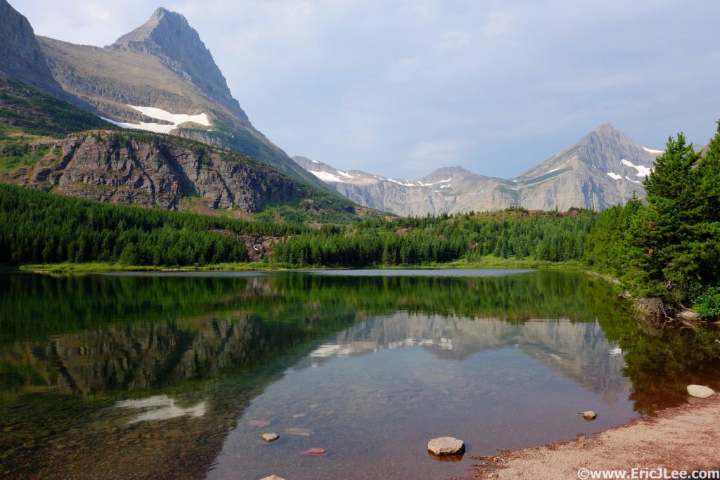
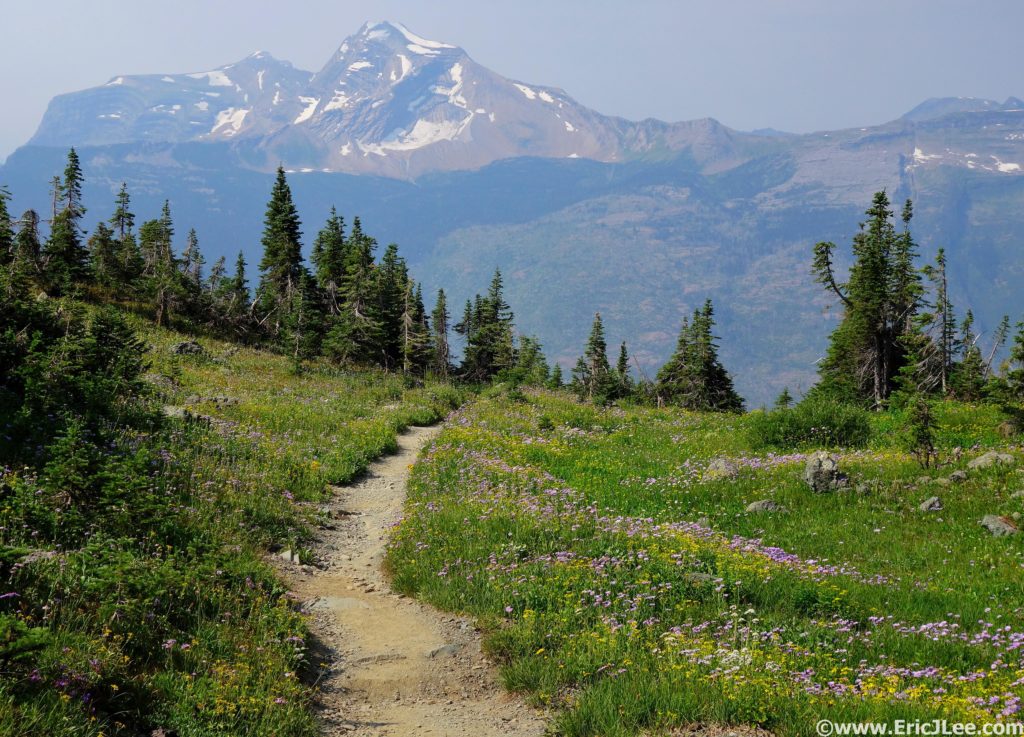
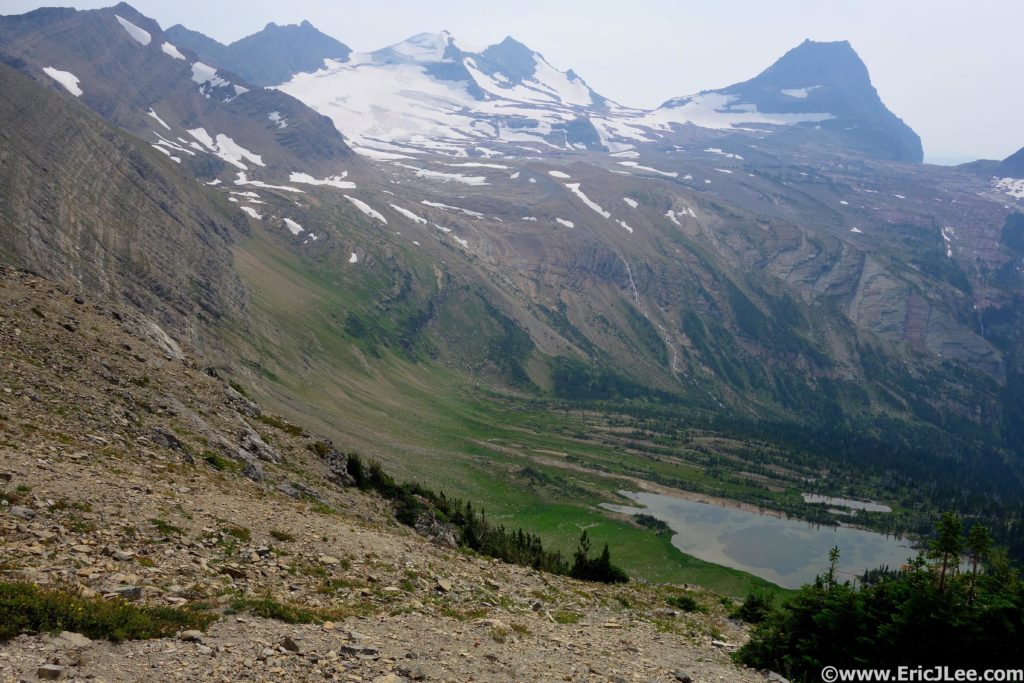
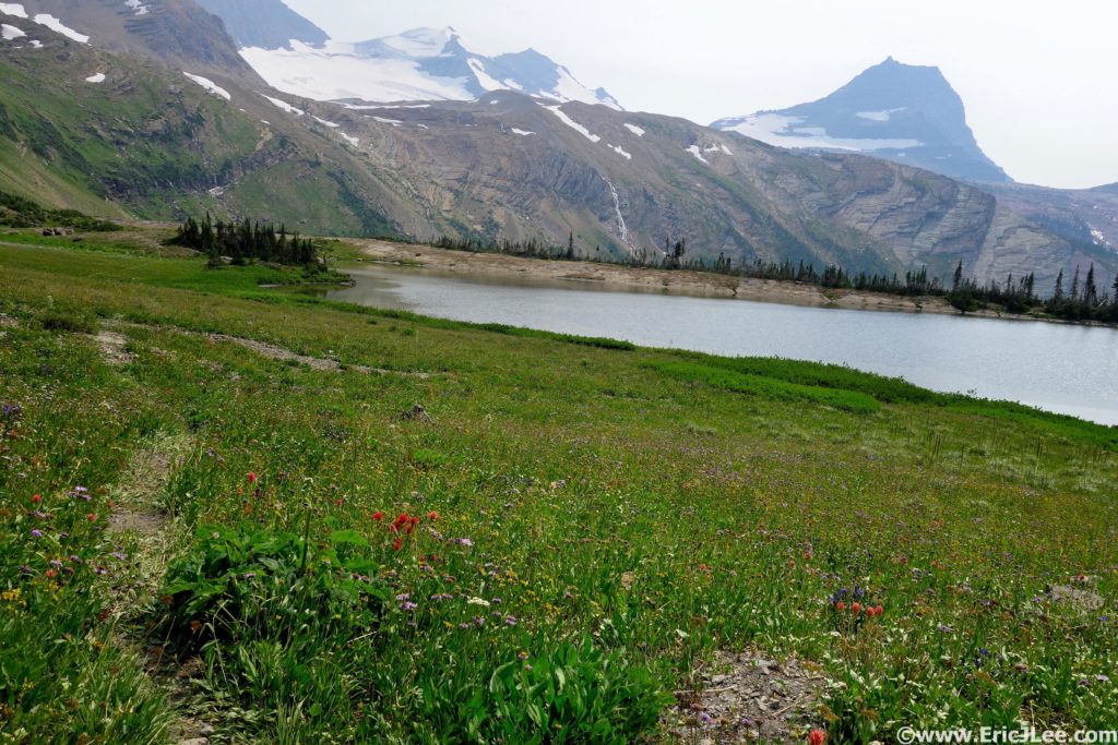
At last I popped out on the Going-to-the-Sun road at Logan Pass (30mi, 7:15), shnikies! I was back in the throngs, hundreds of people milling about, road jammed with cars, shuttles running up and down both sides of the pass, eek. I quickly filled my water and slowly staggered my way up the hill toward Hidden Lake. The miles were starting to wear on me and it was warm enough to slow my pace. I cruised back down to Hidden Lake, forded the outlet stream, and began the off-trail adventure of connecting Hidden Lake and Comeau Pass. The initial section around the lake is on a lovely use trail, then from the peninsula in the middle of the lake I struck up the hill on a diagonal traverse around Bearhat Mt. Start by going up a small talus field, then onto upward trending grassy benches to around 7000ft, which pops you out in the basin SE of Bearhat Mountain. For more specifics on the traverse, see this link. The climb up and over the saddle to Floral Park was steep energy sucking grass on the ascent and rubbly gravel and scree on the descent, yuck.
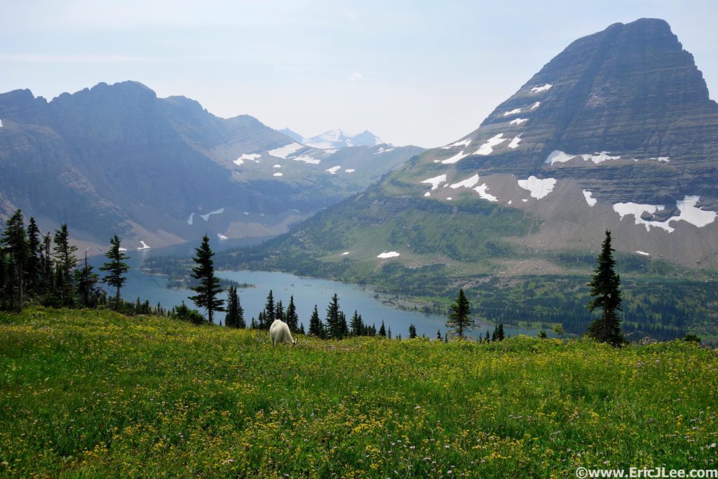
Hidden Lake, the far ridge drops into Floral Park, the peak in the far far distance is the Sperry Glacier.
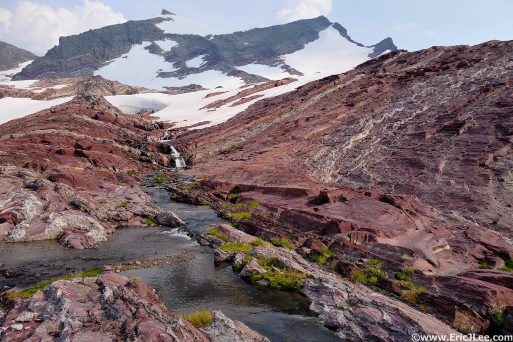
Soon I found myself in Floral Park skirting the flower lined shores of Mary Baker Lake (36mi, 10:00) and traversing the steep grass upwards into the Sperry Glacier basin. As I crested the moraine into Sperry basin a mine field of snow, glacial lakes and rock ribs introduced itself to me. I took a high line, picking my way over rocky ridges, hopping glacial melt streams, traversing around turquoise blue lakes and kicking steps up the occasional snow field, finally reaching the ‘red wall of doom’, a nice moderate slab of reddish rock on the far South side of Sperry basin that climbed up to Comeau Pass. I kicked the final snowy steps up to Comeau Pass (39.5mi, 11:45) and was greeted by a pair of goats and the steep valley dropping down Sprague Creek.
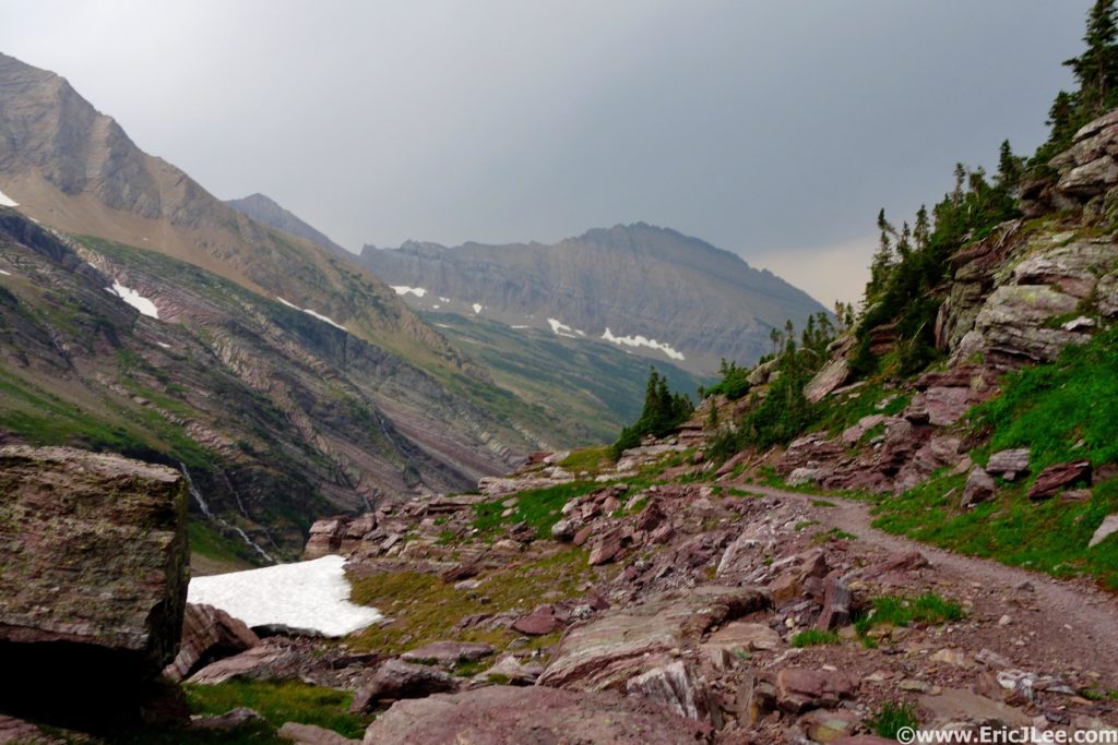
In my tired delirium I thought the uphill was over for the day until a quick glance at the map showed two 1000ft climbs over Lincoln Peak then Gunsight Pass…argh. So I hammered down to the Sperry Chalet, past Akaiyan Falls to the junction with the Gunsight trail….12.5miles to go!!! Son of a, not what I was expecting. Again, slightly demoralized I took a moment to readjusted my head space and hammer through the first climb to Lincoln Peak, jogged my way around the beautiful Lake Ellen Wilson and up into the thunderstorm brewing on Gunsight Pass (46.5mi, 13:50). I topped out on the final final climb of the day to what I thought was distant thunder, only to see that a dark mass of heavy rain and electrical activity was dropping into the valley right in front of me, well shit. I started running, then realized the trail wasn’t descending! I traverse a high line for about a half a mile as the rain began to fall and lightning lit up the far side of the valley. At last the trail began to descend, and I pushed downward, thankfully while the thunderstorm tracked down valley at a faster rate than I. Finally I arrived at Gunsight Lake, just a little damp, but no worse for the wear (49mi, 14:20). The final 6miles seemed to drag on forever, as the trail rolled up and down through dense underbrush. As the evening light faded away, I startled a large animal (not sure what) that went crashing off through the brush. I spent the final 45min of the day talking to myself, narrating my every action, in order to comfort myself into thinking I wouldn’t get eaten by a grizzly. At last I climbed the last few feet back to the Going-to-the-Sun road sat down on the rock behind my car and breathed a sigh of relief.
I had finished the Grand Glacier Loop in 15:50, after 55miles and 13400ft of vertical gain. It had been far from easy, but I felt immensely satisfied that I’d not been eaten by a grizzly and had seen/experienced/run through some of the most beautiful terrain our country has to offer. As I changed clothes and packed my stuff into the car, a light rain began to fall. During the drive back to my friend’s place over Logan Pass the light rain turned into a downpour and lightning flashed all around, I’d dodged a bullet for sure. For those interested in taking a crack at this massive loop, I’d say make sure you’re truly fit with lots of backcountry experience. It’s got diverse landscapes like the Zion Traverse, waterfalls second only to Yosemite, the sense of smallness offered up by the Grand Canyon R2R2R, but with a tough off-trail section thrown in for good measure. If you don’t feel up for the whole shebang in one go, not to fear, the park offers free shuttles that help you break it into three more manageable pieces; Jackson Overlook to Swiftcurrent (13mi), Swiftcurrent to Logan Pass (17mi), and Logan Pass to Jackson Overlook (25mi). Each segment offers up a beautiful view into what makes Glacier National Park so special, though obviously there is infinitely more out there waiting to be explored. Special thanks to the NPS for maintaining such an amazing place, and keeping up the trails, most of which were in phenomenal shape, to Vfuel for powering me through such long unsupported idiotic endeavors and to the PLT for giving me a full year off 😉
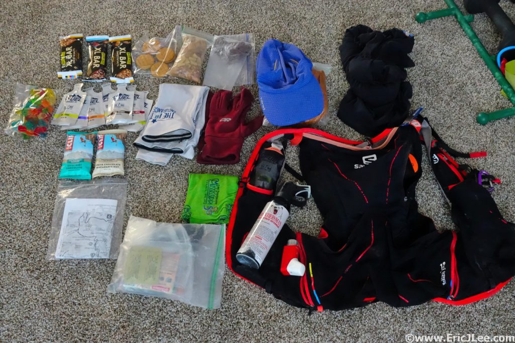
Gear List
Salomon S-Lab 12, OR Helium II jacket, Patagonia Strider shorts, tech T, arm warmers, long sleeve shirt, running hat, buff, fleece gloves, sun glasses, bear spray, inhaler, 1st aid, hand warmers, 6 chlorine tablets, space blanket, trail map, SPOT locator, Fenix E11, Black Diamond Iota headlamp, 3400calories, 1.5L of water capacity (usually only carried 1/2L). Note that you may need more or less than me, but this is the list of items I’ve worked out that I need/want to sustain myself for unsupported adventures of this length.


Great report on your Grand Glacier NP Loop. We have to take our adventures when and where we can, and you did this with gusto! Until I can get out there, I’ll happily live vicariously through you and this report. Much thanks!
Pingback: Ultramarathon Daily News | Friday, Aug 11 | Ultrarunnerpodcast