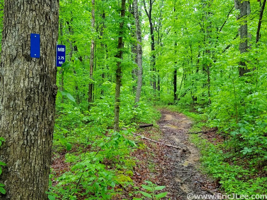
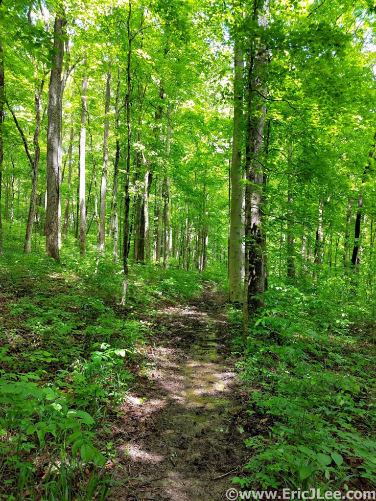
Squish, splash, splosh….what had started out as such a beautifully promising trail had quickly descended into a horse trodden mud bog….would the whole run be this way? The Maple Springs Trail had started out as beautifully cruiser crushed gravel meandering through the lush green forest, but as soon as I turned onto the Mill Branch Trail I found out what the ranger had warned me about, the horse trails were muddy….
Mammoth Cave National Park is best known because its currently (May 2019) the world’s longest cave system at over 406miles of passageway with more still being discovered. The cave system has a long history of human exploration and exploitation along with a hugely diverse ecosystem inside and out. While the cave itself may be the best known feature of the park, the park also has a beautiful trail system, covering over 70miles, exposing one to the surface geology and weather that makes the formation of the cave possible (more on the caves at the end).
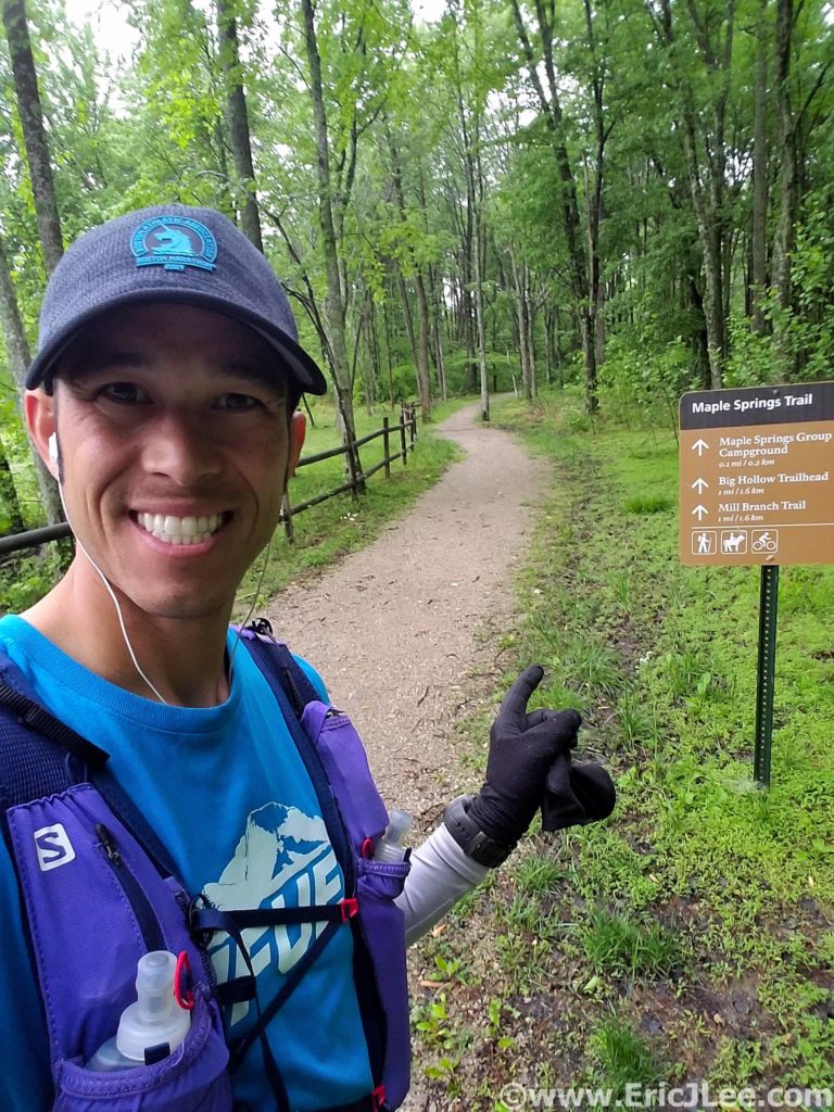
My run set off from the Maple Springs Trailhead cruising the beautiful crushed gravel paths through some of the greenest forest I’ve ever run through. Several days of rain had really brought everything to life…. including the mud. As I transitioned onto the duel use horse trails, the smooth path turned into a chopped up muddy mess. I sloshed my way around the North edge of the park on the Mill Branch and Blair Springs trails, both of which consisted largely of ankle deep mud…bleh. I got a short reprieve as I passed the First Creek TH (7.6mi, 1:30) and climbed the ridgeline high above Second Creek. The foliage briefly transitioned to pines and hemlock, before returning back to the dense hardwood forest.
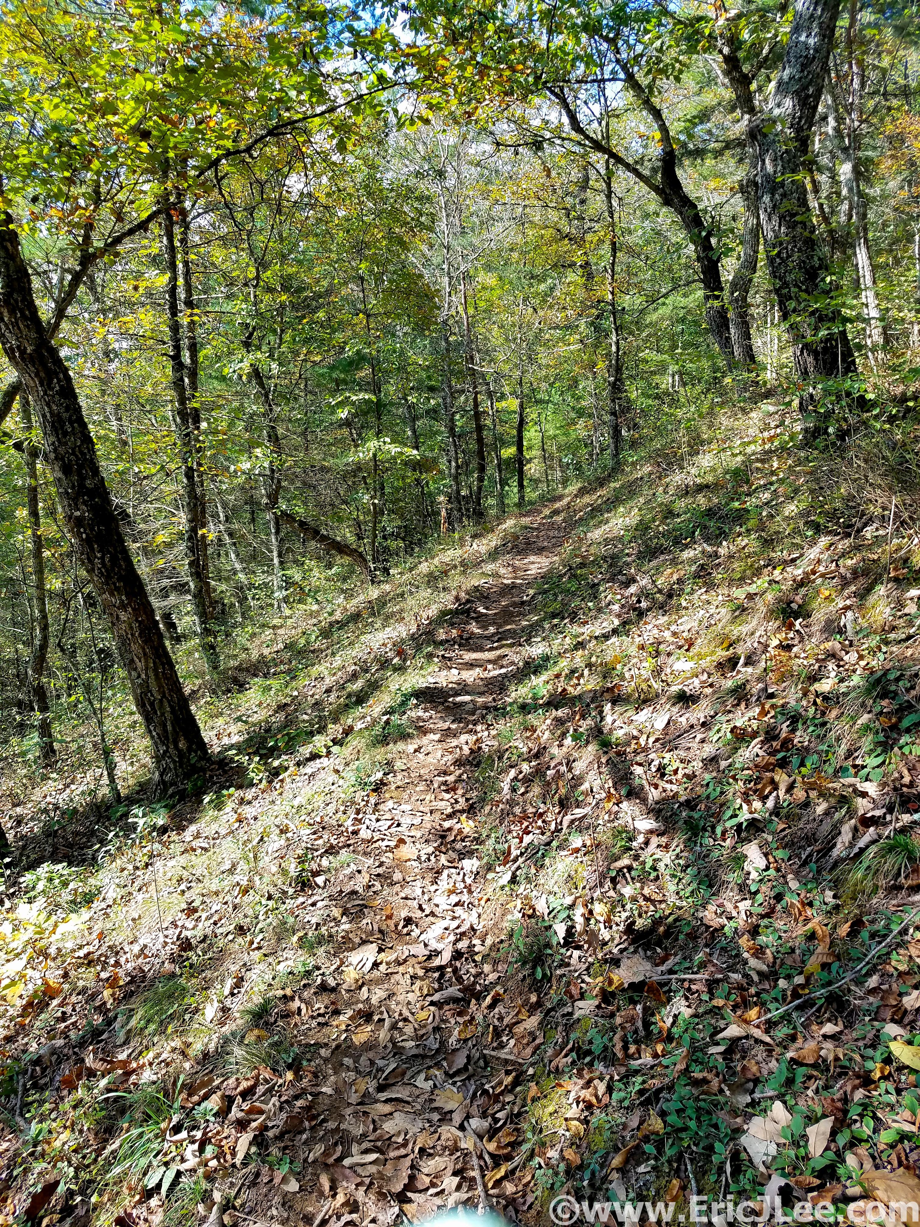
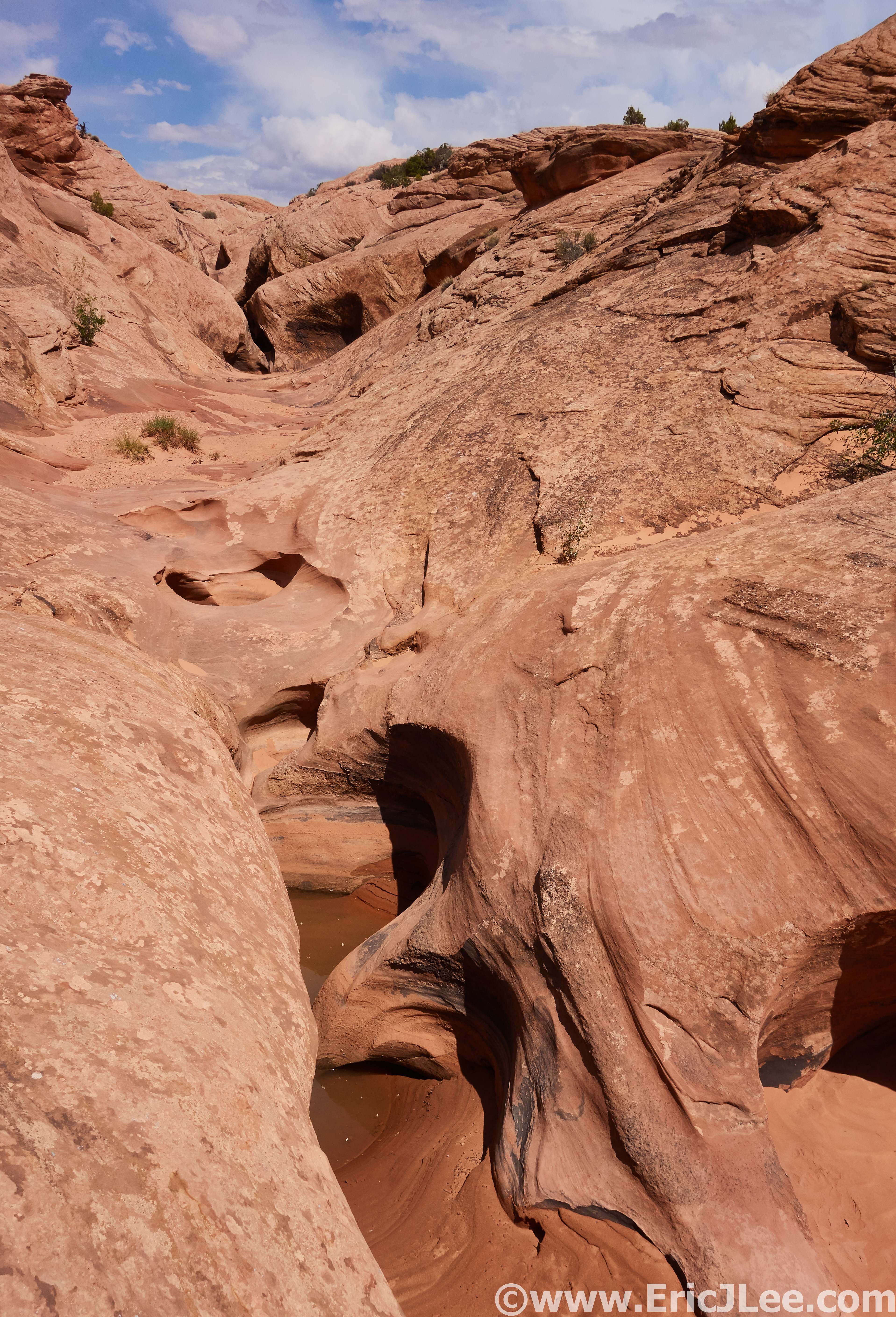
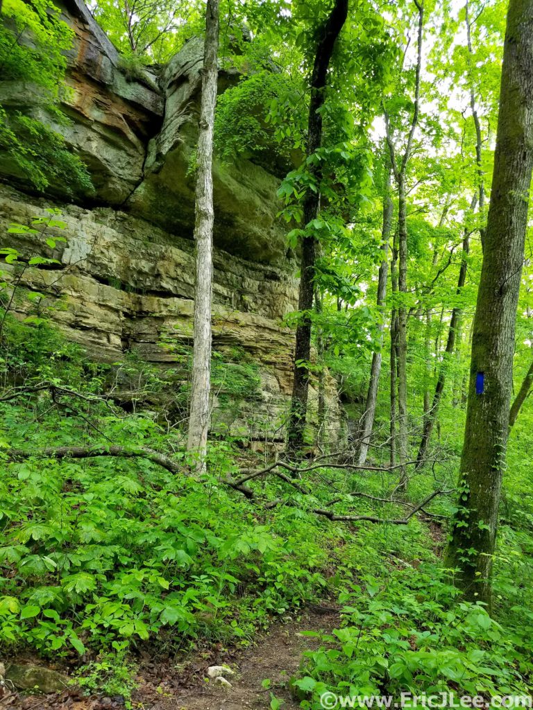
When the trails weren’t a mud bog they really were beautiful…rolling single track, swooping through the neon green forest and limestone rock formations randomly jutting out of the hillside. As I made a turn to parallel the Nolin River the trail transitioned back to the horrid mud bog, and I splashed my way passed First Creek Lake (nice campsites) and then up the steep hill to Temple Hill (14.3mi, 3:00).
Most of the terrain had been incredibly runnable to this point, so it was nice to have some hiking grade to break up the pace. I passed a few hikers on this stretch, the first people I’d seen all day! After a short but abrupt descent down the McCoy Hollow trail, the grade mellowed and the trail weaved in and out of various river drainages before descending to the Wet Prong of Buffalo Creek (20.4mi, 4:20). Another short steep ascent up to Collie Ridge before the trail plummeted straight down to the Dry Prong of Buffalo Creek. When I finally turned onto the Sal Hollow Trail (24.4mi, 5:25, final trail of the day) I was pretty ecstatic to see find it was a non-horse trail, meaning it was the most beautiful section of trail I’d been on all day.
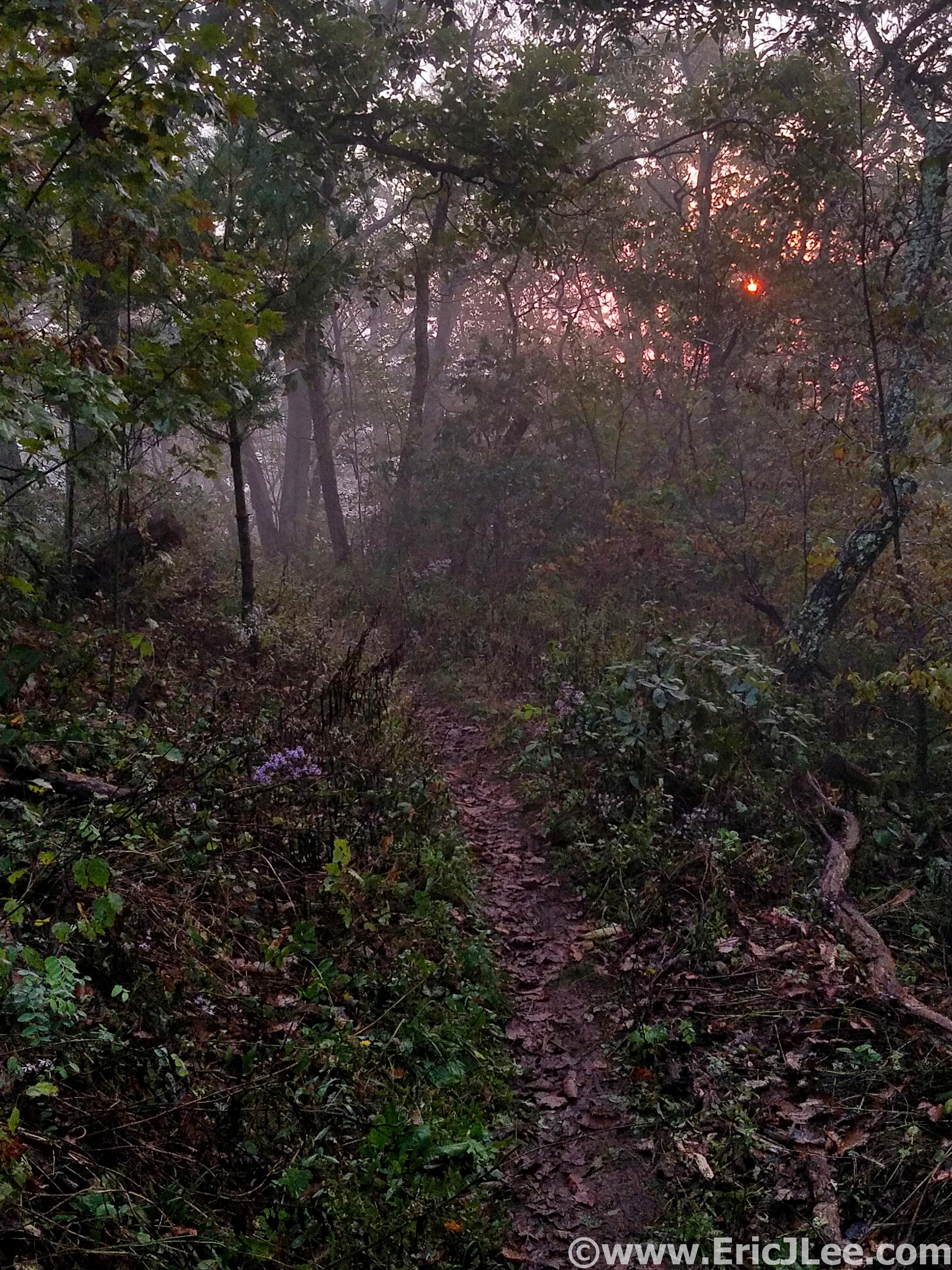
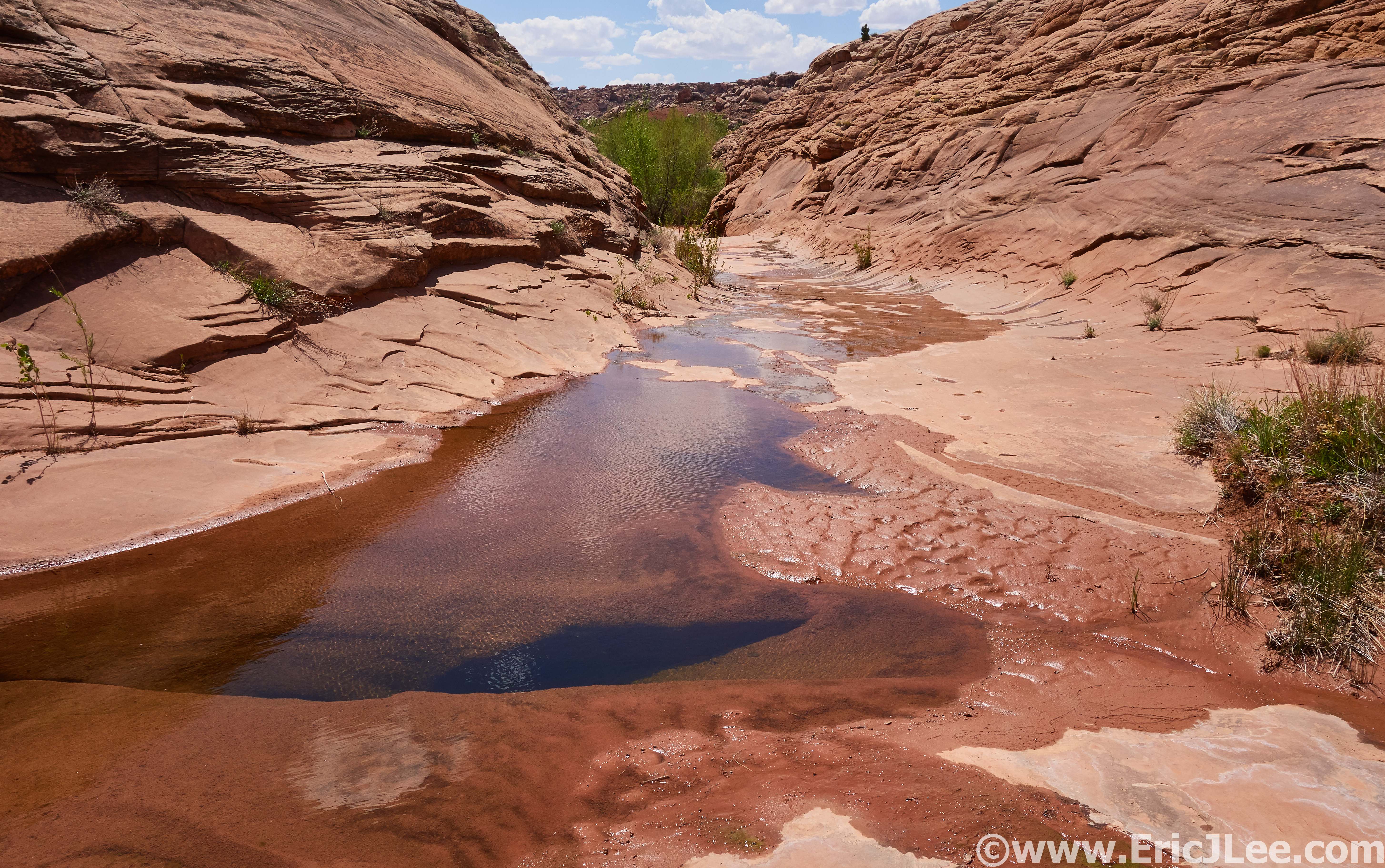
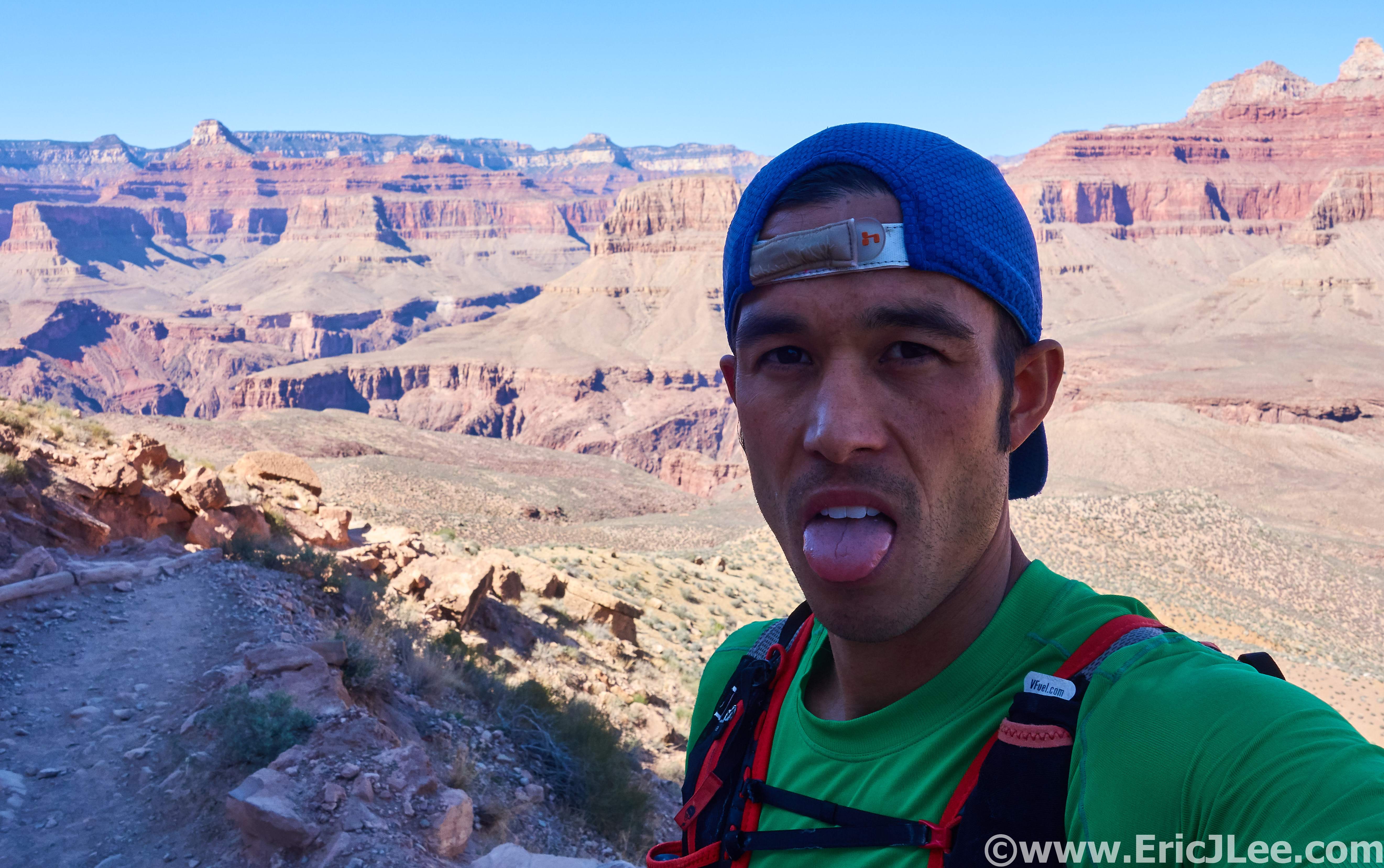
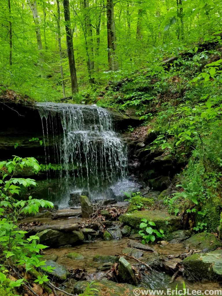
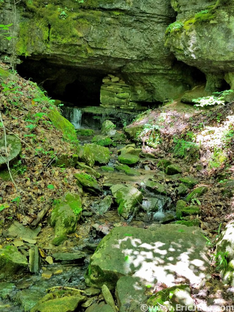
The damp single track weaved around trees and rocky limestone outcroppings, passing springs flowing out of caves and sink holes where the water was most likely draining into the cave system below. I even took a short break to crawl into one of the cave springs for 20-30ft, opting not to delve too deep on my own though. I splashed through a puddle now and again, but overall the footing was stellar, and my tired legs were glad for the reprieve from the mud bogs of earlier. This was the trail I’d been hoping to find all day, and despite being a tired and a little grumpy I was thoroughly enjoying the cruise through the forest, listen to the birds singing and the water cascading out of every hollow. It was on this stretch that the clouds finally broke and the first rays of sun shown through the foliage, dotting the green underbrush with its yellow glow. If only all of the trail system had been this lovely….After 33.1mi and 7:17 I popped out of the forest and back onto the Maple Springs Rd, what a day it had been. National Park Ultramarathon #15 complete.
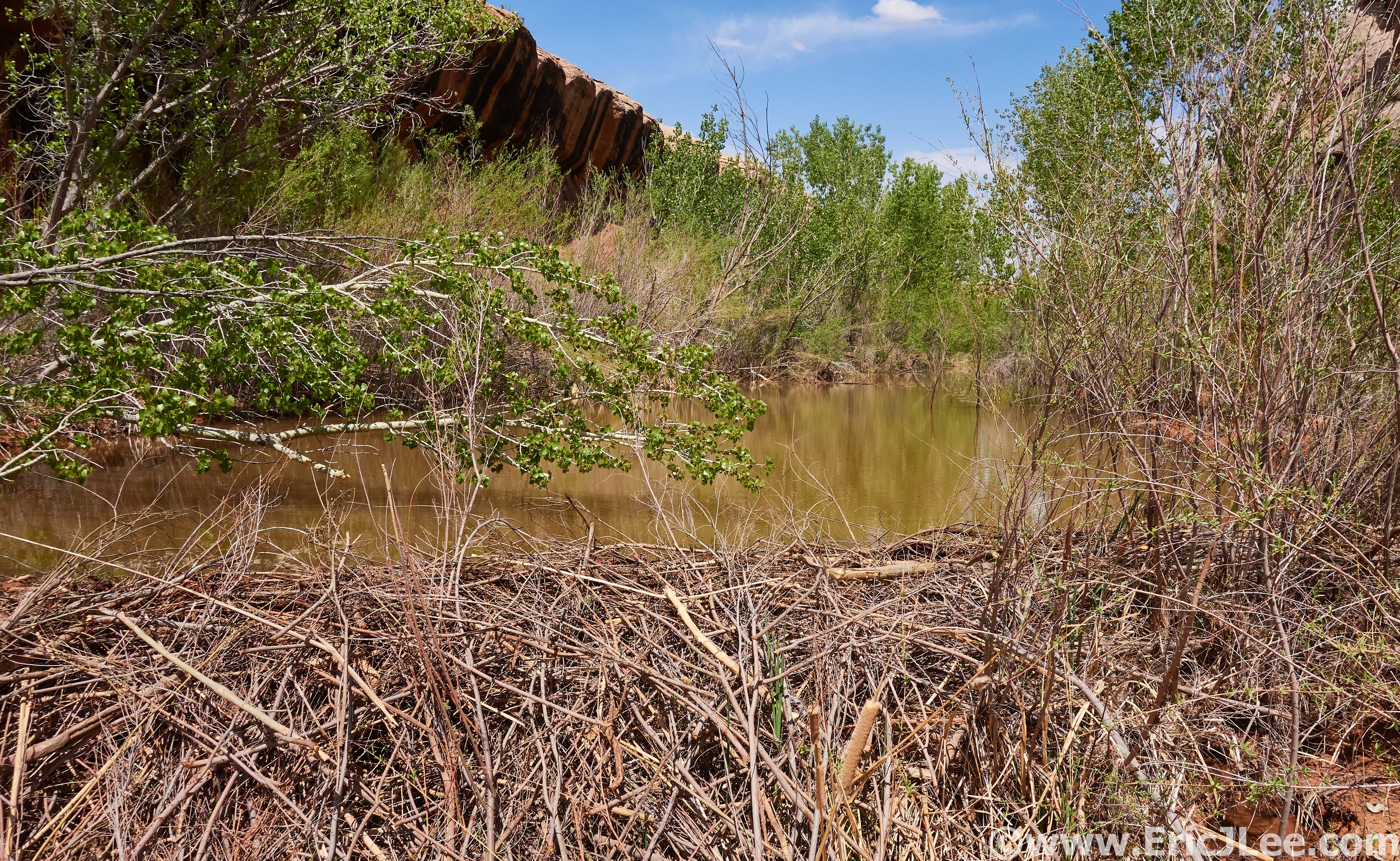
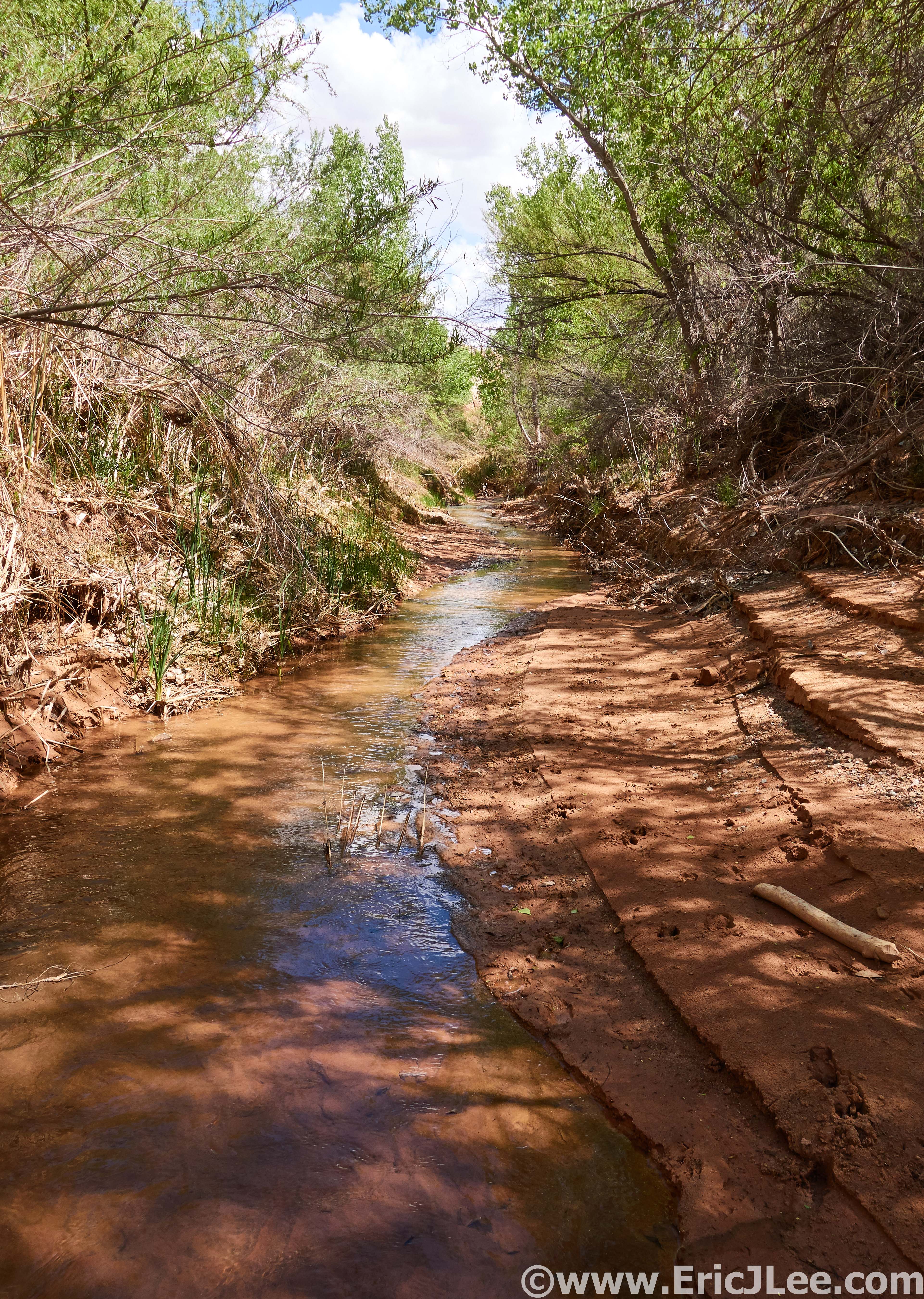
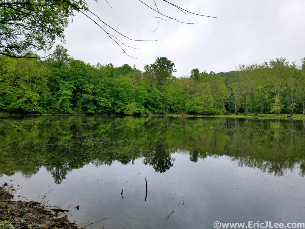
This trip had been my first real exploration of Kentucky, and it further confirmed my belief that every single state has something beautiful and unique to offer. The rolling green hardwood forests are so unlike anything we have in the West it was a nice change of pace. While I could have done with a little less mud, I’ve never minded getting a little dirty on the run, sometimes you don’t get the perfect conditions, but that doesn’t mean you can’t have an amazing experience. The forests of Kentucky may not have the altitude or expansive views of some of the Western parks, but the beauty lies in much more subtle things. The millipedes crossing the trail, a heron flying across First Lake, unexpected caves dotting the hillsides or simply the ability to get lost in the forest for hours and only see a handful of people.
Now on to what brings most people to central Kentucky, the underground labyrinth that is Mammoth Cave….and it sure is mammoth! With a history dating back 1000s of years (to early Native Americans), Mammoth Cave was a known entity long before the Europeans arrived to exploit it. It wasn’t until the mid 1800s that people really began to explore the cave (Stephen Bishop) and cave tourism began to form. Mammoth Cave became a National Park in 1941, and now to visit the caves most people must participate in one of many organized cave tours. While I was not fortunate enough to get on one of the ‘Wild Cave tours’ (reserve early!, includes crawling and scrambling) I did get onto three different tours into very different parts of the cave. In the following paragraph I’ll describe the three tours I took and what I liked/disliked about them. Cave tour reservations can be made here.
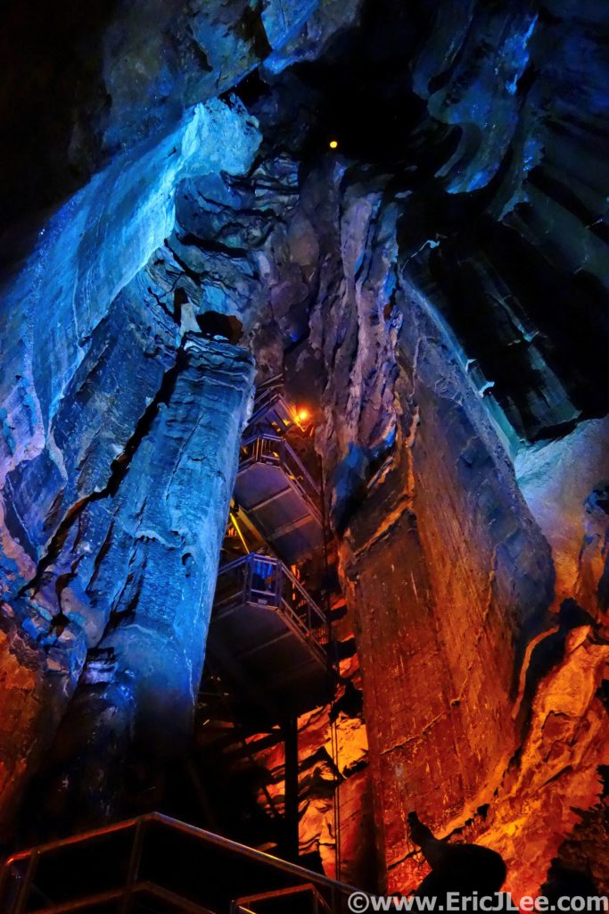
The first tour I got on was the ‘Domes and Dripstones tour’ that enters through the New Entrance, which is essentially a dynamite blasted hole into the cave. From this entrance one descends straight into the heart of the cave down a very steep narrow set of stairs. You get a sense of the size of the size of the massive domes where water seeps into the cave and underground rivers. The tour then winds through a variety of passages ending at the Frozen Niagara formation, one of the few formations in this section of the cave. While interesting and beautiful, it was my least favorite tour as it’s a very large group and moves pretty fast, giving one less time to enjoy sections of the cave.
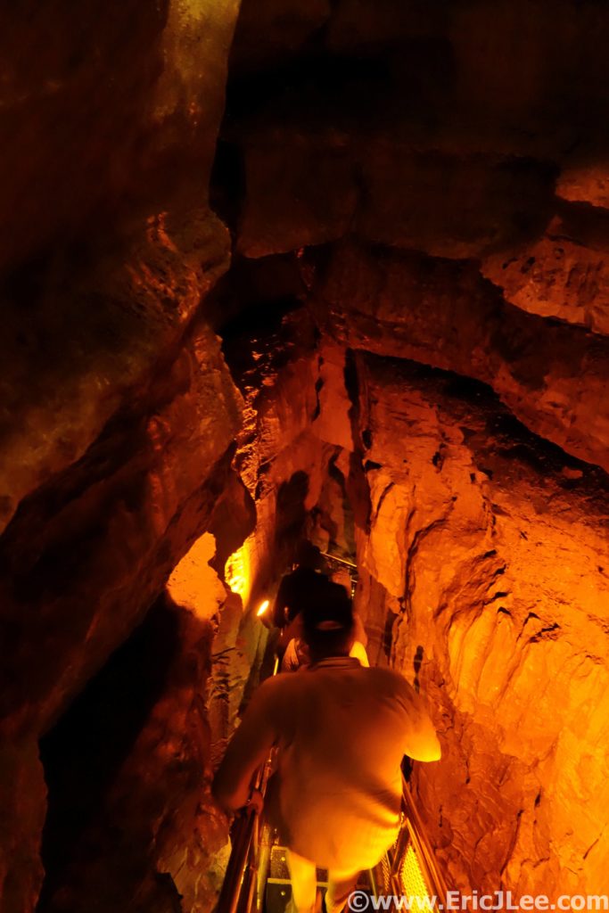
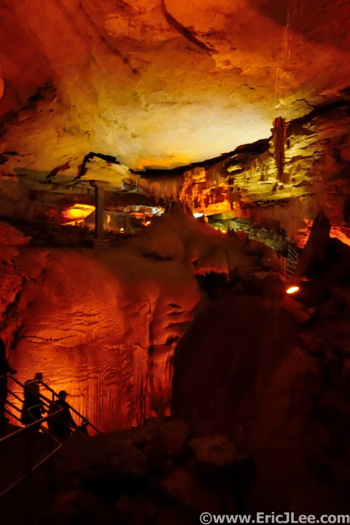
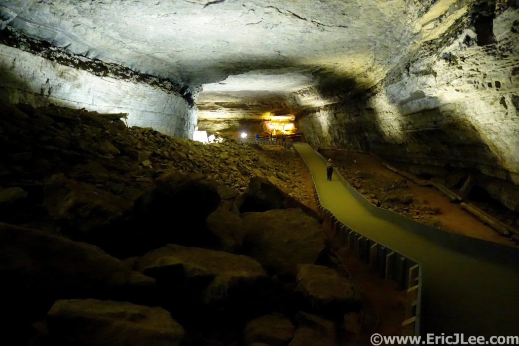
The second cave tour I took was the ‘Historic Tour’, this one enters through the original historic entrance in the center of the park. The initial passageways are massive, quickly letting one understand why people call it ‘Mammoth’. You then learn a good bit about the history of the cave, from early Native Americans to the salt peter mining and tourism of the 1800s. The walking tour then crosses the Bottomless Pit and into Fat Man’s Misery, a narrow section of passageway (all walkable, with a slight crouch). I found the Historic Tour more interesting than the Domes and Dripstones, partially because of the history, but also because you got a much better sense of the size and variety the cave offers.
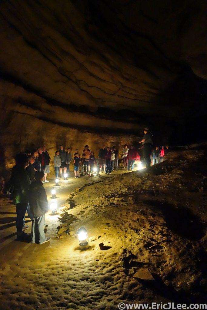
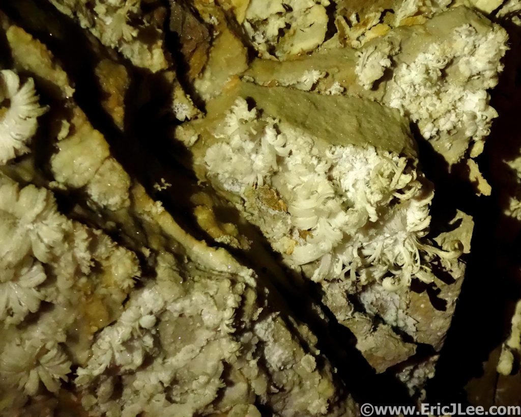
The last tour I took was the ‘Great Onyx Cave’ tour, part of the Flint Ridge cave system that as of this writing does not connect with the rest of Mammoth Cave (but is believed to). As we passed through the damp entrance, careful not to step on the cave salamanders (cool!) we quickly emerged into a room adorned with cave formations (drapes, columns, stalagmites/stalagtites, flow stone). As our small group of 20 slowly made our way deeper into the cave by lantern light the cave slowly dried out and the formation disappeared. Replacing the flow stone formations were delicate gypsum crystals, some of them assembled into the most beautiful gypsum flowers I’ve ever seen. While we didn’t cover as much cave passage on this tour I found that the time allotted allowed us to better appreciate the cave and the formations, as did the smaller group size. This was by far my favorite tour of the day.
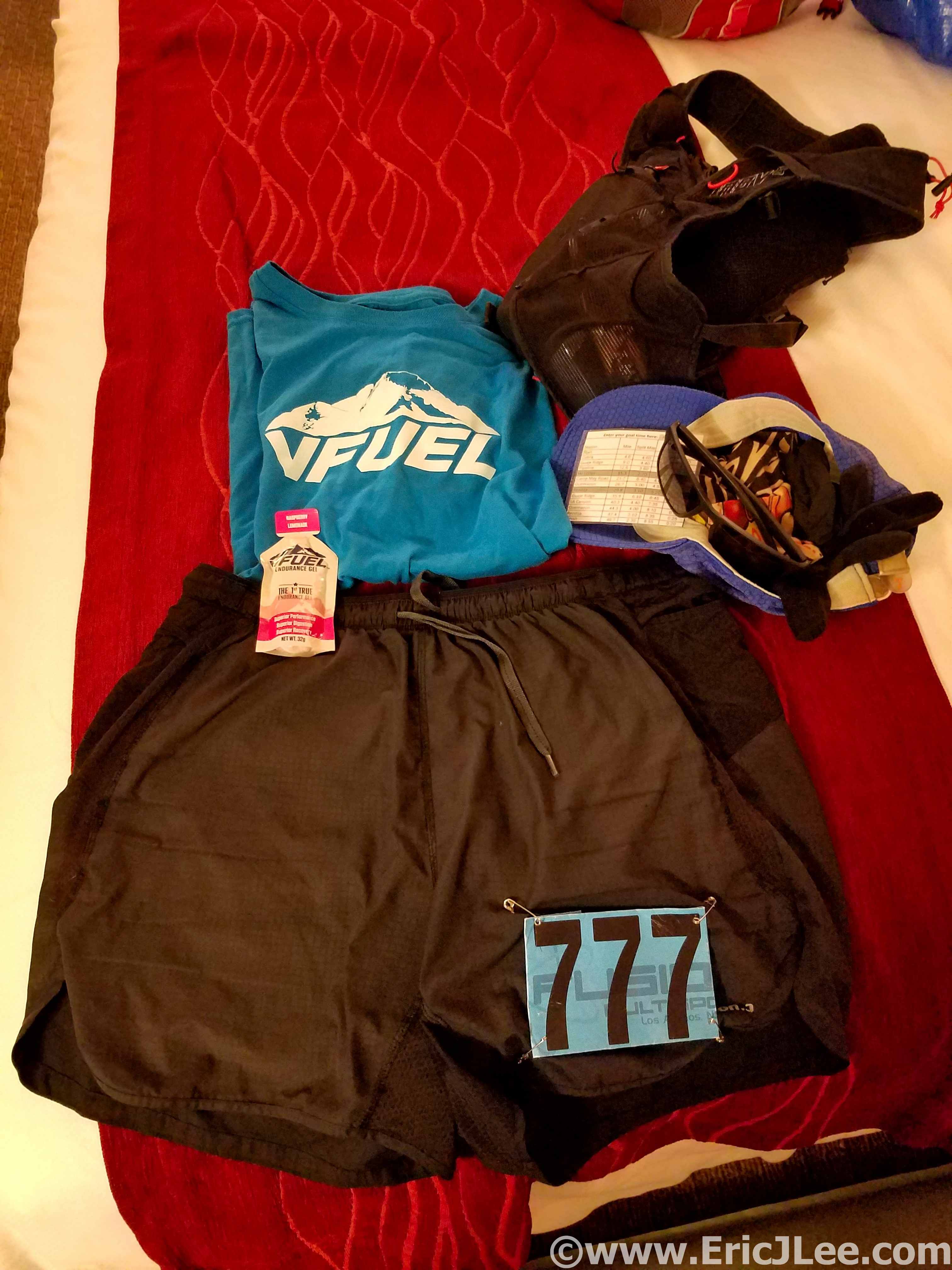
It may be becoming cliché, but my National Parks project is taking me to areas of the country I otherwise may have never visited and explored. The rolling green hills of Kentucky and the always fascinating underground world of the cave truly exceeded my expectations. The US National Park system is not just a collection of big mountain landscapes or desert canyons, though those get most of the attention. Mammoth Cave is definitely worth exploring, both above ground and below. Because it’s the world above (the rain, the rocks, the ecosystem) that make the caves what they are. As always, special thanks to Vfuel for powering all my crazy ideas and adventures and to our National Park System for preserving such amazing places for all to see and experience in a responsible manner. Next up….Badlands National Park and Wind Cave National Park!