Author Archives: Eric

About Eric

Immunologist and Infectious Diseases Research Scientist by day, ultra runner and mountain adventurer in my spare time. Blogging about whatever comes up in life.

Elks Traverse 14er Link-up

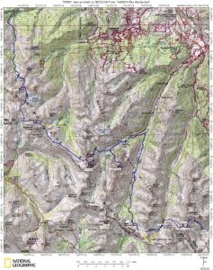
Map of my route through the Elks, with a few deviations.

“We do not conquer mountains, nor tame the elements. The true conquest lies in penetrating those barriers of self-imposed limitations within our minds.”  – Sharon Wood (1st North American woman to climb Everest)

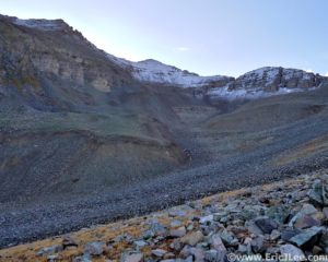
Oh great fresh snow on the scree, my favorite…as I stared up at the back side of Castle and Conundrum peak, rolling my eyes at the continued absurdity of the route commonly known as the Elks Traverse. I’d been awake and on my feet for almost 28hours at this time and what an adventure it had been… but let’s take it back a few years to where this stupidity all began.

I’ve always loved climbing mountains, gasping for breath in the thin crisp air, panoramic views, the technical challenges of route finding and scrambling. All of these things draw me to the mountains, but mostly it’s the adventure of delving into the unknown, into a landscape where you are the guest and not in charge, where you can go for hours without seeing another soul because no one else in their right mind would come this way. The mountains are a place I go to both escape and to find myself. The Elk Mountains near Aspen are no exception, a rugged group of crumbling peaks, containing seven of Colorado’s vaunted 14ers. The difficulties of these peaks is what initially drew me to them; from the Knife edge on Capitol to the ‘Deadly’ Bells traverse, and the crumbling ledges of Pyramid peak… the 14ers of the Elk Mountains are among the most difficult in the state.So naturally it wasn’t enough to just climb them, but could I link them all together in a single push?

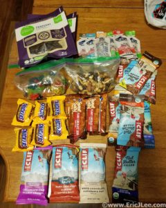
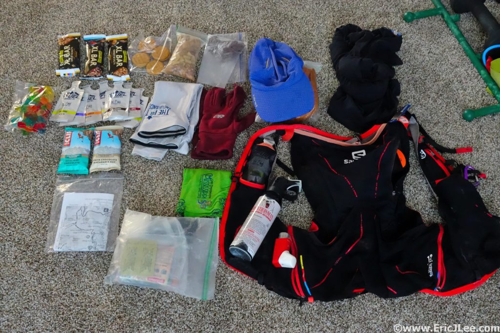
This is what 7000calories looks like.

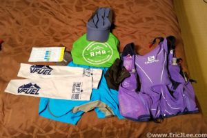
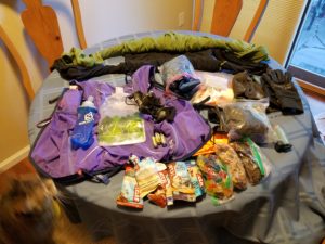
All my gear for the Elks traverse.

Over the past several years I’ve scouted various connections; running the sections, wandering through some scary and sketchy no-go routes, but eventually finding reasonably passable lines between all the peaks.In 2015 I made a horribly misguided attempt to link Pyramid to Capitol (it snowed and rained all day so I bailed), then in 2016 I linked Capitol through the Bells in a solid 15hour push, so linking them all together started to seem feasible. Fast forward to 2018, with no distinct summer plans other than to play in the mountains I was keeping a keen eye on weekend weather windows in hopes of finding a time to make an attempt at the linkup. Finally on the weekend of Sept 8th-9th the weather looked good enough, so I called up a friend Jeason to join for the first section and help with the car shuttle and we were set to start at 4am on Saturday…oh boy, here goes nothing.

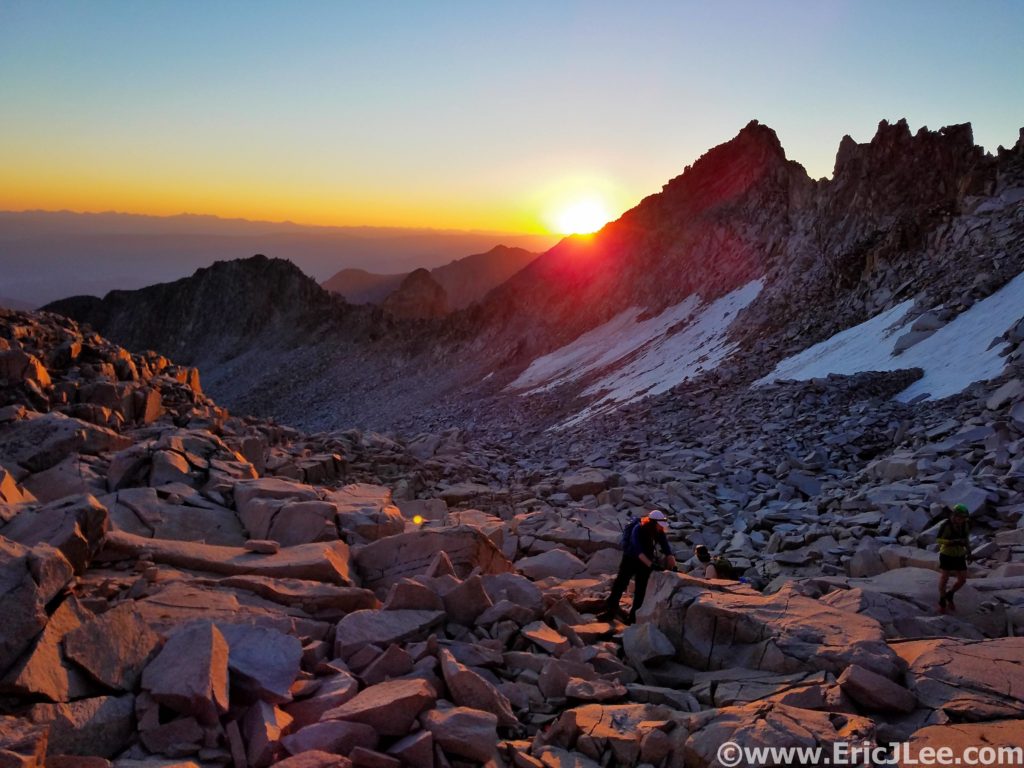
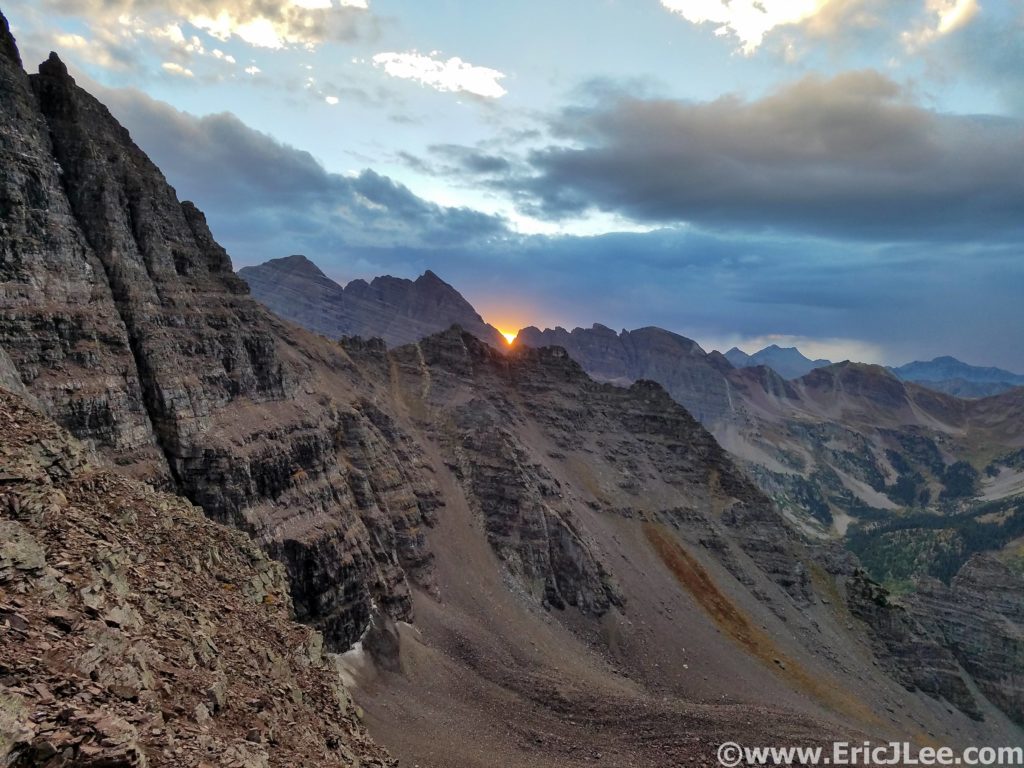
Sunrise on our way up Capitol Peak.

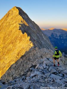
Capitol Peaks knife edge and final ridge straight ahead.

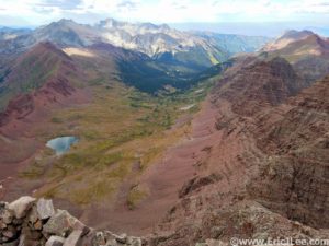
We set off in the chilly morning air (410a) from the Capitol Creek TH just rolling along, jogging and chatting as we moved through the dark. As we ascended the switchbacks above Capitol Lake, the first hint of morning cast dark shadows across the tundra, and the horizon began to glow orange. The sky was completely clear and as we made our way up toward K2 the talus was finally bathed in warm sunlight, perfect. We scampered past a few groups, across the Knife edge, and up the direct ridgeline to Capitol’s summit (my preferred route, #1, 3:20). We had the top all to ourselves, and as I looked across the range it struck me that I could see all the peaks of the traverse…%#$ Castle was far away. Well, no time to waste, from here on out the route is mostly off trail until reaching Maroon Lake.

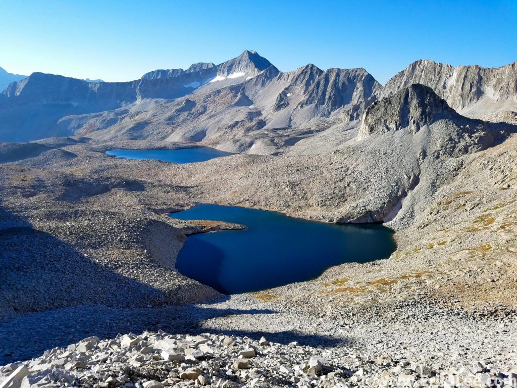
Looking down across Pierre Lakes basin, miles of talus.

Back across the Knife edge, down the scree, we banked a hard right dropping into the scree chute that is the Wandering Dutchman couloir. After slip sliding our way down the class 2-3 gulley we were faced with crossing Pierre Lakes basin, several miles of rarely traveled scree and talus that separates Snowmass from Capitol Peak, bounded by the heinous cliffs of the Snow-Cap Ridge. Thankfully I have the route across the basin pretty dialed so Jeason and I made quick work of it (filling our water along the way), soon arriving at the base of the most hideous part of the route. The class 3-4 shit slope that leads to the Snow-Cap saddle and allows passage to the West face of Snowmass, a necessary evil.

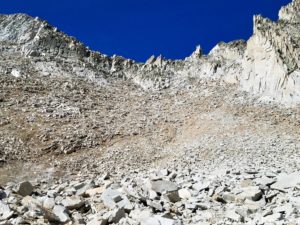
Looking up at the Snow-Cap saddle, all the choss.

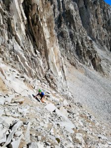
Crawling up to the Snow-Cap saddle, its that shitty.

We staggered ourselves and crawled (literally) our way up and over the saddle then rock hopped around to the West ridge of Snowmass Mountain. I felt like I was moving in slow motion up the ridge, but we hit the summit in 7:00 (#2), not bad considering the effort and terrain. The weather was still spectacular, so we quickly jogged off down the ridge, and descended the open scree and slab face formerly known as the ‘snowmass’. I made a last minute change that rather than take the high route over the subridge that I’d descend to Snowmass Lake, grab water then use the trail to traverse around to the back side of the Bells, approaching from below. This would allow for a water refill and also more oxygen, as I wasn’t feeling very strong above 12k.

The talus traverse around to the West Ridge of Snowmass.

View from Snowmass Lake back toward Snowmass.

The trail section over to the base of Buckskin felt really good, but before I knew it I was bushwacking my way up social trails towards the backside of the Maroon Bells. At first the travel was easy going on game trails (as I’d remembered), but soon I found myself traversing a bit too high above the valley and bushwacking through willows, ug. At last I arrived at the base of the Gunsight couloir and North Maroon, though with a slightly different plan this time. I took off at an ascending traverse around North Maroon, popping out right at the start of the Bells traverse, perfect! I’ve always enjoyed the traverse, as the climbing on the most technical sections is solid, but definitely in the low 5th class range. As I neared Maroon Peak I realized that the lingering snow was definitely going to be an issue, forcing me to tiptoe very carefully up the slick ledges to the summit (#3, 11:10).

Looking up the valley toward the backside of the Maroon Bells.

Looking up at the Gunsight (left) and North Maroon (middle).

Then, as per my plan, I set back out across the traverse again, this time getting to upclimb all the technical sections, making it back to the summit of North Maroon in just 46min (#4, 12:00). It was a quiet afternoon on the mountain as I began my descent of the standard route on North Maroon Peak, hopping around a few wet and snowy sections, losing the trail a few times but finally reaching the Buckskin Pass trail and the Crater lake junction. I’d be lying if I said that the ascent of Pyramid Peak didn’t scare me, but looking at my watch I knew I had about 2hours to get as much of the ascent done before things got dark…no time to waste.

View of South Maroon from the traverse, a little snowy.

Looking down the valley I climbed up to connect from Snowmass.

Making friends on the descent of North Maroon Peak.

I settled into a power hike up the very good climbers trail into Pyramid’s upper basin, feeling sluggish, but making good time. As I began to crawl my way up the dirty gravel slope to the saddle at 13000ft the evening light began to wane (15:20). I glanced up at the maze like upper slopes of Pyramid, well, here we go. As I began to scramble across the ledges the final light of the setting sun faded away and I was left with just my narrow headlamp beam, the occasional cairn and my memory of the route. To my surprise I soon found myself on the summit of Pyramid Peak (#5, 16:10). The descent went surprisingly well, and though the talus and scree was slow I made my way back down to the climbers trail without incident, very excited to be back on a trail again and able to jog a bit.

Sunset over the Bells from the shoulder of Pyramid Peak.

Last light as I climb my way up toward Pyramid Peak.

After a quick stop at the oh so quiet Maroon Lake TH to fill water and use the bathroom (19:00), I jogged off into the lonely darkness. I power hiked and yogged my way slowly up East Maroon creek, occasionally catching a few sprinkles, enjoying being able to move without too much thought to each foot step for the first time all day. As I ascended toward treeline a soft rain began to fall….then it picked up to a steady rain. I threw on my rain gear hoping for a passing storm, but no such luck this night. Above treeline the driving rain muted my headlamp and I lost the trail several times in alpine meadows, but I finally got myself up to Copper pass, as a cold sleet pelted my jacket, which was struggling (but thankfully succeeding) to keep me dry. As I traversed the ridge to Triangle Pass the rain finally began to let up and out of the darkness came a sign marking the top of the pass, a welcome sight (25:05).

Morning hot springs action at Conundrum hot springs. It was a long night.

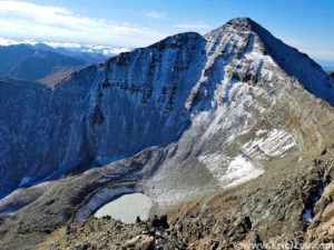
I jogged down the steep trail into the valley below, just as the first light of morning began to illuminate the horizon. I’d survived the night, it had been a slow and damp slog, but I was nearing the final two summits, I was actually going to finish this thing. My feet and legs were soaked from the night’s rain and all the willows, so I walked straight into Conundrum hot spring (shoes on) to warm up my feet (26:10), and damn did it feel good. As I ascended up the valley on the backside of Conundrum it became apparent that the adventure of the Elks Traverse wasn’t over just yet. The last 600ft of talus to the saddle was covered in a delightful glaze of fresh snow, YEAH, because miserable talus wasn’t enough fun, now there was a glaze of snow and ice on top.

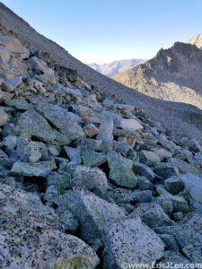
Climbing up more talus on the way to Castle and Conundrum, note the snowy talus ahead.

Staring at Castle Peak, my final summit, from the top of Conundrum.

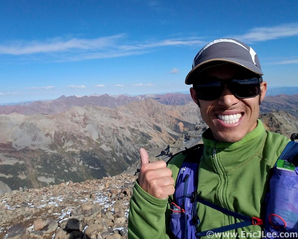
On the summit of Castle Peak, with the rest of the Elks over my shoulder, it was a long journey.

I slowly crawled my way up the final talus slope, one step up, slide 6” back down. When I finally reached the sunlight streaming through the saddle a wave of relief came over me, all the adversities were behind me, and all I had to do was follow the standard routes to Conundrum and Castle. I quickly tagged Conundrum (#6, 29:00) then cruised over to Castle Peak’s summit, topping out on the beautifully clear fall day, all by my lonesome on the summit. It was only fitting that after spending over 29hours in the mountains (mostly alone) that I’d have the final summit (#7, 29:30) all to myself. I hiked and jogged my way down the Castle Creek Rd and back to the 2wd trailhead, finishing my journey in 31:34:52, the second fastest time on the route and the fastest known unsupported time.

Quick stop along Castle Creek Rd to take in some fall colors.

Now over a week after finishing I’ve finally been able to absorb a little of what the journey meant. It was the culmination of many years of scouting and planning. A line that when done unsupported requires one’s full physical and mental attention to deal with the constant off trail navigation, endless miles of talus and scree, numerous class 4-5 climbing sections plus the rest of the adversity that comes with moving through the high mountains for 30hours+. The scenery had been stunning, I’d traveled through areas very few others have seen, experienced two sunrises and a sunset without sleeping, but most importantly I’d proven to myself that such a daunting line was not impossible (for me). While I have no desire to go back and attempt this line again any time soon, the experiences of the journey will forever be etched into my memory, an adventure I will not soon forget.

Special thanks to Jeason Murphy for keeping me company for the first two peaks and for helping with the logistics of the car shuttle. To Vfuel for keeping me powered through such crazy endeavours, Salomon for providing me with the perfect tools for adventure (Advanced Skin 12 pack), to Myriam Desrosiers and Ginna Ellis at Boulderacusport for making sure my legs are able to keep up with such madness, and all my friends and training partners for always challenging me to be stronger and faster. I’ve included a handful of photos with this report, but am also working on a little video slide show of the journey.

Gear List for Unsupported Elks FKT, 9/9/18

  • Salomon Advanced Skin 12 pack
  • Patagonia R.5 long sleeve
  • Hind Drylete long sleeve
  • Tech shirt
  • Patagonia strider shorts
  • Ski socks
  • OR Fleece gloves
  • Smartwool beanie
  • OR Swift cap
  • Adidas Terrex sunglasses
  • Ski socks
  • Inov8 X-talon 212
  • OR Helium II jacket
  • Luke’s Ultralite silnylon pants
  • SPOT locator
  • Garmin Spartan Ultra watch
  • Samsung Galaxy Phone (also camera)
  • Emergency Kit: space blanket, bandages, alcohol wipes, gauze, lighter, 1.5″ pocket knife, ibuprofen, chlorine dioxide tablets, garbage bag, three 1q ziplock bags, hand warmers, albuterol inhaler.
  • 1.5L of water capacity
  • Myo XP headlamp + extra 3 AAs
  • Fenix E12 flashlight + extra AA
  • 7000 calories of food (see photo)
  • 1:35000 paper TOPO maps for the whole route

Short video compilation of the journey.

Trans Arches National Park Ultra

There are a lot of arches in Arches National Park…duh! But there is so much more than is written on the tourist map or than one can see from the road. Over the years I’ve had a chance to explore some of the lesser traveled canyons, climb some of the rock formations and stumble upon hidden arches, making me realize that within the craggy desert landscape lies so much more. So when I set out to map a route across Arches National Park I knew it was going to be an adventurous one; full of sand, route finding and a good bit of unknown.

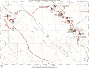
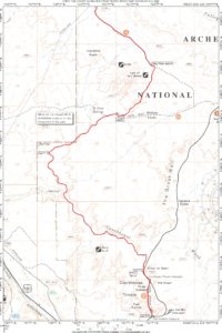
The first half of the Arches NP Ultra route.

The second half of the Arches NP Ultra route.

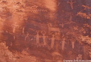
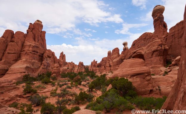
I convinced Adam and Ben to join me on a toasty April day (28th, 2018), and we set out from the Sand Dune Arch trailhead deep within the park. We jogged our way across the nicely packed sand and slickrock, past Sand Dune arch, Broken arch and into the Devil’s Playground campground for the short section of road over to the Devil’s Garden trailhead. We chatted, oogled the pale red rock formations and posed in front of what seemed to be an endless stream of arches. Tunnel arch, Pine Tree arch, Landscape arch, Wall arch, Navajo arch, Partition arch…..and we were only 5miles into our 50k journey! As we continued around the primitive loop we ascended to the tops of the rock fins that make up the Devil’s Garden, by far the coolest trail in the park. We jogged past the tourist across a 6ft wide fin, hopped off and continued on our way toward the Dark Angel. From the Dark Angel came the first bit of real adventure, as we dropped down a rocky gulley to a plateau that sheltered some of the coolest petroglyphs I’ve seen!

Our first arch of many, Sand Dune arch.

Double O Arch, one of 13 arches we saw on the run.

Running the fins in the Devils Garden, weeee.

Petroglyphs hidden deep within Arches National Park.

The next section would prove to be pretty slow, as we descended a rocky wash (all off trail) then hacked our way through low brush down sandy washes all the way to the Salt Valley road. Once back on the road it was smooth jogging back up to Tower Arch and into the Klondike Bluffs. As the maintained sections of the park goes, this is probably the least traveled, and we saw all of two parties as we headed South along the spine of the ridge. The April sun was starting to beat us up, and temperatures were rising into the 80s as we trudged across the sandy hills. This 8mile section was definitely the mental crux of the route for us all. We finally approached Herdina Park, another cool set of rock formations that rise out of the sandy desert. We struck off trail again, hugging the rock walls, passing by the Eye of the Whale and soon arriving at our refill rendezvous point along Willow Flat Rd, except our crew (Amanda) was no where to be seen???

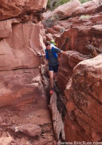
So begins the first off trail portion of the adventure, scrambling down the wash.

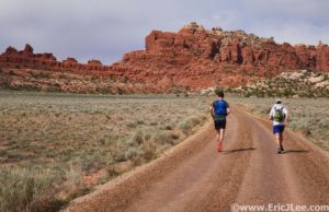
Running the dirt road to Tower Arch and the Klondike bluffs.

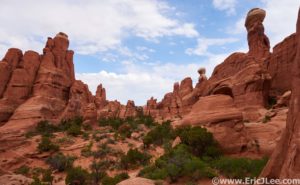
Tower Arch (below the tower on the right) and the remote backcountry of Arches.

After 15min of searching up and down the road we finally got a text that Amanda was on her way to us, pffeeww, cause we were all running out of water. I refilled all my water and food stores, but as I did it became apparent that both Adam and Ben were pretty beat up from the heat and sand and wouldn’t be continuing. So it was down to just me, the rocks, the sand, and the canyons. I jogged a short way down the Willow Flat rd then took a hard Southernly turn into Upper Courthouse wash. From here the route finding got really simple…head down the canyon until I reached the park road again, or so I thought.

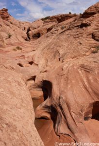
The sculpted upper section of Courthouse Wash.

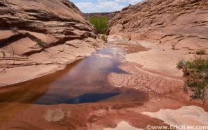
The spring in upper Courthouse Wash….

As I descended down Upper Courthouse I had to dodge a few dry falls, no biggy, then dropped into this cool sculpted canyon, where a few springs popped out of the rock walls. Then all of a sudden there was as pool of clear spring water right in front of me…huh, didn’t expect that out here. I waded on through and continued through the thicket on the other side, only to be confronted with a 20ft wide canyon that was water and thick brush from wall to wall…ok guess I’m wading. As I waded down stream the water got shin deep, then knee deep, then really murky…..ahead I could see a beaver dam, the reason for this pool. As I scampered over the dam and looked down the valley I quickly realized the adventure was far from over. The stream continued to flow down canyon and on all sides the valley was choked by dense brush and tamarisk, my favorite!

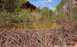
The beavers of Arches National Park????? That water was nasty!

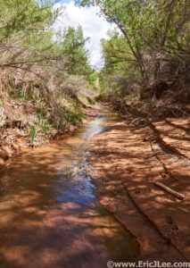
Courthouse Wash, no longer flooded, but a delightful romp in the creek and shade.

The obvious choice was to just splash my way straight down the stream (only ankle deep now), which turned out to be amazingly refreshing in the 87F heat. When I plotted out the route I never anticipated running several miles through a flowing stream in the middle of Arches NP, but here I was none-the-less. I hadn’t seen a soul since I left my friends, and as I bushwacked and splashed my way down canyon, knew I wasn’t going to see anyone until I hit the pavement 7miles later. After a short section on the park road I dropped onto the Park Avenue trail, the grand finale. Even though I was again surrounded by tourist, the final 2.5miles was stunning and perfect. I was hot, tired, sore, but immensely happy. Towering sandstone walls rose hundreds of feet on either side of me, blooming desert cacti nestled in between the rocks, and I was finishing up another big project in my quest to run an ultra through each of America’s National Parks, my 13th National Park Ultra to date. As I climbed the last few stairs up to the trail head I was met by Ben, Adam, Amanda and baby Odessa. A few last photos, and my 8hour 40min journey across and through Arches National Park had been a success.

Descending into Park Avenue, home stretch!

At the finish of my Arches NP Ultra, 30miles and 8h40min later!

Arches may not have the big sweeping vistas one finds in the mountainous national parks, but its got all the subtle mystery and wonder of the desert, plus the grandeur of the massive stone arches and rock formations around every corner of the park. It’s truly a unique park, and holds its own spot within the National Parks system. The run was far more difficult than the 30miles and 3000ft of elevation gain my GPS recorded, primarily owing to many miles of sand. The nice thing about Arches is that it’s a part that’s runnable year round, and while there may not be an extensive trail system there opportunities for running off trail are almost endless. Special thanks to Adam, Ben, Amanda and baby Odessa for indulging my wild run creations (and putting up with the hot sandy desert), Vfuel for keeping me fueled on long adventures and our National Parks system for keeping places like Arches preserved so that all of us have a chance to experience them in our own way, now and in the future. Protect our public lands, support the parks and treat them like the special places they are.

Recovery day of rappelling and canyoneering.

Adam rapping down out of U-turn canyon, its a long way.

Meltdown at the Jemez 50mile

Why do I sign-up for these stupid things? This thought circled through my mind on repeat as I slowly trudged up the fully sun exposed douche grade dirt road on Guaje ridge. I had felt so wonderful only a few miles before, running smoothly, taking in the scenery and just enjoying the morning, but as all too often happens in ultra running things can change dramatically in just a few miles. The question is, how do you deal with adversity, it doesn’t always get worse…..does it?

While I don’t race much I’ll admit sometimes its nice to have a big goal on the calendar to motivate one to get out and run, especially in the early season before the mountains open up. So when the opportunity arose to make a trip back to New Mexico to run the Jemez 50miler I thought it would be a great chance to visit a new place, explore some new trails, and to force myself to train a bit more. So while training went pretty well; 44miles in the Grand Canyon and 32miles in Moab plus others, I definitely didn’t do much race planning, which left me scrambling for a ride down and place to stay. After working out those last minute logistics, I hopped in a car with Dave and Mike on Friday afternoon before the race and we booked it straight to check-in in Los Alamos. After grabbing our race bibs and a short stroll around town we were off to bed for our 4am wake-up call.
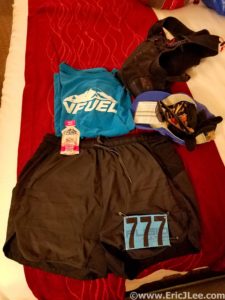
The gear is all laid out for race day.

The race start was one of the most casual I’ve been at, I was still strapping on my watch when Bill (RD) yelled go, oh shit, better start running. The pace set off a bit quicker than I’d have liked, but with the amount of dust getting kicked up I didn’t want to hang too far back for fear of setting off my asthma. So on ahead I charged into the darkness, just cruising along. As we began the climb up Guaje Ridge the morning light allowed us all to ditch our headlamps and simply enjoy the slow uphill grind in the cool morning air, though we all knew the heat was coming. I felt great in the cool morning air, making very quick work of the first 15miles to the ski lodge.

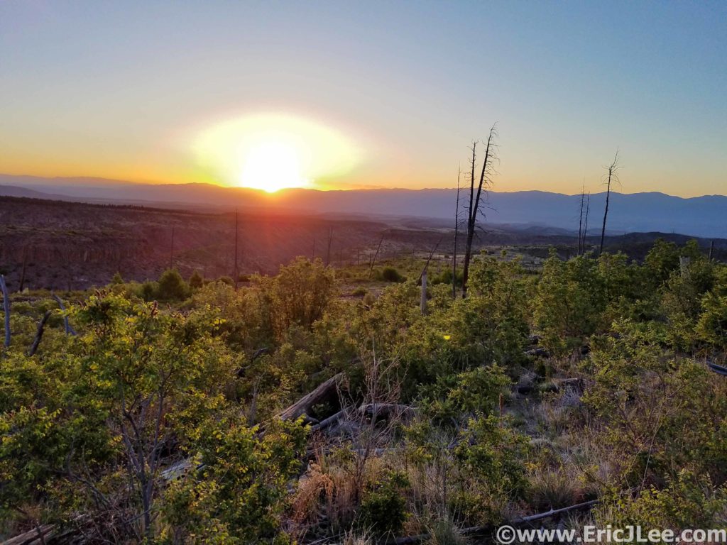
First glimpse of the sun over the Jemez Mountains, time to run and hide.

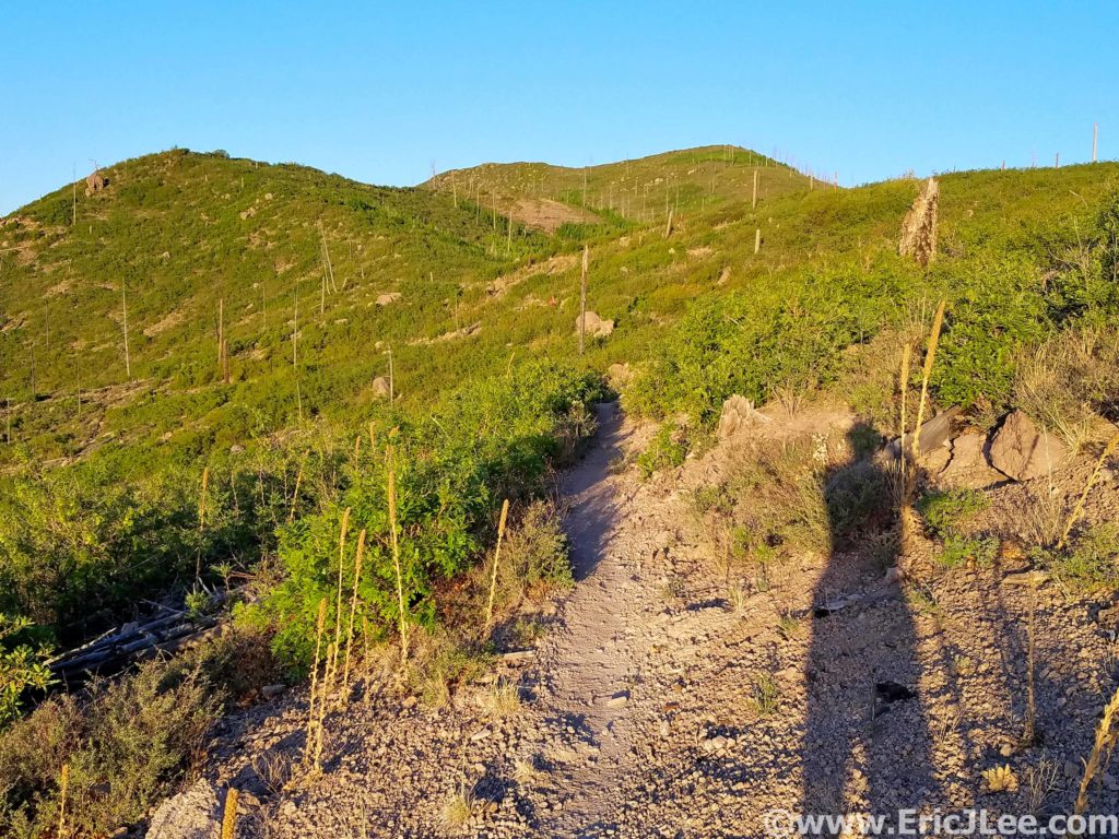
Climbing up Guaje Ridge.

While most people seemed to be dreading the steep climb through the Pajarito ski resort, I was excited for something I knew I wouldn’t be running. I put my hands on my knees and do what I do best, power hiked the shit out of it. I reached the summit in no time, switched back into downhill mode and found a happy pace on the long downhill to Camp May AS (mm22). At Camp May the temps were just beginning to warmup, but I pushed on, attempting to bank some miles before it got really hot. Quemazon (mm27) began my slow unraveling. I was doing a poor job of taking care of myself in the heat, and it was catching up to me. I began to feel lethargic, a little light headed, dry mouth and just out of sorts. While I was continually drinking and trying to cool off, it obviously wasn’t enough.

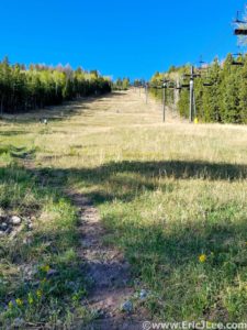
Up up and away through the Pajarito Ski area.

I held it together through Rendija (mm30), but had a complete meltdown as I trudged up into the heat of Guaje Ridge for the second time. The constant sun exposure, warming temps and stagnant air just crushed my energy and slowed me to a trudge. I mustered up a slow shuffle every once and a while, but it was mostly an 8mi death march up to the Pipeline turnoff. By then the shade of a few pine trees, coupled with my increased hydration and a slight breeze began to normalize my core temp, and I was able to jog my way down to the LA Canyon AS (mm40) where I promptly sat down, determined to fix my shit before leaving.

Gettin hot in herr, climbing back up Guaje Ridge on the second loop, oh so hot and sunny.

Feel like I’m about to meltdown in the sun.

I’ve never been great in the heat, but have found that I can tolerate it if I carefully manage my core temp. After downing a bottle of ice water and a few pieces of salted watermelon Blake Wood offered to douse me with a pitcher of water and fill my hat with ice, that did the trick. I was finally cooled off and I could feel the pop flowing back into my legs. I ran all the way back down to the Quemazon AS with a renewed determination to finish strong. I quickly filled my bottles, drenched myself and took off on the hot dusty trail toward the finish. At the final AS (Rendija mm47) I had them throw a pitcher of water on me and pushed hard for the finish. I hadn’t been eating much for the past 3hours and knew I was running on borrowed time. As I approached the final rolling mile my energy level began to suffer from lack of calories, but now it was just mental….keep on pushing, almost done. As I crested the final steep climb the finish chute came into view and I jogged on across, 9:49, not what I’d hoped for, but a time I’m satisfied with considering how up and down my race was. All I wanted now was something cold to drink (ended up drinking 3 bottles in 30min) and to stop moving. 2hours after finishing, we crammed back into our car and drove off for Colorado, cramping, sore muscles and all (last thing I wanted to do).

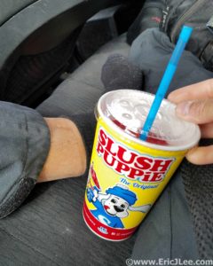
Recovery after a hot race should always include a slush puppie/slurpie.

The Jemez 50mile (alternate course), lived up to its billing as a interesting but tough route. With a good mix of runnable terrain and some steeps thrown in for good measure, it kept one guessing. And while my day didn’t go very smoothly, the race was superbly run and all the aid station volunteers were wonderful. It was unfortunate that this year we weren’t able to run the normal course through the Caldera, but with the extreme fire restrictions it was nice that we were able to run at all. Highly recommend the race and the area to anyone looking for an early season mountain adventure, especially if you’re the kind of person who likes a little heat. Thanks to Vfuel for keeping me fueled up all race long, all the volunteers and organizers at the race and to my fellow runners whom I slogged along with all day. Run fast, run healthy, but most importantly run happy.
Revisiting the Rim-to-Rim-to-Rim

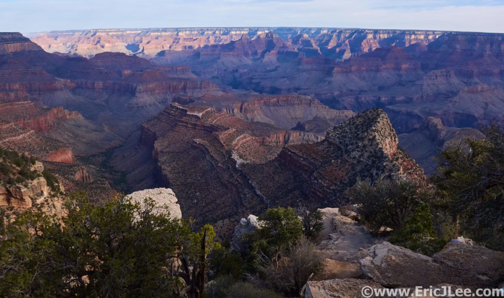
Panorama from Grandview Point

We ran where yesterday? I’m pretty sure that question was asked several times as we stood on the South Rim at Grandview Point admiring the morning shadows dancing through the Grand Canyon. The previous day 9 of us had set out to complete the famous Rim-to-Rim-to-Rim  (R2R2R) run across the Grand Canyon (and back), and thankfully everyone succeeded, though some were a little less spry than others.

When the original invite went out to organize a group to head to the Grand Canyon my initial thought was, I’d already done it twice, why do it again in lieu of something different? But as the months drew nearer, the group logistics began to fall into place, and I realized how distant those memories of my last Grand Canyon trip were (8 years ago) and how much I missed the desert and needed a little time wandering the red rocks, so I was 100% in. As the date drew closer I was surprised to learn that I was the only one of the group of 11 that had ever done the R2R2R, and one of only a few who had even been to the canyon, what a treat it was going to be sharing this experience with so many that had never experienced the wonder of dropping 5000ft into the depths of one of the most surreal natural landscapes.

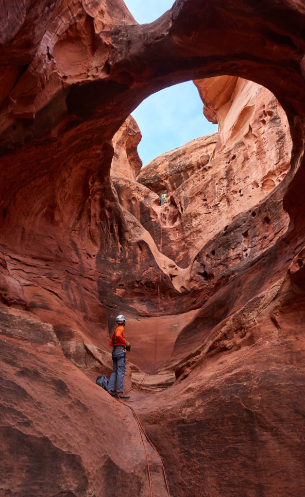
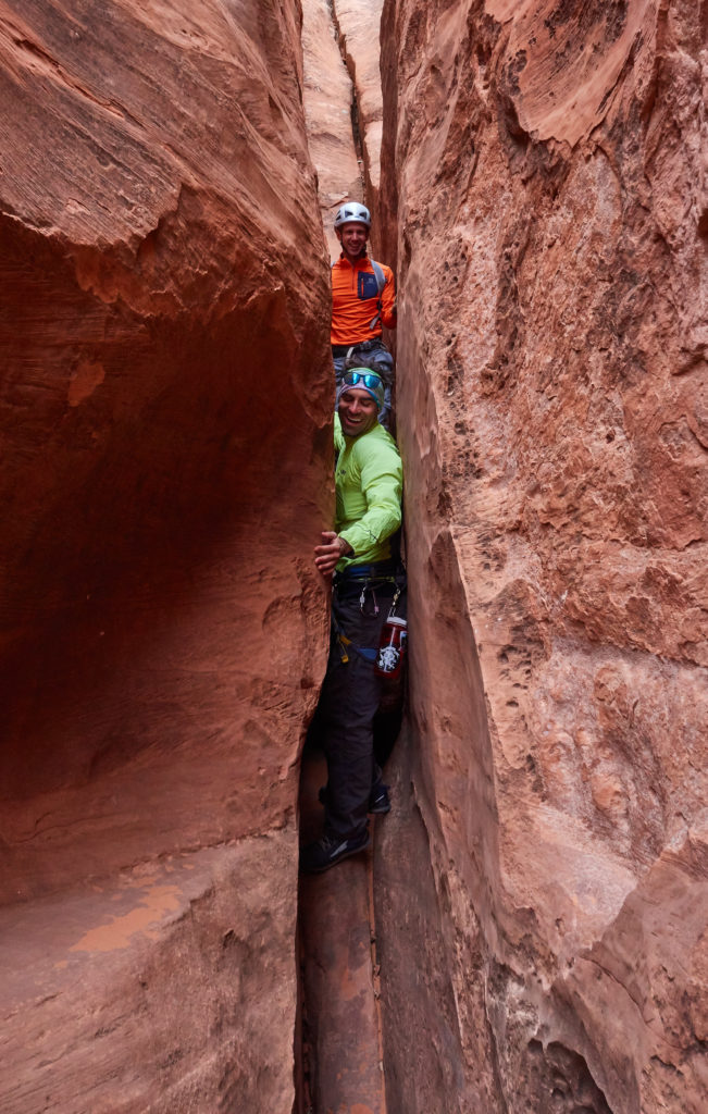
So Jake, Doug and I packed up our shit in my little Subaru, squeezed in Jefferson as a last minute addition and hit the road around 630p on Thursday headed for a late night camp out at Rabbit Valley (the CO/UT border). On Friday most of the folks who had never seen the canyon wanted to get down there a little earlier to take in the views, but I was able to convince Doug and Jefferson to join me on a little side adventure into Hogwarts canyon in the North Wash region. We grabbed our harnesses and belay devices, I stuffed some extra biners, webbing and cord in my backpack and Jefferson shouldered my 200ft rope and we set off from Hwy95 for the 2.5mi round-trip canyoneering adventure. The route finding was pretty straight forward and we soon found ourselves at the top of the first rappel, leading into the narrowing canyon below. We spent the next hour and change rappelling, scrambling, taking lots of photos and just enjoying the silence of the slot canyon. We soon popped out back at the road only 1/2mi from the car and continued our drive to the Grand Canyon (2:15 quick canyoneering adventure).

Second rappel down the Hogwarts canyon narrows.

Squeezing and scrambling the narrows of Hogwarts makes one feel like a kid again.

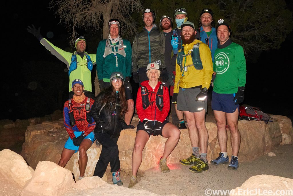
After passing through the Grand Canyon East entrance we approached the edge of the South Rim, our first views into the canyon, and got a treat of exactly how F-ing huge the Big Ditch truly is, “we’re running where”? After some last minute packing and planning, we shoveled down dinner and tried to hit the hay earlier for our 4am wake-up call. The alarms went off between 330-4a and we all slowly stirred ourselves awake in the chilly morning air. We shoved all the necessary gear into our running packs, wrapped ourselves in down coats and drove over to the trailhead. Since one can’t park at the actual trailhead for the South Kaibab trail, we parked in some pullouts along the main park road, begrudgingly threw our warm jackets into the cars and jogged down the road to the South Kaibab trail under a moonless but glitteringly starry sky.

The whole gang at the start ready to drop into the canyon a 4:45am.

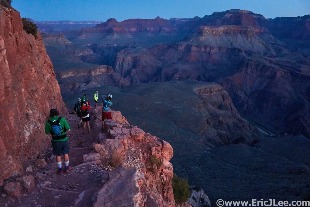
In the pre-dawn light our group of 9 followed a train of headlamps down into the canyon, negotiating switchback after switchback. As we neared Cedar Ridge civil twilight began to slowly illuminate the massive buttes and towers of the canyon, and for the first time on the trip we started to get a sense of how ‘grand’ the canyon really is. We were only a fraction of the way down the steep South Kaibab trail, and there was a lot more trail ahead of us. The purple, pink and red hues of the morning light on the rocks had us all gaping almost as much as running, we stopped to take photos every few minutes, and why not, the views were stunning. The excitement level was on 10 and we all felt so fortunate to be physically capable of undertaking such a crazy wonderful experience. Despite this being my third R2R2R I felt like a kid in a candy store, while the views were vaguely familiar, the sheer joy, wonder and excitement of running down into the canyon was no less than the first time I visited.

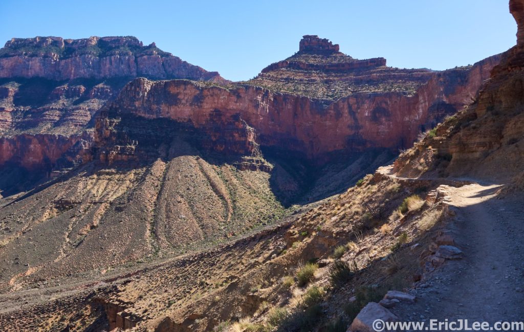
Morning light illuminating the canyon walls as we drop down the South Kaibab.

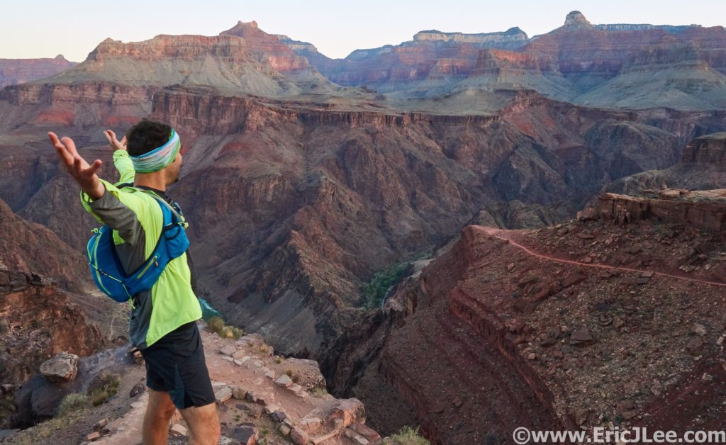
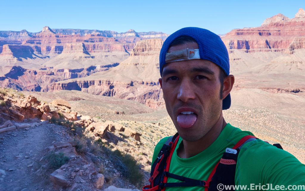
Jefferson perfectly encapsulates how we were all feeling that morning.

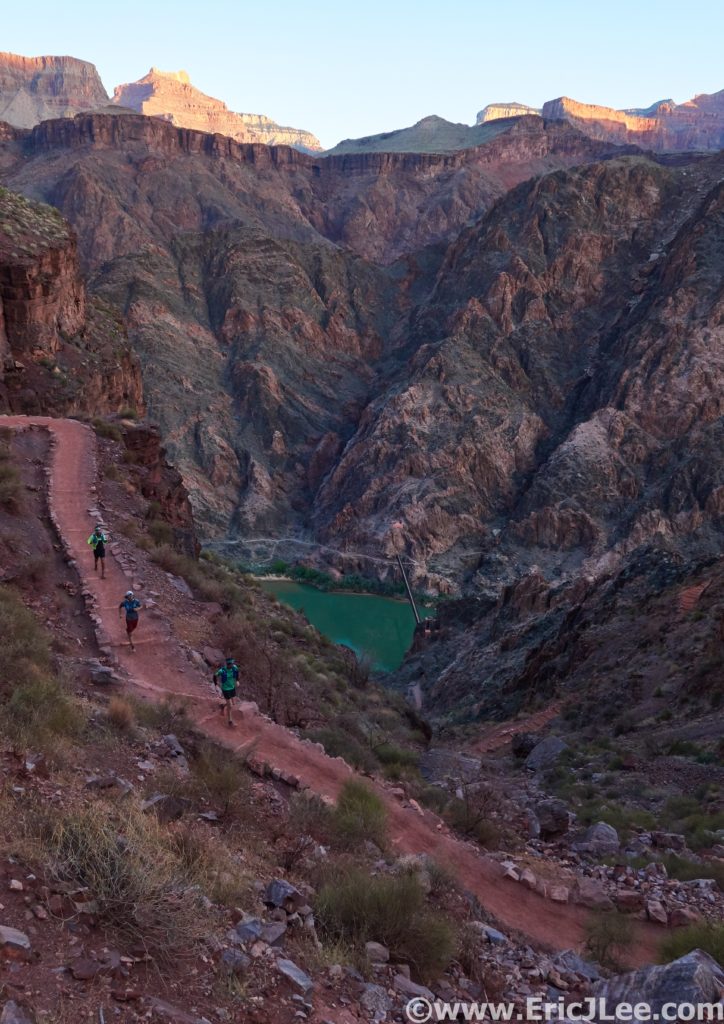
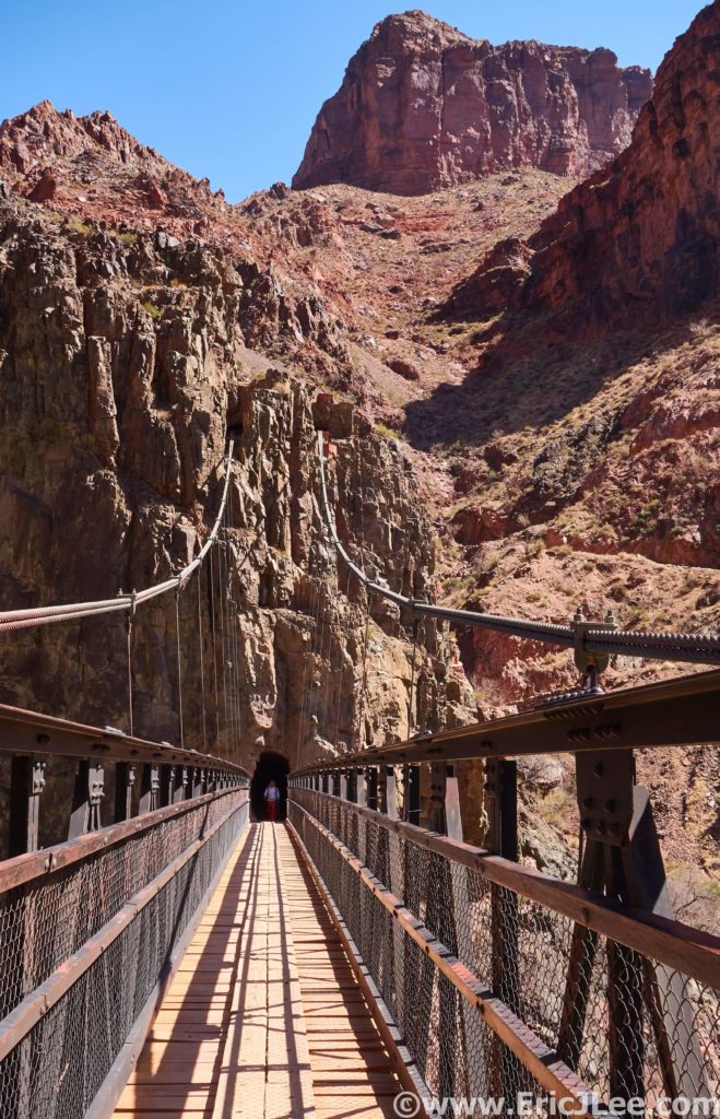
Descending to the Colorado River and the Black Bridge.

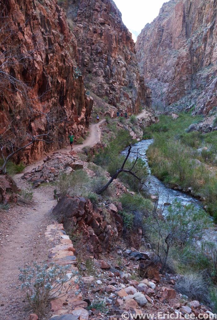
We jogged our way across the Black Bridge over the Colorado and into Phantom Ranch for our first refill and official break of the day. After Phantom we entered The Box canyon, one of my favorite portions of the run. The red and black rock walls rose hundreds of feet vertically above our heads, as the tranquil Bright Angel creek slowly gurgled along side. Occasionally a slot canyon would pop in from the side, but for the most part we were trapped by the narrow walls. This isolating feeling is one of the things I really love about the desert canyons, you have two choices, forward or backward, surrounded by the impenetrable but beautifully colored rocks. As we ran up The Box the group started to separate a little, but we regularly regrouped to share the join and wonder and take numerous photos, and soon found ourselves at the ranger cabin (AKA Manzanita). After a water refill and a snack off up to the North Rim we went.

Runners entering The Box canyon.

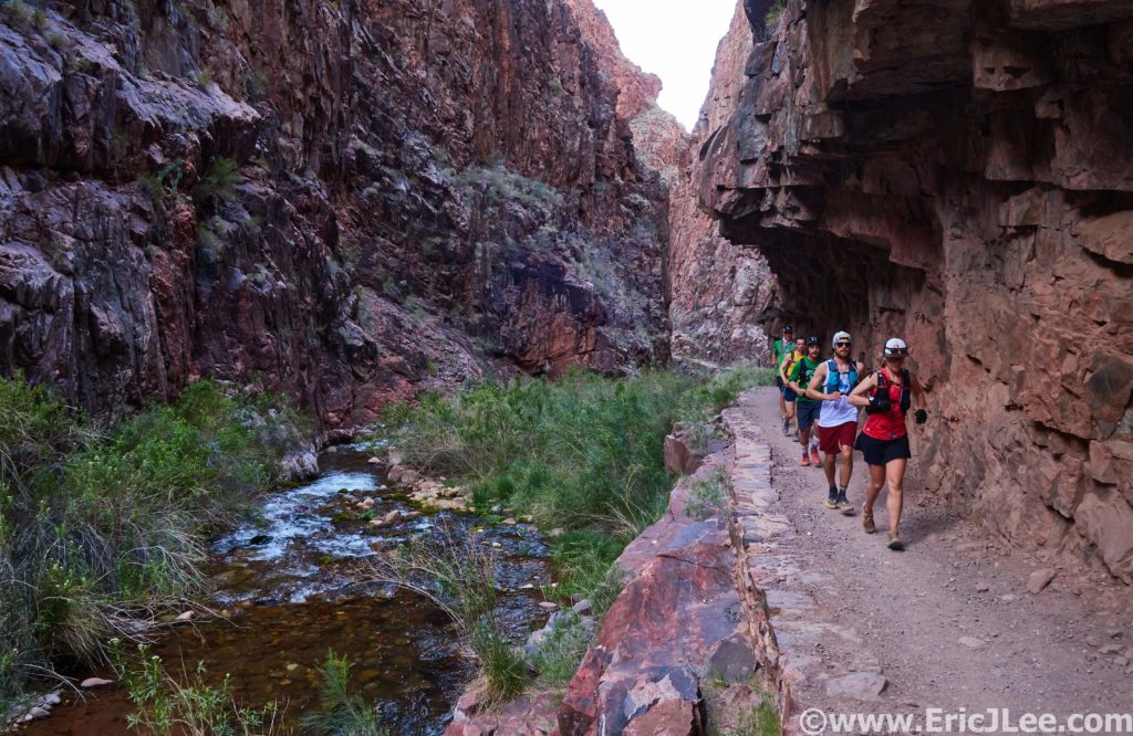
Shelf trail in The Box alongside Bridal Veil creek.

I was feeling a bit spunky so decided to get the legs moving a bit and pushed on ahead up the never-ending switchbacks to the Supai tunnel where I laid down in the shade for a short nap. Ben, Jefferson, Adam and I regrouped at the Supai tunnel before striking out on the final steep push to the North rim where we arrived in just over 6.5hours. It was cool and shady at the trailhead where we relaxed for a bit waiting for the others to catch-up. We all regrouped on the North Rim around 7hours after leaving the cars, half way done with our journey, now we just had to get home…..

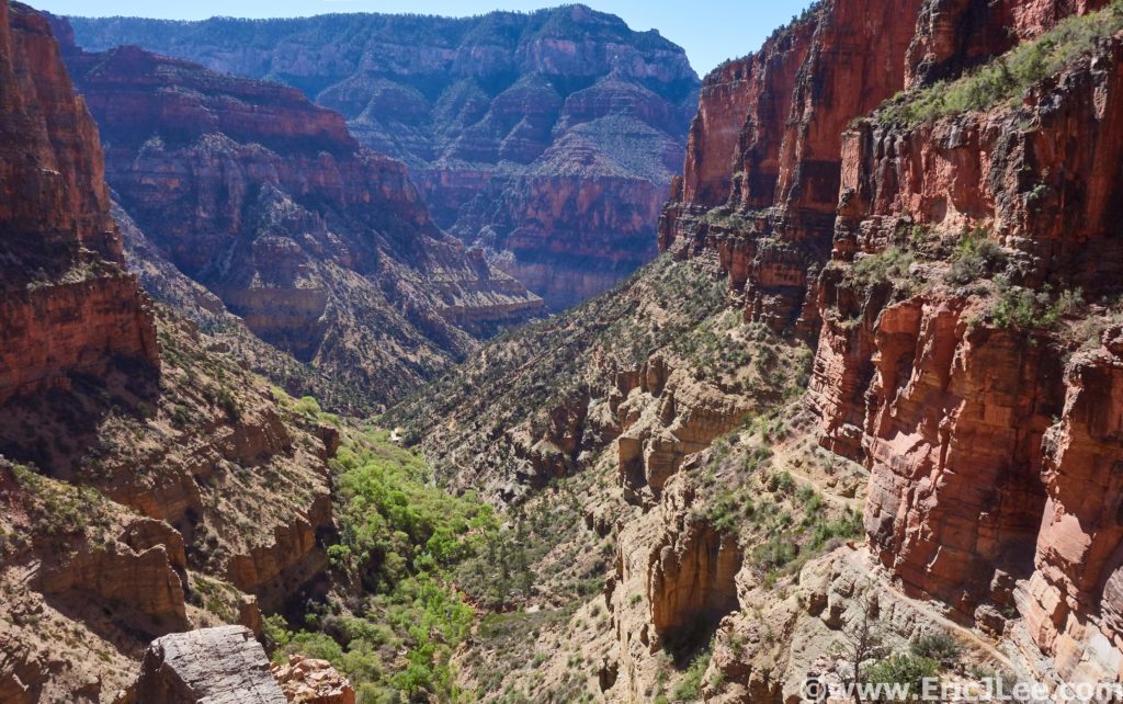
Climbing up toward the North Rim, note the trail on the right.

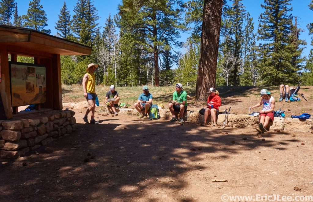
Hanging out at the North Rim trailhead in the cool air.

With a long 21mile grind ahead of us I opted to forge ahead on the technical but runnable downhill from the North Rim. I whipped around switchback after switchback back down into the depths of the canyon, across the shelf trail and before I knew it I was back at the ranger cabin. After a quick water refill and dousing (it was getting warm) it was off on the long dry stretch back to Phantom Ranch. I was well ahead of the rest of the group at this point so figured I was running it solo back to the car. I took my time down Bright Angel creek, just cruising the rolling terrain and focusing on hydrating and keeping cool. I passed a few other runners and hikers, but it was actually a surprisingly quiet day on the trail. I finally arrived back at Phantom Ranch, a bit toasty from the constant sun exposure, but overall in good spirits. Good thing too, because I knew what lay ahead, 4500ft of relentless climbing in the hot sun back to the South Rim, oh joy.

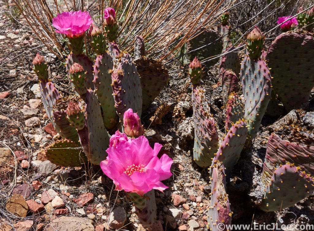
Cacti blooming along the trail near Cottonwood Creek CG.

Back at the Black Bridge and trying to mentally prepare for the long climb ahead.

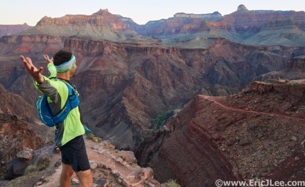
I felt pretty good and was optimistic at making it back to the South rim before the 12h mark, but the canyon quickly told me otherwise. About half a dozen switchbacks up I could feel the lethargy and fatigue building, just too much time in the sun and a bit dehydrated. I started setting small goal, moving from shady spot to shady spot (under rock outcroppings), in order to take a short reprieve from the sun before moving onward. The time dragged by, each switchback seemed to take longer and longer, but upward I went. Finally I hit Cedar Ridge, the temperature cooled and I trudged on, just a little faster, making the South Rim at around 12h15min after starting out. Not my fastest time across the canyon, but a solid day in a stunning place. After returning to the car to rehydrate and fuel, I lugged some extra food and water back to the trailhead (3/4mi) to await the arrival of the rest of the crew. Jefferson wasn’t too far behind, then came Ben and Adam, and just after dark the rest of the crew trudged their way back up to the rim. The South Kaibab trail had thoroughly beaten us all down, but it hadn’t dampened our spirits at what an amazing day it had been. The canyon had shown us just a small fraction of her vast beauty, and had also reminded us that none of us are stronger than nature, and that we are merely guests in this amazing temple.

The moment that you look up and realize its a really long F-ing way to the top.

Cumulative effect of 9hours in the sun, feeling a bit cooked.

While I ran the second crossing solo, being able to share the canyon with good friends definitely made for a wonderful experience. Stopping at every view point to pose for photos, marveling at the massive walls and letting our senses immerse themselves in one of the most magical landscapes in the world. A place we are fortunate enough to have protected for us to enjoy in the crazy manner that we deem appropriate (running 42miles/11k ft). The Grand Canyon R2R2R is not something to be taken lightly, but it should definitely be on every ultrarunners bucket list. Special thanks to Vfuel for keeping me powered, to Lauren and Brad for proposing such a wonderful idea and letting us share in the Birthday celebration (for both Lauren and Adam), and all the rest of the Rocky Mountain Runners for the company along the journey. Just remember to respect the canyon, leave it better than you found it, and help protect it for future generations to come.
Adam fully feeling the effects of spending 14hours in the canyon.

“In the Grand Canyon, Arizona has a natural wonder which is in kind absolutely unparalleled throughout the rest of the world. I want to ask you to keep this great wonder of nature as it now is. I hope you will not have a building of any kind, not a summer cottage, a hotel or anything else, to mar the wonderful grandeur, the sublimity, the great loneliness and beauty of the canyon. Leave it as it is. You cannot improve on it. The ages have been at work on it, and man can only mar it.” – Teddy Roosevelt

Sunset from the South Kaibab TH over the Grand Canyon.

Finding the Groove

Well, it was bound to happen eventually, but after 547days (1year 6months) I reinitiated my life as a weekend warrior. Meaning, I’m back working full time and doing my best at adulting once again. People have asked if I’m sad to be back working again, and honestly, no (well maybe a little). I had an amazing 18months of Funployment. Adventures I hadn’t even thought possible, I met so many amazing people, opened my eyes to all new experiences and cultures and brought emotions into my life that I never expected. From wandering the temples of Angkor, swimming with bioluminescent plankton in the gulf of Thailand, trekking across Nepal, playing soccer with my Nepalese school children, watching sunrise over the valley of Bagan, sharing meals with Burmese locals (who spoke no English), watching lava flow into the Pacific ocean, living in Torres del Paine NP with the locals to wandering the Colombian countryside. I can’t even begin to describe how the accumulation of all these moments (and so many more) has changed me and affected my views, but I can definitively say its opened my eyes to a much bigger world, one I’ve only begun to scratch the surface of.
Nepal and Annapurna, Nov 2016.

While I know its not possible for everyone to take 18months off to wander the world and do what I’ve done, I would highly recommend everyone take some time in their life to put themselves into a new environment, to expand their world and to learn that our culture and viewpoints are far from the only one. But for now, its back to ‘ordinary’ life in Colorado, which I’d say is far from ordinary. Pre/post work runs and scrambles, weekend back country ski trips, climbing mountains and running around all over the place. Many may not consider being home an adventure, but I feel blessed that the place I get to call home offers up so many wonderful opportunities and some great friends to share it with.
Running around Boulder, the scenery is pretty darn nice.

Powder day near East Portal, all smiles.


Scrambling obscure flatirons in January with friends.

Backcountry hut trip near Aspen, CO.

It’s snowing, so why not go for a run up a mountain? RMR usual Monday jaunt.

For those who are curious, I’ve taken a full-time position with the company miRagen in Gunbarrel as part of their pre-clinical Immunology team. In short I’ll be doing early stage drug testing for a litany of health issues including; lymphoma/leukemia, fibrosis, neurodegenerative diseases and ocular inflammation. Sadly I can’t divulge any more in writing, but you’re welcome to read more about the company here (or ask me in person). While losing some of my daily freedom is a bit of a bummer, it feels great to once again be engaging my brain and working on projects aiming to improve human health.

Yardsale of gear before heading underground into the caves of Carlsbad, NM.

Adulting doesn’t seem so bad for now, but I’ll admit my day dreaming continues. There are so many places left to visit, cultures left to experience, new adventures left to explore. Just because you don’t have unrestricted free time doesn’t mean this type of adventure can’t be apart of your life, though admittedly it does take a bit more effort to make it happen. But what’s more important is to never forget to appreciate each day and all the wonderful things it brings. Whether that means watching the sunrise on your daily commute, laughs and sharing knowledge with coworkers, runs on your backyard trails, beers and non-sense with friends or just some quite time with the special person in your life. You only get one shot at each moment, so why not appreciate it for everything that it is?

Pinnacles National Park Ultra

It’s been quite some time since I’ve written anything here, but life has been far from boring during the past three months. Mostly I’ve just been enjoying being home, catching up with friends, wandering around Colorado and Utah and even doing a bit of work. Though the international travels have been put on hold as I search for full time employment, it doesn’t mean the adventures have stopped. During a week long holiday visit back to California, I took advantage of some nice weather to head to Pinnacles National Park to complete my 11th National Park Ultramarathon (12/28/17).

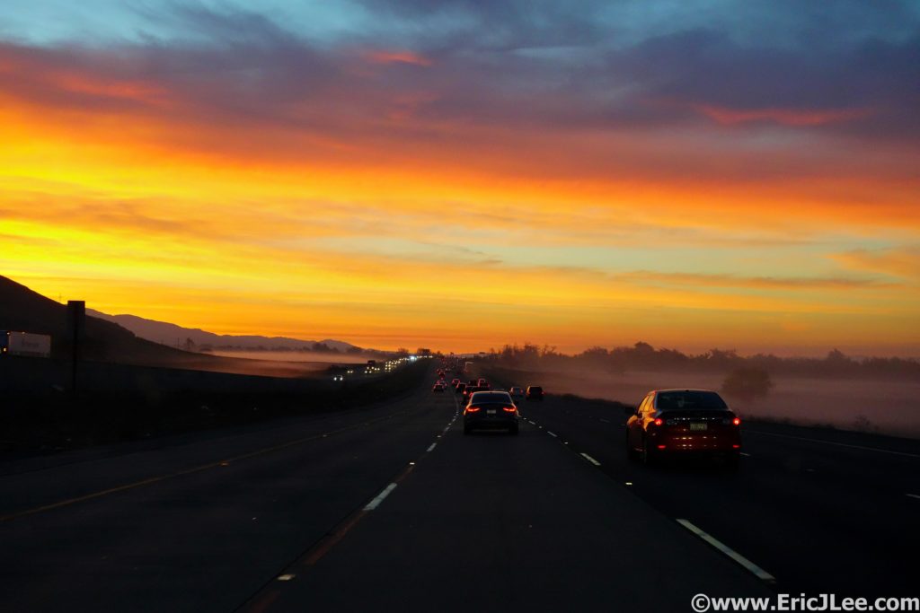
Sunrise along Hwy101 enroute to Pinnacles National Park.

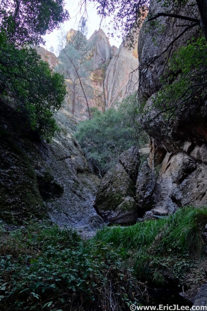
My mom and I made the drive down to this lesser known park just South of San Jose, CA where she dropped me off at the visitor center near the East Entrance. I began my morning jogging along the Bench trail into Pinnacles on a chilly (31F) California winter day. The trails were beautiful smooth double track as I cruised up the dry wash past the Old Pinnacles TH and onto the Balconies trail. Volcanic rock cliffs rose up all around me, and the dry river bed all of a sudden disappeared into Balconies Cave. I pulled out my headlamp and hopped my way into the darkness, twisting around giant boulders, scampering up rock staircases and ducking under a series of chock stones before finally reappearing on the other side. A neat little detour before returning to the smooth double track and arriving at the Chaparral TH (5.6mi, 1h1min) for a quick water refill.

Running along the Old Pinnacles trail enroute to Balconies Cave.

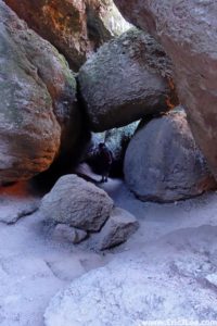
The hall of chockstones in Balconies Cave.

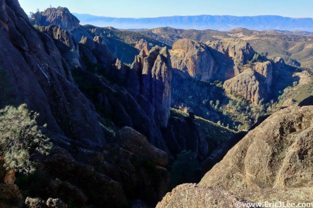
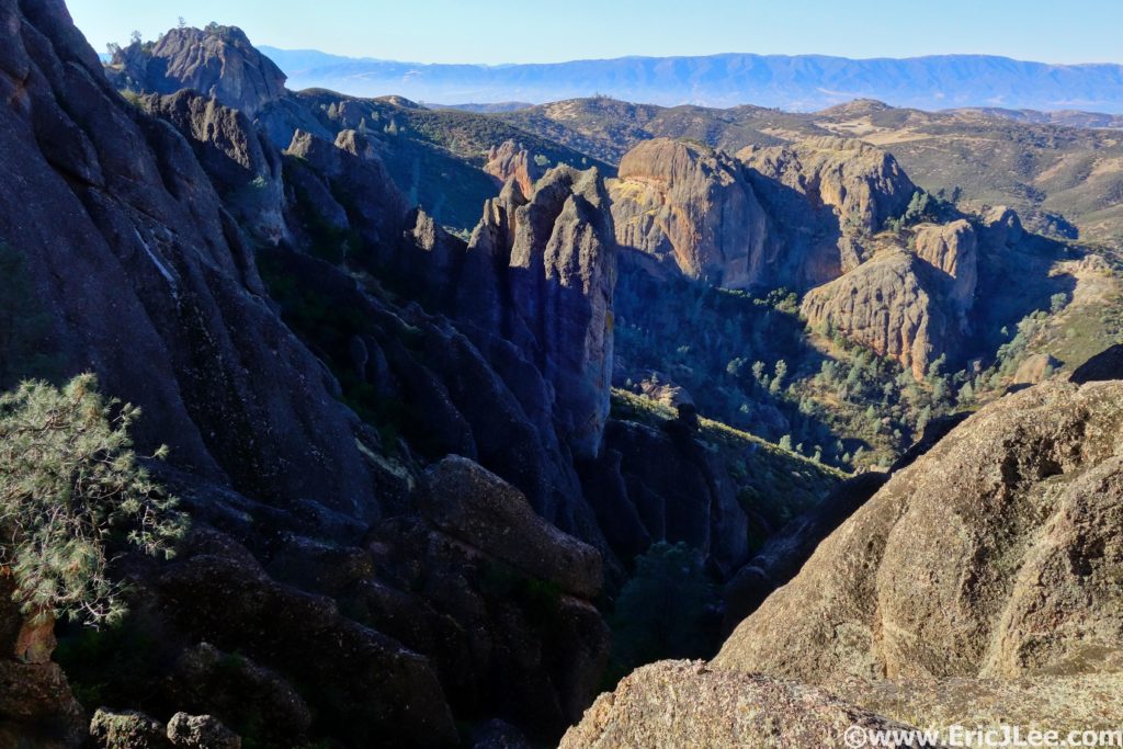
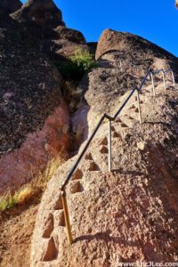
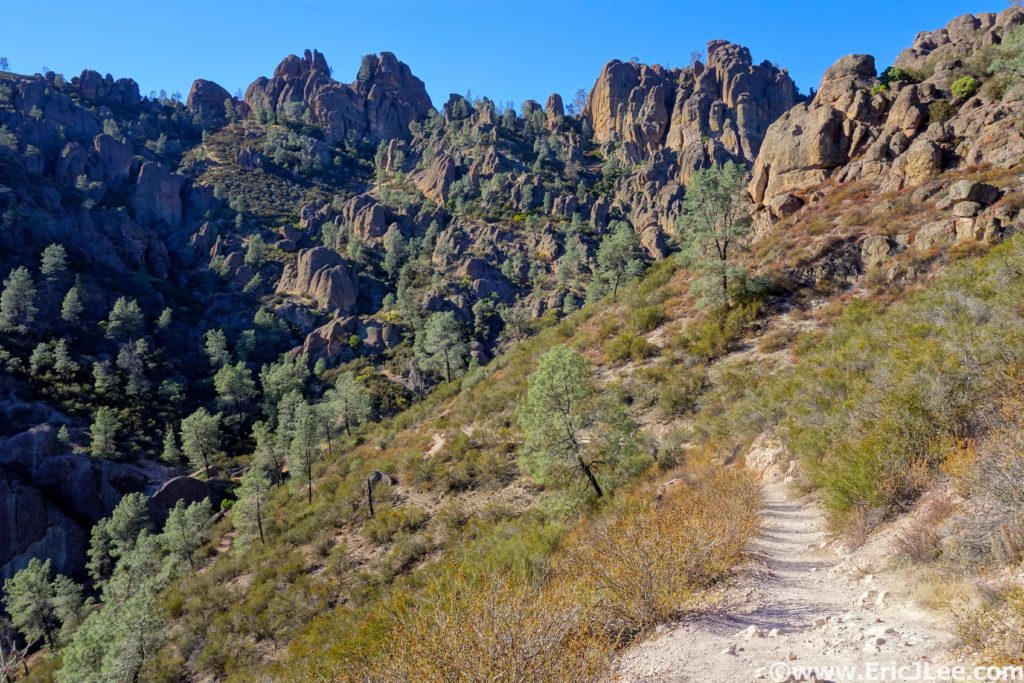
After the Chaparral TH is when the fun began, as I followed the swooping Juniper Trail up up up to the Tunnel trail and into the heart of the rock formations that make up Pinnacles National Park. The trail was never too steep, but steadily climbed up to the junction with the High Peaks trail where I hung a right and ascended some steep cut rock stairs to a spectacular view of the valley laid out below. Rock spires jutted out of the mountainside all around, though I wasn’t lucky enough to see one of the famed California condors soaring overhead. After another short section of rock stairs the trail smoothed out and I cruised on down toward Bear Gulch Reservoir, only briefly stopping for a few photos and to chat with my Mom as she hiked up the High Peaks trail.

View down from the Tunnel trail, rocks rocks everywhere.

Some of the rock stairs cut into the High Peaks trail.

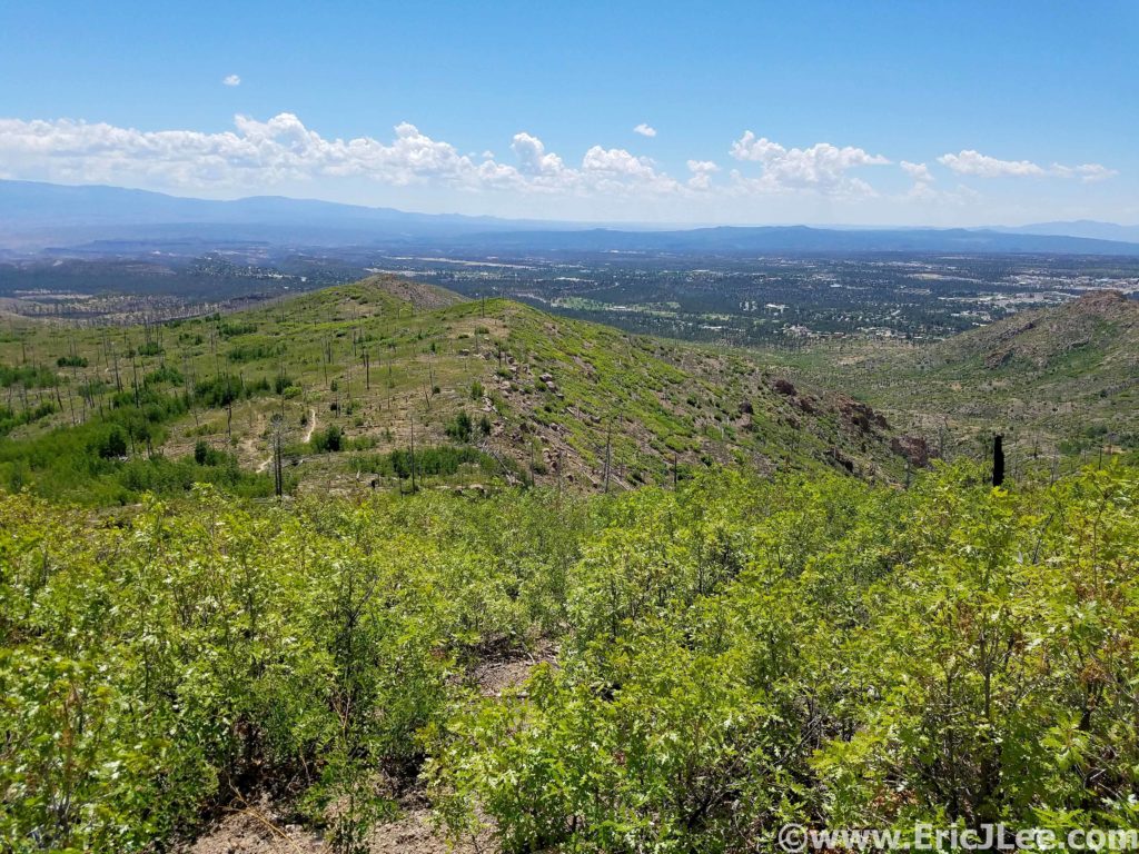
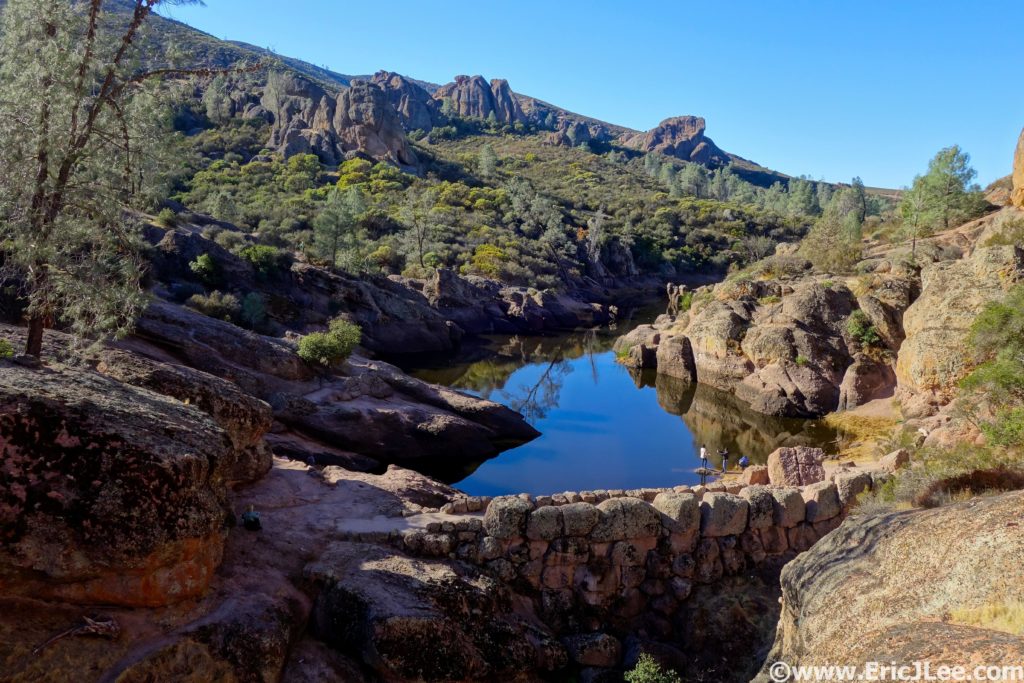
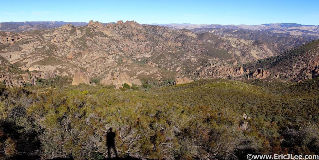
I paused briefly at Bear Gulch Reservoir (10mi, 2h) to take in the little oasis amongst the dry chaparral, and then promptly setoff on the trail to the Chalone Peaks, a steady 1800ft climb to the high point of the park. Though the sun was beating down on me the chaparral was tall enough in spots to provide a little shade from the December sunshine. I made good time hike/jogging my way up to the fire tower atop North Chalone peak (13.3mi, 2h50min), taking in the panoramic view of the High Peaks region of the park and the valley far below. After a quick snack I was off to South Chalone Peak on the ‘unmaintained’ trail, which turned out to be a pleasant rough single track. The view from the far point of South Chalone Peak was uninspiring and hazy, so I skipped the true summit and headed back the way I came.

Bear Gulch Reservoir, tucked in amongst the rocks.

Panoramic views of the park from just below North Chalone Peak.

The jog back to Bear Gulch Res was uneventful as I cruised on down the smooth trail in the warm sunshine. This time around the reservoir was teaming with dozens of tourists, so I quickly scampered on by and down into Bear Gulch Cave. After winding my way around the giant boulders that plugged up the valley bottom I popped out on the Moses springs trail by accident, so followed that back into the madness that was the Bear Gulch day use area (20.7mi, 4h25min). I could feel the fatigue setting in at this point, as I definitely wasn’t trained for a 27mi trail day. As I ascended the Condor Gulch trail I again ran into my mother nearing the end of her hike. The trail was hot and sunny, but the views up into the rock formations of the High Peaks were stunning. I kept a sharp eye out for condors, but no such luck again. After cresting the climb at the High Peaks trail junction it was all downhill back to the East Entrance. The final bit went by uneventfully as I cruised the smooth double track down valley and into the campground. I finished off the 26.6mi (GPS Watch) loop in 5h41min, one could definitely run it faster, and there are many options to cut the distance down into smaller segments if you’re not up for 27miles.

Bear Gulch Cave, more of a plugged up canyon, but still fun.

Looking up Condor Gulch toward the High Peaks section of the park.

My legs were tired and a bit sore, but it had been a beautiful day of running, scrambling and photographing one of America’s lesser known parks. While Pinnacles may not live up to the standard set by Yosemite, Glacier, Zion or Yellowstone it offers up a look into some beautiful volcanic formations, filled with elusive condors and lesser known species like the California Red-legged frog. This coupled with the fact that the trails are beautifully runnable make it a worthwhile destination if you’re visiting the Bay Area (or live there). As the National Park project moves forward I’m slowly learning more and more about the diverse ecosystems and geology that make our country so amazing and unique, each piece of the puzzle makes for the spectacular system of National Parks that I hope we can preserve for the future generations. Thanks to Vfuel for powering my runs and Ultrarnnner Training for keeping me focused, even when a definitive goal doesn’t exist.

A Year on the Road (The Traveler’s Life)

For those of us in the United States September 11th has a fairly profound meaning, for me it also marks the date I started my year of unemployment (in 2016). I kept finding excuse after excuse of why I couldn’t or shouldn’t quit my job and take some time off, but finally after my failed attempt on the Colorado 14ers in 2016 I realized…there would never be a perfect time or situation, and sometimes you just need to take a leap into the deep end and see what the life takes you. Leaving a job where I enjoyed the work and the people was hard, but it was time for a change, and there was simply too much of the world out there which I had not experienced and explored.

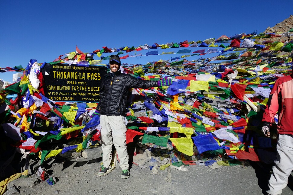
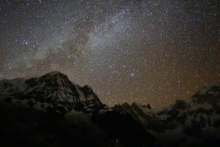
It’s impossible to fully summarize everything that’s happened to me, all the people I’ve met or everything that I’ve experienced, but I can say that it’s far exceeded any expectations I could even have dreamed of. I’ve wandered the 1000year old temples of Angkor, swam with bioluminescent plankton, glimpsed the Milky Way shining above an 8000m peak (and watched an avalanche rage down it), climbed to 5416m altitude and was mistaken dozens of times for a Nepalese guide, volunteered in a Nepalese school, watched sunrise/sunsets from the temples of Bagan, was invited to dinner (3x) by Burmese people with whom I shared no common language, watched lava flow into the ocean, had all my identity/credit cards/cell phone stolen, spent six weeks running around Patagonia, got to live and work in Torres del Paine with the rangers and build trails, wandered the Atacama desert, played Tejo (look it up, its awesome), ran around the slot canyons, redwoods, Glaicer NP and Canada, watched a total solar eclipse (unreal) and visited many old friends and made countless new friends.

There are so many clichés that are applicable; YOLO, carpe diem, wanderlust, and on and on…I would not have traded this year off for anything, and hope that many of you out there have the chance to experience even a little piece of the journey I was so fortunate to have been on. Just remember, if you’re waiting for the perfect opportunity, it may never come, but if you put yourself out there into the unknown I highly doubt you’ll regret it. And for those asking, yes I’m back looking for jobs in the Boulder, CO area so if you know any immunology/cell biology labs hiring, hit me up. I’ll let the following collection of some of my favorite photos from the travels tell the rest of the story…and yes it was even more amazing than the photos.

Early morning kayak in Khao Sok NP, Thailand.

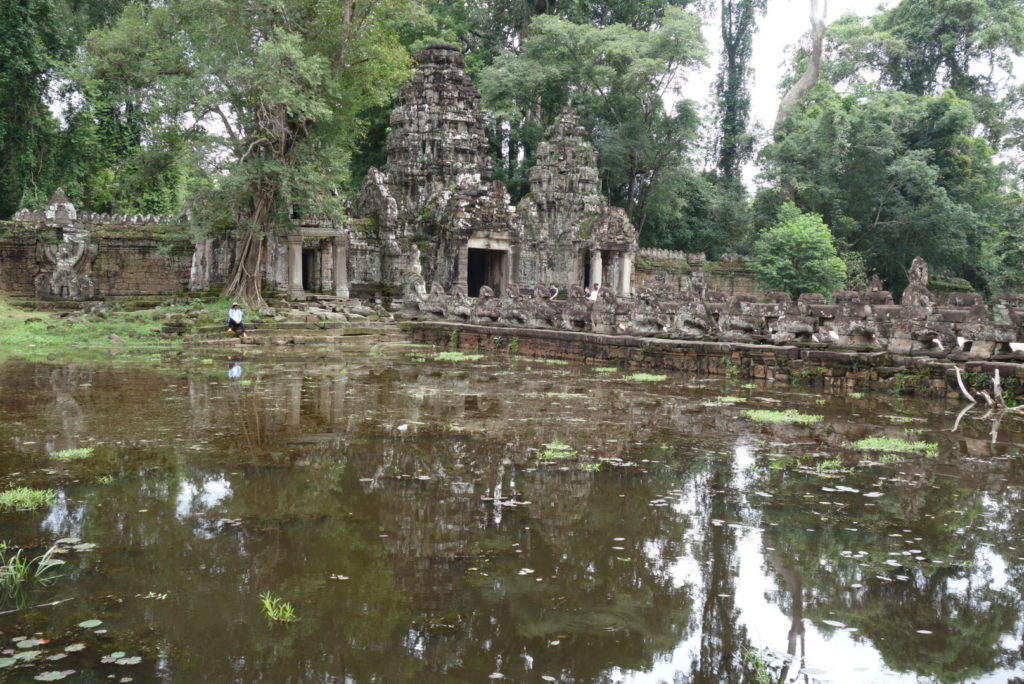
Temples of Ankor in Cambodia.

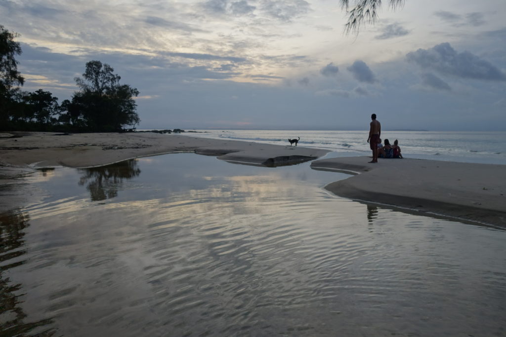
Sunrise on Koh Rong during a 4 nights stay at Suns of Beaches, amazing and unexpected island life in Cambodia.

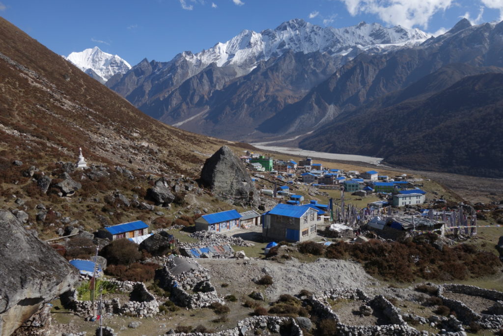
Kyanjin Gompa and the quiet magnificence of the Langtang Valley, Nepal.

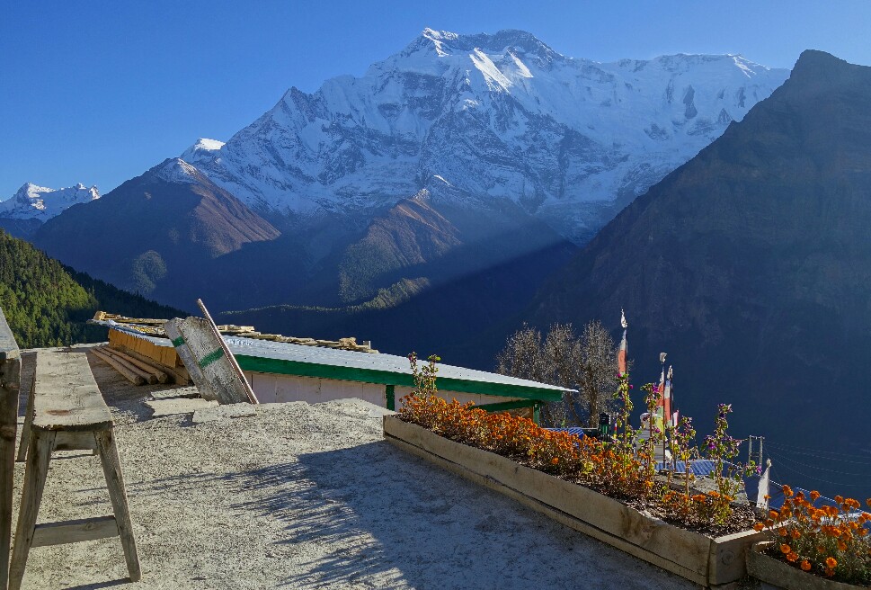
Roof top breakfast in Gyharu with views of Annapurna, Annapurna circuit Nepal.

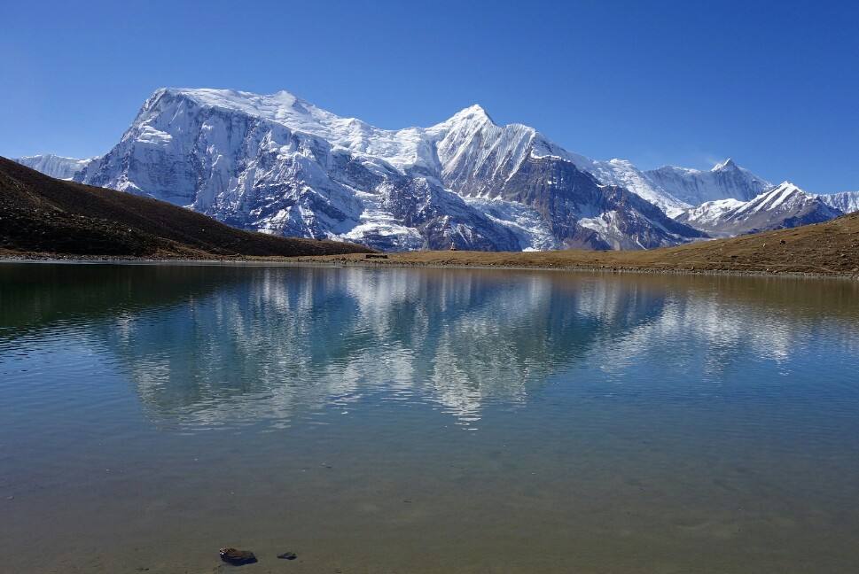
Kicho Tal along the Annapurna Circuit, Nepal.

Thorung La Pass, 5416m, highest elevation I’ve ever been. Nepal.

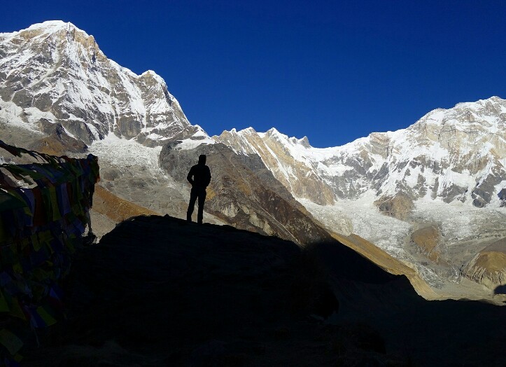
Annapurna Basecamp with Steve, what a view. Nepal.

The Milky Way and Annapurna, Nepal.

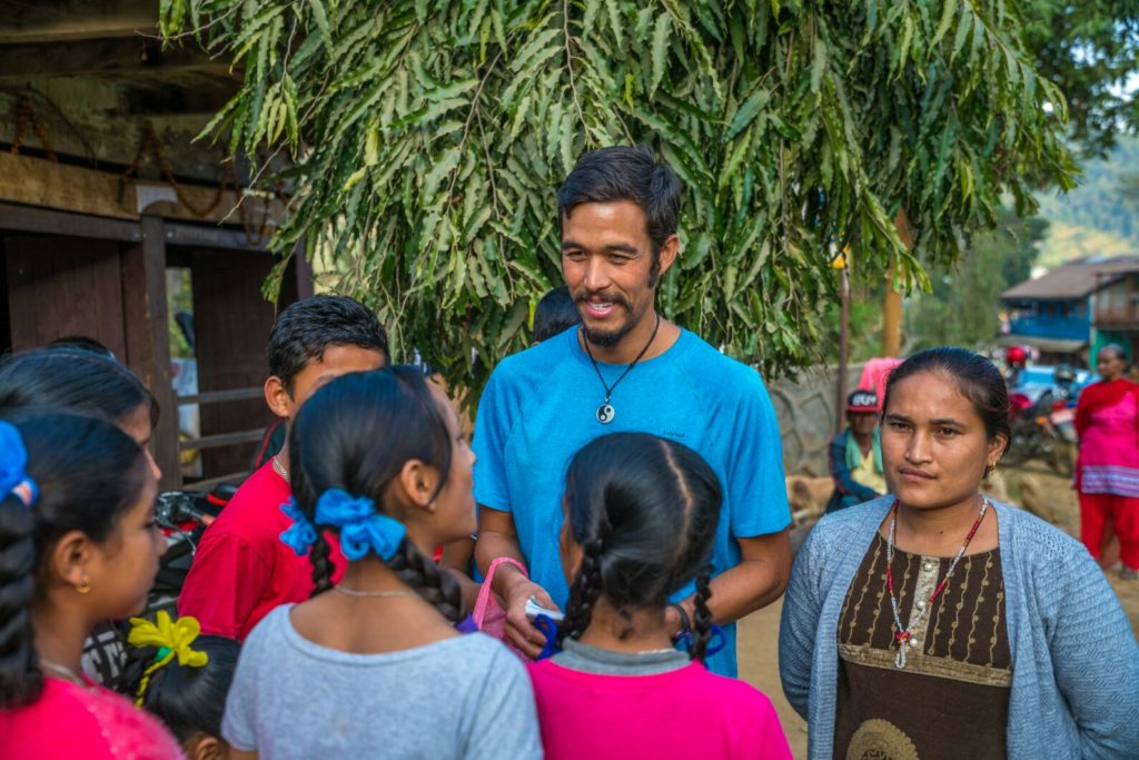
Chatting with some of my students in Shishaghat, Nepal.

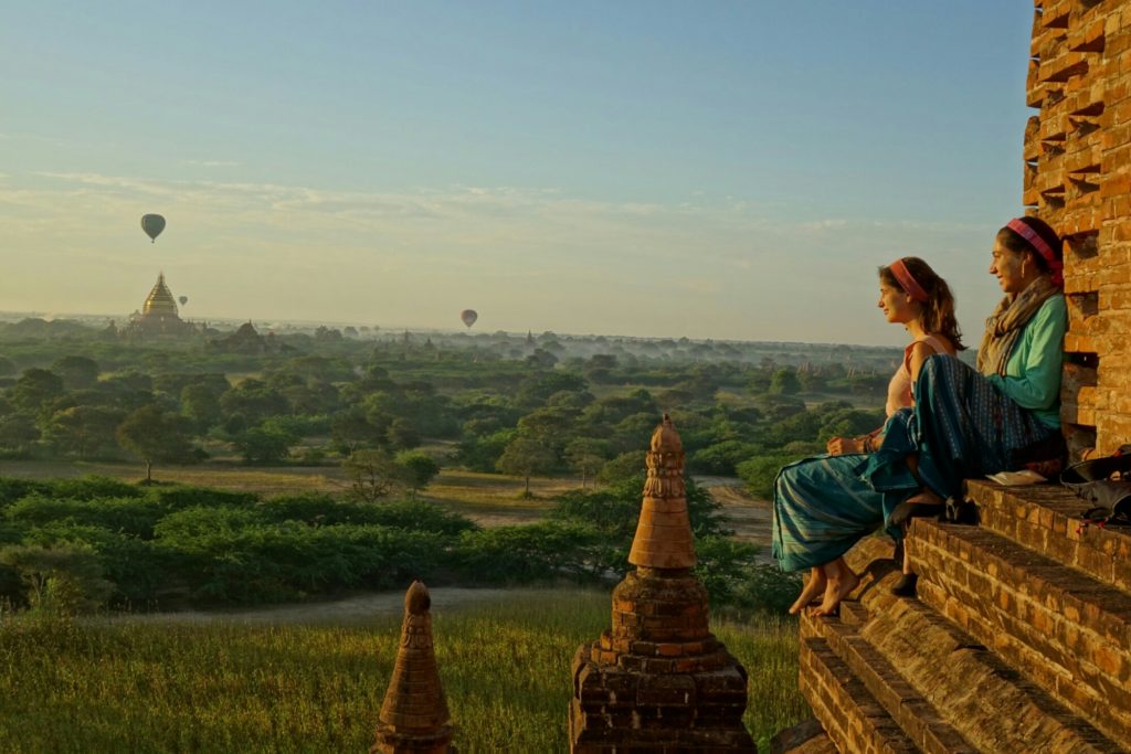
Enjoying sunrise over Bagan with new friends, Myanmar,

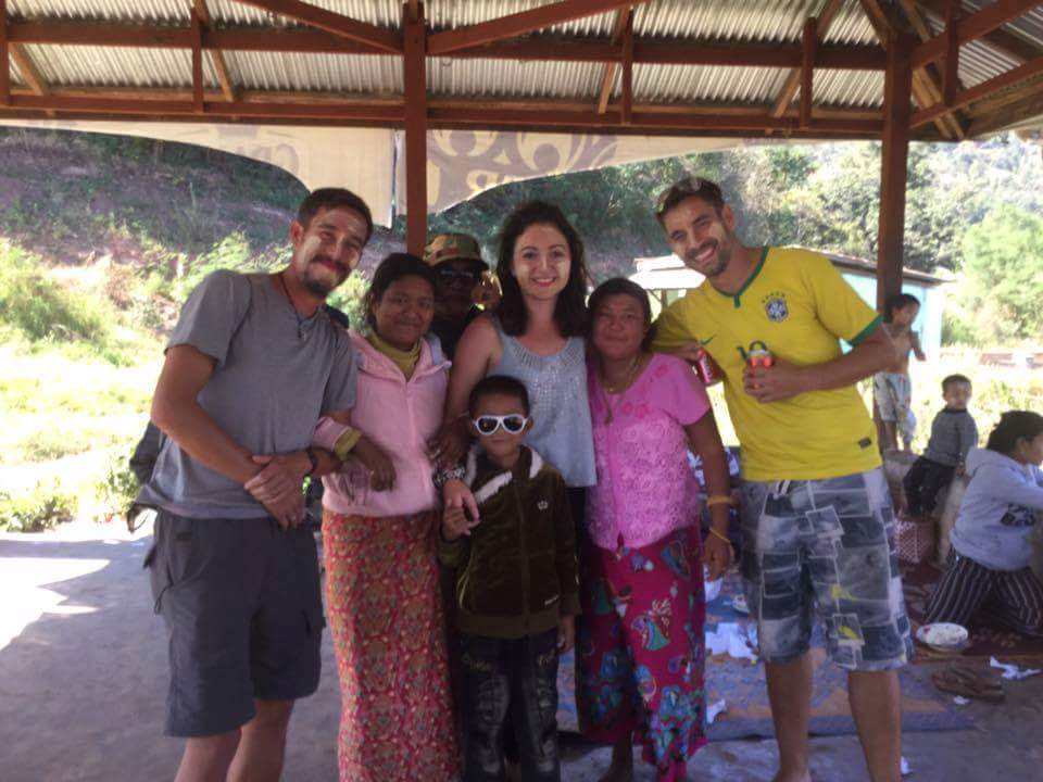
Making new friends, both fellow travelers and local. Inle Lake, Myanmar.m

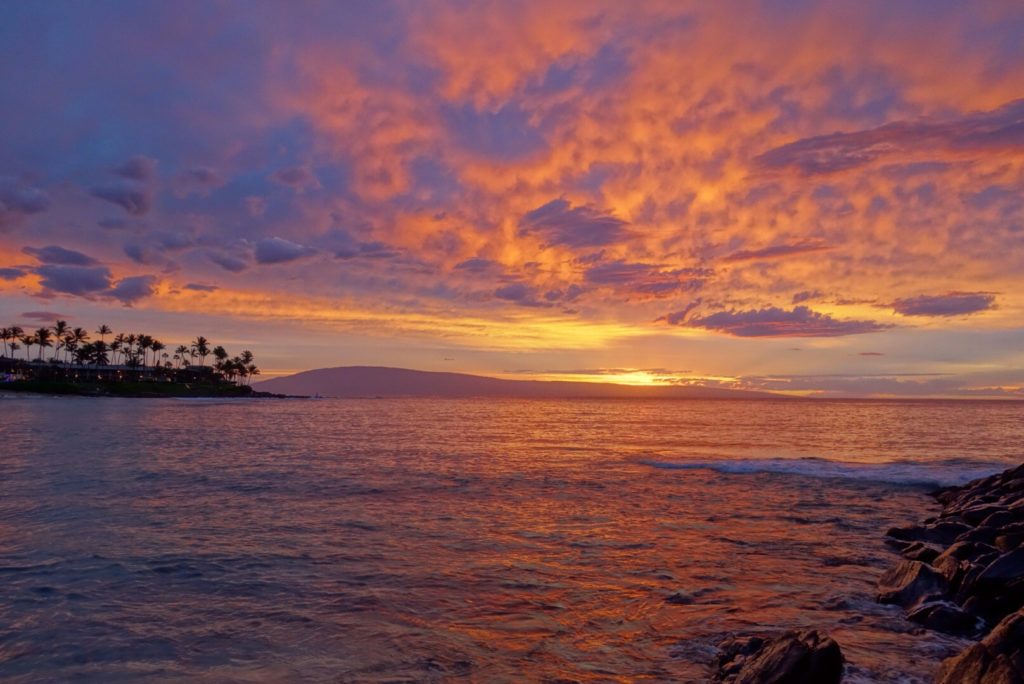
Epic sunsets from Napili beach on Maui. It had been almost 10years, way too long.

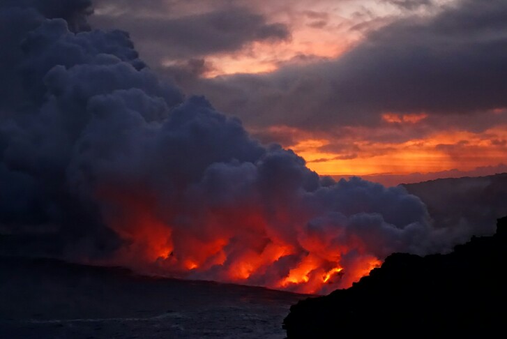
Lava flowing into the ocean in Volcanoes National Park, Hawaii.

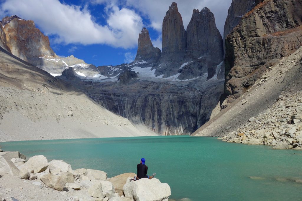
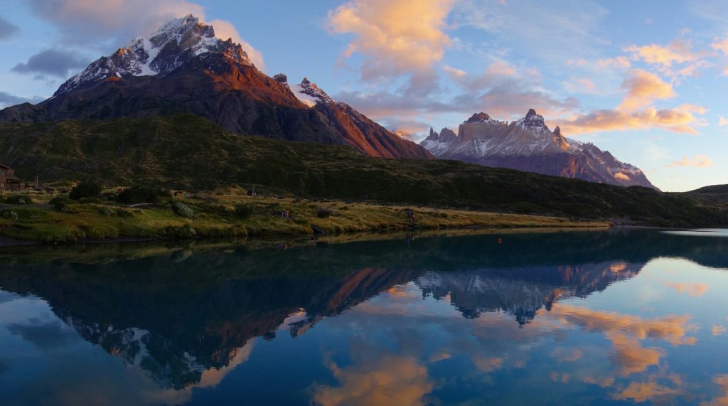
Marveling at the Torres, in Torres del Paine Nacional Parque, Chile.

Running around the trails of Tierra del Fuego and Ushuaia, Argentina.

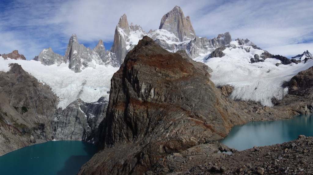
A week of trail running with Fitz Roy as the backdrop, not so bad. El Chalten, Argentina.

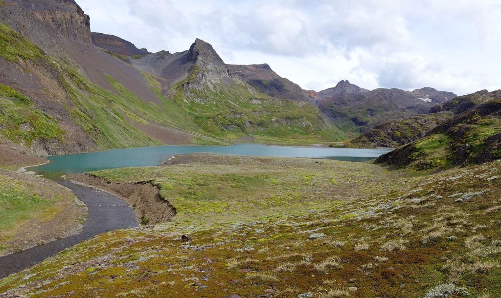
Sunrise over Paine Grande town, pinch me, because this can’t be real…. Torres del Paine, Chile.

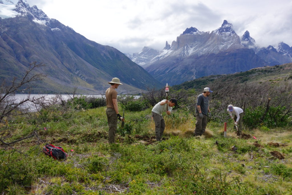
Digging in the dirt and building trails in Torres del Paine with new friends, Chile.

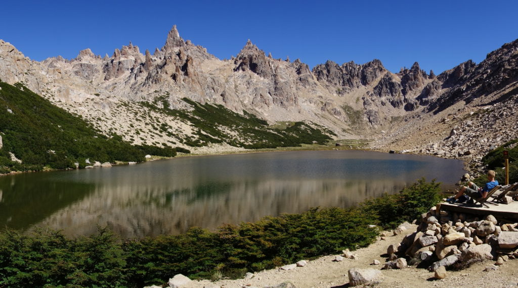
Taking a moment to relax in the mountains outside Bariloche, Argentina.

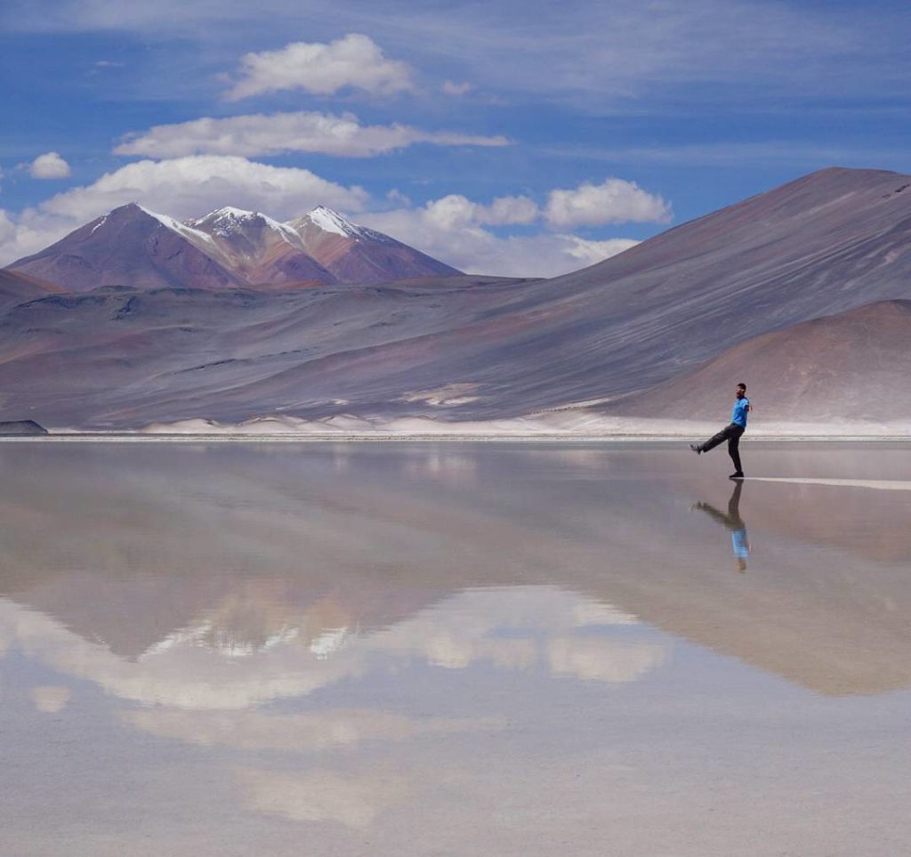
Playing around in the salt flats of the Atacama desert, Chile.

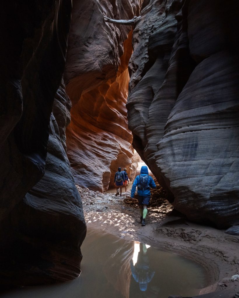
Buckskin Gulch exploration, Utah desert.

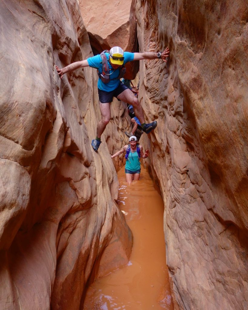
Scrambling around Ding and Dang canyon with Ely and Kaytlyn, Utah desert.

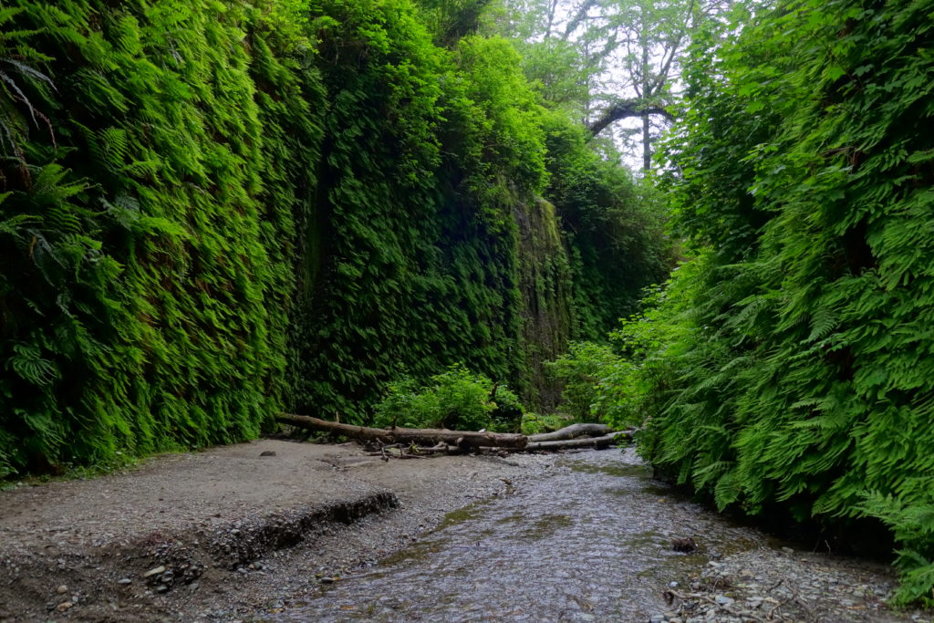
Running around Redwood NP, finishing in the amazing Fern Canyon, California.

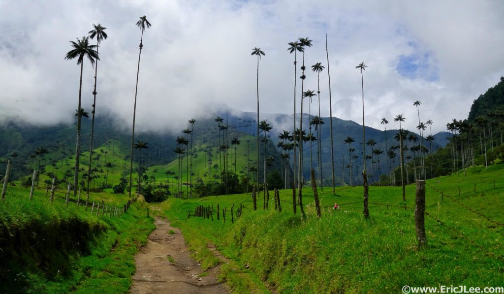
Romping around the wax palms in the Valle de Cocora. Salento, Colombia.

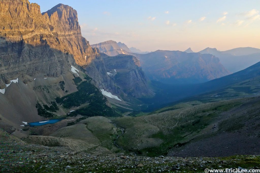
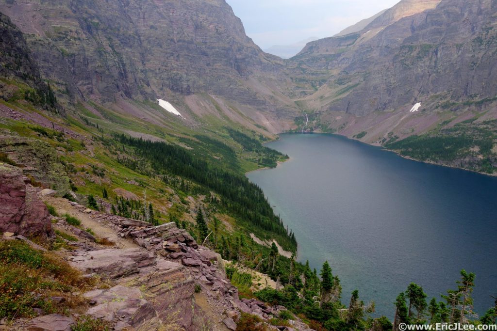
Looking down the North side of Piegan Pass, this place is pretty awesome. Glacier National Park, Montana.

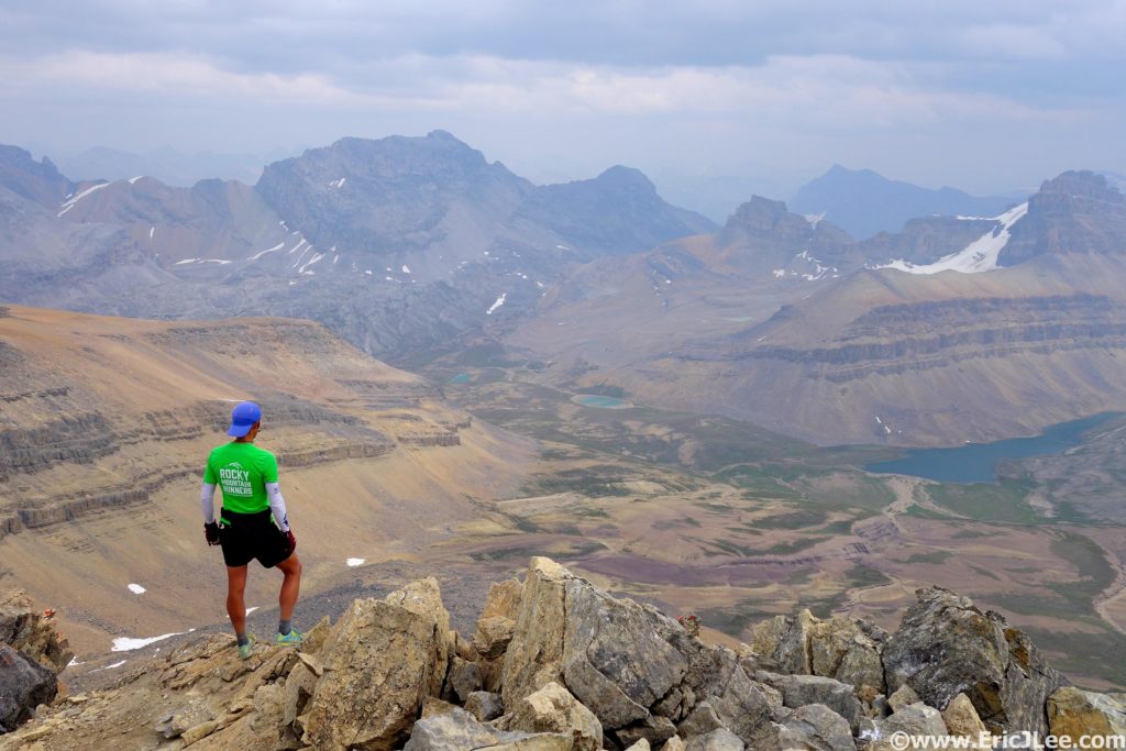
Summit of Cirque Peak in the Canadian Rockies, Banff NP.

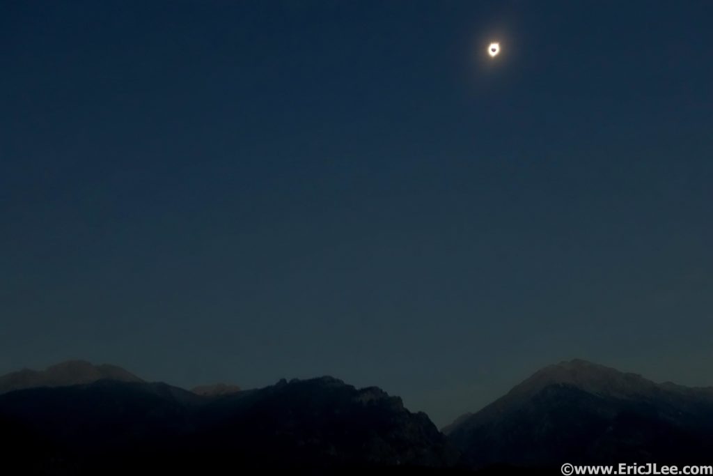
North American total eclipse 2017 from Borah Peak, Idaho.

Good to be back home for the regular Rocky Mountain Runners Monday run up Green Mountain, Boulder, CO. Photo courtesy of Guy Love.

Grand Glacier National Park Loop

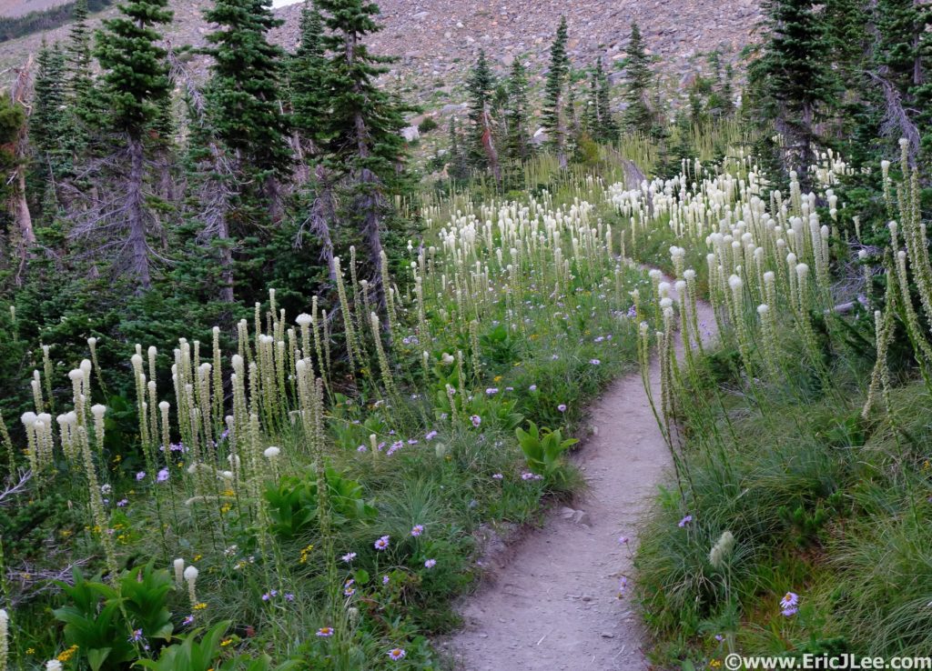
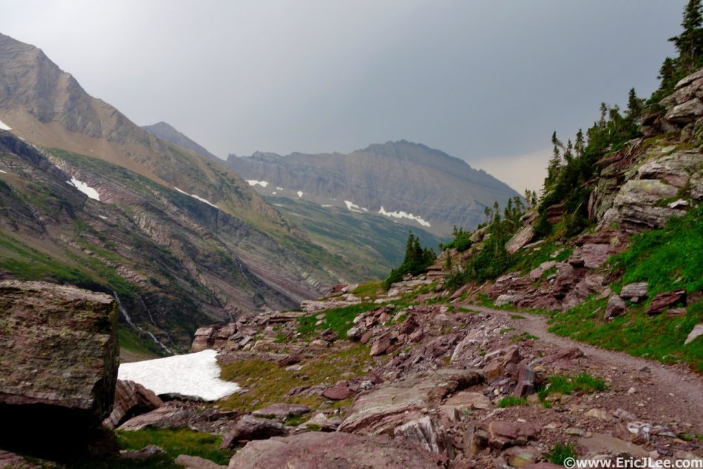
Field of Bear Grass on the way up Piegan Pass.

My eyes darted left, then right, nervously responding to every sound I heard in the underbrush. I was only 2miles into my 50mile+ loop around Glacier but I’d been following a set of fresh bear prints for almost a mile through dense foliage. This is how my adventure started, thankfully Mr Bear decided to wander off elsewhere and the concerns were never realized.

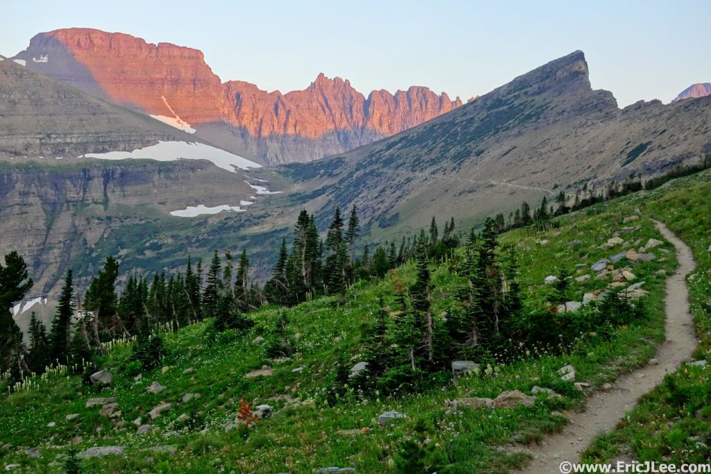
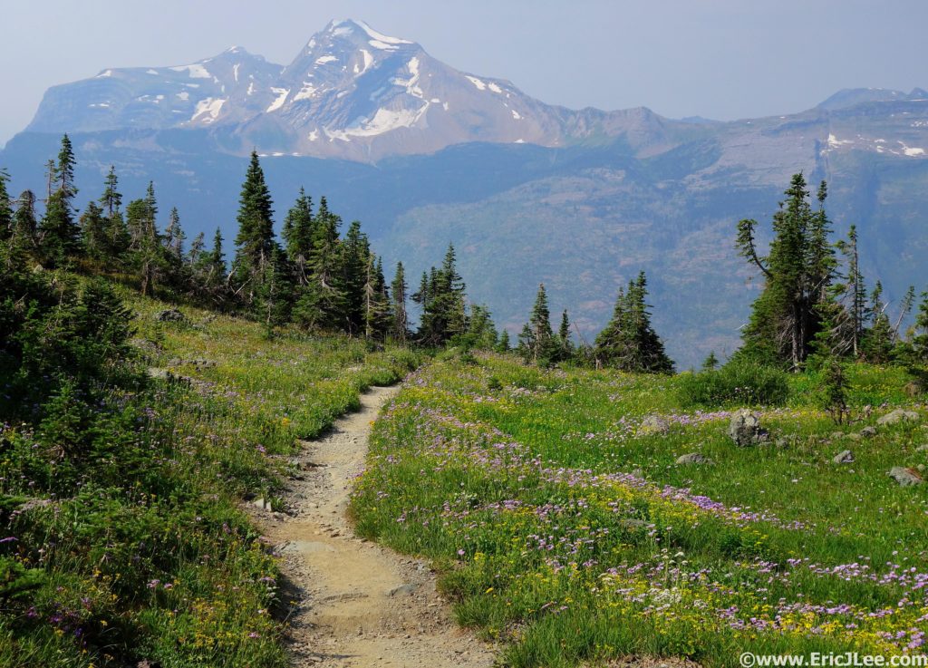
Approaching Piegan Pass from the South.

When I first looked at the map of Glacier National Park I had trouble conceiving of a loop that showcased the central mountains and glaciers. I came up with several point to points (Highline Logan Pass to Canada, East to West to East) but couldn’t figure out a logical loop that really touched on most of what makes Glacier so amazing. One day while thumbing through backpacking trip reports I happened across a report talking about the often traveled ‘Floral Park traverse’, ah ha! This 9.5mile off-trail route connected Hidden Lake with Comeau Pass providing the missing link I’d been looking for, now all I needed was the time and energy to run 50miles in the mountains.

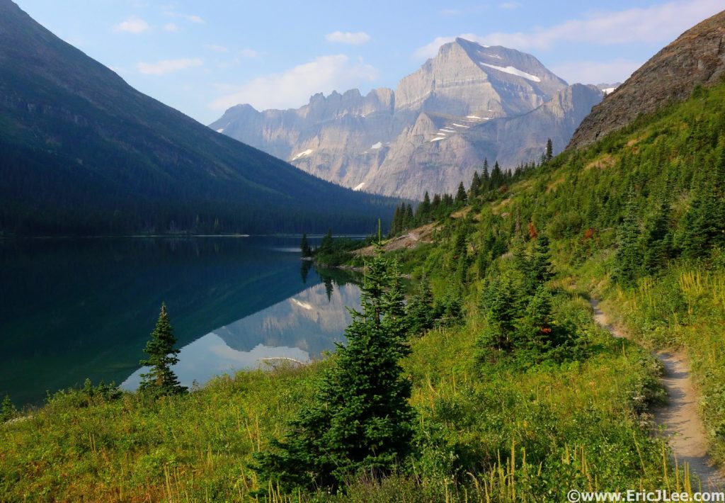
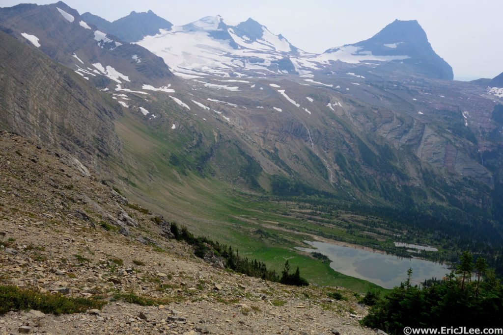
Looking down the North side of Piegan Pass, this place is pretty awesome.

I awoke at 330am on Monday August 8th, immediately hopped in the car and began the 1.5h drive to the Jackson Overlook along Going-to-the-Sun Road. I left the road at 5:40am thrashing my way through the brush toward Piegan Pass. After unnervingly following some fresh grizzly prints for a little over a mile, the terrain finally opened up and I settled in to simply enjoying the beauty. The smokey rays of sunrise glowed orange on the surrounding mountains and a gentle breeze blew over the pass. As I crested Piegan Pass I was stopped dead in my tracks, a sheer 1000ft wall guarded the left side of the valley, green flower filled meadows (and the trail) arced down the right side, while turquoise lakes dotted the valley floor as waterfalls tumbled off cliffs in between, it was gonna be a good day. The trail down the North side of Piegan Pass can only be described as euphoric, beautifully swooping switchbacks through some of the most stunning scenery I’ve had a chance to lay eyes on. I cruised on past Grinnell Lake, around the West shore of Josephine Lake (following more bear tracks) and finally reached the Swiftcurrent Lake TH (13mi, 3:15), refilled my water and jogged on down the road to the Swiftcurrent Pass trail.

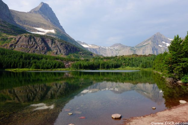
Looking back across Josephine Lake near the Swiftcurrent TH.

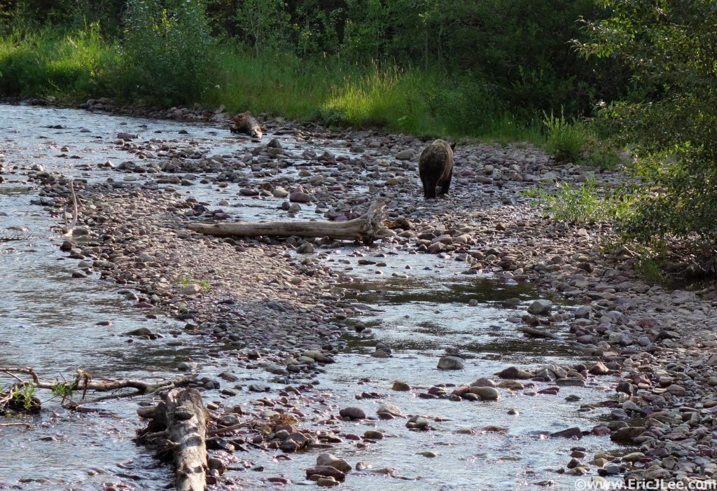
The rear end of a grizzly near the Swiftcurrent TH, thankfully as close as I got to one.

Half a mile down the trail I came across a large group of people standing on the bridge across Wilbur Creek, and was a bit surprised to see them all gawking at a grizzly bear lumbering on up the river. One guy even had a camera in one hand and his uncapped bear spray canister in the other….really people? I left them behind and jogged along the rolling trail up Swiftcurrent creek, past numerous glacial lakes, until I finally reached the end of the valley and looked straight up 2300ft of switchbacks to Swiftcurrent Pass somewhere high above. I zig zagged my way up to the pass (stream about ½ way up) and was greeted by Heaven’s Peak front and center (20.5miles, 5:20). After a brief stop in at the Glacier Chalet it was off on the Highline trail toward Logan Pass. This was the first truly busy section of trail I hit, with constant traffic both directions, but everyone was friendly and most let me jog on past. This undulating section of trail hugs a high traverse along the Garden Wall and is beautifully runnable with fantastic views, deserving of its popularity.

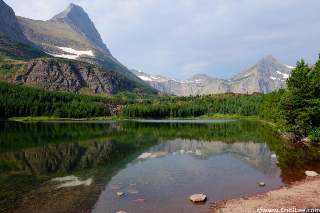
Redrock Lake reflection on the way up Swiftcurrent Pass.

View of Heaven’s Peak from Swiftcurrent Pass.

Running the Highline trail toward Haystack Butte.

At last I popped out on the Going-to-the-Sun road at Logan Pass (30mi, 7:15), shnikies! I was back in the throngs, hundreds of people milling about, road jammed with cars, shuttles running up and down both sides of the pass, eek. I quickly filled my water and slowly staggered my way up the hill toward Hidden Lake. The miles were starting to wear on me and it was warm enough to slow my pace. I cruised back down to Hidden Lake, forded the outlet stream, and began the off-trail adventure of connecting Hidden Lake and Comeau Pass. The initial section around the lake is on a lovely use trail, then from the peninsula in the middle of the lake I struck up the hill on a diagonal traverse around Bearhat Mt. Start by going up a small talus field, then onto upward trending grassy benches to around 7000ft, which pops you out in the basin SE of Bearhat Mountain. For more specifics on the traverse, see this link. The climb up and over the saddle to Floral Park was steep energy sucking grass on the ascent and rubbly gravel and scree on the descent, yuck.

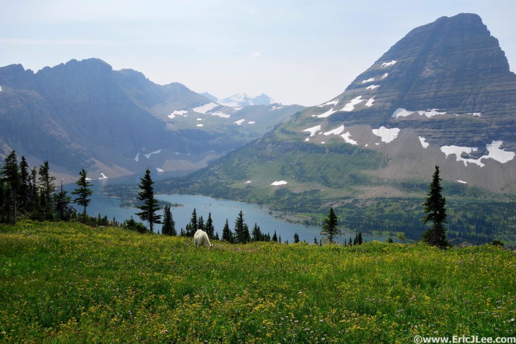
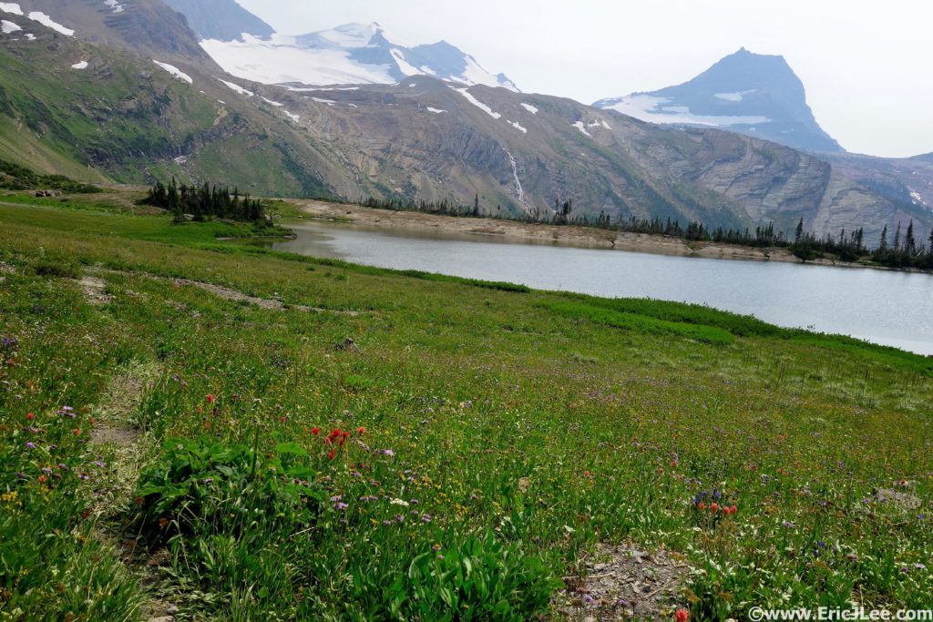
Hidden Lake, the far ridge drops into Floral Park, the peak in the far far distance is the Sperry Glacier.

Looking down into Floral Park with the Sperry Glacier in the background, let the fun begin.

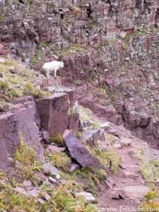
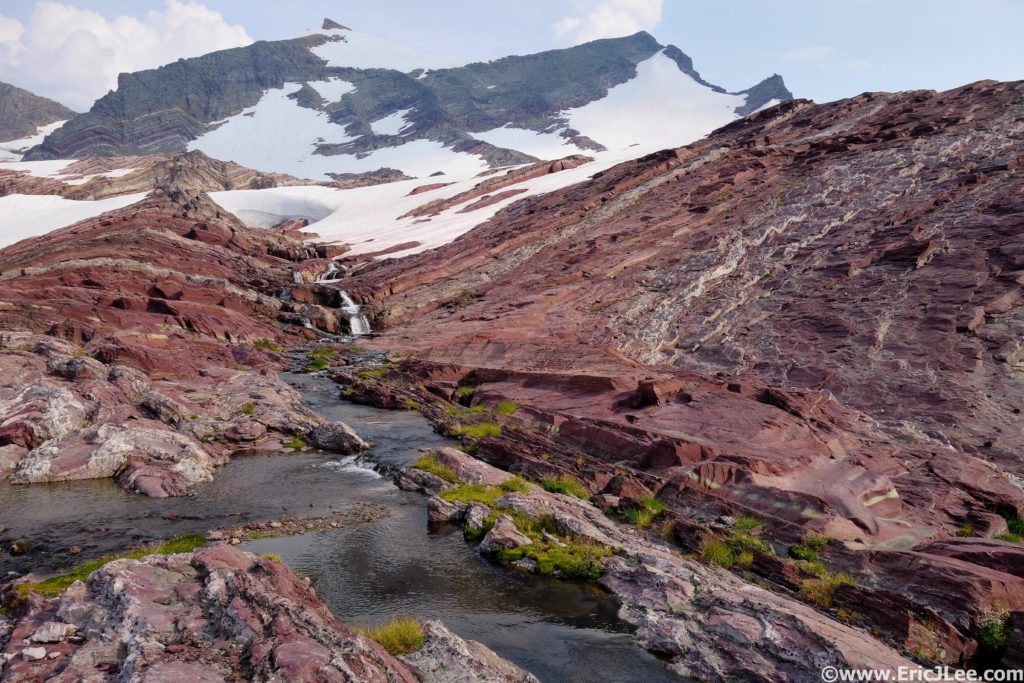
Soon I found myself in Floral Park skirting the flower lined shores of Mary Baker Lake (36mi, 10:00) and traversing the steep grass upwards into the Sperry Glacier basin. As I crested the moraine into Sperry basin a mine field of snow, glacial lakes and rock ribs introduced itself to me. I took a high line, picking my way over rocky ridges, hopping glacial melt streams, traversing around turquoise blue lakes and kicking steps up the occasional snow field, finally reaching the ‘red wall of doom’, a nice moderate slab of reddish rock on the far South side of Sperry basin that climbed up to Comeau Pass. I kicked the final snowy steps up to Comeau Pass (39.5mi, 11:45) and was greeted by a pair of goats and the steep valley dropping down Sprague Creek.

Crossing Floral Park, hang a left and up into Sperry Basin.

Almost out of Sperry Basin, just gotta climb the red slab to the right.

In my tired delirium I thought the uphill was over for the day until a quick glance at the map showed two 1000ft climbs over Lincoln Peak then Gunsight Pass…argh. So I hammered down to the Sperry Chalet, past Akaiyan Falls to the junction with the Gunsight trail….12.5miles to go!!! Son of a, not what I was expecting. Again, slightly demoralized I took a moment to readjusted my head space and hammer through the first climb to Lincoln Peak, jogged my way around the beautiful Lake Ellen Wilson and up into the thunderstorm brewing on Gunsight Pass (46.5mi, 13:50). I topped out on the final final climb of the day to what I thought was distant thunder, only to see that a dark mass of heavy rain and electrical activity was dropping into the valley right in front of me, well shit. I started running, then realized the trail wasn’t descending! I traverse a high line for about a half a mile as the rain began to fall and lightning lit up the far side of the valley. At last the trail began to descend, and I pushed downward, thankfully while the thunderstorm tracked down valley at a faster rate than I. Finally I arrived at Gunsight Lake, just a little damp, but no worse for the wear (49mi, 14:20). The final 6miles seemed to drag on forever, as the trail rolled up and down through dense underbrush. As the evening light faded away, I startled a large animal (not sure what) that went crashing off through the brush. I spent the final 45min of the day talking to myself, narrating my every action, in order to comfort myself into thinking I wouldn’t get eaten by a grizzly. At last I climbed the last few feet back to the Going-to-the-Sun road sat down on the rock behind my car and breathed a sigh of relief.

Running my way around Lake Ellen Wilson toward Gunsight Pass.

Cresting Gunsight Pass right into a storm really gets the adrenaline flowing.

I had finished the Grand Glacier Loop in 15:50, after 55miles and 13400ft of vertical gain. It had been far from easy, but I felt immensely satisfied that I’d not been eaten by a grizzly and had seen/experienced/run through some of the most beautiful terrain our country has to offer. As I changed clothes and packed my stuff into the car, a light rain began to fall. During the drive back to my friend’s place over Logan Pass the light rain turned into a downpour and lightning flashed all around, I’d dodged a bullet for sure. For those interested in taking a crack at this massive loop, I’d say make sure you’re truly fit with lots of backcountry experience. It’s got diverse landscapes like the Zion Traverse, waterfalls second only to Yosemite, the sense of smallness offered up by the Grand Canyon R2R2R, but with a tough off-trail section thrown in for good measure. If you don’t feel up for the whole shebang in one go, not to fear, the park offers free shuttles that help you break it into three more manageable pieces; Jackson Overlook to Swiftcurrent (13mi), Swiftcurrent to Logan Pass (17mi), and Logan Pass to Jackson Overlook (25mi). Each segment offers up a beautiful view into what makes Glacier National Park so special, though obviously there is infinitely more out there waiting to be explored. Special thanks to the NPS for maintaining such an amazing place, and keeping up the trails, most of which were in phenomenal shape, to Vfuel for powering me through such long unsupported idiotic endeavors and to the PLT for giving me a full year off 😉

Gear List

Salomon S-Lab 12, OR Helium II jacket, Patagonia Strider shorts, tech T, arm warmers, long sleeve shirt, running hat, buff, fleece gloves, sun glasses, bear spray, inhaler, 1st aid, hand warmers, 6 chlorine tablets, space blanket, trail map, SPOT locator, Fenix E11, Black Diamond Iota headlamp, 3400calories, 1.5L of water capacity (usually only carried 1/2L). Note that you may need more or less than me, but this is the list of items I’ve worked out that I need/want to sustain myself for unsupported adventures of this length.

My pack and gear carried for 16hours of unsupported runningl

Seeking Silence Amongst Giants

Having grown up in California the redwoods have always held a special place in my heart. If you’ve ever talked to me about California you’ve probably heard me profess “I miss big trees” (usually referring to the redwoods). So you can imagine my excitement when an opportunity arose to visit Redwood NP in late May 2017.

Redwood National Park was created in 1968, encompassing four smaller parks; Prairie Creek SP, Redwood SP, Del Norte SP and Jeddiah Smith SP, in order to preserve the immense redwood forests of far Northern California. There are two types of redwoods, Sequoia sepervinum (coastal) and the Sequoia gigantia (Sierra foothills, Yosemite & Sequoia NP), both only grow in a narrow band of land in California. The semp. are the tallest trees in the world (up to 380ft tall), while the gigan. are amongst the largest (up to 100ft around), both living thousands of years. Logging threatened to destroy these gentle giants, but thankfully they are now largely preserved for all to appreciate.

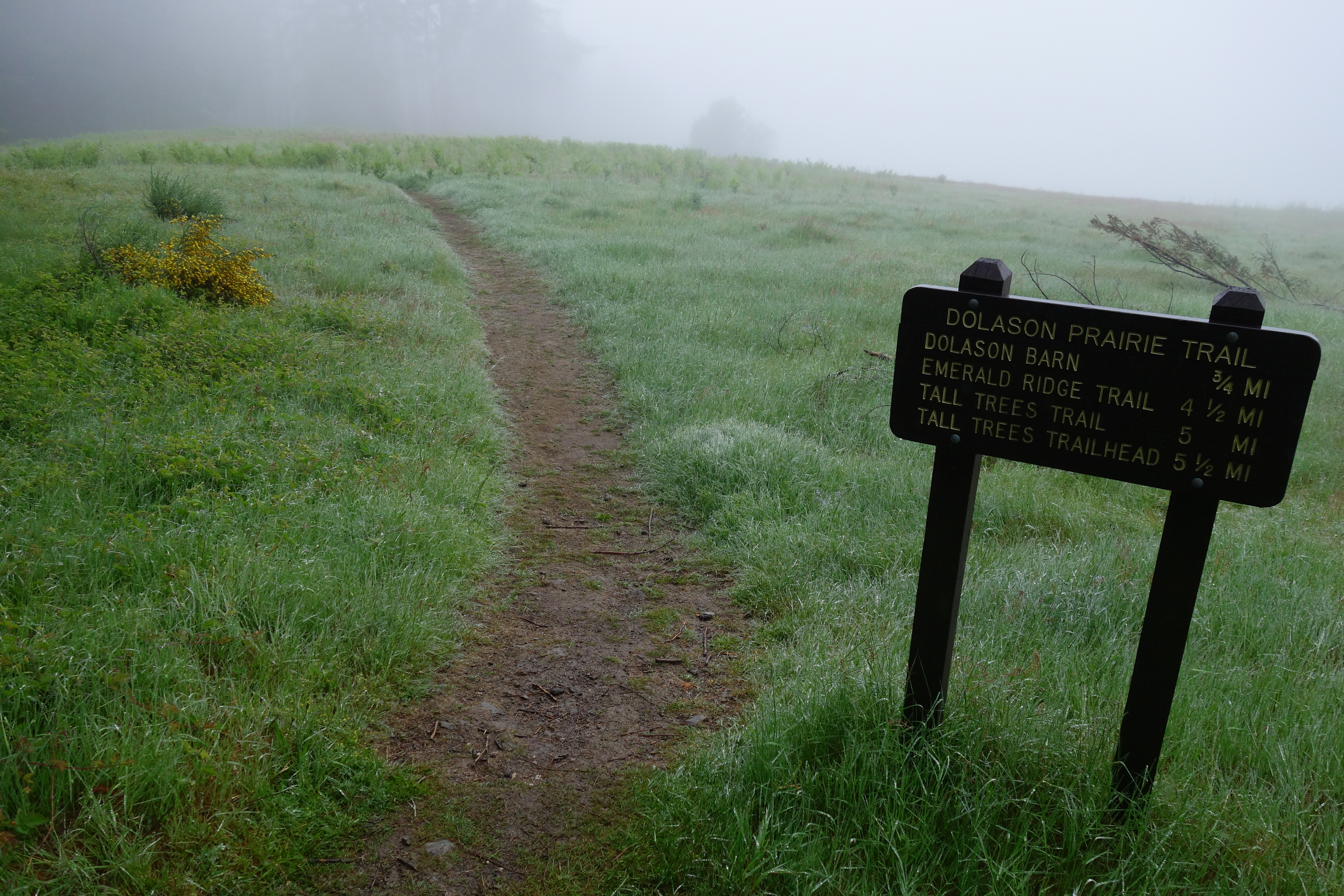
After a soggy night of camping in Prarie Creek SP my mom dropped me at the Dolason prarie th in a thick fog, appropriate. I cruised down, alternating between open prarie and second growth redwood forest, until I finally reached the Big Trees loop. Here, somewhere along the upper reaches of redwood creek, stands the tallest tree in the world (376ft), and it’s not alone. This was my first taste of the lush old growth redwood forest, silent, majestic and awe inspiring. Then came obstacle #1, a early season ford of redwood creek (summer time there is a bridge). When they say creek, they mean 2-3ft deep, 30ft across and moving. Thankfully it went without issue and off down stream I jogged.

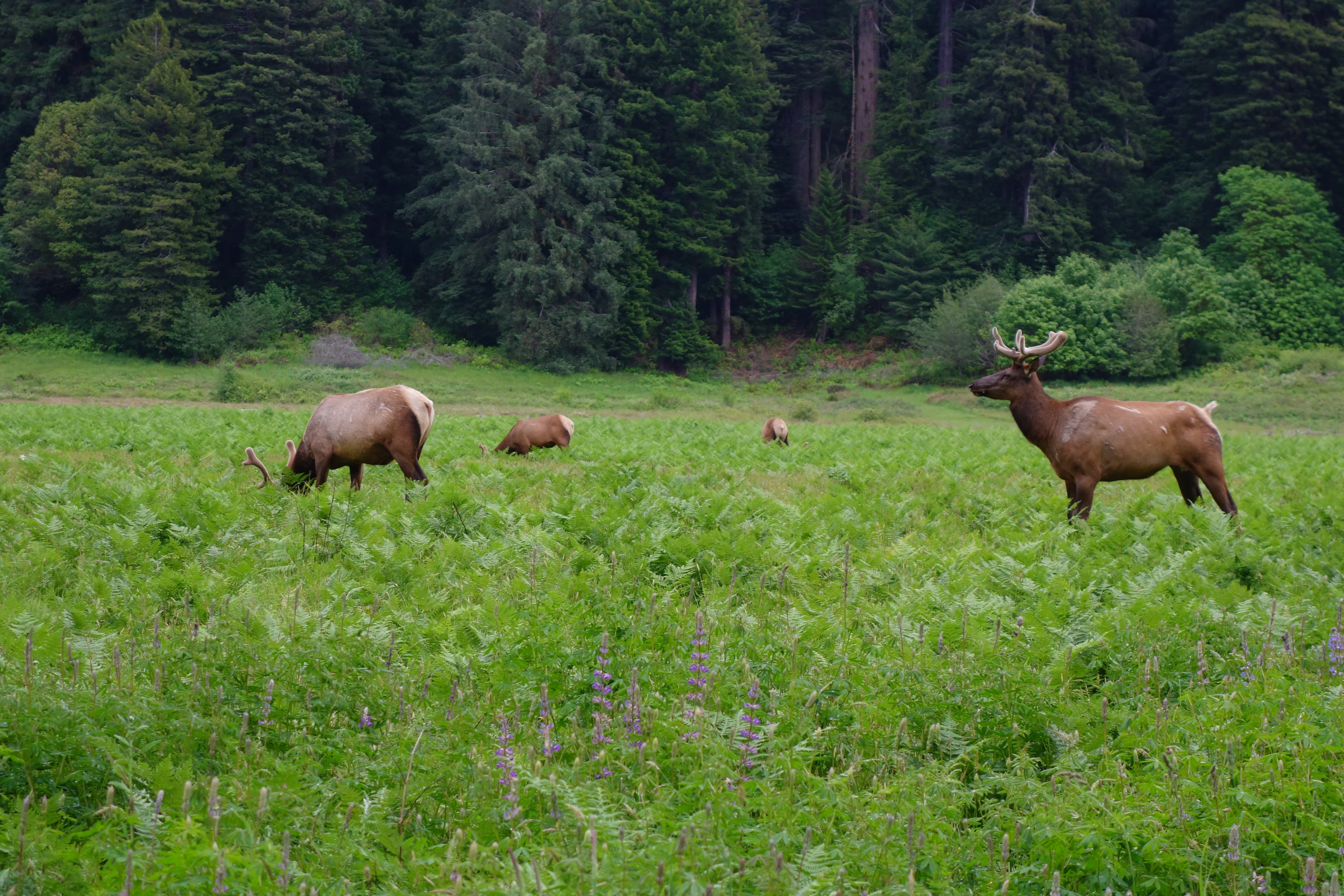
The trail along redwood creek is not heavily used and a little over grown, but a mostly runnable peaceful stretch of soft dirt along the creek. After another attention grabbing ford of the creek I jogged on through the parking lot and up a few miles of the douche grade Bald Hills road to the Lady Bird Johnson grove. The descent down the Berry Glenn trail was my favorite part of the run, smooth single track through lush towering old growth redwoods in complete silence. The next section along the Davidson/Elk Prarie/cathedral trails paralleled the road connecting two sections of the park, mellow and easy, past open meadows filled with Roosevelt Elk just lounging around.
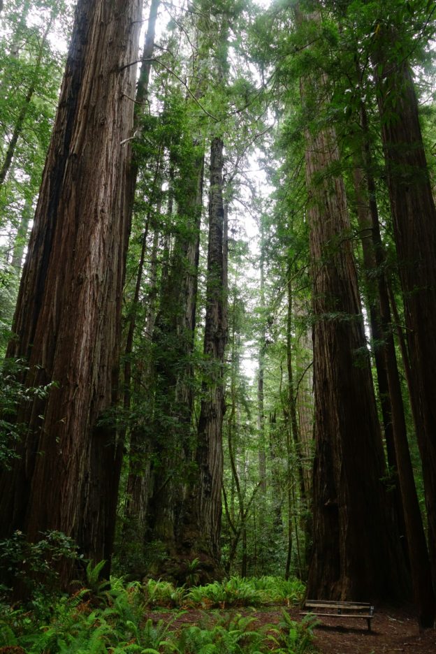
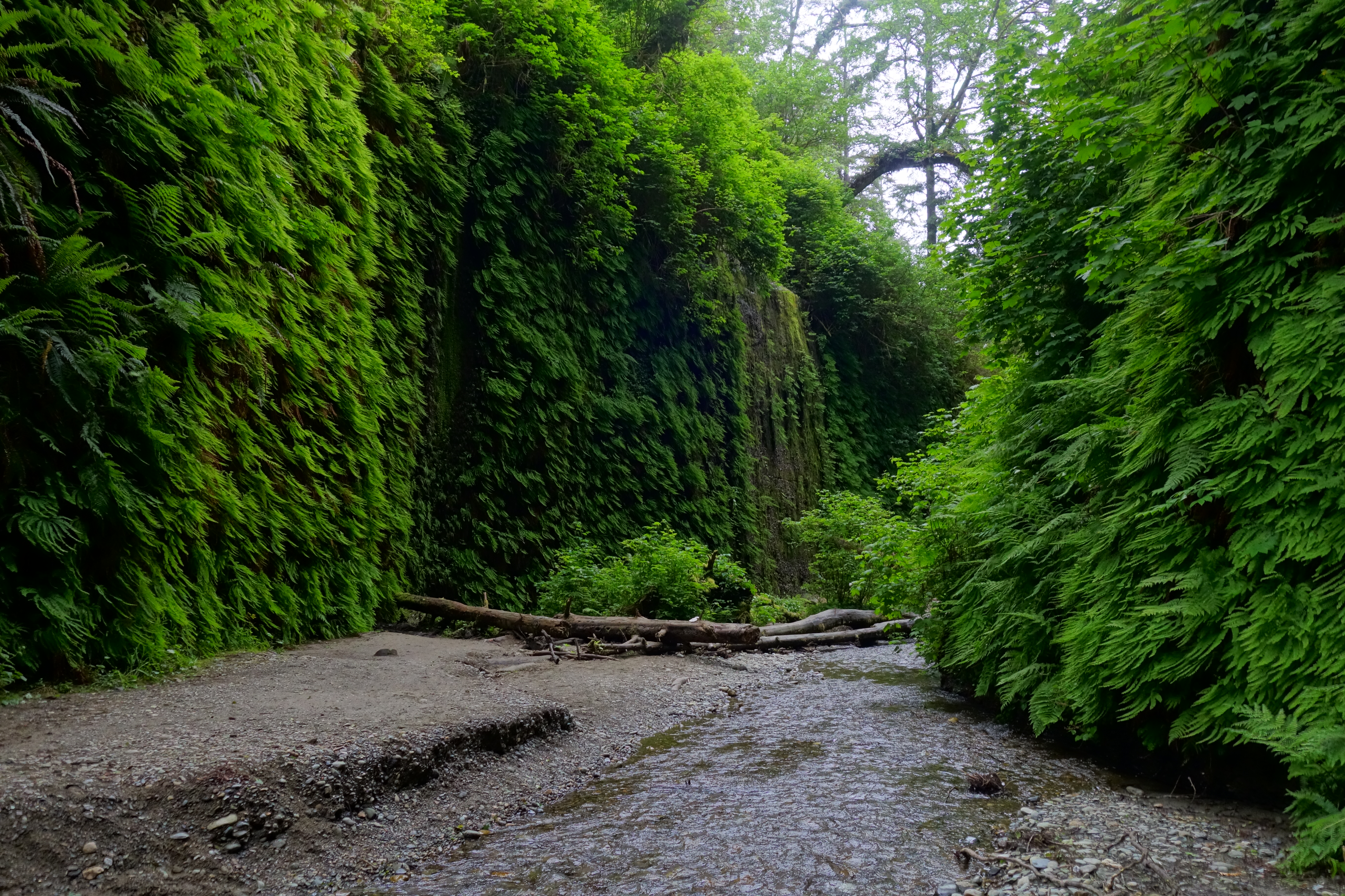
I finally reentered the old growth forest, towering trees all around, a lush mat of ferns in the under story, past Big Tree (1500 years old), looping around the Prairie Creek trail and back to the James Irvine/Miners Ridge trails. As I climbed up the James Irvine trail I quickly left the road and crowds behind, again ascending into the solitude of the redwoods. I had originally intended to finish with the James Irvine into Fern Canyon, but was informed the road access was closed (it reopened that afternoon), so instead followed the undulating Miners Ridge trail down to Gold Bluffs beach. The day ended by throwing a rock into the ocean, source to sea across Redwood National Park had been a beautifully tranquil success, meeting my mother on the beach. Since my mother discovered they’d reopened Fern Canyon that day, we took a short side trip. Wow, wow, if elves and fairies were to live somewhere, Fern Canyon is the place. The canyons 20-30ft vertical walls are covered by a smooth carpet of ferns, giving the canyon an otherworldly isolated feel.

While I’ve had the good fortune to run in some amazing places, the run across Redwood National Park is at the top off the list for peace and tranquility. For me, running duff covered single track beneath the towering redwoods surrounded by a lush carpet of ferns and greenery sets my mind at ease. Of course if 34 miles isn’t your style, the Berry Glenn, James Irvine and Miners Ridge trails make for fantastic short runs, and the hike into Fern Canyon is worth the detour. For those who have never experienced a redwood forest, more accessible areas can be found at Muir Woods, Redwood regional park and Humboldt Redwood SP (includes an amazing 25mi road ride/drive). These towering giants have been around longer than any of us, and hopefully will outlive all of us as well. A visit to the redwoods always provides me with a little perspective. Thanks to vfuel for fueling my ongoing stupidity and my mom for sharing in the adventure and shuttling me around so I could run this point to point route.

The Desert Bites Back; Guadalupe Mountains Ultras

The neat thing about my National Park Ultramarathon project is it’s taking me to places that I normally wouldn’t think about visiting. Example, the Guadalupe Mountains of Southern New Mexico/Northwestern Texas. The Guadalupes aren’t your typical towering mountain range with distinct peaks rising above the surroundings; rather they consist of an uplifted inland reef (Capitan Reef) with deep canyons carving down through the ancient sea floor. The area is split into two parks, one being the Guadalupe Mountains National Park (in Texas) the other, and better known, being Carlsbad Caverns National Park. Over 200 million years ago the area that makes up these two parks was a vast inland sea. Then the inlet to this sea (the current mountain range) was cutoff and the sea slowly dried up, in the process covering the area in layer upon layer of mineral deposits. The continued uplift exposed these mineral and fossil layers in what is now the Capitan Reef of Guadalupe Mountains National Park, and the power of slowly percolating water carved out vast caverns underground creating the massive labyrinth that is Carlsbad Caverns.

Sunrise on Guadalupe Peak from the Tejas Trail.

Sunrise on Guadalupe Peak from the Tejas Trail.

Descending the Bush Mt trail toward Dog Canyon. Not much of a trail.

Descending the Bush Mt trail toward Dog Canyon. Not much of a trail.

I first set my sights on a 37mile lollipop in Guadalupe Mountains National Park (5/8). One of the local rangers told me “the magnificence of the Chihuahuan desert lies in its subtlties”, and I couldn’t agree more. As I climbed up the Tejas Trail from the Pine Springs trailhead the sun slowly began to illuminate the surrounding walls and the birds began to awake to greet the day. I ascended 2500ft of switchbacks out of the low arid desert and into the high altitude juniper and pine forest (<8000ft). The trail slowly disintegrated from a wide horse trail into an overgrown sparsely used foot path (Bush Trail) as I crested Bush Mountain (the high point of the day 8631ft, mm6.2, 1:45). The trail undulated along the high ridge through the pine and oak forest, before descending steeply down through an old burn zone to the meadows surrounding the old ranch settlement of Cox Tanks. Blooming cacti and an assortment of wildflowers dotted the desert terrain as I cruised down to the Dog Canyon TH, my only water resupply for the day (mm16, 3:50). The TH was completely empty except one couple and their RV. I doused myself at the water spigot, refilled all my water bottles (2.5L) and jogged back up the Tejas Trail toward Lost Peak.

Dog Canyon TH, refreshed and ready to roll another 21miles.

Dog Canyon TH, refreshed and ready to roll another 21miles.

Wildflowers blooming in an old burn zone along the Tejas Trail.

Wildflowers blooming in an old burn zone along the Tejas Trail.

As I jogged up the canyon the midday sun had begun to bake the open grasslands. I ran into a couple of volunteers who were in the process of clearing the trail, cutting back brush and moving rocks. They mentioned I’d run into more overgrown trail about 1.5miles ahead, as the park didn’t have the resources to clear everything just yet, an unfortunate, but all too common issue within the National Park system due to budget cuts. As I neared Lost Peak the trail became a little rougher, but was far better than the Bush Mountain trail I’d run in the morning. From the summit of Lost Peak (4:50) I had a nice view of the surrounding landscape, an endlessly undulating high plateau strewn with pines, junipers, oak trees and cacti. I cruised along the high ridge dotted with Indian Paintbrush and blooming prickly pear cacti until the junction with the Blue Ridge Trail (mm21.8, 5:20) where the trail descended deep into the pine forests. I hadn’t seen anyone else since the Dog Canyon TH, and was enjoying the trail solitude as I turned up onto the Juniper trail and steeply climbed my way up to the old water tanks at the top of Bear Canyon.

Indian Paintbrush blooming in the desert.

Indian Paintbrush blooming in the desert.

Looking down Bear Canyon at the valley over 2000ft below.

Looking down Bear Canyon at the valley over 2000ft below.

Summit of Guadalupe Peak, high point of Texas.

Summit of Guadalupe Peak, high point of Texas.

El Capitan of the Guadalupes from above.

El Capitan of the Guadalupes from above.

The view abruptly opened, and I was staring down on the Frijole trail 2000ft below. The descent was rocky, but runnable the whole way, and the temperature quickly climbed from the comfortable 60s into the low 80s. I reached my car in the Pine Springs parking lot a bit cooked (mm29, 7:20), but after a quick refill I felt like I was ready to tackle the 3000ft climb up to Guadalupe Peak (the Texas high-point). The trail climbed steeply at first then mellowed a bit more as it traversed into the trees. The heat and sun were definitely getting to me, and I had to take several breaks to cool off in the little bits of shade I could find. The final push from the saddle to the summit seemed to drag on forever, but I finally stumbled my way up to the summit pinnacle and plopped down for a breather (mm33mi, 9:20). Views were expansive, the vast Chihuahuan desert to the South and East, the rolling ridgelines of the Guadalupes to the North and the vertical cliffs of El Capitan (Texas, not CA) directly below. The jog down was a bit painful as I was pretty dehydrated and cooked from the day, but I finally reached the trailhead and sprawled out on the ground, 37mi and 10h and 25min after starting.

Descending into Slaughter Cave on a Ranger guided tour.

Descending into Slaughter Cave on a Ranger guided tour.

Formations in Slaughter Cave.

Formations in Slaughter Cave.

Day two (5/9) in the Guadalupes found me descending deep into Slaughter Cave in Carlsbad Cavern National Park. This 4h, $15 Ranger Guided tour of the cave was a fantastic way to learn about the history, geology and to see some of the phenomenal formations up close. Day three (5/10) I got a little more than I bargained for, my supposed 25-ish mile run of the Yucca trail-Guadalupe Ridge trail-Slaughter Canyon trail reminded me how cruel the desert can be. All are listed as ‘unmaintained trails’ but I figured how bad could they be? As I climbed up Yucca canyon the trail was well established, the ocotillo and cacti were blooming and the temperature was pleasant. But as I crested the high plateau the trail disappeared into the desert scrub, a nasty mixture of yucca, sotol, cats claw, cacti and agave, as I was relegated to navigating cairn to cairn….when I could. After thrashing my way across the high plateau I finally reached what I thought was the junction with the Guadalupe Ridge trail, wrong (mm11, 3:15). After a 1mi detour I reversed course and found the correct road, and was able to jog my way across the Guadalupe Ridge, only to miss two more unmarked turns on my way to the Putnam Cabin (mm15, closer to mm18.5 that day, 4:55). Then it was back to thrashing my way across the ridgeline until I reached a few old trail signs at the junction with the Slaughter Canyon trail, a trail which did not exist outside of a few rock cairns (mm19, mm23 that day, 5:50). I again thrashed my way down the ridge into Slaughter Canyon, legs ripped up from the sotol and cats claw, a few holes in my foot from agave spines that had pierced my shoes. By the time I reached the canyon bottom I no longer cared about dodging the skin ripping plants, and just barreled on through them, finally reaching the trailhead 7h and 17min after starting, and the ‘marathon-ish’ route turned out to be closer to 28.6miles of brutal bushwacking. My legs told the tale as small streams of blood dripped from scratches on my knees and thighs.

Sunrise on the Yucca Canyon trail.

Sunrise on the Yucca Canyon trail.

Follow the cairns, because that's all you got.

Follow the cairns, because that’s all you got.

Useless signs at the Slaughter Canyon turn.

Useless signs at the Slaughter Canyon turn.

Descending back into Slaughter Canyon.

Descending back into Slaughter Canyon.

The ravages of yucca and cats claw, bloody legs.

The ravages of yucca and cats claw, bloody legs.

No time to waste though, as I hopped in my car and booked it over to the Carlsbad Cavern main entrance for a self guided walking tour down into the heart of the main cave system. As I descended into the darkness, the air cooled, light faded away and all the noises of the outside world were cut off. The main cave is lit by artificial lights so no headlamps are needed, but one is nice if one would like to inspect some formations in more detail. As the paved walking path entered “The Big Room” the cave opened into a massive cavern, the size of 14 football fields. Thousands of soda straws and stalactites hung from the ceilings, calcite domes up to 30ft tall rose from the floor and crystal clear pools of water flowed deep into the depths of the earth. The standard walking tour of the cave is around 2.5miles from the surface, but there are several other Ranger Guided options to explore deeper into the cave. Wandering this underground labyrinth is truly mind boggling, especially when you consider that miles of cave passages and even new cave systems are being discovered all the time (like Lechuguilla in 1986). If you visit Carlsbad I highly recommend you take a Ranger Guided tour (minimal charge) and if you visit in the summer time stay around to watch the bats fly out of the cave (up to ½ million).

Entering the main Carlsbad Cavern.

Entering the main Carlsbad Cavern.

The Big Room at Carlsbad Caverns, the size of 14 football fields.

The Big Room at Carlsbad Caverns, the size of 14 football fields.

Soda Straws and other formations in Carlsbad.

Soda Straws and other formations in Carlsbad.

While the Guadalupe Mountains may not wow you from the outset, hang around a little bit and delve into the subtleties of this seemingly arid desert that is full of life. You’ll see mule deer darting through the scrub, lizards bask in the sun and even a rattlesnake or two letting you know how pissed off he/she is (from a distance of course). Prickly pear cacti blooming in brilliant yellow, the spiny ocotillo and their vibrant red tips and dozens of small wildflowers (including paintbrush) hiding amongst the yucca and scrub. If you stop and look a little closer you’ll be amazed what you find both above ground and below. And while the trail systems of the area won’t rival those of Yosemite, Glacier NP or North Cascades, the solitude you’ll find in the desert will provide you a much different experience than the overcrowded trails elsewhere. My only suggestion, wear full leg coverings and be smarter than I. Special thanks to Vfuel for powering me through crazy adventures like these and to the National Park Service for protecting these amazing lands for all to explore.

Walking by moonlight at White Sands National Monument.

Walking by moonlight at White Sands National Monument.