

Sunrise over the San Rafaell Swell in Utah.
Spring time in the Utah desert is a beautiful thing. Cool nights, warm days, lots of sunshine and tons of adventure to be had in the maze of canyons, gorges and rock formations. So of course when several friends invited me on a little road trip, I jumped at the chance. After a brief stop in Moab to play, we were off to Bryce Canyon. The goal was to traverse the park from Rainbow Point to Fairyland Point in one day, approximately 32 miles of trail. Eight years ago several friends and I had tried to complete this route, but had to bail to search for a lost companion (don’t worry, we found her), so a little redemption was in order.
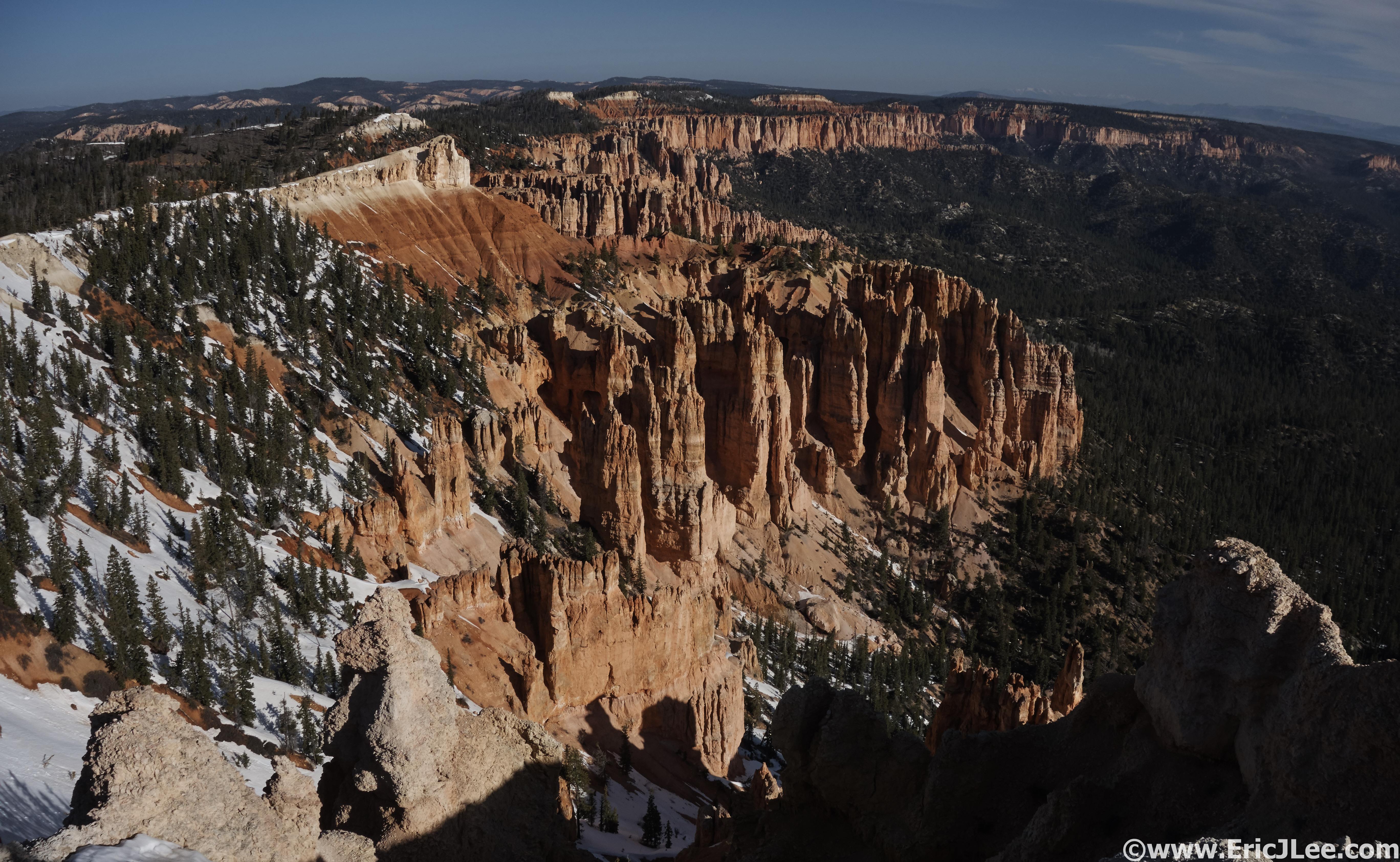
Dropping from Rainbow Point into the canyon, a little lingering snow at 9100ft.
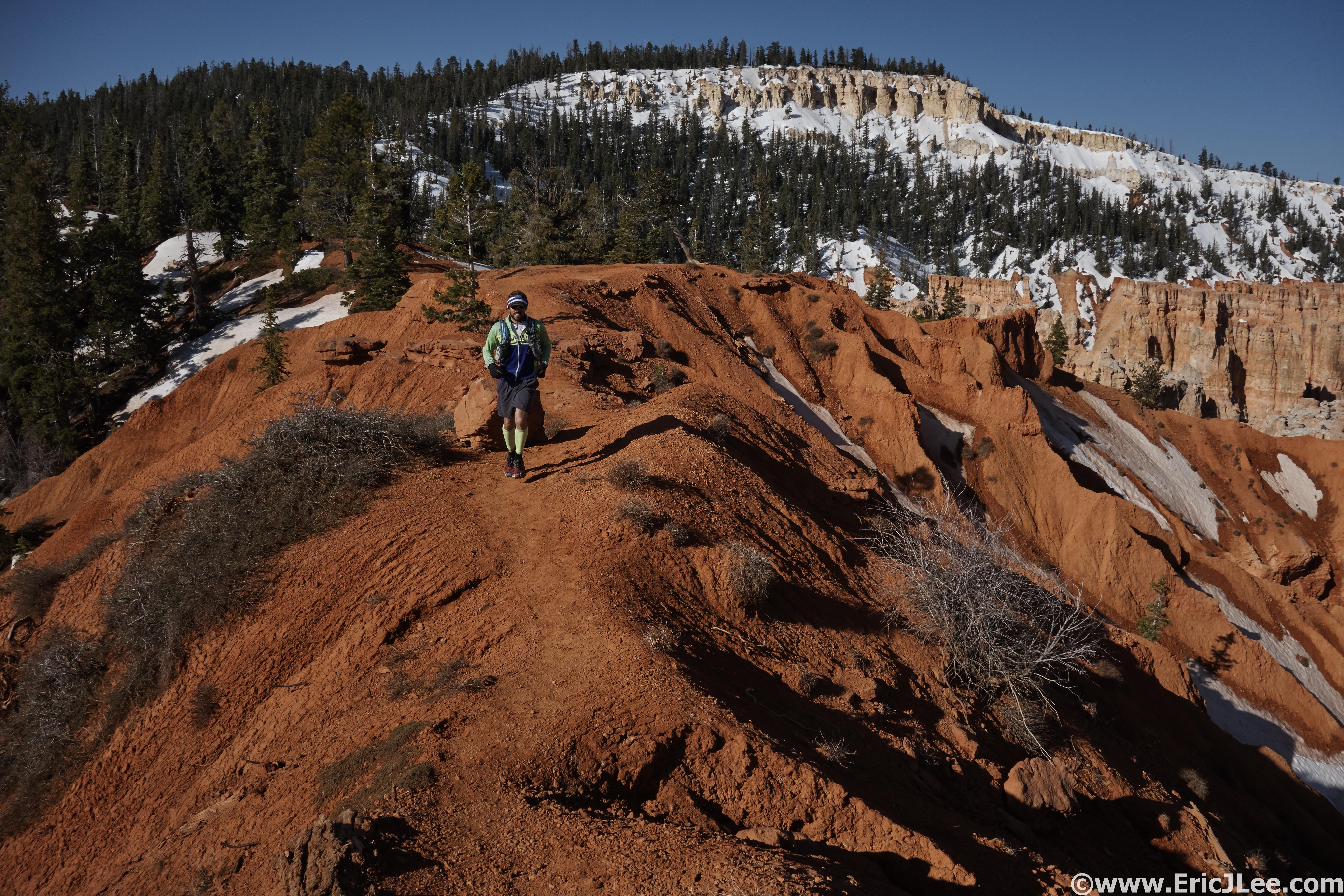
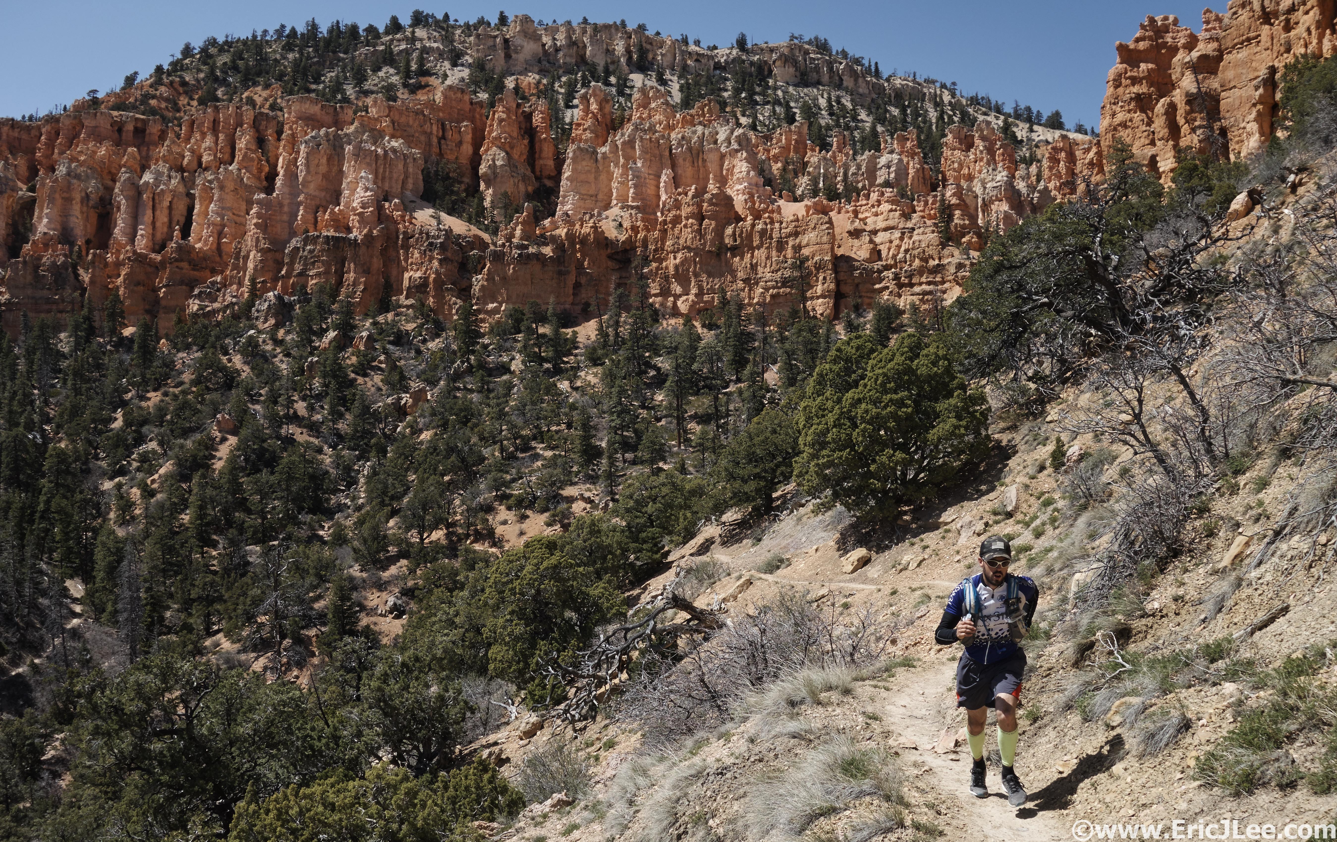
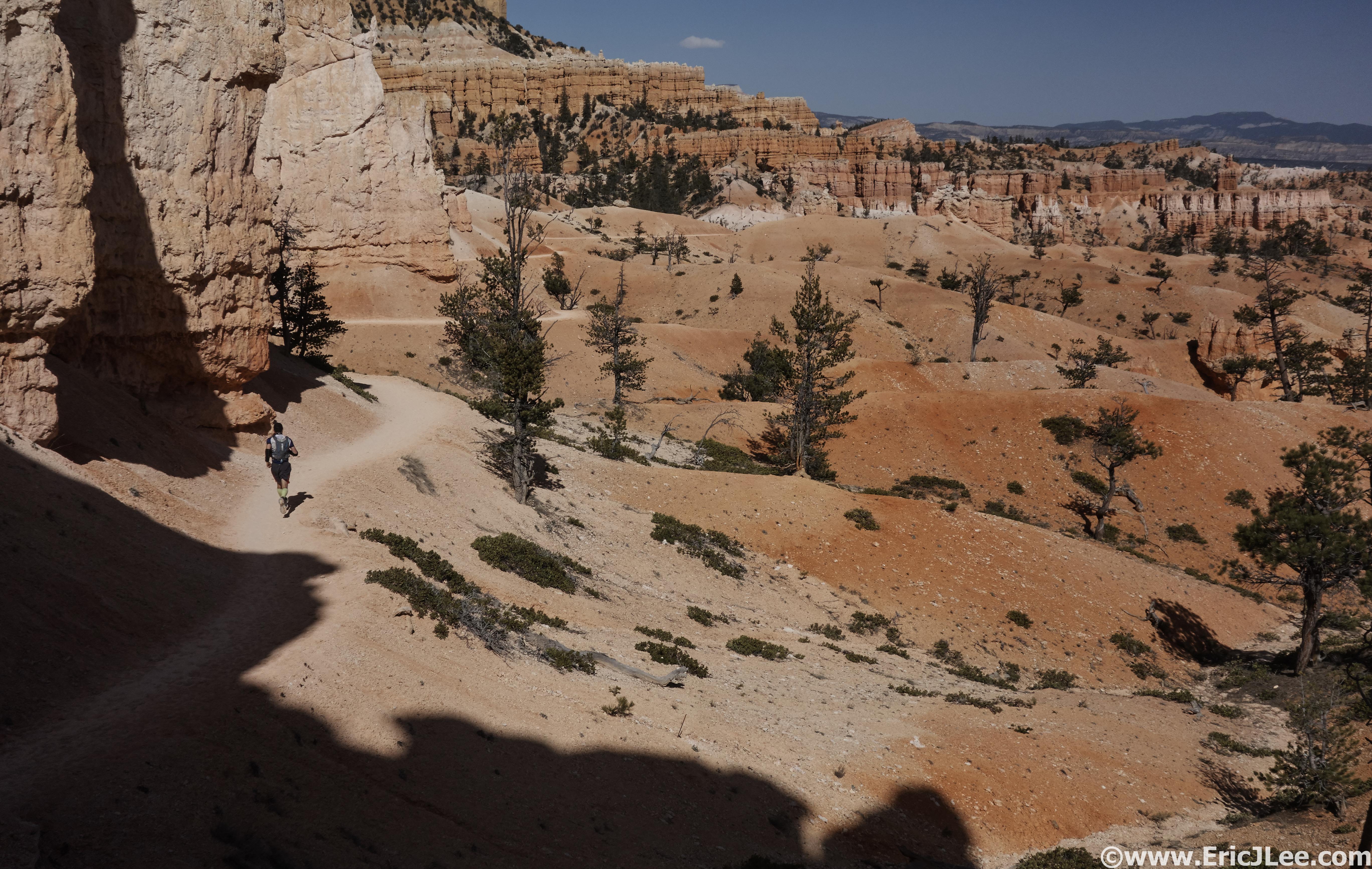
Running the Under the Rim trail, mostly smooth and runnable for 21miles.
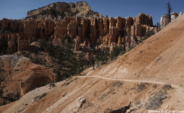
As we drove out to Rainbow Point we were a little surprised at the amount of snow that lingered on the high plateau (we were at 9100ft). So after a last minute gear change (grabbed microspikes) Ben and I were jogging down the Under the Rim trail into Bryce Canyon. The snow was soft on top, though several feet deep, so we used our microspikes for the first mile. Soon the snow had dissipated to just a few patches and we were jogging through the forest far below the rim. The trail was pleasant as we crossed several seasonal melt streams and cruised to our first waypoint at Iron Springs (4.3mi, 0:50). The water at Iron Springs can be treated in a pinch, but isn’t recommended. As we slowly traversed our way north we entered the old burn zone just past Agua Canyon, a strange skeleton forest of charred trunks (from 2009). The trail continued to climb in and out of the side canyons that flowed from the Bryce Rim, past peculiar rock formations, along Swamp creek (strong water flow at the top, disappeared down low, 10.9mi, 2:15), and finally to the head waters of Sheep creek. The sun continued to beat down on us, though the temperature remained cool at the relatively high elevation (7000ft). Finally we crossed over the steady flow of Sheep Creek coming out of Yellow Springs (17.5mi, 4:10, half way), and sat down to treat some water and reward ourselves with some chocolate. Sheep Creek is the last reliable water source in the canyon, so we took our time hydrating.
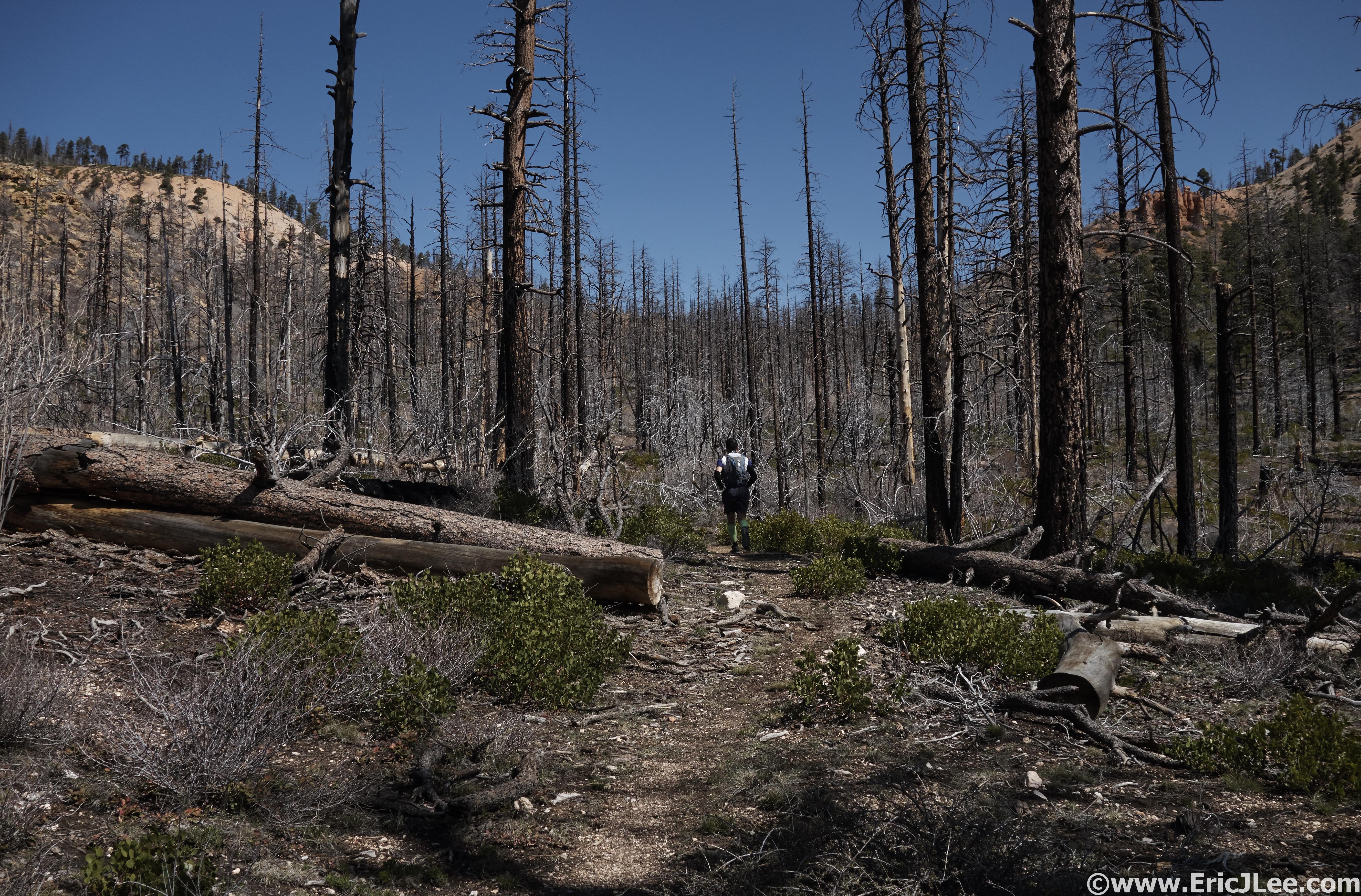
Running through the 2009 burn zone near Agua Canyon.
Yogging up the final climb to Bryce Point, hey look, Hoodoos.
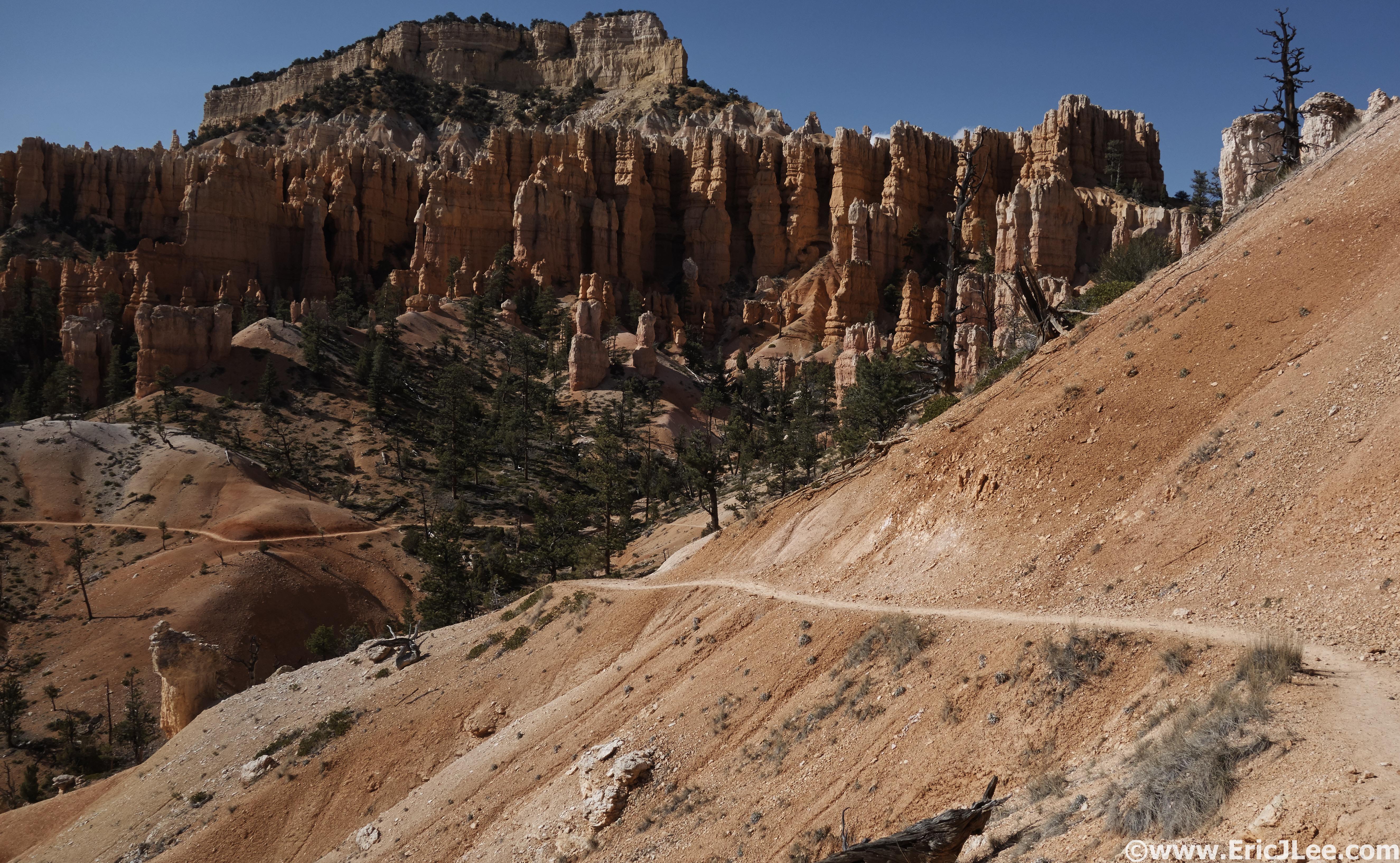
After a short jog through some open terrain we began the long slow climb to Bryce Point, our first time returning to the Rim since we started. We settled into a nice mixture of power hiking and yogging, with the occasional break to snap a photo as we passed the Hat Shop and our first up close view of the Hoodoos. We soon found ourselves back on the plateau near Bryce Point (22mi, 5:40) but quickly descended into the heart of the Hoodoos. We took the western arm of the Peak-a-boo Loop right through the middle of the Hoodoos, past the Wall of Windows, the Cathedral and countless other unnamed formations dodging throngs of tourist the whole way (first time we’d had this issue). When we reached the junction with the Navajo Loop we cut North onto the hiking trail to the Queen’s Garden. By this point we were both starting to hurt, me on the ups, Ben on the descents, so the trudge up to Sunrise Point seemed to drag on and on. We finally topped back out on the rim and jogged across the parking lot to my car for a quick food and water resupply before the final push to the end, Fairyland Point (26.5mi, 7:00). There is also water in the General store bathrooms and at the campground, so a vehicle here isn’t necessary.
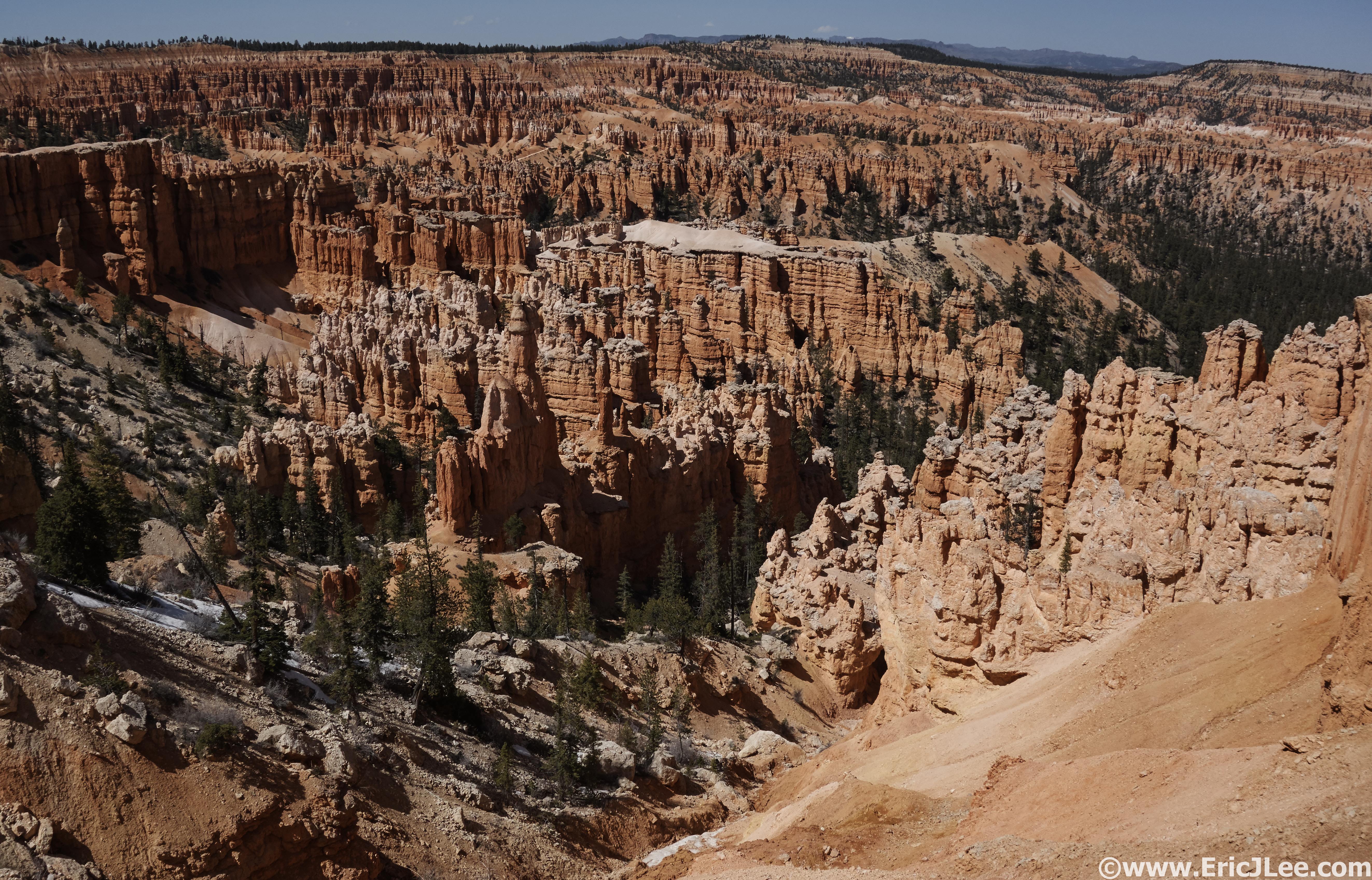
Our first view of Hoodoo heaven between Bryce Point and Sunrise Point.
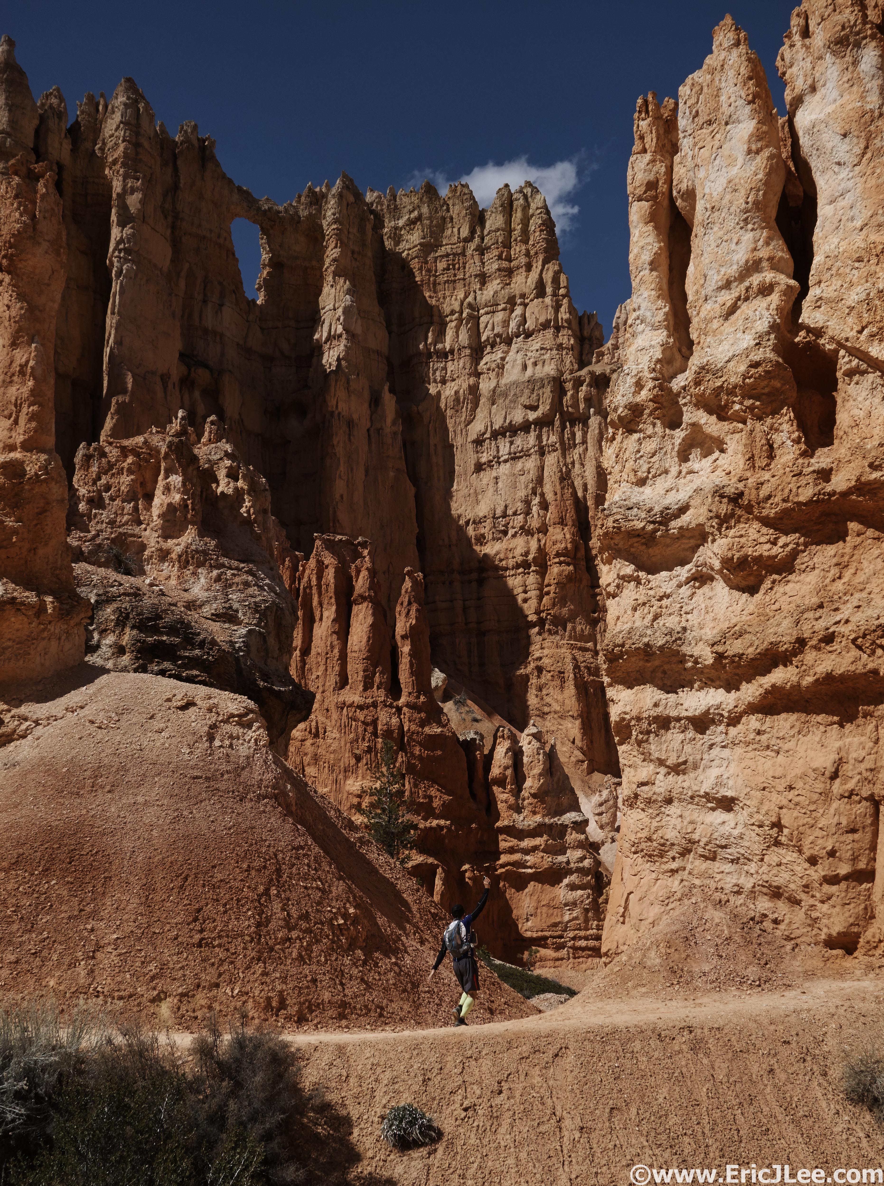
Feeling small yet? Ben running in front of the Wall of Windows.
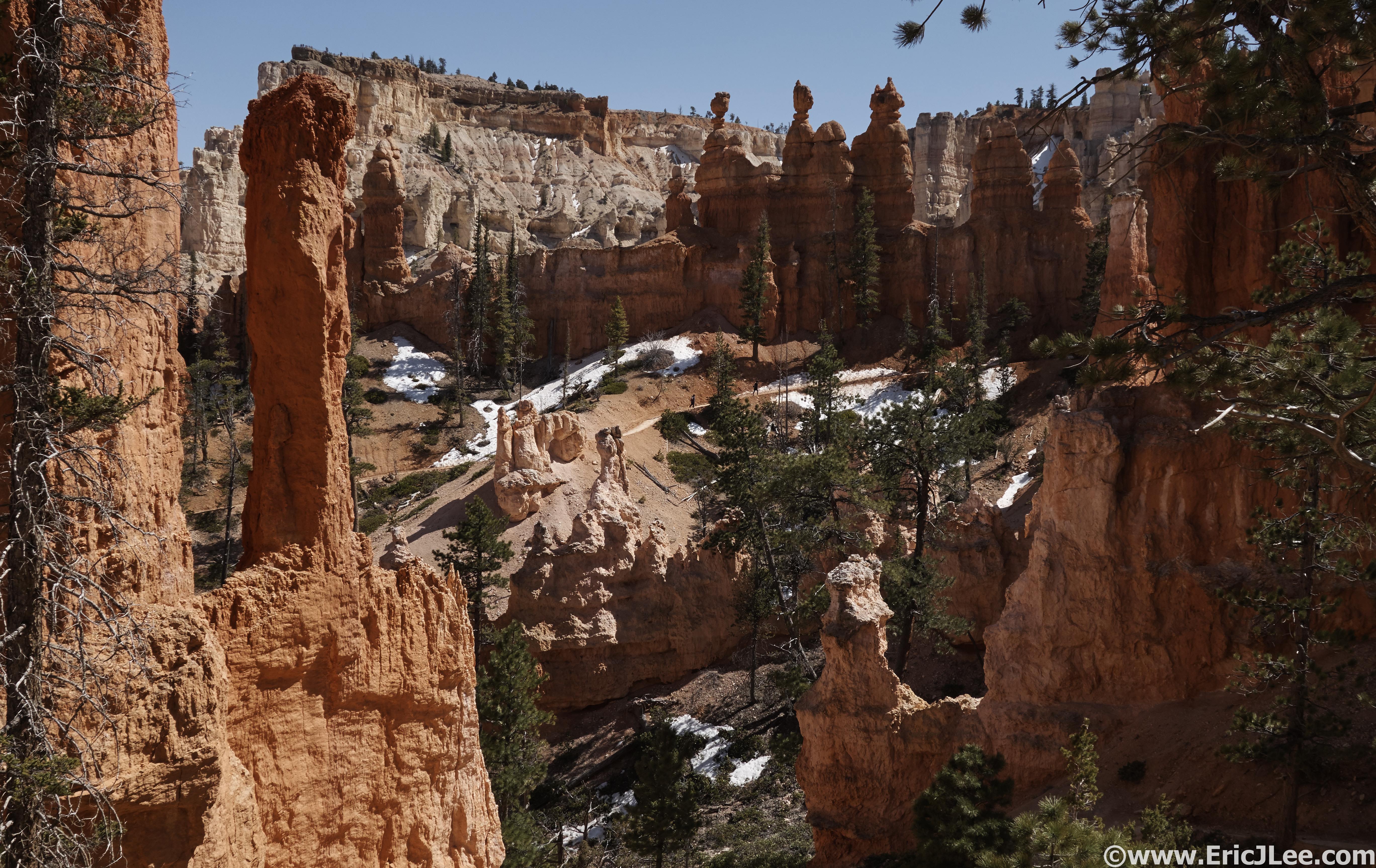
Queens Garden trail sights, I would imagine this is what Mars feels like.
We jogged out from the trailhead one last time, following signs into Fairyland Basin, new territory for me. I enjoyed the smooth descent into the canyon, Ben’s knees less so, but it was very refreshing not to have to fight our way past oblivious hikers every minute. Fairyland lived up to its name, an expansive basin filled with multi-colored rock formation, towering Hoodoos, natural bridges and solitude (well, more than the previous 4miles). We slowly made our way across the basin, snapping photos and trying to enjoy the scenery, though both of us were a bit beat up. The last short climb to Fairyland Point loomed ahead, before we knew it several wooden fences appeared and we found ourselves at the trailhead, high fives all around (8:40). Amanda greeted us with water and snacks and the most important thing, a car, meaning no more hiking/running!
Cruising the singletrack in Fairyland Basin, smooth and fun, but so tired.
Cruising through Fairyland, all by our lonesomes.
The Trans Bryce run came out around 32miles and 6000ft of vert in a pedestrian 8:40, unfortunately my phone died part way so I don’t have a complete GPS track for the run. The route is completely runnable, with the Under the Rim Trail being a pleasant forested jog with very few people, the Peak-a-boo and Queens Garden trails having some spectacular scenery but lots of crowds, and Fairyland being a peaceful playground of Hoodoos and beautiful rock formations (with very little crowds). This route definitely encompassed what makes Bryce Canyon NP so special, and served up a little bit of variety along the way. For those looking for a shorter route, the Bryce Point to Fairyland Point run/hike lets one see the best of the park in about 10miles (with car shuttle). The Trans-Bryce Canyon Ultrarun was my 7th National Park Ultra, and as with the previous six, it definitely offered up some unique scenery and experiences. Next up Guadalupe Mountains NP and Carlsbad Caverns (won’t be all running) next week! Thanks to Vfuel for keeping me energized on all these adventures, my good friend Ben for always being ready for some Type II fun, Amanda for running the car shuttle and the National Park Service for keeping these wonderful natural playgrounds accessible in the face of lots of adversity.
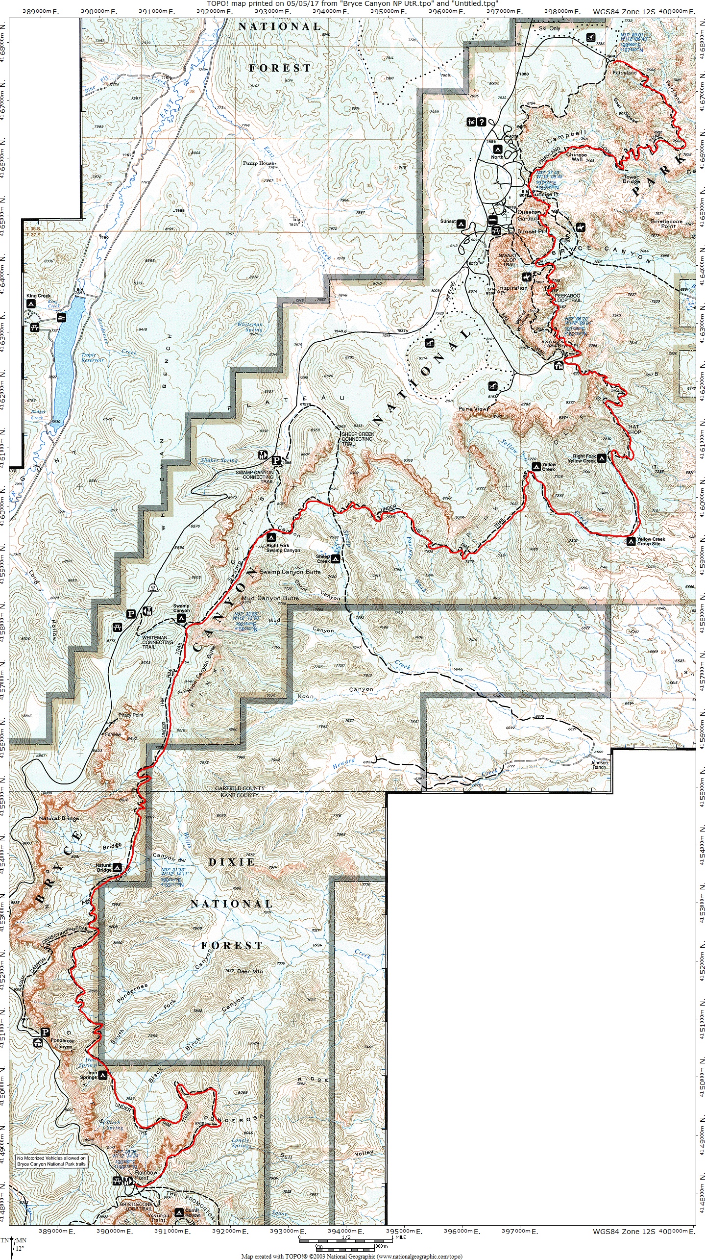
Trans Bryce Canyon map.
I’ll leave you with a few photos from some other fun in the desert. Buckskin Gulch and Paria Canyon (look it up!), Zerbra slot and Tunnel slot, Sulphur Creek Canyon Capitol Reef, Ding/Dang slots with Kaytlyn and Ely.
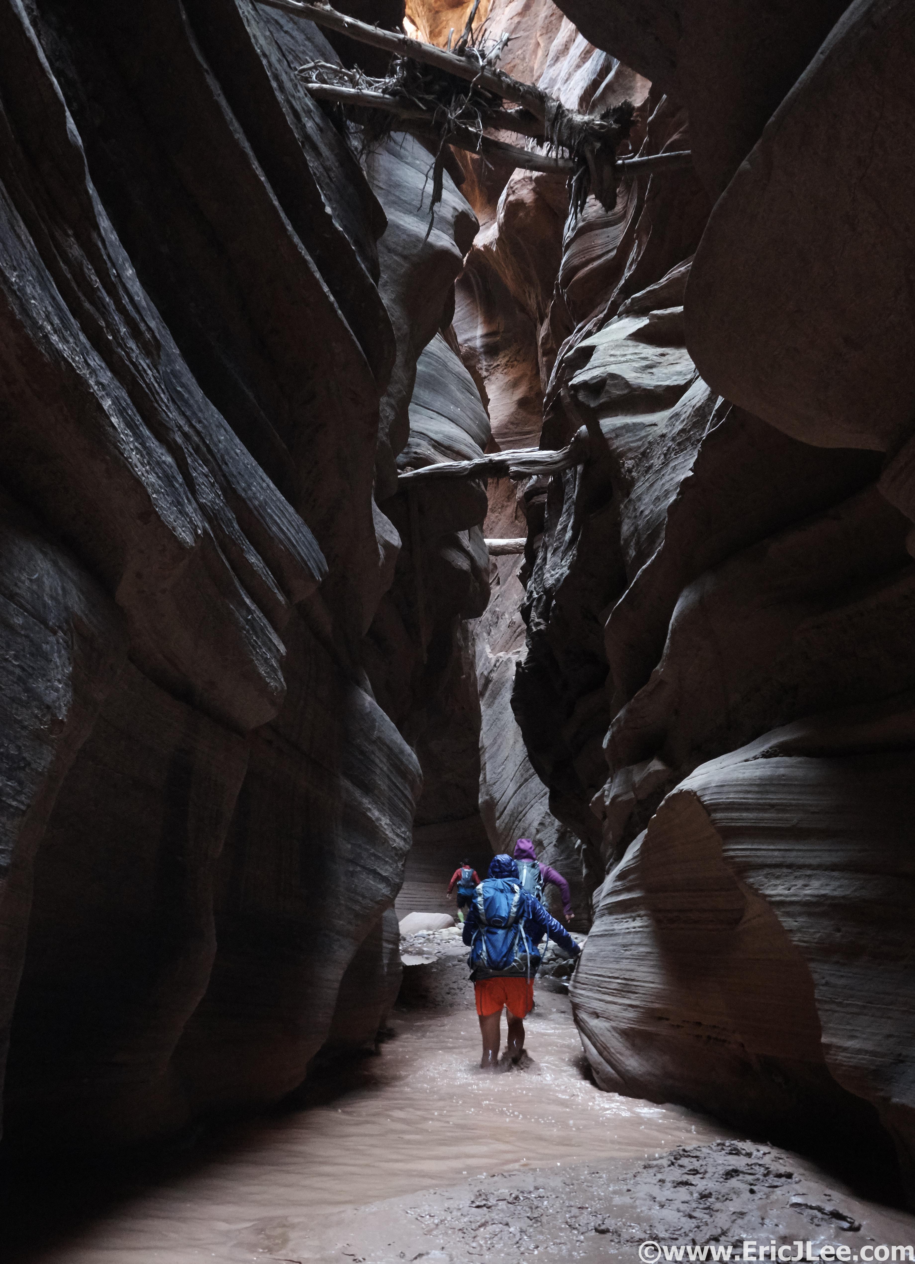
The dark narrows of Buckskin Gulch. Just think about how those logs got there…
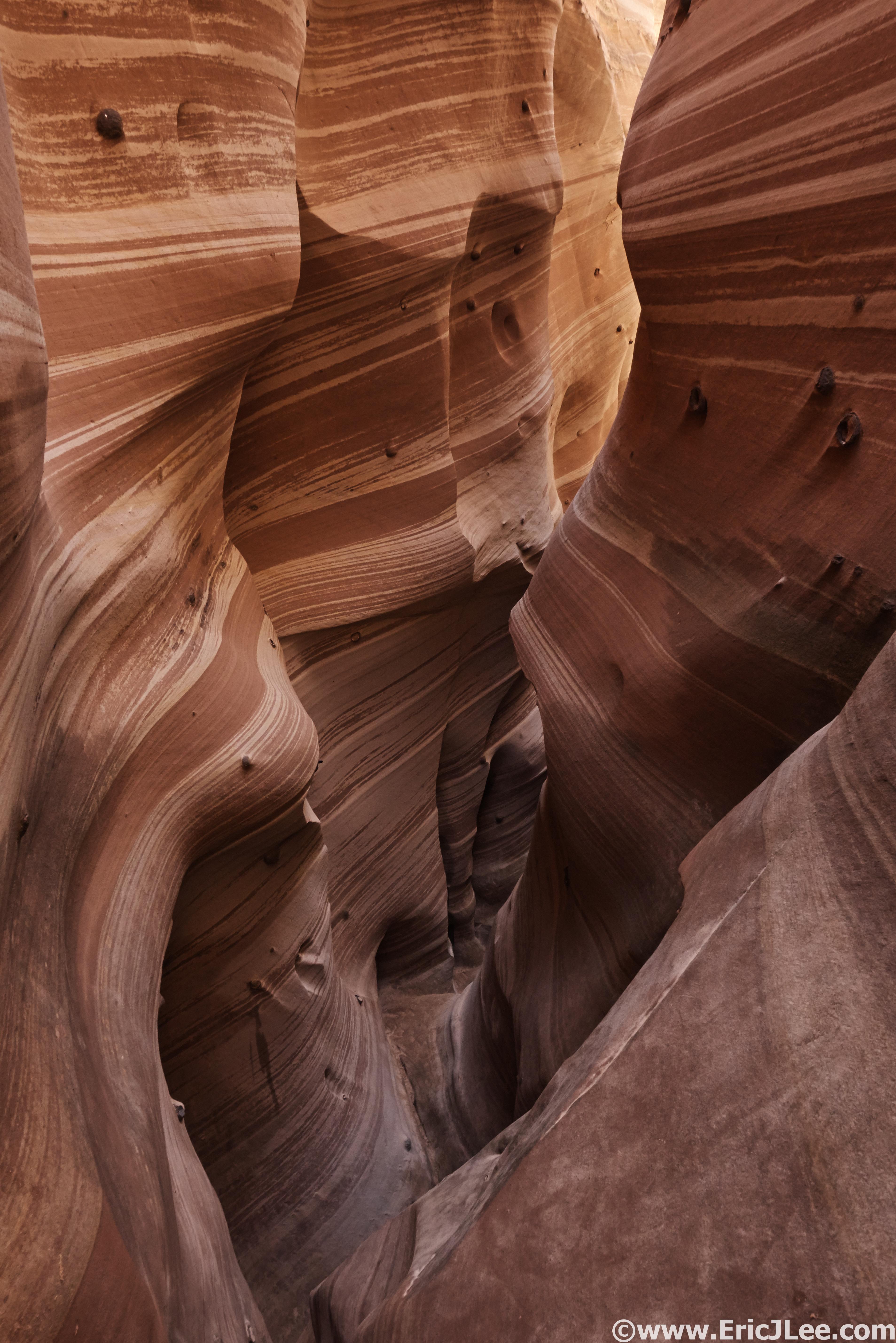
Zebra slot with its narrow striped walls.
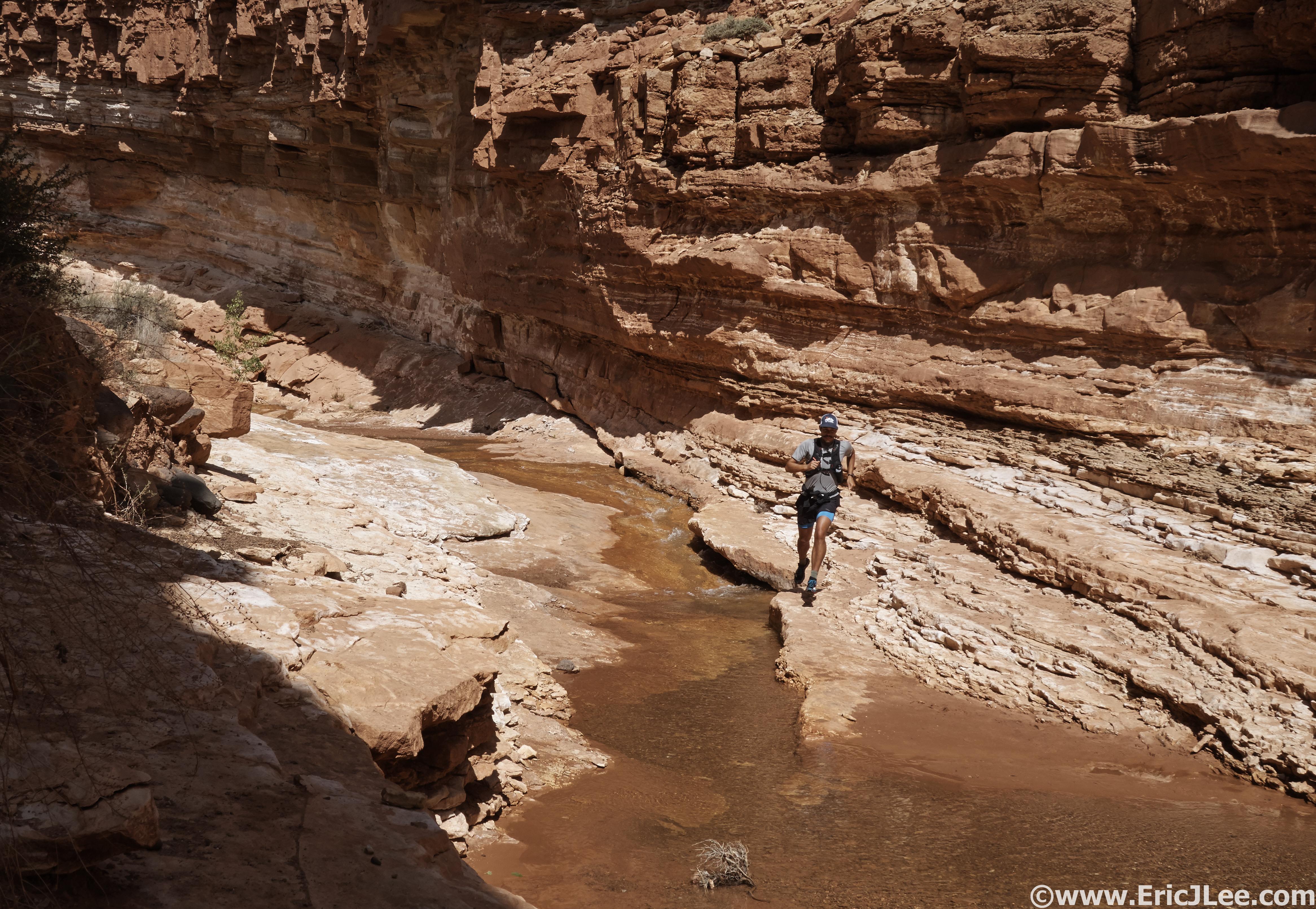
Sulphur Creek, Capitol Reef NP. Scouting another NP route.
Playing around in Dang Canyon in the San Rafaell Swell with Kaytlyn and Ely.
Were you able to find much water on the Bryce Traverse?
Neil,
We went early in the season exactly for this reason, as water is definitely an issue along that trail/traverse. As mentioned in the writeup, in April we were able to find water at Iron Spring (4mi), Sheep Creek/Yellow Springs (17mi, good source), then finally when you cross through Sunrise Pt (26mi). Late in the season I believe most of the springs dry up, so the taps at Sunrise Pt are really your only water source (unless you stash something at Bryce Point, you pass within 1/4mi of the TH, no services). It’s a beautiful run, trails are pretty smooth, scenery is awesome.
Eric