Category Archives: Running and Races

Blogs about running and racing

Annapurna Circuit 9 Day Trek

​November 6th Day 1; Besi Sahar to Tal

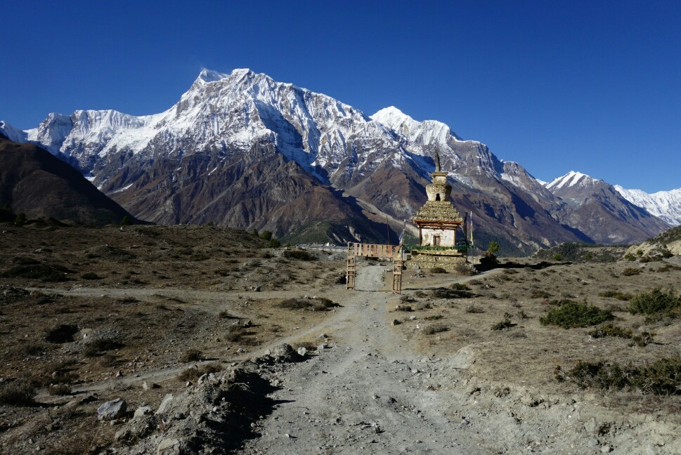
After catching a bus from Pokhara to Besi Sahar (550 rupees) on November 5th I’d intended to catch another bus to Nagdi, but when the driver told me 300 rupees for the 14km ride I said no thanks, checked in with the ACAP and stubbornly walked off. The road went by quickly and I soon found myself in Bhulbule and then Ngadi. These first 14km were pretty uninteresting and can easily be skipped, though I enjoyed the quiet morning stroll. Then began the climbing up through the terraced hillsides of Bahundande, Badalbisuanaa, Lili Bhir and Ghermu (which would be a lovely place to stay). At Syange I rejoined the road for the dusty climb up to a short bit a trail into Chamje. Here I missed the bridge so hoofed it along the road all the way to Tal as the valley was bathed in deep shadow. It had been a long 35km, 8.5h day, but the low elevation sections were behind me and into the mountains I went. 37km, 1400m+, 8:26.

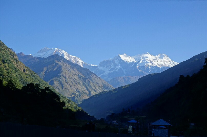
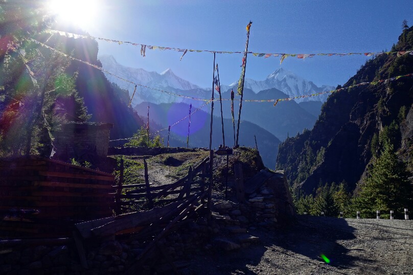
Mountain views near Ngadi.

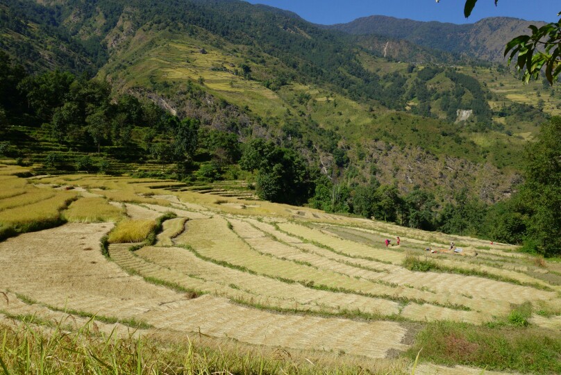
Terraced hillsides of Bahundande.

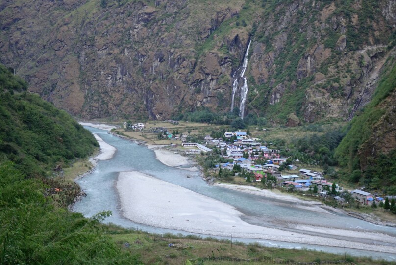
Looking down on the village of Tal from the road.


Day 2; Tal to Chame

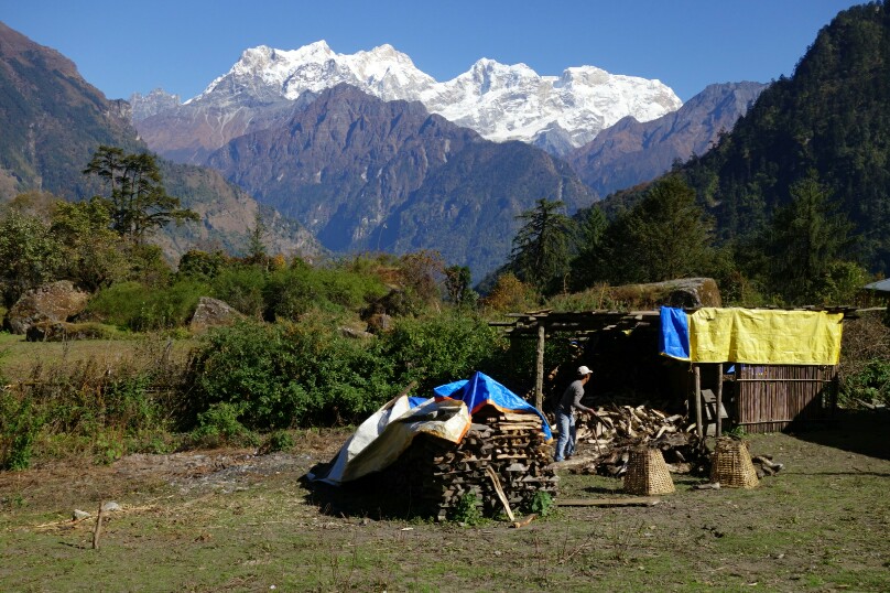
A more causal morning start had me following the single track out of Tal past several waterfalls through the deep gorge all the way to Dharapani. The lush green trail was sunk deep in the river gorge, and I lost it several times as it was not very well marked. Finally I reached Danakyu and began the steep 600m climb up to Timang, where we were teased with views of Manaslu the whole time. After this exhausting steep climb I settled in for lunch on a roof top in Timang with superb views of manaslu. After lunch it was back on the dusty dirt road through Thanchowk, Koto and finally into the bustling town of Chame. I set up shop at the Tilicho GH for the night, a friendly and quaint lodge. Being my birthday I treated myself to fresh apple pie as I chatted with the other travelers. 23km, 1200m+, 7:15.

Views of Manaslu from Timang.

The Annapurna range finally reveals herself.

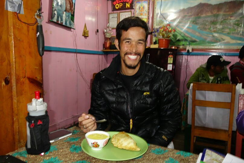
Birthday apple pie and custard.


Day 3; Chame to Gyaru

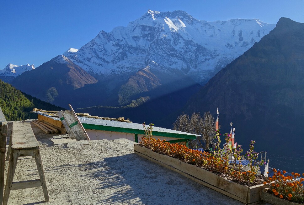
Another casual start in the chilly shade of the valley at 8:25, cruising up the dusty road. When I reached the lovely apple orchards of Bhratang I was overwhelmed by the 50-70 people lining the road in front of me. Apparently I’d found all the other trekkers I hadn’t seen the previous two days. I quickly passed them all by, arriving in Dhikur Pokhari around 11am. Here the massive sweeping face of the Swargadwari Danda dominated the skyline. The terrain soon turned very arid as I passed into the rainshadow of the Annapurna massif. As I neared Upper Pisang fantastic views of Annapurna II and IV appeared. I paused on the outskirts of Upper Pisang for lunch and to gawk at the views.  Till now the trail had been climbing pretty gently, then just 1km from Gyaru it jumped up in cruel fashion,  gaining 300m in a series of relentless switchbacks. I grunted up the slope reaching Gyaru just before 2pm. I settled into the Annapurna hotel,  basic accommodations but a million dollar view. Special thanks to Jessie Wilburn for the suggestion, as sunrise (and starry skies) from this village is a must see, best views around. 19km, 1100m+, 5:10.

Swargadwari Danda looming over the river.

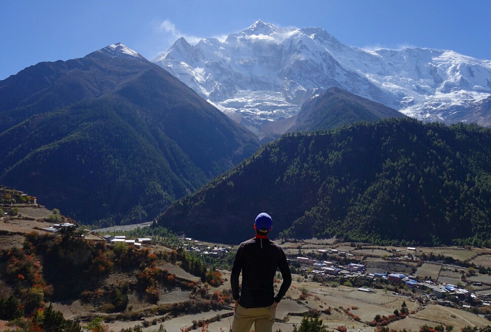
View on Annapurna from near Upper Pisang.

Roof top view from Ghyaru


Day 4; Gyaru to Manang

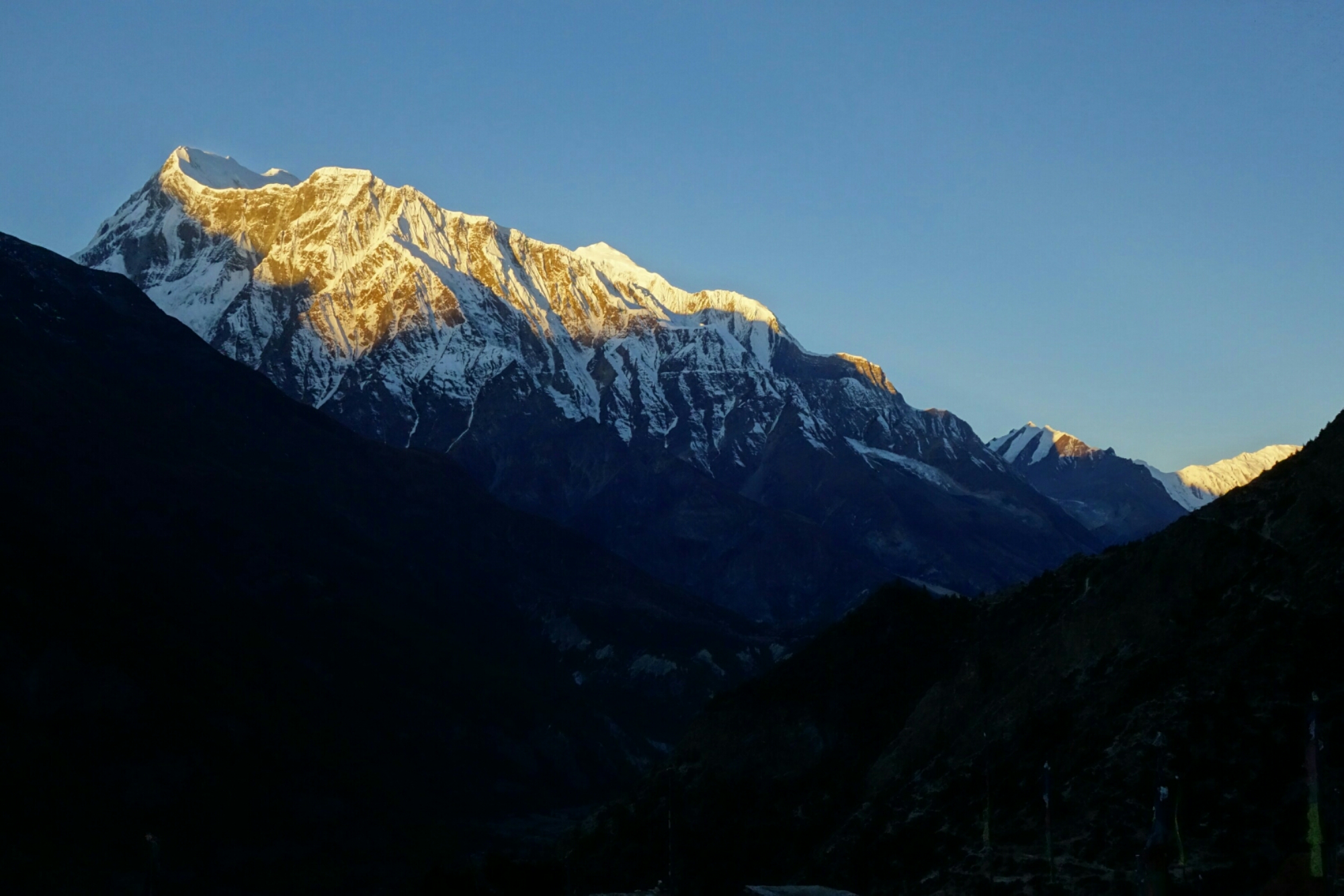
This was to be my easiest day with the big pack on, but I also intended to throw in a side trip to Kicho Tal (Ice Lake), so it wouldn’t be much of a rest day. After watching a beautiful sunrise over the Annapurna range from my hotel rooftop I set off early across the rolling traverse towards Braka. The views across the valley and to the villages far below were quite spectacular. The terrain was pretty easy going until I hit a broad valley near Julu and stared across at the steep 300m decent and climb that awaited me, well damn. I flew down the hill as usual, then came the grind straight back up, ugh. I made decent time and was deposited in a high hanging valley on a gently descending trail, one of the most pleasant sections of trail I’d been on, fantastic views to boot. I cruised on over to the junction with the Ice Lake trail,  dumped my main pack in some bushes and with only a running vest set off up the 900m climb to Ice Lake.

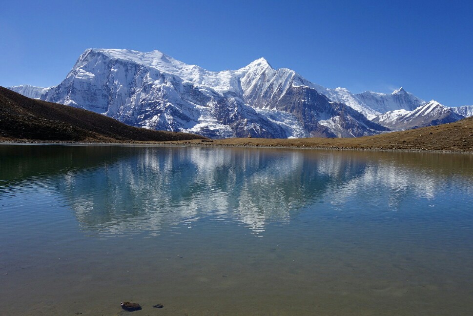
I was huffing and puffing pretty good but made great time to the lake (1:30), and had it all to myself for 20min. The still lake waters reflected the Annapurna massif as some bighorn sheep bounded up the hill behind me. What a place to spend a morning. Then,  abruptly the wind picked (11:20) up and my scene was gone. I jogged back down the hill (0:45) picked up my pack and mosied on over to Manang. I settled in for the night at the Yeti hotel,  a decent but over priced large complex and just wandered town the rest of the afternoon. Manang is a nice place to grab a pastry and stock up on supplies as its the last cheap hub east of Thorung La. Then it was early to bed again. 25km, 1500m+, 6:25.

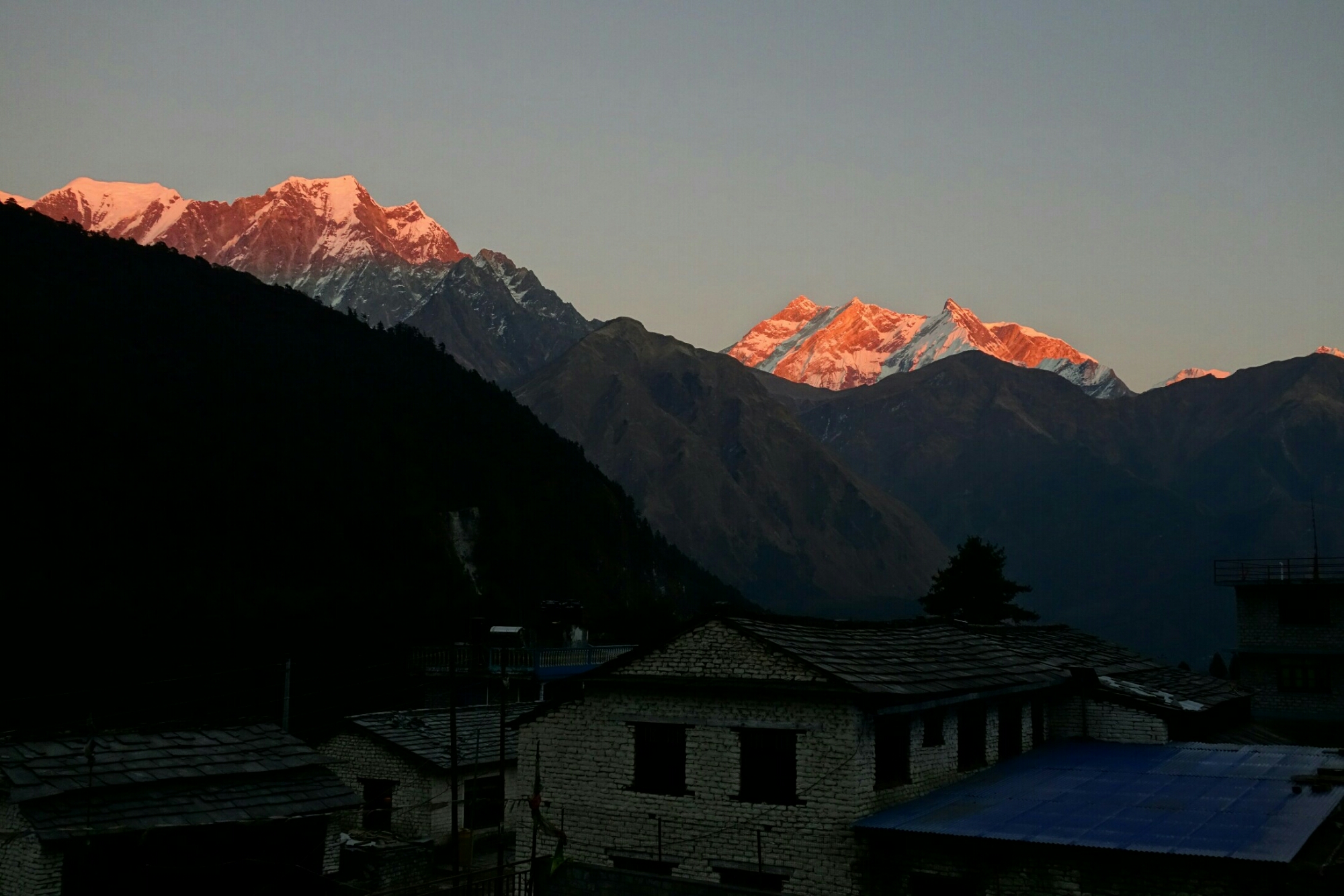
Sunrise from Ghyaru.


Cruising the trail between Ghyaru and Braka.

Reflection of the Annapurna massif in Ice Lake.

Descending from Ice Lake, there is a tea house half way with some lovely views.

November 10th, Day 5; Manang to Thorung Phedi
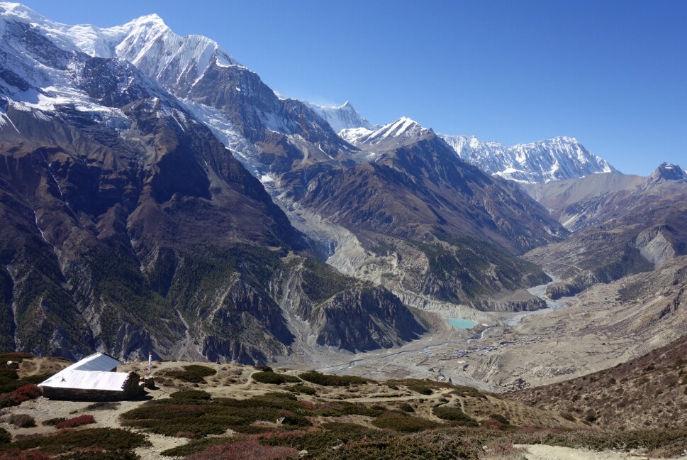
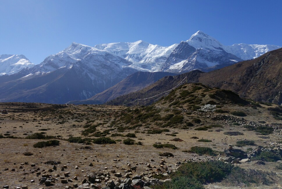
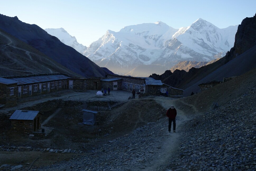
I took a slow and steady pace leaving Manang, climbing from 3600m up the valley. There were nice views of Annapurna and Gangapurna behind me, but I was slowly leaving them behind. I took a break for soup lunch in Yak Karkha (4000m), then continued my trudge up valley. The altitude was slowing me down but I kept slogging forward,  crossing the Kone Khola and taking one last tea break before the final push to Thorung Phedi. There are three guesthouses at 4500m set in a high arid valley. Not much views of the mountains here,  but a spectacular valley none the less. It was a chilly and restless night as I didn’t sleep well at the altitude which made me nervous for the following days climb to Thorung La. 15km, 1100m+, 5:06. Resting HR 64.
Views back at Annapurna from near Yak Karkha.

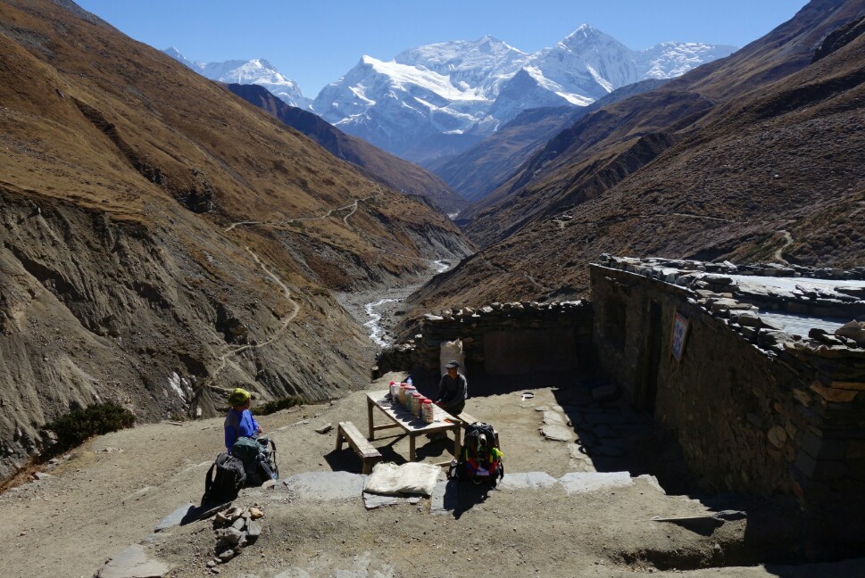
Tea house break just before Thorung Phedi. Nice views and thin air.

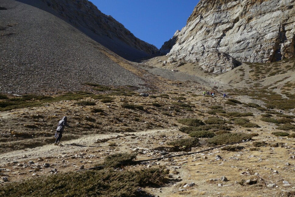
Looking up the endless switchbacks from Thorung Phedi to Thorung high camp. How many people can you spot out for an acclimatization hike?

Day 6; Thorung La Pass to Muktinath.

Worried about the altitude I awoke early and hit the trail at first light (6:15am), wrapped in my down jacket. The first part of the climb out of Thorung Phedi consisted of 400m of steep switchbacks up to Thorung high camp. As I slowly climbed upwards I felt OK,  winded but moving steadily. The sun began to illuminate the valley behind me and Annapurna III glowed pink in the morning light. Surprisingly after only 45min I crested the hill arriving at Thorung high camp (4900m), feeling fairly spry. The sun was slowly creeping down from the pass toward me, and soon I found myself bathed in its wonderful morning warmth. The rolling uphill to Thorung La seemed to drag on,  but finally I saw the thousands of prayer flags that adorn the pass, pushed the pace a bit,  and at last plopped down at 5416m atop the pass (2:15).
The pass is set between two sizeable mountains so the only views are backward and forward down the trail, still expansive. I put on all my clothing and proceeded to hang out on top for 1.5h, enjoying the scenery and people watching, in no rush to descend as the thin air felt good. After quite a few photos I decided it was time to go and bounced off down the steep trail toward Muktinath. The steep and dusty descent past Chambarbu and to Muktinath went by quickly and can definitely be a quad killer (1600m-). I strolled into the bustling voyage at Muktinath and took a room at the Hotel Caravan among a sea of local Nepali. I joined the locals and explored the sacred sights of Muktinath, I still feel strange wandering around holy sights of which I don’t have a particular affiliation, but the culture was intriguing and beautiful none the less. 17km, 900m+/1600m-, 4:30 moving.

Morning light creeping toward Thorung High Camp.

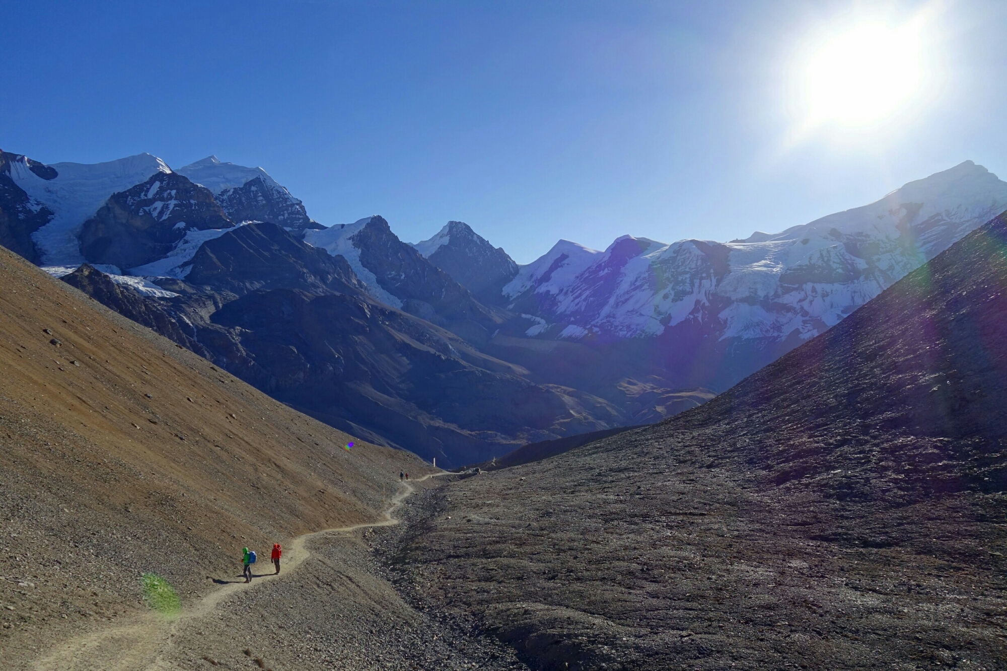
The final portion of the climb toward Thorung La pass. Don’t forget to turn around and enjoy the scenery.

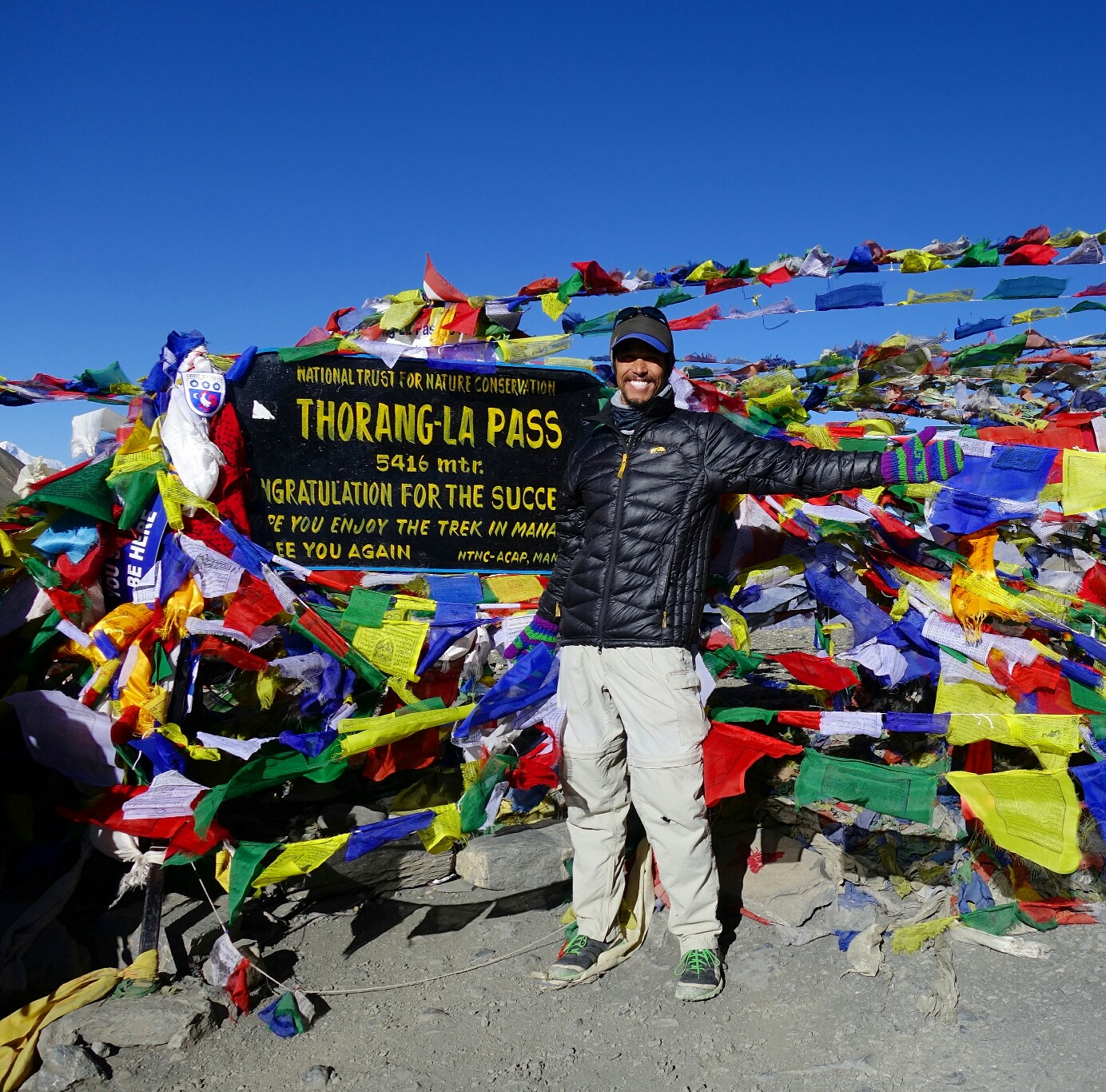
Atop Thorung La pass amongst the prayers flags at 5416m.

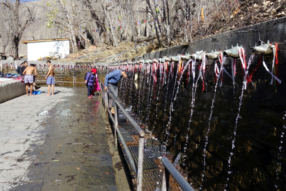
Nepali pilgrims bathing in the sacred fountains at Muktinath.

November 12th, Day 7; Muktinath, Upper Mustang, Jomsom.

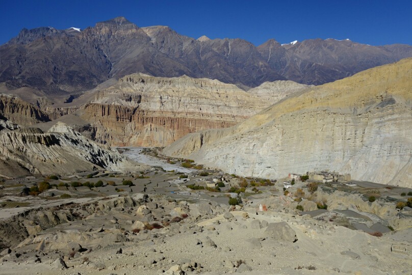
I set out on the trail toward the villages of Jhong and Putak to explore these traditional Mustang villages. As I climbed away from Muktinath following a well beaten path and a series of red arrows (not the red or blue flags) I had the suspicion that my route was taking me a little deeper into Mustang than I’d initially anticipated. Soon I was 500m above the valley, looking back at the expansive views, and forward into a deep valley surrounded by rock towers and massive desert mountains. A couple of Nepali confirmed that if I went down and turned left at Chhuksang I’d reach Kagbeni….I was totally about to descend into the Forbidden Kingdom of Upper Mustang.

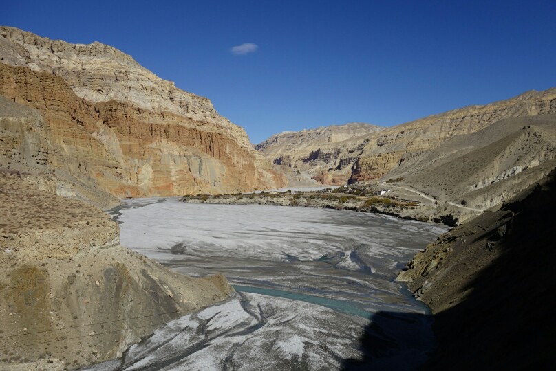
I descended the steep trail past several small groups, finally reaching the small village of Tetang with its terraced hillsides,  mud huts, gompas and isolated silence. After another 45min I reached Chhuksang and the headwaters of the Kali Gandaki river. I turned left onto the road and began the long (2h) walk to Kagbeni. The surroundings were surprisingly arid and reminded me of the Native American reservations of the SW. Mudstone towers lined the road, deep canyons reached back from the river and views stretched for many miles. Finally after almost 15km I reached Kagbeni, exhausted. The forray into Upper Mustang had been a wonderful glimpse into a life style long forgotten. Kagbeni was interesting,  but after Mustang didn’t have the same intrigue, so I quickly set off for Jomsom along the wind blasted dusty road. This was by far the most miserable section of hiking. 6km of dust storms in the wide open valley, so i was very excited to pull into old Jomsom and find a place for the night after my long day. Jomsom is the bustling hub of the circuit compete with airport, markets (in new Jomsom) and the bus stand. I was just glad to relax and take a load off, enjoying my first yak burger of the trip. 35km, 800m+, 7:00.

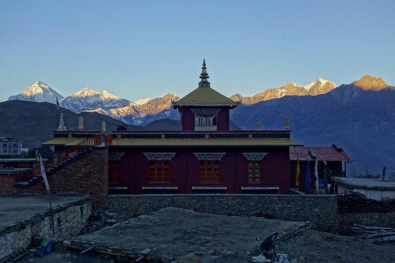
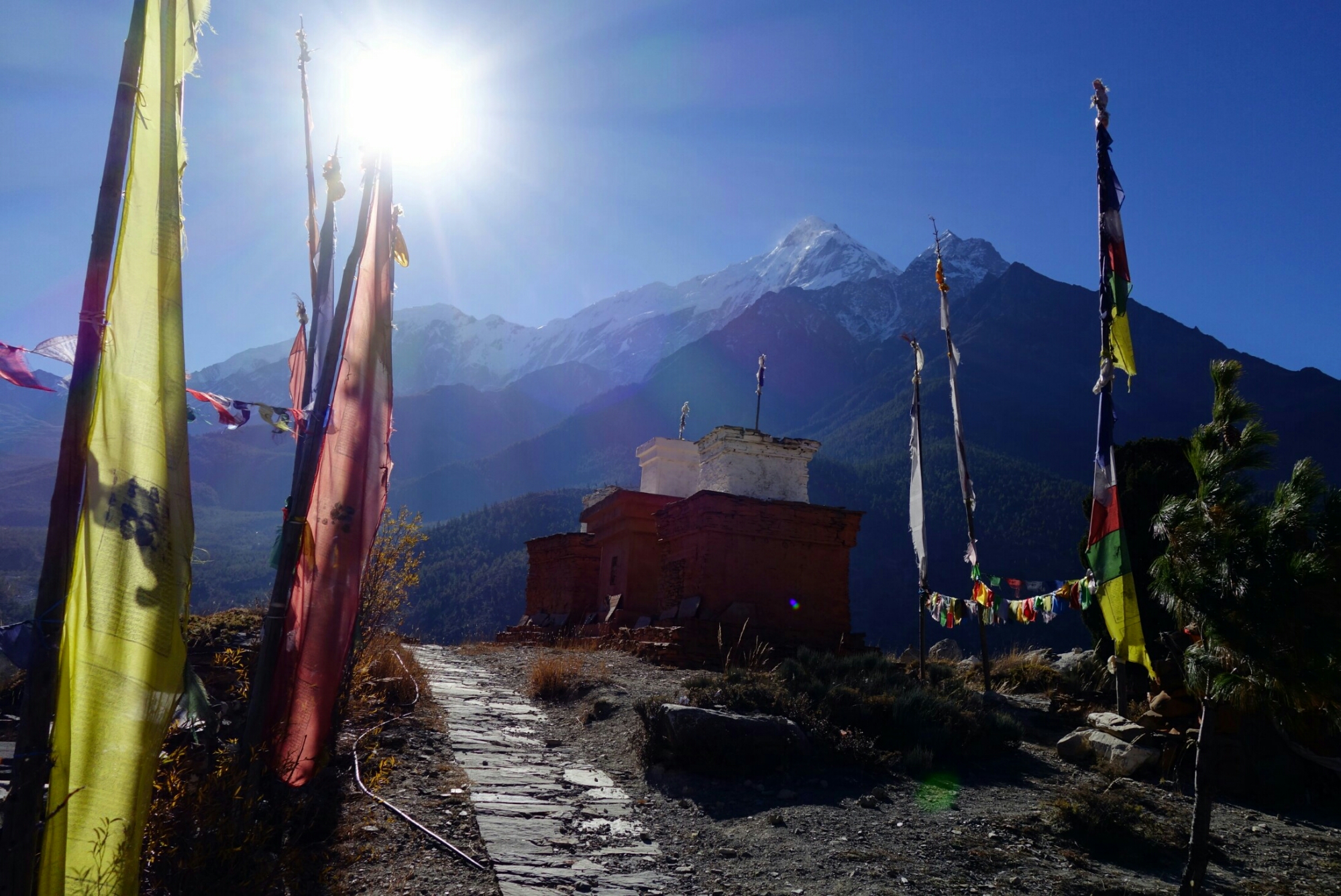
Sunrise from Muktinath over a temple with Dhaulgiri in the background.

Looking back from the high pass to Mustang toward Muktinath.

Descending into the Mustang village of Tetang, born of a different Era.

Looking back at the village of Chhuksang along the Kali Gandaki.

November 13th, Day 8; Jomsom to Kalopani.After some debating I decided to close the loop and walk the western section of the loop to Tatopani. From old Jomsom I headed up the hill following the trail on the east side of the valley. I made a short side trip to Hutsapternga Gompa(1:00), perched high on a hill with superb views of the valley. I stayed on the trail,  bypassing Marpha, couldn’t handle more road, eventually reaching the Tibetan settlement at Chhairo (2:00). I paused briefly to listen to the school children reciting the morning prayer and talked with a few locals at the school.

The trail continued to climb and descend along the east side of the valley, avoiding the dust bowl and visiting numerous small settlements. The people all seemed much friendlier and more open, maybe because the new road has left them to a quieter and less tourist riddled life? Views of Dhaulgiri are phenomenal on this part of the circuit, and I mostly had the trail to myself. After many ups and downs I finally rolled into Kalopani/Lete and the See You Lodge. This town has one of the better all around views on the circuit, Dhaulgiri behind and Nilgiri and Annapurna I across the valley. It’s a shame so many people skip the Western portion of the circuit. 27km, 600m+, 5:57.

Hutsapternga Gompa shining in the morning sunlight.

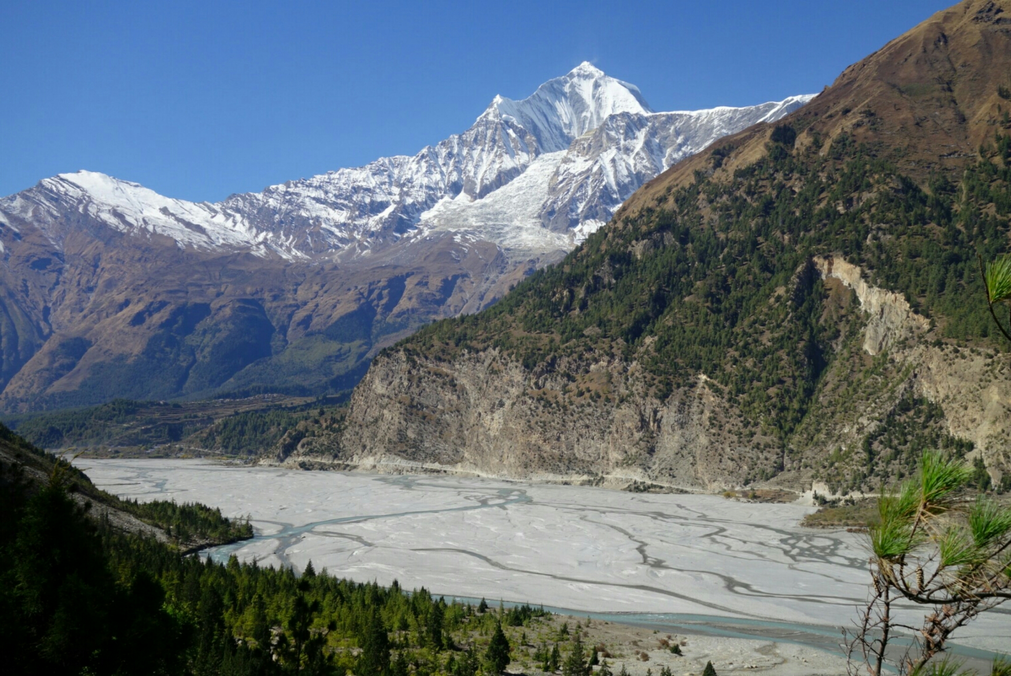
Dhaulgiri towering above the Kali Gandaki river.


Sunset on Nilgiri and Annapurna from Kalopani.

Day 9; Kalopani to Tatopani, the end.

My last day on the trail, up and our early to avoid traffic on the first section of road to Ghasa. I then rejoined the trail East of the river for the rest of the day, avoiding the road again. Walking through the now lush forest was very pleasant as I passed countless small villages, a few waterfalls and lots of view points. I paused in Gharpad to enjoy some fresh oranges and guavas with some locals before descending into Tatopani. Tatopani was a small village with plenty of small markets,  a nice hot spring and an interesting mix of Western and Nepali travelers passing through. It was a nice place to relax after my long days in the circuit, but not much more than a way station with fresh fruit.
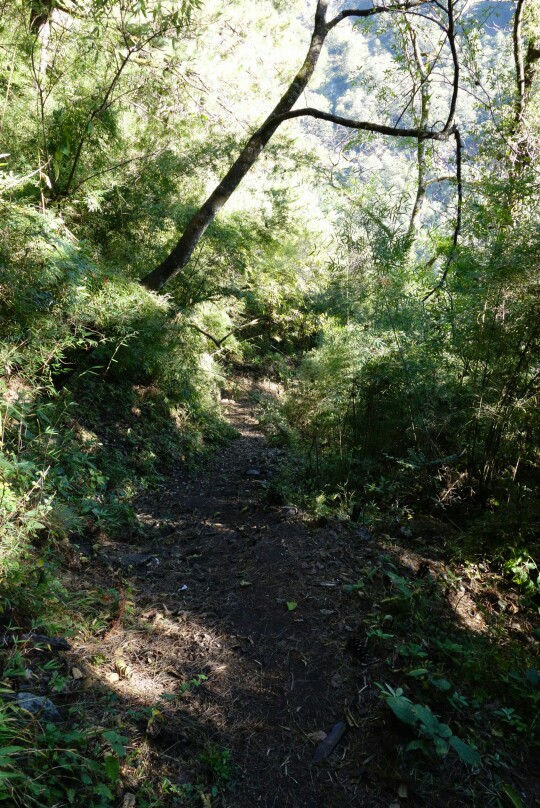
Lush forest enroute to Tatopani.

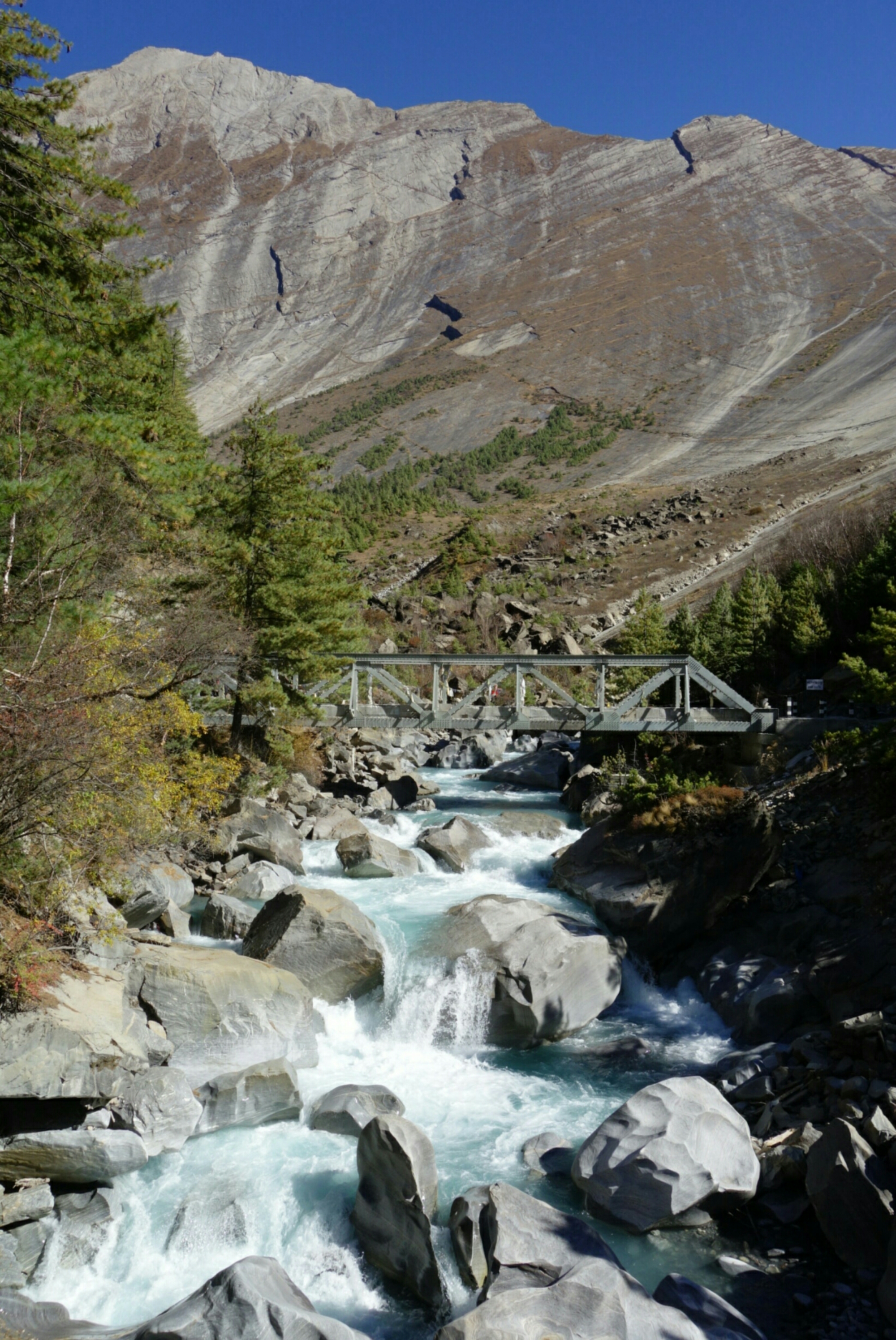
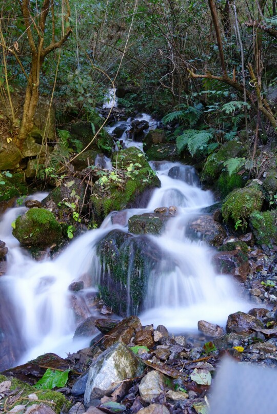
Nice little trail side cascade.

After 8.5 days of hiking I’ve reached Tatopani and the end of the Annapurna circuit. Up next a trip to Basecamp.

So ended my 9 days whirlwind tour on the Annapurna circuit. Full of amazing scenery, wonderful people, and some eye opening experiences. I’ll leave you with some final thoughts and notes before signing off.

NOTES; 

Trekking on the Annapurna circuit is not a wilderness experience, you’ll see tons of other travelers,  jeeps and motorbikes. In every village you can find both hot food and snacks to carry away. So technically you could probably carry almost no food and be fine (though you pay for it). It’s easy to simply fall in with the travelers and not meet the locals, so take the time to branch out.

I did the entire 190km loop in 9 days, definitely not recommended for most people. I’m extremely fit and I spent time elsewhere in Nepal acclimating. Climbing over 5400m Thorung La is no joke and should be treated with respect. My short time also only allowed me a few side trips, something many people would prefer to take more advantage of. Though I did walk the western part of the loop from Jomsom to Tatopani, something I highly enjoyed and recommend not skipping by using the bus. Lastly,  always remember to look around and keep an open mind. You never know what each day and experience will bring, so try to soak in as much of it as possible. It’s a fantastic journey that has not been ruined by the roads, the experience has just changed a bit over the years, but in the end it is what you make of it. Stay tuned for the next blog detailing my quick adventure up to Annapurna Basecamp. 

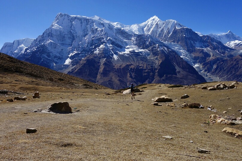
Running the trail down from Ice Lake with. Annapurna in the background.

Langtang Trek post-Earthquake

After meeting up with AJ in Kathmandu to plot or Annapurna trek we parted ways for a week. She was off to Bhutan while I decided to use my flex time to make a quick jaunt into the Langtang valley on one of the lesser traveled trekking routes.

By all accounts the Langtang adventure starts with just getting to the trailhead. Online I read of horror stories about 9-10h bus rides to Syabrubesi (trailhead) that only covered 120km! I will say, the ride lived up to the hype. As soon as I was dropped at the bus station I realized I was in for an adventure. The bus station consisted of a road side shack where guys were shouting in Nepali, passing out tickets and pointing at various busses parked along side the road. Thankfully my nice taxi driver helped me get a ticket then instructed me where to find the correct bus. As we loaded on the bus it was evident that other than one girl from Canada it was all locals.

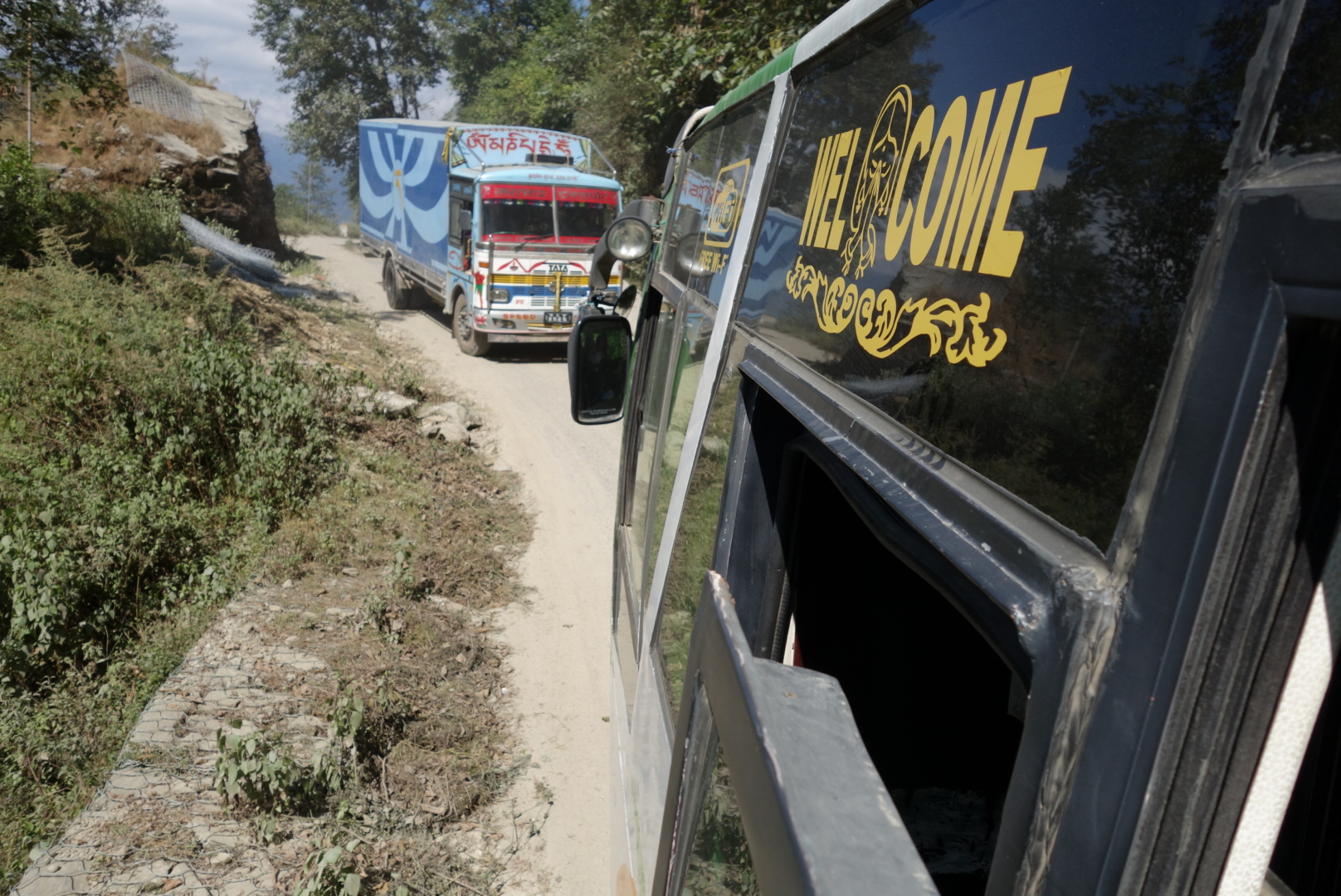
A little bus on truck action along the road. The usual passing entailed 2-4″ to the cliff on one side and a couple inches in between the two vehicles.

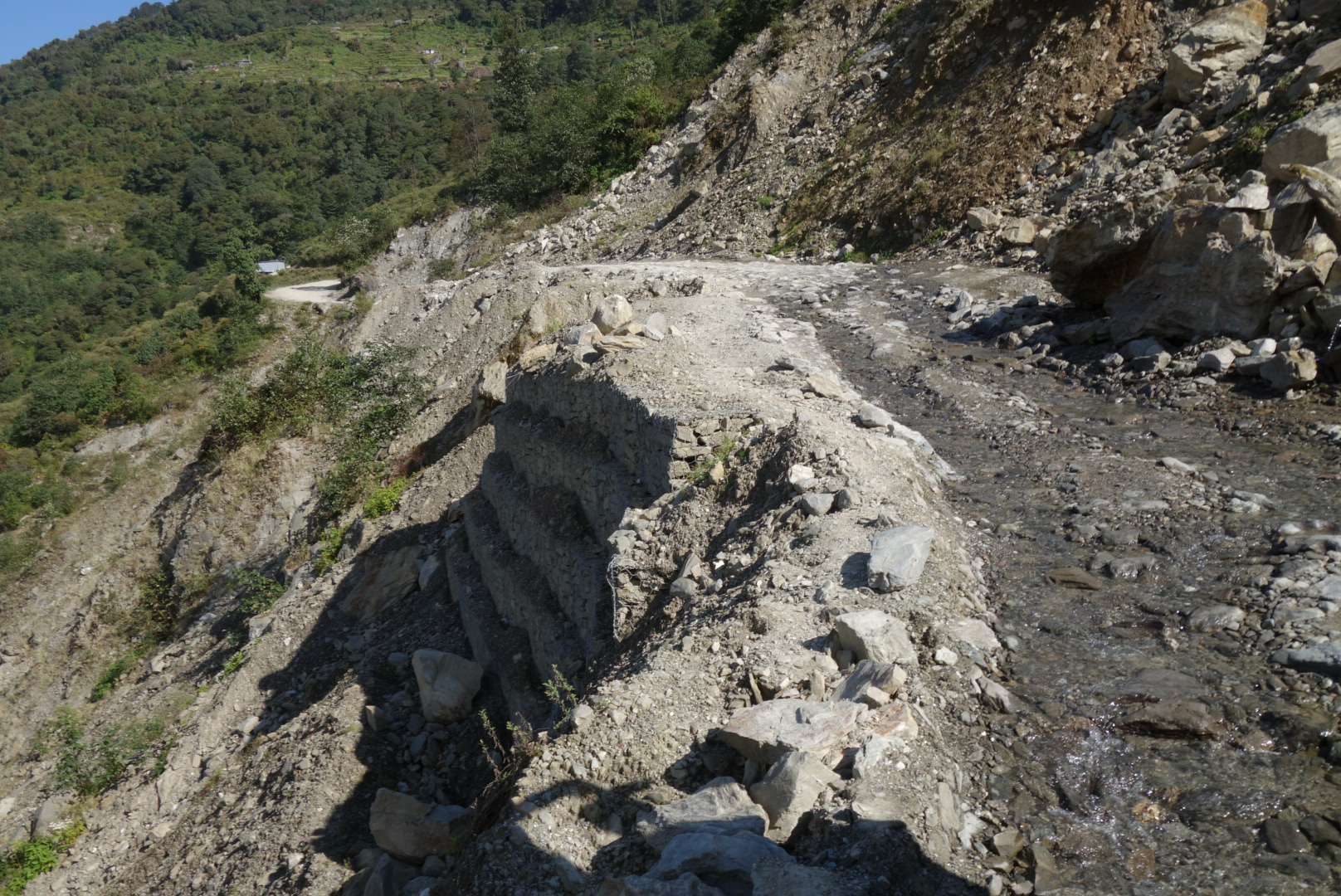
The not so smooth road to Syabrubesi.

As we pulled out of Kathmandu in the jammed traffic weaving around motos, parked busses and people, I started to understand the adventure that is ground transit in Nepal. We slowly weaved our way along the mostly paved two lane highway to Trisuli Bazaar where I bid the Canadian woman farewell and it was me and all the Nepalis for the next 4 hours, and the fun had just begun. From Trisuli Bazaar the road turns to half paved half rough dirt and only 1.5 lanes wide. Our driver navigated the rough dirt road,  passing other trucks and busses with inches to spare on all sides. Finally reaching Syabrubesi after 7.5h of some very impressive driving. This is one you have to experience for yourself to truly understand it.

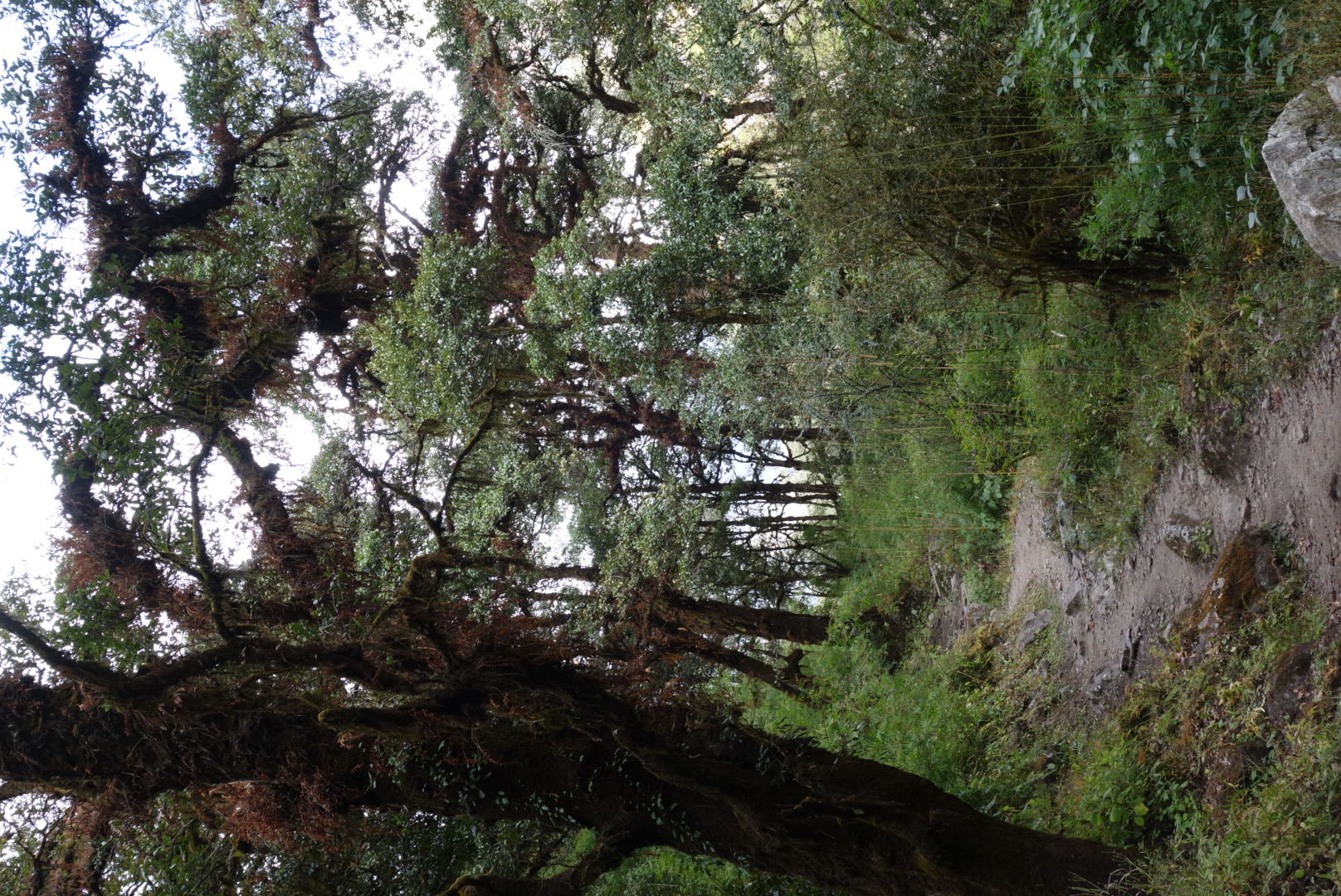
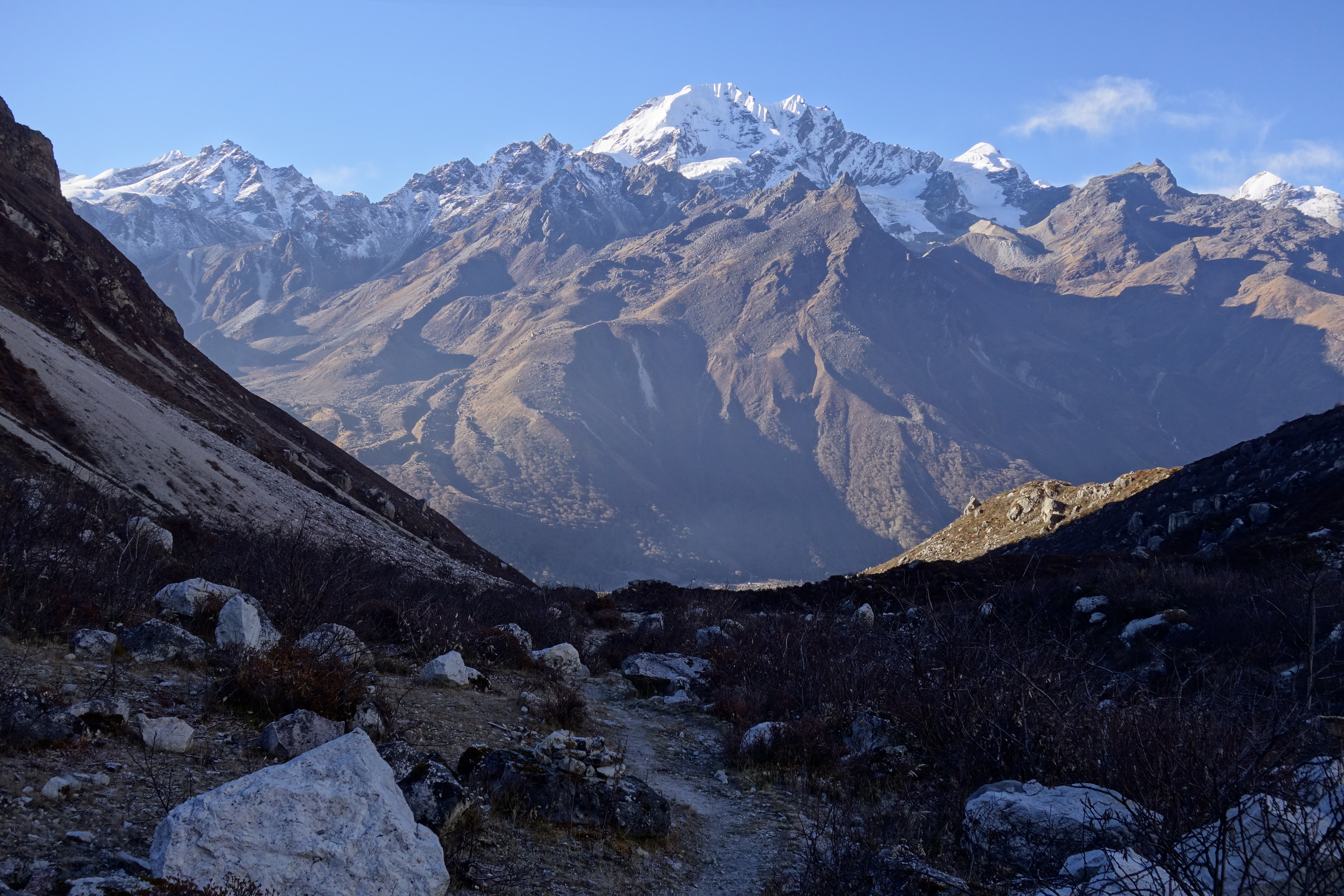
Lovely trail through the forest.

Finally in Syabrubesi I found a quiet room for the night and enjoyed a nice meal with the local family (as I was the only guest, a trend). After the earthquake of 2015 this region has experienced extreme hardship,  both in the form of lost lives and homes and in lost revenue. The main trail through the valley only reopened in the last year, and the tourism still hasn’t returned. I set off early the next morning making my way up the rocky staircased trail into the Langtang valley. I hike passed several small villages (tea houses) in route my lunch stop at Lama Hotel. I ate a huge lunch of vegetable fried rice with fresh chili yak cheese, all locally made. After lunch I sluggishly plugged my way to the guest house at Riverside for the night as clouds filled the valley. Again I sat with the owner and his family for dinner and watched a few Nepali music videos, as I was the only guest (notice a trend). Then to bed early (8p) as darkness settled in around 530p.
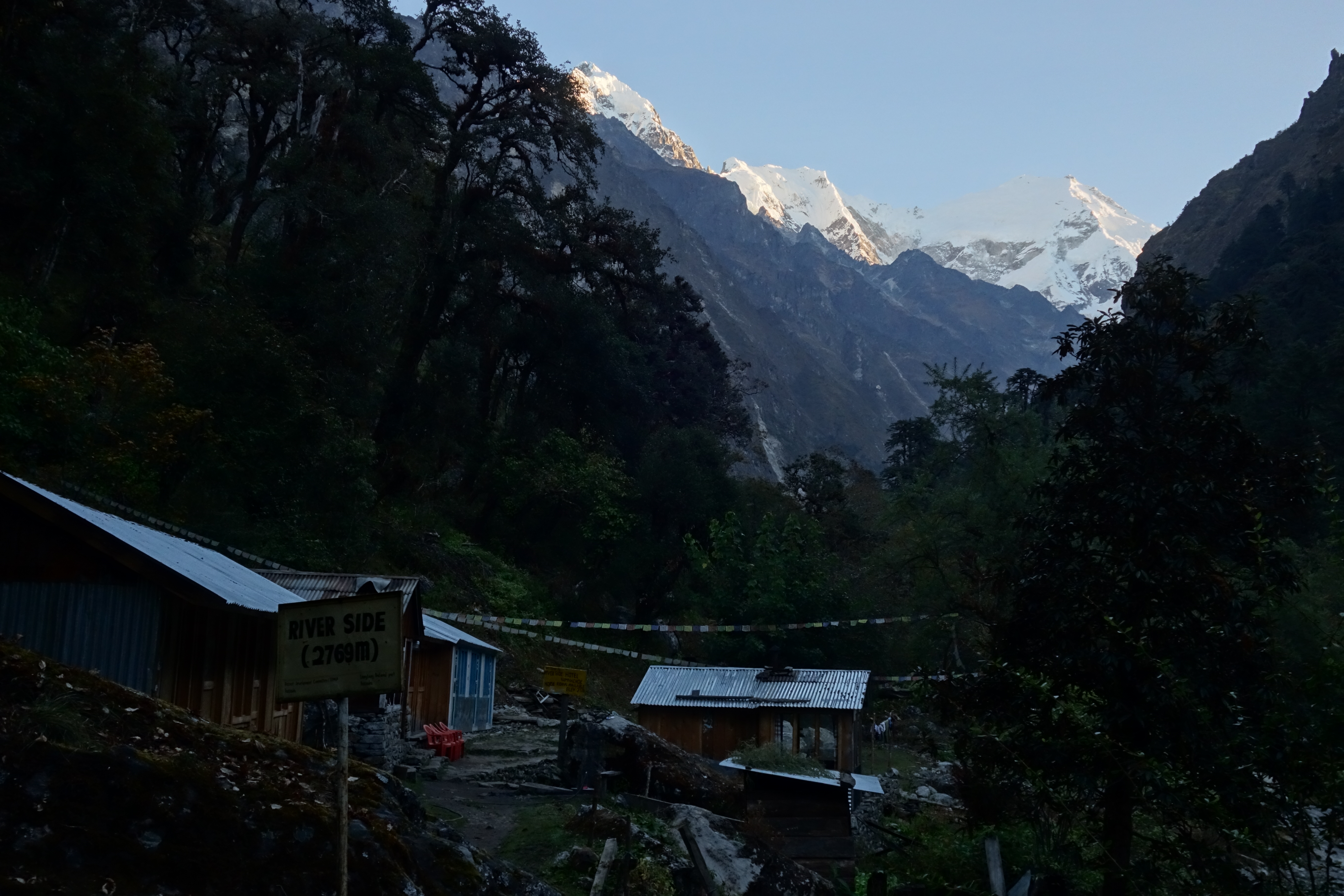
Early morning light on Langtang Lirung from the Riverside guest house.
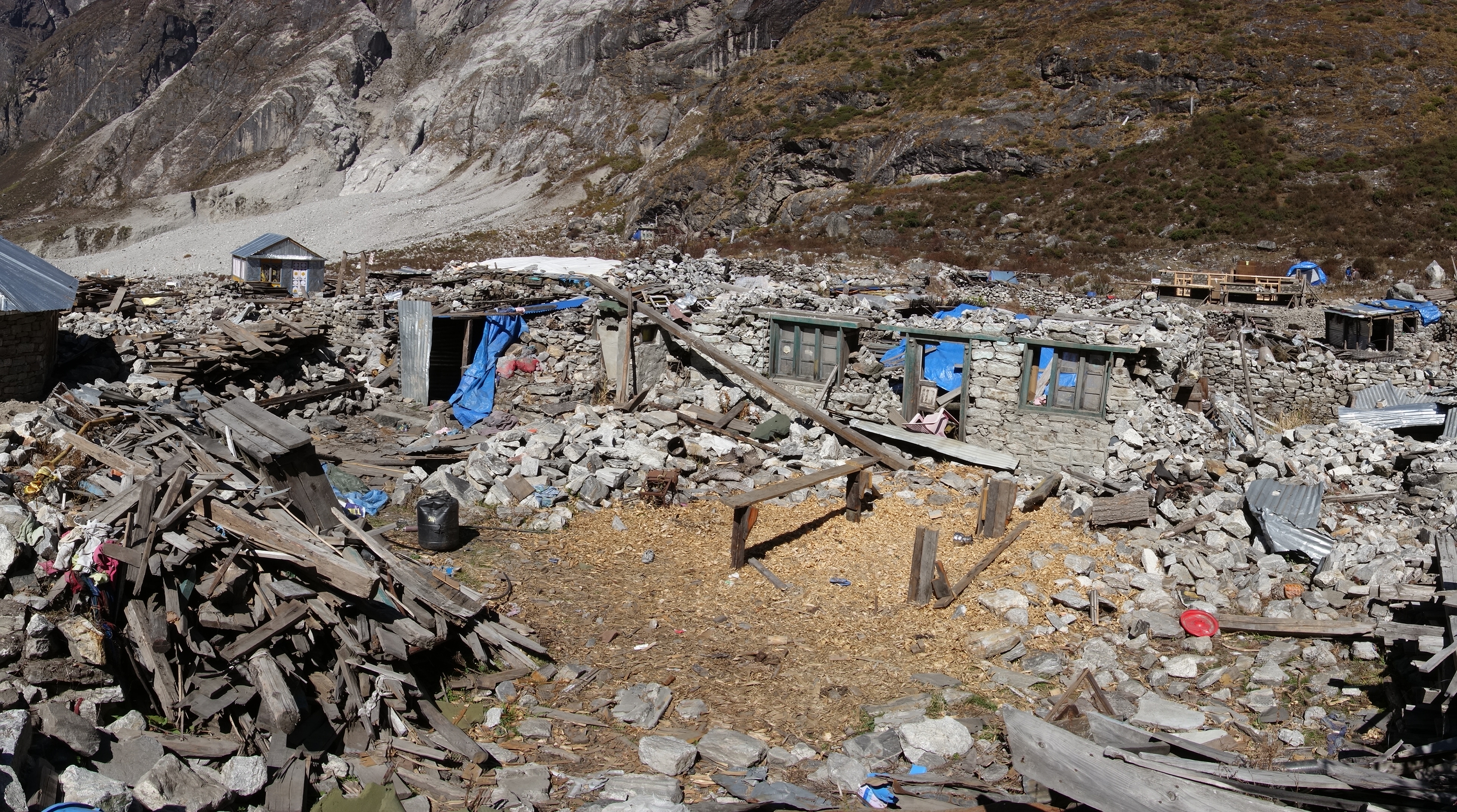
Earthquake ravaged Langtang, much still lies as rubble.

I awoke at sunrise to clear skies and views of Langtang Lirung looming above,  why hello there, ate and set off on the trail in shadow. I rolled passed several more tea houses finally reaching the avalanche at Langtang, where in 2015 half of the town had been buried under thousands of tons of rock. The village is slowly rebuilding, but less than half the structures have been fixed and many are still piles of rubble. I quietly slipped through and as I climbed higher in the valley views began to widen and the mountains got bigger…wow. I took a break at the village of Sidhum for some Seabuckthorn juice and talked with the owner about the slow rebuilding process, as several locals hammered away on his new guest house (previous one destroyed).

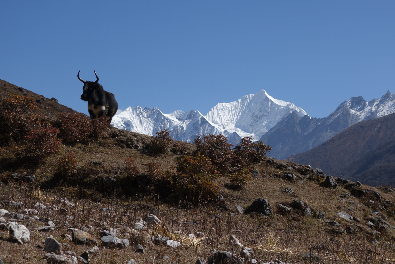
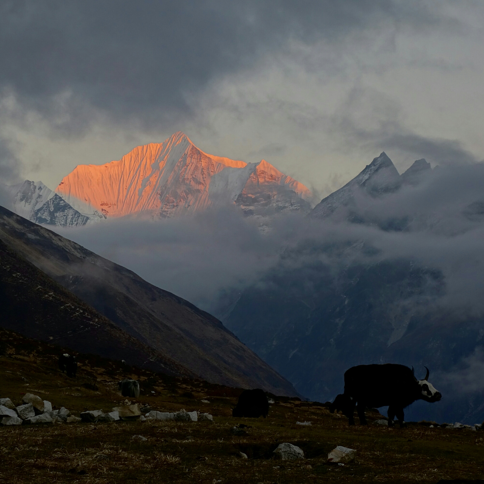
High mountain views and yaks on the way to Kyanjin Gompa.

img_20161101_170314.jpg

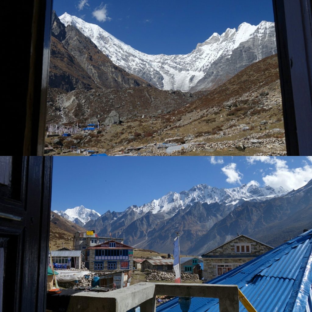
View out the back window and front door from my room at the yak hotel.

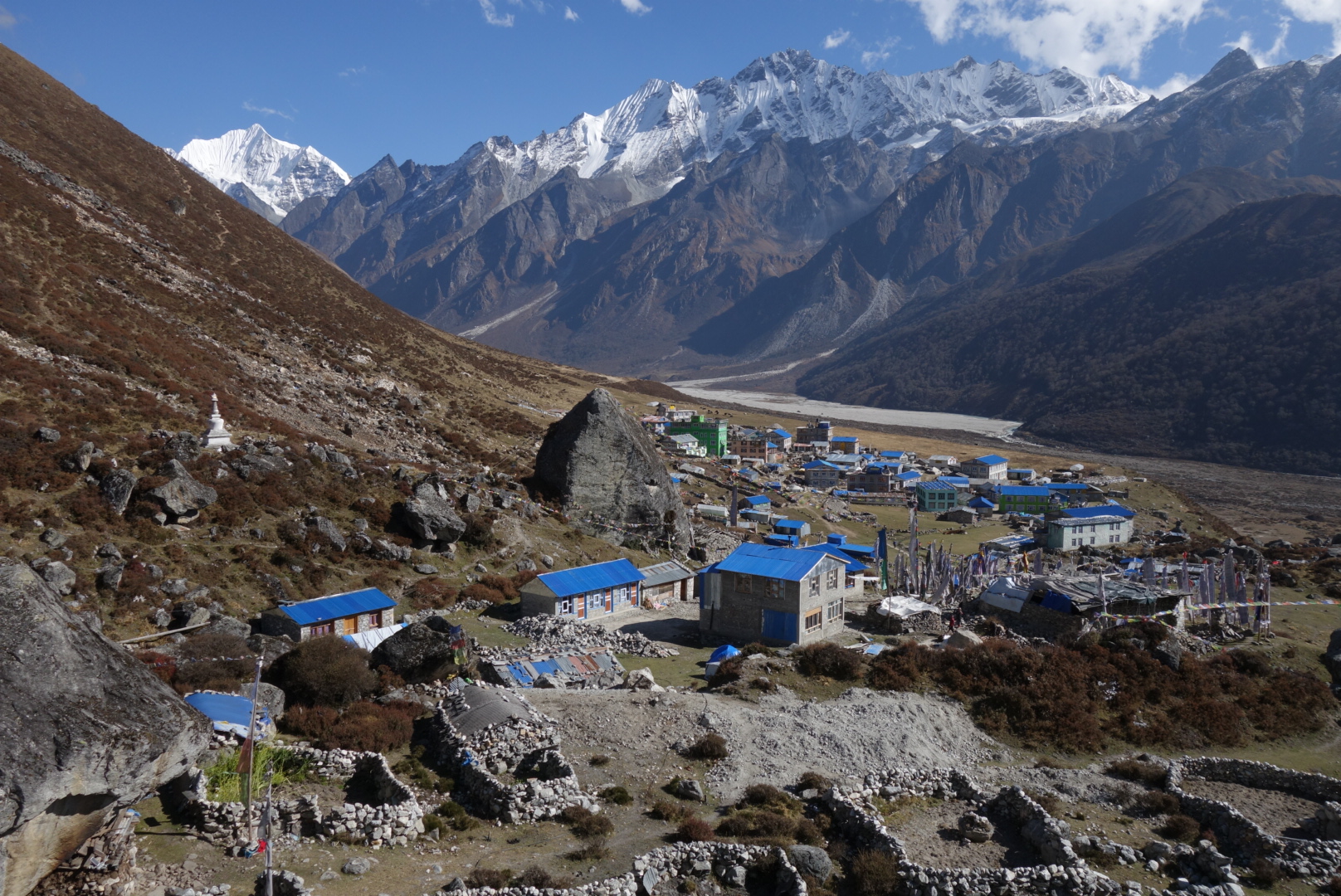
The village of Kyanjin Gompa.

Then it was off to Kyanjin Gompa where I was greeted by panoramic mountain views, prayer flags and desperate guest house owners. Within 10min of arriving I’d  already been offered and shown accommodations at five different places, when one woman showed me a room at the yak hotel with panoramic mountain views and said as long as I ate my meals there I’d stay for free, I couldn’t say no. So I settled in for two nights at my high altitude accommodations (3800m). Once again I sat with Pema and his family in the kitchen for dinner as I was the only guest in the 20 room hotel. After star gazing for a bit I again went to bed early.
I watched sunrise from the comfort of my sleeping bag, Langtang Lirung out the back window and Langshisha out the front,  wow. Pema suggested I go up Tserko Ri, as it had the best views in the area,  so I donned my running vest and warm clothes and set off for the nearby peak. After a short flat section it was the business, 1100m in 5km, topping out at 4984m high. The thin air was pretty crushing above 4300m, but I just kept slogging away reaching the summit just after 10am in 2:15. I’d had great views the entire hike up but was still awe struck by the 360 degree Himalayan panorama that presented itself. Besides being short of breath I felt pretty decent and spent over an hour up top chatting with two other parties and snapping photos. I finally gave in that I couldn’t stay up there forever so jogged back down the steep trail,  returning to town in just under an hour. I spent the rest of the day mingling with locals over a piece of cake at Dorje bakery, learning about the rebuilding procees and the troubles since the earthquake. Sunset arrived with more clouds, but they lifted just at the last minute revealing Langshisha bathed in lovely pastels. The trail up Tserko Ri, 1100m of relentlessly thin air.

Panorama from the summit of Tserko Ri looking west.

View from Tserko Ri looking east.

I even got to run a little bit. Downhill of course.

Sunset on Langshisha from the village.

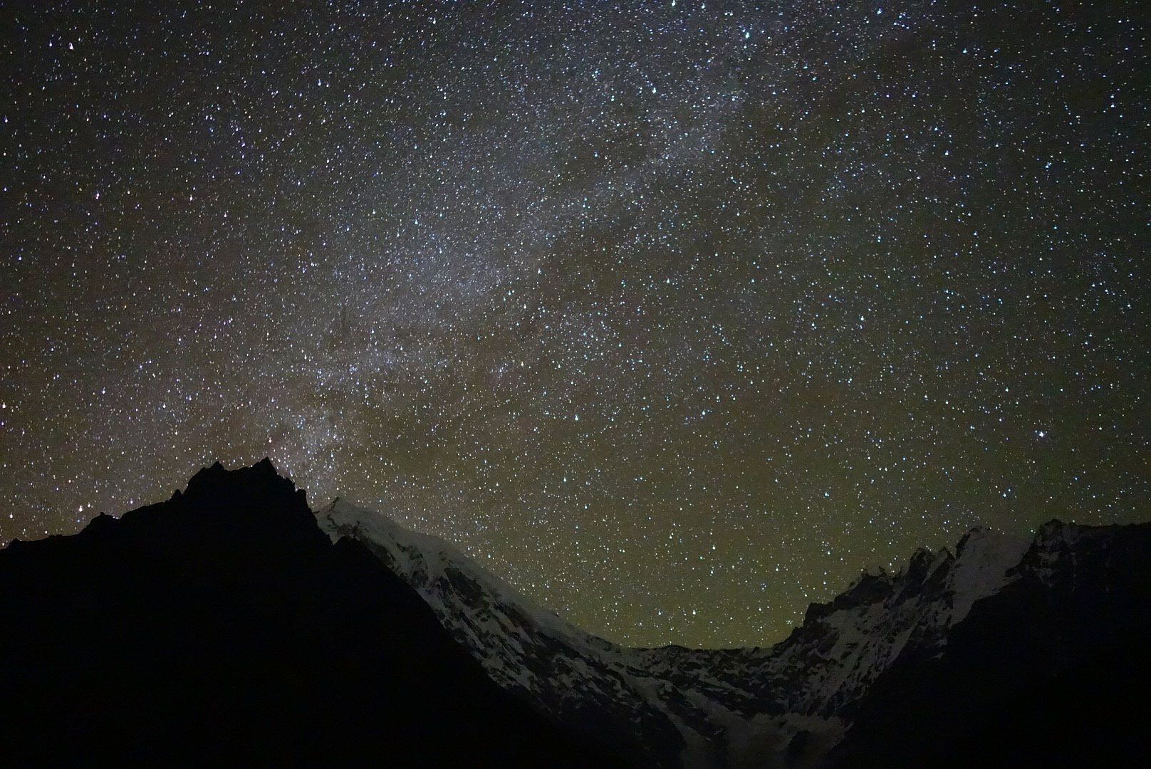
Clear and starry night sky able Langtang Lirung

The next morning I took a short jog into the basin below Langtang Lirung before breakfast, then bid my hosts farewell and headed back down the valley. As I walked down the valley I tried to process all the highs and lows of the past few days and to understand all the struggles these people had endured, and most still put on a smile. I stopped in Ghodatabela for lunch before continuing down to Lama Hotel for the night.

Early morning trail run. 

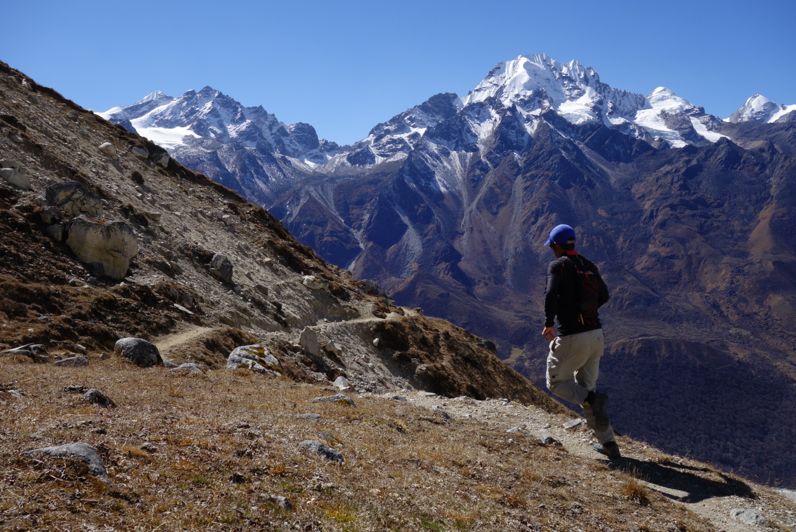
Views from the high route just past Sherpagaon.

Another quiet night, but this time I had a chance to chat with two other guests (from Germany and Indonesia). My final day on the trail I opted for the high route through Sherpagaon and was rewarded with wonderful views from this high trail carved into the side of the steep mountains before making my final precipitous drop down 1200m of switchbacks into Syrabrubesi. But the adventure was not finished,  oh no. It was Tihar, one of the biggest Hindu festivals of the year so there would be no busses for two days,  well damn. Thankfully I found a nice Nepali (nira I think) who got me a ride back to Kathmandu on the Jeep he had called. So we squeezed in the trunk (yes seats in the trunk) of the Jeep and sped off. Because of the festival there was no traffic on the road, and our driver took advantage, whipping around turns, flying over bumps so we’d catch air. Poor Nira got sick and I don’t blame him,  as we did the drive in just 4.5h. Safely back in Kathmandu I was able to relax and enjoy the Tihar festivities that were everywhere.

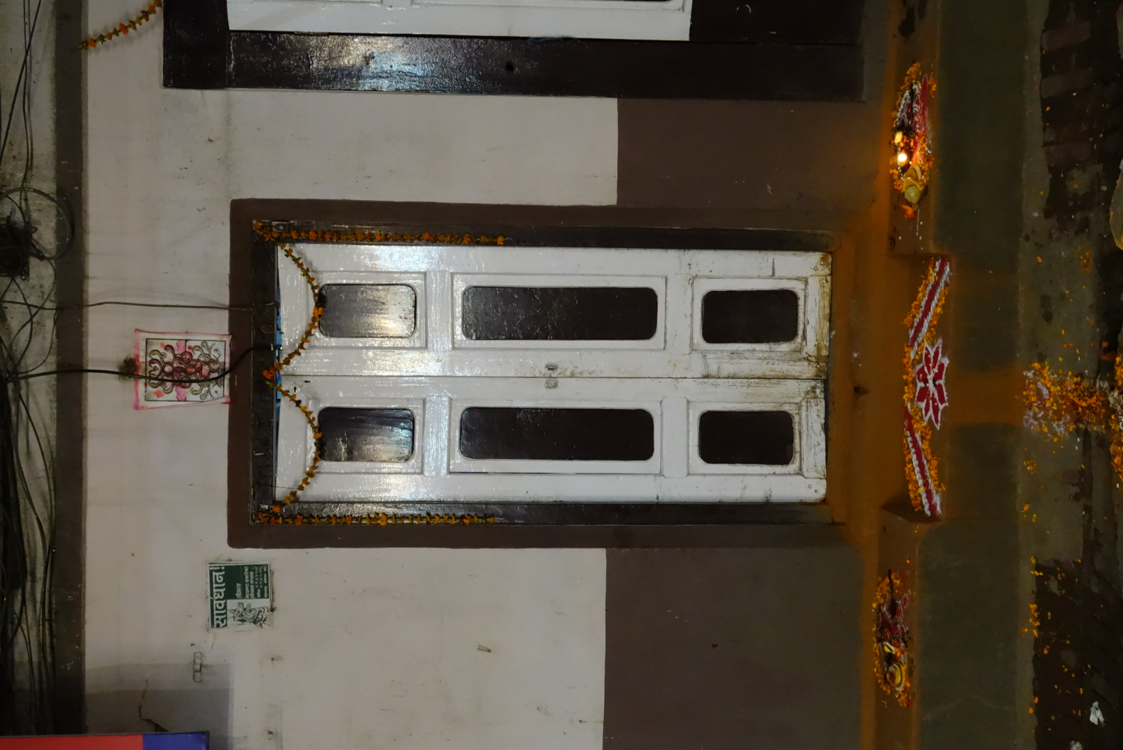
Happy Tihar. Lights and colored designs decorated all the doorways.

So if you’re looking for a tea house trek without the crowds, but with all the culture, mountain views and a little adventure, then Langtang is for you. Since the earthquake the valley had been very quiet,  even though the tall is open and plenty of infrastructure is available.  The people of the valley need the tourism and their valley deserves it. The feeling of desperation was evident among many of the people and it really breaks my heart. You want to help as many people as possible, but there is only so much one can do. For now I’ll leave you with all these photos and say that you need to visit this wonderful place for yourself. 

Ultrarunning the National Parks

As a boy I was fortunate enough to have a family that enjoyed camping and hiking, so we spent countless weekends wandering the Sierra Nevada Mountains of California. It was during that time that I gained a love for the outdoors, but it wasn’t until I rediscovered the mountains in my 20s that I gained a true appreciation for mountains that our predecessors had the foresight to set aside as protected land. And so began my love of the National Parks, a subset of protected lands meant to ensure some of the best natural wonders in our country are preserved for future generations.

Over the past several years my mother has put forth the goal of visiting all of America’s National Parks during her retirement, which got me inspired to start doing the same thing. The neat thing about America’s National Park system is they do not just preserve one type of natural wonder, but encompass a great diversity of terrain; from mountains to meadows, wildlife refuges, swamps, canyons, rivers, caves, volcanoes, spectacular rock formations, massive glaciers, towering forests and expansive deserts. This is what is so intriguing about the National Parks, the diversity of landscapes and uniqueness that sets many of the parks apart. So I’ve hatched a plan to outline and execute ultra distance runs in all (or as many as possible) of the National Parks. The purpose is to try and see some of the amazing sights each of these parks have to offer deep within their boundaries, but to do so in one incredible day. Often visits to the National Parks simply encompass a short driving tour with several stops at paved lookouts, but I think that misses what makes most of these parks so wonderful.

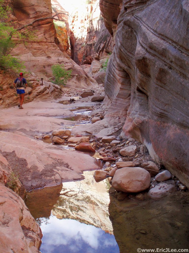
Cruising up the trail out of the Virgin River in the middle of the Zion Traverse (May 2009)

Cruising up the trail out of the Virgin River in the middle of the Zion Traverse (May 2009)

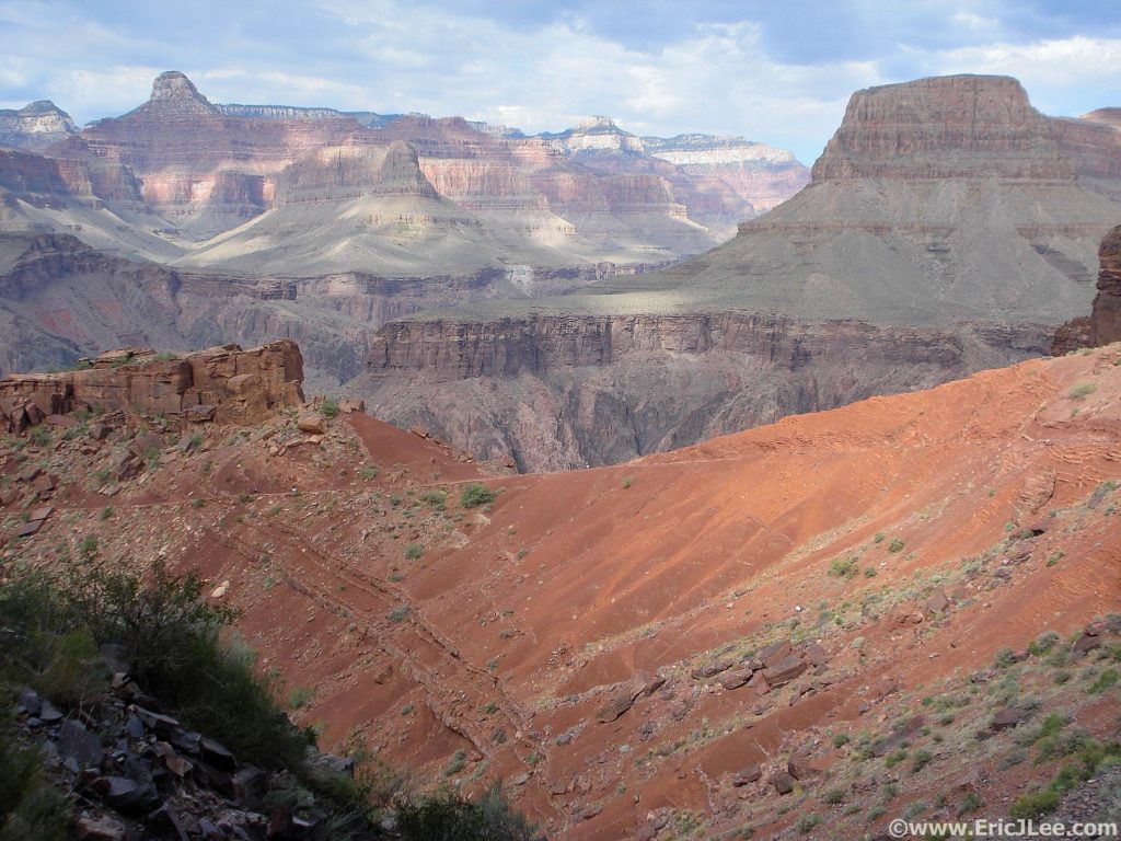
Looking down the South Kaibab trail across the Grand Canyon during a R2R2R run (Oct 2010).

Looking down the South Kaibab trail across the Grand Canyon during a R2R2R run (Oct 2010).

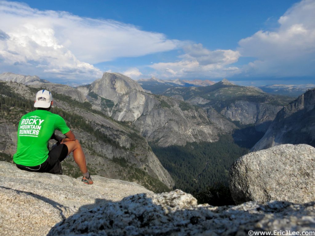
Pausing atop El Capitan to take in the Yosemite Valley during a 64mile circumnavigation of the Valley rim (July 2015).

Pausing atop El Capitan to take in the Yosemite Valley during a 64mile circumnavigation of the Valley rim (July 2015).

So far I’m only four parks into this long term project, but am excited for the prospects of where it might take me in future years (many years). Surprisingly I’ve already mapped out ultra distance routes in 50 of the 58 National Parks, more than I’d expected was possible. Some of these routes follow classic lines such as the Bryce Canyon’s Under the Rim Trail while many others are creations of my own design, with assistance from locals of course. So far my completion list includes the Grand Canyon Rim-Rim-Rim, Zion Traverse (W->E), Yosemite Valley Rim Circumnavigation, and the Grand Teton Circumnavigation that I completed this past Monday. All have been fantastic adventures and full of amazing scenery deep within the backcountry of each park. The goal is not to set an FKT (unless it’s a First Known Time), but to enjoy and experience each park in a very unique way.

Sunset on the Tetons with a little smoke hanging in the air 9/11/16.

Sunset on the Tetons with a little smoke hanging in the air 9/11/16.

This past week I made a quick foray up to Grand Teton National Park for a run of the Grand Teton circumnavigation. I started from the Lupine Meadows TH just before sunrise in a dense cloud of smoke from the Berry Fire that had flared up the day before. As I ran south along the valley trail toward Death Canyon the smoke obscured views of the Tetons looming overhead. Suddenly a loud crash echoed out of the forest ahead and I saw a black bear come storming across the trail in front of me, disappearing as quickly as it appeared. Five minutes later another explosion in the forest and a massive bull elk came bounding through the woods. The sun finally rose through the smoke as I started my way into Death Canyon, its massive walls towering overhead as I finally descended deep into the park. After a short jog up Death Canyon I hung a right onto the Alaska Basin trail and began the long uphill grind. The fall colors were lighting up the underbrush; yellows, oranges and reds. When I finally topped out on the Static Divide I was treated to fantastic views down into Death Canyon and back down toward a smokey Jackson Hole. The air up high was clearing out and as I ran the high traverse across upper Alaska Basin, views into the Teton backcountry were quite expansive.

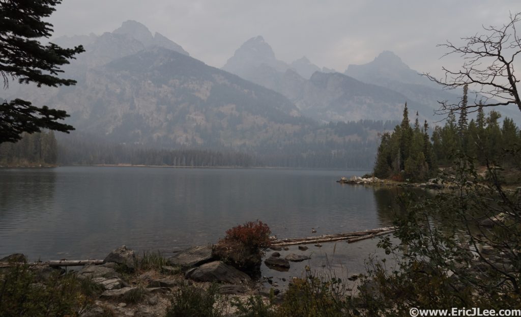
Smokey morning light on the Tetons over Taggert Lake, 9/12/16.

Smokey morning light on the Tetons over Taggert Lake, 9/12/16.

The Alaska Basin Trail as it climbs out of Death Canyon, 9/12/16.

The Alaska Basin Trail as it climbs out of Death Canyon, 9/12/16.

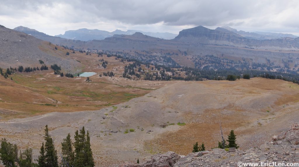
Looking back into Alaska Basin and at Sunset Lake, 9/12/16.

Looking back into Alaska Basin and at Sunset Lake, 9/12/16.

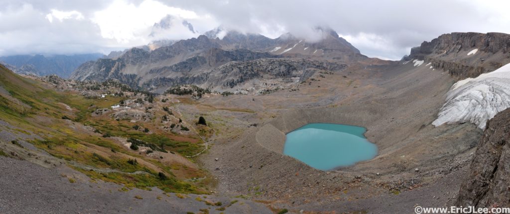
After a short climb to Hurricane Pass I was finally treated to an in your face view of the Tetons, shrouded in clouds. The receding Schoolroom Glacier and its mint green moraine lake to the right, the depths of Cascade Canyon far below. This one moment is what makes this route so magical. I then descended the trail back into Cascade Canyon, opting to run the shorter loop that would take me out the mouth of Cascade Canyon to Jenny Lake. Cascade Canyon, with its 3000ft high walls towering overhead and its gently cascading creek filling the valley with the sounds of moving water was a very pleasant way to finish the loop. As I neared Jenny Lake I slowly picked up more and more on coming traffic, though being September things had somewhat quieted down. The final few miles around Jenny Lake were fairly mellow and I was definitely pretty beat. With less than a ½ mile to the car I paused in a clearing and glanced over to see a moose munching away in the tall grass 100m away. This is what makes the National Parks so spectacular, not just mountains, lakes and trails, but the preservation of the natural flora and fauna as well.

View of the Tetons from Hurricane Pass with Schoolhouse Glacier to the right and Cascade Canyon to the left, 9/12/16.

View of the Tetons from Hurricane Pass with Schoolhouse Glacier to the right and Cascade Canyon to the left, 9/12/16.

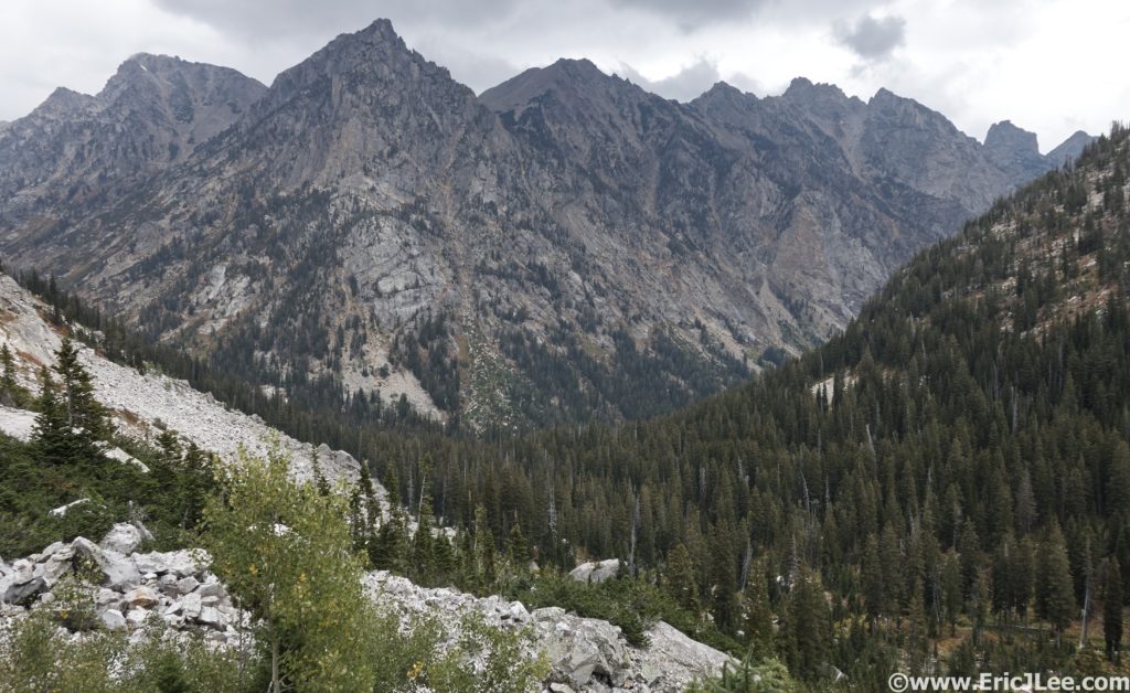
Upper Reaches of Cascade Canyon with towering peaks overhead, 9/12/16.

Upper Reaches of Cascade Canyon with towering peaks overhead, 9/12/16.

My loop of Death Canyon, Alaska Basin, and out Cascade Canyon had covered 34miles and 7400ft of vertical gain/loss, in 8hours 45minutes, not super fast, but a beautiful day out with lots of photos taken. For the more ambitious, one can add on the Death Canyon shelf trail (+4.7miles) and/or the Paintbrush Divide (+10.2miles, +3000ft) making for up to a 50mile loop. Any and all variations give you a spectacular look into what makes Grand Teton NP so magnificent. Sadly I wasn’t able to tackle my Yellowstone National Park run as the Berry Fire had closed the connecting highway, for another day I guess. This was my last big foray into the Rockies before leaving the country for 5-6months. Special thanks to Vfuel for supporting all my fun habits and the Pro-Leisure Tour (PLT) for giving me the time to wander the mountains and the world. Happy trails, until next time.

Weddings, Anniversaries and New Beginnings

No, not my wedding……Less than one month from today (on 9/21) I will catch my first of a series of one way flights, leaving behind Colorful Colorado. For some the idea of being jobless and schedule-less is no big deal, but for me it’s a pretty big departure from the life I’ve known for the past 16years. And I know I’m not alone in saying that the uncertainty of it all is a bit frightening. For the first time in my life I’ve purchased a one-way ticket without knowing exactly when I’ll be returning. On September 26th I’ll hop a redeye from LA to Taiwan for a one day layover before hopping over to Thailand where I’ll wander for a bit. I don’t know when I’ll leave Thailand exactly, but eventually I’ll be moving on.

I’ve always lived a busy life; but with work, training/running, friends and family it makes for a tricky balance and a lot of tight schedules. In less than three weeks the timing will slow and I’ll try and shift life to a ‘deal with it as it comes’ mentality. This past month I’ve had a small taste of life on the road, spending nine days of August in Hawaii and California.

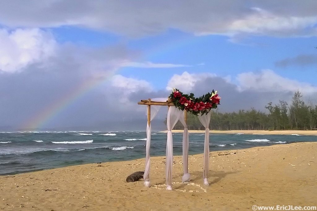
Hawaii wedding, complete with post-ceremony rainbow. Congrats Monica and Aileen!

Hawaii wedding, complete with post-ceremony rainbow. Congrats Monica and Aileen!

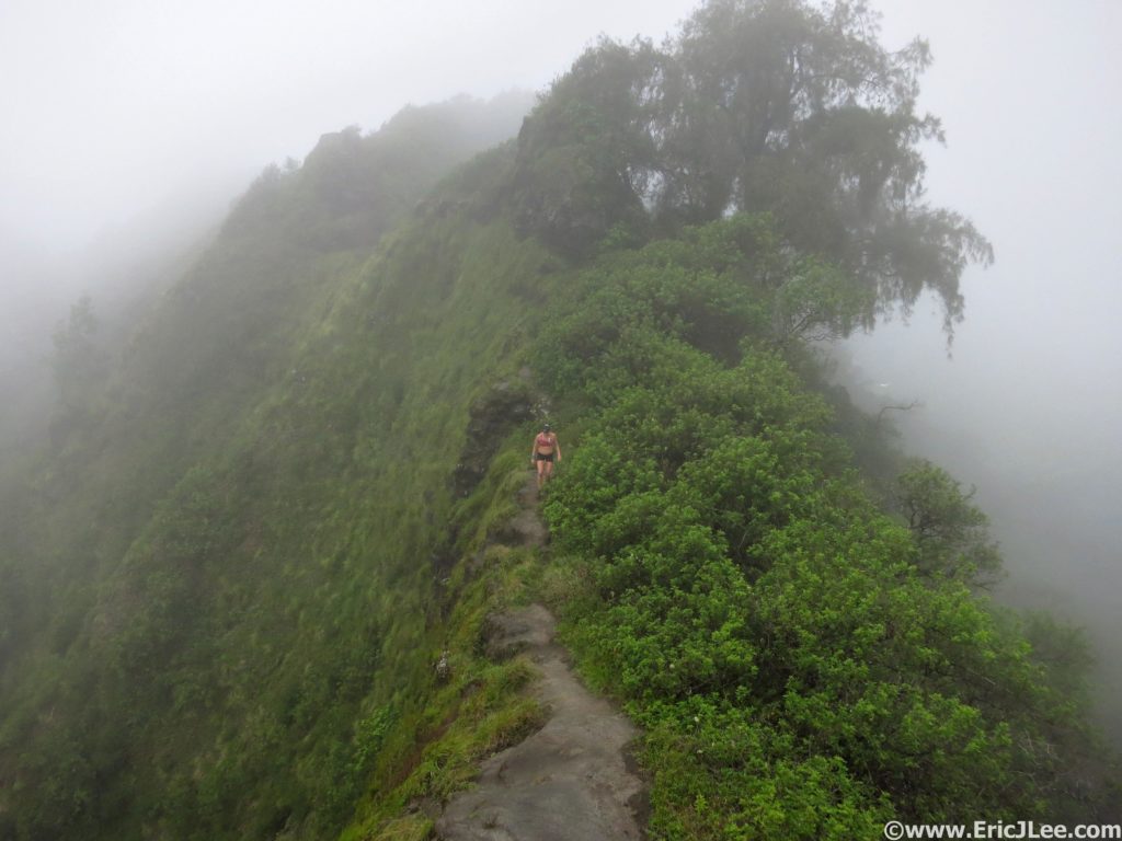
Running some volcanic ridges on Oahu with Malory.

Running some volcanic ridges on Oahu with Malory.

Exploring the Thousand Oaks (CA) "Backcountry" with Ben.

Exploring the Thousand Oaks (CA) “Backcountry” with Ben.

This month also marks another big anniversary for me, 10years of being in Colorado as of August 9th. One of the best decision of my life, and one I definitely do not regret in any way. The countdown is also on, I only have 13 more days commuting from Boulder to Aurora! Holy cow, after 6years I can’t express enough how excited I am to no longer be making that commute on a daily basis. But right now I’m really looking forward to enjoying the next month at home in Colorado with friends and hopefully lots of mountain time. So anyone who wants to get out, let’s plan something fun!

My first adventure as a Colorado resident back in August 2006 with Wes, Elk Tooth and Ogalala Peaks.

My first adventure as a Colorado resident back in August 2006 with Wes, Elk Tooth and Ogalala Peaks.

14ers, Rain Storms and Frustration

Surviving the Wilson Group

It was a dark and stormy night…..no really it was, several of them in fact. This is the story of my 2016 attempt to speed climb all of Colorado’s 14ers, short lived as it was.

Clouds beginning to gather above El Diente

Clouds beginning to gather above El Diente

The sun was shining as I bid my crew farewell at the Kilpacker TH and jogged off toward El Diente and 14ers #5-7. As I climbed high into the basin the dark clouds began to build and roll West to East right along the El Deinte/Wilson traverse. As I climbed past 12600ft the first thunderstorm rolled overhead, the hail began and the thunder grumbled. I paused for a few minutes, then continued up the snow toward the Organ Pipes, stopping twice more near some cliffs to let additional storms roll past. As I sat at 13600ft at the base of the Organ Pipes I realized I had two choices, make a mad dash for El Diente or turn tail and head back down…..I chose the former, and the race was on. I had approximately 45min before the next storm would hit Diente so I pushed it, touched the top and start to run (literally) across the traverse to Mt Wilson. I passed the Organ Pipes and made it to the class 4 notch. I turned back and saw the storm right over El Diente bearing down on me. I busted ass up the wet rock and across to the final scramble to Mt Wilson’s summit. The storm was almost on top of me, so I hurried to the summit block, touched the top….and that’s when it started….the rocks all around me began to buzz. Not a school lunch bell buzz, but a stereo speaker static kind of buzz….fuck. I’ve never moved so fast over rock, picked up my axe at the saddle in stride and ran down several hundred feet of scree to the nearest snowfield and hit it running. The run across the traverse had taken its toll though, as my airway was raw from running anaerobicly for so long.

Finally 800ft below the summit I was able to breath a little easier as the electricity was behind me and the pass and Wilson Peak appeared to be clearing. As I climbed back up toward Wilson Peak the clouds began to roll back in, I pushed on hoping they’d blow on by. When I reached the saddle at 13700ft just before the final scramble to the summit the rocks began to buzz again, so I high tailed it down the nearest gulley as the next storm dropped in. I curled up at the base of the cliffs 150ft below the ridge crest as a steady cold rain/hail fell and the clouds grumbled overhead. I was starting to shiver, it was getting dark, and I was stuck in a gulley on the wrong side of the mountain from the TH……I sat curled up against the rock for what felt like an eternity (probably 10-15min), when finally the clouds overhead appeared to lighten. I thought this may be my only opportunity to get off the mountain, so booked it back to the ridge to see a clear sky above Wilson Peak. I scrambled across the wet rock to the summit just as the last of the daylight faded away into darkness. I flipped on my headlamp and enjoyed a fairly mellow jog/hike back to the pass and dropped into Silverpick Basin.

As I descended into Silverpick Basin the road quickly disappeared into the snow, I was not expecting that. My brain was getting foggy as I descended into the basin, and I couldn’t locate the trail, and to make matters worse my headlamp started to flash low battery, threatening to strand me in the basin without a light. I climbed up and down the slope for half an hour in the dark until I finally had the sense to take a GPS bearing, locate myself on the map and make a B-line for where the trail should be…and there it was! I hit the trail about as hard as I could for the Rock of Ages TH as my headlamp slowly dimmed. When the gate for the TH came into view, I breathed an immense sigh of relief; I’d survived the thunder storms, losing the trail in the snow and the dying headlamp, now to do it all over again 51 more times.

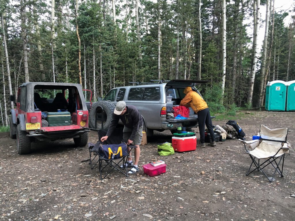
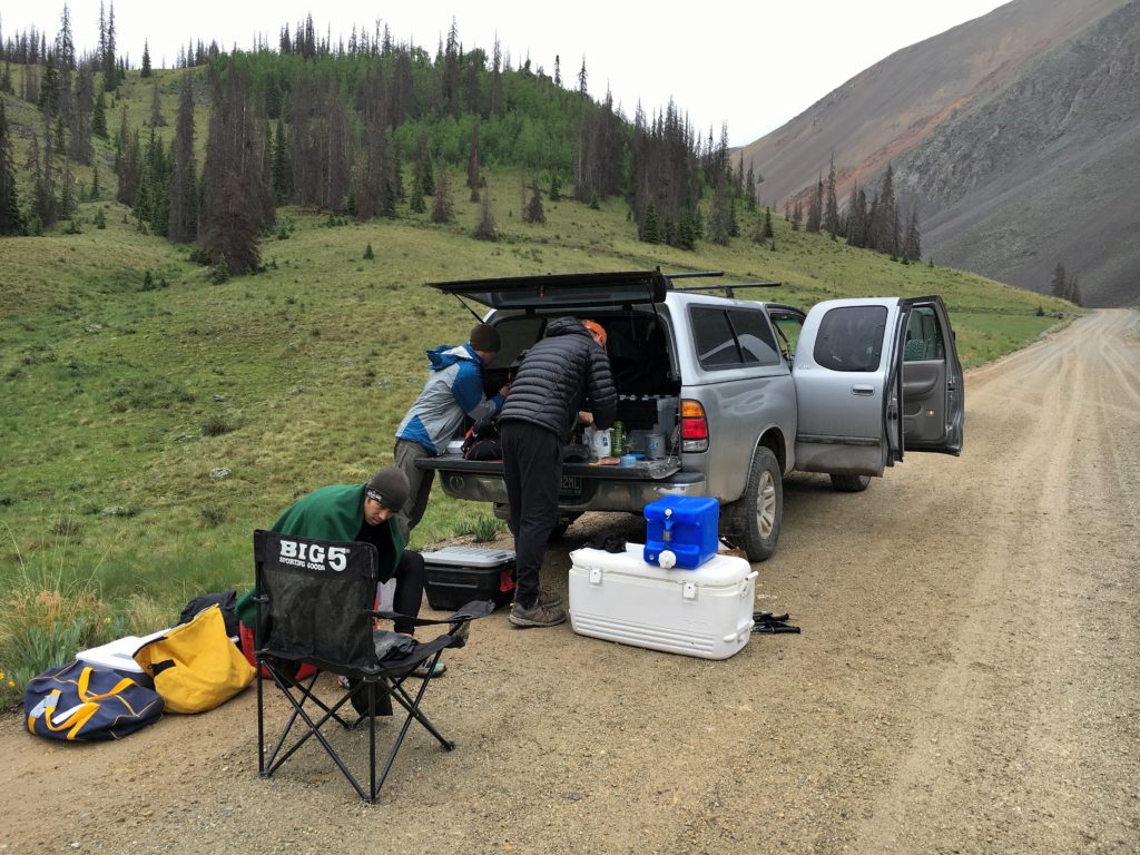
Crew sorting gear at the Rock of Ages TH awaiting my late arrival after the Wilson Group.

Crew sorting gear at the Rock of Ages TH awaiting my late arrival after the Wilson Group. Photo by Stephanie

The Weather Continues

The rest of the story isn’t very interesting, there was a lot of rain and hail, some thunder and lightning, occasionally a little sun and lots of wet and muddy feet.

The start in Chicago Basin went smoothly, I ran a little harder than was ideal up the canyon, but summitted Windom and Sunlight without too much trouble, just a little postholing. I then climbed the East couloir past Glacier Point and wallowed my way through waist deep snow up North Eolus, to Eolus and took my time walk/jogging back to the train stop, where the train was 45min late.

Sunrise from the top of Windom Peak looking into Chicago Basin.

Sunrise from the top of Windom Peak looking into Chicago Basin.

After a little route finding mishap on the way up Sneffels I managed to scramble my way up the direct South face (not recommended) to the summit and find the descent down the Lavender Col. As I descended the cloud dropped back over me and the rain and thunder returned, soaking me on the run back to the car.

Handies was shrouded in more mist and rain, thankfully no electricity this time.

The weather was a little unsettled and moist on Handies.

The weather was a little unsettled and moist on Handies. Photo by Jason.

Redcloud and Sunshine, the sun finally shown (some)! We enjoyed a nice hike up, descended the shortcut down the gulch, and then as I neared the TH a light rain again began.

Steve and I heading up , this was about as clear as it got.

Steve and I heading up , this was about as clear as it got. Photo by Stephanie.

Uncompaghre and Wetternhorn started out nicely, but as I descended away from Uncompaghre the rain dropped in, and it turned to a windy downpour soaking me from head to toe. I cruised over Matterhorn Pass to the Wetterhorn trail, where the rain became a light drizzle. The rock up Wetterhorn was still damp, but at least the rain had dissipated, making for a more pleasant run back to the TH.

San Luis was the first time I had to really battle the fatigue, with the last 1.7miles to the summit taking 1.5hours. Twice I laid down and slept for 10min, forgetting to set an alarm, but miraculously waking up on my own. I finally got some energy back on the descent.

Warming up and chowing down after a damp morning on San Luis.

Warming up and chowing down after a damp morning on San Luis. Photo by Stephanie.

The Audible

Due to the late hour (10am) getting off San Luis I opted to take on the Little Bear-Blanca group first then head to Culebra afterwards. So we drove over to Lake Como Rd to meet crew #2 for the ride up the bumpy 4wd road. We bounced our way up to 10300ft where we parked and started walking through Jaws 1,2,3. My friend Chris was to join me for this section. The weather was hot and sunny for our climb up to Lake Como, but as we climbed toward Little Bear’s West ridge the dark clouds began to gather. As we traversed toward the Hourglass the first thunderstorm rolled over, so we took shelter as the dark clouds rumbled overhead and a light rain fell. We did this two more times before reaching the base of the Hourglass to what finally looked like a clear window over Little Bear. We scrambled our way up the wet rock of the Hourglass to the summit, clouds all around, thunderstorms encircling Blanca and pounding the lower San Luis Valley. The traverse was a no go in these conditions, so we scrambled back down the Hourglass to the trail and headed up Ellingwood the long way. As we hiked up the valley, the clouds continued to gather and soon the entire valley was socked in and a steady cold rain soaked us. We soon lost the trail in the snowfields and talus of Ellingwood’s South face. We picked our way through the cliffbands and up into the fog (30ft visibility), finally reaching Ellingwood’s summit. I was starting to shiver and my gloves were completely soaked. We started our way across the traverse to Blanca, in the cold rain my hands went from just wet to stiff and numb.

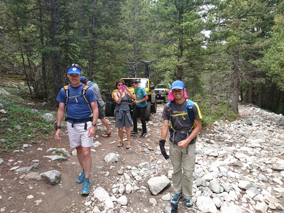
Leaving the jeeps behind and heading up Lake Como Rd. Photo by Chris Gerber.

Leaving the jeeps behind and heading up Lake Como Rd. Photo by Chris Gerber.

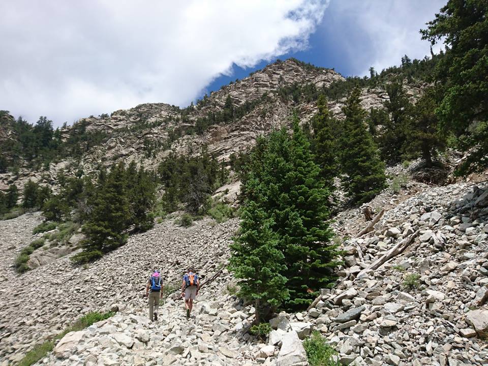
Chris and I headed up Lake Como Rd toward Little Bear. Photo by Chris Gerber.

Chris and I headed up Lake Como Rd toward Little Bear. Photo by Chris Gerber.

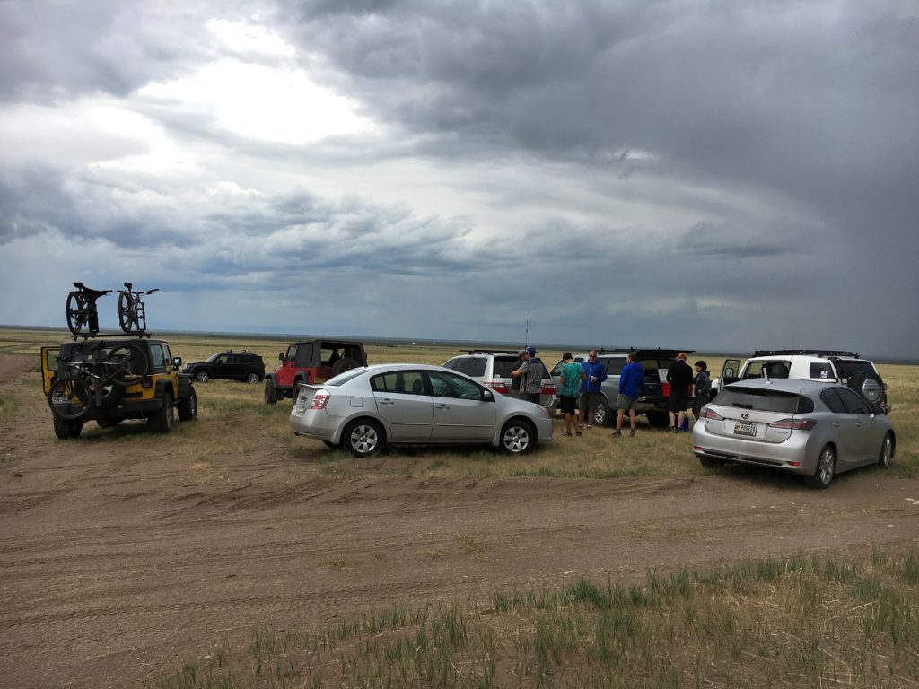
Crew #1 and #2 swapping gear at the base of Lake Como Rd as the storm clouds gather.

Crew #1 and #2 swapping gear at the base of Lake Como Rd as the storm clouds gather. Photo by Stephanie.

As we scrambled across the ridge in the fog I couldn’t stop shivering and my hands were not becoming any more useful. I had two choices and they both sucked…continue to Blanca and try to descend the Gash ridge (class 5) in the dark, rainy, foggy weather or turn down and head back to Lake Como Rd and throw in the towel. We continued on to the first cliff along the ridge, at which point we stopped to reassess the situation. Any other day the decision would be a no brainer, but today the decision to turn around carried a lot more weight. It meant that a 9day adventure would be cancelled, 6months of training would be for naught, dozens of hours of planning would be thrown out the window, and all the time and energy my friends had dedicated to helping with this project would be wasted. I shouted a whole slew of expletives into the fog, cursed the weather, cursed my frozen hands, apologized to my friend Chris and turned downhill to return to Lake Como Rd.


So What Next?

Angry, bummed, overwhelmed, dismayed, distraught, but mostly just frustrated. After the long walk of shame down Lake Como Rd, Chris and I met up with the crew to bed down for the night before dealing with the logistics of wrapping things up. I’d been 100% focused on trying to see how fast I could climb all of CO’s 14ers, and now, only three days in, it was over. I was a little fatigued, but my legs felt good and I had not even come close to my physical potential. I spent the next week just wandering the mountains and playing, enjoying not having an agenda, and ruminating on what was and what could have been.

It seems most people assume that since I left so much on the table that ‘next time’ I’ll get it….I’m just not sure if there will be a next time. This isn’t just a race you sign up for and go run, it’s something that one trains, plans and organizes for months and even then weather and snowpack can make it not feasible just like this year. How frustrated would you be if there was a decent chance all your planning and training would be for naught? Throw in the fact that it takes a significant commitment from friends giving up their time and energy, requires a large amount of vacation (for us working stiffs) and costs several thousand dollars to undertake, the decision isn’t so easy. So now I’m simply left to ponder the ‘what ifs’ of it all, no decision will be made (or needs to be made) until next year. The rest of the summer is now wide open, but rest assured there will be plenty of playing in the mountains, taking photos of wildflowers and 14000ft summits involved,  but no big races or projects for now.

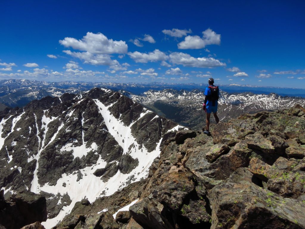
Standing atop Mt Holy Cross on what would have been Day7, a small consolation prize for having abandoned my attempt so early.

Standing atop Mt Holy Cross on what would have been Day7, a small consolation prize for having abandoned my attempt so early.

Training Summary (Jan-June 2016): 1,135miles on feet, 377,000ft vertical gain, 383hours on feet

A huge thanks to all my friends who gave up their time to crew and support me along the way; Steve, Stephanie, Chris, Jason, Donald, Chris G, Misti, Olan, Zeke, Chris F and Mark. Nate at FasterTracks for setting up a map by which to track my progress and Vfuel Endarance for fueling my attempt.

Colorado 14ers

Excited, anxious, nervous, scared you name it and I’m feeling it right now. All the planning, plotting, scouting are done and there is only one thing left…..just go for it. People ask me if I feel ready and the answer is no….but I’ve come to realize that you can never feel fully ready for something this monumental, you can’t plan for every eventuality, the weather most definitely will not cooperate, there will be some major adversity both on trail and off trail, but that’s the name of the game.

On Wednesday morning long before the sun rises I will leave the Needleton TH along the Animas River on a journey to try and climb all 58 of Colorado’s 14ers in record time, under 9days 21hours 51min. This entails climbing a 14er or group of 14ers, returning to a trailhead, then having my crew whisk me away to the next TH while I eat and sleep, then I’ll do it all over again. There is no camping, there are no ‘breaks’, once the clock starts it’s a non-stop race to get to Longs Peak (last 14er).

For those looking to entertain themselves at the expense of my suffering I’ll be carrying a Delorme tracker for the duration, the direct link can be found at…

https://share.delorme.com/EricLee14ers

The backup tracking unit is my SPOT…

http://share.findmespot.com/shared/faces/viewspots.jsp?glId=0OAtCT8qdLKi1s8uq3teYDliV8FmoqcMs

Additionally my friend Nate from Faster Tracks has setup a tracking sight at…

https://www.fastertracks.com/track/colorado-14er-speed-record-attempt/ericlee

Hopefully my crew will also be able to post notes and photos along the way to the Faster Tracks sight.

I have no clue how this is going to go, but it’s going to go. A huge thanks to my crew and friends who have dedicated their time and energy to even make this madness possible. Without a dedicated crew one can’t even attempt this crazy record. So as of 2pm on Tuesday 6/28 I go into radio silence, and become no more than a blinking dot on a map to most of you….see you in ten days.

Feeling small admiring the beauty of the Elk Range from afar atop Cottonwood Pass.

Feeling small admiring the beauty of the Elk Range from afar atop Cottonwood Pass.

Making Lemonade out of Rotten Lemons

Warning: Bitching, moaning, and overall 🙁 ahead.

Lying in bed with a headache, chills, and feeling overall shitty for the second week this spring….not how I expected my training for the 14ers record to go. I think whenever any of us make big plans we have an ideal plan of how things will go; we’ll get in plenty of training, we’ll feel mostly strong doing so, and all the logistics will come together for our big event. Well, surprise surprise, that rarely happens. I was feeling good after 11 laps on Green Mt in 19h and an overall strong winter when bam, I came down with the flu for a week. No sooner had I recovered from that when some nasty hay fever kicked in and I was coughing and spitting up mucus 24/7. Just when I thought training was getting back on track I got hit with a rhinovirus, taking me out for another week. As I sat at home pouting, wrapped in a blanket when it was 85F outside, I decided I needed a walk, no matter how bad I felt.

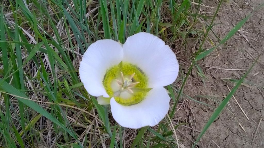
Mariposa Lily, seen during my slow sickly walk.

Mariposa Lily, seen during my slow sickly walk.

As I slowly strolled along the trail the humidity of an afternoon thunderstorm clung to my skin, the rustling of the grass and the chirping of crickets tickled my ears, and I was even able to stop and enjoy the flowers blooming in the meadow. I realized, that my woah is me attitude didn’t really do me any good, and that I still had a lot to look forward to. My health would improve, hopefully my bad luck streak would end, and I’d be back to enjoying all the amazing things in life. Sure my training for the 14ers record attempt has not gone as planned, but it does no good to dwell on what could have been. I’ve always tried to live in the present and for the future, though admittedly sometimes I need a reminder. My job now is to do the best I can with what has happened, and take everything one day at a time. So here’s to a healthy next three weeks and a renewed appreciation for all the things big and small in life. I hope everyone else can too.

The Silly Things We Do

This past weekend I hiked/ran 11 laps of Green Mountain in Boulder. It snowed, my feet were wet and cold, my legs were tired and it was hard. The story is kind of boring so that’s about all I’ll say about that. As Jason and I headed up my 11th lap around midnight he relayed that his daughter had asked him why his friend Eric was hiking Green Mountain so many times, to which is his only response was, ‘for fun’. The mind of a child is wonderful, she wasn’t questioning if it was possible or calling me crazy, she just wanted to know why, fair enough.

In this case the specific ‘why’ is that Green Mountain is one of my backyard peaks, I had a strong urge to get in a big day of vertical, it was logistically easy to self-support all day long and it allowed an easy opportunity for friends to come out and join me (and they did!). But really that’s way too complex of an answer and while it speaks to the ‘why’ of the single moment, it doesn’t speak to the ‘why’ of the bigger picture. Endurance sports are painful, exhausting, take up tons of time and can even tear us down into raw and exposed emotional states, so really why do we do it?

One of my 11 summits of Green Mountain on Saturday 4/30, it was a long day. Thanks to all the friends who joined me in the snow and slush,

One of my 11 summits of Green Mountain on Saturday 4/30, it was a long day. Thanks to all the friends who joined me in the snow and slush,

While there isn’t just one answer to this question, it’s still an interesting one to ask yourself now and again. For me personally it’s the challenge, camaraderie and underlying insecurities (These may not be your reasons). Sure one could avoid the pain and suffering that comes with an endurance event, but for those of us looking to push our boundaries, how can you really know what you are capable of until you hit that edge, crash and burn and are forced to drag yourself across the finish line tattered and broken? In this challenge you learn so much about yourself, not just physically, but mentally and emotionally as well. The camaraderie is something that sets ultrarunning in particular apart from many other similar pursuits. To the outside world running may seem like a very individual activity, but ultrarunning in particular takes much more support and teamwork than one would imagine. Very few runners will run and/or complete a 100mile race without crew and pacers, training often encompasses long days on the trails with good friends, and even during those tough times of injury and defeat it’s our friends that help us through. Just like in life, camaraderie and friendship make the insane challenges we take on possible.

One of the few 'runnable' sections on the way up Green Mountain, it was a tid bit snowy. Photo by Andy Gisler.

One of the few ‘runnable’ sections on the way up Green Mountain, it was a tid bit snowy. Photo by Andy Gisler.

Now on to the last of my three answers, underlying insecurities, something that may not apply to everyone, but I bet many of you are also afflicted by this even if it’s hard to admit it. At some point in life everyone has been told they’re not strong enough, not fast enough, not smart enough or just plain not good enough for whatever the pursuit may be. This negativity can be taken in two ways; one can be discouraged such as to not put themselves out there for fear of failure, or one can harness the short comings to make themselves better and push themselves harder. Me, I hate being bad at things and when I’m pushed I tend to push back. There have been plenty of things in life that I’ve either failed at or not been wholly successful, but that doesn’t mean you can’t strive to be better and to find that something you are really good at. Failure shouldn’t be depressing; it should be inspiring, motivating and a learning experience.

19hours later I decided I'd had enough Green Mountain for now. Photo by Jason Oliver.

19hours later I decided I’d had enough Green Mountain for now. Photo by Jason Oliver.

So Why? Because I can, because I want to, because I need to, but mostly because why not? If you don’t put yourself out there you won’t ever really learn the answer to that why. But now to the real reason for my madness. As most of my friends know by now I like to hike/run/climb mountains, especially really high ones. I completed Nolans 14 in 2012, but in the back of my mind there has always been the question of whether I could hang with the big boys on something much more committing. So after several years of learning routes, doubting my capabilities and being afraid of the enormity, I’ve decided to take a crack at the supported Colorado 14ers FKT for speed climbing all 58 14,000ft peaks. The record was broken just last year by Andrew Hamilton and stands at 9days 21hours 51min, or approximately six 14,000ft peaks each day for 10days straight, let that sink in…..

While I feel like my skill set lends itself well to this challenge, I’d be lying if I said it didn’t scare the dickens out of me. It’s a massive physical, mental and logistical undertaking, fraught with uncertainties, endless unpredictable variables and innumerous opportunities for pain and suffering, what’s not to like right? So obviously planning and training are already in full swing, more to come on the specifics of my attempt as the target start date of June 29th draws near. Thanks to Vfuel for keeping me powered through all these crazy long adventures and to all my friends out there for supporting my horrible need for self-approval that is endurance activity. For now, run fast, run healthy, but mostly run happy.


Distance Elevation Gain Time
11 laps of Green Mt 45miles 25,700ft 19hours 15min
Lap Times 1:35, 1:27, 1:29, 1:31, 1:29, 1:33, 1:40, 1:41, 1:40, 1:45, 1:58

When is it too much?

As endurance athletes we make our living (recreationally for most) off pushing ourselves to and beyond our limits. But in the past several years many of us have become all too familiar with terms such at OTS (OverTraining Syndrome) and Adrenal Fatigue, many of us even know someone who may have struggled with this in the recent past (or present). There are countless good articles discussing these issues, so that’s not my purpose here, rather my intention is to discuss the culture that leads many down this nasty spiral of over training and into months, if not years of recovery.

Finish line of the Gorge Waterfalls 100k, 12:54

Finish line of the Gorge Waterfalls 100k, 12:54

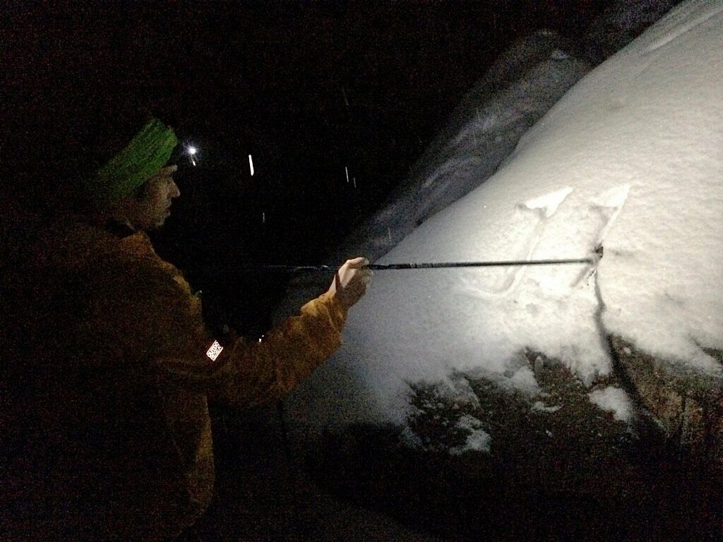
11 days ago I ran and finished the Gorge Waterfalls 100k race in Oregon, I was tired, a bit sore, but no worse for the wear. I’ve found over the past several years that my body seems to recover pretty well from long distance races, so wasn’t too surprised when the following Tuesday (3days later) I was back on the trail headed up the second flatiron for a jog/hike. The legs felt ok so I got out again Wednesday, then Thursday and when the weekend rolled around plans for a mellow ski snowballed into a possibly epic ski mountaineering route around Longs Peak; including some 5.4 climbing, lots of rock hopping with ski gear, and possibly 7500ft of vertical gain, oy.

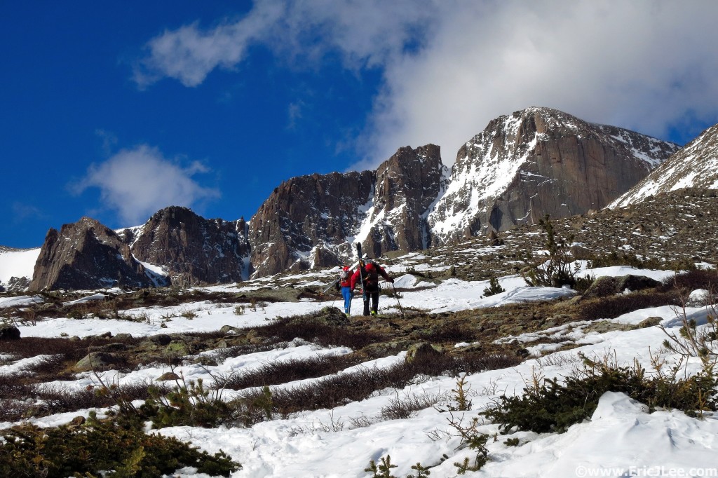
Headed toward Longs Peak, 4/9/16.

Headed toward Longs Peak, 4/9/16.

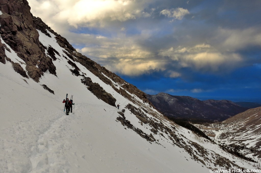
We started skinning up the Longs Peak trail just after sunrise on 4/9/16 (one week after running a 100k race). I felt alright, but as we climbed higher and higher my legs began to feel like lead, my stabilizers were shot and I felt wobbly on the rocky terrain hiking in ski boots. The entire day was a slog for me, extremely fatigued, barely managing 1mph much of the time, and just feeling like crap. It was pretty apparent that I was not recovered from Gorge Waterfalls, but had no choice but to finish the route, so 13hours later (note, 14mi took longer than my 100k) I staggered back into the Longs Peak parking lot, completely wasted, so much so that over the next two days all I did was sleep and walk 3miles quite slowly. Special thanks to Jason, Andy and Dana for sticking out this long slog with me.

Sunset as we descend away from Longs and Chasm Lake back to the TH, 4/9/16.

Sunset as we descend away from Longs and Chasm Lake back to the TH, 4/9/16.

So the endurance athletes out there might be saying, “so what, you had a bad day” and that’s what our sport(s) is built on, but at what point is it more than a bad day, and really just a bad idea? In ultra distance running the mental ability to push through pain, to weather the highs and lows and to keep yourself going when most in this world would quit is really what separates many finishers from DNFs. But it is also this incessant drive to fight, struggle and suffer that gets so many in trouble. Terms such as FOMO (Fear of Missing Out), YOLO (You Only Live Once), ‘pain is temporary, glory last forever’, and ‘sufferfest’ are often thrown around by well meaning friends and training partners to help motivate others to get out and push through the pain. While this encouragement is a necessary part of success, especially in 100milers, I argue it’s also what leads many into over training territory. Combined with the fact that many of us know only one thing…physical activity, you have a ticking time bomb just waiting to go off.

When you need a nap, you need a nap. 2010 Wasatch 100 Pete decided 500 yards from the Ant Knoll AS he was sleeping, 10 seconds later he was snoring.

When you need a nap, you need a nap. 2010 Wasatch 100 Pete decided 500 yards from the Ant Knoll AS he was sleeping, 10 seconds later he was snoring.

But the real question is, when does pushing your body no longer become beneficial, but rather detrimental. This is exactly what I was asking myself the day after my Longs Peak debacle, and trying to understand if the signs were simply indicating short term fatigue, or if there was a larger underlying issue creeping in. Sadly the answer is, I don’t really know. There are various metrics such as heart rate, blood work, sleep patterns, etc that can help address fatigue, but what it comes down to is you really just need to listen to your body, and do so very carefully. Building in rest week (40+miles/wk is NOT rest) during big training cycles, rest months (or two) during the off season where you do limited cardiovascular activity, and really taking the time to take care of your body during those harder training weeks are probably the key. As the scientific community learns more about over training, we may have our magic biomarker to indicate when it’s happening, but for now the endurance athlete (me included) needs to remember to take a break every now and then, you’ll be better off in the long run.

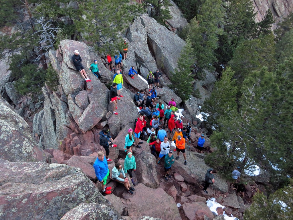
Inaugural Salomon Run Club group run, 4/5/16.

Inaugural Salomon Run Club group run, 4/5/16.

Last week’s training cycle was supposed to be for rest post-Gorge Waterfalls, but does 19hours on my feet with 12000ft of vertical gain sound restful…I didn’t think so. Thankfully after several days of hard rest and recovery I’m feeling much more normal, but as I ramp into bigger training cycles there will definitely be this seed in the back of my mind…don’t overdo it. In the ten years since I started ultra distance running, 12 years of competing in ultra distance events, I’ve managed to avoid over training issues (plenty of aches and pains though), but have also watched many a friend fall down this rabbit hole. Sorry I can’t provide you any definitive answers, but maybe the ramblings of my brain will sound familiar to your personal struggles or your friend’s. So I hope everyone has a wonderful rest of the week, get in some great trail/rock time, but also listen to your body about what it truly needs, sometimes that’s activity, sometimes it’s a good acupuncture session, sometimes it’s a soak in the hot tub, but sometimes it’s simply rest. Thanks to Vfuel for helping to keep me energized throughout training, and all my friends in the Rocky Mountain Runners and Boulder Trail Runners for sharing many a long day with me. Run fast, run healthy, but mostly run happy.

A few articles for further reading on the topic if you so desire…

Dark side of Fitness, 5280

Overtraining Syndrome, Sports Health

Are you overtraining?, Runners World

Gorge Waterfalls 100k

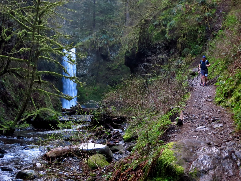
“I’ve determined running is stupid…” I most definitely said that around mile 50 of the 2016 Gorge Waterfalls 100km run. This was to be my only ‘race’ of the year, and while I was in good shape, I was definitely not in peak running shape, which led a pretty impressive deterioration of my mental state throughout the day. This report will delve a bit more into my psyche than talk about the race course, which was beautiful. If you’d like to get a feel for the beauty of the Columbia River Gorge trails check out some of the photos or my race video linked at the bottom.

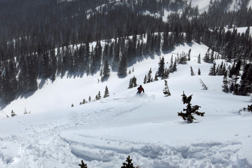
Great running training right? Skiing Arapahoe Lakes two weeks before the race, 3/19/16.

Great running training right? Skiing Arapahoe Lakes two weeks before the race, 3/19/16.

I don’t think I have ever entered a long distance race (>50km) with less race specific planning than I did for the 2016 Gorge Waterfalls 100km, and if you know me, you know I love my logistics. Four days before about all I knew was that it was near Portland, Oregon, it was 100km long, and was on mostly runnable trails. I couldn’t have told you where the trails were exactly, how many aid stations there were, heck I didn’t even know what time the race started! So I simply threw a whole bunch of stuff in my suitcase then on the plane flight out took a glance at the course and race logistics to devise some semblance of a plan.

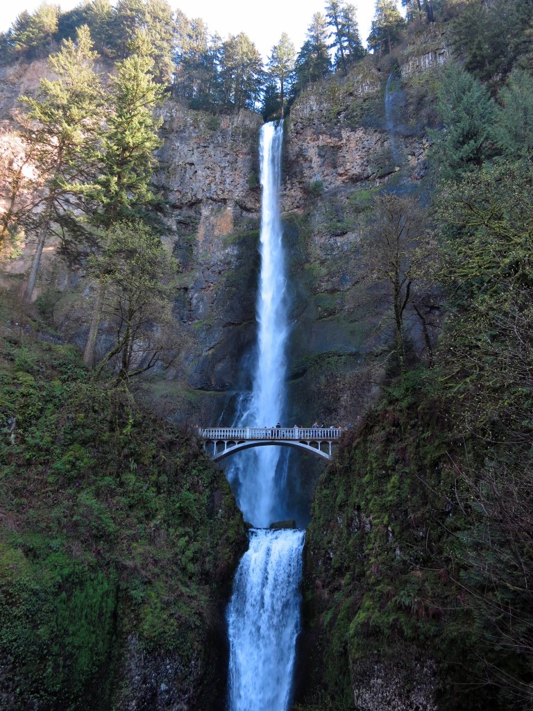
Multnomah Falls during our pre-race warmup, 4/1/16.

Multnomah Falls during our pre-race warmup, 4/1/16.

We (a group of Rocky Mountain Runners) arrived in Portland just before midday Friday, so after grabbing a quick lunch we drove out to checkout the course and to see some waterfalls. We had lucked into one of those weather windows that only visits the PNW on rare occasions, so tromping around the sun-soaked lush green forest to the top of 620ft Multnomah falls seemed other worldly. The stoke was high and all of us were excited to run the whole course the following day.

The alarms buzzed at an all too early hour (3:50am) and after the standard morning rituals we made our way over to the start line at Benson State Park, got checked in, then just milled about for the next 45min. We were all in good spirits and just ready to get moving, so when James sent us off at 6am we were relieved to channel our nervous energy into something productive, moving forward. My initial race plan was to take it fairly easy overall and just enjoy the course, so I trotted off at a casual pace somewhere near the middle of the pack. As the sun rose the roaring that was once hidden by darkness was exposed for the beautiful cascades that they are. I jogged along snapping photos and taking video, not thinking much about the pace.

Wiesendanger Falls, one of many in the first 5miles of the course, 4/1/16.

Wiesendanger Falls, one of many in the first 5miles of the course, 4/1/16.

As I cruised through the first two aid stations (No Name and Yeon) it became apparent I was moving way faster than I’d intended, but it felt good so I just kept cruising along. Surprisingly, I found myself mostly running alone after the first 15miles, though I guess this is a situation I find myself in more and more; behind the lead pack, but in front of the mid/back of the pack. My mind wandered to the lichen coated trees, the moss covered rocks and the tiny wild flowers that dotted the green carpet that surrounded me. I couldn’t decide if I expected fairies to pop out from behind the trees or if there were Ewoks hiding in the ferns.

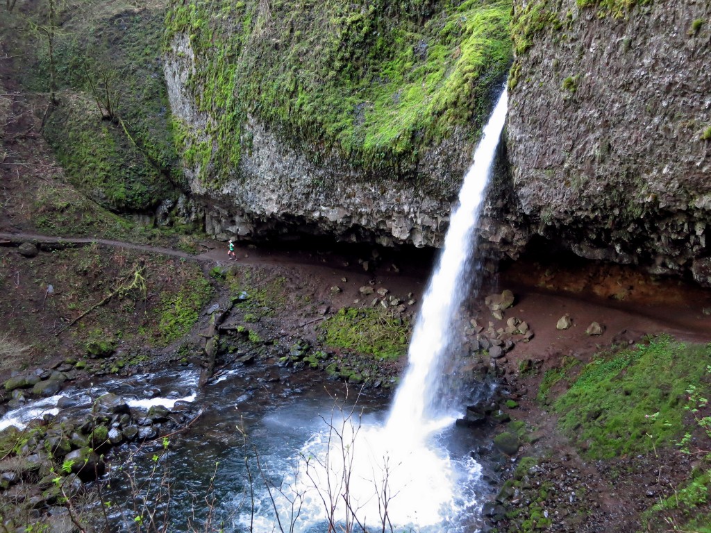
Ponytail Falls, yep the trail goes right behind it, 4/1/16.

Ponytail Falls, yep the trail goes right behind it, 4/1/16.

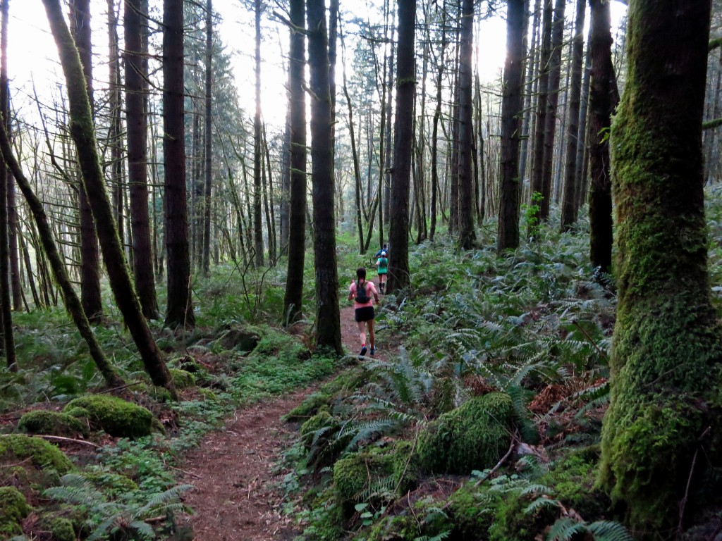
Sweet sweet singletrack along the Gorge Waterfalls course, 4/1/16.

Sweet sweet singletrack along the Gorge Waterfalls course, 4/1/16.

As the miles wore on I could tell all the runnable douche grade was getting to my legs and I was losing that pep in my step. After passing a few friends on their return trip (it’s an out and back) I hit the turn around, refueled a bit then set off back up the long 5mile climb. For some reason in my mind I thought I could use the energy of the other runners I passed to push myself hard up the climb, and that would be a good thing…..oh boy was I wrong. While I was able to run most of the climb, it sucked the energy right out of me and sent me into a downward spiral. I fell into a calorie and electrolyte deficit and trudged my way into Cascade Locks feeling pretty defeated and a little light headed.

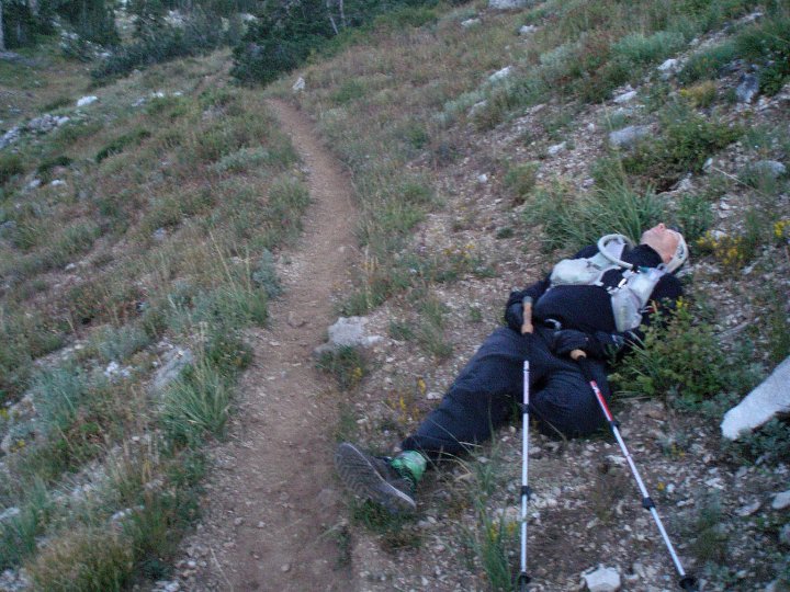
This is about how I felt from mile 35-45, 4/1/16.

This is about how I felt from mile 35-45, 4/1/16.

It was good to see a few friendly faces there as it gave me an emotional boost, but I still wasn’t feeling so hot and had to talk myself out of sitting down several times. Finally I grabbed a Reese’s and just set off up the trail at a swift hike, determined to keep moving forward no matter what. The next several miles felt like an eternity, my body felt ok, but my mind was incredibly foggy. Finally a few miles before Yeon my mind and body finally started to rebalance and I felt 100x better, so I cruised into the aid station with a bit more spunk.

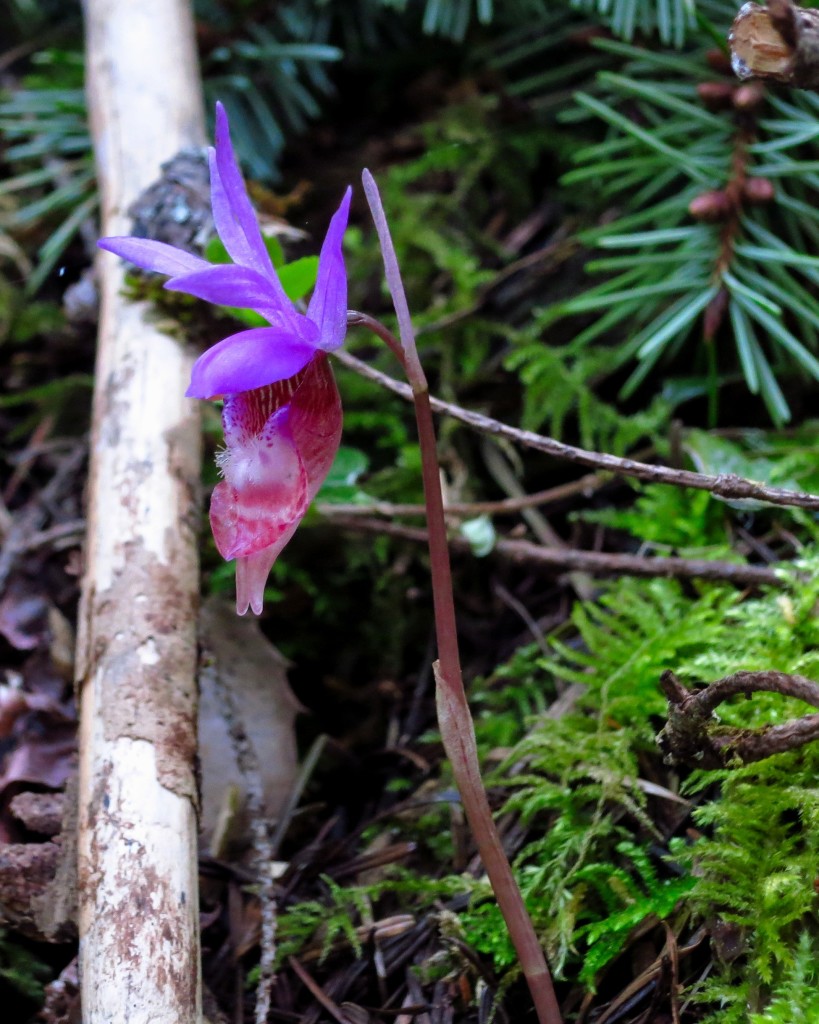
Calypso Orchids also known as Fairy Slippers dotted the entire course, 4/1/16.

Calypso Orchids also known as Fairy Slippers dotted the entire course, 4/1/16.

The legs were still heavy, but at least I was back to moving a bit quicker. I was still quiet grumpy (for me), grumbling about the slippery rocks, the excessively runnable nature of the course and contemplating why I even signed up for this stupid thing. Even though I was feeling much better I found myself walking a whole bunch, just not feeling the motivation to put my head down and grind it out. I stopped when I saw pretty flowers and took photos, I paused in front of waterfalls to bath in the soothing mist, and once stopped to close my eyes to listen to the sounds of the rushing water.

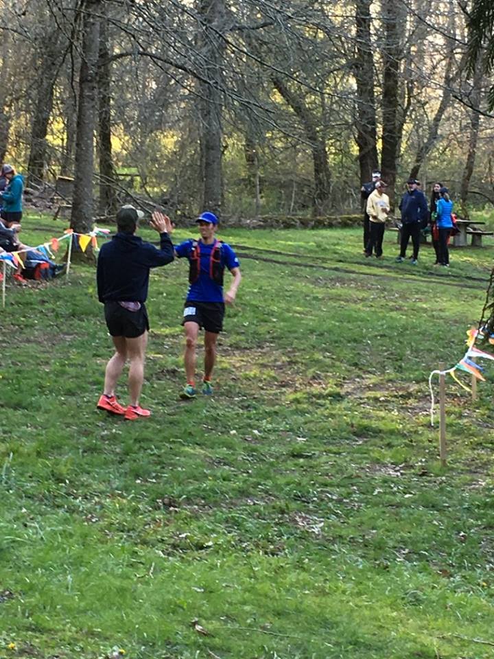
When I finally rolled into the No Name aid station I got really excited, not because I knew I was only 6+ miles from the finish, but because I knew I was going to get to hike uphill and run downhill, no more flat!!! (well, less flat at least) I settled into a comfortable power hike and just went, stopping every so often to take a photo, but otherwise just chugging along. When I finally hit the asphalt at the bottom of the final descent I knew I was going to break 13hours, so any sense of urgency completely disappeared, I even stopped with a mile to go to take a picture of one of the waterfalls. When I crossed the finish line, James met me with a high-five to which I definitely responded that the course needed a few more hills, like 5000-7000ft of them. Most of the Rocky Mountain Runners were there to congratulate me, and the rest of the evening was spent scarfing down pizza and pie, drinking beer and sharing war stories about the struggles we all endured that day.

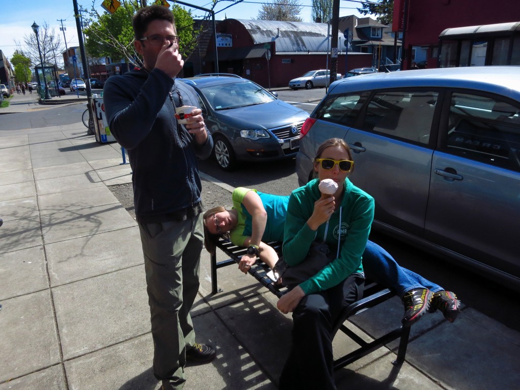
Recovery done right in Portland, brunch, ice cream and naps, 4/2/16.

Recovery done right in Portland, brunch, ice cream and naps, 4/2/16.

Ten years into my ultrarunning career I’m still learning lessons, first being that hiking and mountain fitness does not translate to faster running fitness (this was more a reminder). Second, I need to eat way more than I did to keep myself fully fueled. Third, is to remind myself that we do these things (races, etc) for fun, and when you’re feeling down sometimes all you need is to pause and admire the amazing scenery to refresh yourself. So while my Gorge Waterfalls 100k run didn’t go very smoothly (5:50 out, 7:00 back), it was a beautiful course, a great race, and a fun adventure with good friends. Thanks to Rainshadow Running for putting on such a wonderful event, all the Rocky Mountain Runners and others who shared the trail for the support and camaraderie, and Vfuel for keeping my fueled and mostly happy along the journey.

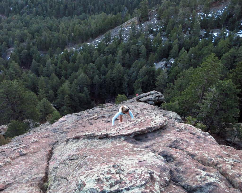
Back in Boulder post Gorge Waterfalls, time for scrambling, mountains and skiing, 4/1/16.

Back in Boulder post Gorge Waterfalls, time for scrambling, mountains and skiing, 4/1/16.

In the coming months I’m looking forward to getting back to climbing lots of mountains, backcountry skiing and scrambling as I prepare for some big summer projects ahead, stay tuned……

2016 Gorge Waterfalls 100k Race Video