
Surviving the Wilson Group
It was a dark and stormy night…..no really it was, several of them in fact. This is the story of my 2016 attempt to speed climb all of Colorado’s 14ers, short lived as it was.
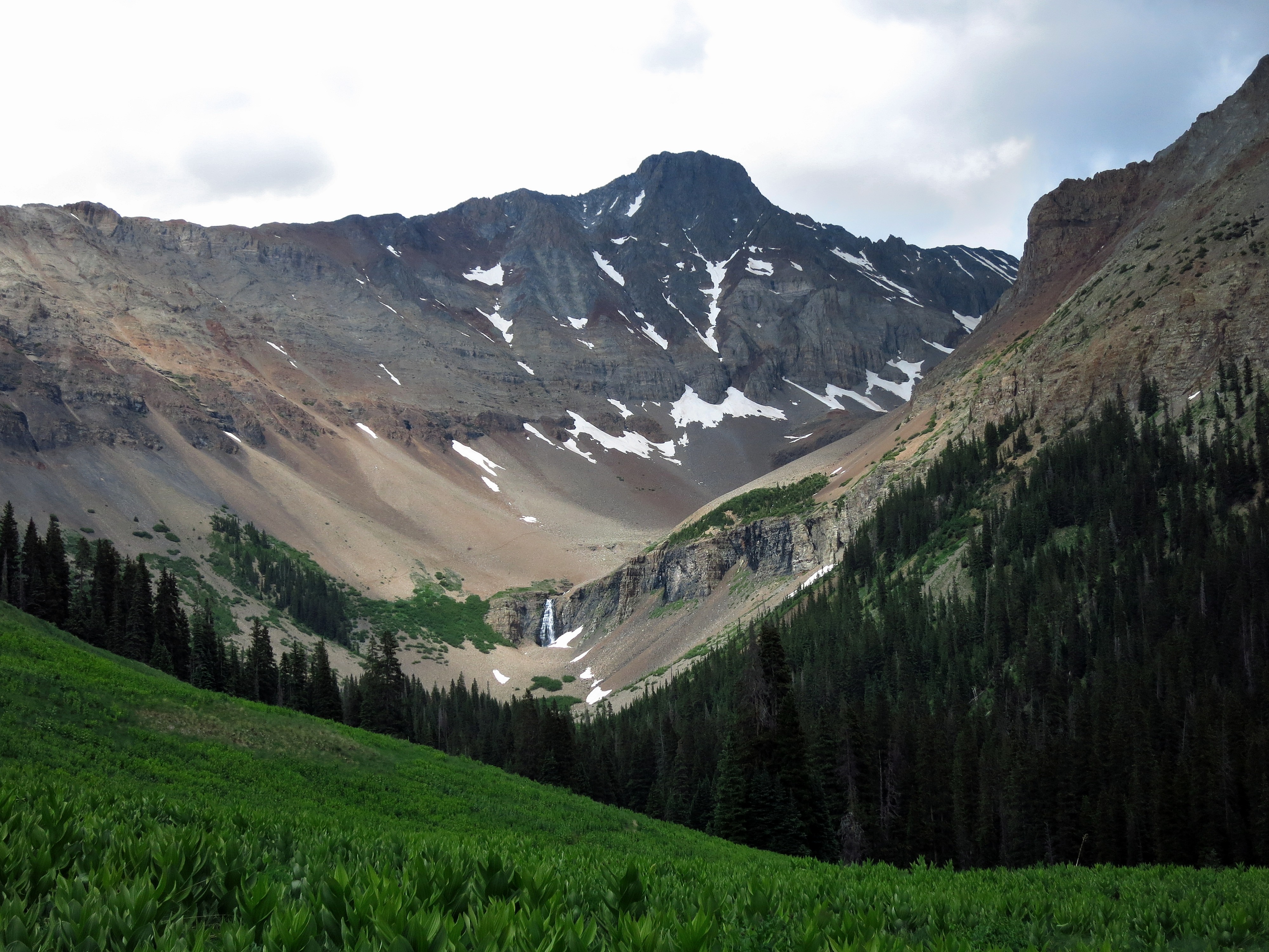
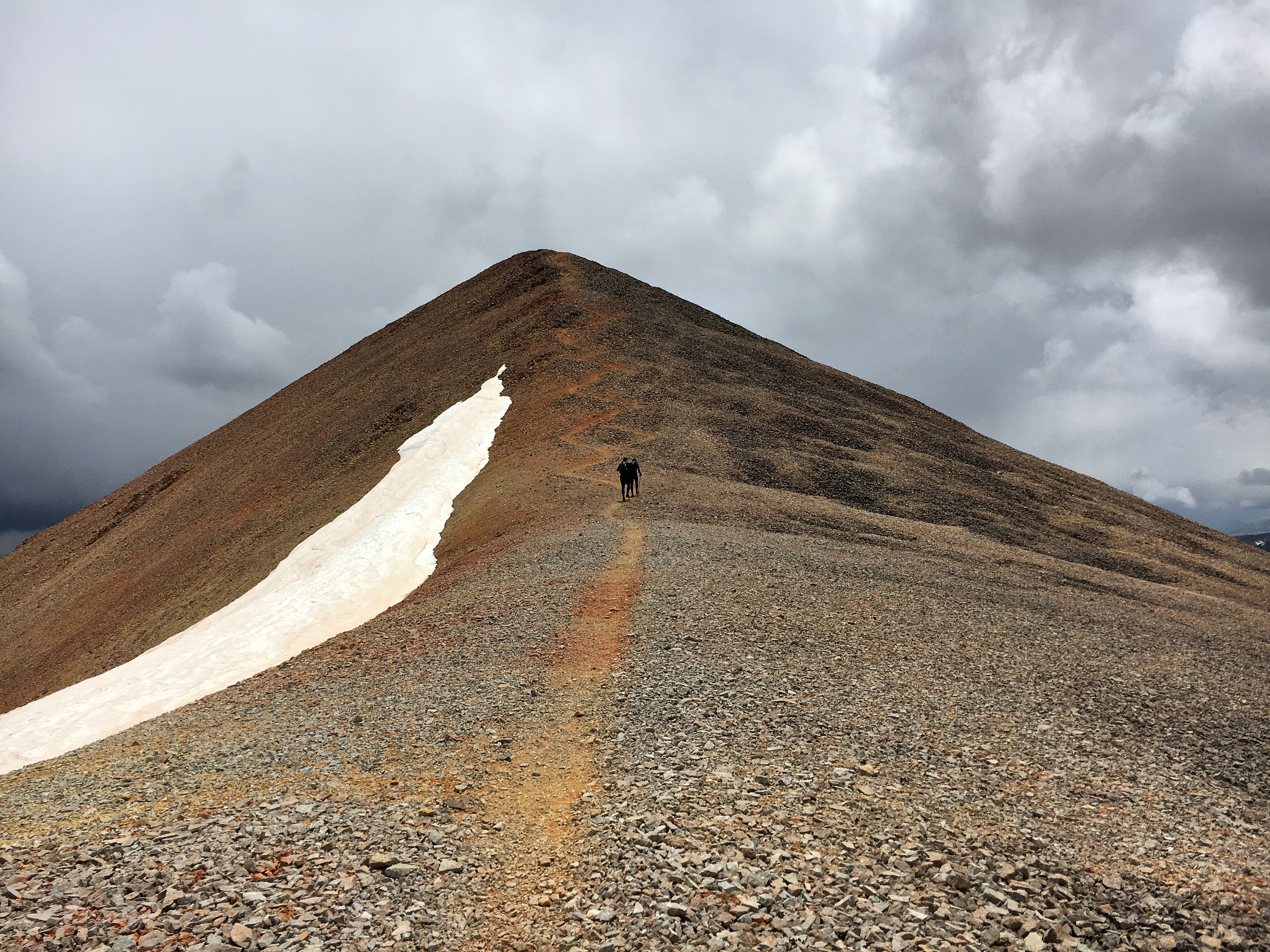
Clouds beginning to gather above El Diente
The sun was shining as I bid my crew farewell at the Kilpacker TH and jogged off toward El Diente and 14ers #5-7. As I climbed high into the basin the dark clouds began to build and roll West to East right along the El Deinte/Wilson traverse. As I climbed past 12600ft the first thunderstorm rolled overhead, the hail began and the thunder grumbled. I paused for a few minutes, then continued up the snow toward the Organ Pipes, stopping twice more near some cliffs to let additional storms roll past. As I sat at 13600ft at the base of the Organ Pipes I realized I had two choices, make a mad dash for El Diente or turn tail and head back down…..I chose the former, and the race was on. I had approximately 45min before the next storm would hit Diente so I pushed it, touched the top and start to run (literally) across the traverse to Mt Wilson. I passed the Organ Pipes and made it to the class 4 notch. I turned back and saw the storm right over El Diente bearing down on me. I busted ass up the wet rock and across to the final scramble to Mt Wilson’s summit. The storm was almost on top of me, so I hurried to the summit block, touched the top….and that’s when it started….the rocks all around me began to buzz. Not a school lunch bell buzz, but a stereo speaker static kind of buzz….fuck. I’ve never moved so fast over rock, picked up my axe at the saddle in stride and ran down several hundred feet of scree to the nearest snowfield and hit it running. The run across the traverse had taken its toll though, as my airway was raw from running anaerobicly for so long.
Finally 800ft below the summit I was able to breath a little easier as the electricity was behind me and the pass and Wilson Peak appeared to be clearing. As I climbed back up toward Wilson Peak the clouds began to roll back in, I pushed on hoping they’d blow on by. When I reached the saddle at 13700ft just before the final scramble to the summit the rocks began to buzz again, so I high tailed it down the nearest gulley as the next storm dropped in. I curled up at the base of the cliffs 150ft below the ridge crest as a steady cold rain/hail fell and the clouds grumbled overhead. I was starting to shiver, it was getting dark, and I was stuck in a gulley on the wrong side of the mountain from the TH……I sat curled up against the rock for what felt like an eternity (probably 10-15min), when finally the clouds overhead appeared to lighten. I thought this may be my only opportunity to get off the mountain, so booked it back to the ridge to see a clear sky above Wilson Peak. I scrambled across the wet rock to the summit just as the last of the daylight faded away into darkness. I flipped on my headlamp and enjoyed a fairly mellow jog/hike back to the pass and dropped into Silverpick Basin.
As I descended into Silverpick Basin the road quickly disappeared into the snow, I was not expecting that. My brain was getting foggy as I descended into the basin, and I couldn’t locate the trail, and to make matters worse my headlamp started to flash low battery, threatening to strand me in the basin without a light. I climbed up and down the slope for half an hour in the dark until I finally had the sense to take a GPS bearing, locate myself on the map and make a B-line for where the trail should be…and there it was! I hit the trail about as hard as I could for the Rock of Ages TH as my headlamp slowly dimmed. When the gate for the TH came into view, I breathed an immense sigh of relief; I’d survived the thunder storms, losing the trail in the snow and the dying headlamp, now to do it all over again 51 more times.
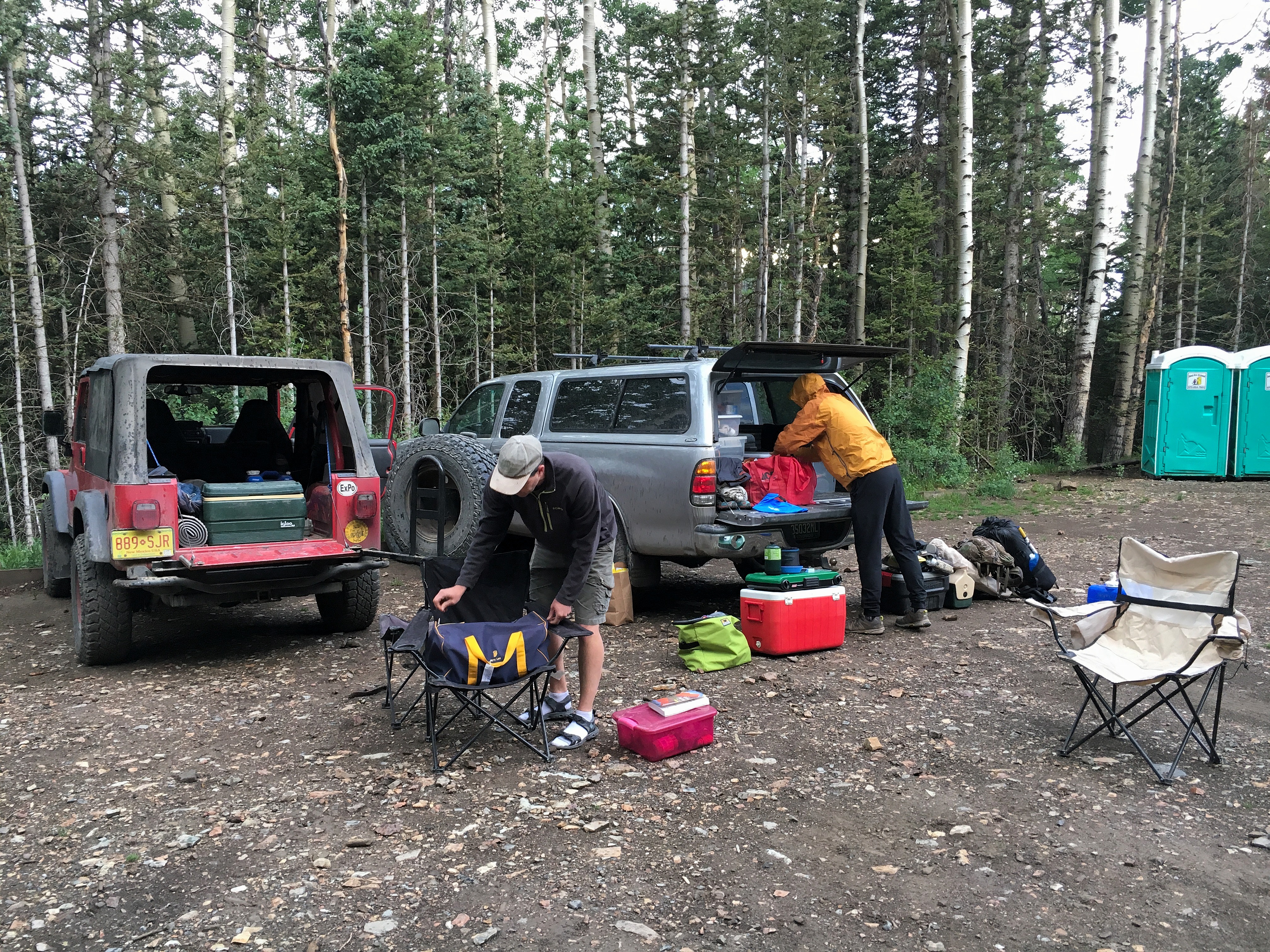
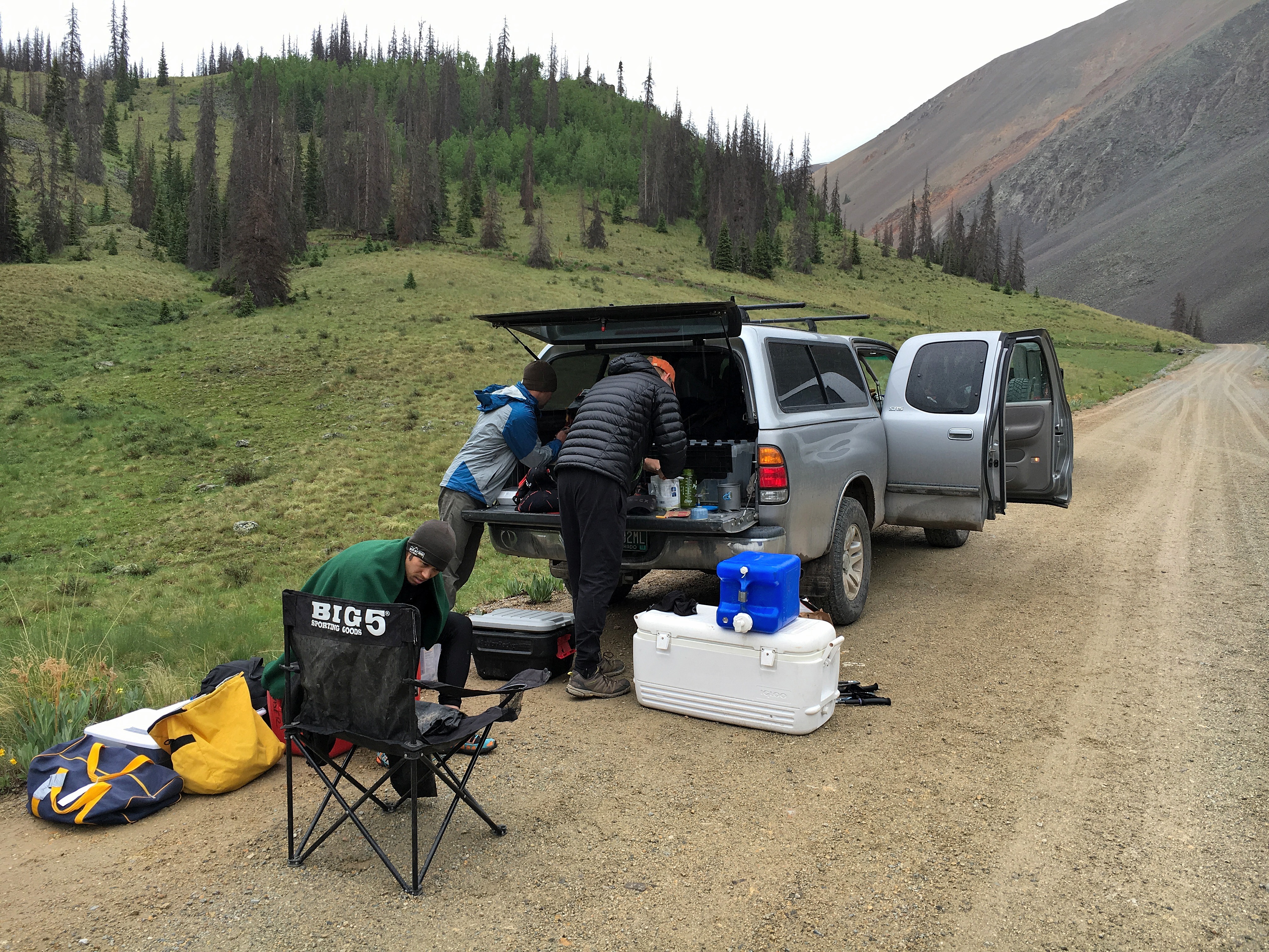
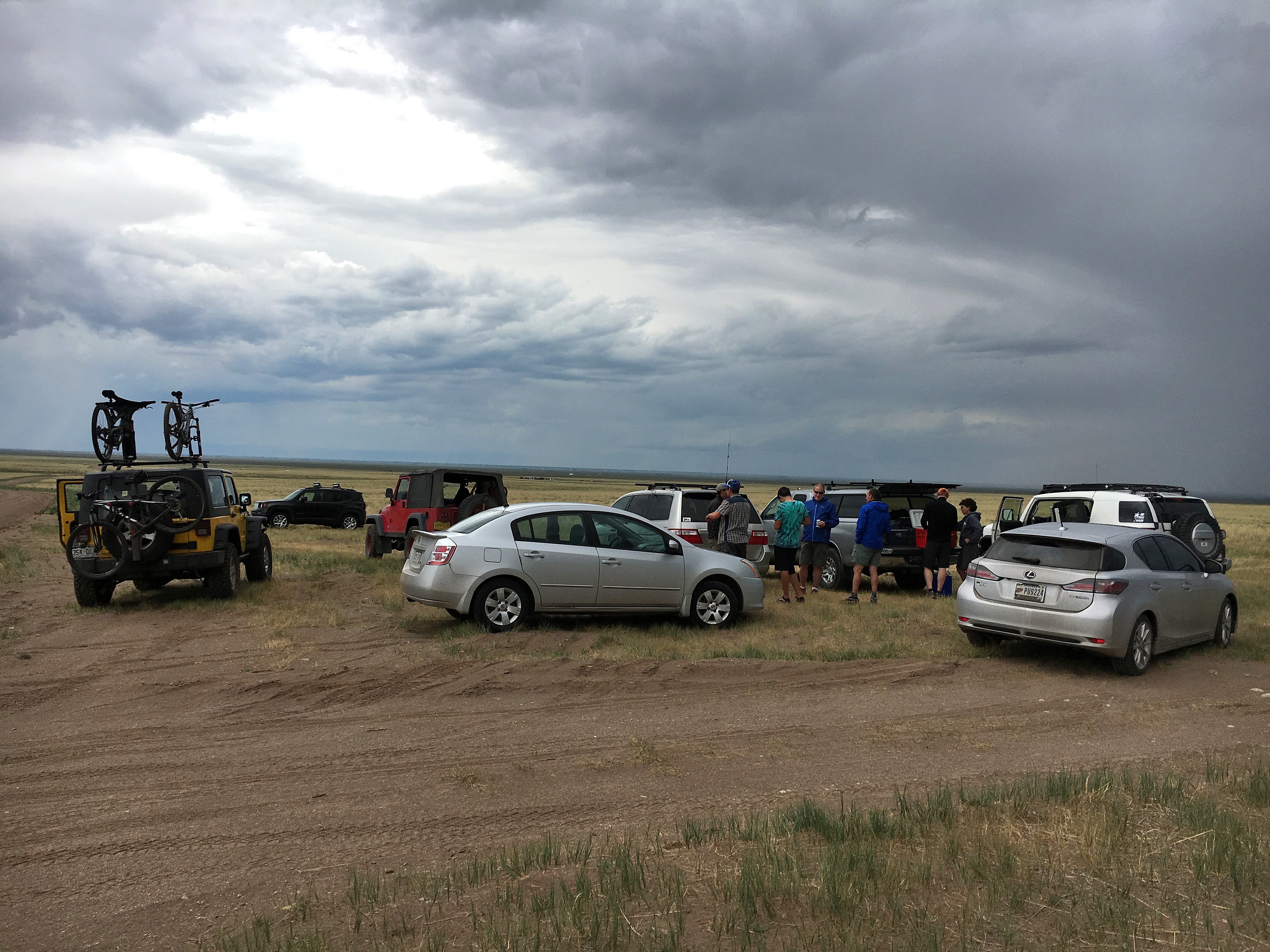
Crew sorting gear at the Rock of Ages TH awaiting my late arrival after the Wilson Group. Photo by Stephanie
The Weather Continues
The rest of the story isn’t very interesting, there was a lot of rain and hail, some thunder and lightning, occasionally a little sun and lots of wet and muddy feet.
The start in Chicago Basin went smoothly, I ran a little harder than was ideal up the canyon, but summitted Windom and Sunlight without too much trouble, just a little postholing. I then climbed the East couloir past Glacier Point and wallowed my way through waist deep snow up North Eolus, to Eolus and took my time walk/jogging back to the train stop, where the train was 45min late.
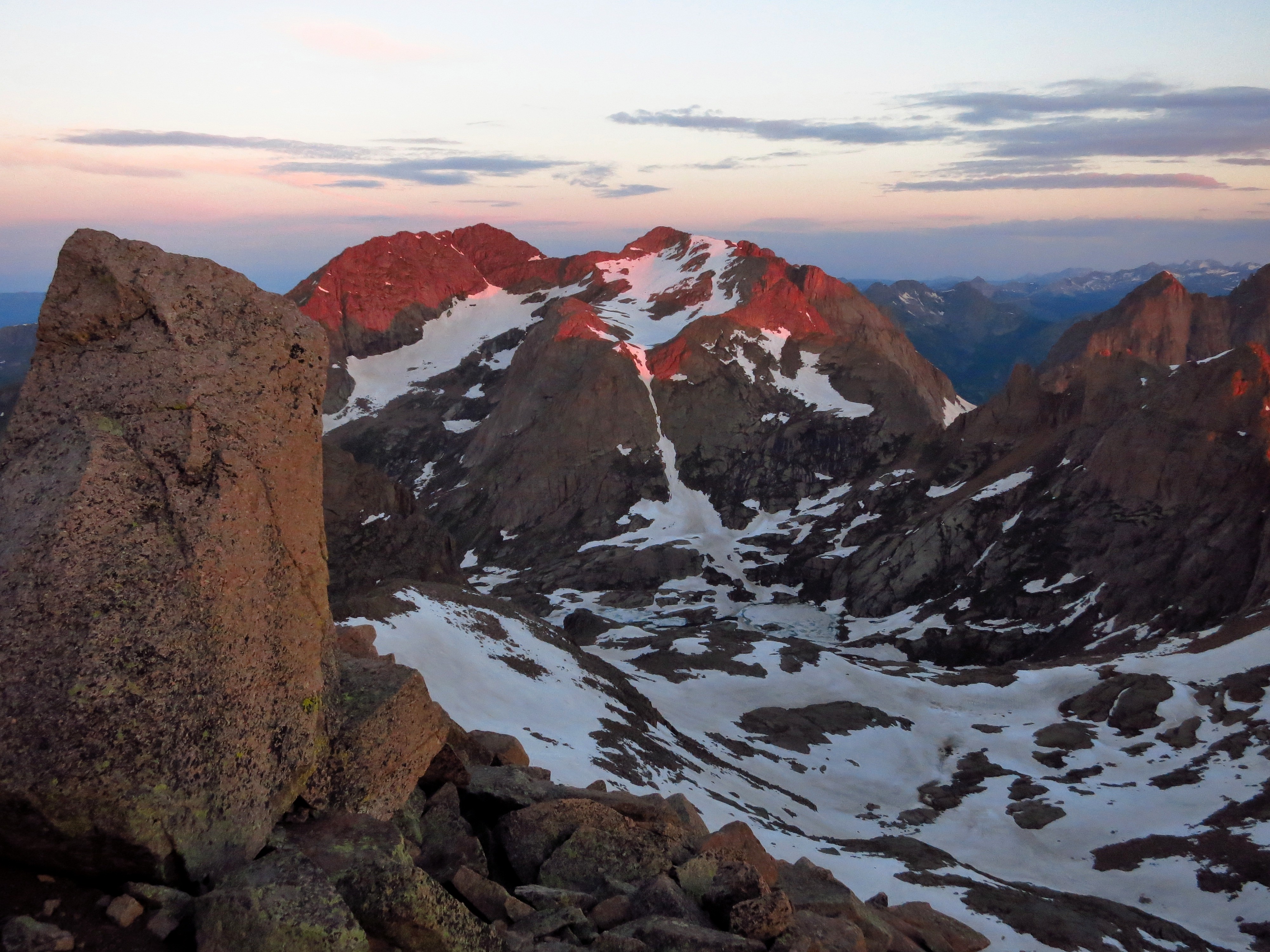
Sunrise from the top of Windom Peak looking into Chicago Basin.
After a little route finding mishap on the way up Sneffels I managed to scramble my way up the direct South face (not recommended) to the summit and find the descent down the Lavender Col. As I descended the cloud dropped back over me and the rain and thunder returned, soaking me on the run back to the car.
Handies was shrouded in more mist and rain, thankfully no electricity this time.
The weather was a little unsettled and moist on Handies. Photo by Jason.
Redcloud and Sunshine, the sun finally shown (some)! We enjoyed a nice hike up, descended the shortcut down the gulch, and then as I neared the TH a light rain again began.
Steve and I heading up , this was about as clear as it got. Photo by Stephanie.
Uncompaghre and Wetternhorn started out nicely, but as I descended away from Uncompaghre the rain dropped in, and it turned to a windy downpour soaking me from head to toe. I cruised over Matterhorn Pass to the Wetterhorn trail, where the rain became a light drizzle. The rock up Wetterhorn was still damp, but at least the rain had dissipated, making for a more pleasant run back to the TH.
San Luis was the first time I had to really battle the fatigue, with the last 1.7miles to the summit taking 1.5hours. Twice I laid down and slept for 10min, forgetting to set an alarm, but miraculously waking up on my own. I finally got some energy back on the descent.
Warming up and chowing down after a damp morning on San Luis. Photo by Stephanie.
The Audible
Due to the late hour (10am) getting off San Luis I opted to take on the Little Bear-Blanca group first then head to Culebra afterwards. So we drove over to Lake Como Rd to meet crew #2 for the ride up the bumpy 4wd road. We bounced our way up to 10300ft where we parked and started walking through Jaws 1,2,3. My friend Chris was to join me for this section. The weather was hot and sunny for our climb up to Lake Como, but as we climbed toward Little Bear’s West ridge the dark clouds began to gather. As we traversed toward the Hourglass the first thunderstorm rolled over, so we took shelter as the dark clouds rumbled overhead and a light rain fell. We did this two more times before reaching the base of the Hourglass to what finally looked like a clear window over Little Bear. We scrambled our way up the wet rock of the Hourglass to the summit, clouds all around, thunderstorms encircling Blanca and pounding the lower San Luis Valley. The traverse was a no go in these conditions, so we scrambled back down the Hourglass to the trail and headed up Ellingwood the long way. As we hiked up the valley, the clouds continued to gather and soon the entire valley was socked in and a steady cold rain soaked us. We soon lost the trail in the snowfields and talus of Ellingwood’s South face. We picked our way through the cliffbands and up into the fog (30ft visibility), finally reaching Ellingwood’s summit. I was starting to shiver and my gloves were completely soaked. We started our way across the traverse to Blanca, in the cold rain my hands went from just wet to stiff and numb.
Leaving the jeeps behind and heading up Lake Como Rd. Photo by Chris Gerber.
Chris and I headed up Lake Como Rd toward Little Bear. Photo by Chris Gerber.
Crew #1 and #2 swapping gear at the base of Lake Como Rd as the storm clouds gather. Photo by Stephanie.
As we scrambled across the ridge in the fog I couldn’t stop shivering and my hands were not becoming any more useful. I had two choices and they both sucked…continue to Blanca and try to descend the Gash ridge (class 5) in the dark, rainy, foggy weather or turn down and head back to Lake Como Rd and throw in the towel. We continued on to the first cliff along the ridge, at which point we stopped to reassess the situation. Any other day the decision would be a no brainer, but today the decision to turn around carried a lot more weight. It meant that a 9day adventure would be cancelled, 6months of training would be for naught, dozens of hours of planning would be thrown out the window, and all the time and energy my friends had dedicated to helping with this project would be wasted. I shouted a whole slew of expletives into the fog, cursed the weather, cursed my frozen hands, apologized to my friend Chris and turned downhill to return to Lake Como Rd.
So What Next?
Angry, bummed, overwhelmed, dismayed, distraught, but mostly just frustrated. After the long walk of shame down Lake Como Rd, Chris and I met up with the crew to bed down for the night before dealing with the logistics of wrapping things up. I’d been 100% focused on trying to see how fast I could climb all of CO’s 14ers, and now, only three days in, it was over. I was a little fatigued, but my legs felt good and I had not even come close to my physical potential. I spent the next week just wandering the mountains and playing, enjoying not having an agenda, and ruminating on what was and what could have been.
It seems most people assume that since I left so much on the table that ‘next time’ I’ll get it….I’m just not sure if there will be a next time. This isn’t just a race you sign up for and go run, it’s something that one trains, plans and organizes for months and even then weather and snowpack can make it not feasible just like this year. How frustrated would you be if there was a decent chance all your planning and training would be for naught? Throw in the fact that it takes a significant commitment from friends giving up their time and energy, requires a large amount of vacation (for us working stiffs) and costs several thousand dollars to undertake, the decision isn’t so easy. So now I’m simply left to ponder the ‘what ifs’ of it all, no decision will be made (or needs to be made) until next year. The rest of the summer is now wide open, but rest assured there will be plenty of playing in the mountains, taking photos of wildflowers and 14000ft summits involved, but no big races or projects for now.
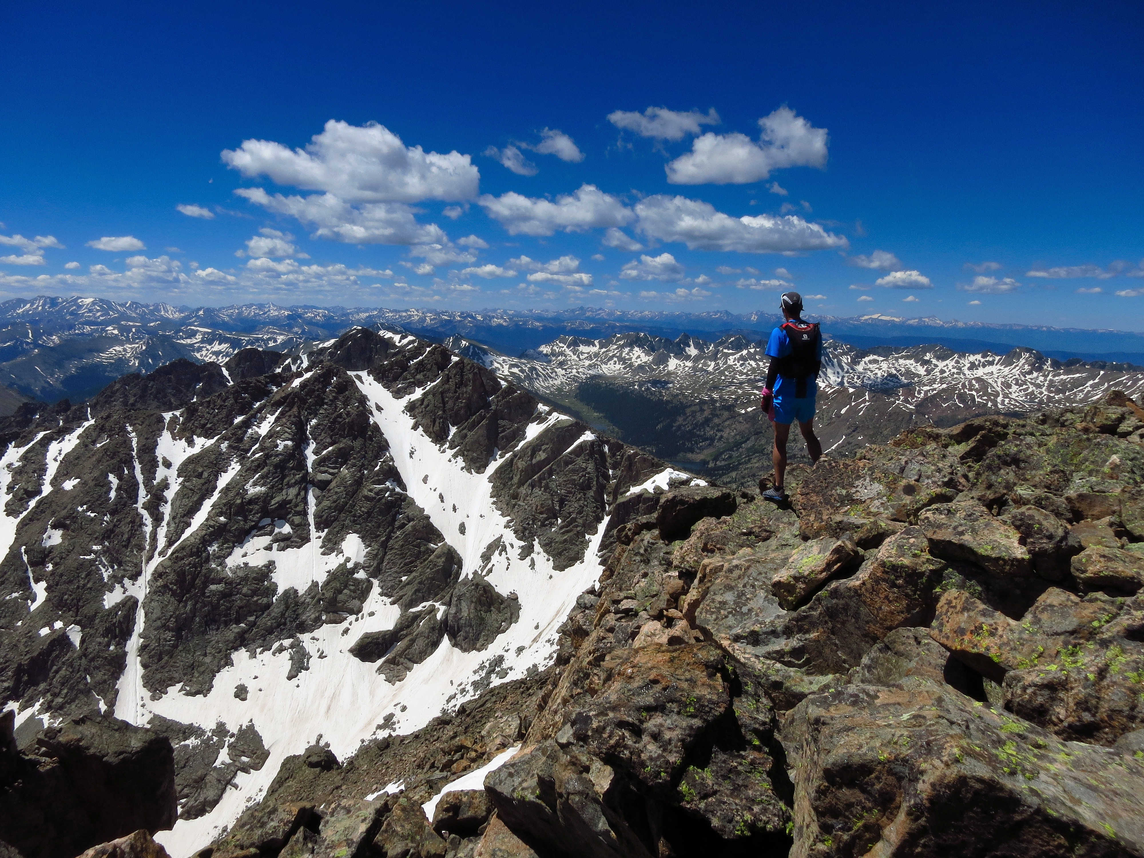
Standing atop Mt Holy Cross on what would have been Day7, a small consolation prize for having abandoned my attempt so early.
Training Summary (Jan-June 2016): 1,135miles on feet, 377,000ft vertical gain, 383hours on feet
A huge thanks to all my friends who gave up their time to crew and support me along the way; Steve, Stephanie, Chris, Jason, Donald, Chris G, Misti, Olan, Zeke, Chris F and Mark. Nate at FasterTracks for setting up a map by which to track my progress and Vfuel Endarance for fueling my attempt.