
Well here goes nothing…. At 5am I set off into the darkness, slowly climbing my way up from Davenport Gap into the silence of the hardwood forest. It was Oct 14th, just over a month after my disappointing race at Ultra Trail Monte Rosa, a very unfulfilling would be end to a big year of training, so I immediately went searching for the next big challenge. Naturally my National Parks project came to the forefront, and at the very top of that list was the “Smokies Challenge Adventure Run” (SCAR). If you’re not from the East Coast I totally get your confusion at the name of the route, I was equally surprised when I first came across it in blogs in early 2019.
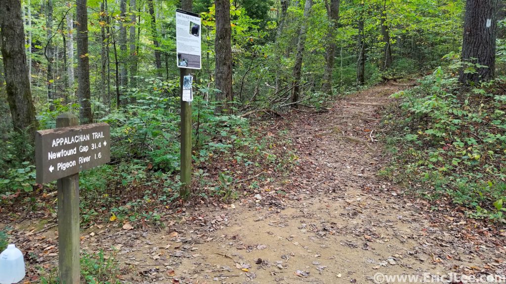
In short, the SCAR is a 72mile traverse of Great Smokies National Park from Davenport Gap to Fontana Dam (or the other way) along the Appalachian Trail, it was a logical, aesthetic and seriously challenging line (72mi, approx. 18000ft, current FKT 14h28min). My goal was to simply survive it, experience it, and take a lot of photos (it would be my first time in the Smokies). So as I power hiked and jogged up the hill from Davenport Gap, my head was swirling with doubts… was I trained enough, did I pack enough food/supplies, would the natural springs be flowing, would the weather hold? The only thing I was certain of was that I was in for one hell of an adventure.
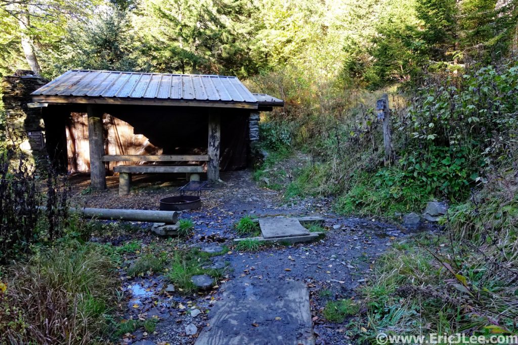
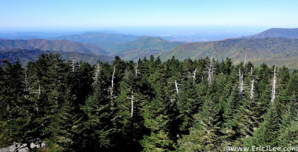
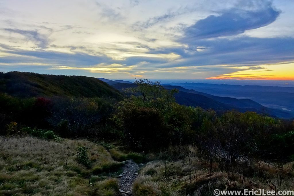
The initial climb went by fairly quickly, and as I crested the ridgeline near Mt Cammerer the first glow of sunrise was showing in the East (5.2mm, 2:45). Now atop the ridgeline I settled into my goal pace for the day, hike up each knob/peak, then jog the descents and flats. The trail was a mix of deep hardwood forest with fleeting views from the various lookouts and knobs along the trail. Finally, I crested Mt Guyot and jogged my way down to the Tricorner Knob shelter (15.7mm, 4:10), my first reliable water source. 2019 was a dry year in the Smokies, as such many of the springs had dried up, and even the ever reliable Tricorner Knob was reduced to a piped trickle, though just enough to treat a bottle before moving on.
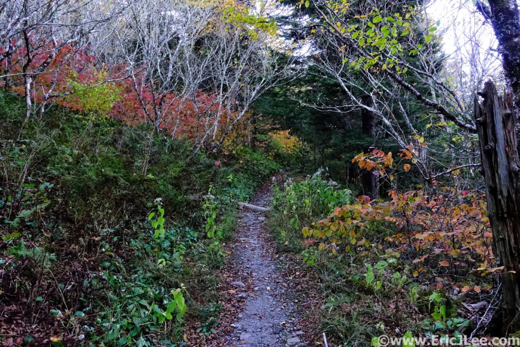
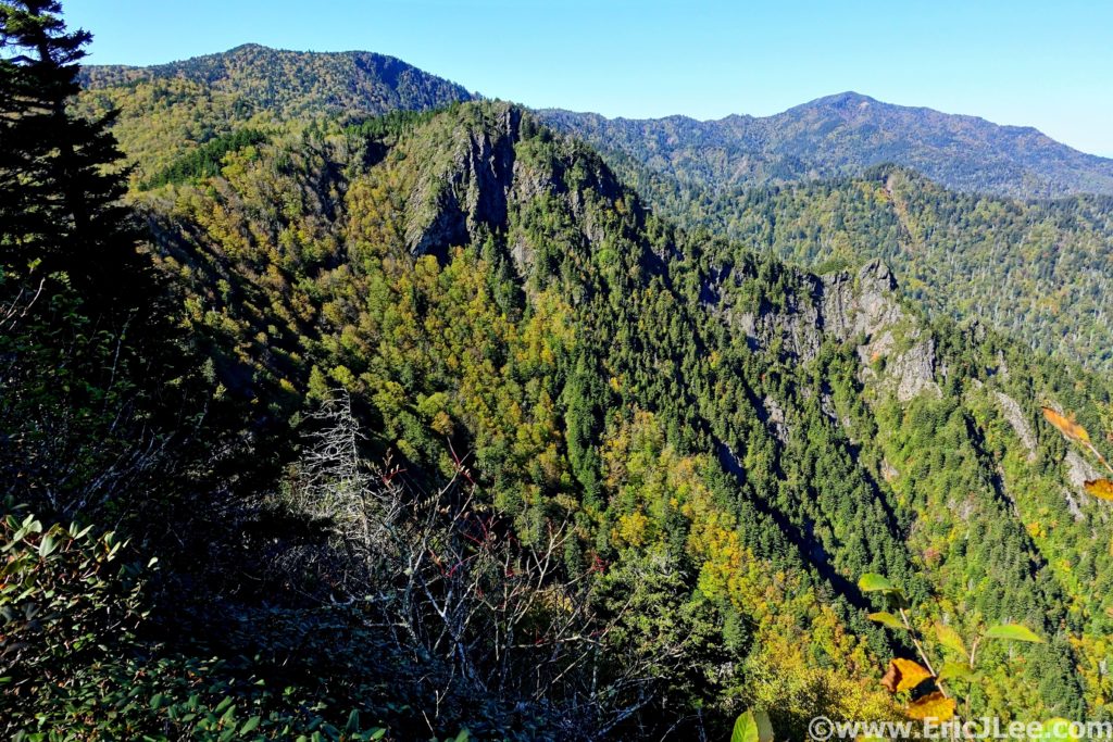
The route stuck pretty close to the ridge for the next section, with several beautiful narrow sections of ridgeline where one could look down both the North and South sides of the ridge. Over Mt Sequoyah, Eagle Rock, Laurel Top, Porter’s Gap and The Sawteeth. The foliage was several weeks behind, but the hillsides were dotted with yellows, oranges and reds, just enough to break up the endless sea of green. As I passed Charlie’s Bunion I began to encounter a steady stream of hikers. By the time I reached Ice Water Spring and Mt Kephart there was an almost endless line of hikers strung out along the trail. Thankfully most people were aware enough to allow me to cruise on by, and I soon popped out of the woods into the madness that was Newfound Gap (30.3mm, 7:15).
I knew Great Smoky NP was the most visited National Park in the US, but I was definitely not ready for crowds. Cars were backed up for a mile on either side of the pass as many more endlessly circled the parking lot. By a stroke of luck I was actually able to find my mom, who had offered to meet me at the trailhead for a food and water resupply. I reloaded my S-lab 12 and jogged out of the parking lot, quickly leaving the masses behind. I hike/jogged along the rolling forested AT up towards Clingmans Dome, the high point of Tennessee and the day. As I neared Clingmans Dome I had my first low point of the day, I bonked hard, slowly slogging my way up the Clingman Dome fire tower (39.6mm, 10:05).
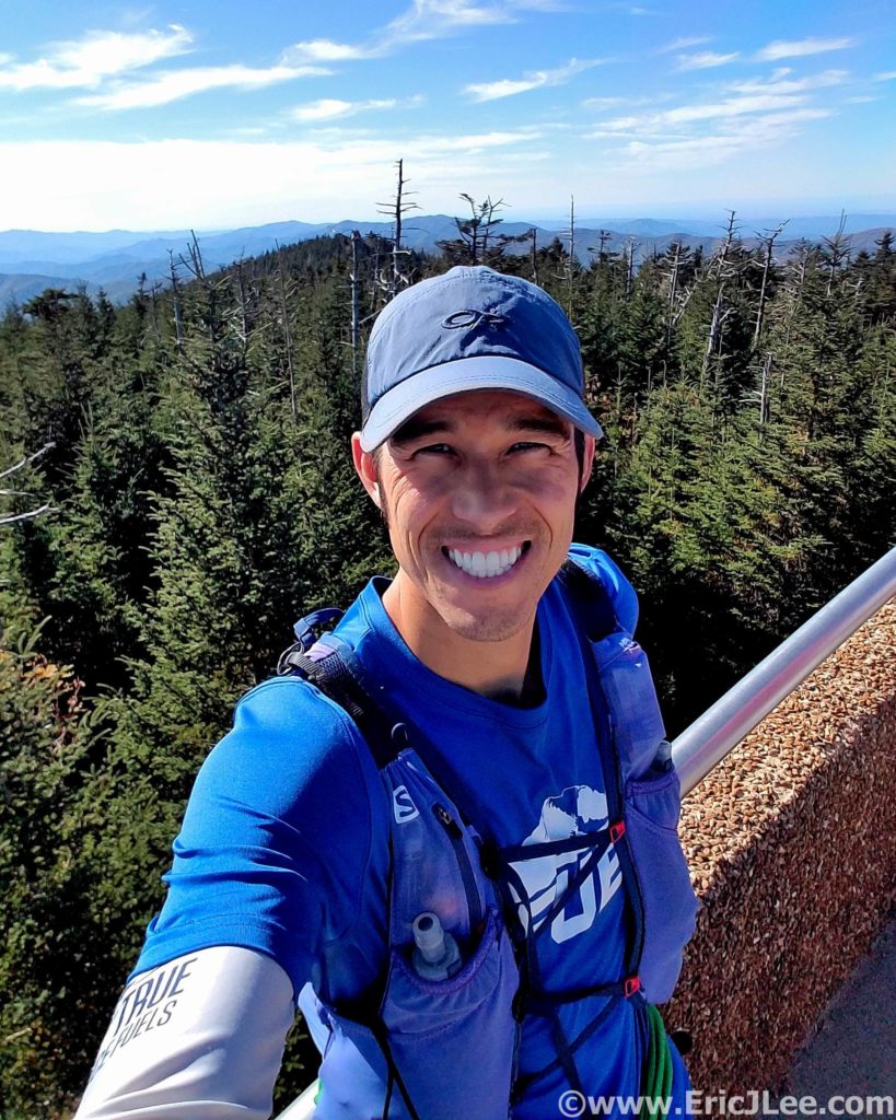
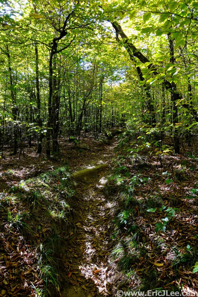
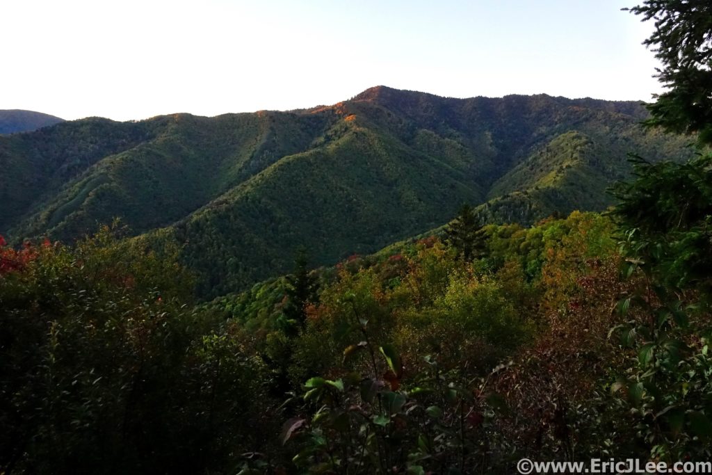
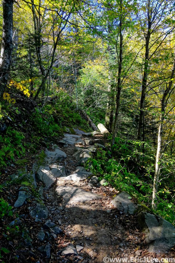
The views were 360 degree panoramic and the air was unusually clear, allowing one to see a long way into both Tennessee and North Carolina. After taking in the views I again disappeared back into the dense hardwood forest, losing all the crowds instantly. It was all downhill from here, literally and figuratively. The trail slowly became rockier, and my legs were definitely not getting any spunkier. Down, then up, then down again, then up…. I didn’t seem to be losing any elevation, even though I’d passed the high point? I finally reached the Derrick Knob shelter (49.3mm, 12:45) for a water resupply, the pipe was again trickling, just enough.
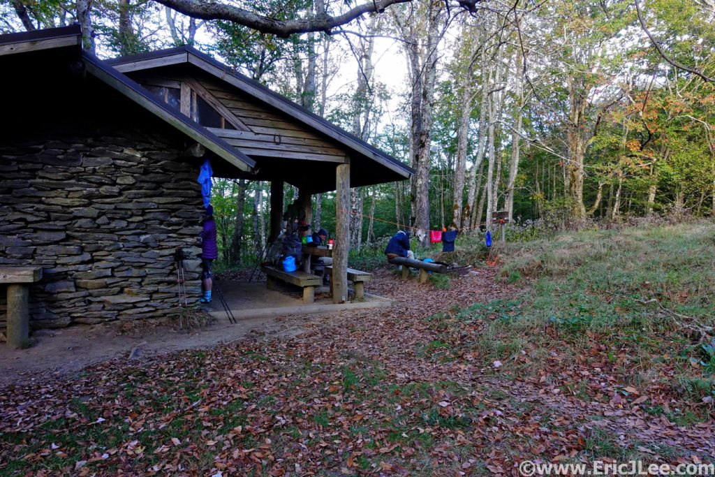
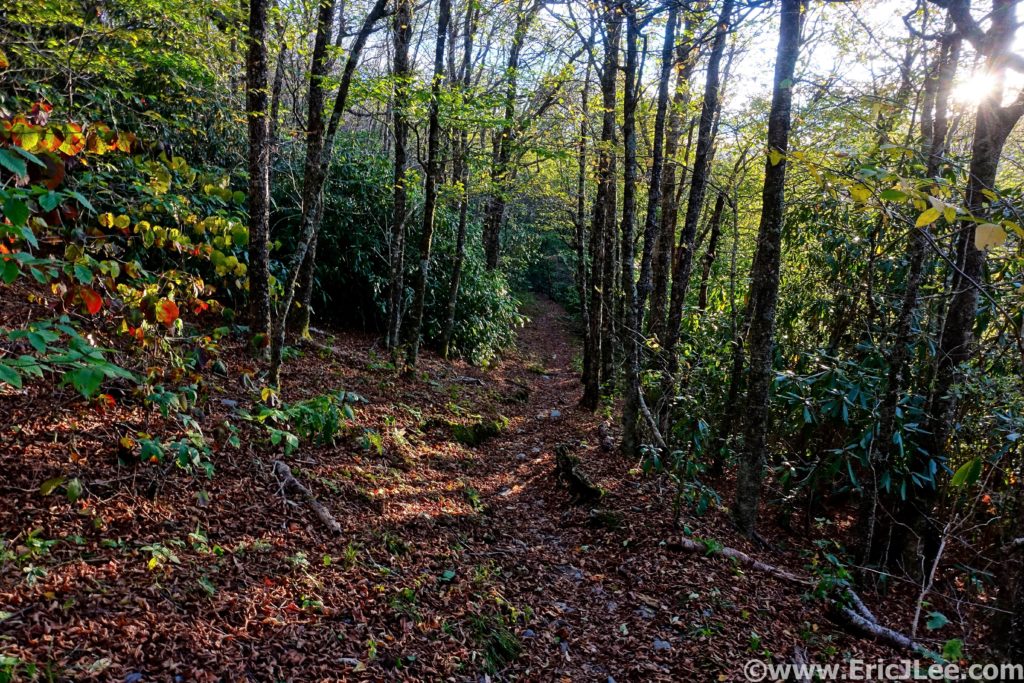
I paused for a moment to chat with the group staying at Derrick Knob, and the inevitable question came up…”So where are you coming from”….”Davenport”….”How many days did it take you”……”I started this morning”……”WHAT?!?!?”. I don’t know why I bother trying to explain, but they were nice enough to point me in the right direction, so off I went. The light was slowly fading away, and the end didn’t seem to be getting any closer. The short steep climbs up Thunder Mountain and Mt Squires were soul crushing, the last just as the sunset faded away in the West, it was going to be a long dark road (54.4mm, 15:15).
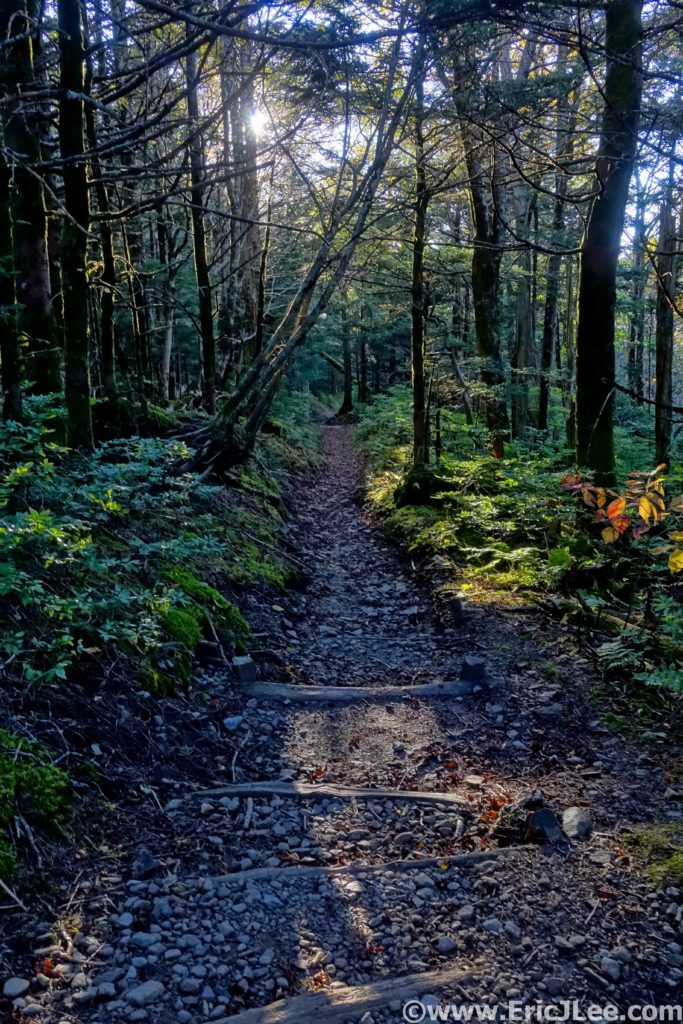
The miles seemed to drag on, over Mollies Ridge and down to Ekaneetlee Pass. I had been dreading the climb to Doe Knob, though knew it was my last significant uphill before what I hoped would be a cruiser downhill to the Fontana Dam. The power in my legs had disappeared on Thunder Mountain and it took all my concentration just to stay upright and on my feet. The dense forest seemed to wrap the darkness tight around me, and it felt as though there was nothing but me and the trail. Finally, I reached the turn where the AT leaves the ridgeline of the Great Smoky Mts and heads due South (64mm, 17:18). I started to jog down the overgrown track, only to find my legs were jello, and I was struggling to not stumble off the trail with every single step. I finally gave up and settled into a soul crushing 16min/mile stumble down the trail, frustrated I couldn’t run, usually my strength.
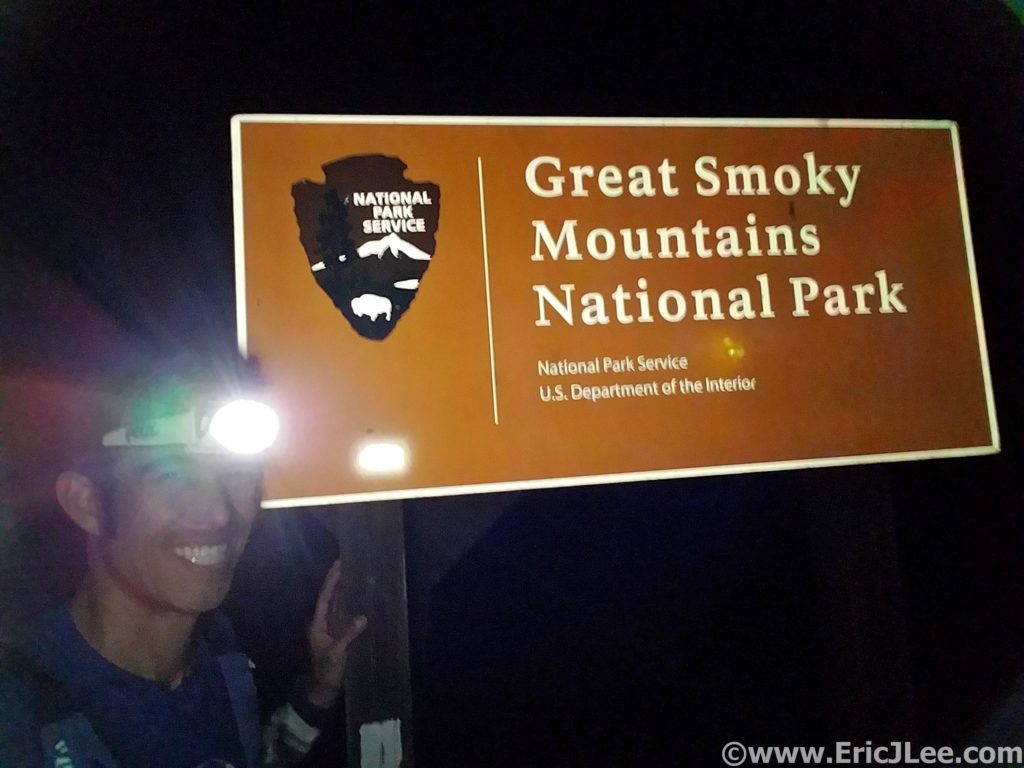
The miles seemed to pass be excruciatingly slow in the darkness, but at last I popped out of the dense woods at the trailhead, only 0.5mi of road left to the dam! Now back on smooth ground I was able to slow jog down to Fontana Dam and the sign marking the boundary of Great Smoky Mts National Park. 72miles (+/-), 18000ft (+/-) and 19h and 25min after leaving Davenport Gap I’d completed the SCAR. I had received a thorough ass whooping on some beautiful but challenging East Coast trail and my first introduction to the Great Smoky Mts had been one hell of a ride. I definitely underestimated the run, but was grateful to have had the opportunity to experience such a classic AT route. Special thanks to my Mom for helping me out with logistics and making the run possible, and to Vfuel for keeping my energy up throughout most of the run. 21 National Park ultramarathons down….only 35 more to go!