Monthly Archives: January 2017

Where Fire meets Water; Volcano National Park Ultra

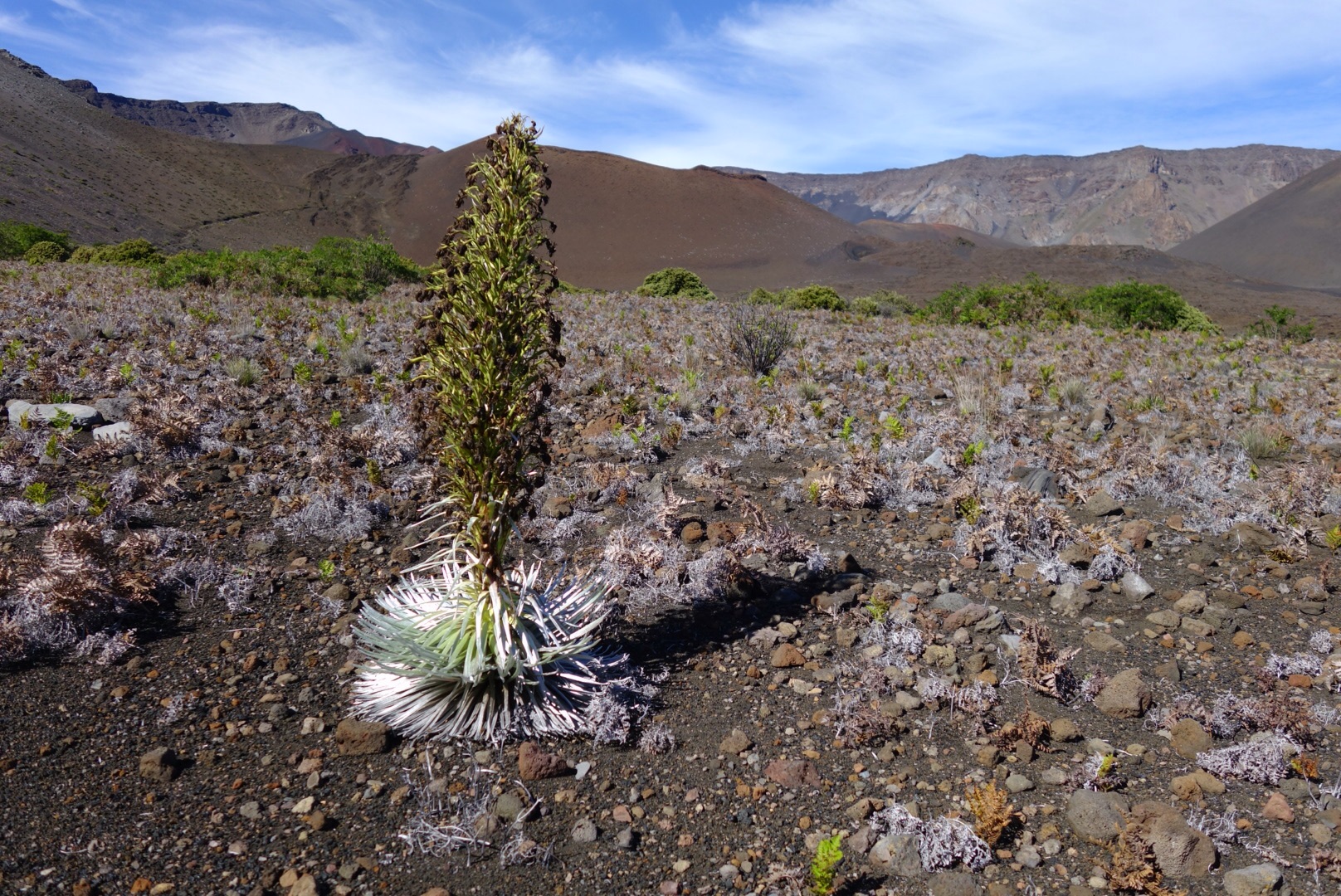
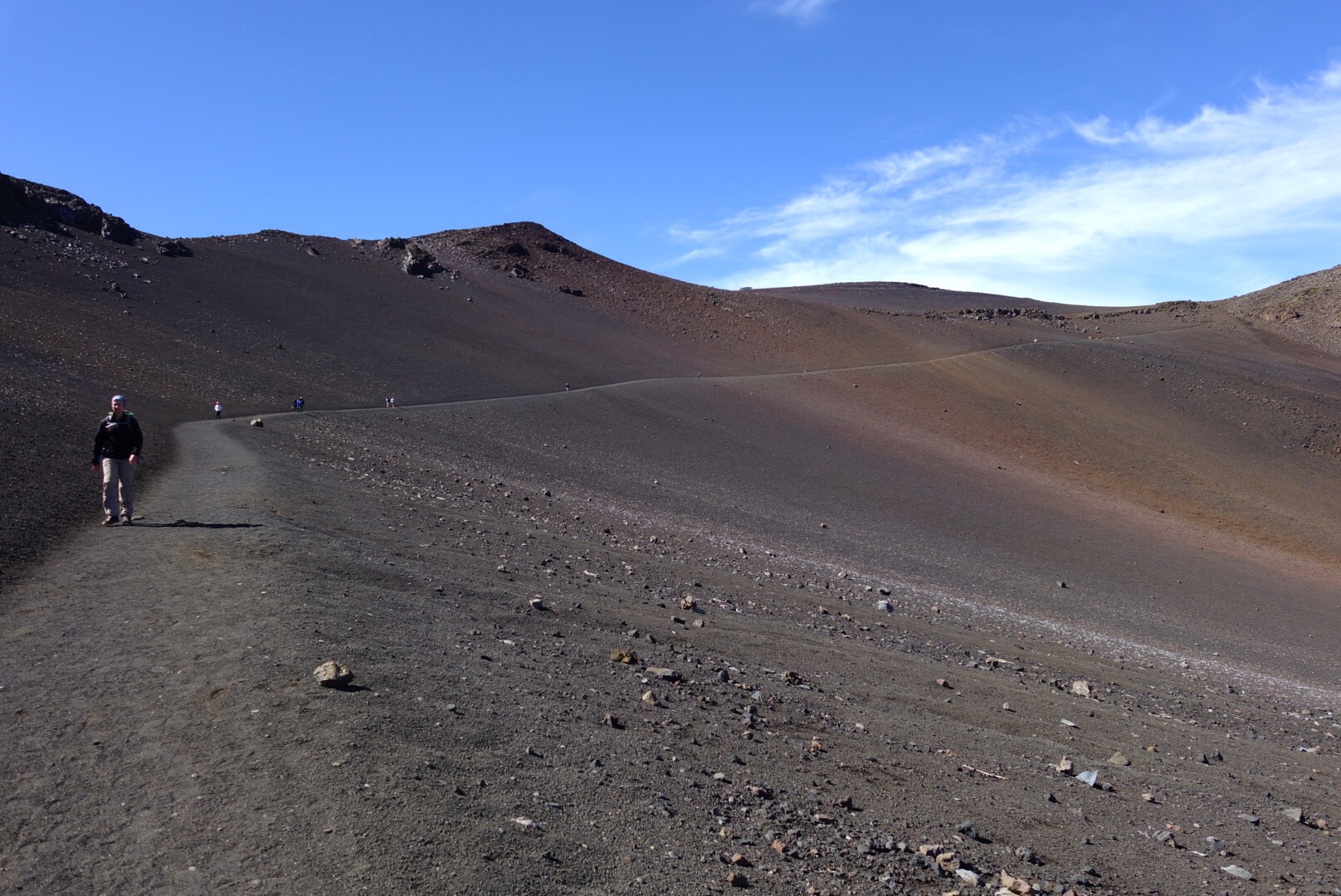
​An ever changing landscape, Volcanoes National Park is one of the few parks that’s still being molded on a macro scale. Not one mm a year like the grand canyon or a few inches like the redwoods, but in some places dozens of feet of new land are added to this national park by the flowing bubbling lava. Ben and I spent a rainy night at camp along the Hilina Pali Rd at Kulanaokuaniki, but awoke at first light to clear skies. After a short drive we located the unmarked trailhead along Hilina Pali Rd  (sometimes called the Halape trail), parked in a small pullout and set off along the cairned, but barely visible route toward Halape.

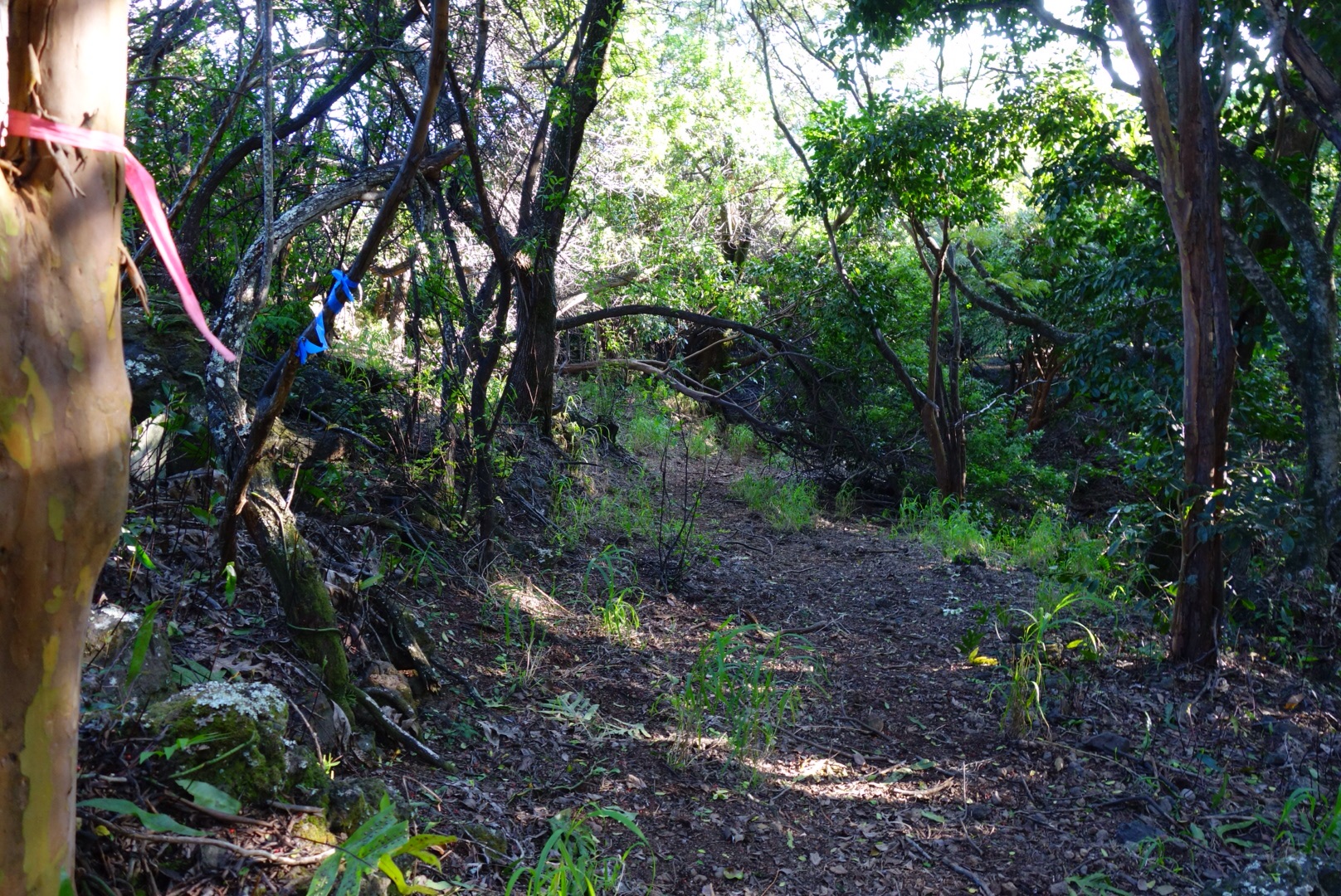
Ben starting down the Halape ‘trail’ definitely unmaintained.

Following the ‘trail’ through the grass, really just a bunch of cairns.

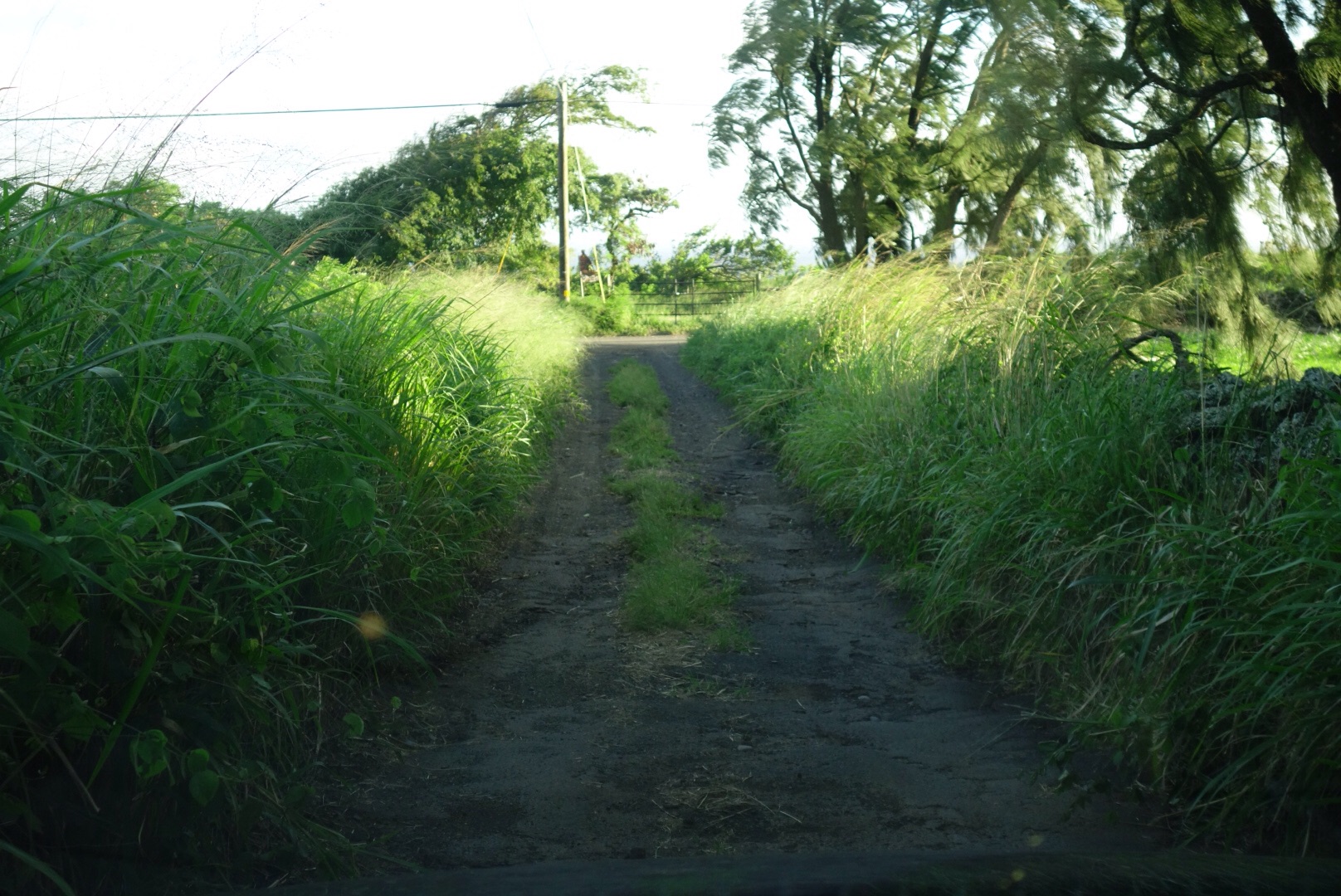
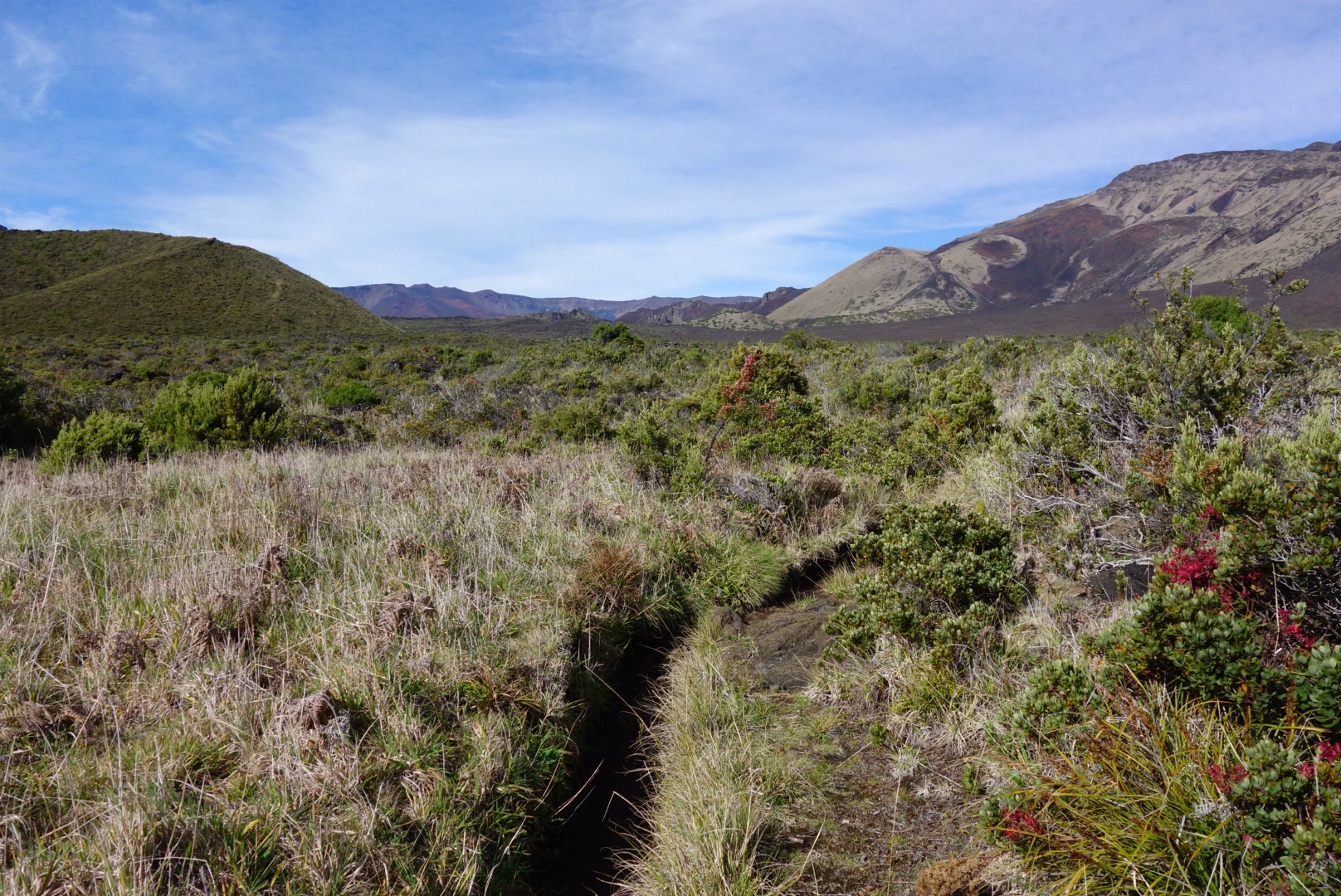
The ‘trail’ started out as a faint path well marked by cairns, but we were soon dumped onto an old road that was horribly overgrown, but still quite visible. We thrashed through knee to waist deep grass for a few miles until the road disappeared into deep grass and we were left with nothing but a line if cairns to follow. The trail began to descend southward toward the ocean rather than traversing back toward the Chain of Craters road as we’d expected, but it was so well marked we continued forward. We descended steeply down some old switchback to the Halape junction (2:15), much further west along the trail than we were expecting because on the map the unmaintained trail was supposed to drop us onto the Keauhou trail closer to Chain of Craters road. Sadly we’d missed the trail down to Halape and decided that because of the slow conditions we’d alter the route and continue on the loop minus Halape.

Ben making his way across the Ka’aha trail, a major trail in the park.

Lava tube near Ka’aha, a little exploration.

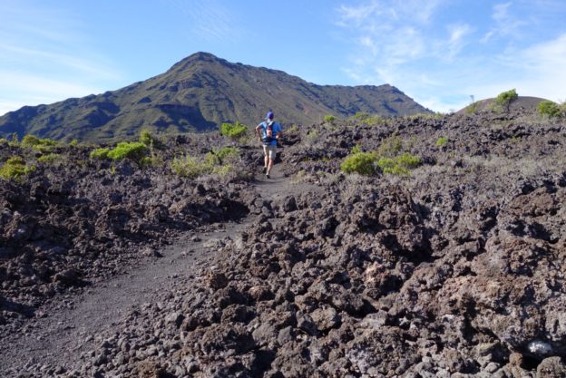
As we started across the Hilina Pali trail toward Ka’aha it was very evident that the day was going to be a slow trudge. While this ‘main’ trail was very well marked we were wading through knee to waist deep grass the entire time and almost nothing was runnable. We passed through a lovely grove of trees (shade!) and then slowly descended toward the beach at Ka’aha (5:45).

At the ocean near Ka’aha, weeee.

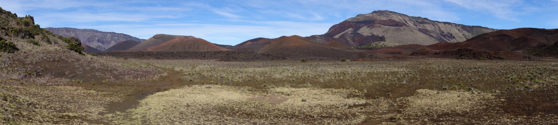
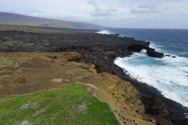
The rolling lava fields between Ka’aha and Pepeiao

The Ka’aha shelter is a funny little shack with a rain water tank and a bathroom near a protected swimming bay. We dipped our hands into the ocean and continued onward along the coast. The character of the coast dramatically changed, and we soon found ourselves running across buttery smooth black lava dunes. It was by far the most runnable and most enjoyable section of the entire day. We spent several miles cruising through the barren lava field, the ocean on one side and the Hilina Pali cliffs on the other, finally arriving at the sandy promontory overlooking several sea arches and the crashes waves of the Pacific. This is what I pictured Volcanoes National Park to look like, barren lava beds, towering sea side cliffs, crashing waves and compete solitude, it had only taken us 6 hours to find it.

Seaside living, lava, arches, big waves.

Pepiao shelter high in the hill side.

We then left the ocean and started the long, slow, hot trudge up toward Pepeiao. As we ascended the rocky lava the wind died and we started to bake in the hot sun. I was definitely fatiguing so the pace died a bit. We finally reached the Pepeiao hut perched high on the Hilina Pali with expansive views I the lower park (6:45). We again refilled our water and proceeded to immediately lose the trail coming out of the cabin. After 10min of bishwacking through the grass we finally located the over grown trail headed uphill away from the cabin.

Ben leaving the Pepiao shelter into the deep grass.

Less than a mile out from the cabin Ben began to cough and some horrid smell was tickling my nose, it took us a few minutes but we finally realized it was SO2 fumes from Kileuea, which made both of us a little sick and uneasy. Over the next few miles we’d continually get inundated with toxic fumes, go through coughing fits, then push onward. Finally as we neared the Hilina Pali overlook we left the fumes behind and were free and clear, thank god nothing lasting. The Hilina Pali overlook is a quiet little cabin with good views of the coast and lava field below, but it’s hard to gain perspective I the area from so far away (8:30). All that was left was to jog the final 3.5 miles of road back to the car and closer the loop. We arrived back at the car at 4:10, 9 hours and 10 minutes after starting, having covered between 26-29 miles (unknown because of trail changes and wanderings).

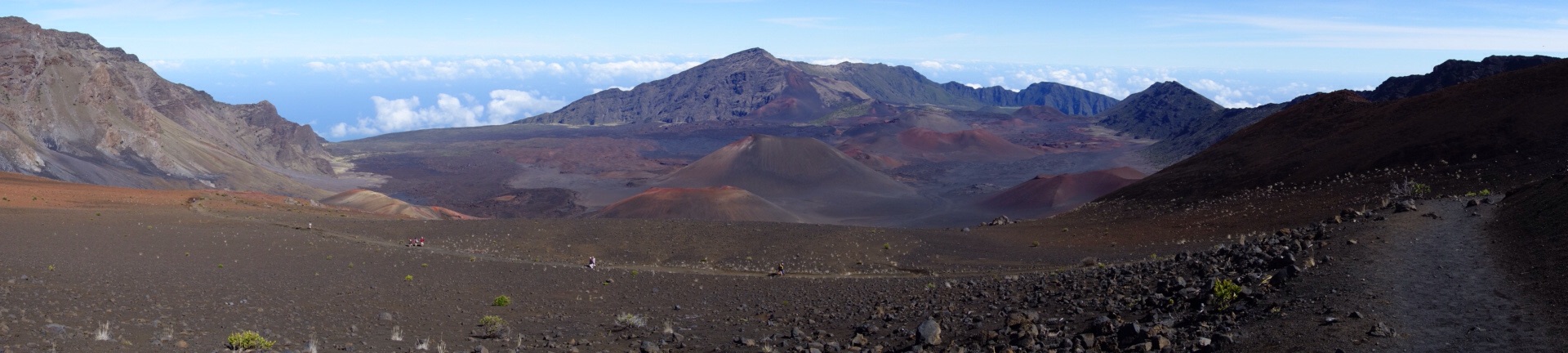
One of the things I’ve learned from my first six national park ultra run adventures is that not only is there a huge diversity of landscapes within the park system, but often this huge diversity applies to a single park. Volcanoes NP transitions from rain forest, to subtropical, to chest deep grasslands, to barren lava beds and finally sandy beaches. And while the route we ran (really mostly hiking) in Volcanoes was not exactly what I thought it would be, it lived up to the showing the true character and diversity that Volcanoes National Park had to offer. The variety of landscapes, the ruggedness of the terrain, the battle between man and nature (nature is winning), and some beautiful solitude. So the project continues on, with six National Park ultraruns competed, and >40 to go, I’ve got a lot of work to do.

NOTES: 

First off Volcanoes National Park suffers the same issue as many other parks, a gross lack of funding. In fact we later found out that the park had laid off all their trail crews for months prior, explaining the overgrown trails. Because I’d this don’t expect super smooth runnable trails, but more an adventurous bushwack, bring a good map. Camping at the ocean side shelters would be quite nice, but Pepeiao want very inspiring and was full of red ants. Since lowers volcanoes is mostly dry grasslands don’t expect to find any water except for the rain collection at the shelters, inquire with the park as to how full the catch basins are and whether the trails have been maintained at all. Note that because of the volcanic activity this run does not include the active lava flows of Kileaua or Pu’u O’o, but both are must see side trips, especially where Pu’u O’o flows into the ocean. So if you’re looking for solitude in a unique volcanic moonscape, give lower Volcanoes National Park a go. Thanks to Vfuel for supporting my habits and to Ben for joining me for this adventure.

Lava flowing out of Pu’u O’o into the ocean at sunset.

The lava glow of the Kileaua crater at sunset.

Navigating Medical help in Chile

Morning stroll through the Plaza de Armas on my way to the clinic.

First off, I’m fine nothing major, but I contracted a nasty case of poison oak in California a week ago which has spread to all my lower extremities and has my left leg swollen as if I’d run 100 miles. I’m quite allergic and since it wasn’t improving I made the venture into the wide world of Chilean healthcare for a little assistance.

My swollen and rash covered leg, hard to appreciate my cankle and giant calf.

First off I was relieved to learn that the Chilean healthcare system is quite good. The network of pharmacies is wide, but while one can get many things over the counter, corticosteriods are not one. So my choice was a ‘hospital’ or a ‘clinica’ to get a prescription. Hospitals are government subsidized facilities while clinics are privately run (and often better), so I opted for the Clinica Davila near downtown Santiago. My traveler insurance doesn’t cover small medical visits, so that was of no use, so it was all going to be out of pocket.

Entry to the Clinica Davila, looks legit.

I walked in the main doors of the clinic and up to the front desk, where it became apparent I’d be doing my transactions in Spanish, I wanted to practice and what a way to learn. I was sent to a check-in desk where I was able to get my name on the list for a doctor consult, then came the fun adventure of getting my information in the system as a foreigner without insurance. The guy at the payment desk had a little trouble, but we figured it out, $45 later,  then came the wait to be called in to see the doctor. An hour later I was called in; the doctora examined me, we navigated my issues with my limited Spanish, she looked at my leg and prescribed an antibiotic and a steroid and off I went.

Bottom is my appointment form, top my prescription, mmm steroids.

I stopped in at the local Ahunada farmacia and picked up my meds without issue ($18). In total the process took about 3h, but if I didn’t speak any Spanish I’m not sure how I would have done it. So just a word of warning, that while the healthcare in Chile is wonderful and very available, finding English speakers is a tough task and be ready to fumble your way through the process if you don’t speak Spanish. Here’s to hoping the swelling goes down quickly and I can get back to normal. It’s been a rough start to 2017, full of all kinds of learning experiences.

I am Me. How do I Prove it?

Fu&@#%*, was one of the many curse words that flew from my mouth when I saw the window of our little Nissan smashed to bits and realized my backpack was gone along with my cell phone and wallet. I had no ID (none), no credit cards, no cell phone and really no way to prove who I was.

Smashed window and everything gone, well not everything. They left or dirty clothes.

The short of the lead in is I had misguidedly left a backpack containing my passport, travel journals, camera SIM card with 1000 photos, along with my wallet and cell phone in an area known for break-ins and thefts and was now paying the price. So that sucked, but now came the real question, could I get myself to the mainland via airplane without any credit cards or ID, and how does one get new ID when you can’t directly prove who you are? Hopefully my misfortune can help others through such troubles if they befall you.

Step #1 contact the police. Surprisingly the police were over within 15min; surveyed the scene, took down my name and address (no ID) and filed a report. The police were able to give me a letter stating I’d filed a police report that my ID was stolen, this would come in handy later.

Step #2
canceling stolen goods. Thankfully Ben still had his cell so we were able call in and cancel my credit cards and cell phone immediately. Later that night I went online to cancel my passport and global entry card, nothing needed to be done for the driver’s license.

Step #3
returning the rental car. Since the car was still perfectly drivable Economy Rental said nothing needed to be done right away. We took some photos and later that night drove to the rental car company to return the vehicle. They examined it, took down some notes then explained that once they got it repaired they’d contact me as I’d have to front the payment. Thankfully since I paid for the rental with my Chase Sapphire card they will be reimbursing the cost of the repairs (check your credit card). I also had the option of going through my car insurance, but opted not to. Also note that one cannot take out a new rental car without BOTH a driver’s license and a credit card, thankfully some good friends helped me out in the ride department my last day in Hawaii.

Step #4
airport travel and flights. I had a scanned copy of my passport so hoped that would help. Problem #1 you can’t pay for bags without a credit card. So I was instructed to buy a prepaid visa for a $5 fee to pay for my luggage, ugg. But with the passport copy they let me checkin (Hawaiian air). Problem #2 TSA, They looked at the copy of my passport and said that it was not acceptable. He called over the head officer, who first called the police to verify the police report, then called Homeland Security (I assume) and proceeded to ask me 6-8 random questions to prove my ID, and I guess I passed because they let me through after a thorough pat down and bag search. I made it! Apparently this also works if you’ve simply forgotten your ID but need to get through an airport.

Step #5
navigating life. There are quite a few things that one can’t do without an ID and/or credit card. You can’t buy food on an airplane, buy anything online, enter federal buildings (like a passport office), buy alcohol, enter a bar, among other things.

Step #6
obtaining ID. Since I had flown to California getting a new driver’s license was off the table, BUT if you have a flight within two weeks one can get an expedited passport. So I had to book my flight to Chile THEN they would allow me to apply for a passport, so I booked my flight, called the SF passport office and made an appointment. Now the tricky part, proving my identity without any actual ID. Without ID I would need to provide a whole bunch of secondary identification. Thankfully my awesome housemate sent my California driver’s license (from age 20), my CSU student ID and my rec card. In addition I printed out old bank records, tax forms, utility bills, medical records, insurance cards and a copy of my birth certificate and passport. After getting a personal escort up to the passport office (because of no ID) I presented my DS-11 and DS-64 forms along with the giant pile of paperwork to two separate people. After looking through all my paperwork he grabbed the four copies of photo ID and had my mom sign a DS-71 vouching for my identity, but leaving all the records behind. In the end it was fairly painless and my passport was ready 24h later ($195 total fee). If I didn’t have someone to vouch for my ID I probably would have needed all the extra paperwork.

Step #7
 driver’s license. Getting a new license (lost or stolen) in Colorado requires one to go into the department of revenue to apply for a new ID, a process I’m not looking forward to, but it should be mailed within 30 days. 

I have ID again! Hooray for expedited passports.

So while it’s a pain in the ass to go through these processes it’s not too difficult, just time consuming. The really sad thing was losing my journals and photos, but life goes on. Lesson learned, don’t leave anything in cars in Hawaii, always split up IDs and credit cards and carry valuables with you at all times. Also make sure to back up cellphone contacts to an online source, I only had some saved. Now that I have a verifiable identity its off to Colorado for a few days on the 17th then Chile on the 22nd, let the adventure continue!

There is always a light at the end of the tunnel, and I got to hang out in California for a bit.

House of the Sun: Haleakala Ultra Run

I grew up vacationing on the garden isle of Maui, splashing in the waves, building sand castles and occasionally fearfully snorkeling. As I grew older our vacation adventures grew a bit bolder, several times taking us to the summit of the mighty Haleakala to watch sunrise from 10000ft before screaming down the road on bicycles. That was when I first learned that some people rode bicycles UP the mountain!?!? Little did I know that the seed was planted for my own epic adventure on this island volcano.

Epic sunsets from Napili beach on Maui

Epic sunsets from Napili beach on Maui.

An unexpected turn in my travels brought me to the Hawaiian islands as a stop over between Asia and South America, starting my journey on Maui. Last year I set in motion a long term project to map out and run ultra distance routes in each of America’s National Parks. As of December 2016 I had completed four such runs; Grand Canyon R2R2R, Zion Traverse, Yosemite Valley circumnavigation and the Grand Tetons loop. This layover was going to be a perfect chance to explore two more National Parks; Haleakala and Volcanos. On December 20th with very little training under my belt I set out from Napili on the 2h drive to Kaupo for the start of the ‘Sea to Summit’ route of Haleakala.

The jungle slowly absorbing the road to the Kaupo ranch.

The jungle slowly absorbing the road to the Kaupo ranch.

Sunrise from the Kaupo ranch trailhead

Sunrise from the Kaupo ranch trailhead

Just after passing the Kaupo store I turned left up an overgrown ‘paved’ road and headed up the mountain. After 1.5mi of driving through the tall grass and bumping along (2wd) I reached the ranch gate and parked on the side of the road at 1500ft above sea level. One can start at sea level and run 2.5mi of road to the TH, but I opted not to. I hopped the fence and followed the Kaupo ‘trail’ signs to a dense field of grass where I promptly lost the trail in the heavily bulldozed brush. I bushwhacked up random ranch roads finally stumbling across more trail signs leading up the maze of Kaupo ranch dirt roads. I lost the ‘trail’ several more times on the overgrown dirt roads before finally popping out in a large grassy cow pasture where I was able to easily follow the marked path all the way to the National Park boundary. The route had been brushy and muddy to this point, but my hopes of better trail inside the National Park were quickly dashed when I looked into the waist deep grass with only faint evidence of where the trail might be, ah shit. It had already taken me 1:30 to cover a supposed 3mi (more like >4mi w detours), and things weren’t about to speed up. I thrashed my way up the overgrown Kaupo trail, occasionally stumbling on hidden rocks or tripping on a root, unable to run.

The trail at the National Park boundary, not really maintained.

The trail at the National Park boundary, not really maintained.

image

So that’s the trail? Looks like a grassy field to me.

As I passed the 5000ft mark the terrain finally became more volcanic and the grass receded. My pace quickened and I finally reached the turn off for the Paliku shelter at 7mi and 6500ft (2:55). I was entering the crater and the terrain was fully volcanic, a mix of gravel and small volcanic rock. I was finally able to run, and made good time over to the Kapaloa shelter (10.1mi, 3:45). The trail was beautifully smooth packed gravel and I kept jogging all the way to the bottom of the Sliding Sands trail where the steep climb to the summit began. I passed several of Haleakala’s iconic silverswords and the crowd of tourist descending from the summit road slowly began to grow.

The brush clears and the trail opens as I entered the crater.

The brush clears and the trail opens as I entered the crater.

image

Running through volcanic lava fields, something a bit different.

I chugged my way up the Sliding Sands trail finally reaching the summit road determined to finish off the final 0.5mi of road quickly. At 12:20p (5:35) I topped out at the Haleakala shelter at 10023ft above sea level after gaining almost 9000ft over 16miles (+2mi of detours). It was a clear and warm day, multicolored cinder cones dotted the crater and Paliku was barely visible at the far edge of the crater. Central Maui, the West Maui mountains and the ocean were all visible far below. After a few quick photos I jogged back down the road to the visitors center to refill water the went bombing down the smooth gravel of the Sliding Sands trail.

Entering the crater the scene is from another planet.

Entering the crater the scene is from another planet.

Silverswords along the Sliding Sands trail.

Silversword along the Sliding Sands trail.

The long smooth climb up the sliding sands trail.

The long smooth climb up the sliding sands trail.

The trail was fantastically fast and soon I was back in the heart of the crater slowly shuffling across. I was really starting to feel my lack of training now as the fatigue set in, but I still had 12mi to go, so go I did. The sun was relentless as it beat down on the black lava rock, finally back at the Kapaloa shelter I sat down for a short break (7:00, 22mi). It was dead quiet in the heart of the crater and I hadn’t seen another person for 3mi (and wouldn’t for the rest of the day). I took it easy across the rocky lava fields to Paliku (7:45, 25.1mi). Then back down the grass covered brushy trail to the Kaupo ranch boundary (8:50, 29mi). This time I managed to locate the proper route through the ranch roads (follow signs and blue flags), if you don’t see blue flags once you reach the brush you’re probably on the wrong route. 9h 15min after leaving my vehicle, I again hopped the fence and stopped my watch. It had been an exhaustingly beautiful day (32mi +>2mi of detours, 9000ft gain/loss) and for about 80% of the route I had the trail to myself.

On the summit of Haleakala at 10023ft.

On the summit of Haleakala at 10023ft.

image

Descending back into the crater from the summit road.

When there is no snow a volcanic sand angel is an acceptable alternative.

When there is no snow a volcanic sand angel is an acceptable alternative.

image

Found the ranch trail on the way down. Follow the blue flags for smooth sailing.

So went my fifth National Park ultra distance run. It was definitely the most trying to date, lots of bushwacking and route finding on unmaintained trails/roads. But it offered a unique glimpse into the variety of ecosystems 10,000ft of pacific island volcano creates. From dense forest to waist deep grasslands, rocky lava beds to weathered gravel and cinder of all different colors. This is definitely not a route for those looking for smooth trail (though the upper crater loop is beautifully runnable), but better suited for those looking for a unique adventure in a one of a kind environment. For the extra ambitious you can start from the road and run east and down to the beach before ascending a full 10,000ft to the summit.

As my National Parks project moves forward I am looking forward to more unique adventures in our amazingly diverse Park system. Coming soon to a blog near you a recount of my gnarly Volcano National Park run. Thanks to VFuel for powering my adventures and to all the hard working folks of our National Parks who make this project possible. To continued exploration into new and beautiful worlds.