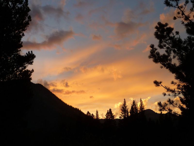
Preparation
It was 2005 when my love of peak bagging and hiking came together with the new (to me) world of ultramarathon running. I had not idea what a happy marriage it would end up being or to what ridiculous lengths it would take me. After about a year of living in Colorado I learned of an incredibly insane, but spectacular and challenging route known as Nolans14. The route was originally dreamt up by Jim Nolan as the most 14,000ft high peaks one could climb within a 100mile span. The route stretches from Mt Massive on the North end to Mt Shavano on the South end, traversing fourteen 14ers in the process. From 1999 to 2002 there was a race that followed the route, drawing anywhere from 4-13 participants who came out and challenged themselves on this 100mile, 44,000ft gain trek through the Sawatch Mts. To date only four people have summited all fourteen peaks within the 60h limit. Now, with the forest service shutting down the race, the number of atemptees have been reduced to a handful for whom this is a solo adventure challenge.
Over the past several years Iĺve been slowly learning the routes (many off trail), preparing my body for long adventures and gaining a better appreciation for the incredible difficulty that entails completing Nolans14. In 2008 I set out from the Southern terminus (Blank Gulch) and completed the southern four peaks; Mt Shavano, Mt Tabeguache, Mt Antero and Mt Princeton. In 2009 I again started at Blank Gulch, this time adding on one more peak; Mt Yale. For all my efforts Iĺd only netted 5 peaks in 23hours, a small fraction of what it would take to complete Nolans14. After a 1 year hiatus I returned to the route in 2011, feeling much stronger and more confident about the route. This push would be from the Northern end, starting with Mt Massive and working my way South in hopes of picking up nine peaks over 58miles with 27,000ft elevation gain.
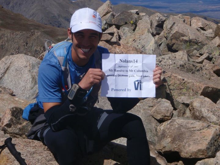
Nolans14 Statistics
14ers Covered: Mt Massive, Mt Elbert, La Plata Peak, Huron Peak, Missouri Mt, Mt Belford, Mt Oxford, Mt Harvard Mt Columbia (Nine)
Total Time: 34hours 37minutes
Distance: approx 58miles (20miles off trail)
Elevation: 27,000ft of gain
Calories Consumed: 5,800 (2 poptarts, 21oz Vi Fuel gel, 4.5 balance bars, 2 granola bars, 4 bags of trail mix, turkey sandwich, 4 cookies, dozen potato wedges, 5h energy)
Water Consumed: approx 12 liters (384oz)
Calories Burned: approx 20,000
Temperature Range: approx 28-75║F
Training (since July 1st): 350 mountain miles mostly above 10,000ft, 100,000ft of elevation gain, five 14ers.
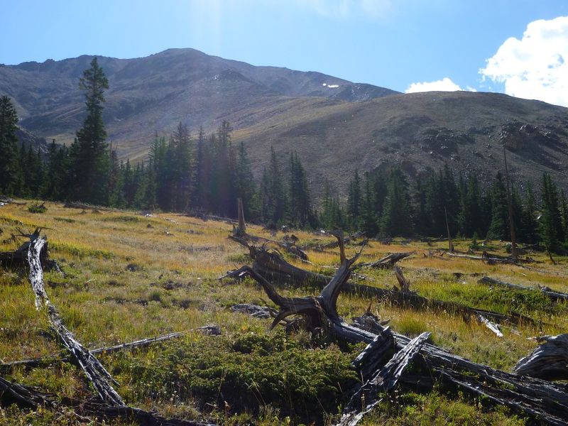
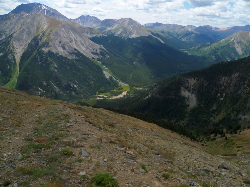
The Start: Mt Massive to Winfield
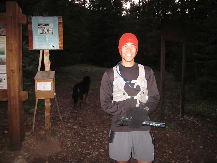
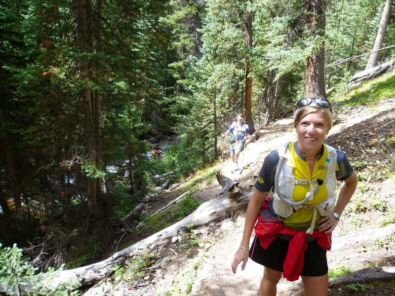
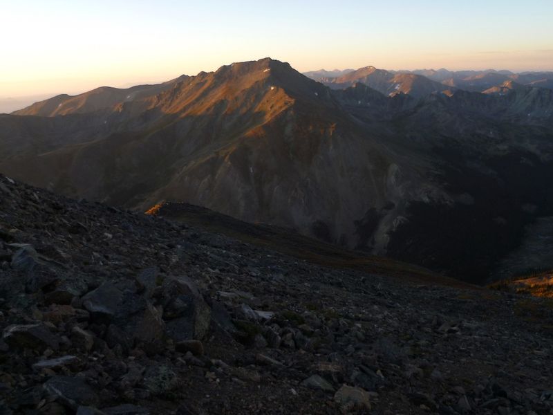
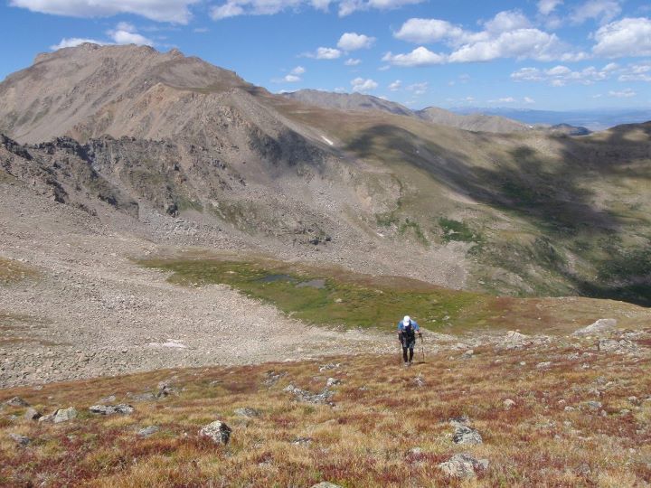
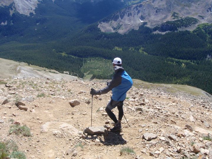
I set out from the N Halfmoon Creek trailhead at 6:25am along with several friends who had decided to join me for the first peak or two, a much saner endeavor. I took off at a brisk hiking pace up the flatter section of trail toward Mt Massive, jogging the few small downhills, I was soon all alone. I hit the turn for Mt Massiveĺs SW slope and started up the steep rocky stairs, a little quicker than I should have. I soon reigned in my pace to something that was quick by comfortable and most importantly something I felt I could maintain. I made quick methodical work of the switchbacks and soon found myself jogging from the false summit over to the true summit, topping out at 8:26am, 30min quicker than anticipated. I snapped a photo, took in the views, and then jogged off back down the way I came. I stopped quickly to chat with Pete, Michael, Stephanie and Chris on the way down, but knew there was a long day ahead so off I went.
|
|
|
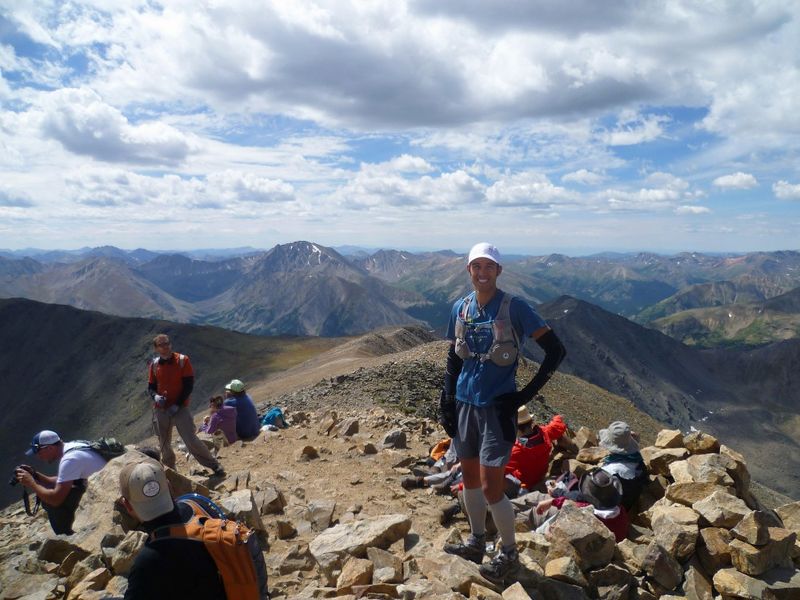
| Me at the Mt MassiveTH | Mt Massive SW slope route | Summit of Mt Massive |
 |
 |
 |
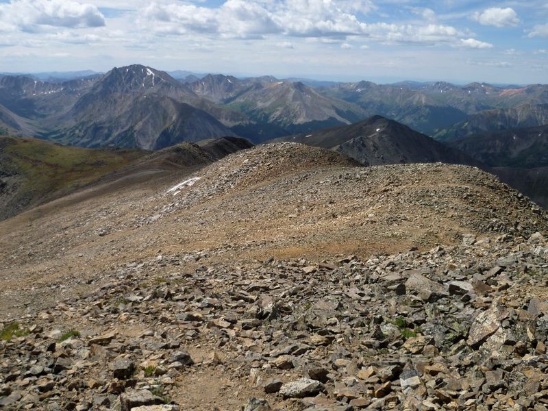
| Turn off for Mt Elberts W Ridge | Mt Elbertĺs W Ridge | Summit of Mt Elbert |
 |
 |
 |
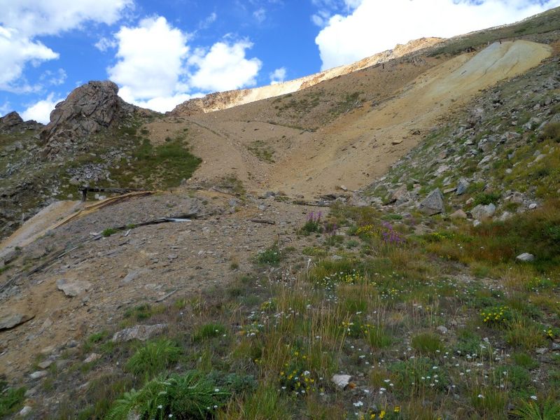
| Descent off Mt Elbert to Bull Hill | Golden Fleece Mine near Bull Hill | La Plata Peak and Hwy 82 |
 |
 |
 |
| Ben and Amanda heading up La Plata | La Plata Peak Trail | Me on La Plata |
 |
 |
 |
| La Plataĺs South Ridge | Descent Toward West Winfield | Valley scenery |
 |
 |
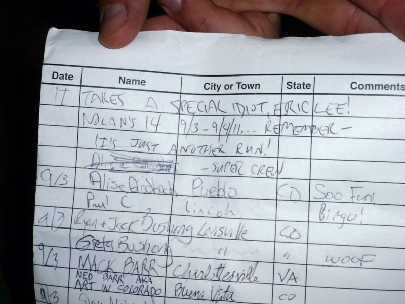 |
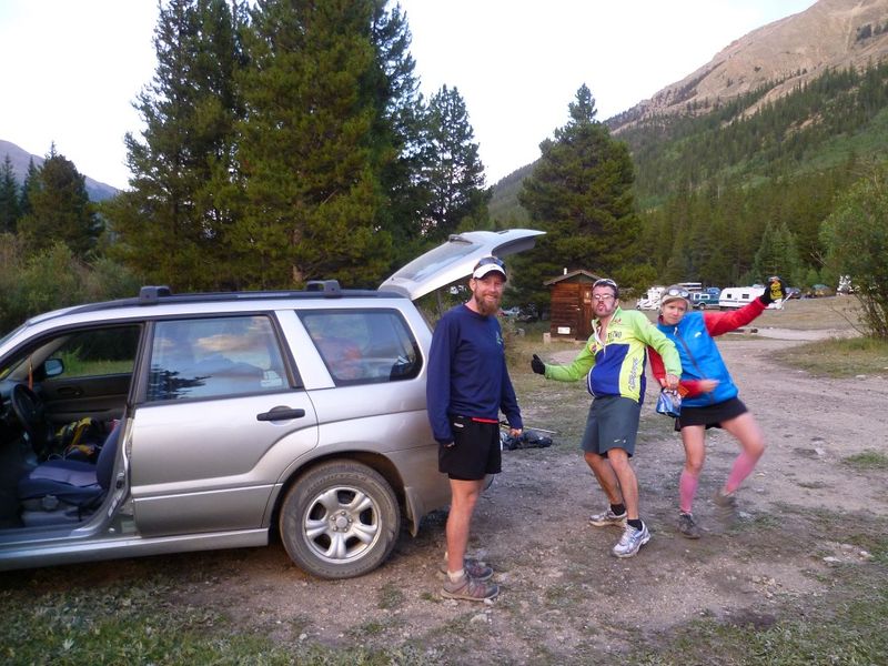
| Crew at Winfield | Sunset from near Winfield | Note from Andy Gerber on Huron |
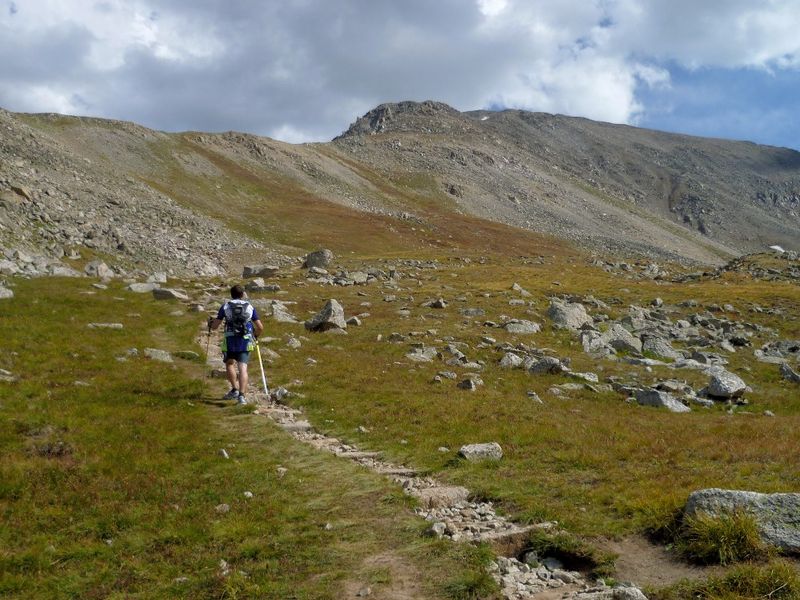
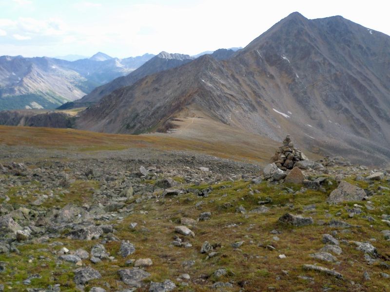
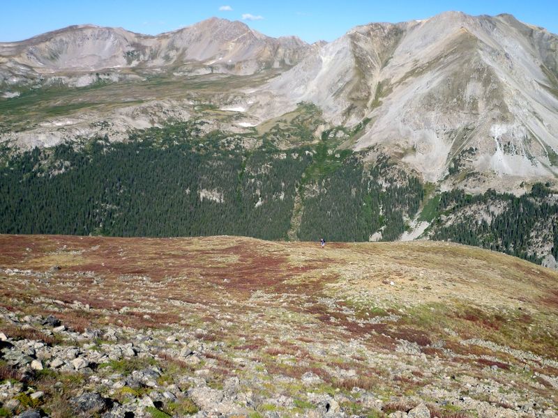
We hopped our way down to the saddle and dropped off the West side of Huron into the basin above Lois Lake. I scouted this about a month prior so felt as though I could navigate us down through the mess of talus and trees. In the dark, things are a lot harder, so it took us a few tries to find the correct grassy descent gulley. At last I located familiar ground and we were able to follow the cairned use trail down past Lois Lake, continuing to follow the trail as it descended along side the cascading outlet. Iĺve used two different methods of descent, following the creek and following elk paths on a descending traverse toward the outlet of Clohesy Lake. This night we opted to follow the path along the river, then to boulder hop down the drainage until dense brush forced us into the woods where we picked up intermittent game trails that finally led us to Clohesy Lake. We crossed the outlet on the log bridge Iĺd also found in scouting and hiked on up the little hill to rejoin the trail to Missouri Mt, 12:20am
As we crested a small knoll we were greeted by a dozen or so very jovial individuals whose camp fire weĺd seen from up near Lois Lake, and they our lights. We said hello and proceeded to climb up the steep trail leading to Missouriĺs NW Ridge. The trail climbs very steeply at first then finally begins to level of in the hanging valley West of Missouri Mt. This creek around 11900ft was our last chance for water for quite some time, so I refilled my camelback and we headed up the steep tundra toward the NW ridge. At first there are cairns, but those soon disappear and one is left with the simple task of heading uphill until you reach the ridge crest. The cold night air was still squeezing my lungs and it was hard for me to get much oxygen to my strong, but under utilized muscles. I did my best to keep a consistent cadence, and soon found myself atop Missouriĺs broad summit, 3:10am. We had decided on the ascent that to shorten the amount of climbing and reascending I would have to do weĺd drop off the Missouri/Iowa saddle and traverse over to Elkhead Pass from the backside. I took a few steps off the summit and John asked, ôwhich way do you want to go?ö I looked around and noticed I had started walking toward the East ridge, no thanks, and turned around and began the descent toward the Iowa saddle.
In the pitch black of the night it was hard to get a gauge on our surroundings, even the silhouettes of the peaks were hard to distinguish with no moon. We finally made the saddle and dropped down the steep tundra toward the bench around 12900ft where weĺd start out traverse to the pass. As we traversed toward the Pass the hill began to fall away faster and faster, until John gave in and dropped down into the basin looking for the trail (12800ft). I continued my side hill traverse eventually reaching the trail and meeting up with John. We climbed the last few hundred feet to Elkhead Pass and then banked a right up the slope toward Mt Belford. For now the peaks were getting closer and easier. The grade of the trail heading up Belford was just shallow enough that I could settle into a solid hiking pace without exacerbating my constricted lungs too much. By now the temperatures had dropped into the low 30s/high 20s and I had every piece of clothing on in an attempt to stay warm. It was not very comfortable, but it would do for the night, as I kept having to scrunch my fingers up in my gloves to prevent complete numbness.
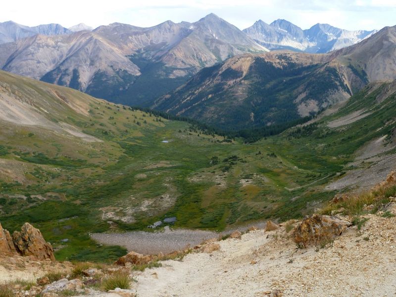
We summit Mt Belford at 5:30am (peak #6) and immediately took off for Mt Oxford, a short 1.5miles away. As we hiked across the saddle toward Oxford the first signs of the impending sun shown on the horizon, and with it hopes of warmer air and a little energy boost. As we sat down on the summit of Mt Oxford behind the wind break to eat some food, the sun slowly crept above the horizon. Itĺs iridescent glow lit up the surrounding peaks one by one painting everything with hues of pink and red. As I sat there contemplating where I had come from, what I had completed so far and what lay before me a true appreciation for it all came over me. Very few people will get to see and experience all I have on this journey in a lifetime let alone in the day and a half it will take me. Then I remembered the daunting task ahead, a 3000ft drop down to Pine Creek before reascending 3200ft to Mt Harvard, all in the span of 4miles, argh.
 |
 |
 |
| Summit of Missouri Mt | Sunrise on Mt Belford | Harvard from Mt Oxford |
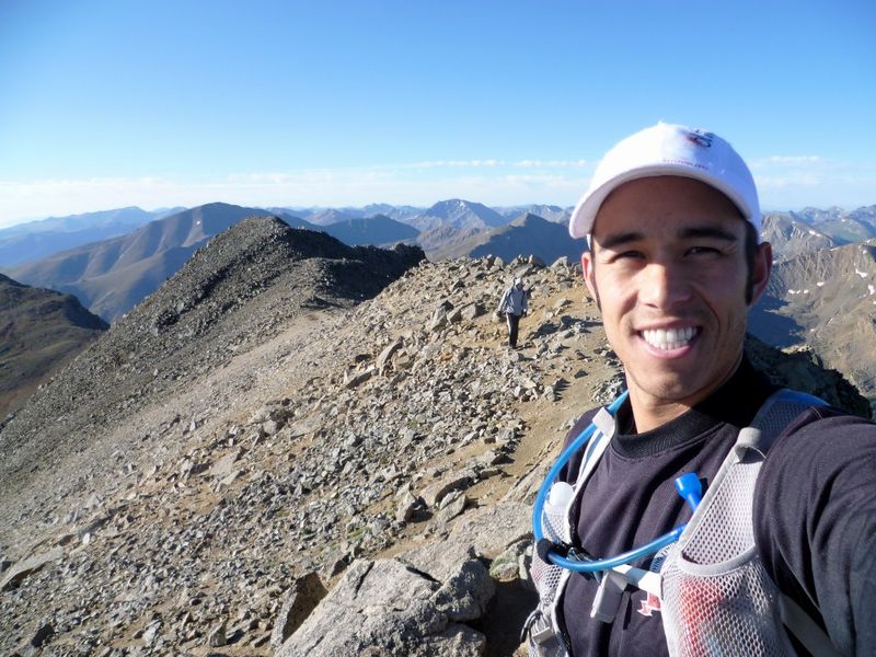
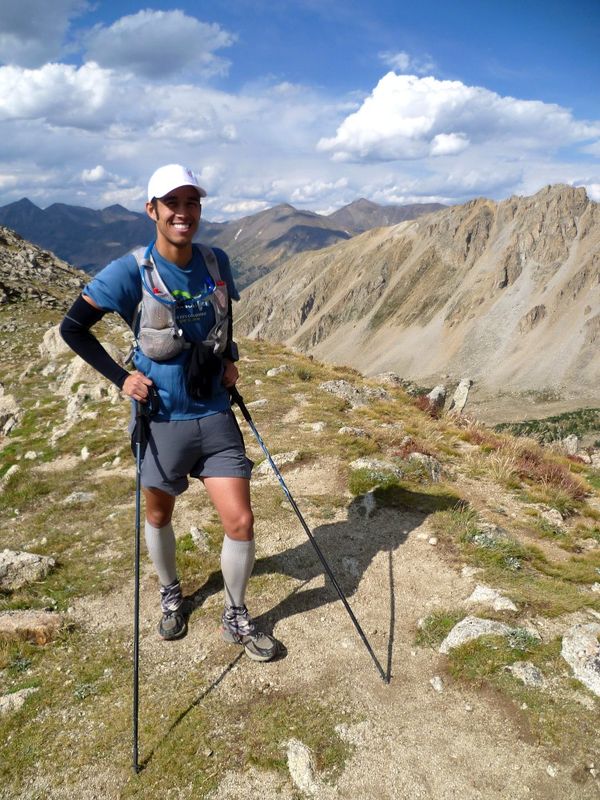
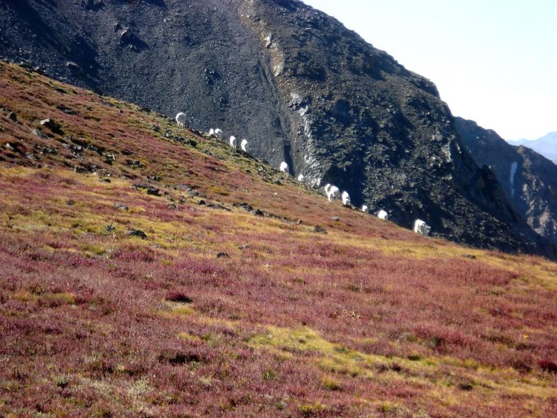
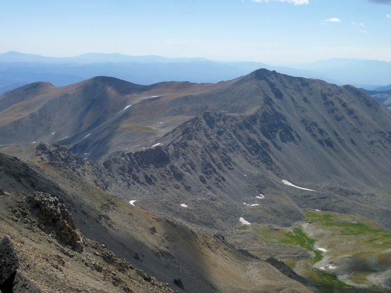
We quickly took off up the trail in search of the stream weĺd seen from above as we were both out of water and a little dehydrated. We filled our camelbaks from the side stream and headed up to the top of Bedrock falls, which was our next waypoint. We hopped across rocks over Pine Creek and began our ôbushwack up to treelineö. To avoid the cliffs at the very base of Harvardĺs North ridge we bushwhacked through dense brush, again on game trails around to the west side of the ridge where the tundra opened up and passage was much easier. We continued up the steep tundra until we finally reached the first sub peak along the ridge at 13400ft. With the warming air and the sun shining I was feeling good again and we hammered away up toward Harvard. The views from this ridge are nothing short of spectacular. The massive expanse of Missouri Basin is laid out several thousand feet below, stretching nearly 3miles across. A herd of mountains goats scampered out of our way as we neared the last two steep steps before the summit of Mt Harvard. I plopped down on the summit of Mt Harvard at 11:10am very satisfied with how well Iĺd climbed and finally realizing I was actually going to make all nine peaks Iĺd set out to summit almost 29hours ago. We radioed over to Pete who had just ascended Columbia that we were heading across, he said heĺd meet us just above the rocky traverse.
 |
 |
 |
| John on Mt Harvardĺs North Ridge | Mt goats on Mt Harvard | Mt Columbia from Mt Harvard |
 |
 |
 |
| Me Struggling up Mt Columbia | Summit of Mt Columbia, pretty beat | Descending the scree off Mt Columbia |
Recovery and Reflection
After dropping off John in Buena Vista with his family I took Pete back to Leadville to get his car. I drove back to my campsite along Halfmoon Rd, just me, sponged off in the river, ate a little food, had a beer, and passed out at 7pm not to awaken until 730am the next morning. In just under 35hours I had completed 9 of the 14 peaks along Nolans14, while I had the time to continue I did not have the energy. This was by far the longest time Iĺd ever been on my feet continuously, the most elevation Iĺd ever gained in one push, and the toughest challenge Iĺve undertaken to date, even more so than my 100milers. Iĺm in complete awe of the four who have completed the entire Nolans14 route; Mike Tilden, Blake Wood, Jim Nelson and John Robinson are in a different league.
Despite the pain and meltdown at the end, it was a spectacular journey through a portion of the Colorado Rockies that has become special to me. Not because they are the most spectacular, not because they have the best peak bagging routes, not because they are the most remote but because the time I have spent in them has allowed me to learn so much about myself, what I am capable of and because this route known as Nolans14 has reminded me that every mountain has so much beauty and serenity to offer, no matter how many people are standing on the summit when you arrive, the summit is just a small portion of the journey up a mountain. For now I am very satisfied to have completed nine peaks along Nolans14 in just under 35 hours. This combined with my 2009 run of the five southern mountains in just under 23 hours means Iĺve connected all 14 peaks over two different trips (under 60hours no less). This is a far cry from actually completing Nolans14, but there is no doubt in my mind I will be back again, though next time the end goal may be Blank Gulch and nothing in between. Special thanks to Pete, John (Homie), Amanda, Ben, Michael, Stephanie and Chris for joining me on this trip, supporting me and making this possible.
Gear List
Entire Day: Ultimate Direction Wink pack, 2L camelback bladder, 1L collapsible platypus bag, emergency kit (space blanket, garbage bag, band aids, gauze, antiseptic wipes, whistle, lighter, 2.5ö pocket knife, small headlamp, chlorine tablets), spare shoe laces, toilet paper, 2 extra zip locks, Black diamond Z-poles, arm warmers, liner gloves, Golite Virga jacket, fleece cap, Panasonic Lumix FH1 camera, Garmin Foretrex 101 with 4 extra AAA batteries, hand warmers, various medications.
Night Time: Wool cap, Powerstretch fleece jacket, heavy fleece gloves, under armor tights, Petzel Myo headlamp, Gerber LX3 flashlight, 6 caffeine pills, 5h energy.
Notes
A few notes about my trek. I started at the Mt Massive N Halfmoon creek, because logistically it was going to be too hard to try and start at Fish Hatchery. Also for 7 of the 9 peaks I had people accompany me, partly for safety, partly for personal enjoyment. Since no pacers are allowed for Nolans14 I led most of the time and did almost all the navigating and route finding to stay true to idea of Nolans as a personal endurance and mountaineering challenge. I feel that these small exceptions that I took were far outweighed by the fact that I had no other ôrunnersö on route with me and I climbed six peaks over 21 hours without any support or aid stations.