It had been over 3 years since my last 100mile race (2015 UTMB), and with family now in the Durham region it gave me a little extra incentive to try my hand at an East Coast 100. If you know me you know I like things with lots of climbing and the more technical the better, so the Grindstone 100 seemed to fit the bill. I spent my summer doing my usual thing of running around the mountains and just playing, though I threw in some long runnable mountainous terrain, knowing that Grindstone had a lot of runnable vertical and my legs would need to be in shape for the grinds.
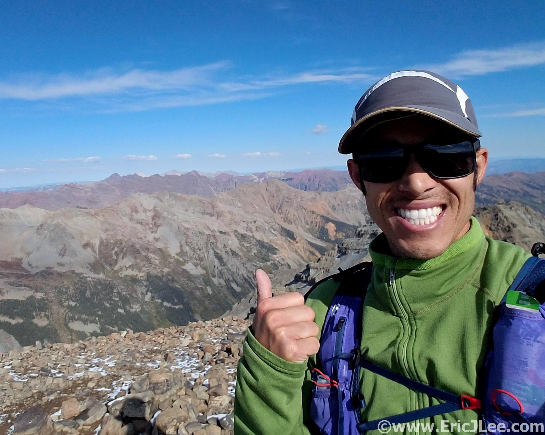
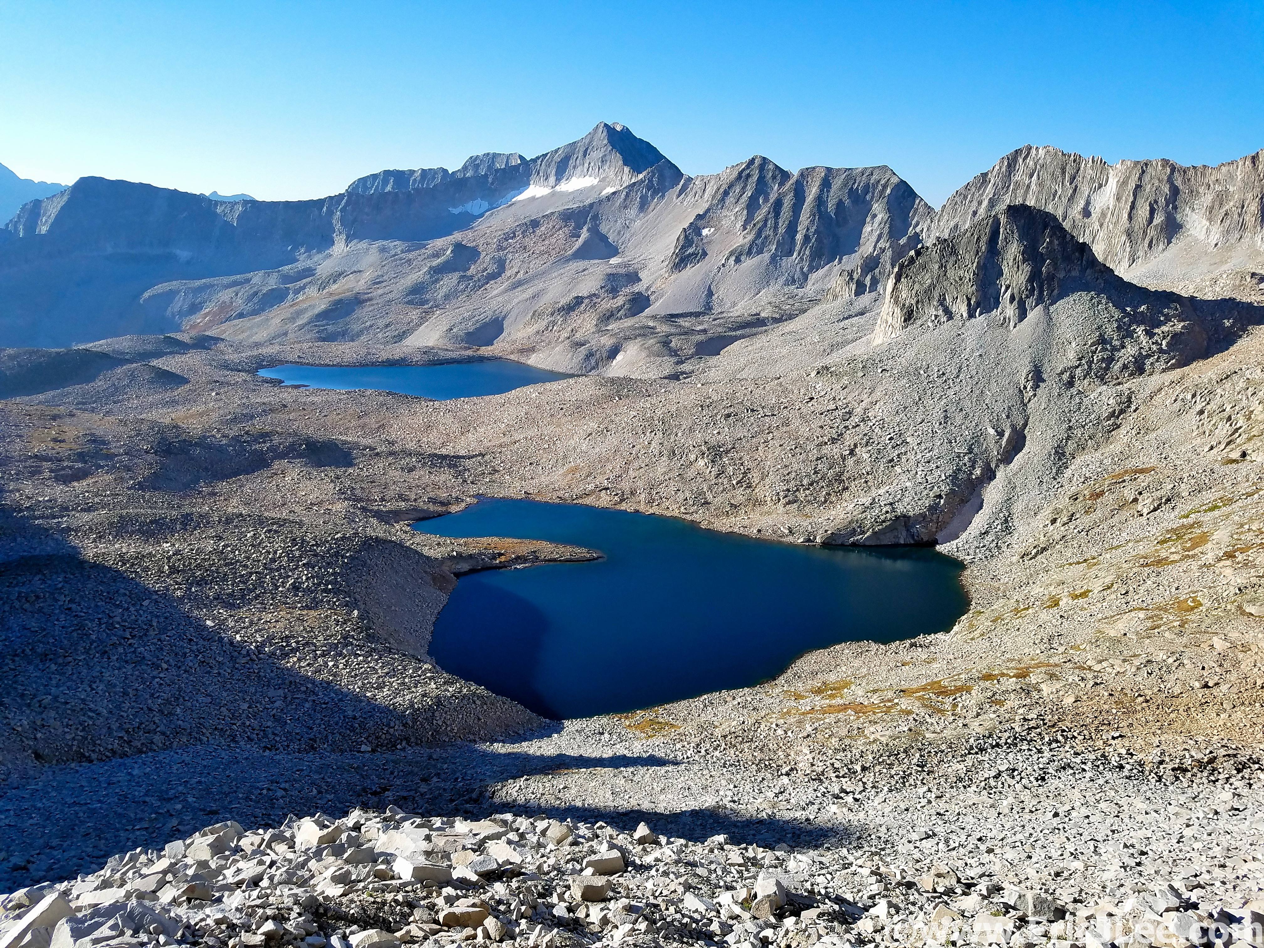
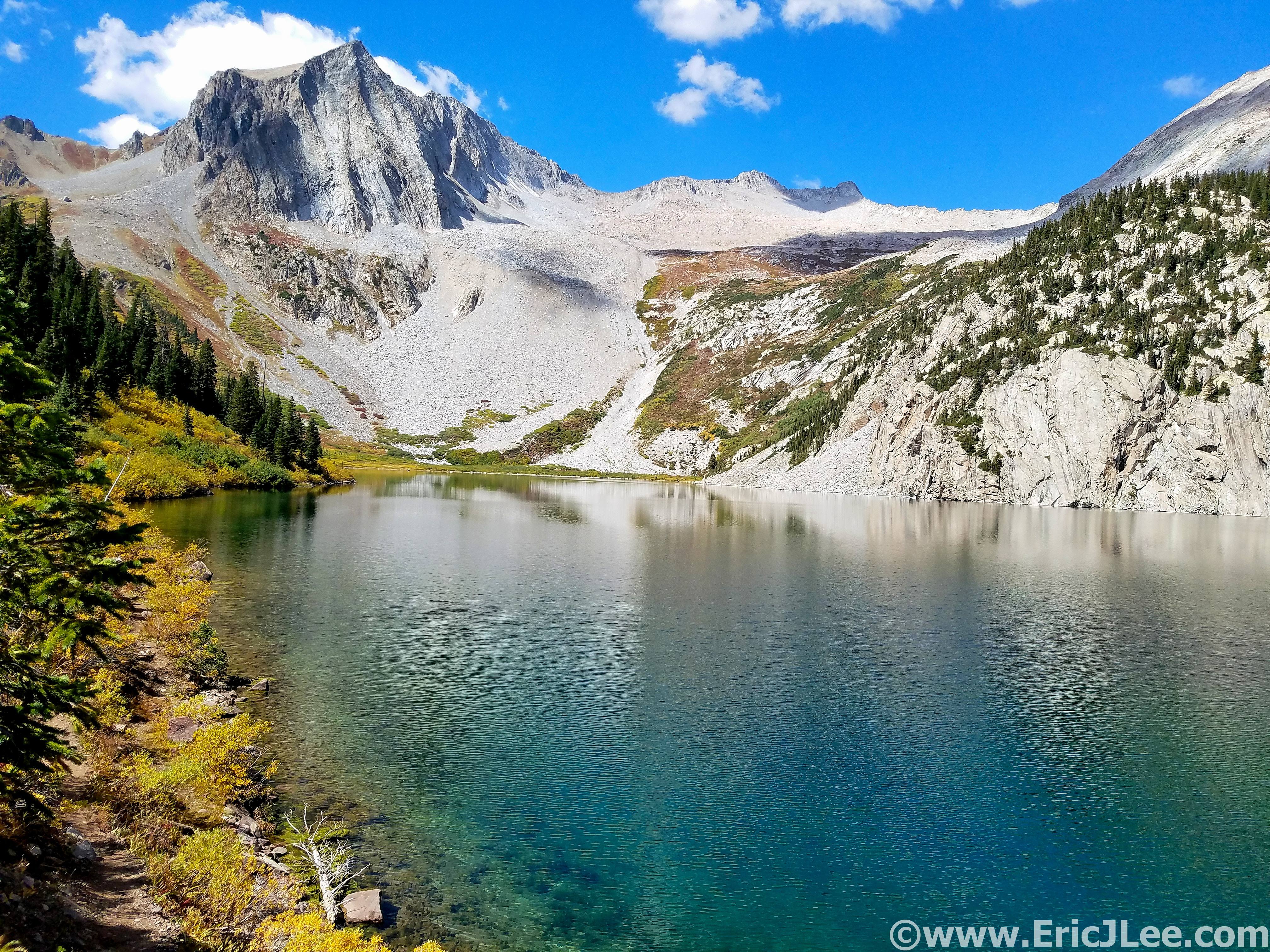
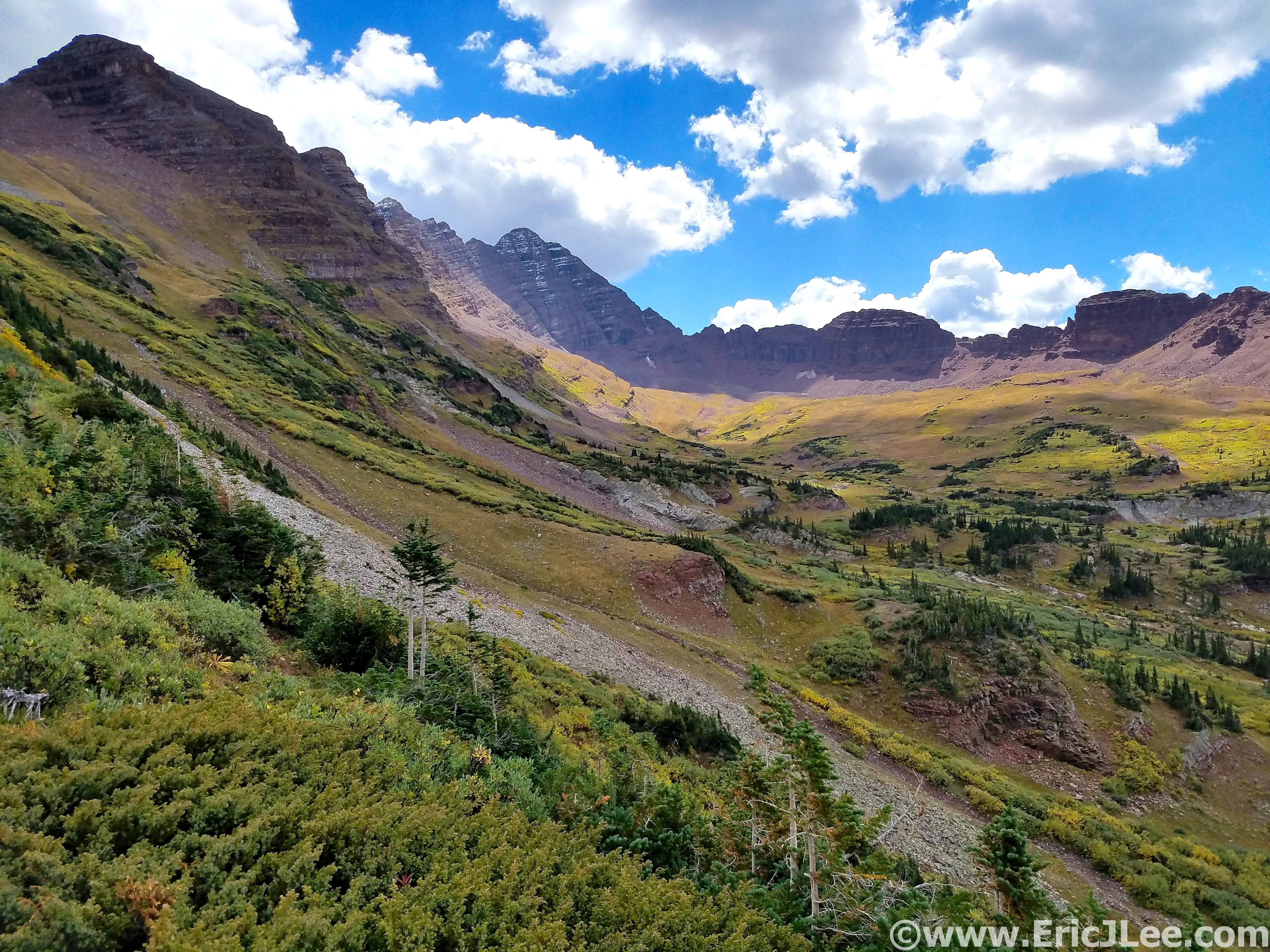
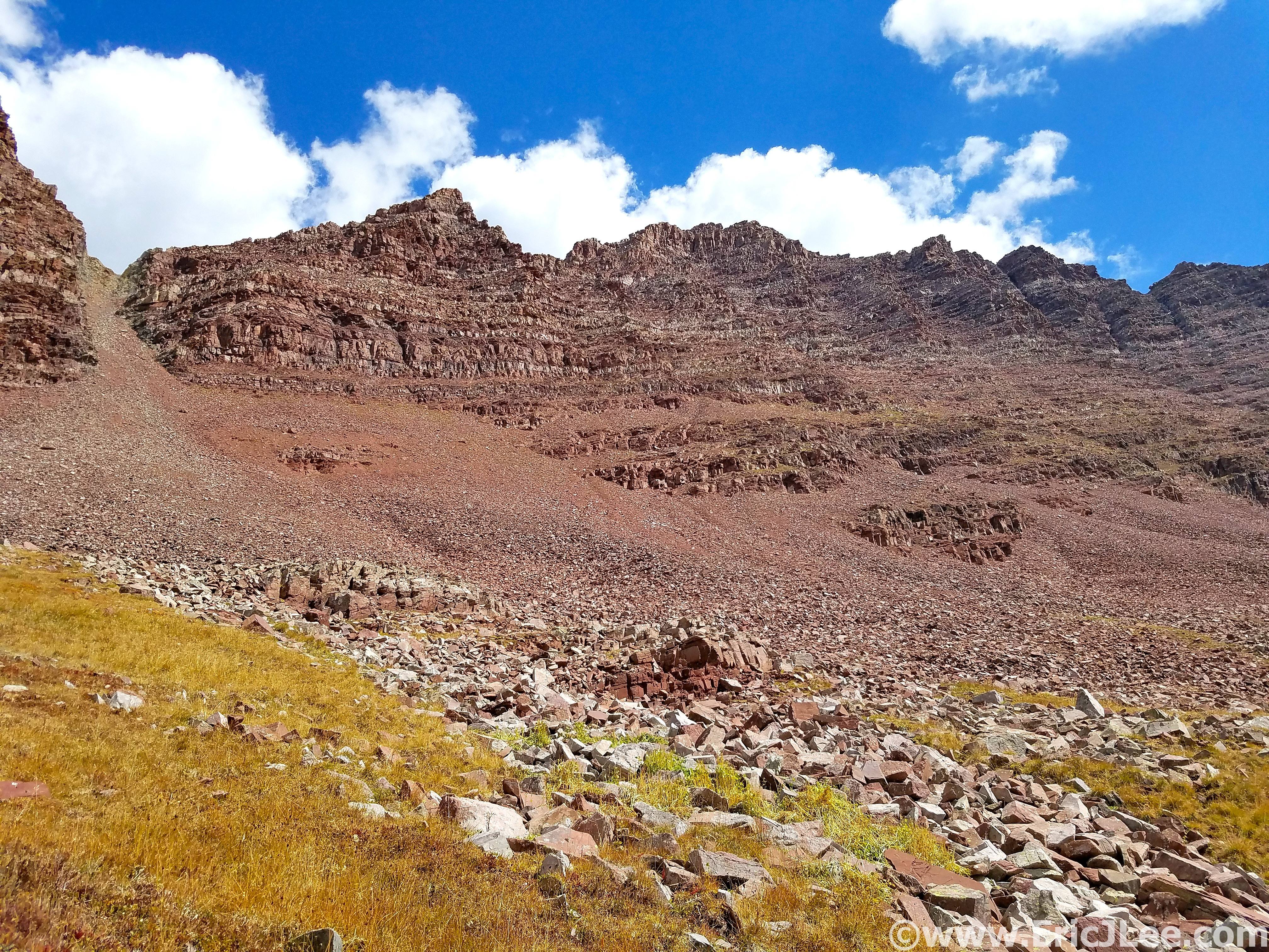
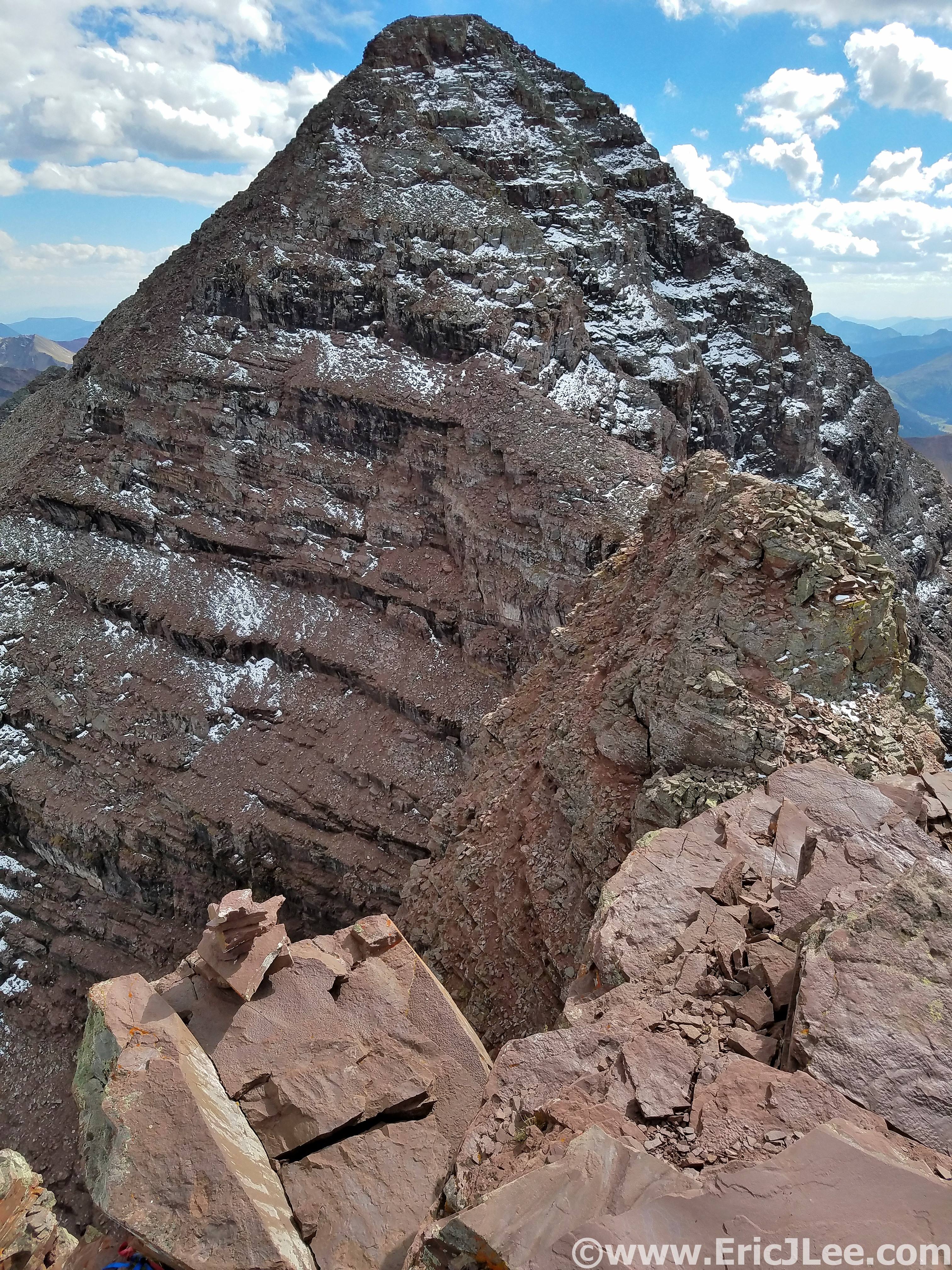
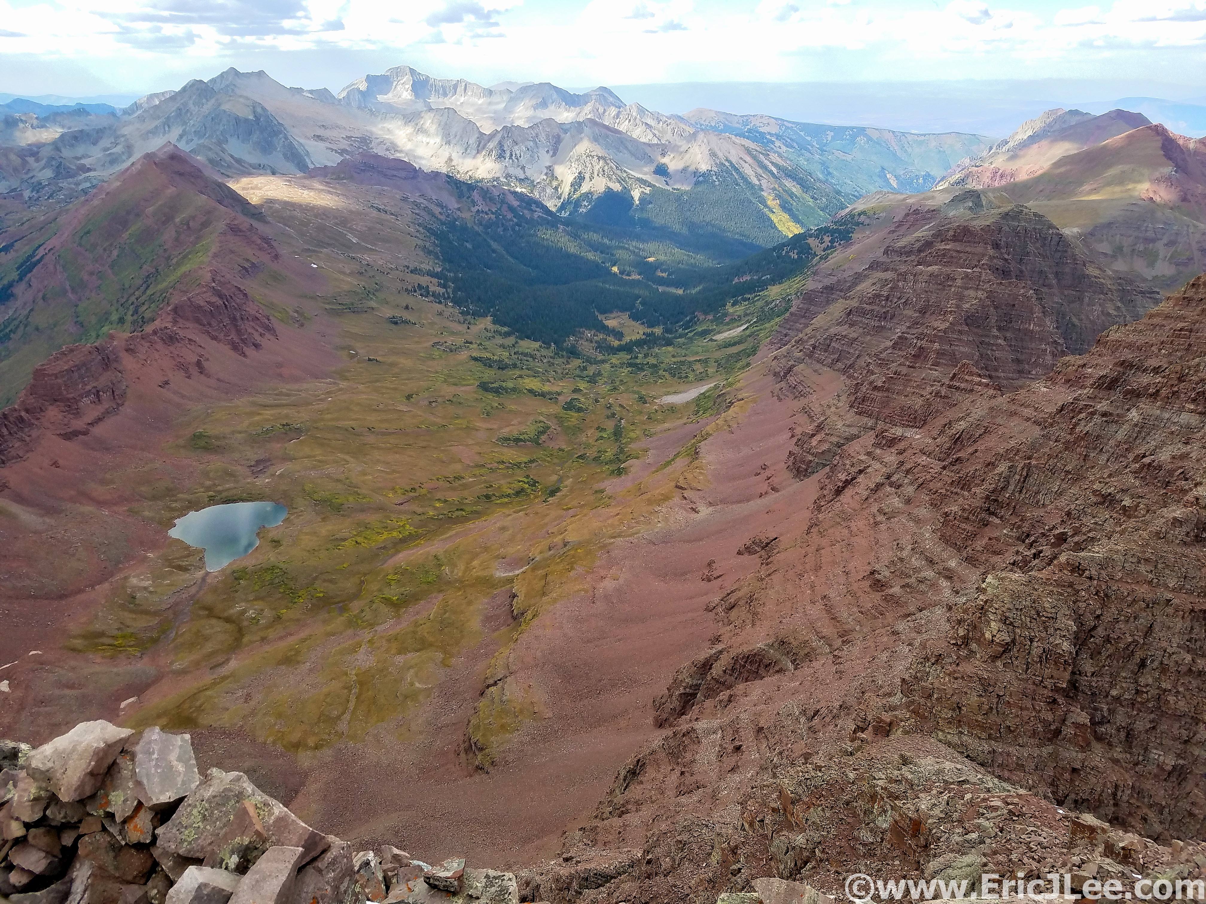
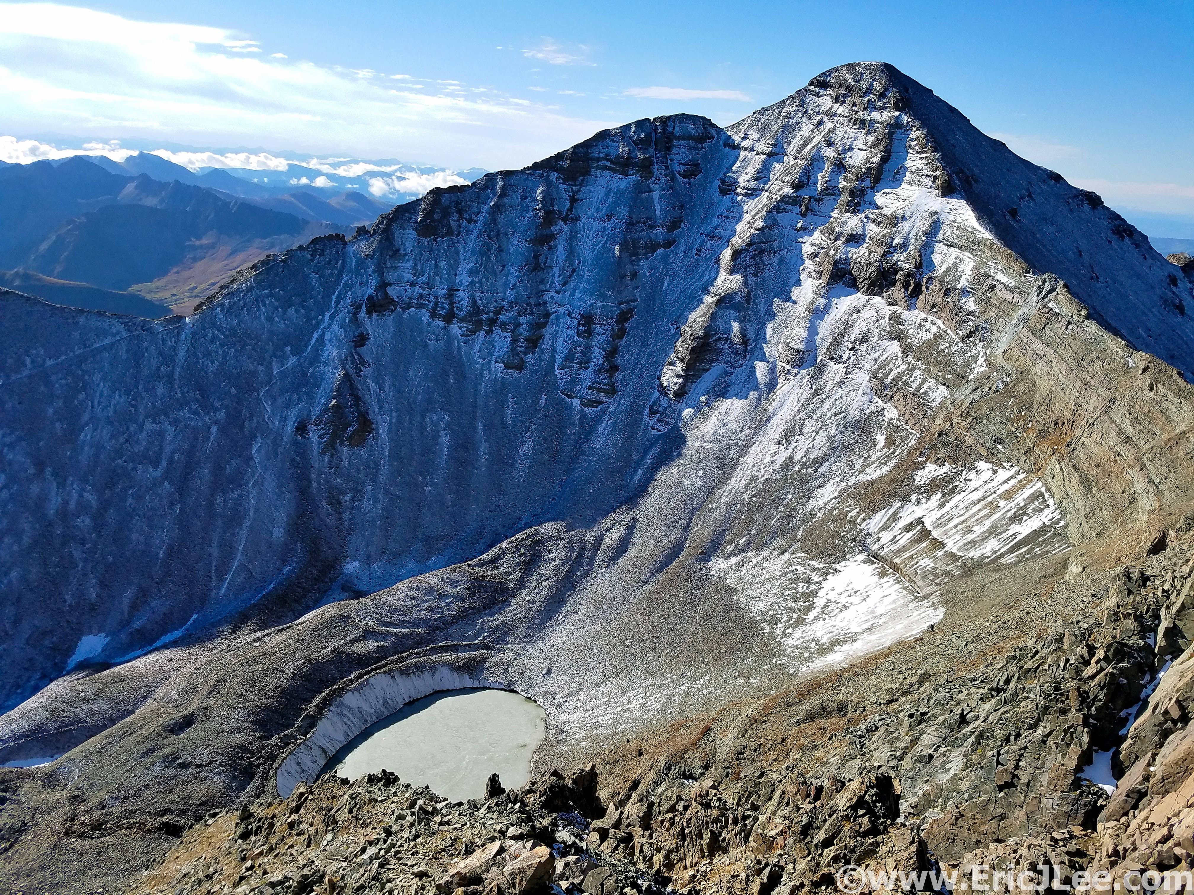
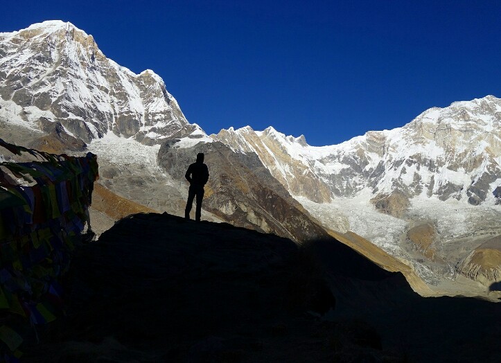
On the summit of Castle Peak, with the rest of the Elks over my shoulder, it was a long journey.
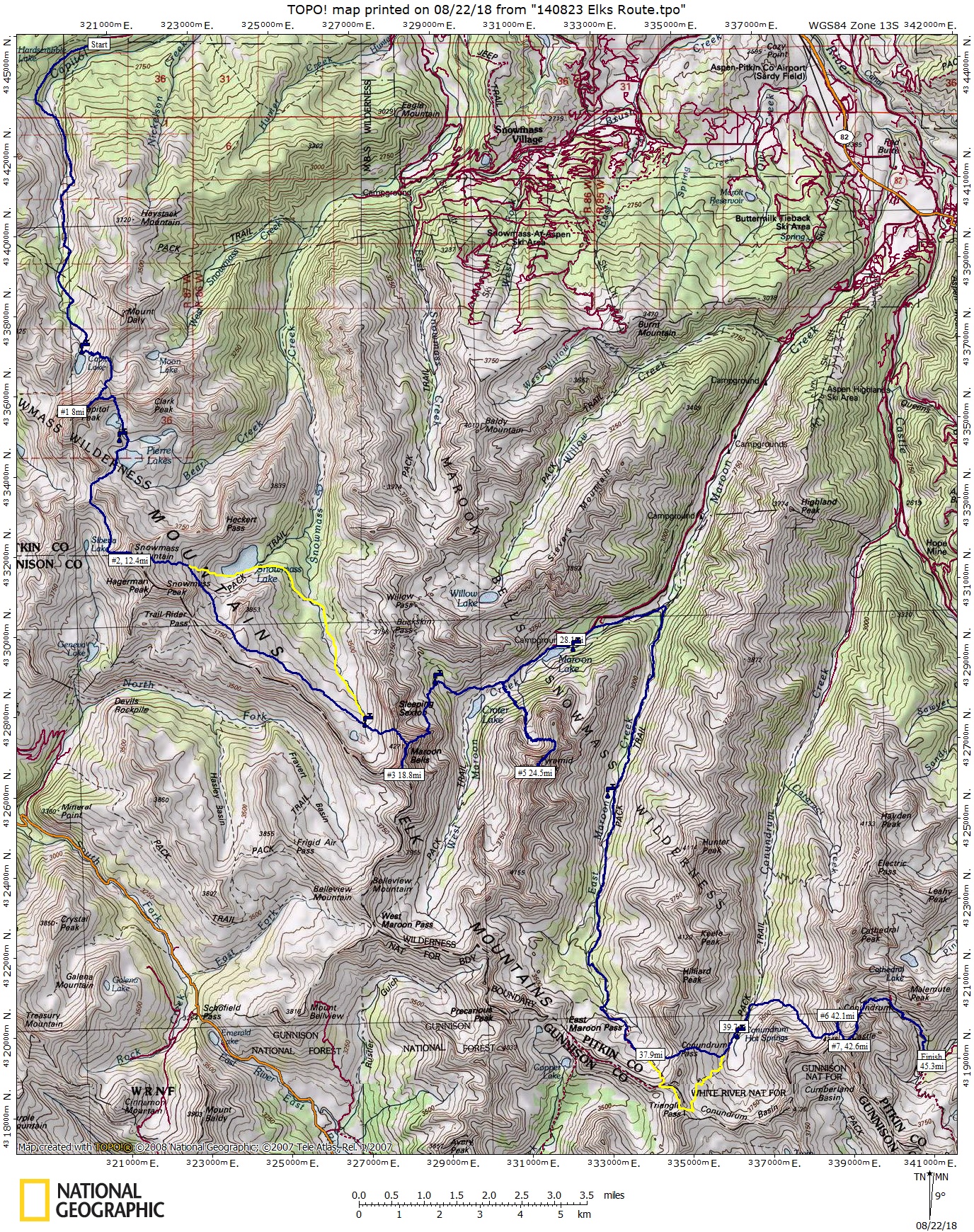
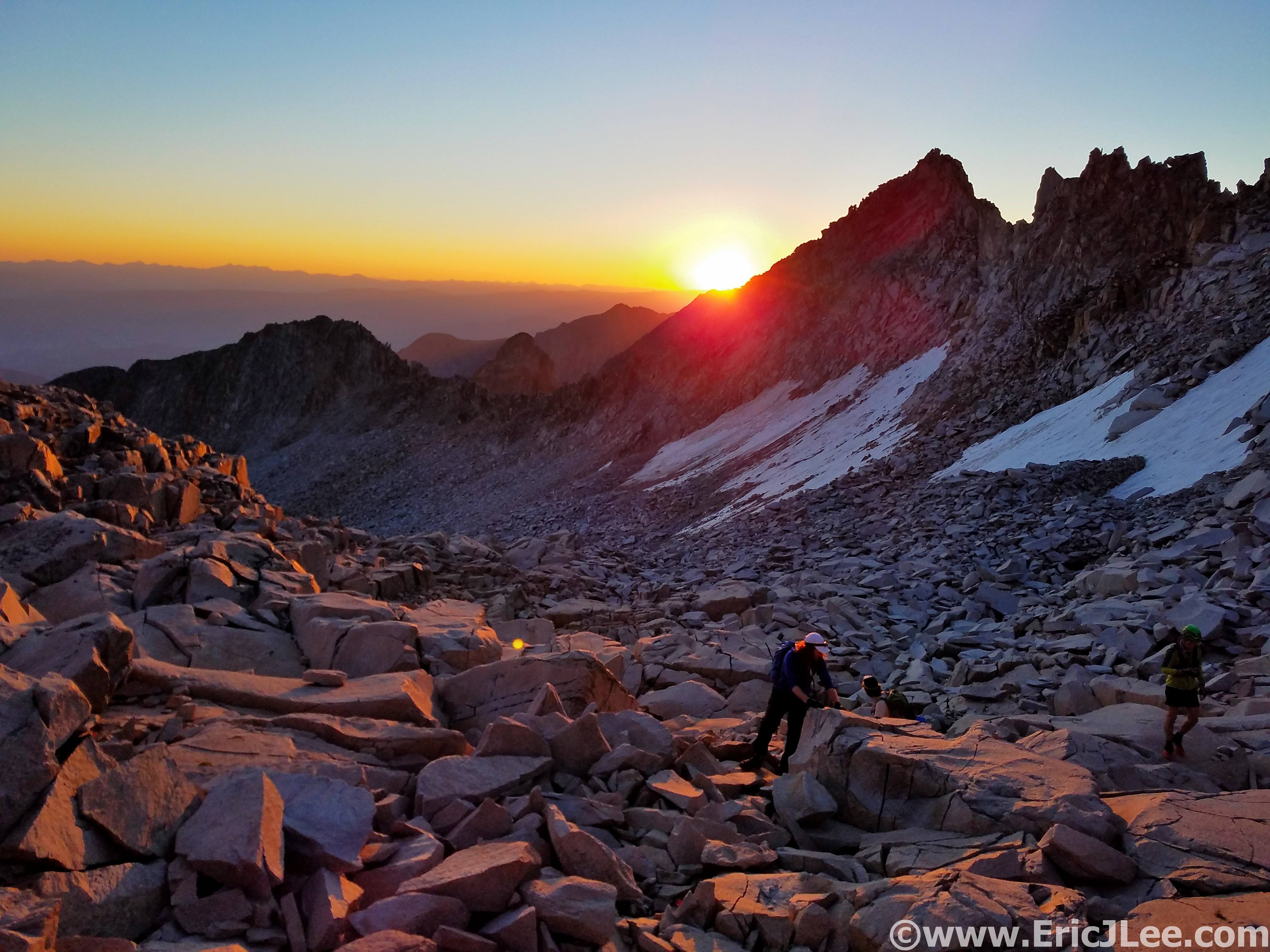
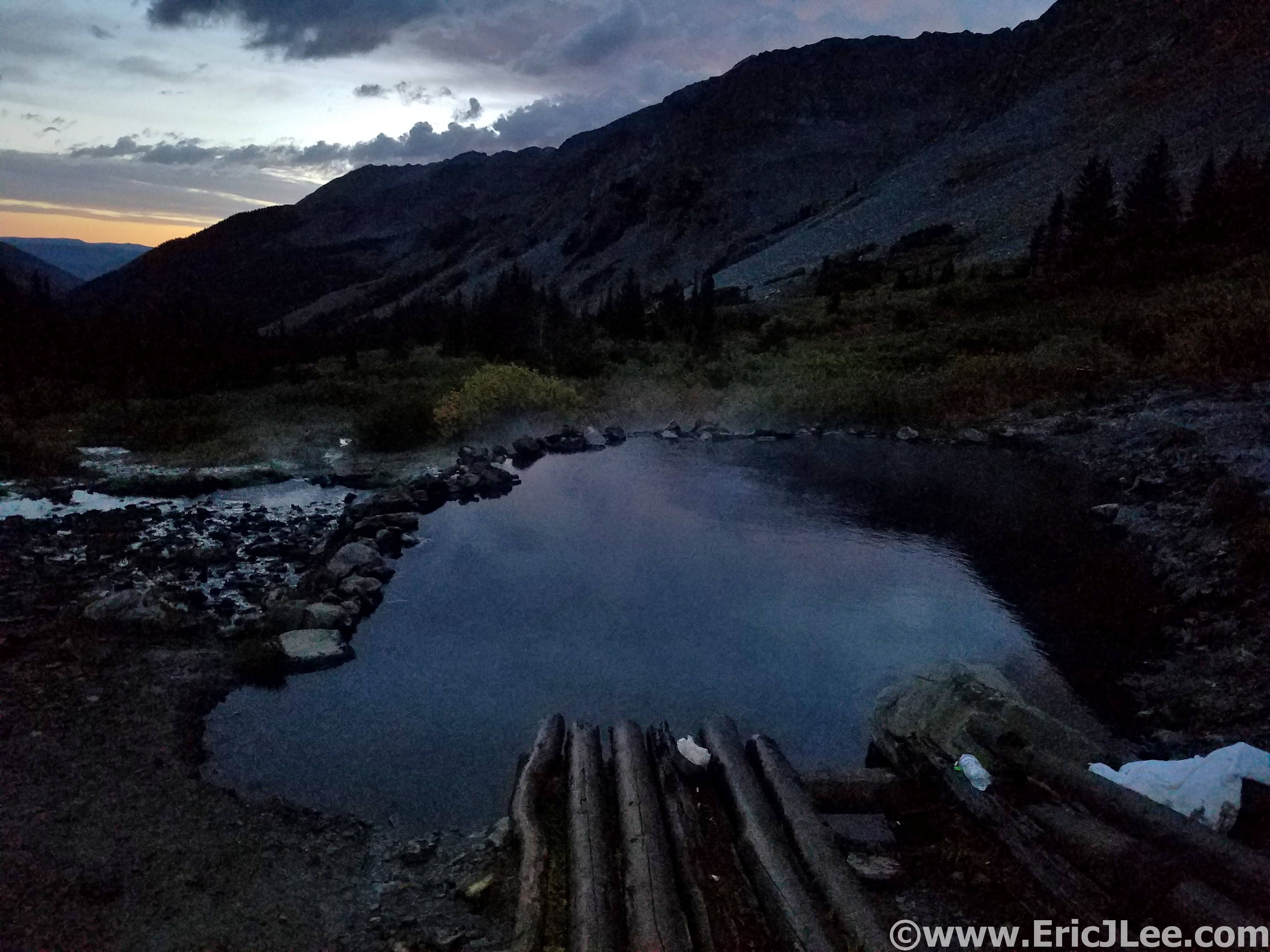
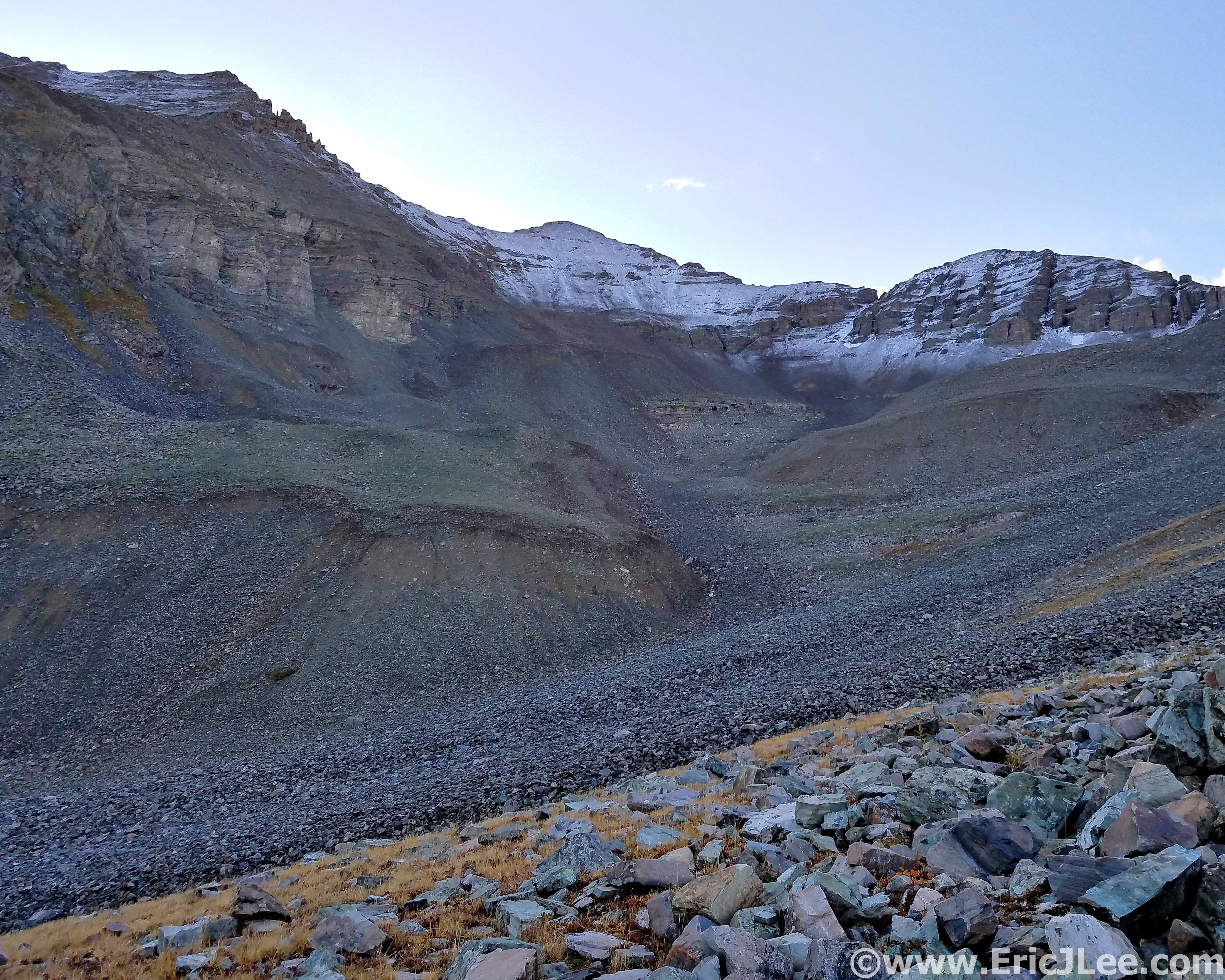
Maybe it wasn’t the most appropriate training, but on September 9th I completed a 31hour solo ‘run’ of the Elks 14er traverse. The 55mile, 24000ft vertical, class 3-5 felt good and I had faith that if all else failed I could slog out Grindstone. So all that was left was a few maintenance runs and a solid taper. Well I kind of failed on the taper part, throwing in a few flatiron tempo run/scrambles and the week before Grindstone a 26mile pacing gig at the Bear 100, but hey, they were all tons of fun 🙂

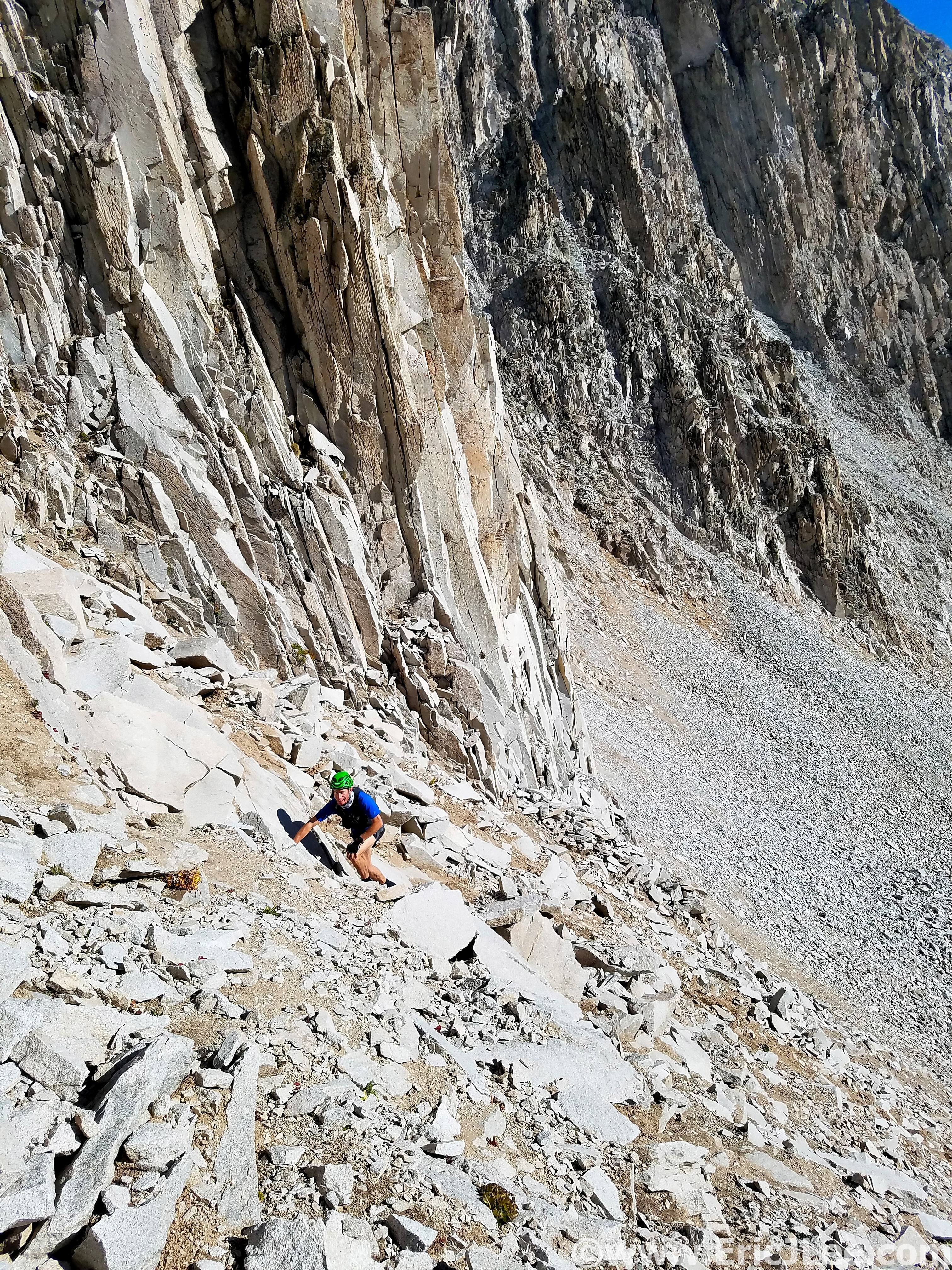
Scrambling up Fi Fun the week before Grindstone (I’m third), its hard to taper with cool shit like this in the backyard. Photo by Todd Straka.
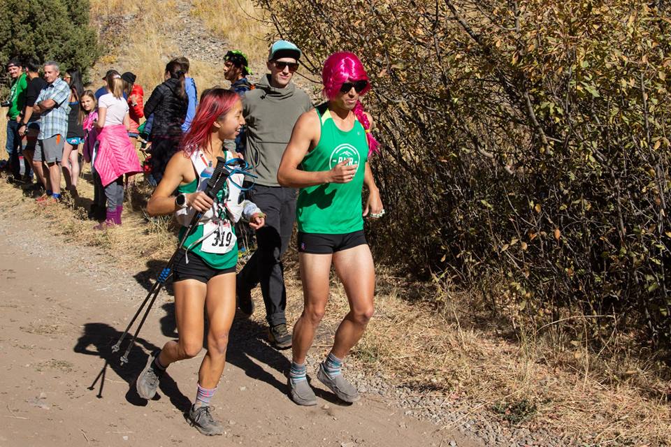
Pacing Bailee at the Bear 100, we were twins! Photo by Lori Burlison.
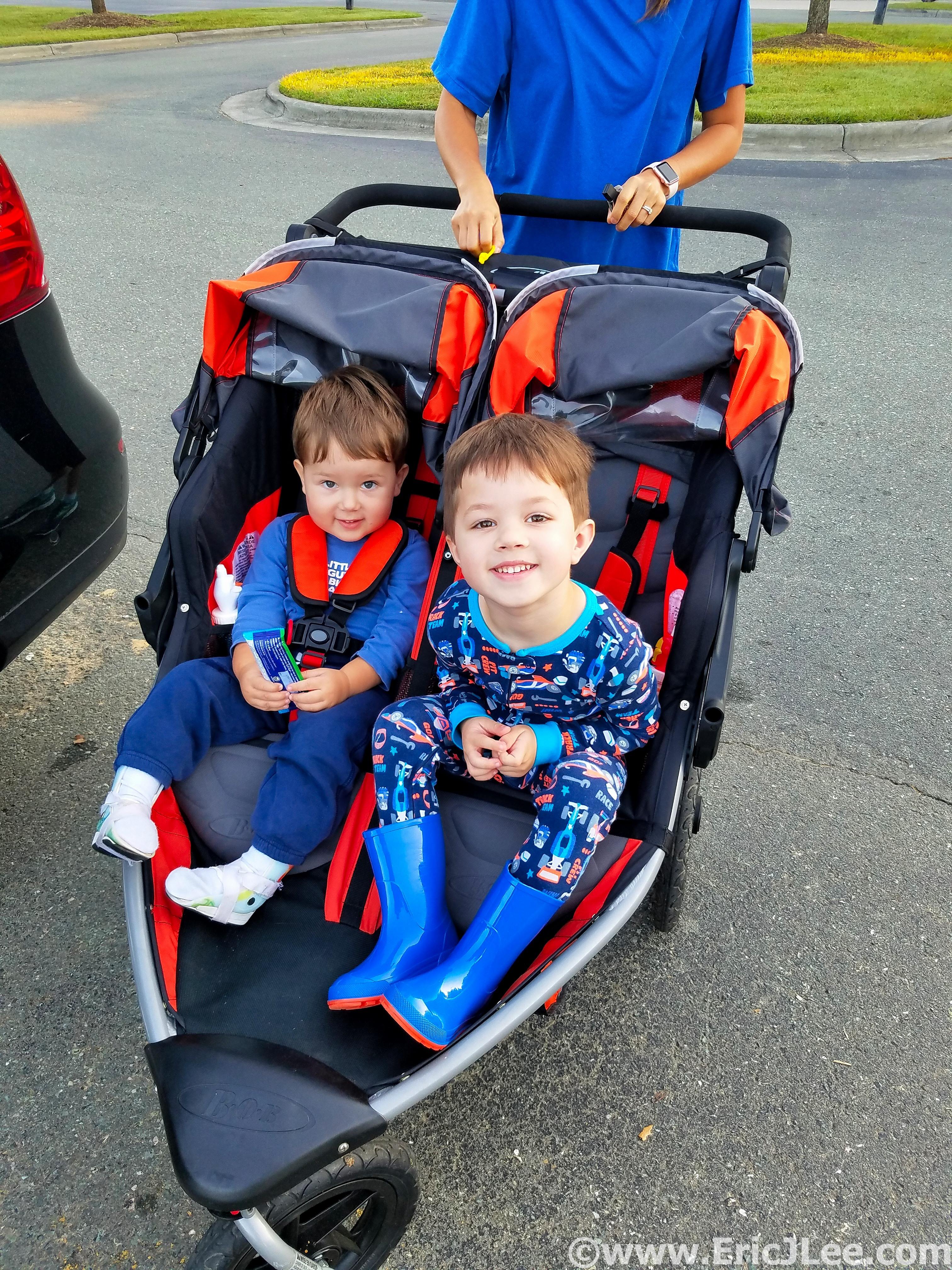
Taper jog with the nephews and sister. Next time the older one will be pacing me!
The week before I spent a few days relaxing with family, slowly adapting to the steamy humidity of the East Coast. The race was shaping up to be a warm and humid affair (60s-70s). As I packed my drop bags I felt as though I was missing something, was I really not going to need any warm clothing? I arrived at Camp Shenandoah just in time for 2pm check-in, met up with fellow Coloradans Nick and Andrew and settled in for a quick race briefing before laying down to try and catch a few hours of napping in the steamy afternoon sun. I laid in the car for a few hours, not really sleeping, but getting some pre-race rest none the less.
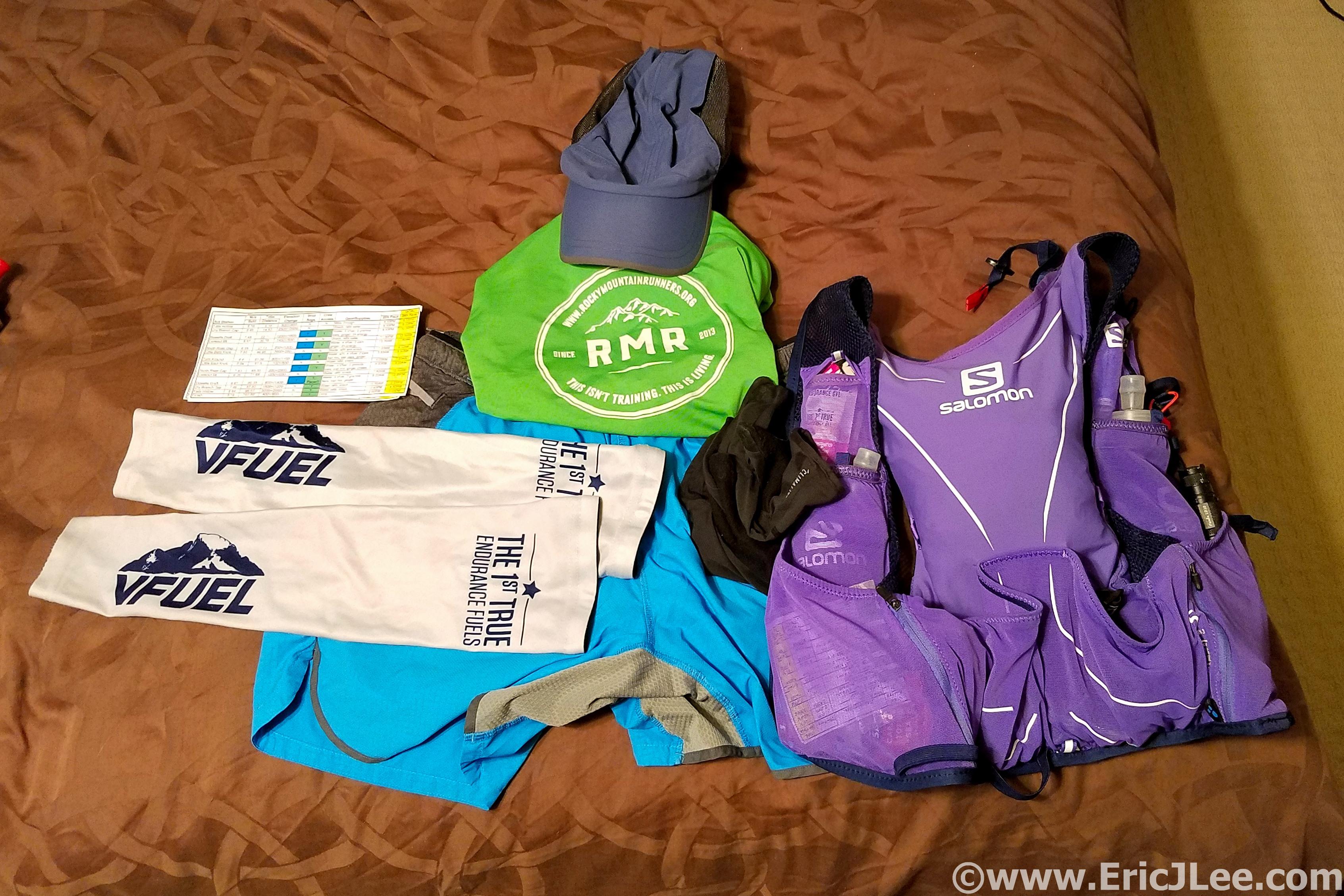
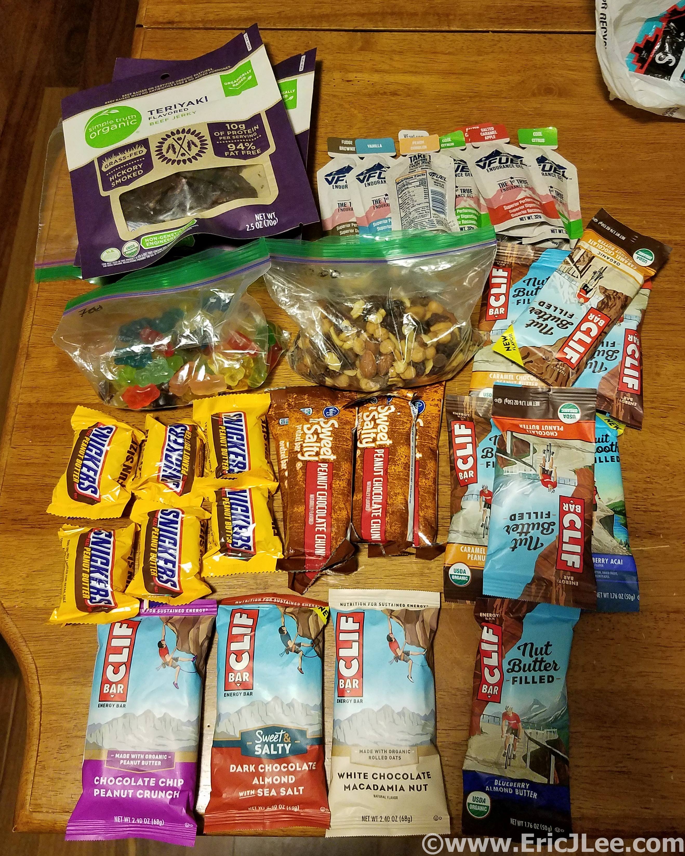
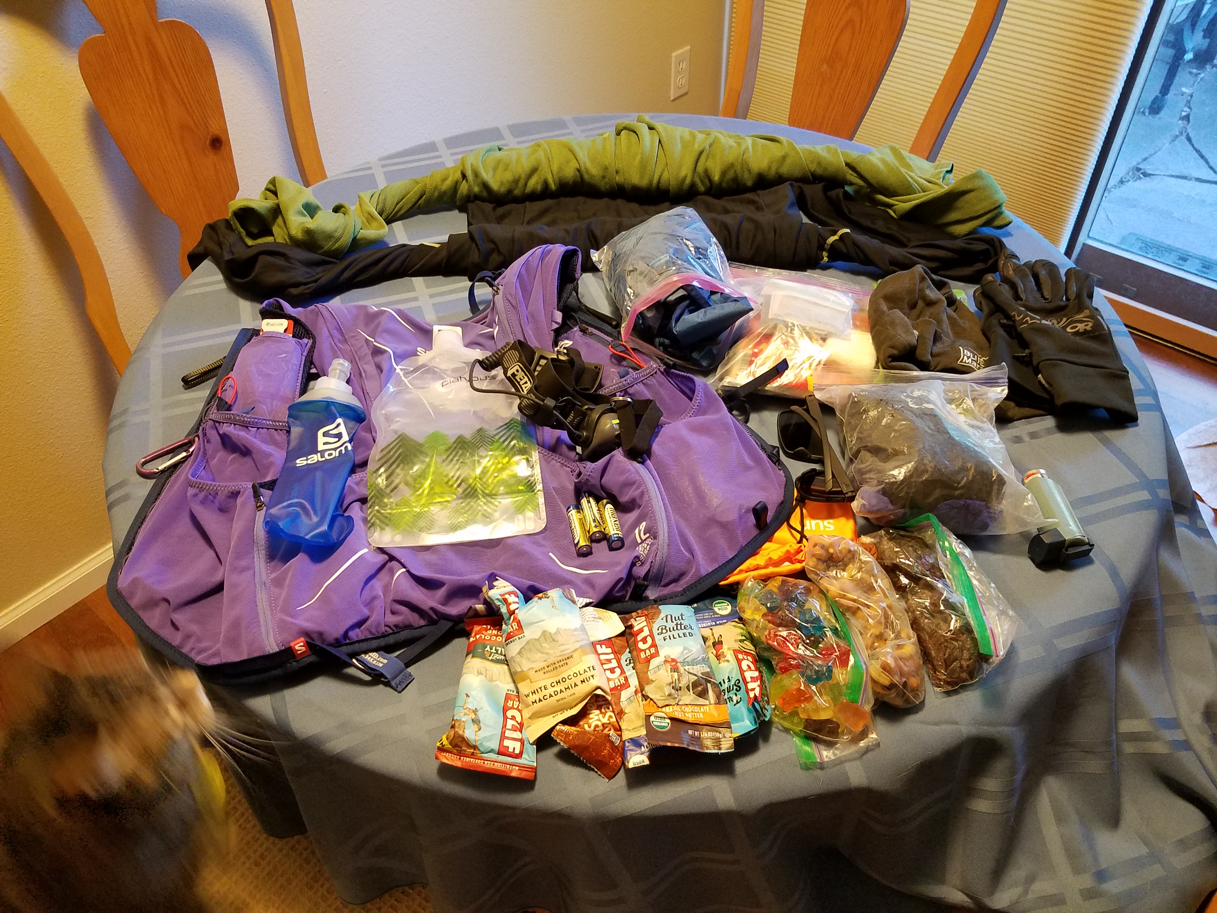
Race kit, ready to rock and roll.
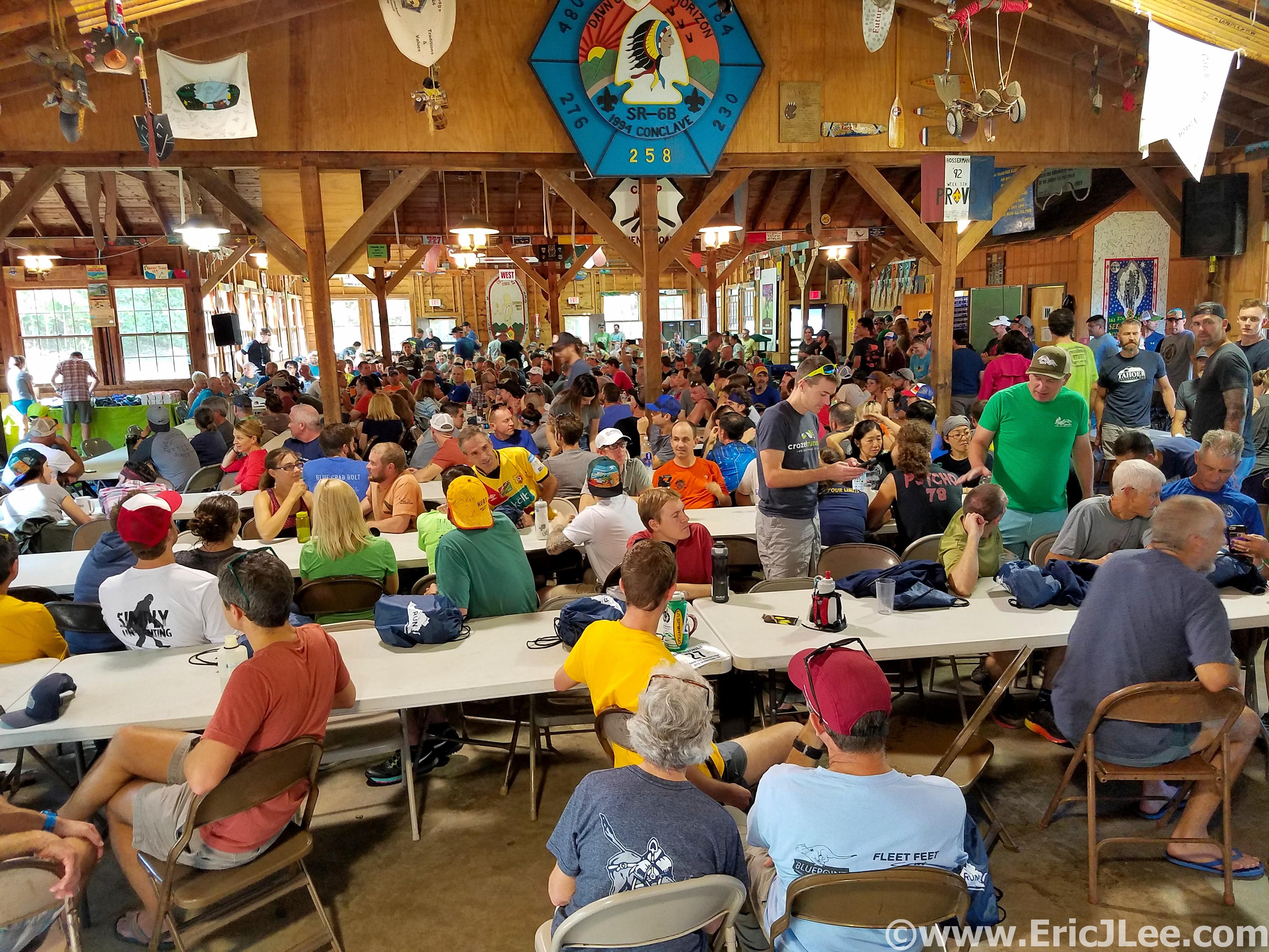
Pre-race briefing madness all crammed into the dining hall.
I roused around 5pm, did my last minute race prep, then made my way over to the start line. Runners were nervously wandering every which way and a crowd was gathering near the start line, it was almost go time. Pre-race I always try to keep my distance from too much of the madness, just trying to relax the nerves and the anxious energy, Grindstone was no different. A few minutes before 6pm on Oct 5th the mass of runners assembled behind the banner in the field, all of us hoping that in less than 38hours we’d be crossing back under that banner in one piece. I took my place about 3-4 rows back, hoping to start out more casually and to stick to my strategy of just cruising the first 51miles, then seeing what would happen after that. The count down was on, and off we went, at a hot 7min pace, no surprise there. I dialed it back quickly to an 8:30, much more comfortable and reasonable. You see, 100milers are, well, 100miles long, so hitting it hard the first few miles never does you any good.
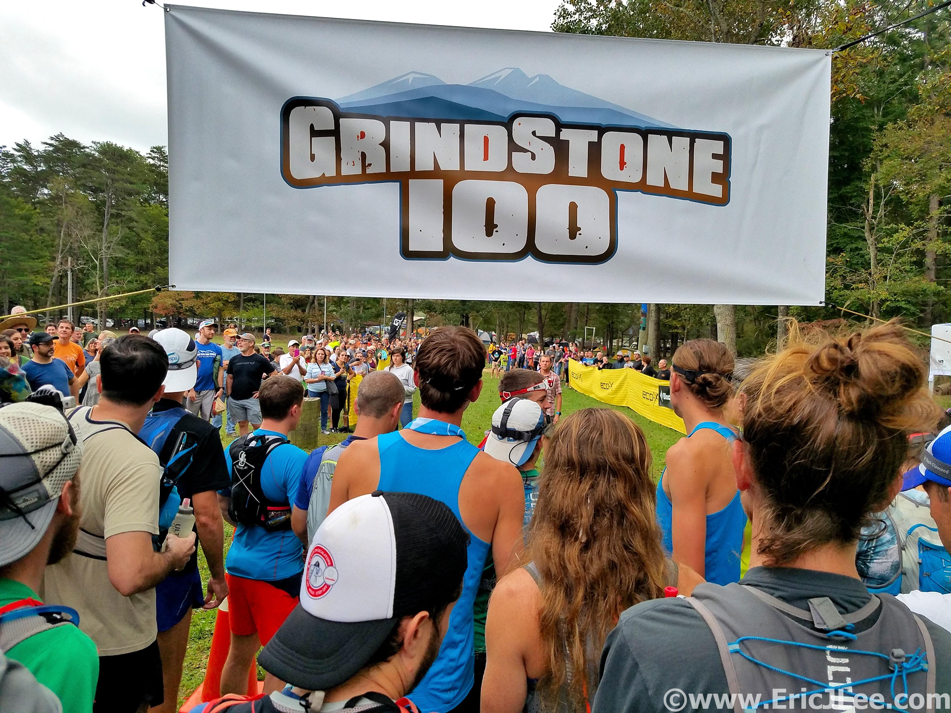
All lined up at the start, 70F and humid, its gonna be a warm one.
The first several miles alternated between single track, open double track road and rocky creek beds. The pace was quick as we all pushed to squeeze in as much daylight running as possible. I blew through the first aid station at mile 5 (as planned) and just kept on jogging toward the first major climb of the race to Elliot Knob. The initial part of the climb was fairly runnable, save for some really wet and rocky sections along the creek. As we made our way up through the trees another runner asked if anyone had checked the dew point….why would that matter, what a silly question, or was it??? When we hit the fire road that leads to the summit of Elliot Knob I was sooo excited to be in steep hiking territory, that’s where I excel (at least more so than running). I settled in to a nice strong power hike, slowly picking off people as we climbed up and up.
As we climbed higher the fog started to descend upon us, so that’s why he was asking about the dew point! Soon we were fully enveloped in a dense mist, our headlamps reflecting every way but to the ground, moisture building up on my eye lashes, this was going to complicate things for sure. Elliot Knob was full on zero vis, so I pulled off my headlamp and held it in my hand as I ran down the hill, catching up to Andrew as we made our way over to Dry Branch Gap (2:53). I eased off the gas a little bit on the rolling downhill and settled in for the long night ahead. The section from Dry Branch Gap through Dowell Draft, Lookout and into North River Gap was a misty blur. I settled into my own head and just let the miles flow by.
I jogged into North River Gap (7:30) at mile 37 feeling ok, the course had been very runnable to this point, definitely not my strength, but I was looking forward to the long climb to Little Bald Knob. I took a few minutes to refuel at North River Gap and started jogging up the rolling climb before settling back into a power hike. The fog dropped back in, and I was once again isolated, just me and my headlamp. After cresting the endless climb the terrain mellowed out and it was back to shuffling along the muddy double track (I gave up dodging puddles and just ran through everything), through the Little Bald AS up Reddish Knob, and finally on to the pavement that led to the Turn Around.
My legs were feeling a bit tight so I opened up the stride on the road, it felt good to just run downhill. I even flipped off my headlamp for a few minutes, and to my excitement saw the stars breaking through the fog overhead. After a fairly quick stop at the Turn Around (11:20) I settled into a brisk power hike back up the road. When I crested the uphill near Reddish Knob and began running down the muddy road everything just felt good, so I started pushing the legs a little faster, then a little faster. I ran all the gentle uphills and cruised back into Little Bald Knob AS with a new fire, now I was racing. I jogged most of the rolling uphill back to Little Bald Knob as the first rays of sun light streamed through the fog. It was game time, and I opened up the pace hammering the downhill, passing 6 more runners on the steep terrain (including Andrew and Nick) moving up into 8th place.
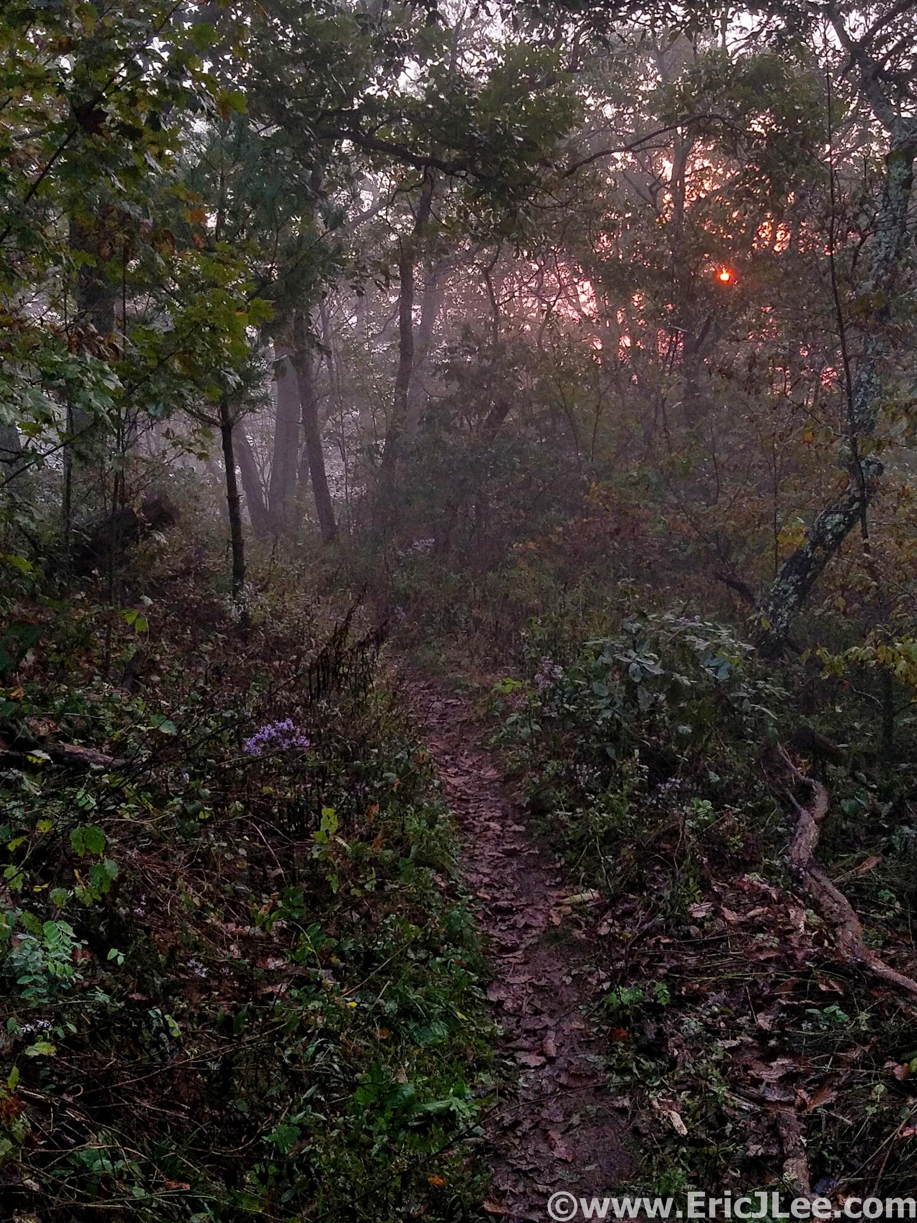
After a long 12hours in the dark the sun breaks through the fog and day is here.
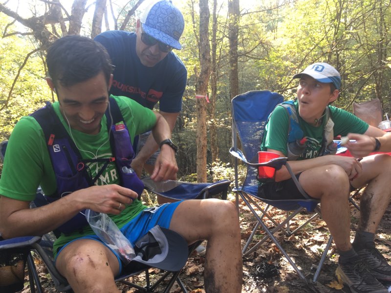
My legs felt really good and I rolled back into North River Gap (14:18) almost an hour ahead of schedule, so early that my friends Tressa and Doug weren’t expecting me. I quickly dumped all my night time gear in my drop bag, grabbed a handful of gels, some gummy bears and started running up the road toward the Lookout AS. I was determined to keep pushing as long and as hard as I could. Tressa’s friend Doug joined me for this section and it was nice to have company for a bit, since I’d run almost all night alone. As we hiked and jogged our way up toward the Lookout AS I could feel the after effects of pushing hard the past 20miles catching up with me. We rolled into Lookout and took a few minutes to try and recharge, I’d put myself into a hole that I now had to dig out of.
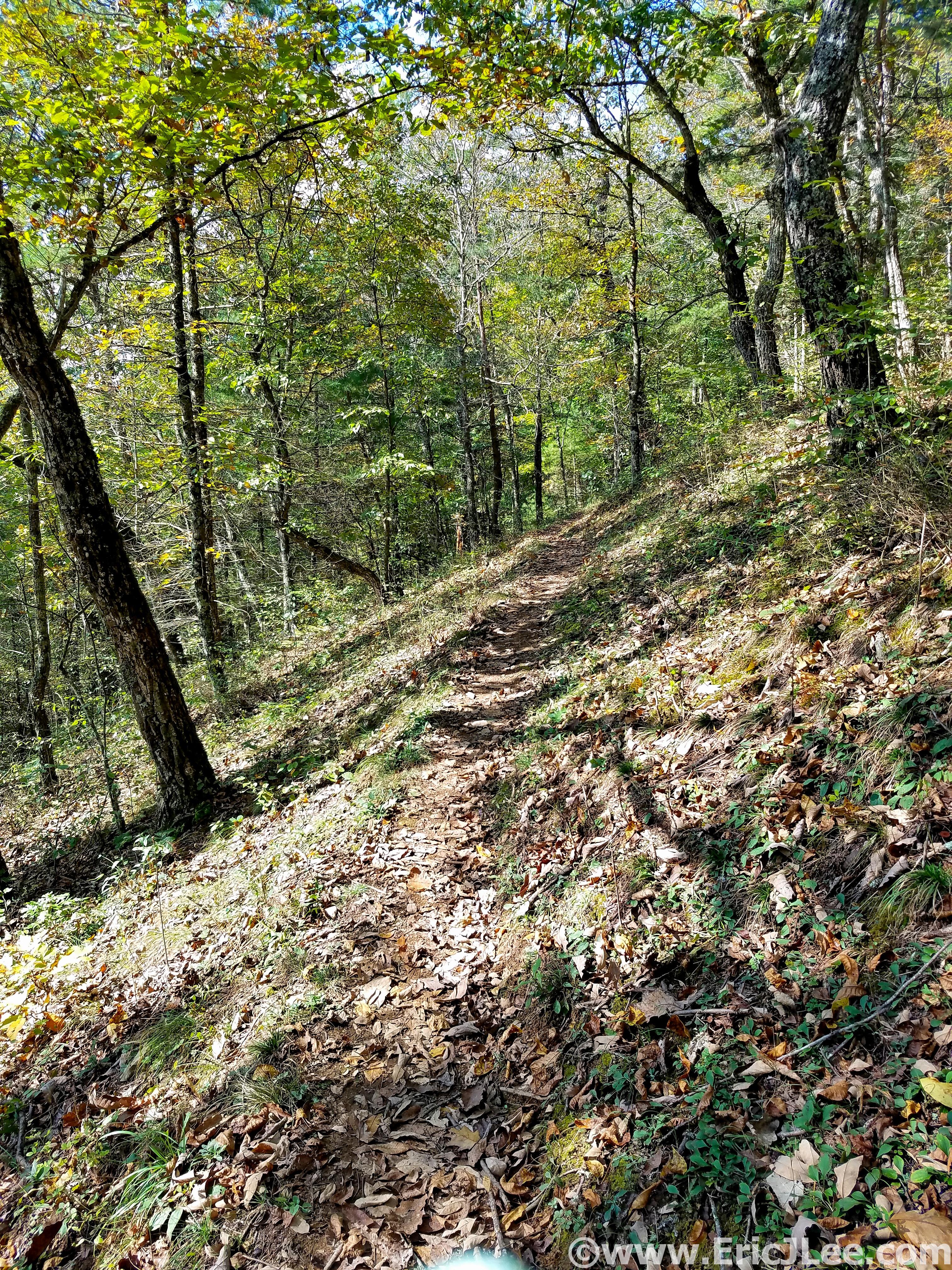
Not a bad place to slog out a few miles in some lovely hardwood forest.
The final 28miles was a brutal slog in proper 100miler fashion. My energy levels alternated between peppy and zombie, but my legs were totally shelled and I had no oompf uphill. Though I can’t say I ran well those final 20+ miles, I just kept on grinding. My legs were stiff, my muscles were exhausted, I smelled terrible (according to Tressa), but we were still able to share many laughs and stories in those final miles. We rolled into the final aid station and I told my sister (who was going to pace me) that we had 1:27 to go 5.3mi to make it in under 24hours, I didn’t know if my legs had it in them, but I sure as heck was gonna give it a shot.
Nick and I being entertained by Frank, Dave Horton and crew at Dowell’s Draft. Even when hurting you can still have fun.
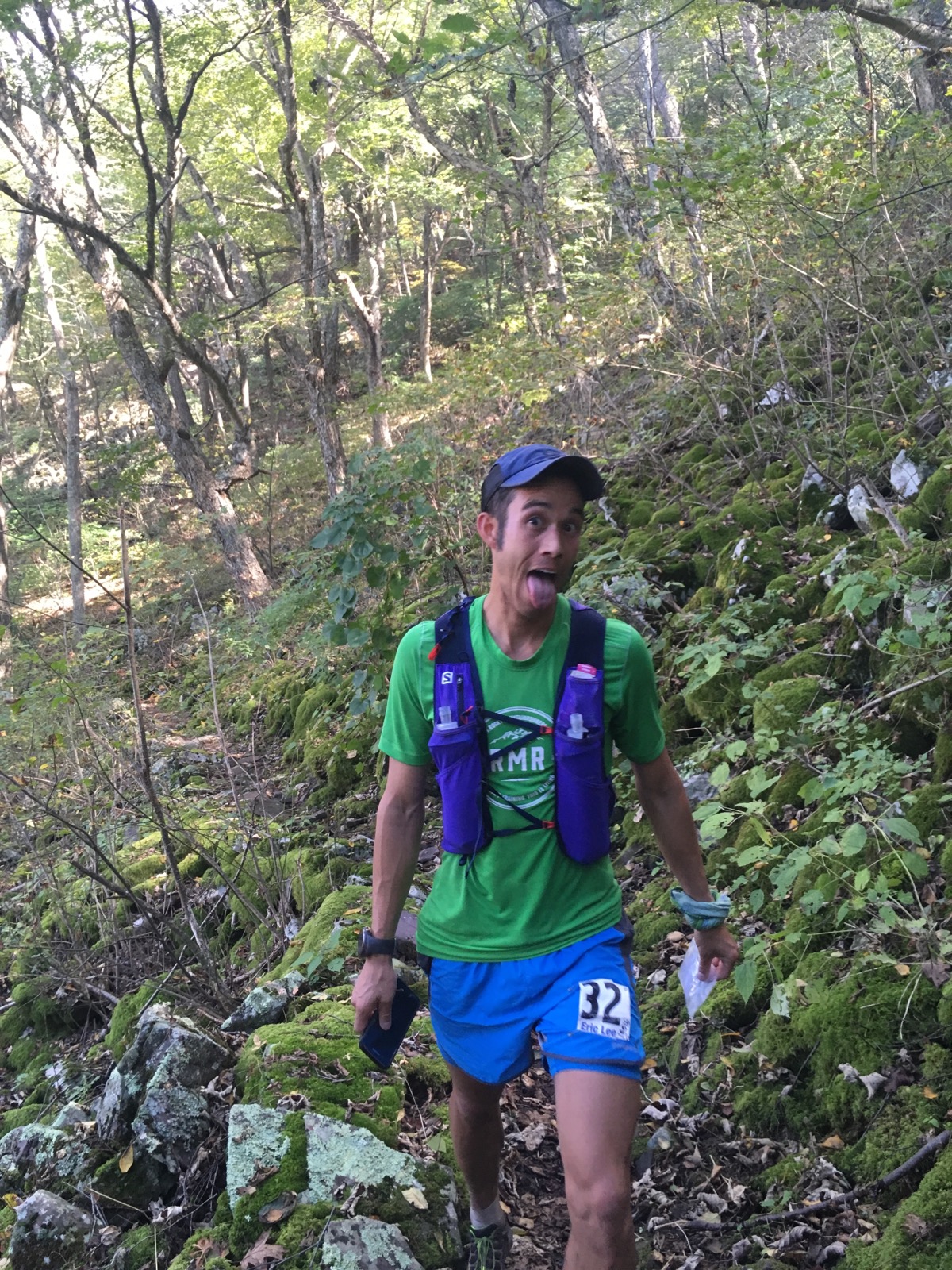
I may have felt like crap, but its only running after all.
I put my head down and slow shuffled the flats, power hiked the ups and tried to let the legs roll on the downs. The miles slowly ticked away, and I just kept grinding. We finally reached the edge of the Boy Scout camp with 27min to go and 1.5miles, for the first time in the last 20miles I felt confident we were gonna make it under 24hours! We jogged through the trees and around the lake, the stiffness was still there, but the pain had temporarily gone numb as the adrenaline of the finish line surged. We ran across the field, I crossed the finish line in 23:51:27 (16th overall) and crumpled to the ground, thoroughly wasted. A high five from my nephew, hugs from my sister and friend Tressa and the satisfaction of knowing I’d given the race all I had, it had beaten me down, but I’d persevered regardless.
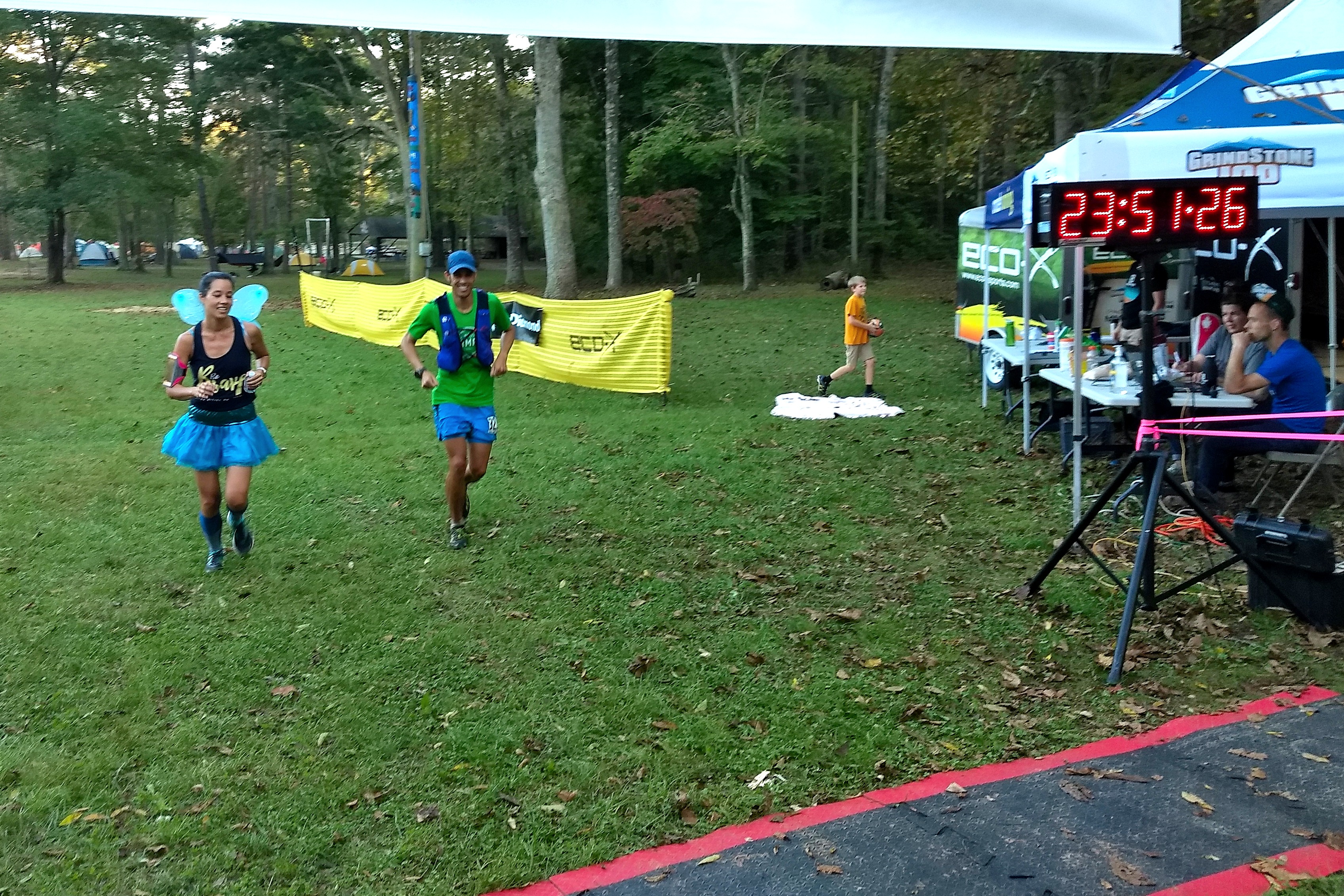
My sister and I joyously crossing the finish line in under 24hours.
The race had many ups and downs, for 20miles I’d felt nearly invincible, only to come crashing back down again. Despite all that it was great to share those final 20miles with first my friend Tressa and then my sister. 100 mile races are often very solitary adventures for me, as I end up running alone for countless hours, but it’s always great to share some of those miles with good people. Grindstone was an amazing adventure in brand new terrain. The race had lived up to its billing as a tough and unrelenting East Coast mountain run. The night was long and hard, the trails were a mix of runnable terrain and brutal climbs, the damp fog and mud added a whole new dimension to an already tough course. I would highly recommend Grindstone to anyone looking for a challenging but really well run and well supported 100miler. Thanks to both Andrew and Nick for sharing some of those miles and a few laughs along the course. To Doug, Tressa and Kirsten for slogging out those final 35miles with me, Vfuel Endurance for keeping me powered up to reaching my ‘A’ goal despite the ups and downs. 100milers are never easy, but they are always an adventure, looking forward to the next one on Nov 2nd (?!?!)….stay tuned.
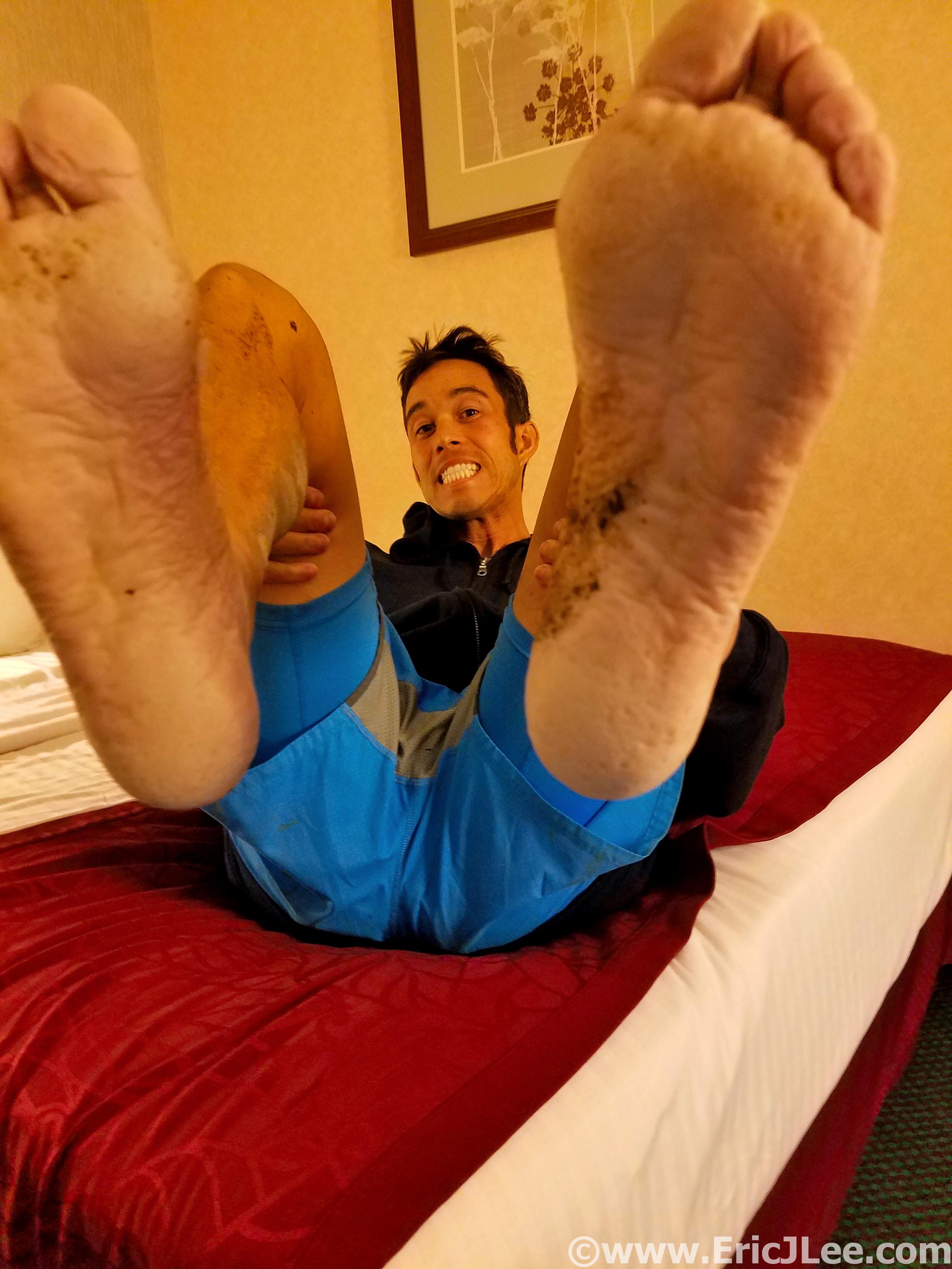
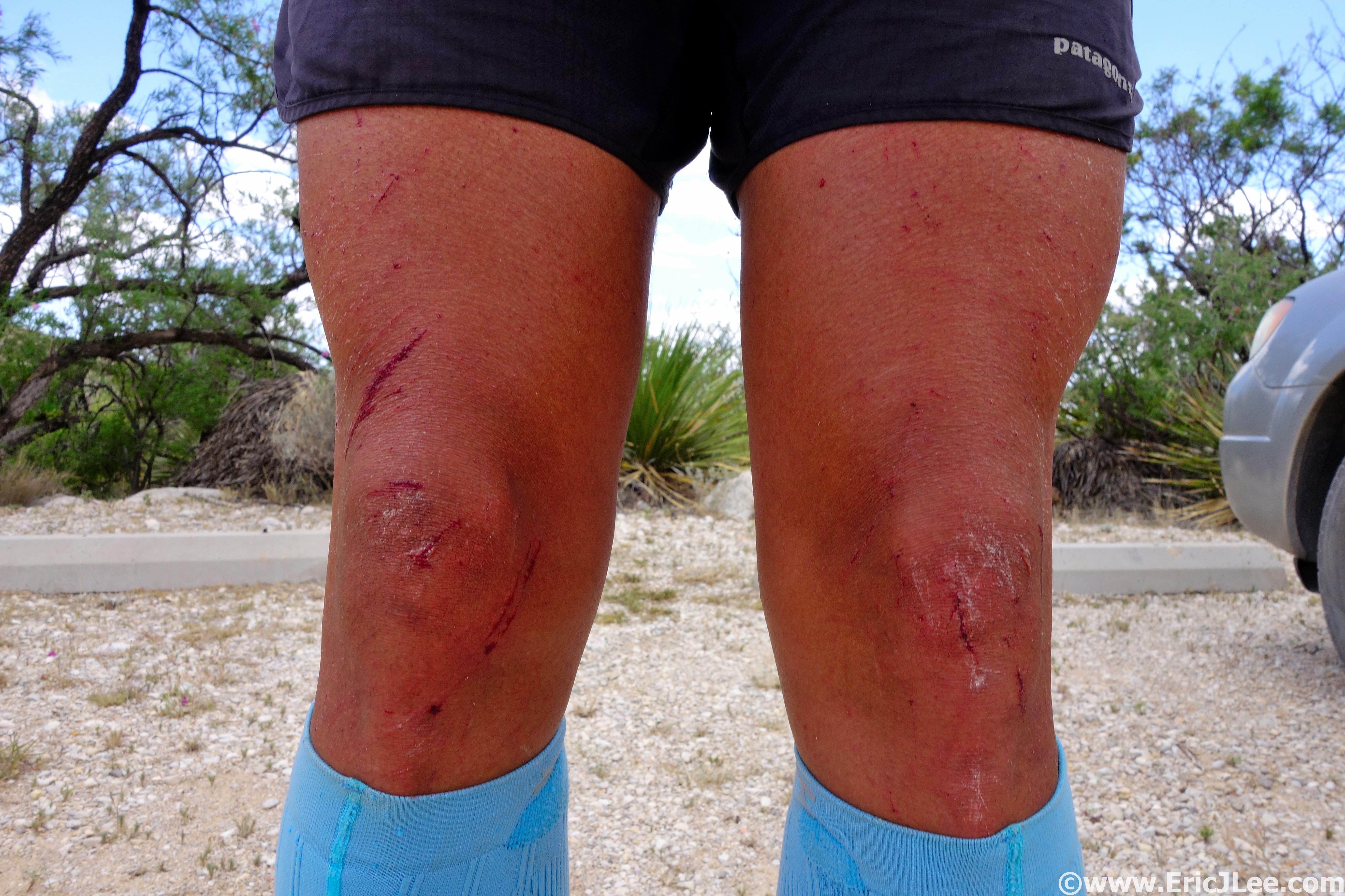
This is what 100miles of wet and muddy feet without a shoe change will do.
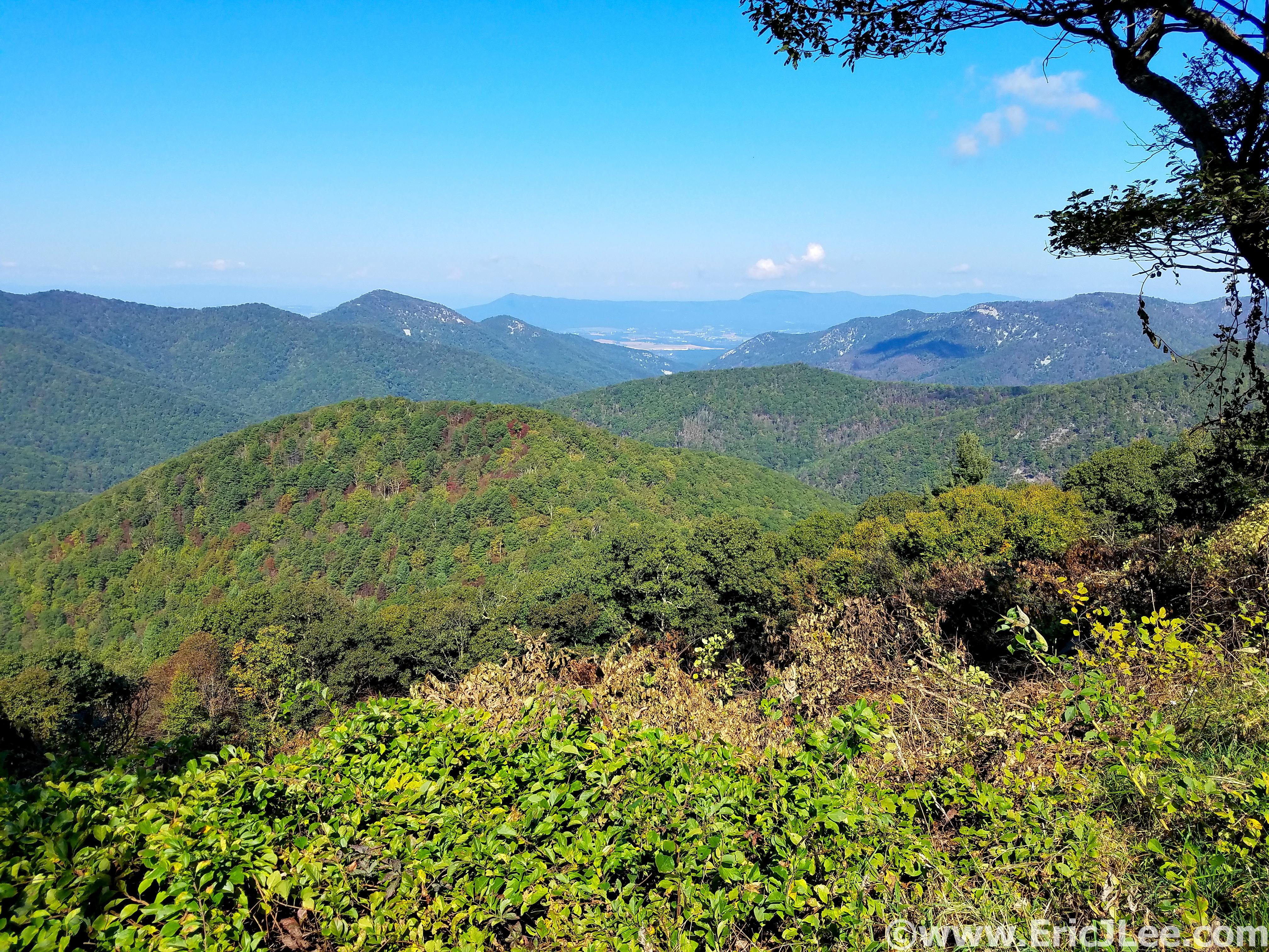
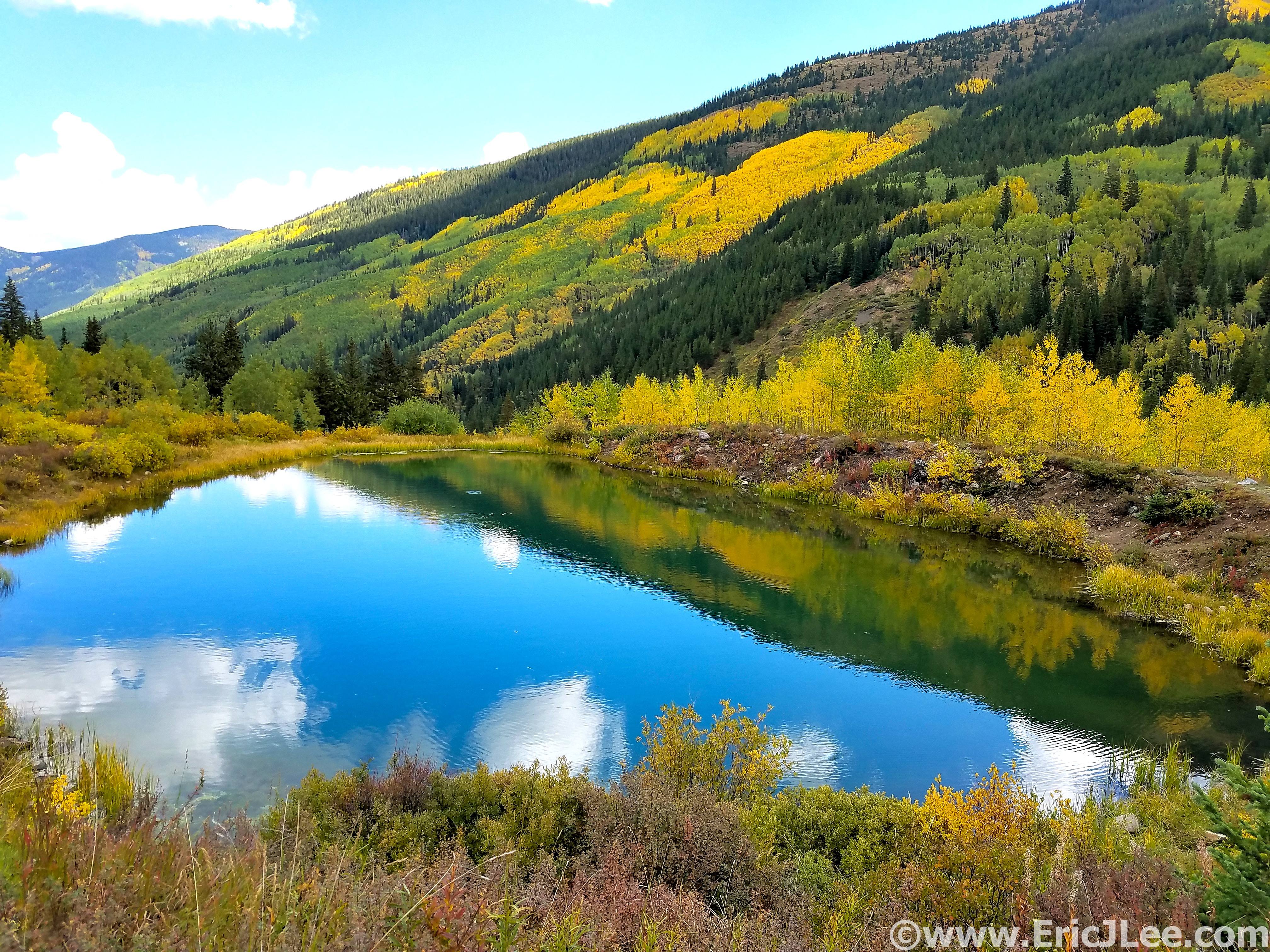
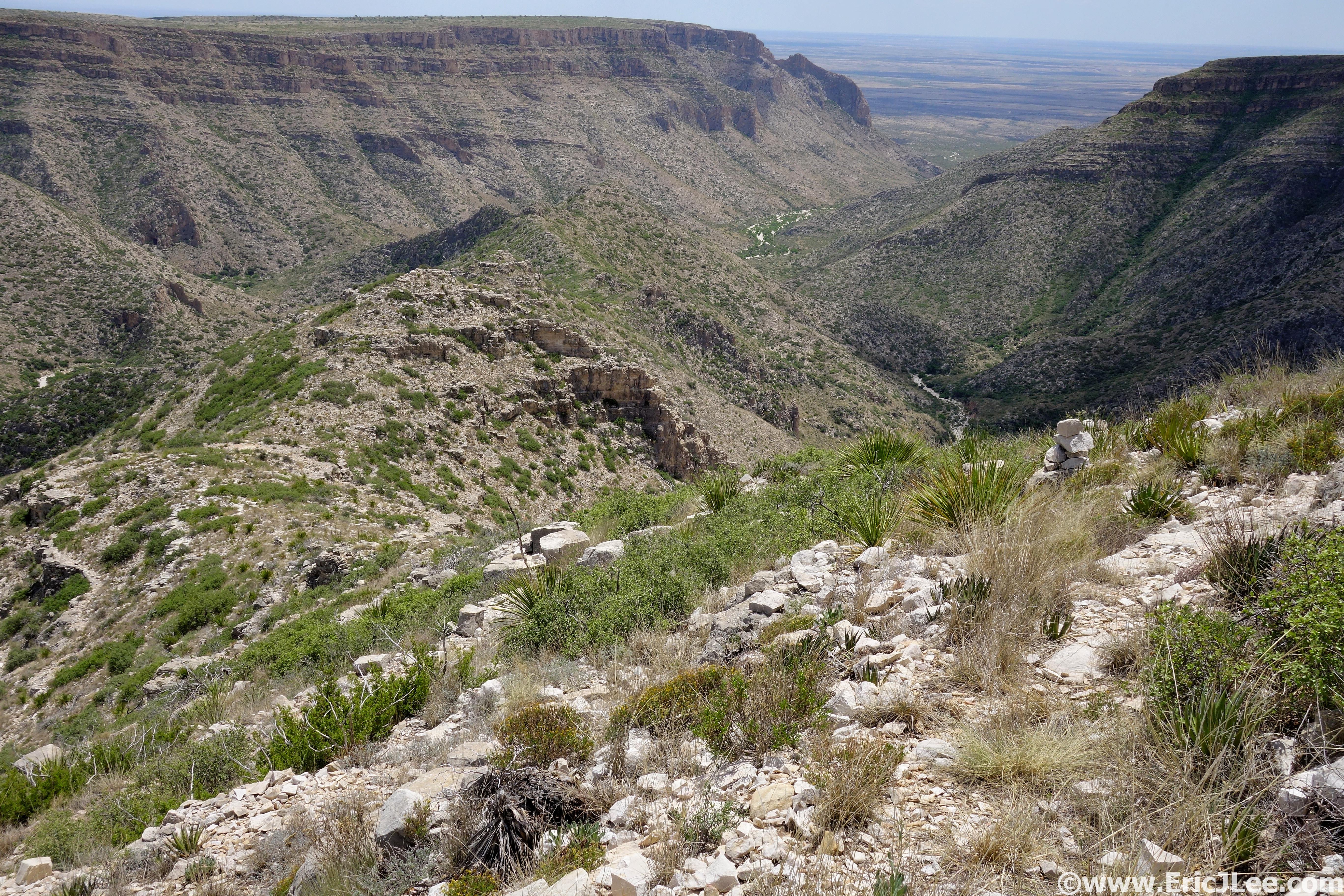
Post-race recovery tour of Shanendoah NP.
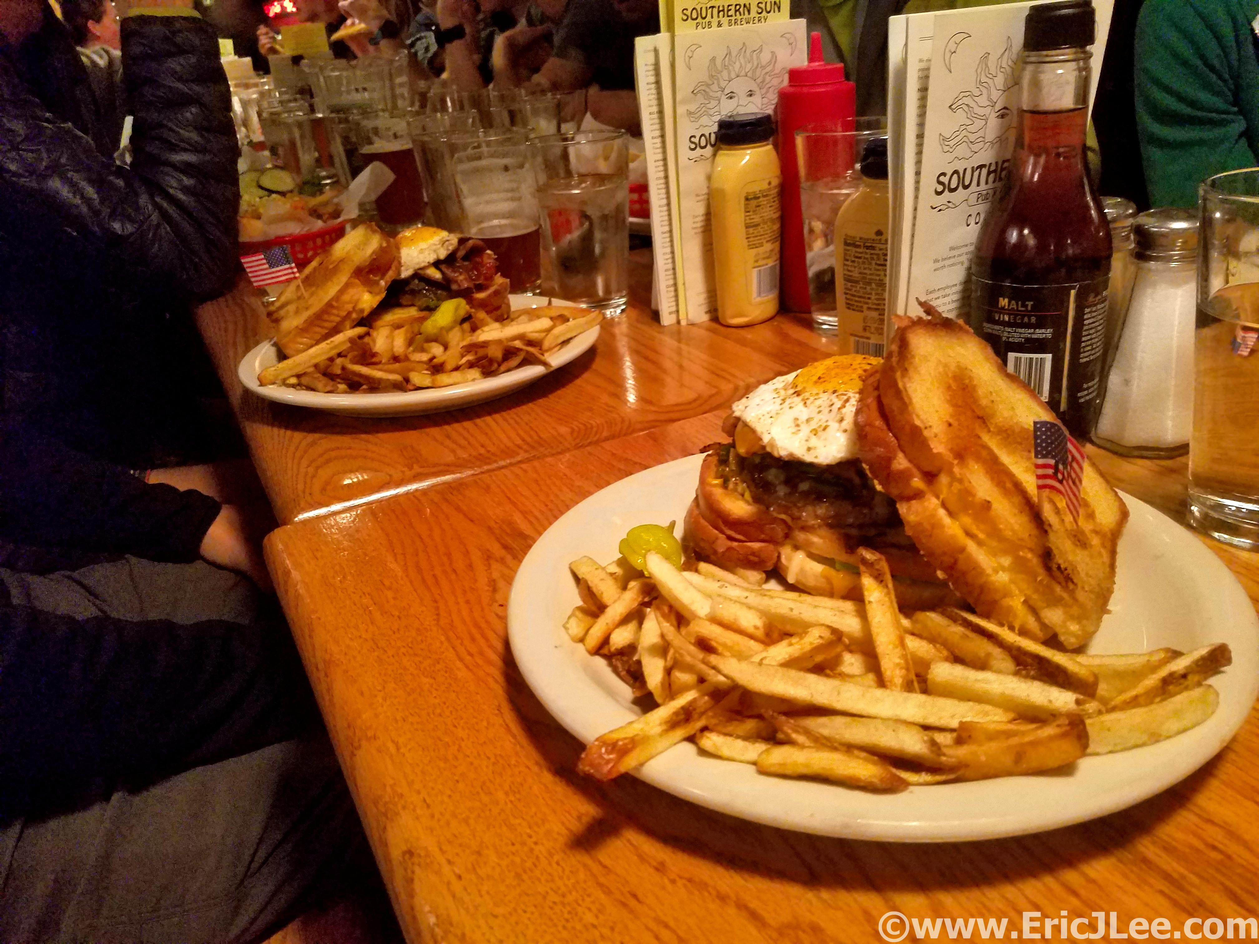
The infamous 100mile burger, >2000calories of greasy amazing.
Short compilation video of the race